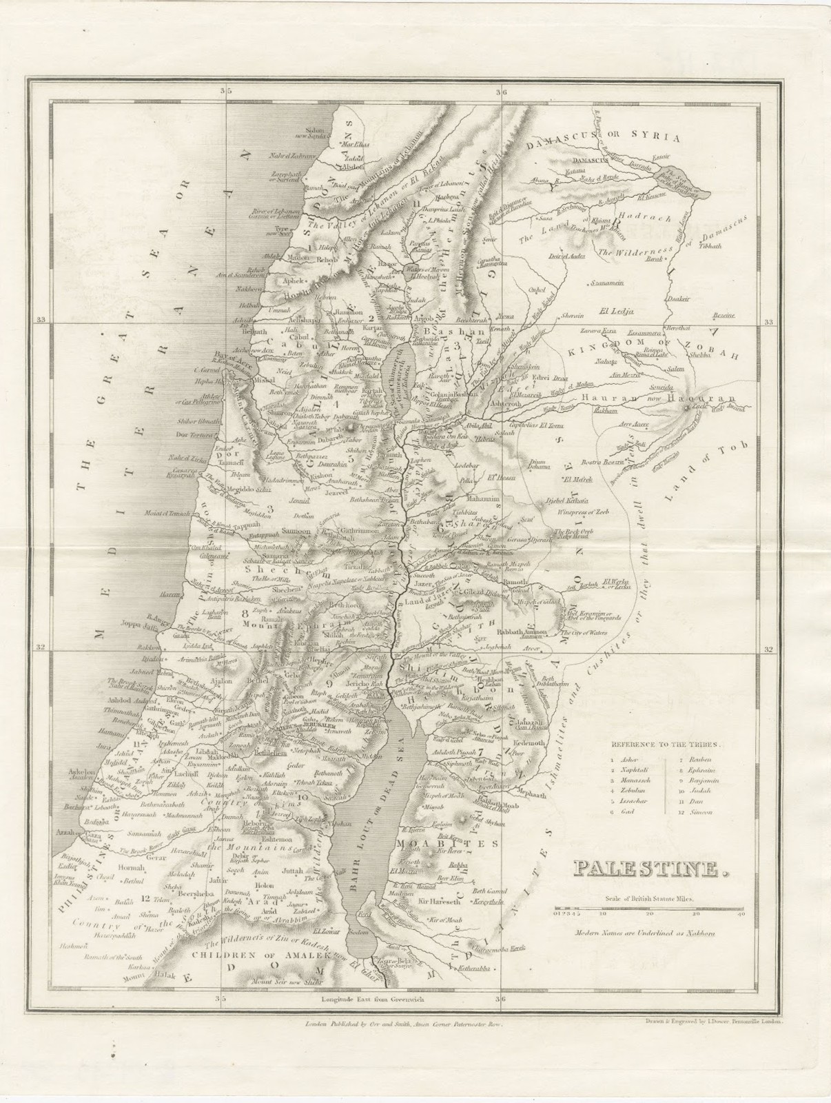
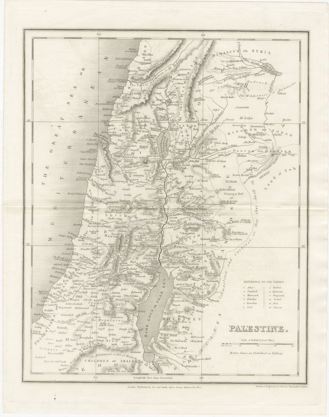
Antique Map of Palestine with the Twelve Tribes by Dower, circa 1835
€ 245
Original antique · The actual sheet photographed · Certificate of authenticity on request · Sold unframed · Worldwide shipping from € 15 (rates)
Date
circa 1835
Mapmaker / artist
John Dower
Publisher
Orr and Smith, Amen Corner, Paternoster Row, London
Technique
Steel Engraving
Colouring
Uncoloured
Condition
Good
Reference
BG-14279-38
Condition
Good condition for its age. Light horizontal fold across the centre; light soiling and a few small spots to the margins. Please review the images for further condition details.
About this sheet
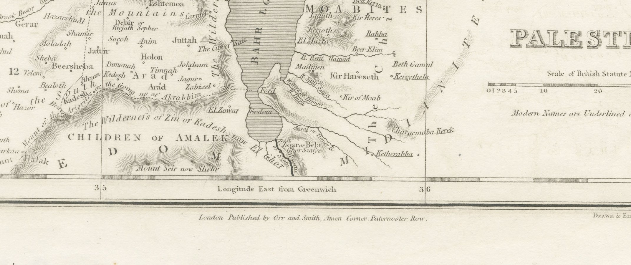
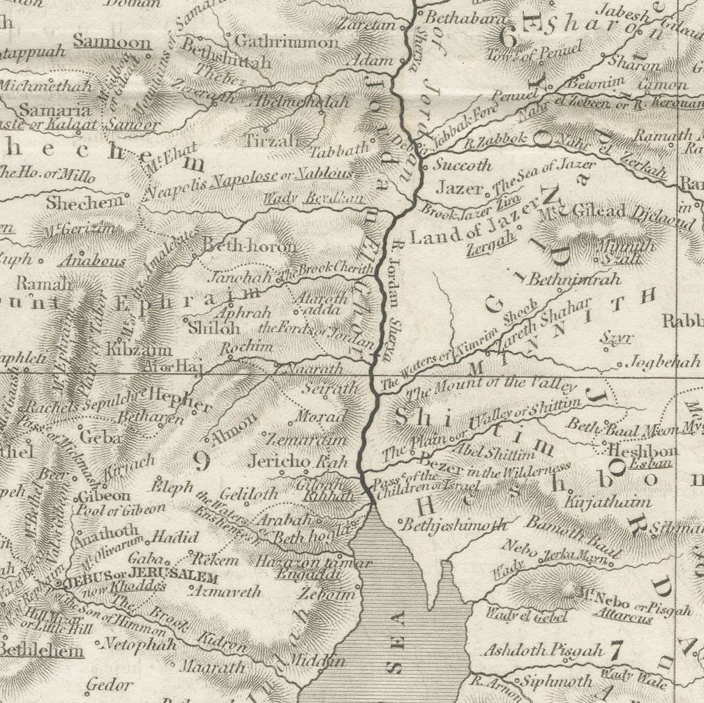
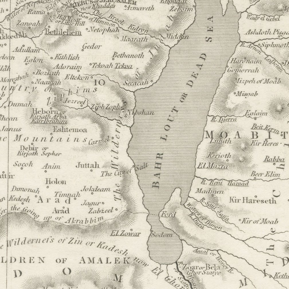
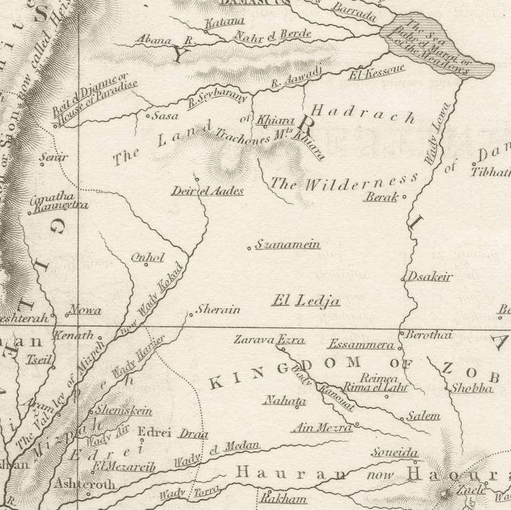
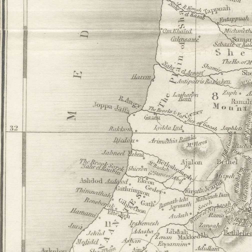
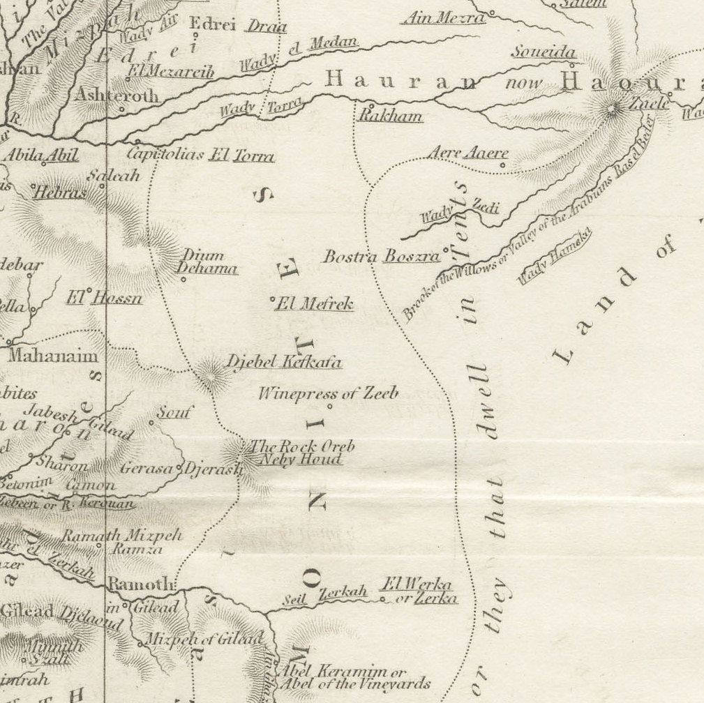
This antique map of Palestine was drawn and engraved by John Dower of Pentonville and published in London by Orr and Smith of Amen Corner, Paternoster Row, around 1835. It shows the Holy Land from Sidon and Damascus to Edom and the Wilderness of Zin.
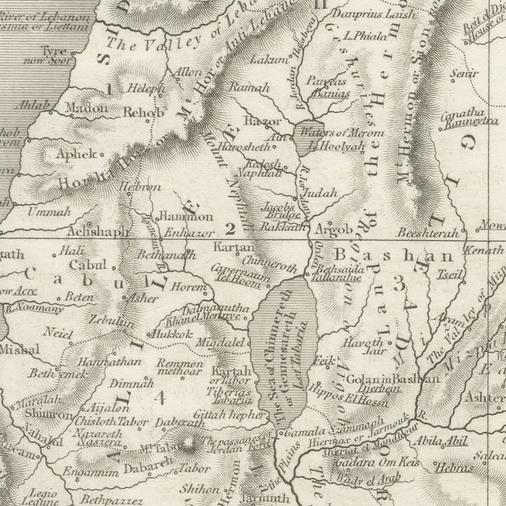
A Reference to the Tribes numbers the territories of Asher, Naphtali, Manasseh, Zebulun, Issachar, Gad, Reuben, Ephraim, Benjamin, Judah, Dan and Simeon, and a note explains that modern names are underlined. Biblical kingdoms such as Zobah and Bashan, the Land of Tob and the Children of Amalek appear around the edges, and the Sea of Galilee, the River Jordan and the Dead Sea are shown with fine hachured relief.
John Dower of Pentonville was one of the leading London map engravers of the first half of the nineteenth century, and his maps were published by William Orr and his partners from their premises at Amen Corner, Paternoster Row. Engraved on steel, they combine clear lettering with fine hachured relief and remain popular with collectors of Victorian cartography. This example is uncoloured.
With its combination of biblical and modern names, this is an excellent study map of the Holy Land and a fine framed piece for a collector of biblical geography. Beyond its decorative appeal, a map of this kind records the place names, routes and political divisions known to travellers, merchants and scholars of its day, which gives it lasting value as a historical document.
The sheet is in good condition for its age, with a light horizontal fold across the centre and a few small spots in the margins; the image is clean.
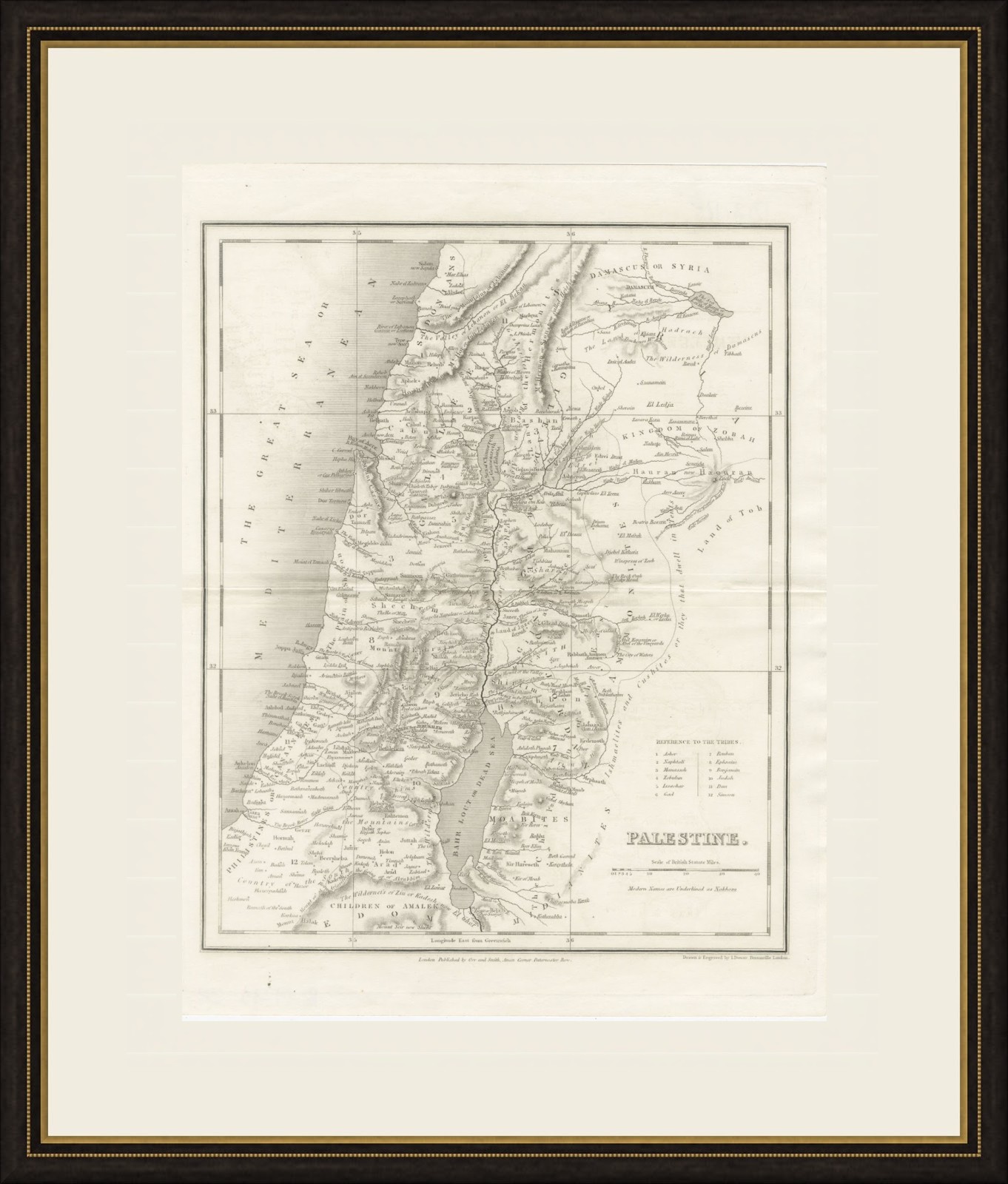
This is an original antique map, not a modern reproduction. This item is sold unframed. Any framed or interior images are shown for presentation and inspiration only, unless the listing explicitly states that the item is sold framed.