Antique Maps of West Asia & the Holy Land
127 original sheets
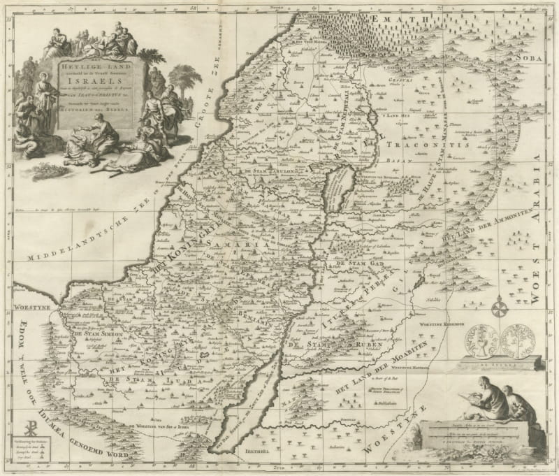
The Holy Land Divided into the Twelve Tribes of Israel, Mortier, 1700
circa 1700 · € 570
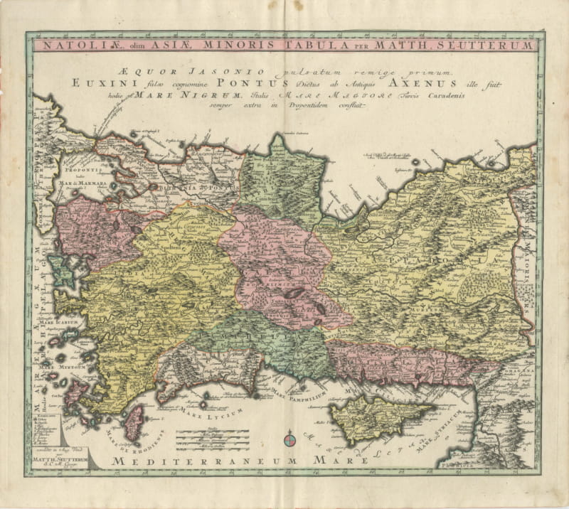
Antique Map of Asia Minor and Cyprus by Matthaeus Seutter, circa 1740
circa 1740 · € 1 100
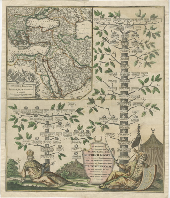
Greek and Turkish Emperors Family Tree with Map, Seutter, circa 1720
circa 1720 · € 1 200
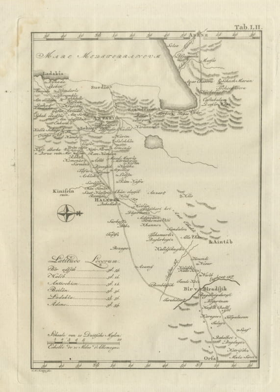
Antique Map of Northern Syria, Aleppo and Antioch, 1780
1780 · € 340
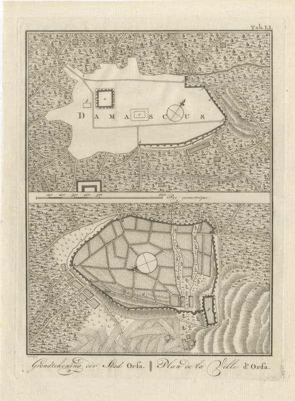
Antique Plans of Damascus and of Urfa or Edessa, Niebuhr, 1780
1780 · € 220
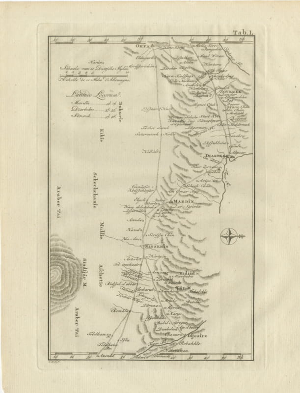
Antique Map of Urfa, Diyarbakir, Mardin and Nisibis, 1780
1780 · € 330
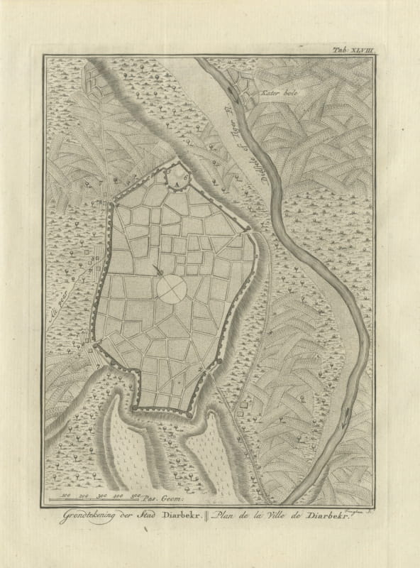
Antique Plan of the City of Diyarbakir, Niebuhr Engraving, 1780
1780 · € 220
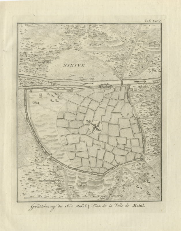
Antique Plan of the City of Mosul on the Tigris, 1780
1780 · € 310
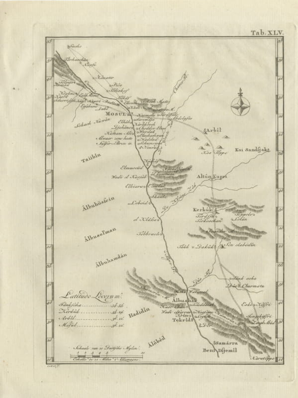
Antique Map of Mosul, Kirkuk and Samarra, Niebuhr, 1780
1780 · € 330
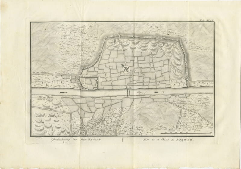
Antique Plan of the City of Baghdad, Niebuhr Engraving, 1780
1780 · € 150
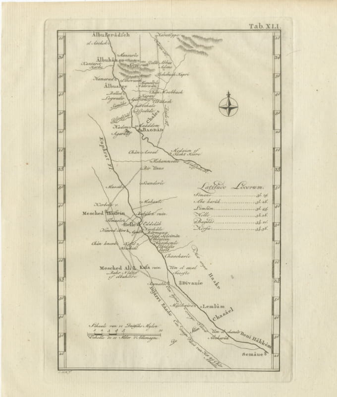
Antique Map of Babylon, Baghdad and the Euphrates, 1780
1780 · € 340
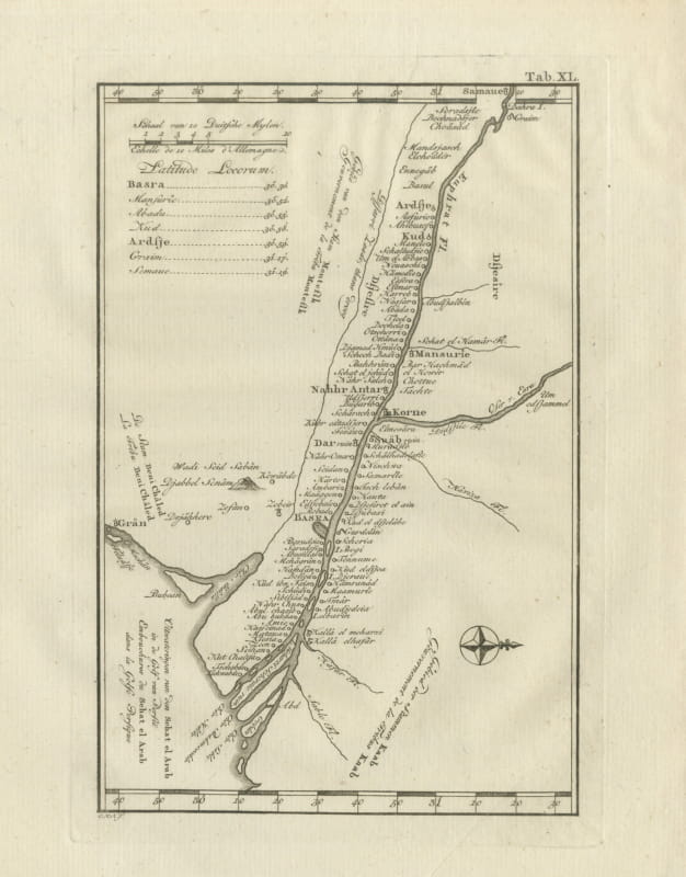
Antique Map of the Shatt al Arab and Basra, Niebuhr, 1780
1780 · € 340
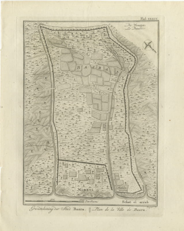
Antique Plan of the City of Basra, Niebuhr Engraving, 1780
1780 · € 230
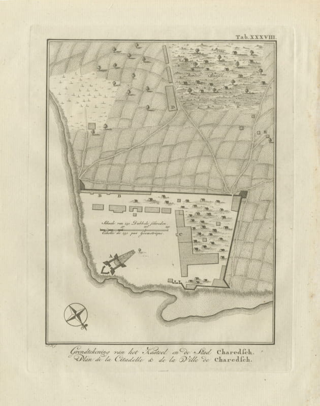
Plan of the Citadel and Town of Kharg Island, Antique Print, 1780
1780 · € 295
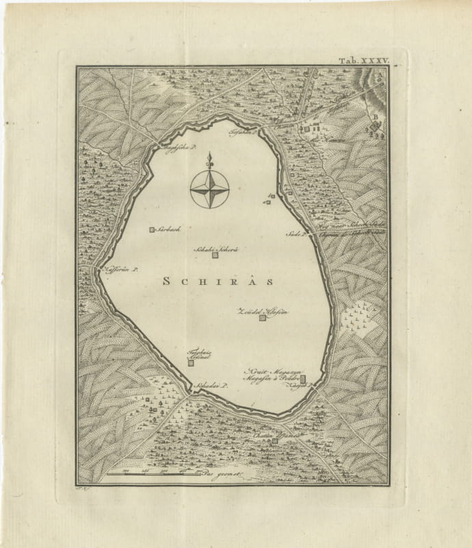
Antique Plan of the City of Shiraz in Persia, Niebuhr, 1780
1780 · € 170
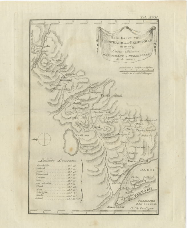
Route Map from Bushire to Persepolis and Back, Antique Print, 1780
1780 · € 230
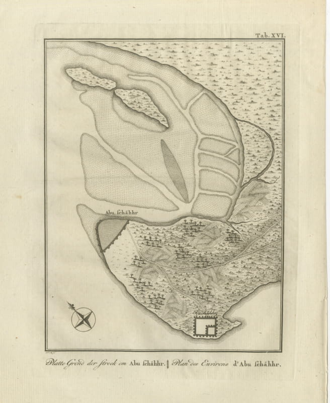
Plan of the Country around Bushire in Persia, Antique Print, 1780
1780 · € 220
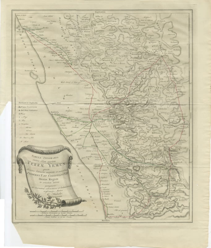
Antique Map of Yemen from the Danish Expedition, Niebuhr, 1776
1776 · € 450
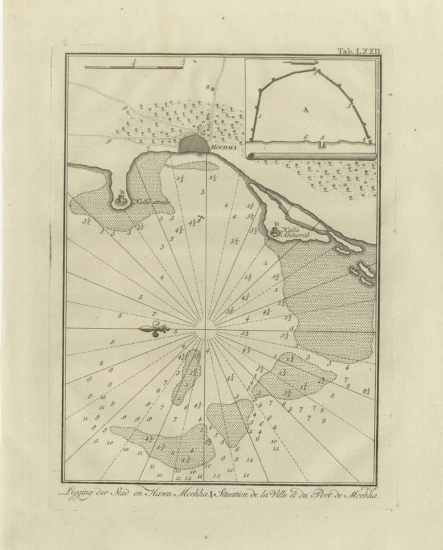
The Town and Port of Mocha in Yemen, Antique Niebuhr Chart, 1776
1776 · € 290
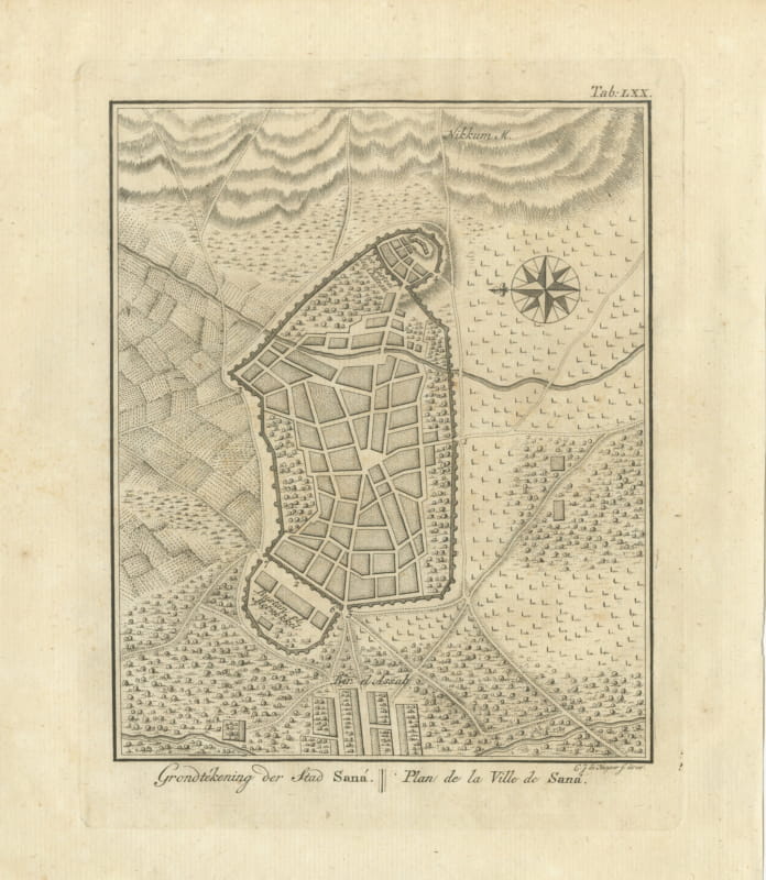
Antique Plan of the City of Sana, Capital of Yemen, 1776
1776 · € 330
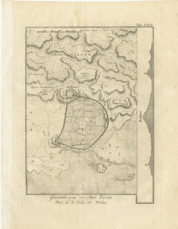
Antique Plan of the City of Taiz in Yemen, Niebuhr Engraving, 1776
1776 · € 210
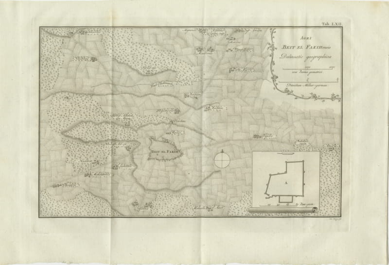
Antique Map of the District of Beit el Fakih, Niebuhr, 1776
1776 · € 280
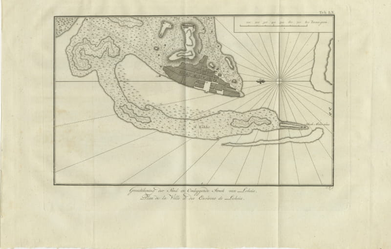
Antique Plan of Loheia and Its Surroundings, Niebuhr, 1776
1776 · € 180
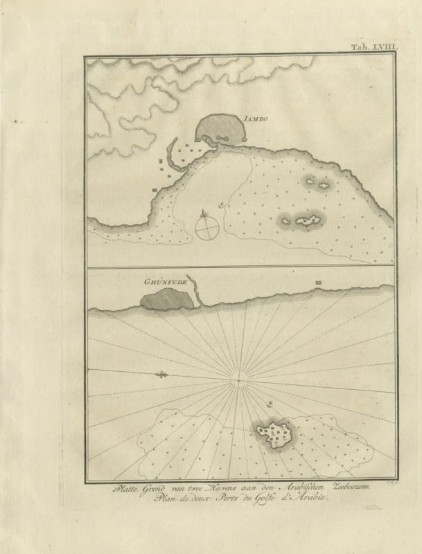
Plans of Two Red Sea Ports, Antique Niebuhr Chart, 1776
1776 · € 195
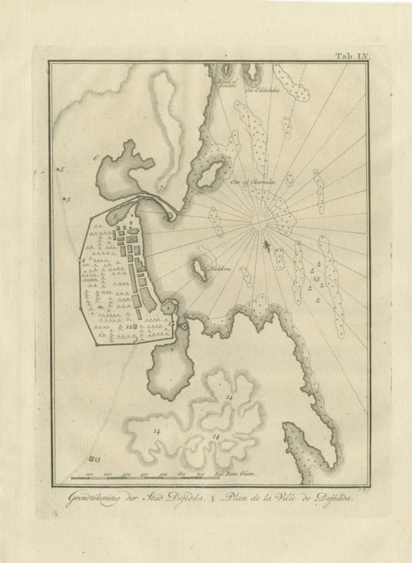
Antique Plan of the City of Jeddah, Niebuhr Copper Engraving, 1776
1776 · € 310
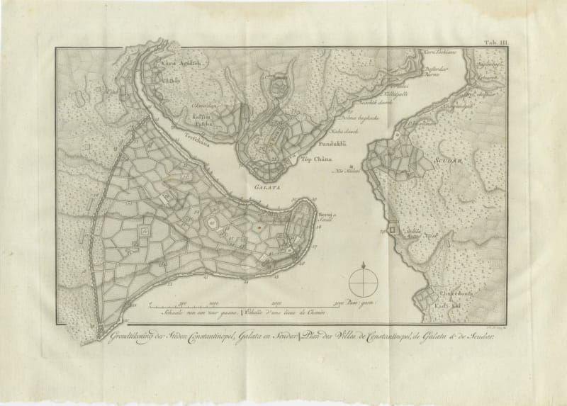
Antique Plan of Constantinople, Galata and Scutari, Niebuhr, 1776
1776 · € 380
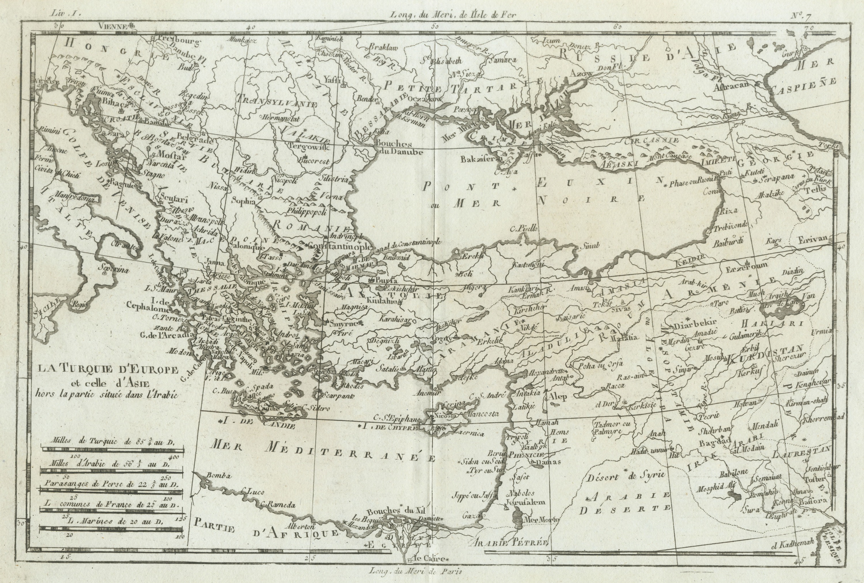
Antique Map of the Ottoman Empire in Europe and Asia by Bonne, circa 1780
circa 1780 · € 335
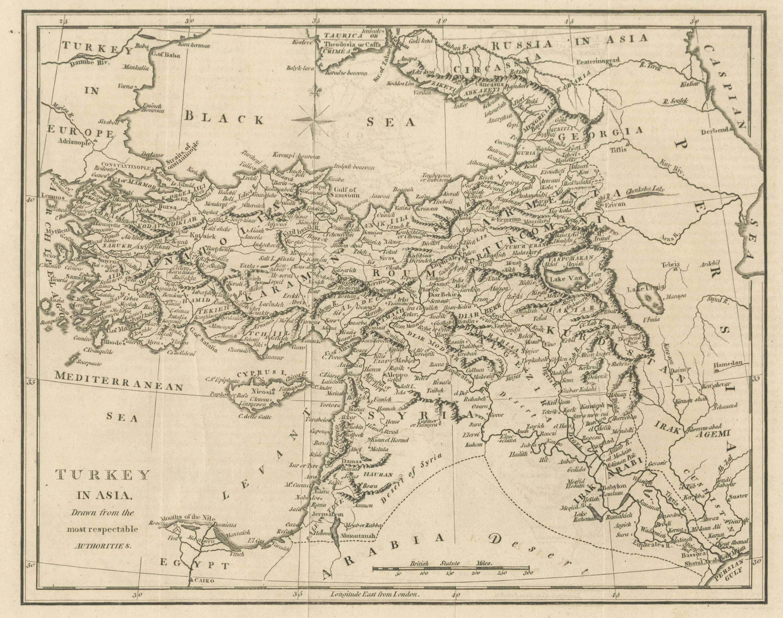
Antique Map of Turkey in Asia, Ottoman Anatolia, Syria and Iraq, circa 1795
circa 1794-1800 · € 265
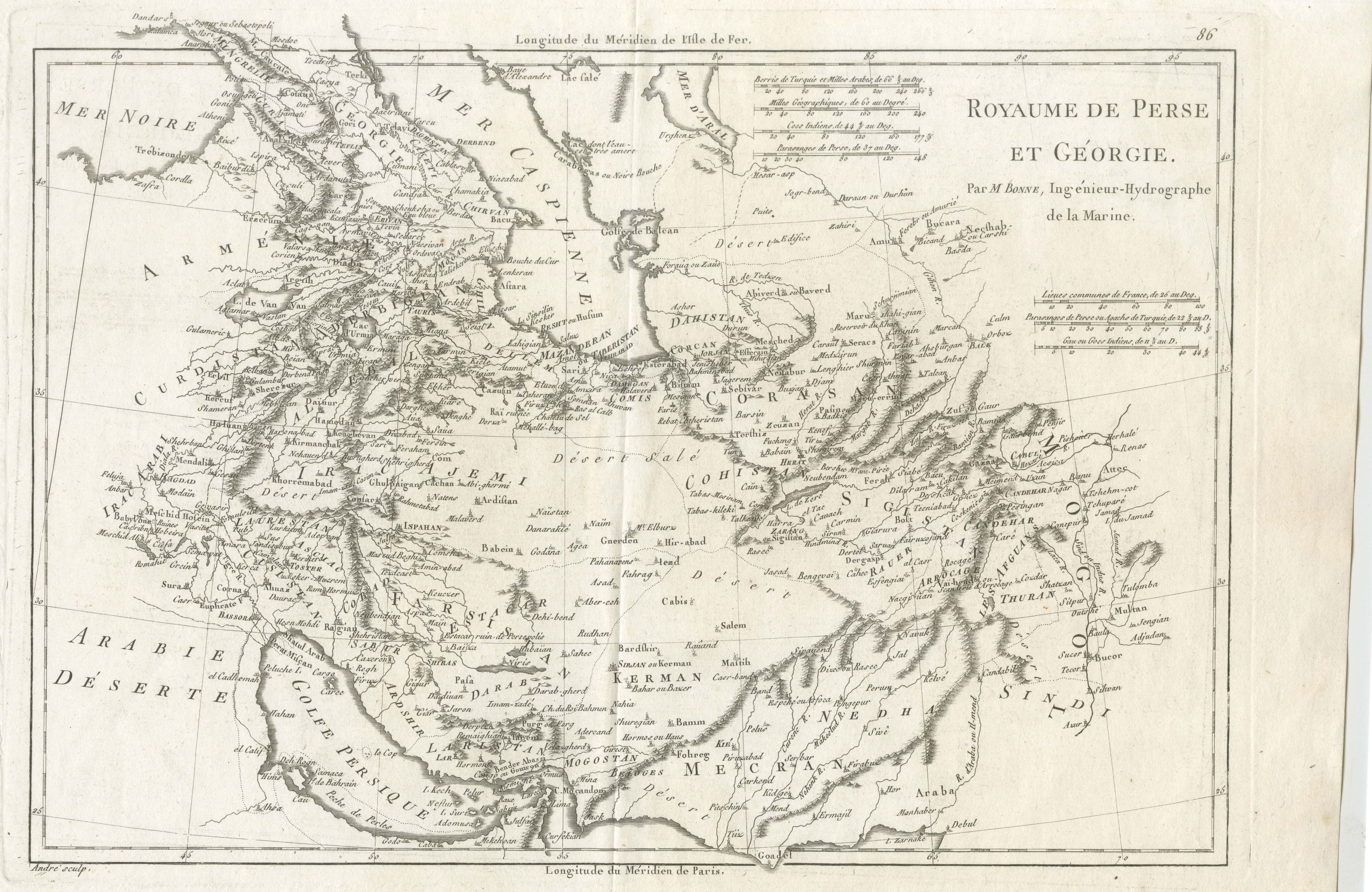
Antique Map of Persia and Georgia by Bonne, Royaume de Perse, circa 1787
circa 1780-1790 · € 385
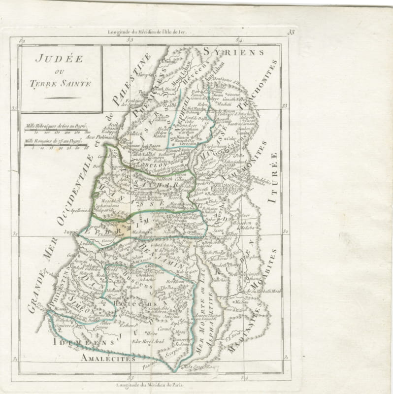
Antique Map of Judaea or the Holy Land with the Twelve Tribes, circa 1800
circa 1800-1806 · € 295

Antique New Testament Map with Plan of Jerusalem after Bonne, circa 1770
circa 1762-1780 · € 450

Antique Map of Turkey in Asia, Armenia and Mesopotamia, circa 1760
circa 1750-1770 · € 195
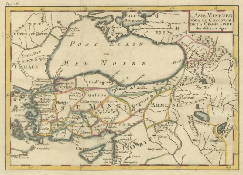
Antique Asia Minor Map with Classical Regions by Pluche, Black Sea, circa 1765
circa 1765 · € 245
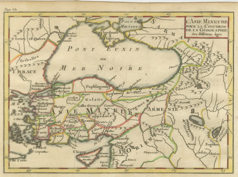
Antique Map of Asia Minor by Pluche, Concorde de la Geographie, circa 1765
circa 1765 · € 245
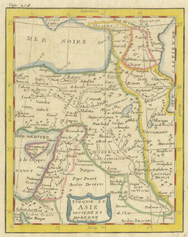
Antique Map of Turkey in Asia with Blue Draped Cartouche, circa 1760
circa 1750-1770 · € 240
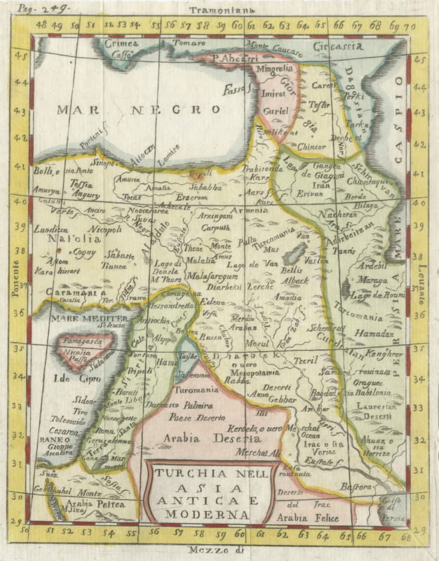
Antique Italian Map of Turkey in Asia by Buffier, Turchia nell Asia circa 1780
circa 1760-1790 · € 195

Antique Turkey in Asia Map with Cyprus and the Holy Land, circa 1760
circa 1750-1770 · € 195
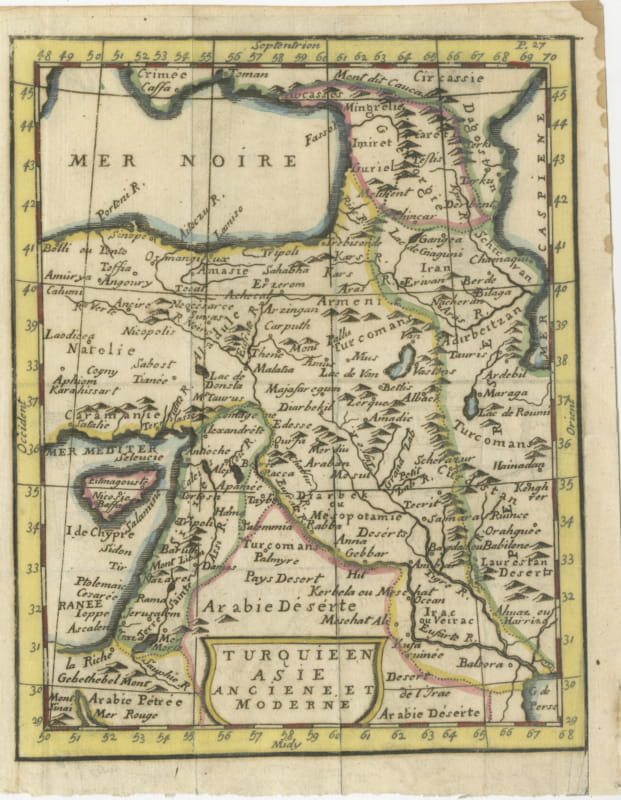
Antique Map of Turkey in Asia, Ancient and Modern, Pocket Map circa 1760
circa 1750-1770 · € 230
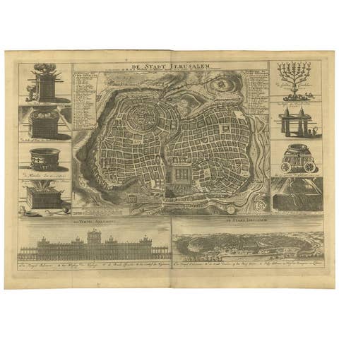
Antique Bible Plan of Ancient Jerusalem, 1743
1743 · € 1 142
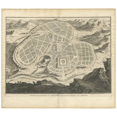
Antique Map of the Ancient City of Jerusalem by A. Calmet, 1725
1725 · € 360
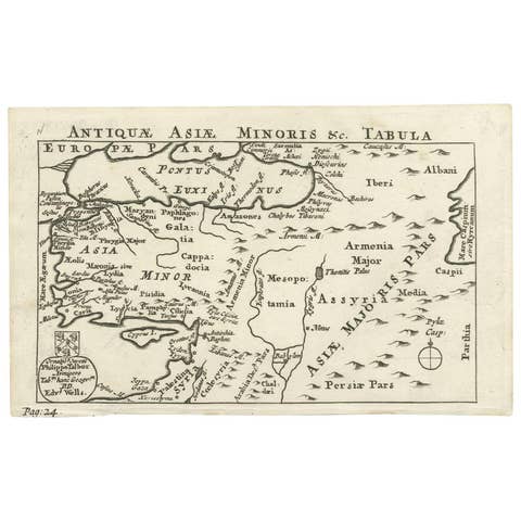
Antique Map of Asia Minor by Philippo Talbor, Edward Wells, Circa 1718
1718 · € 240
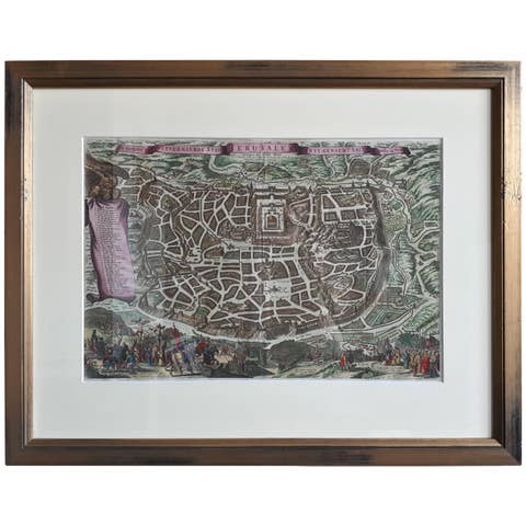
Antique Map of the City of Jerusalem by N. Visscher, 1702
1702 · € 3 450

Antique Map of Persia by A. Zatta, circa 1785
1785 · € 260
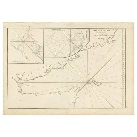
Original Antique Engraved Map of Part of the Red Sea, Arabia, 1775
1775 · € 437
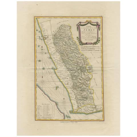
Antique Map of Yemen by Schraembl, 1789
1789 · € 900
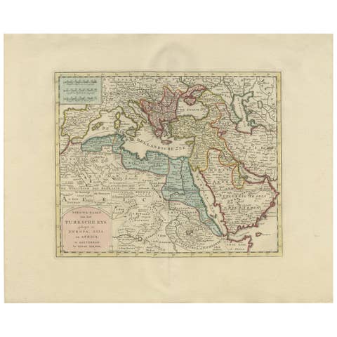
Original Antique Map of the Turkish Empire by I. Tirion, 1760, Wall Art Decor
1760 · € 1 400
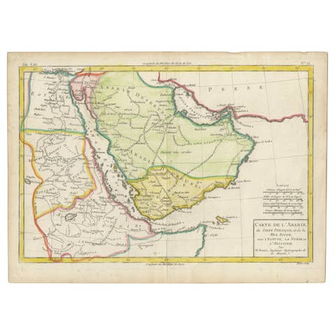
Antique Map of the Arabian Peninsula by Bonne 'c.1780'
1780 · € 650
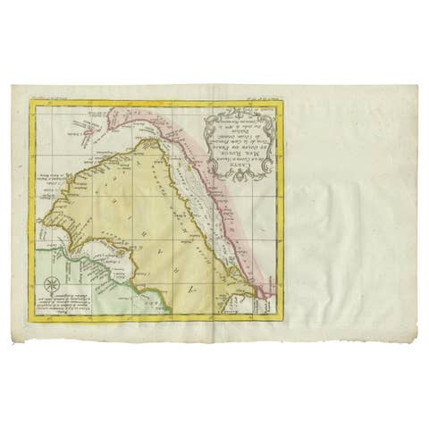
Antique Map of the Arabian Peninsula by Bellin 'c.1740'
1740 · € 500