About this sheet
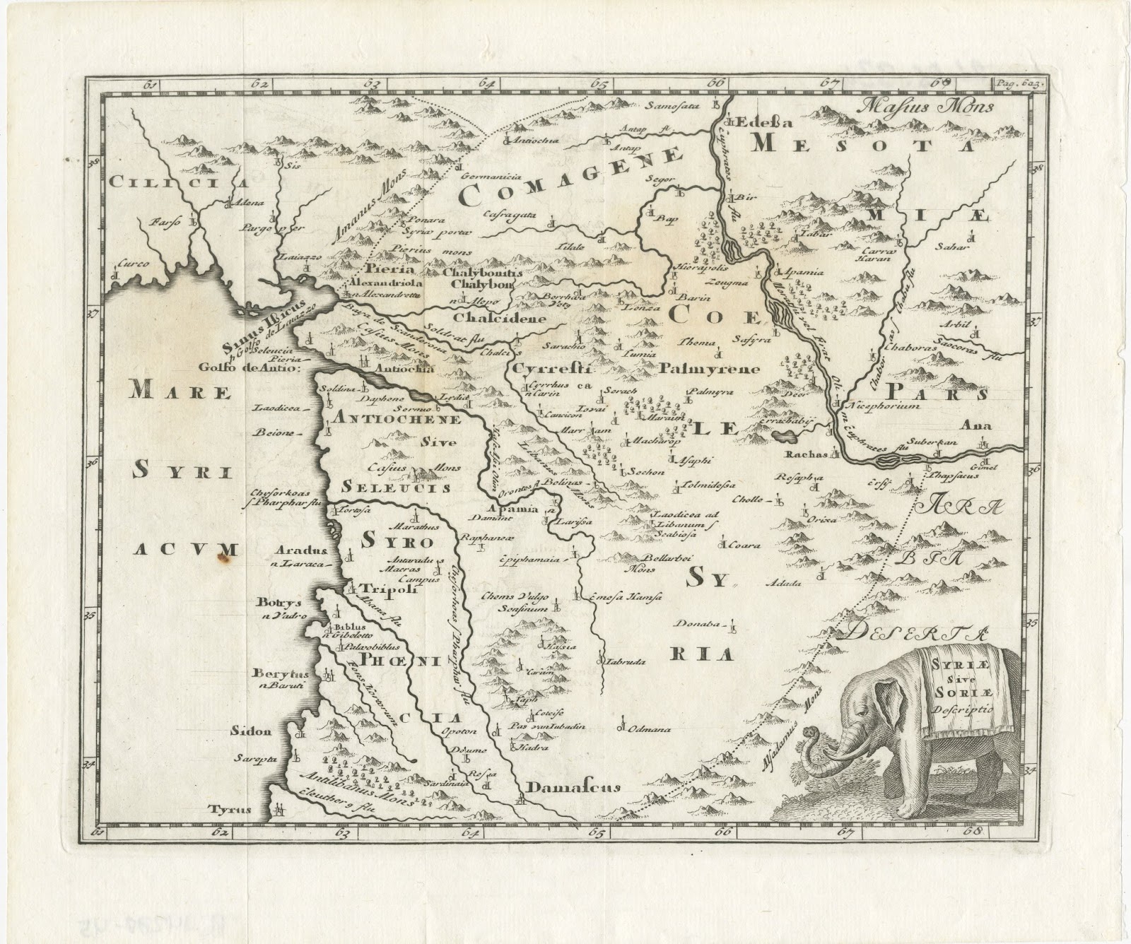
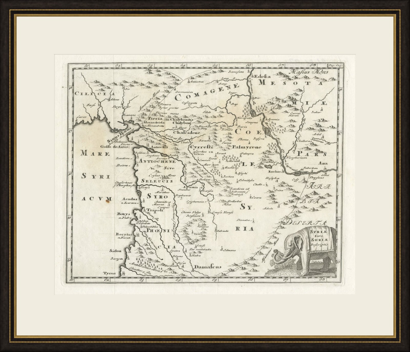
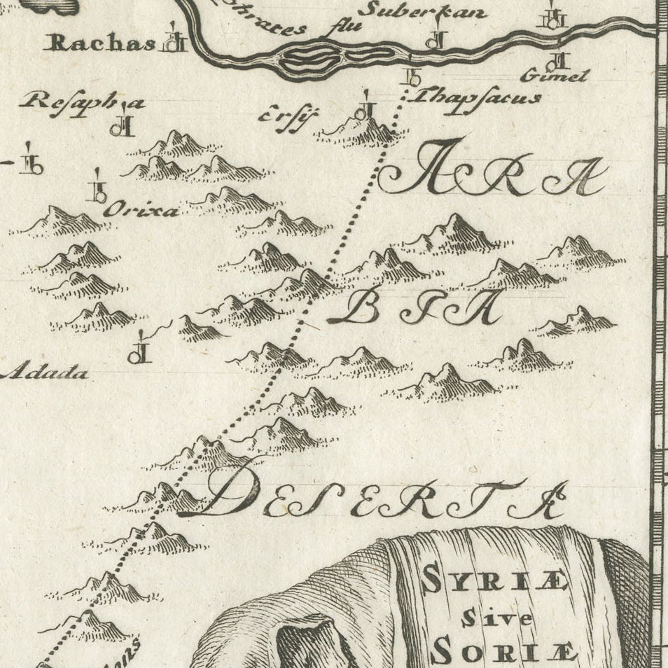
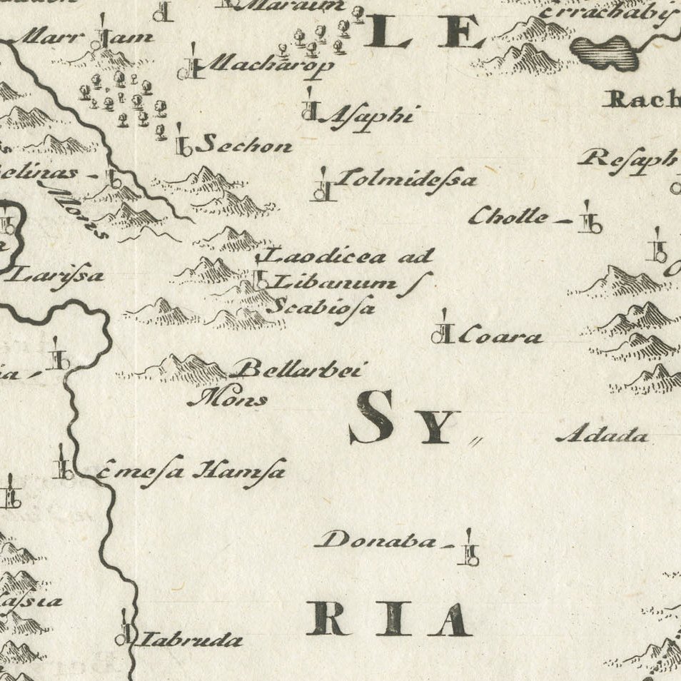
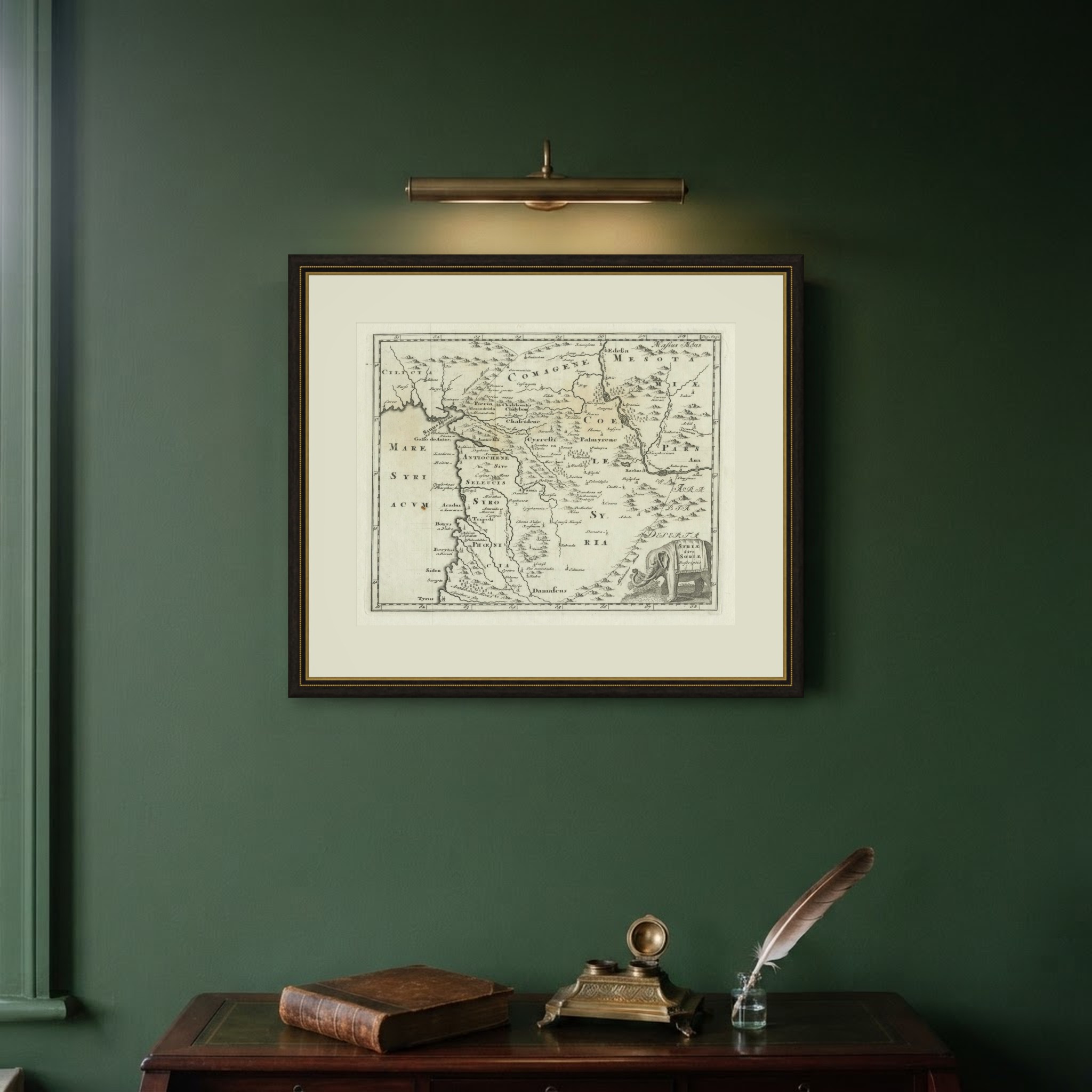
This antique map of ancient Syria, titled Syriae sive Soriae Descriptio, comes from an edition of Philipp Clüver's Introductio in universam geographiam of around 1697. It carries the page reference Pag. 623 in the upper right corner and is decorated with an elephant bearing the title on its saddle cloth.
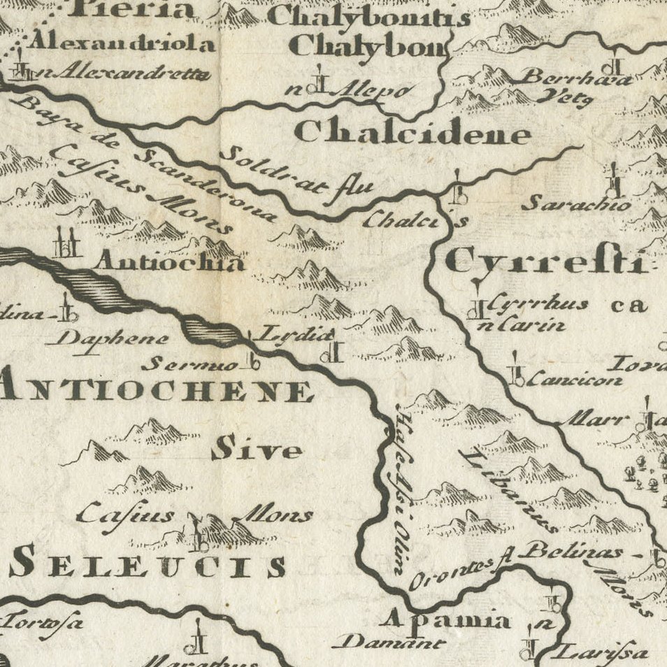
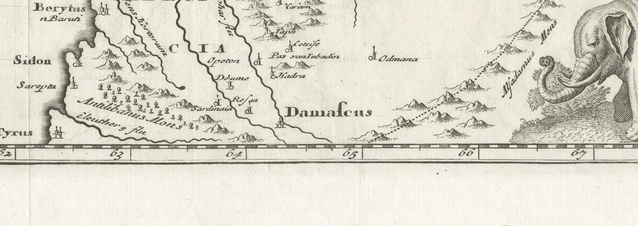
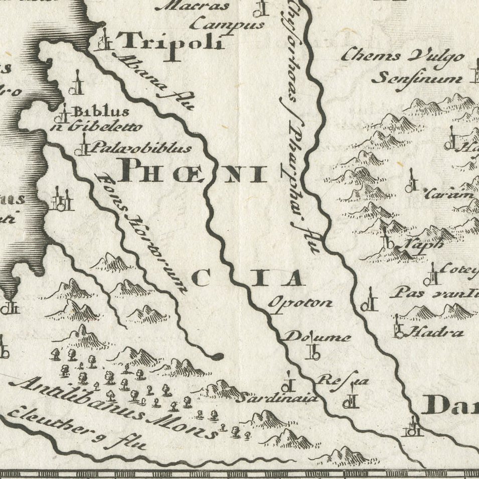
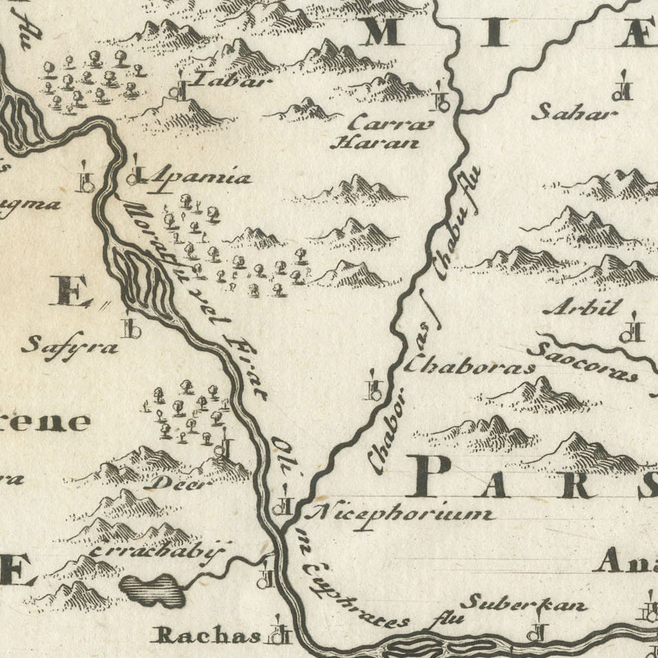
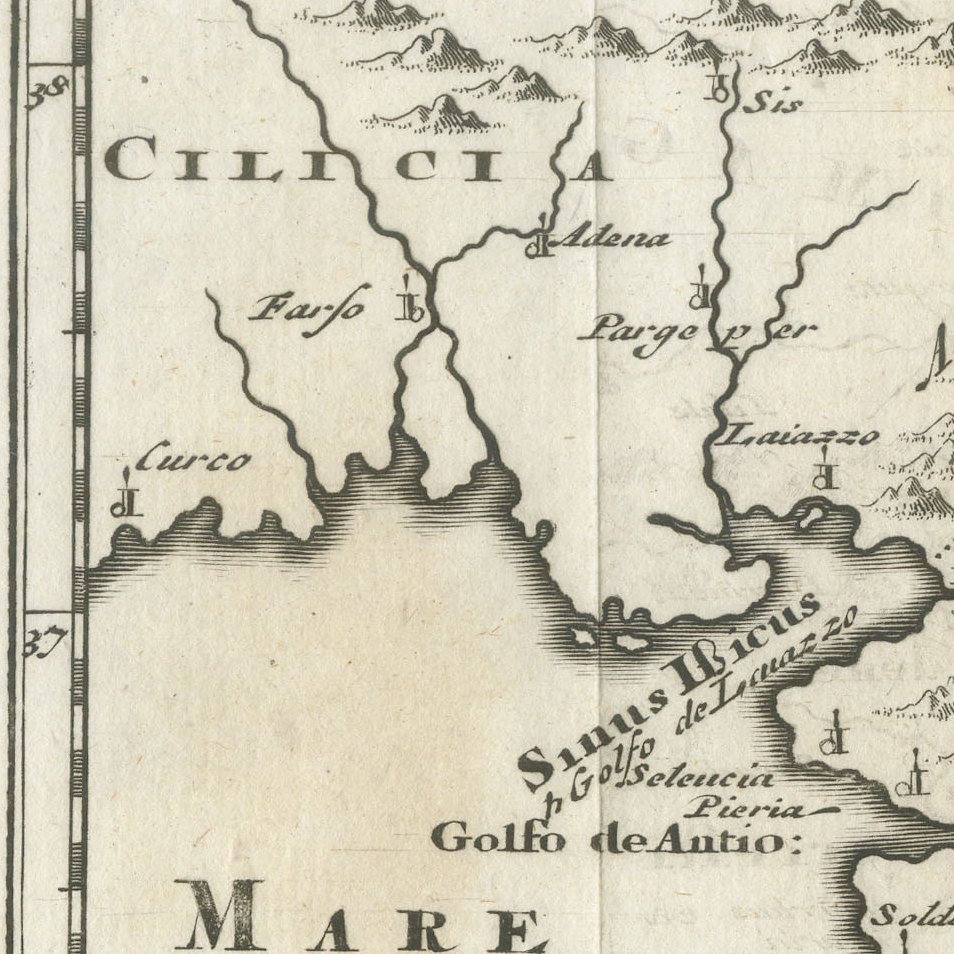
The map shows the Syrian coast from Cilicia and the Gulf of Antioch to Tyre, with Phoenicia, Seleucis, Antiochene, Coele Syria and Commagene, and extends east across the Euphrates to Edessa and Mesopotamia. Antioch, Apamea, Palmyra, Damascus, Tripoli, Byblos and Sidon are named, and many entries give both the classical and the later form, such as Aradus now Ruad, while mountains and forests are drawn pictorially.
Philipp Clüver, the founder of historical geography, wrote his Introductio in the early seventeenth century, and it was reprinted many times with small engraved maps for students of the classical world. The elephant cartouche is one of the most charming in the series and recalls the war elephants of the Seleucid kings.
This early map of Syria and Lebanon, over three hundred years old, is a lovely piece for a collector of the ancient Near East and suits a small frame in a study or library. Beyond its decorative appeal, a map of this kind records the place names, routes and political divisions known to travellers, merchants and scholars of its day, which gives it lasting value as a historical document.
The sheet is in good condition for its age, with light toning, a few small spots and faint show through of a number from the reverse in the lower margin.
This is an original antique map, not a modern reproduction. This item is sold unframed. Any framed or interior images are shown for presentation and inspiration only, unless the listing explicitly states that the item is sold framed.