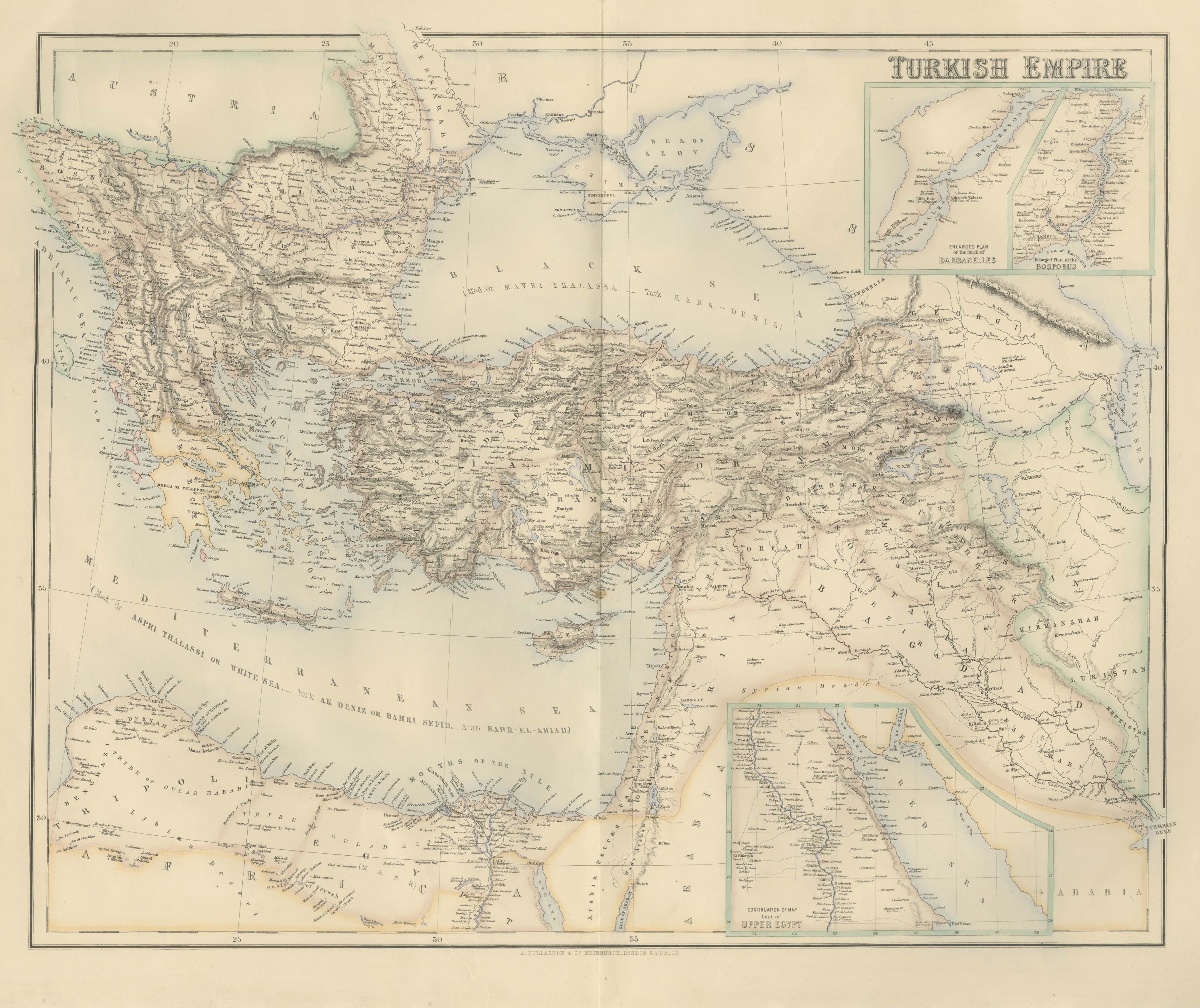
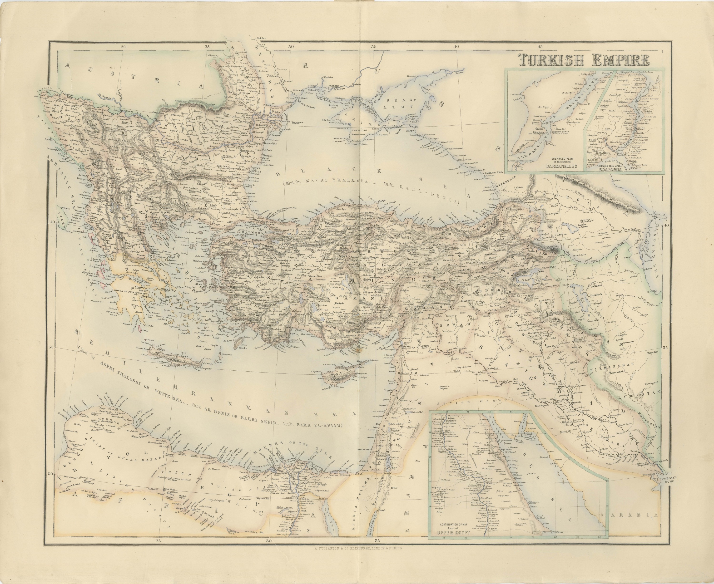
Antique Map of the Turkish Empire with the Dardanelles and Bosporus, circa 1860
€ 545
Original antique · The actual sheet photographed · Certificate of authenticity on request · Sold unframed · Worldwide shipping from € 15 (rates)
Date
circa 1860
Mapmaker / artist
Not named on the sheet
Publisher
A. Fullarton and Co.
Technique
Engraving
Coloring
Hand colored
Condition
Good
Reference
BG-14396-16
What the condition grades mean
Excellent
Bright and clean, with no faults worth mentioning.
Very good
Only light signs of age, such as faint toning.
Good
Normal signs of age for a sheet of this period: toning, some foxing, small marks or neat old repairs.
Fair
Clear faults such as staining, tears or repairs, priced to match.
Every fault we see is written in the condition note, and the whole sheet is shown uncropped in the photos.
Condition
Even age toning. Handling soiling along the left edge. Scattered light foxing in the margin. Complete sheet, all four corners present. One larger brown mark. Original center fold as issued.
About this sheet
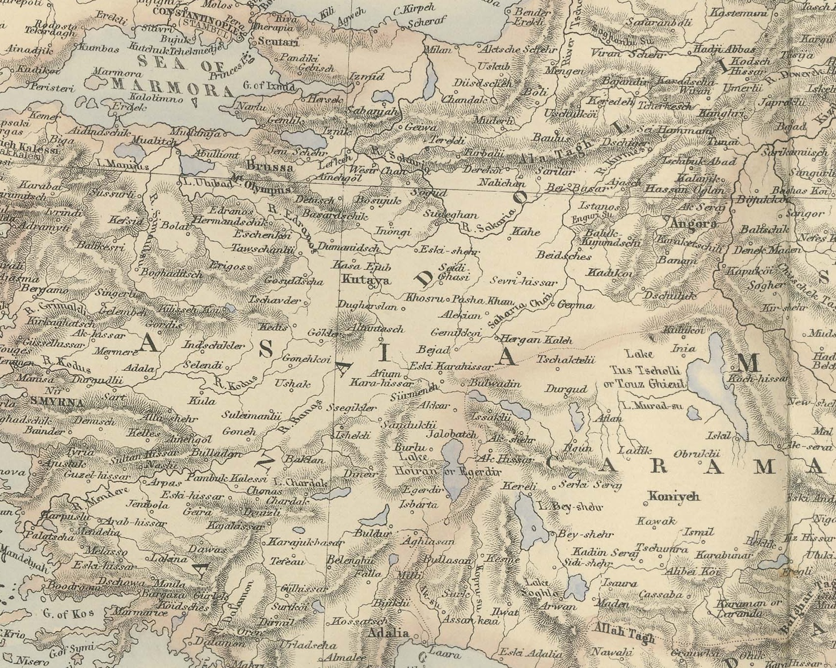
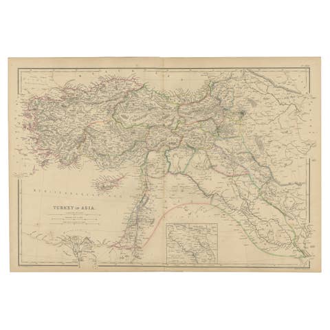
This is an original antique engraved map, colored by hand, from Fullarton's Companion Atlas to the Gazetteer of the World. The title "TURKISH EMPIRE" is engraved in the upper right. The map covers the Balkans from Bosnia, Servia and Wallachia south to Greece, the Black Sea with the Crimea, the whole of Asia Minor, Armenia and Kurdistan, Syria and Mesopotamia down to the Persian Gulf, and Egypt and the Libyan coast along the bottom. Provinces and neighboring states are distinguished in outline color, and the Ionian Islands off Greece are colored separately.
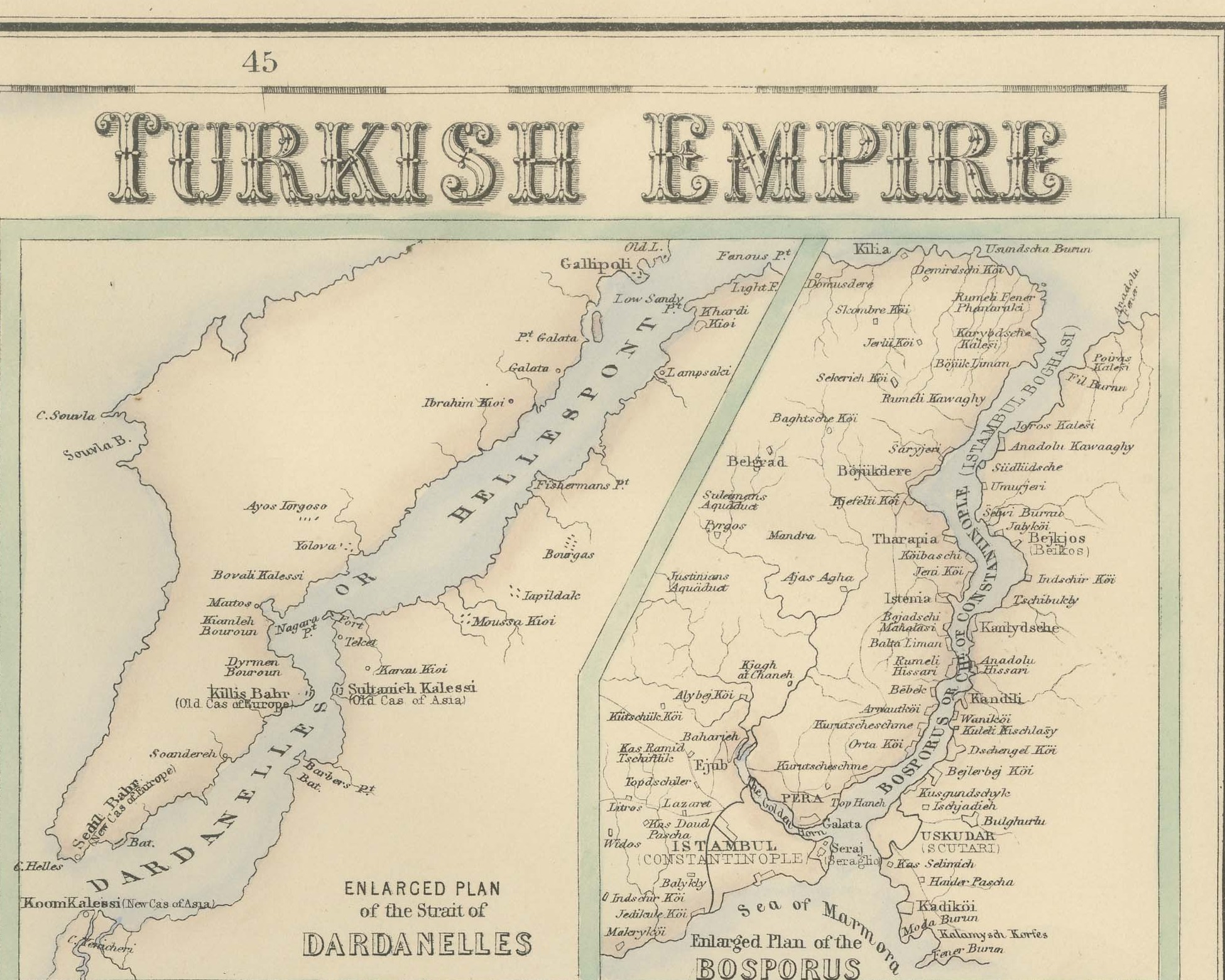
Below the title are two inset plans, "ENLARGED PLAN of the Strait of DARDANELLES" and "Enlarged Plan of the BOSPORUS". The Dardanelles plan shows Gallipoli, the old and new castles of Europe and Asia and the narrows; the Bosporus plan shows "ISTAMBUL (CONSTANTINOPLE)", Pera, Scutari and the villages along the strait. In the lower right an inset titled "CONTINUATION OF MAP Part of UPPER EGYPT" follows the Nile from Minieh to Es Souan, with the "Ruins of Thebes", and the Red Sea coast opposite. The seas carry their names in several languages: the Black Sea is also lettered "MAVRI THALASSA" and "KARA-DENIZ", and the Mediterranean "ASPRI THALASSI OR WHITE SEA", "AK DENIZ OR BAHRI SEFID" and "BAHR-EL-ABIAD".
No compiler or engraver is named on this sheet: the title has no credit, and there is no engraver's line below the lower right corner of the border. The imprint below the center of the border reads "A. FULLARTON & Co. EDINBURGH, LONDON & DUBLIN".
The Companion Atlas to the Gazetteer of the World was published by A. Fullarton and Co. of London, Edinburgh and Dublin and issued to subscribers in parts. The original printed wrapper of Part 7 survives with these maps; it bills forty-three maps, names G. H. Swanston as engraver, and is marked "Colored Copy". The Crimean War, fought in part on the Crimea lettered at the top of this sheet, ended with the Treaty of Paris in 1856.
Condition: Even age toning. Handling soiling along the left edge. Scattered light foxing in the margin. Complete sheet, all four corners present. One larger brown mark. Original center fold as issued.
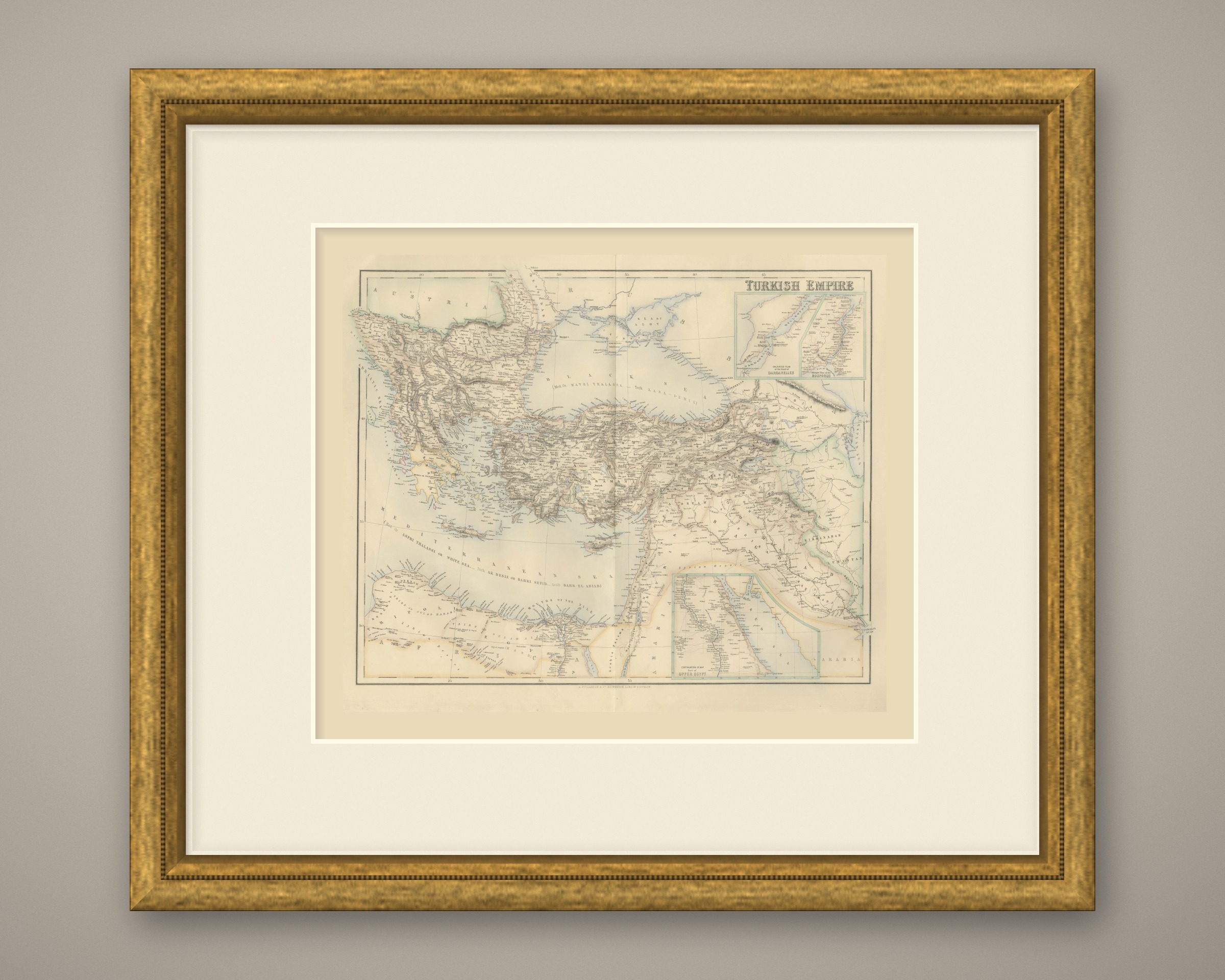
This is an original antique map, not a modern reproduction. This item is sold unframed. Any framed or interior images are shown for presentation and inspiration only, unless the listing explicitly states that the item is sold framed.