About this sheet
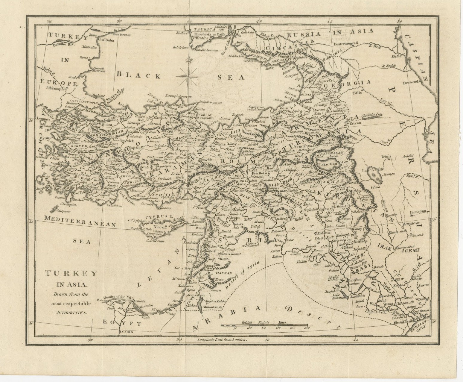
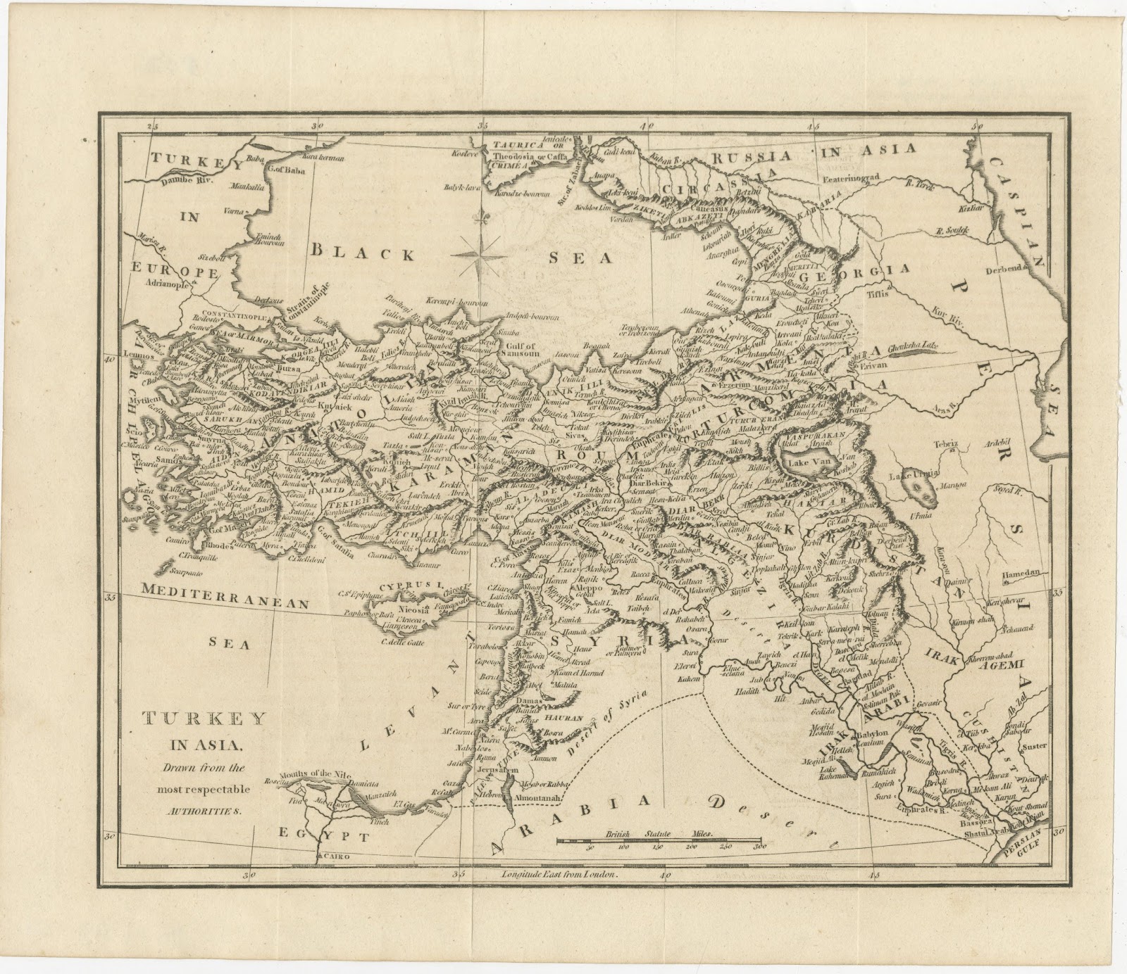
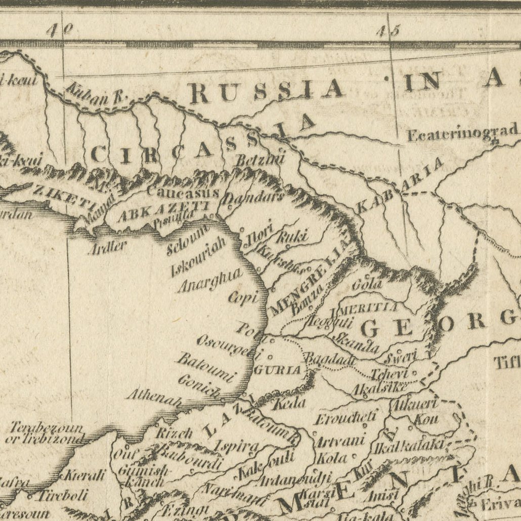
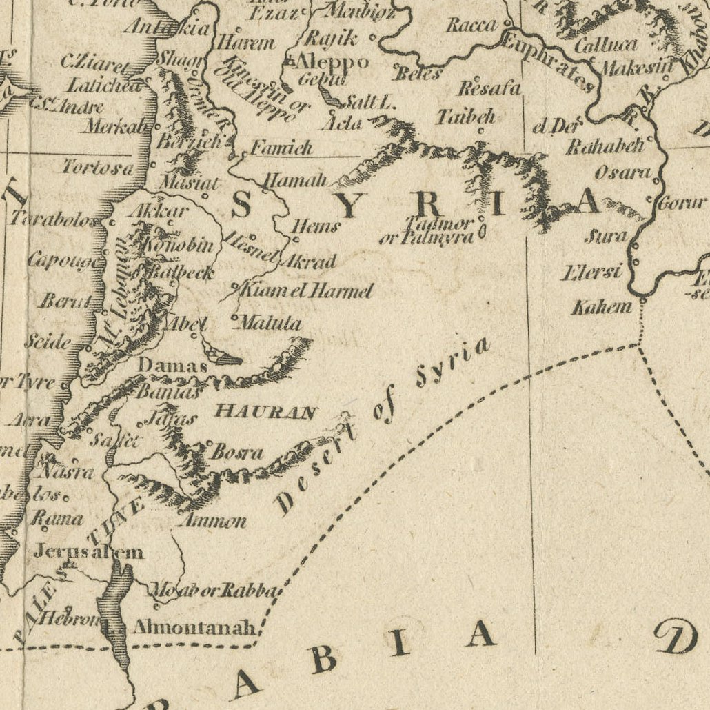
This antique map titled Turkey in Asia, Drawn from the most respectable Authorities, was published in London in the 1790s. A map with the same title is recorded in Robert Wilkinson's General Atlas of 1794, engraved by Thomas Conder, and this sheet is believed to belong to that group, although no imprint appears on it.
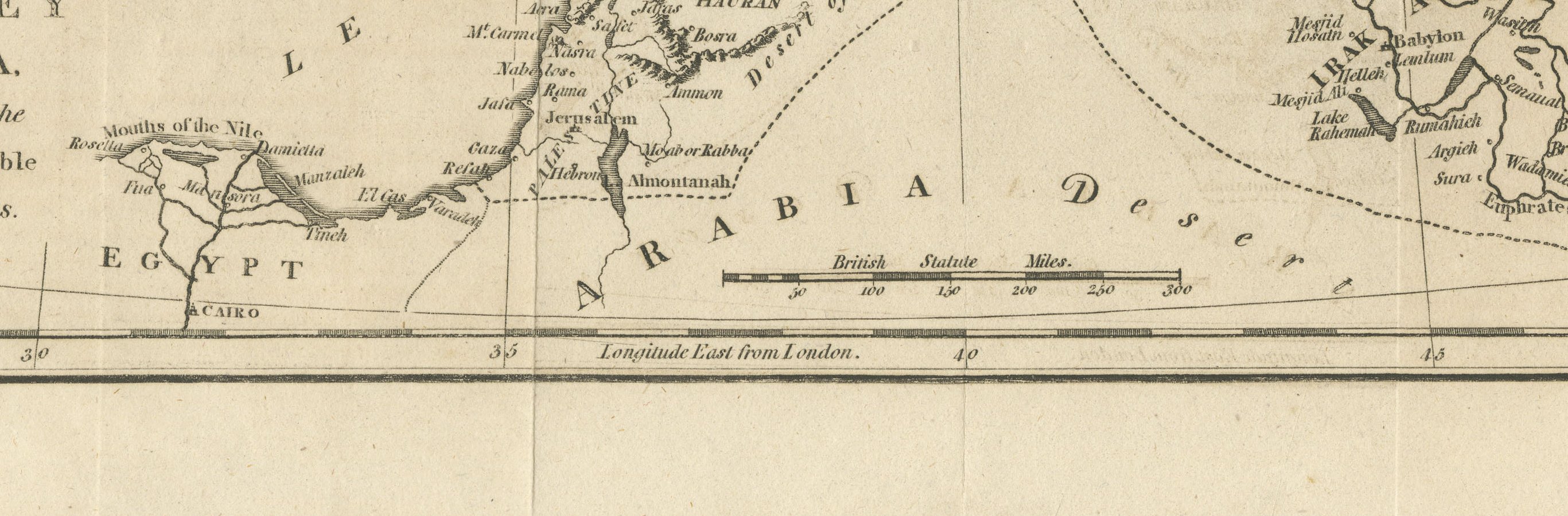
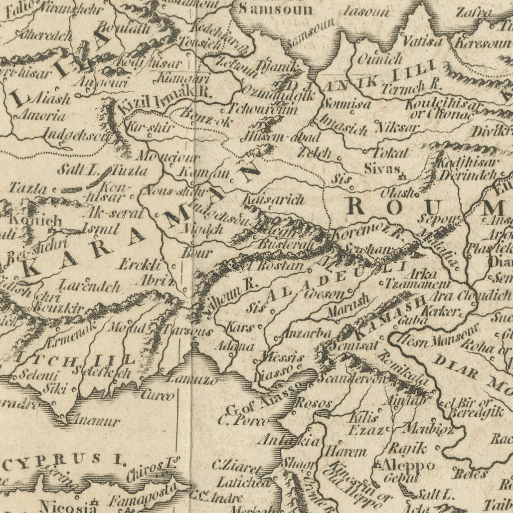
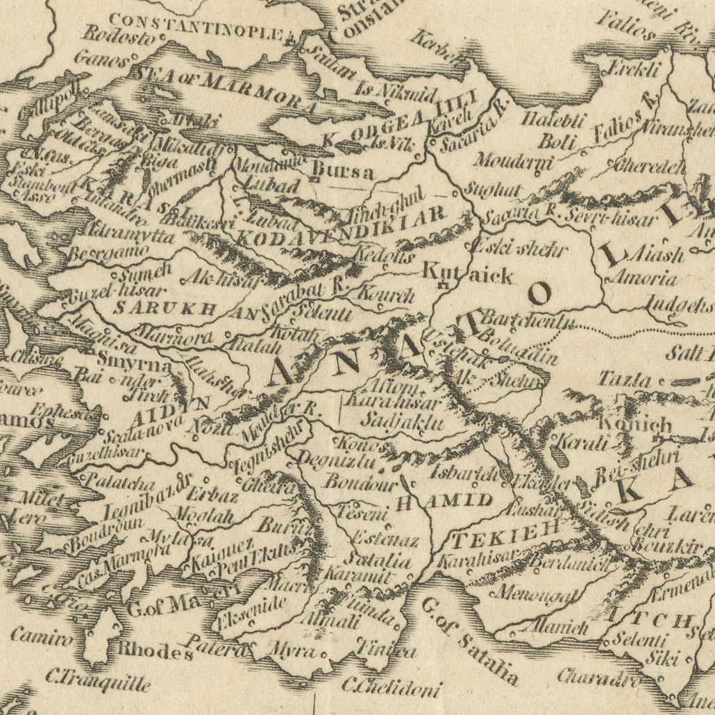
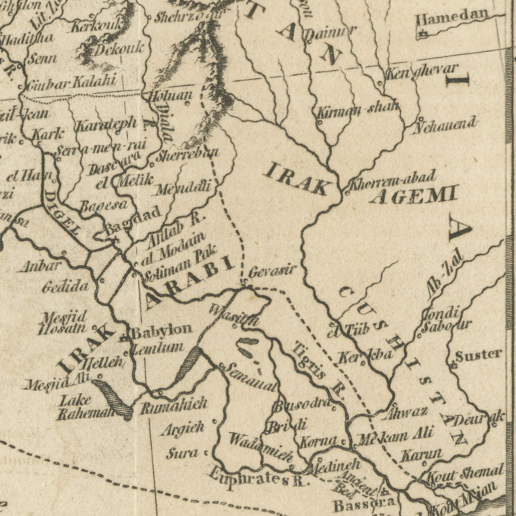
The map covers the whole of Ottoman Asia from Constantinople and the Black Sea to the Caspian, including Natolia, Caramania, Roum, Armenia, Georgia, Kurdistan, Diarbek, Syria and Irak Arabi down to Bassora and the Persian Gulf. Cyprus, Jerusalem, Damascus, Aleppo, Mosul and Baghdad are named, a compass rose sits in the Black Sea, and a scale of British Statute Miles appears at the foot. The sheet has old folds from binding in a book.
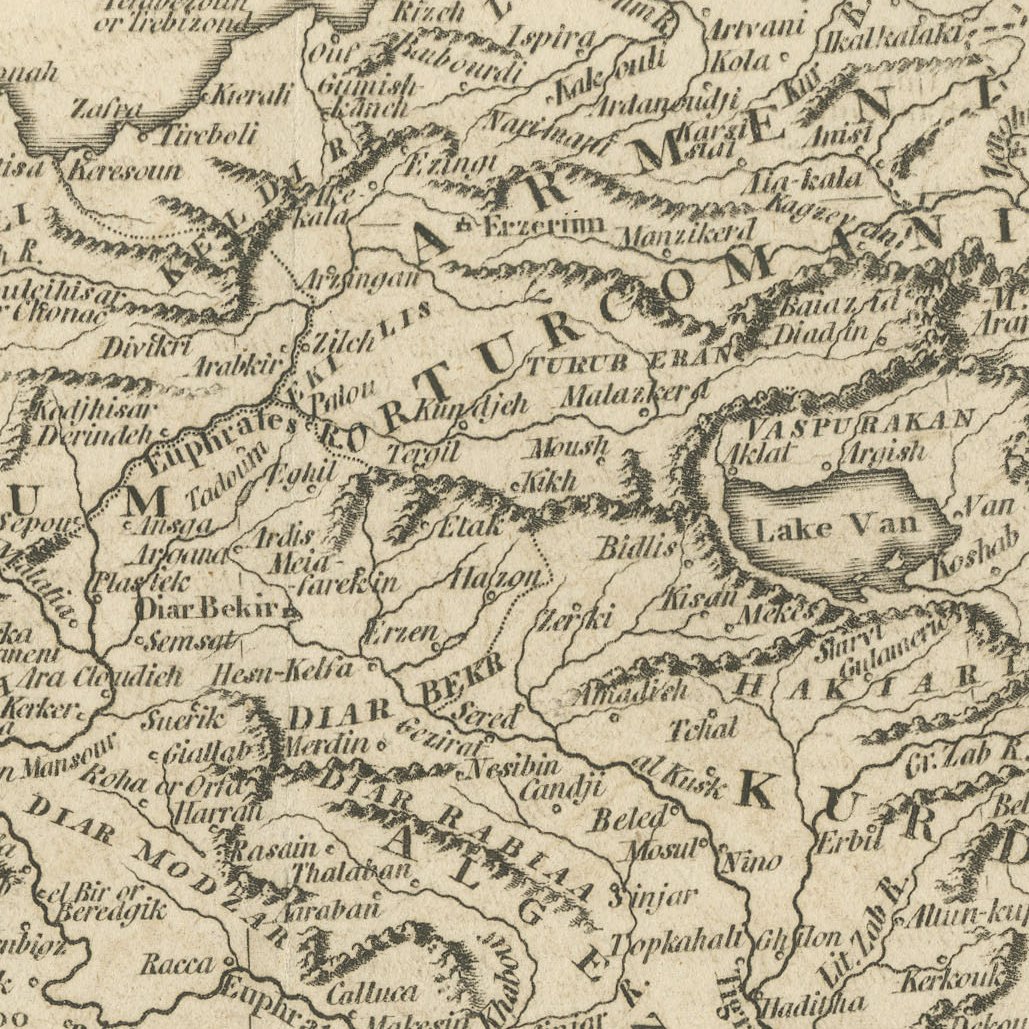
Maps of this kind were prepared for the English reading public at a time of growing interest in the Ottoman Empire, following the Russo Turkish wars and on the eve of Bonaparte's expedition to Egypt and Syria. The engraving is clear and uncluttered, with mountain ranges drawn in profile.
It is a handsome eighteenth century English map of Turkey, Syria and Iraq that frames well and suits a collector of the Ottoman world. Beyond its decorative appeal, a map of this kind records the place names, routes and political divisions known to travellers, merchants and scholars of its day, which gives it lasting value as a historical document.
The sheet is in good condition for its age, with a vertical centre fold, light toning and a small stain in the lower margin; the image is clean.
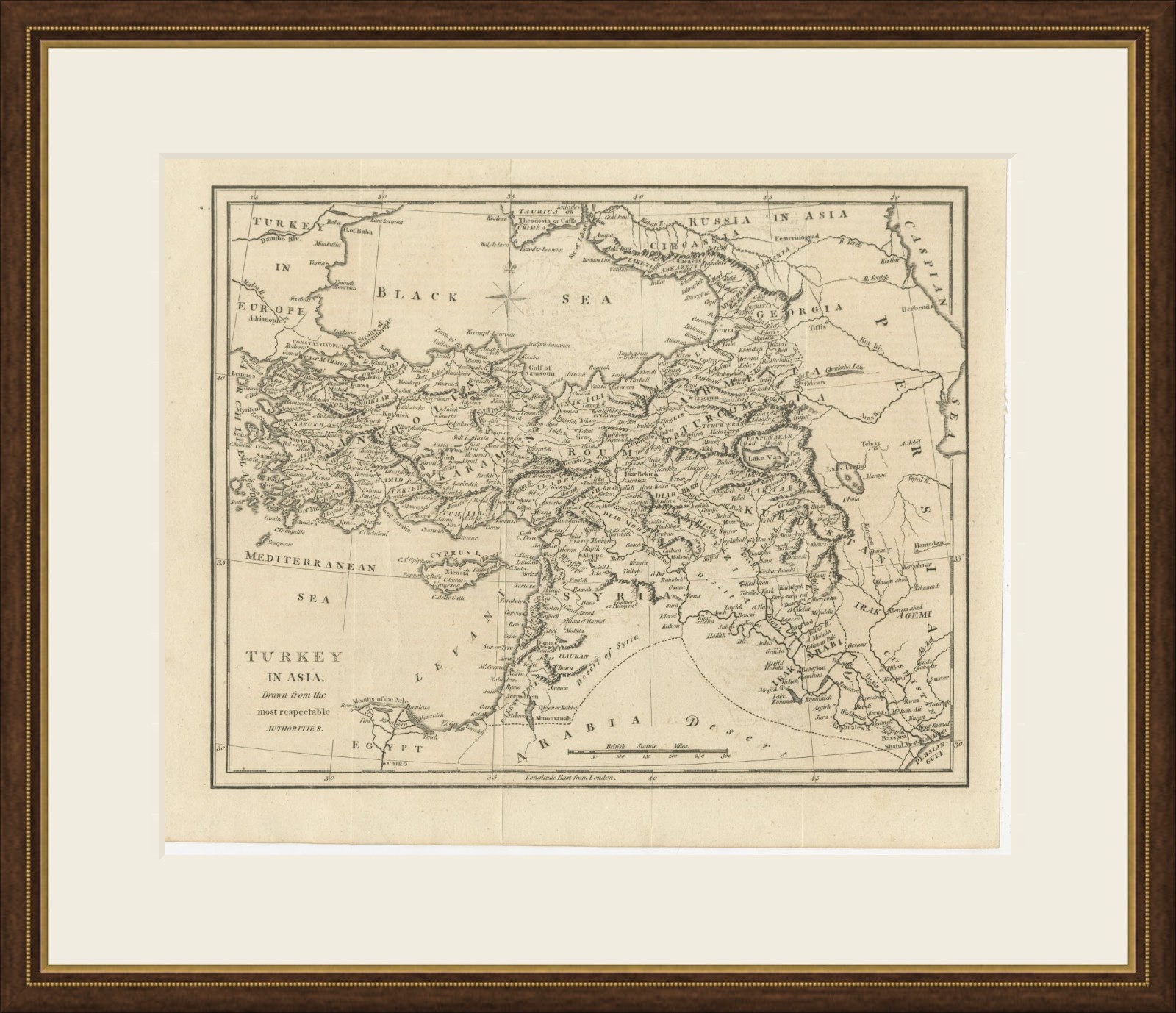
This is an original antique map, not a modern reproduction. This item is sold unframed. Any framed or interior images are shown for presentation and inspiration only, unless the listing explicitly states that the item is sold framed.