About this sheet
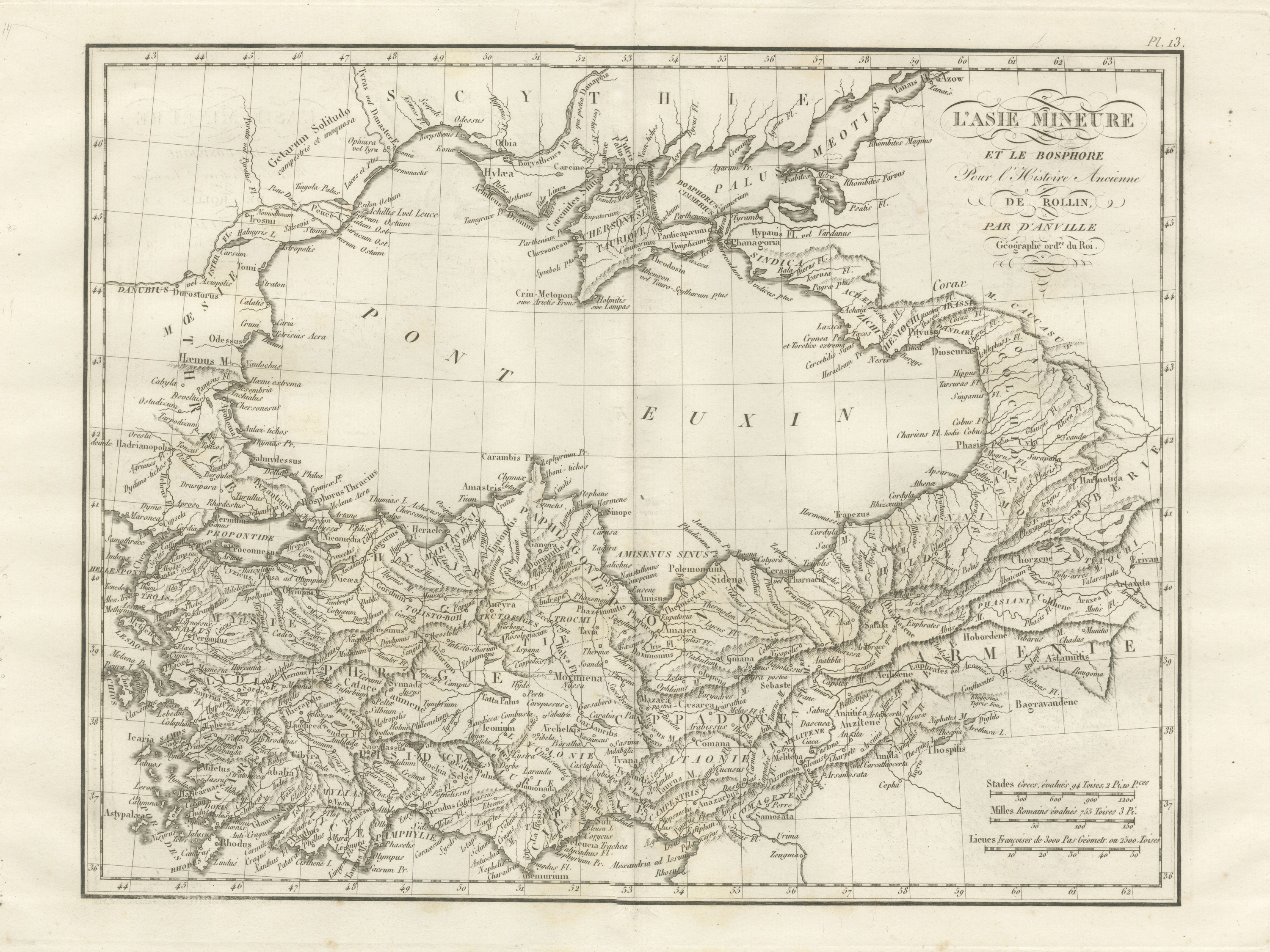
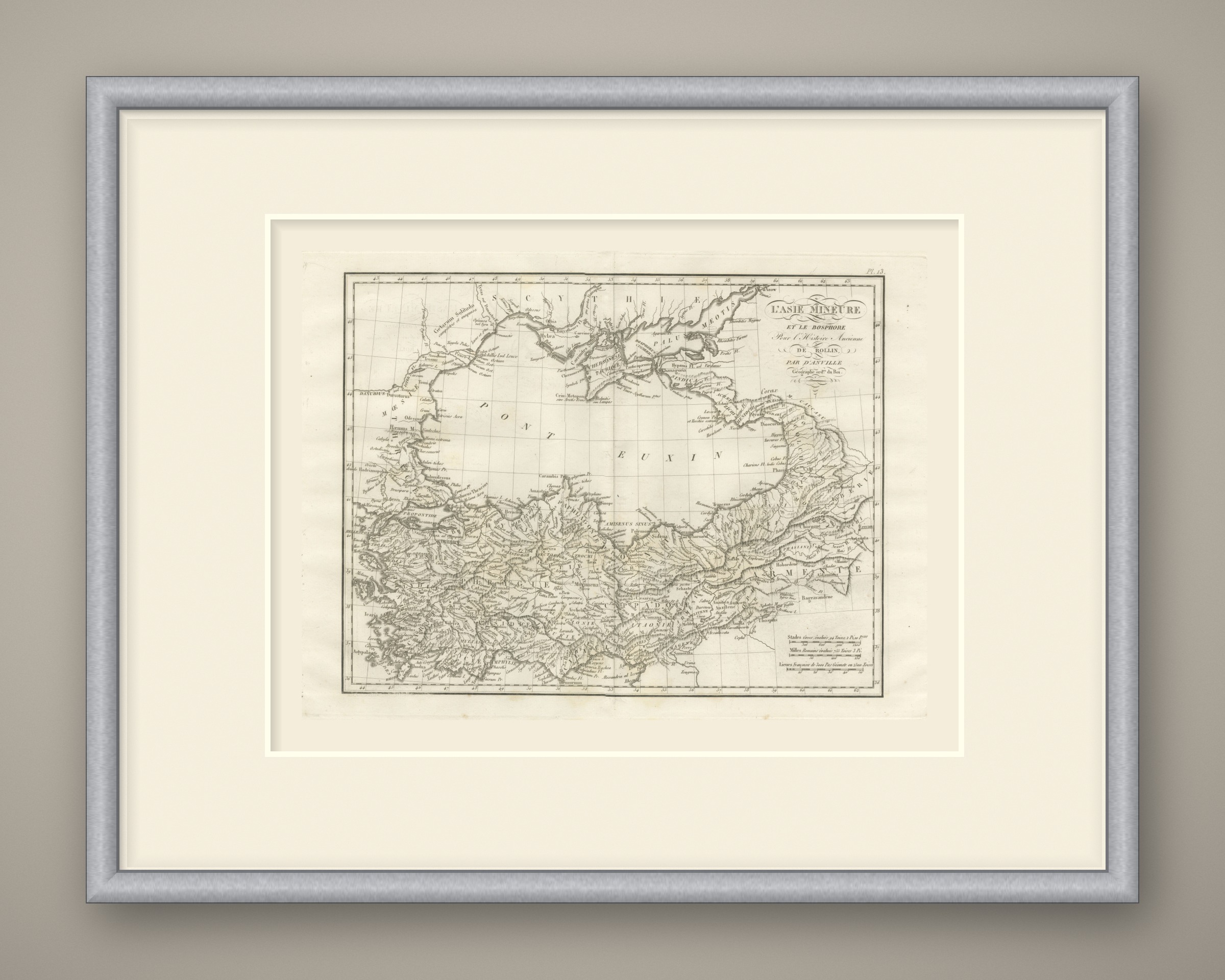
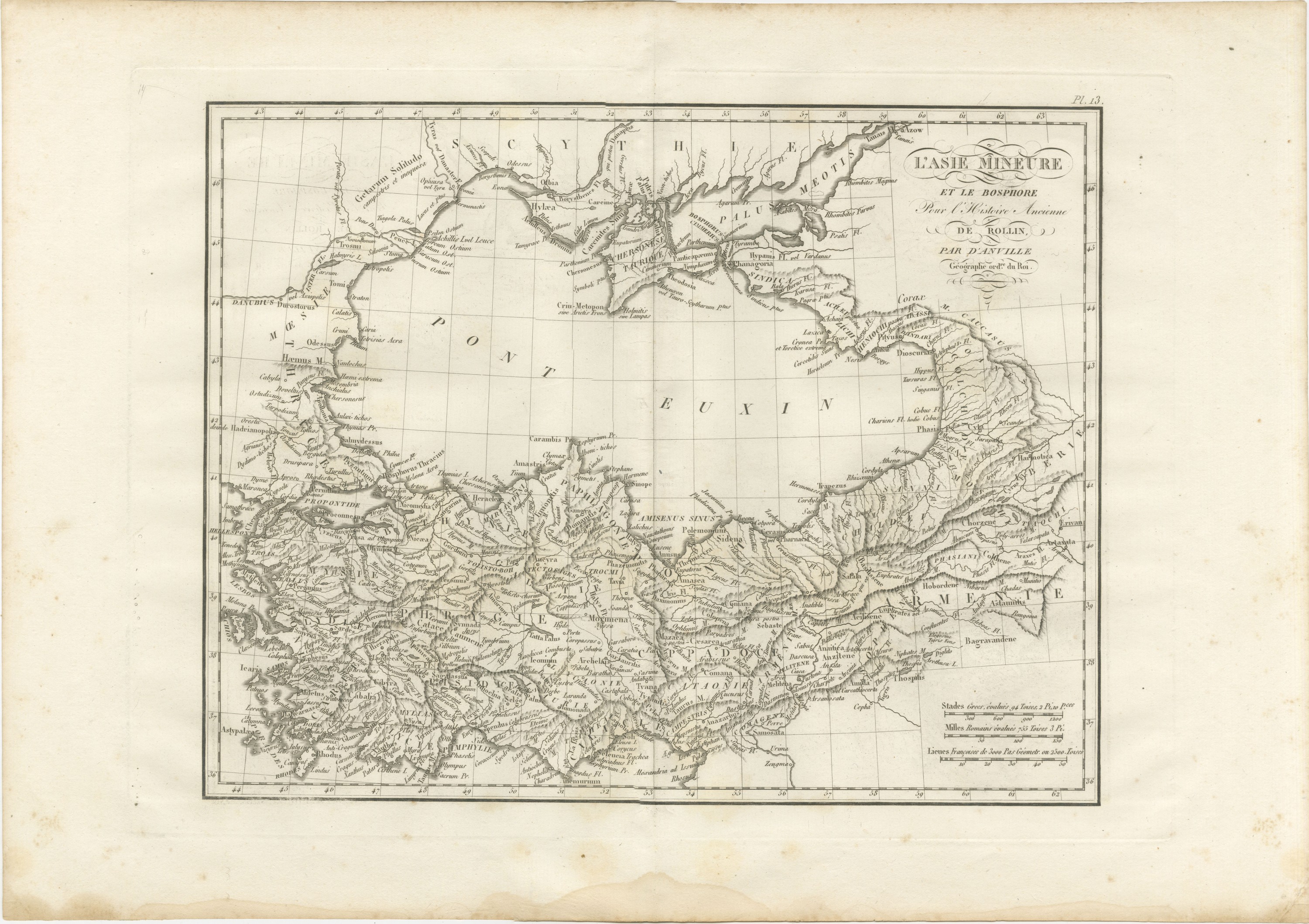
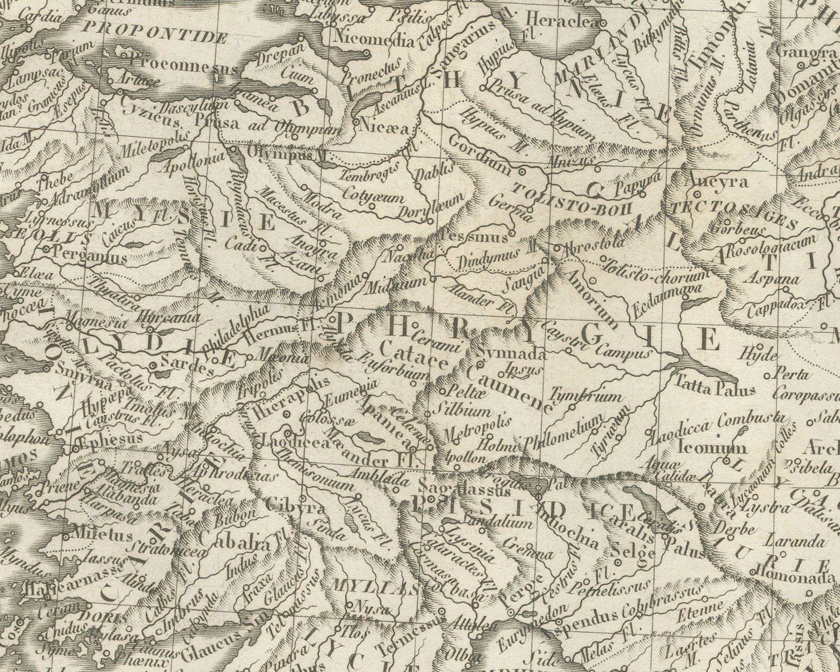
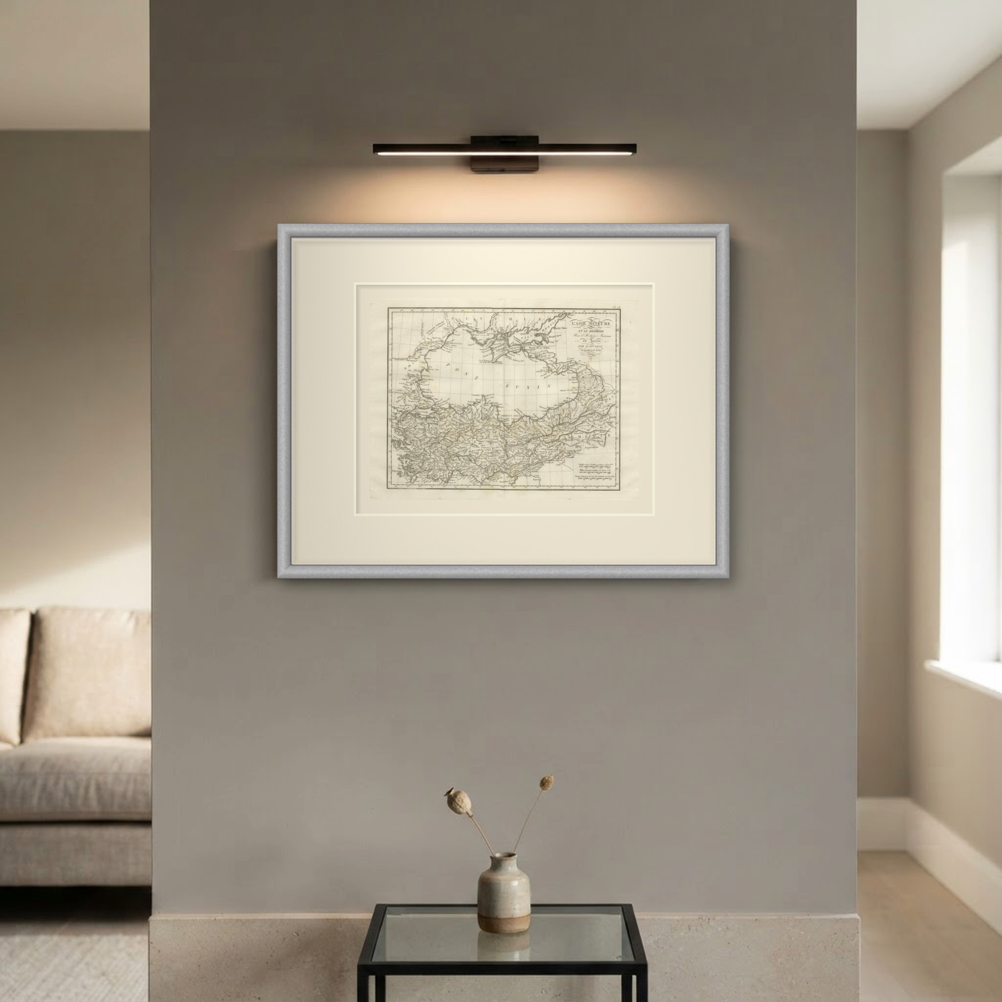
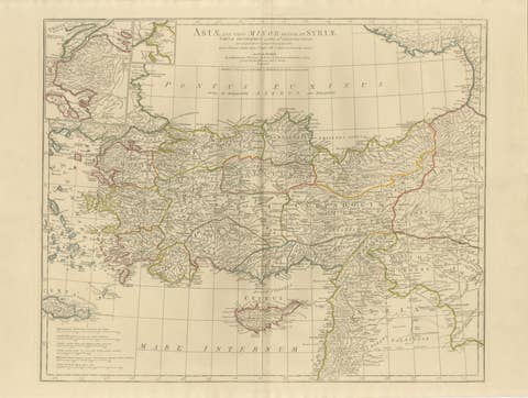
An original copper engraved map, uncolored, of Asia Minor and the shores of the Black Sea. The Pont Euxin fills the center, with Scythia, the Palus Maeotis and the Crimea above it and Colchis and the Caucasus at the eastern end. The Crimean peninsula carries Chersonesus, Theodosia and Panticapaeum on the Bosphorus Cimmerius, with Phanagoria on the opposite shore and Azow at the mouth of the Tanais. Below the sea Anatolia is divided into Bithynia, Paphlagonia, Pontus, Galatia, Phrygia, Mysia, Lydia, Caria, Lycia, Pamphylia, Cilicia and Cappadocia, with Byzantium, Nicaea, Sinope, Trapezus, Ancyra, Pergamus, Smyrna and Ephesus placed among them. Armenia runs east to Artaxata, and the coast of Thrace and the Hellespont closes the west.
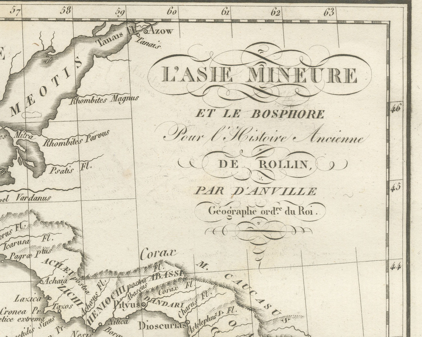
The cartouche at upper right reads L'Asie Mineure et le Bosphore pour l'Histoire Ancienne de Rollin, par d'Anville, Géographe ord.re du Roi. The plate is numbered Pl. 13 above the upper right corner of the border. Three scale bars stand at lower right: Stades Grecs, évalués 94 Toises, 2 Pi. 10 P.ces, Milles Romains évalués 755 Toises 3 Pi. and Lieues Françoises de 3000 Pas Géometr. ou 2500 Toises. A light center fold runs through the double sheet.
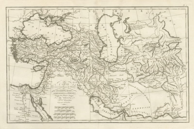
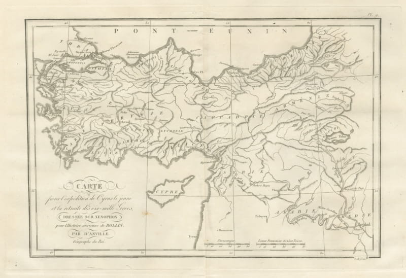
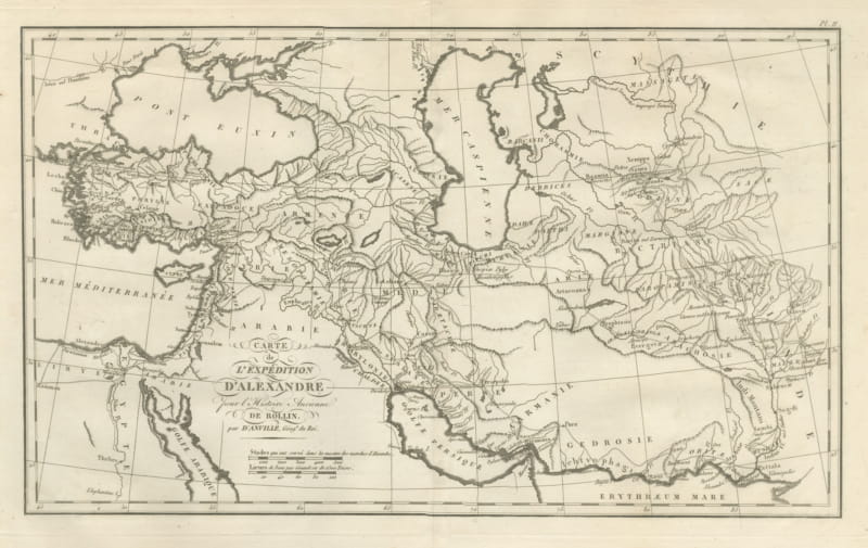
The plate comes from the Atlas de Géographie Ancienne, published in Paris in 1818 by Ledoux et Tenré and printed by Didot le jeune to accompany the works of Charles Rollin (1661 to 1741), the French historian, author of the Histoire ancienne and the Histoire romaine. Its maps are engraved after the originals of Jean-Baptiste Bourguignon d'Anville (1697 to 1782). In the foreword, signed by Ambroise Tardieu, géographe-graveur, Tardieu writes that the maps were copied with religious fidelity and that, charged with reviewing the proofs, he corrected only negligences and faults of execution. The map serves Rollin's ancient history for the kingdoms of Asia Minor and the Greek cities of the Black Sea and the Bosporus.
Condition: Light uneven toning, browner toward the edges. Marked handling soiling along all four edges. Foxing over much of the margin. Complete sheet, all four corners present. Several larger brown marks. A pale brown tide line runs along the lower margin.
This is an original antique map, not a modern reproduction. This item is sold unframed. Any framed or interior images are shown for presentation and inspiration only, unless the listing explicitly states that the item is sold framed.