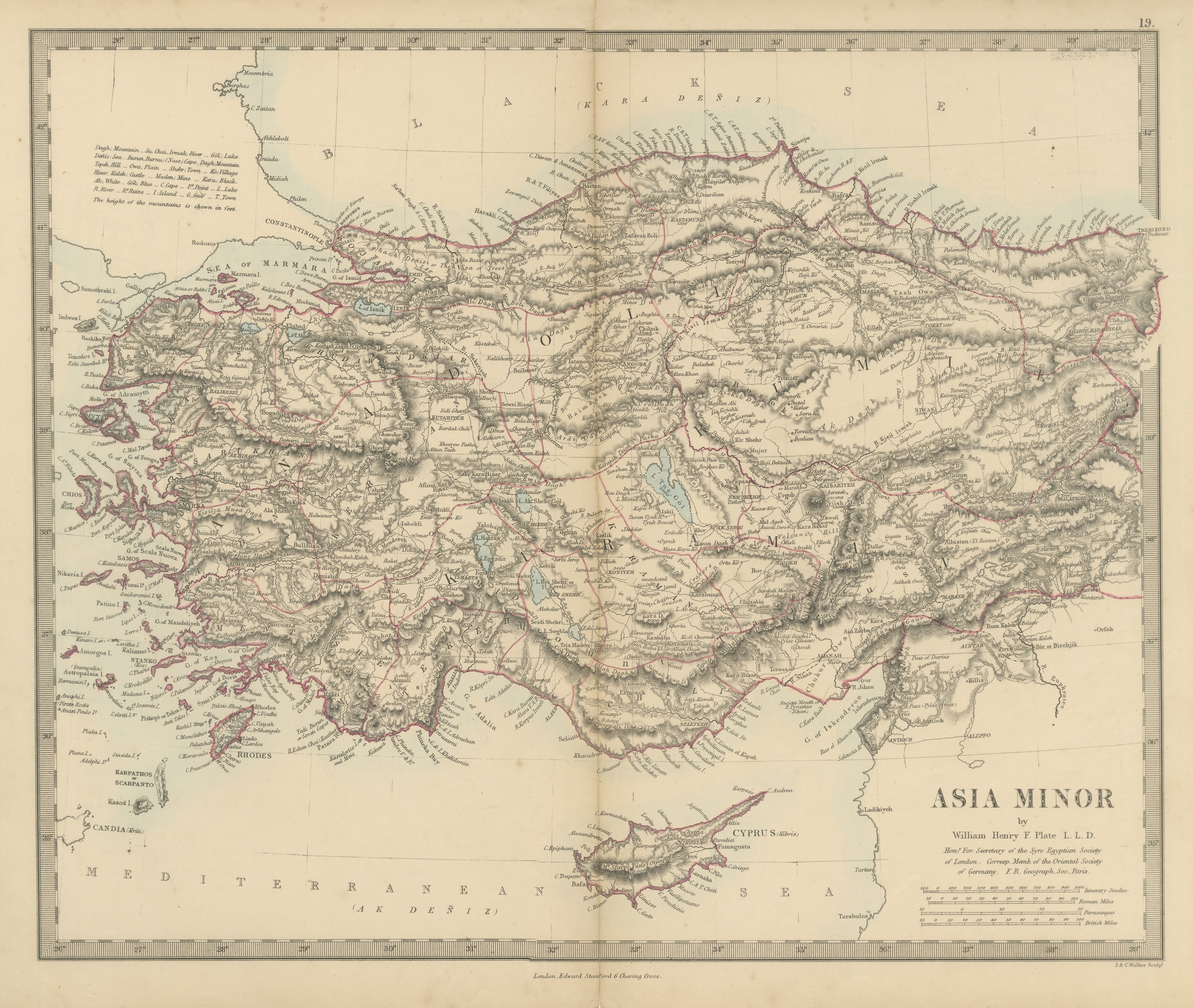
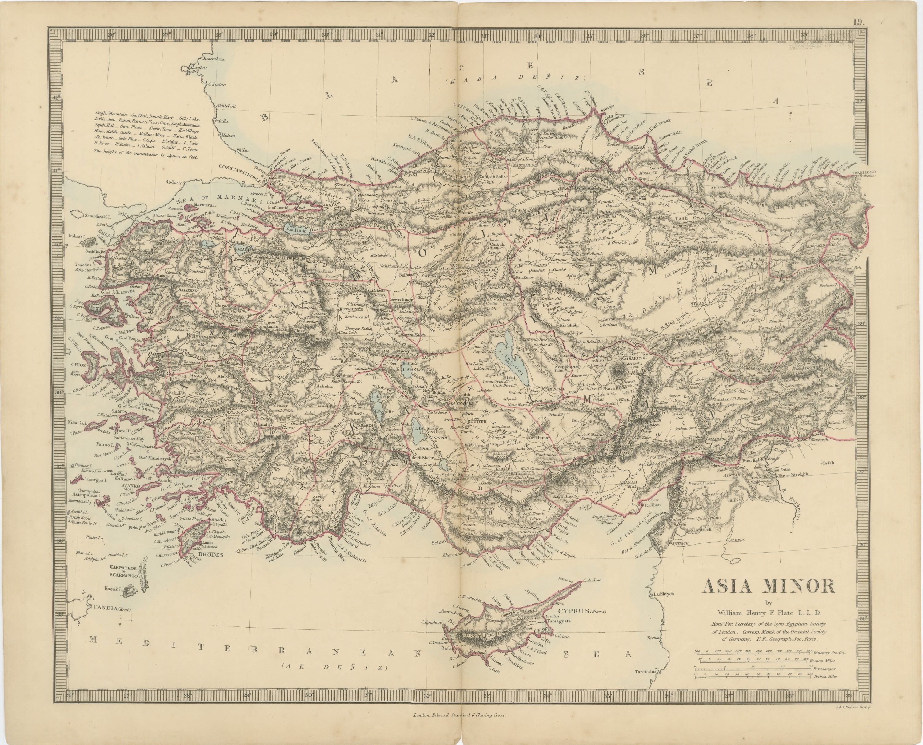
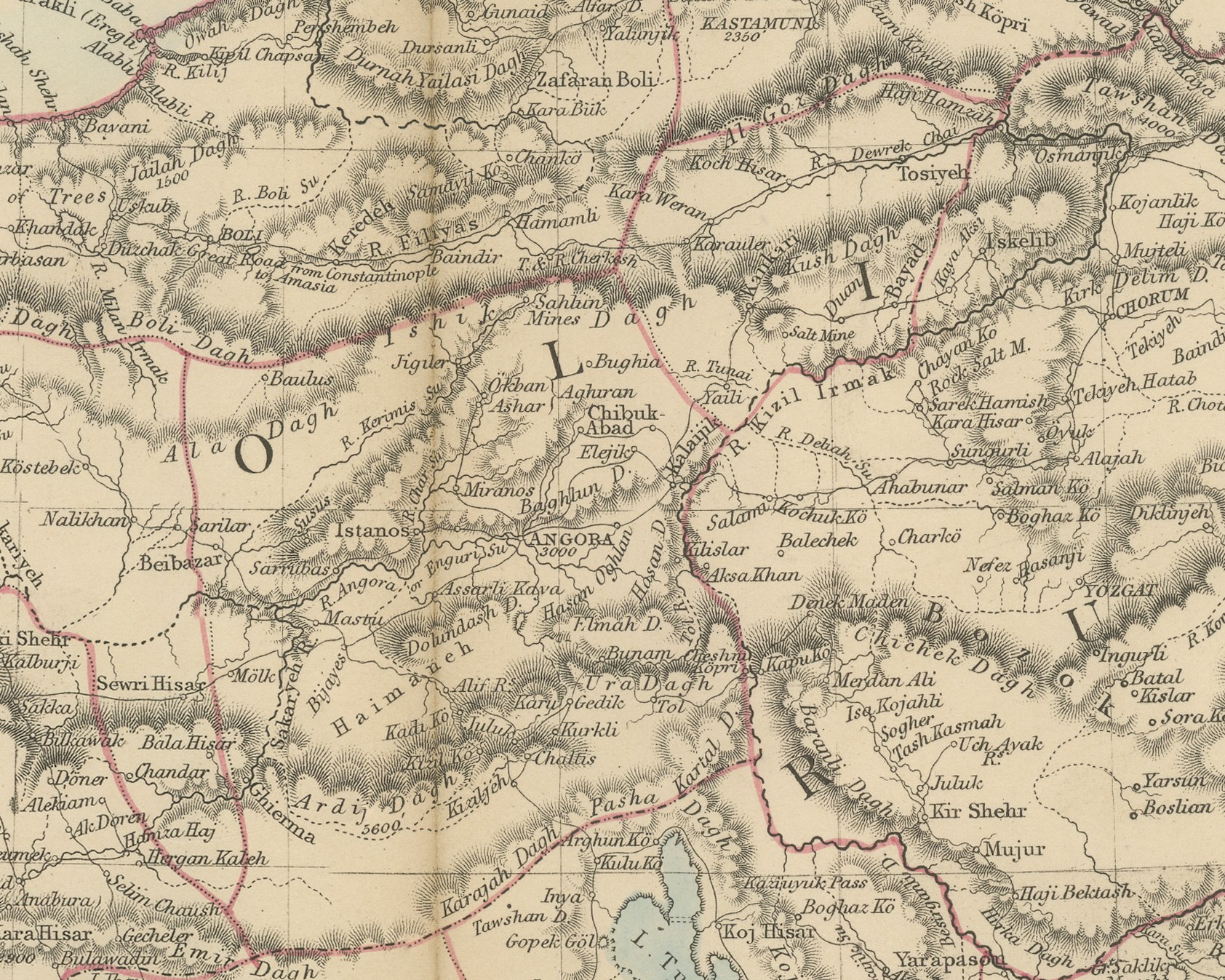
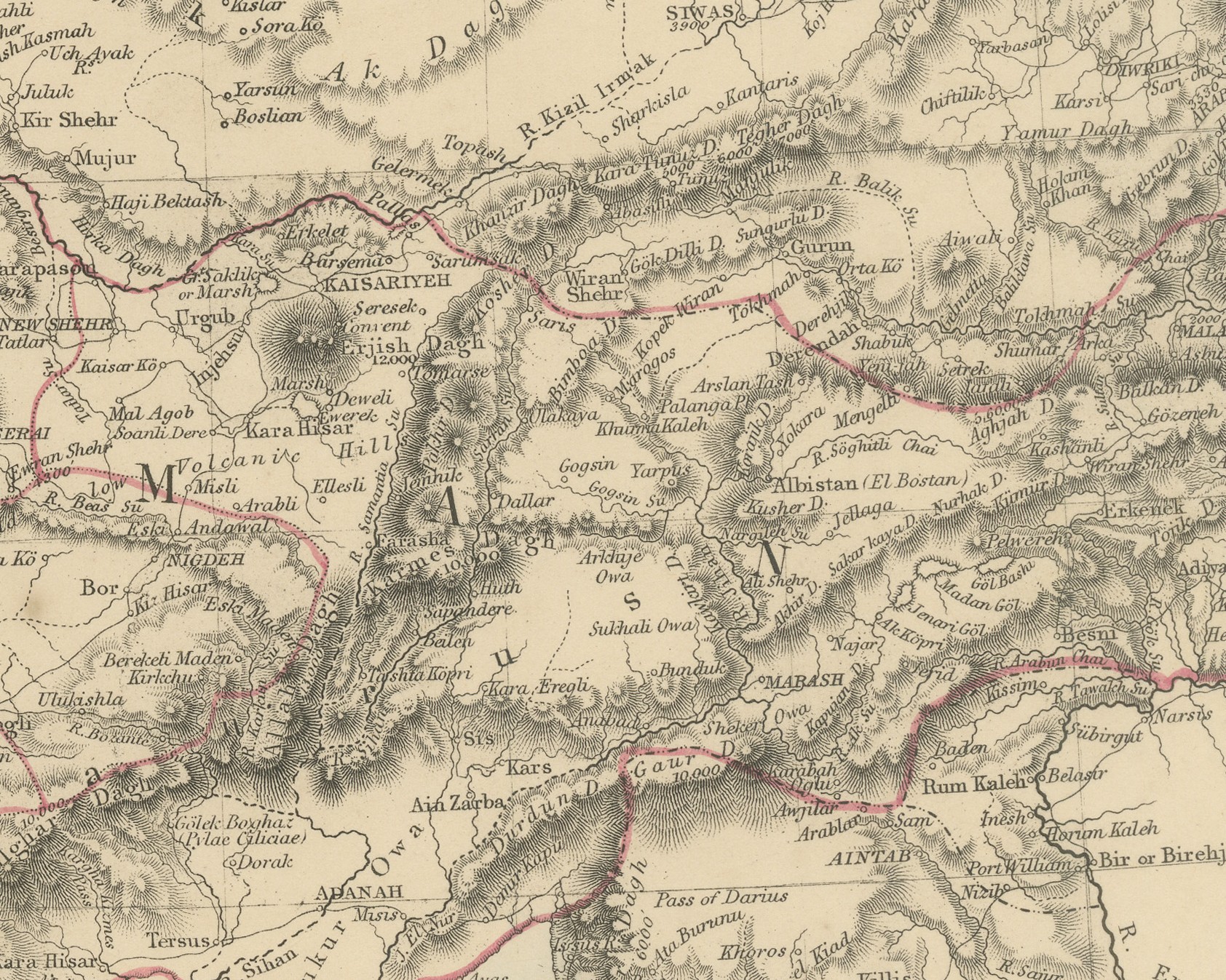
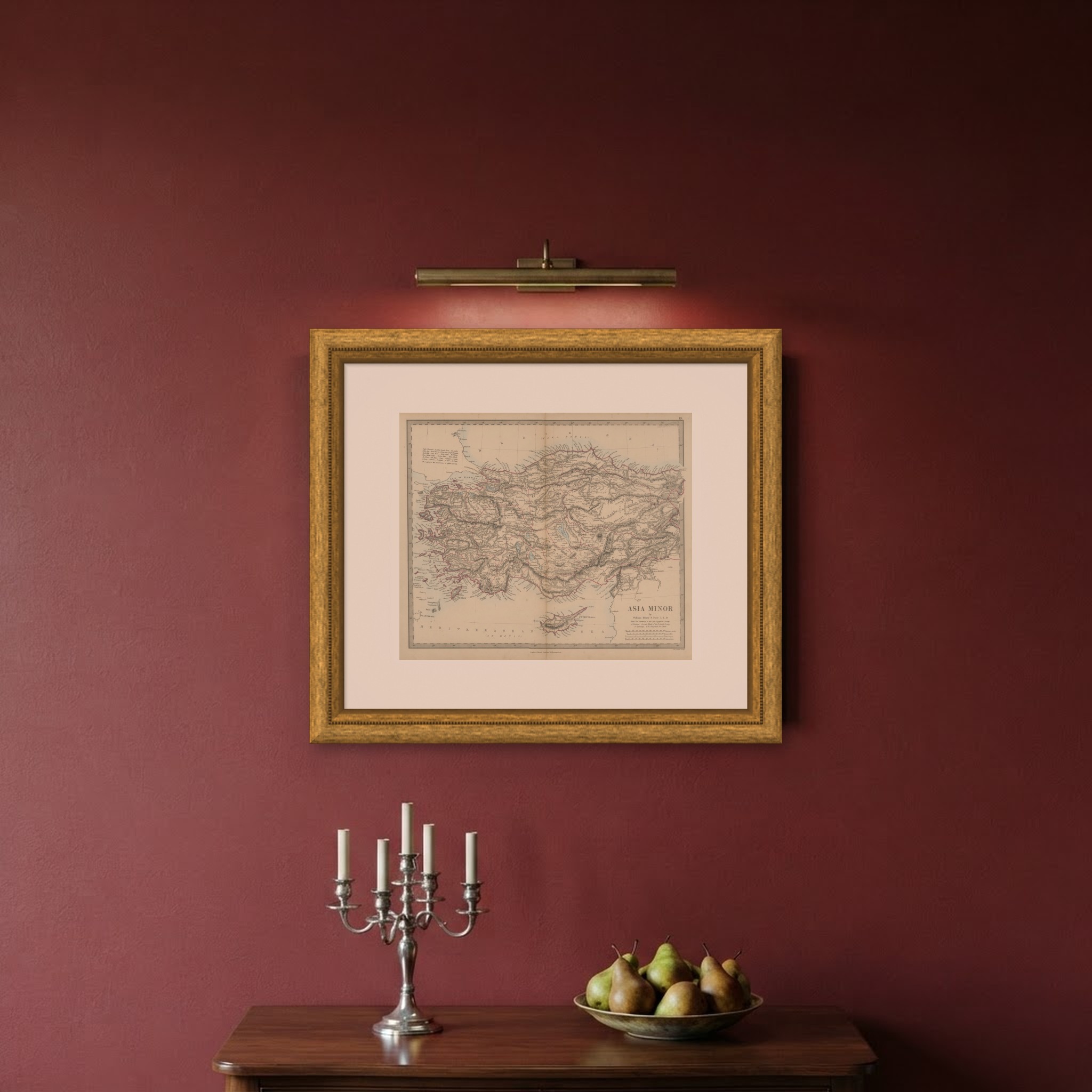
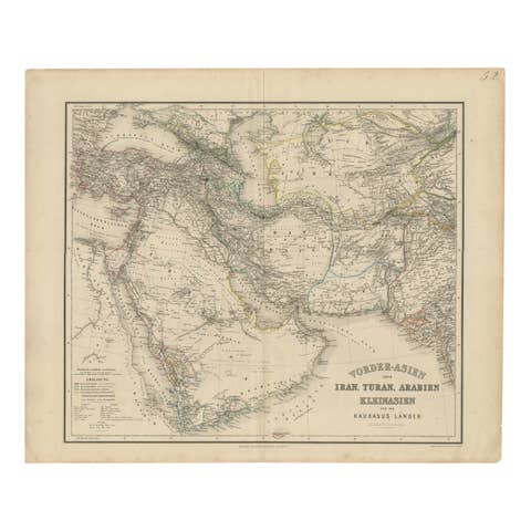
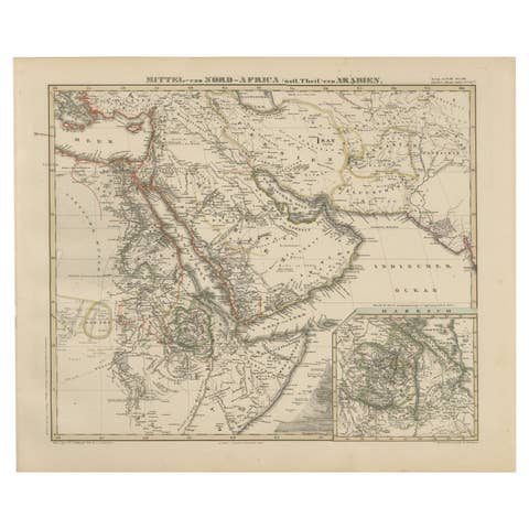
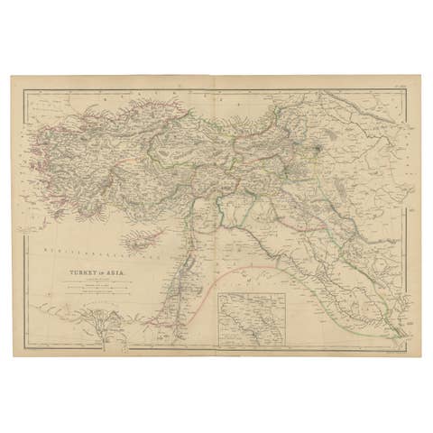
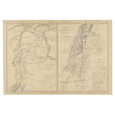
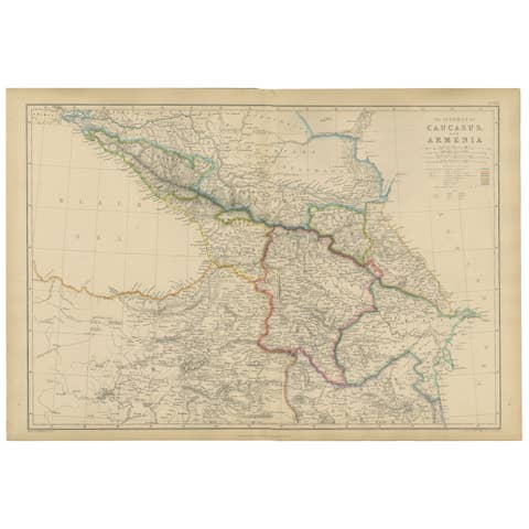
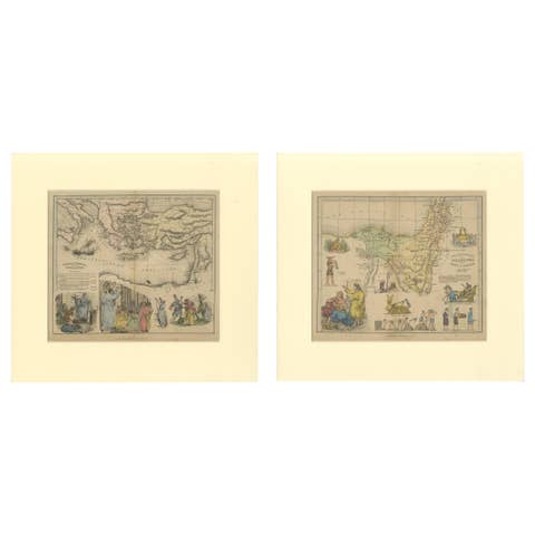
Antique Map of Asia Minor and Cyprus by William Henry F. Plate, 1858
€ 210
Original antique · The actual sheet photographed · Certificate of authenticity on request · Sold unframed · Worldwide shipping from € 15 (rates)
Date
1858
Mapmaker / artist
Society for the Diffusion of Useful Knowledge; by William Henry F. Plate; engraved by J. & C. Walker
Publisher
Edward Stanford, London
Technique
Steel engraving
Coloring
Hand colored
Condition
Good
Reference
BG-14227-1-19
What the condition grades mean
Excellent
Bright and clean, with no faults worth mentioning.
Very good
Only light signs of age, such as faint toning.
Good
Normal signs of age for a sheet of this period: toning, some foxing, small marks or neat old repairs.
Fair
Clear faults such as staining, tears or repairs, priced to match.
Every fault we see is written in the condition note, and the whole sheet is shown uncropped in the photos.
Condition
Complete sheet with minor nicks along the left edge and a small V-shaped notch to the bottom edge at the center fold. A center fold, as issued. Even age toning. A few small foxing spots in the margin. A few small light flecks in the printed area.
About this sheet
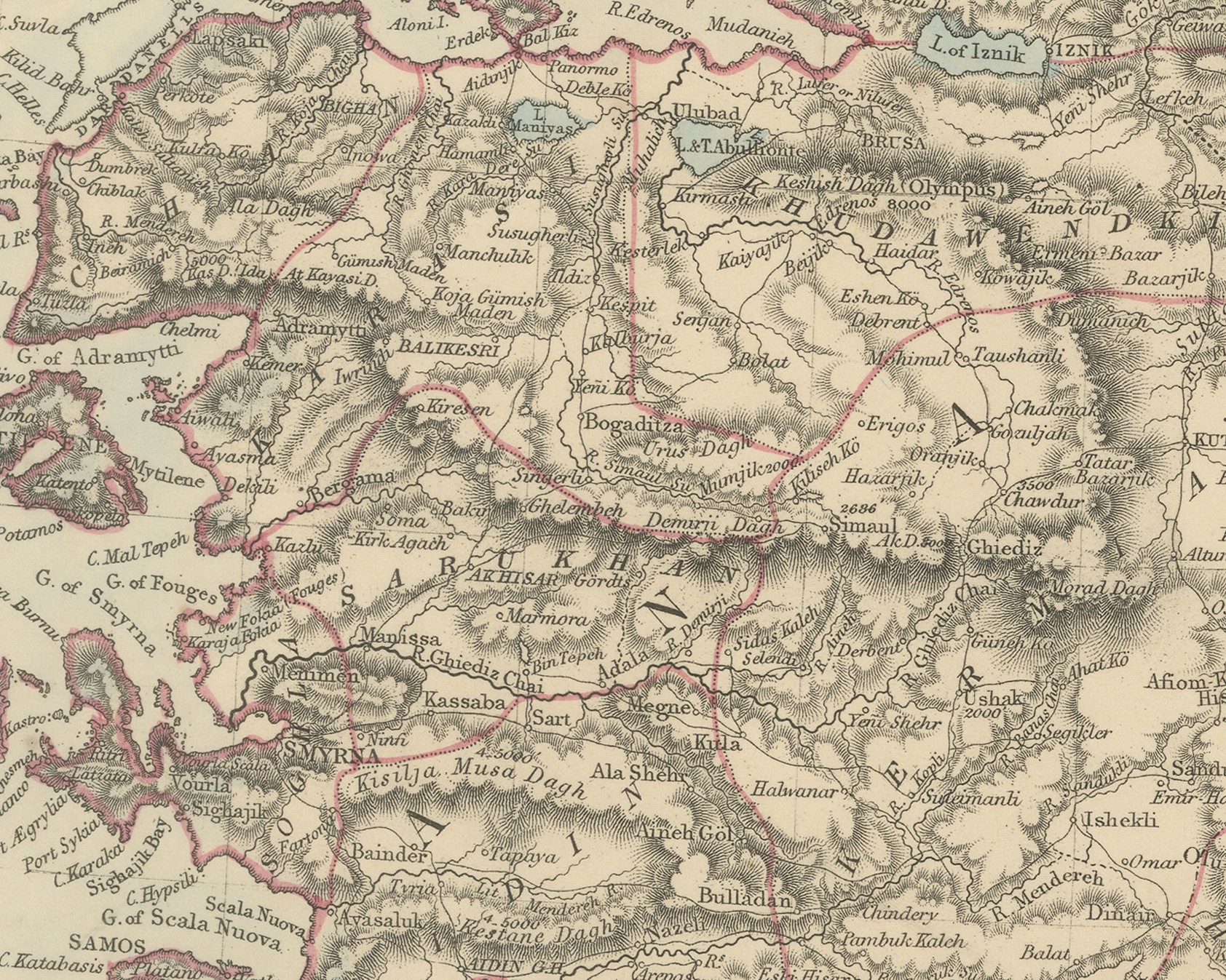
An original antique map of Asia Minor, a steel engraving colored by hand, with red outline color for the provincial boundaries and a pale blue wash along the coasts and lakes. The title reads "Asia Minor by William Henry F. Plate L. L. D." The map covers Anatolia from Constantinople and the Sea of Marmara to Trebizond, where the engraving runs past the border, and south to Adana, Antioch and Aleppo. Cyprus is shown in full and the Aegean coast is fringed with islands from Imbros and Chios to Rhodes and Scarpanto.
Under the author's name are his titles: "Hon.y For. Secretary of the Syro Egyptian Society of London. Corresp. Memb. of the Oriental Society of Germany. F. R. Geograph. Soc. Paris." At upper left is a key to Turkish terms, such as Dagh, mountain; Irmak, river; Göl, lake; Kaleh, castle; Kara, black, with the note "The height of the mountains is shewn in feet". The seas carry Turkish names in brackets, "(Kara Deñiz)" or Black Sea and "(Ak Deñiz)" or White Sea, and Cyprus is lettered "(Kibris)". Four scales at lower right give "Itinerary Stadia", "Roman Miles", "Parasangas" and "British Miles". The plate number 19 is engraved above the upper right corner, the imprint "London, Edward Stanford 6 Charing Cross." runs below the border, and "J. & C. Walker Sculpt." appears at lower right.
The plate comes from The Harrow Atlas of Modern Geography, published by Edward Stanford in London in 1858 and sold at Harrow by Crossley and Clarke, booksellers to Harrow School. Its maps were selected from the series of the Society for the Diffusion of Useful Knowledge, founded in London in 1826, which issued its maps in parts from 1829 and was wound up in 1848; Stanford later issued them under his own imprint. The scales give ancient measures, stadia, Roman miles and parasangs, beside British miles, and many classical ruins are marked, while the provincial boundaries show Anatolia as part of the Ottoman Empire.
Condition: Complete sheet with minor nicks along the left edge and a small V-shaped notch to the bottom edge at the center fold. A center fold, as issued. Even age toning. A few small foxing spots in the margin. A few small light flecks in the printed area.
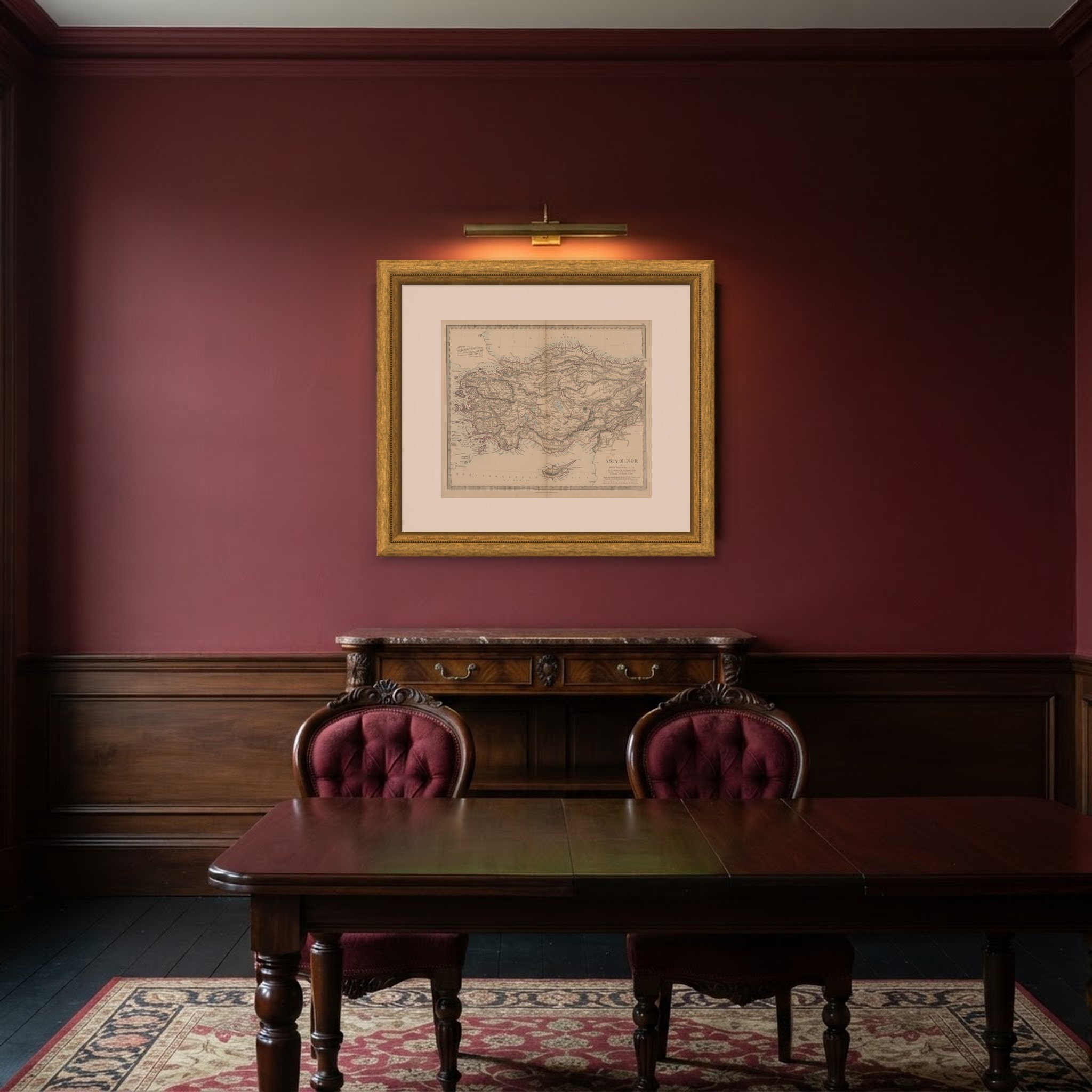
This is an original antique map, not a modern reproduction. This item is sold unframed. Any framed or interior images are shown for presentation and inspiration only, unless the listing explicitly states that the item is sold framed.