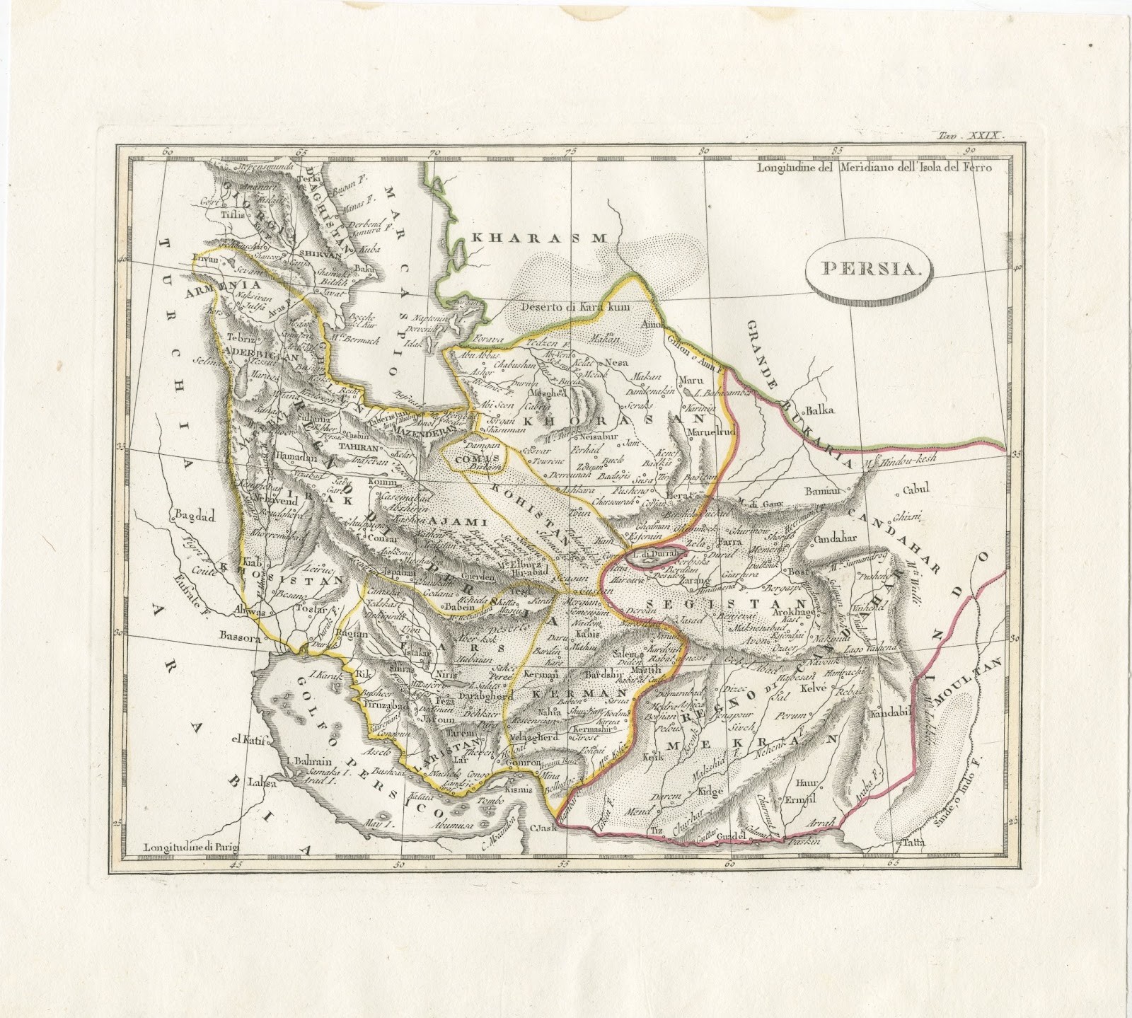
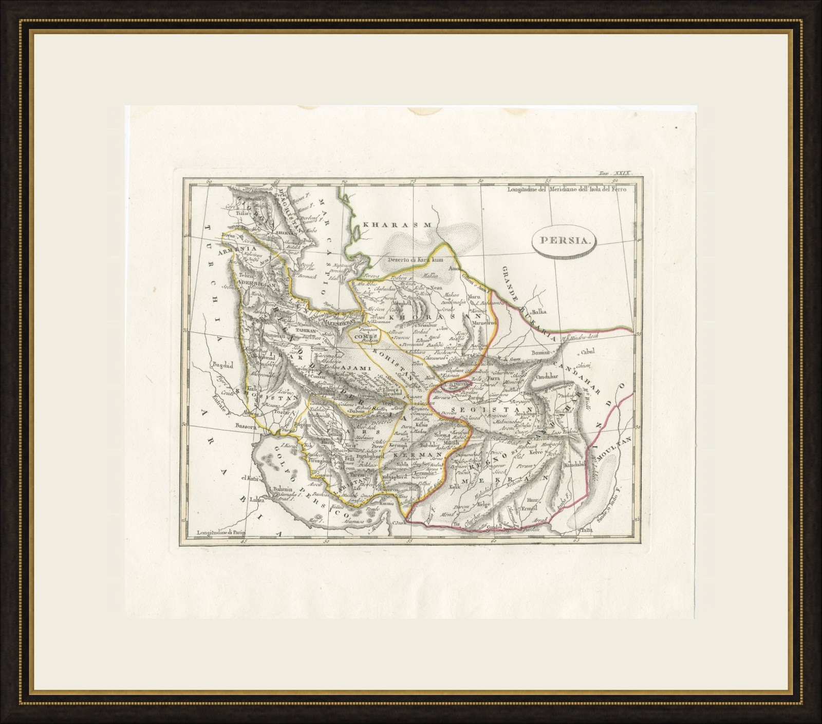
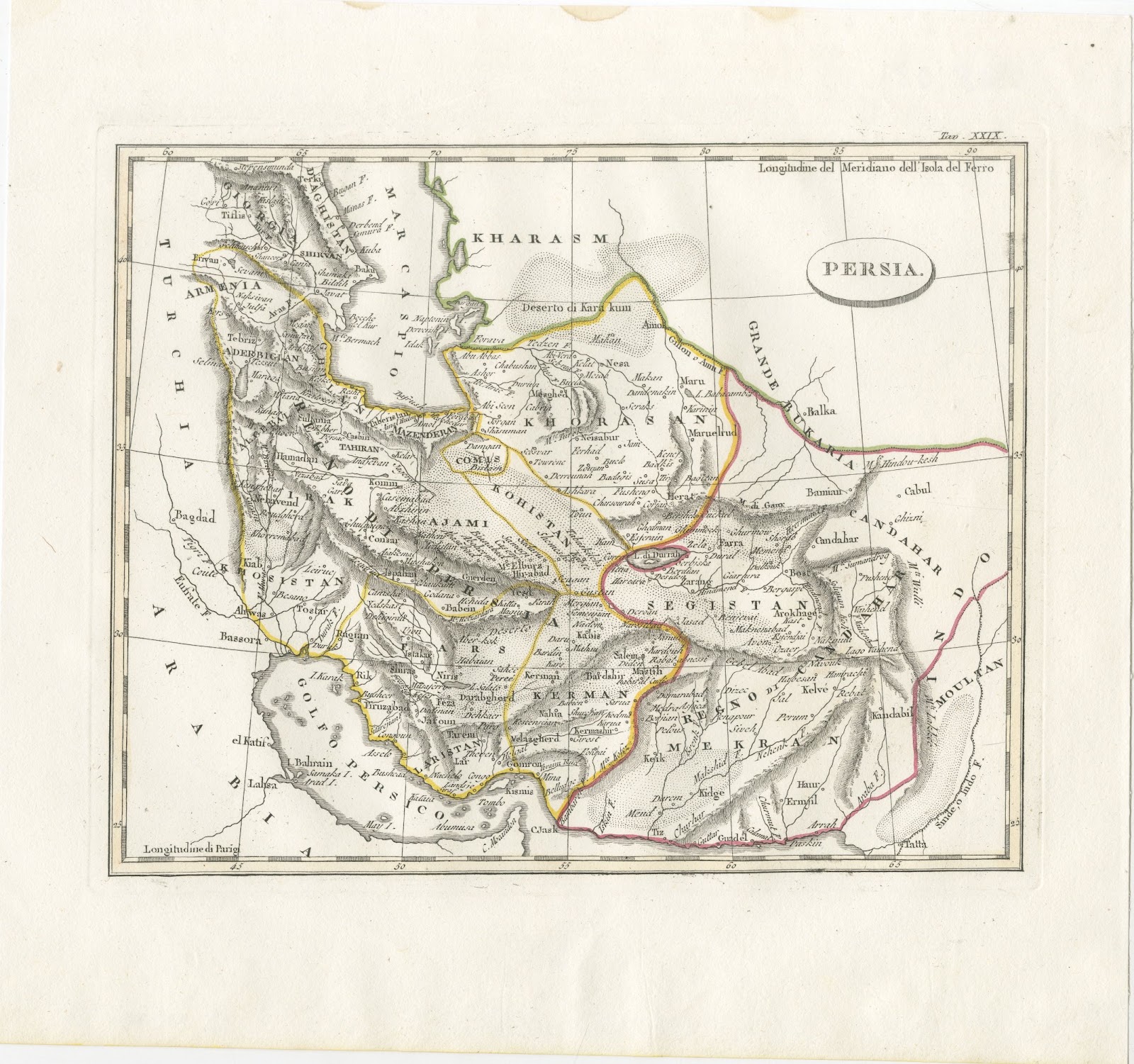
Antique Italian Map of Persia with Khorasan and the Persian Gulf, circa 1820
€ 340
Original antique · The actual sheet photographed · Certificate of authenticity on request · Sold unframed · Worldwide shipping from € 15 (rates)
Date
circa 1810-1830
Mapmaker / artist
Unknown engraver
Technique
Copper Engraving
Condition
Good
Reference
BG-14279-31
Condition
Good condition for its age. Light toning with faint brown marks along the upper edge and a few small spots in the upper right margin. The image is clean. Please review the images for further condition details.
About this sheet
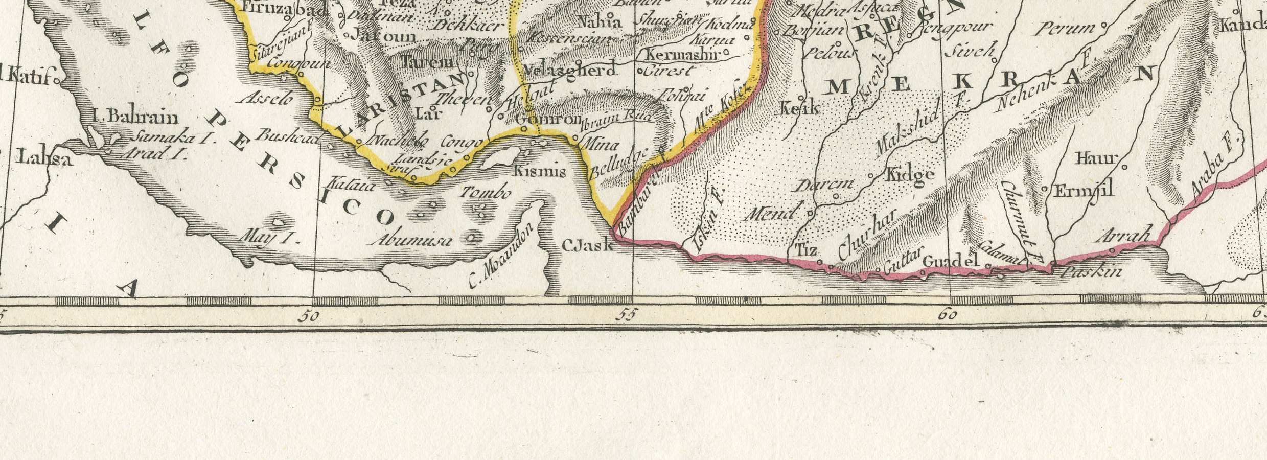
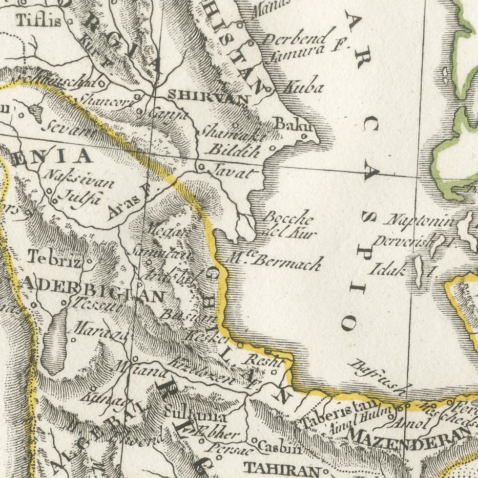
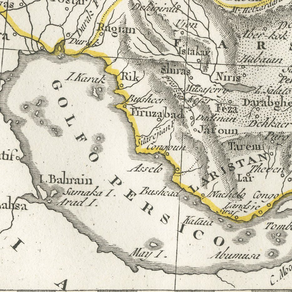
This antique map of Persia comes from an Italian atlas of the early nineteenth century. Its oval title reads simply Persia, the plate is numbered Tav. XXIX in the upper right margin, and longitudes are given from the Isola del Ferro at the top and from Paris at the lower left.
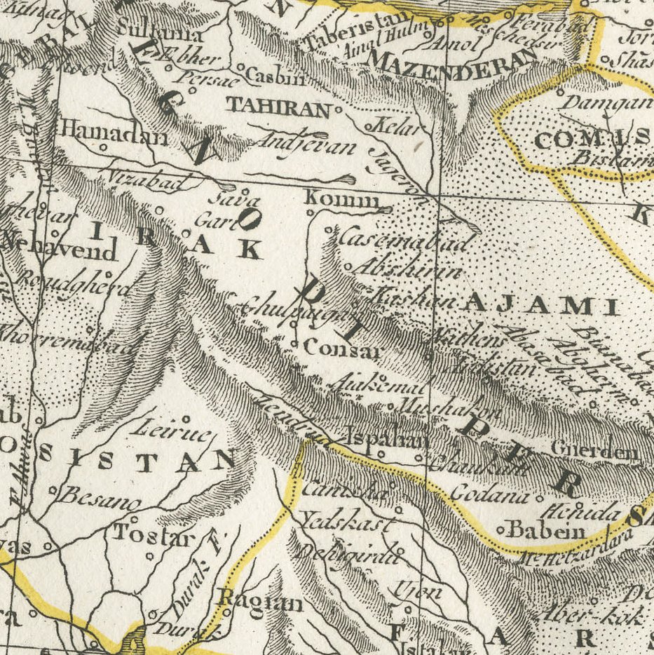
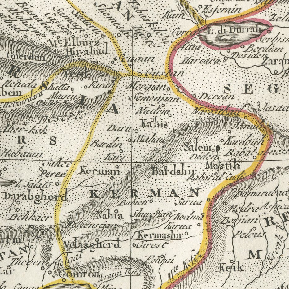
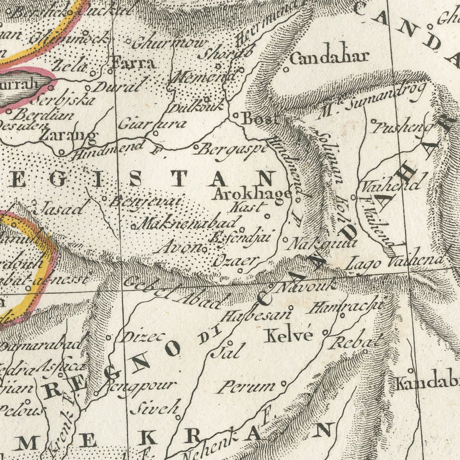
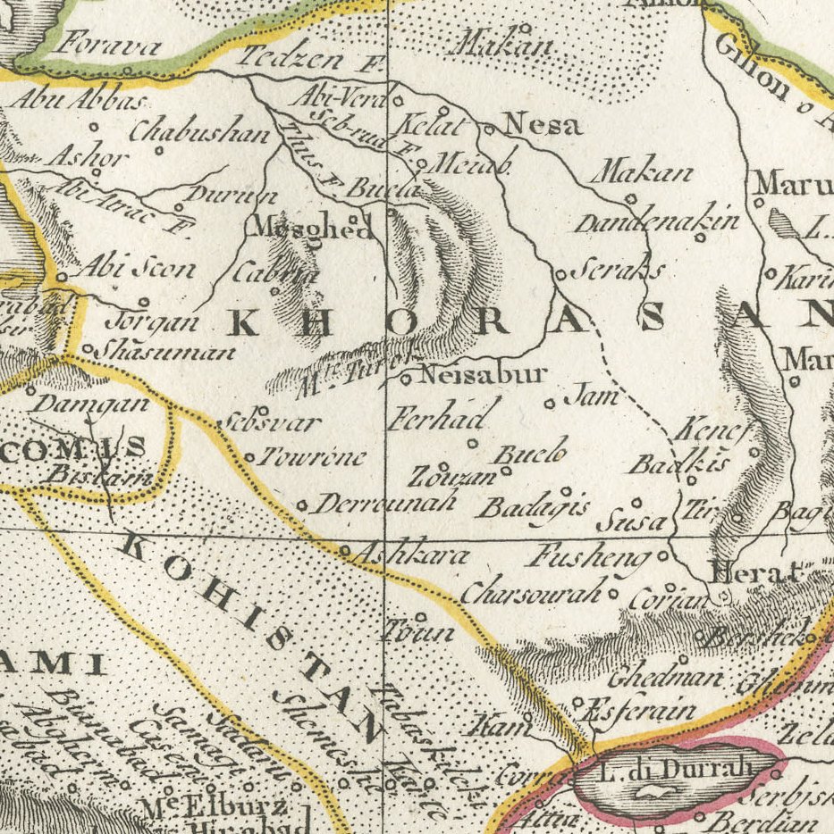
The map shows Persia from the Caucasus and the Caspian, here the Mar Caspio, to the Golfo Persico and the Arabian Sea, with Armenia and Aderbigian in the northwest, Mazenderan and Khorasan along the north, and Kerman, Segistan and Mekran in the south and east. The deserts are finely stippled, and Tahiran, Ispahan, Schiras, Herat and Candahar are among the towns named, with Arabia to the west and the Grande Bukaria to the northeast.
No publisher's imprint is visible, but the Italian lettering and the reference to the meridian of Ferro point to a Venetian or Milanese atlas of the period. The principal frontiers are outlined by hand in yellow, green and red, and the wide margins give the sheet an elegant presence.
It is a pleasing map of Iran for a collector of Persian or Middle Eastern cartography and frames well in a study or reading room. Beyond its decorative appeal, a map of this kind records the place names, routes and political divisions known to travellers, merchants and scholars of its day, which gives it lasting value as a historical document.
The sheet is in good condition for its age, with light toning, faint marks along the upper edge and a few spots in the margin; the image is clean.
This is an original antique map, not a modern reproduction. This item is sold unframed. Any framed or interior images are shown for presentation and inspiration only, unless the listing explicitly states that the item is sold framed.