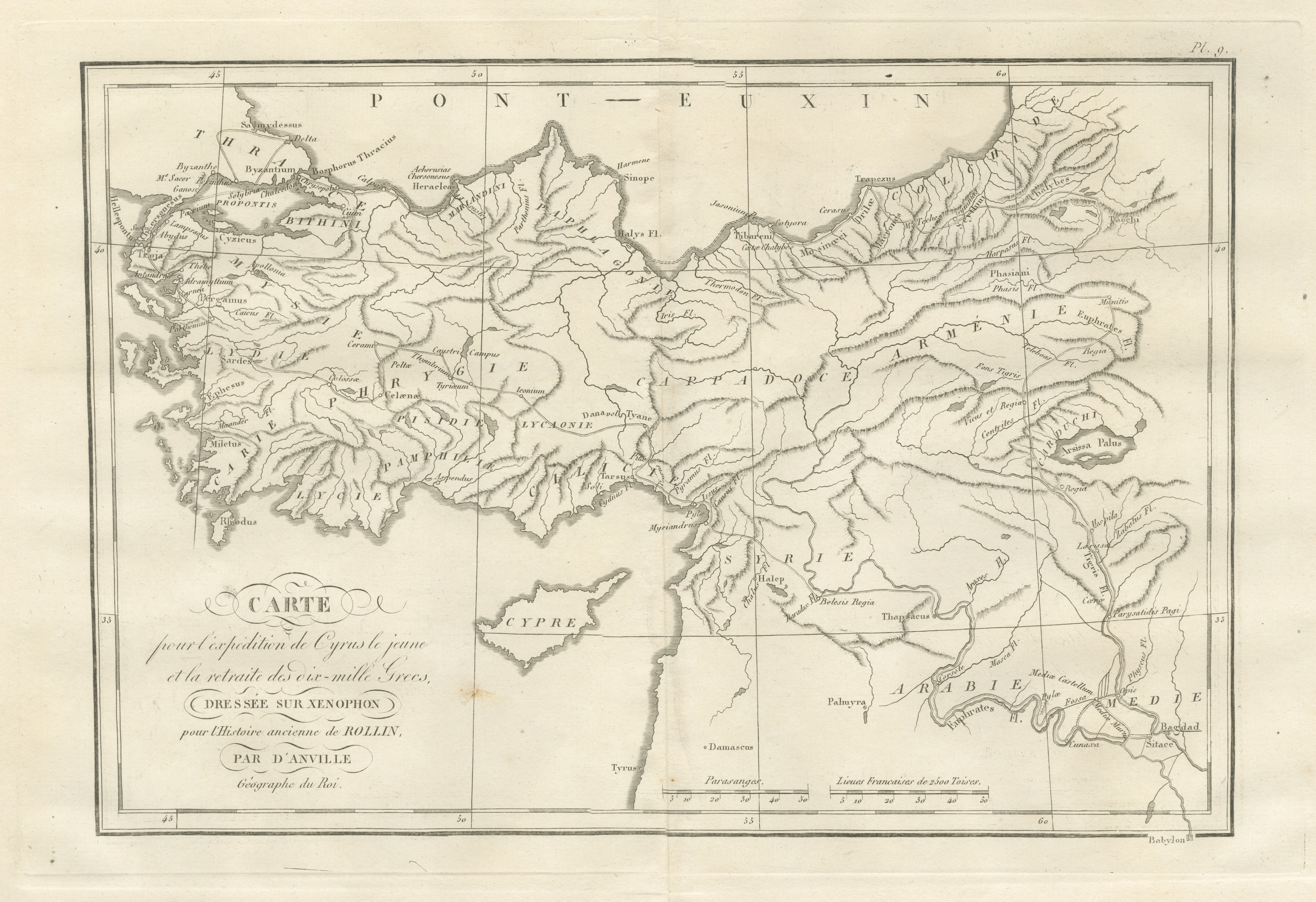
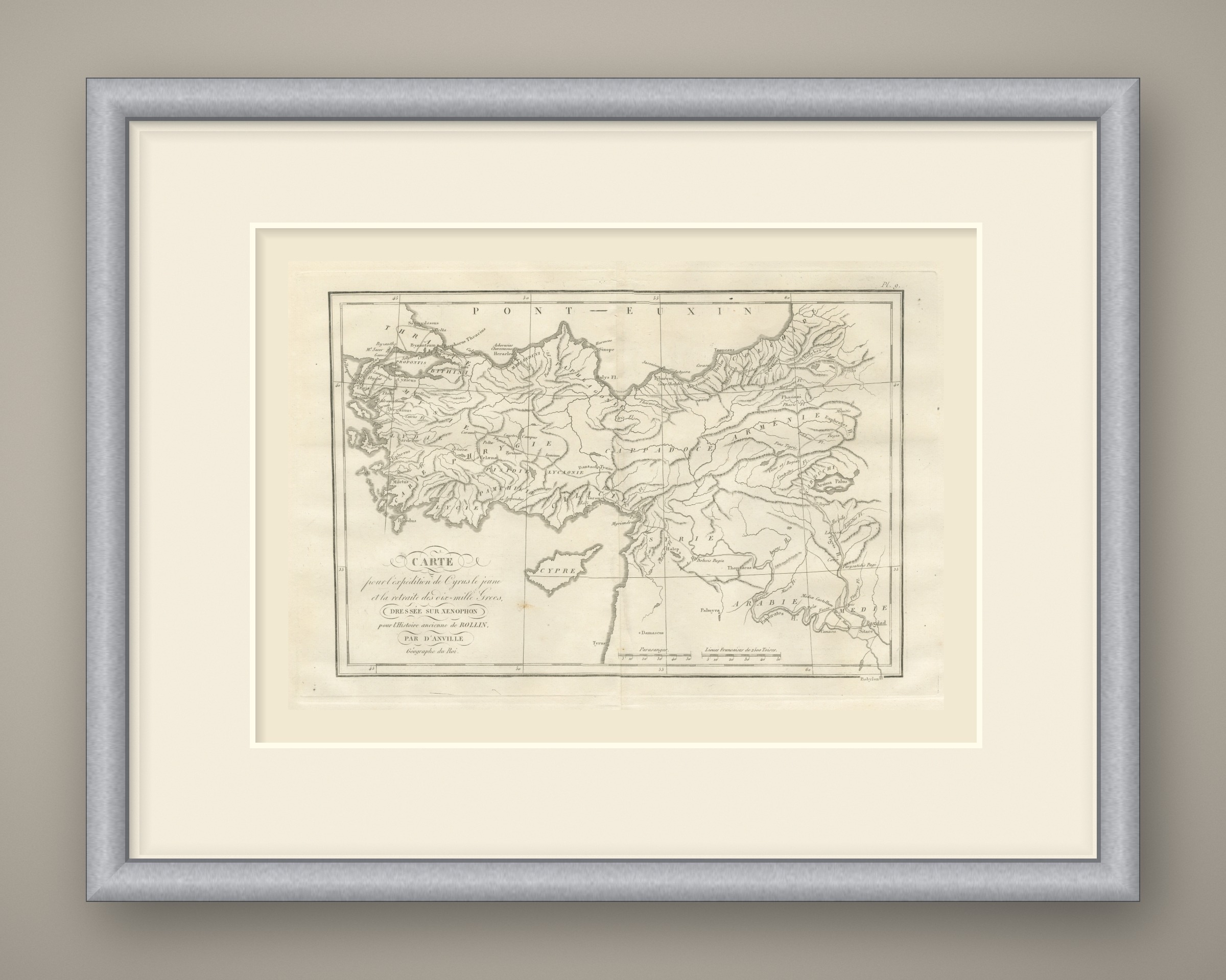
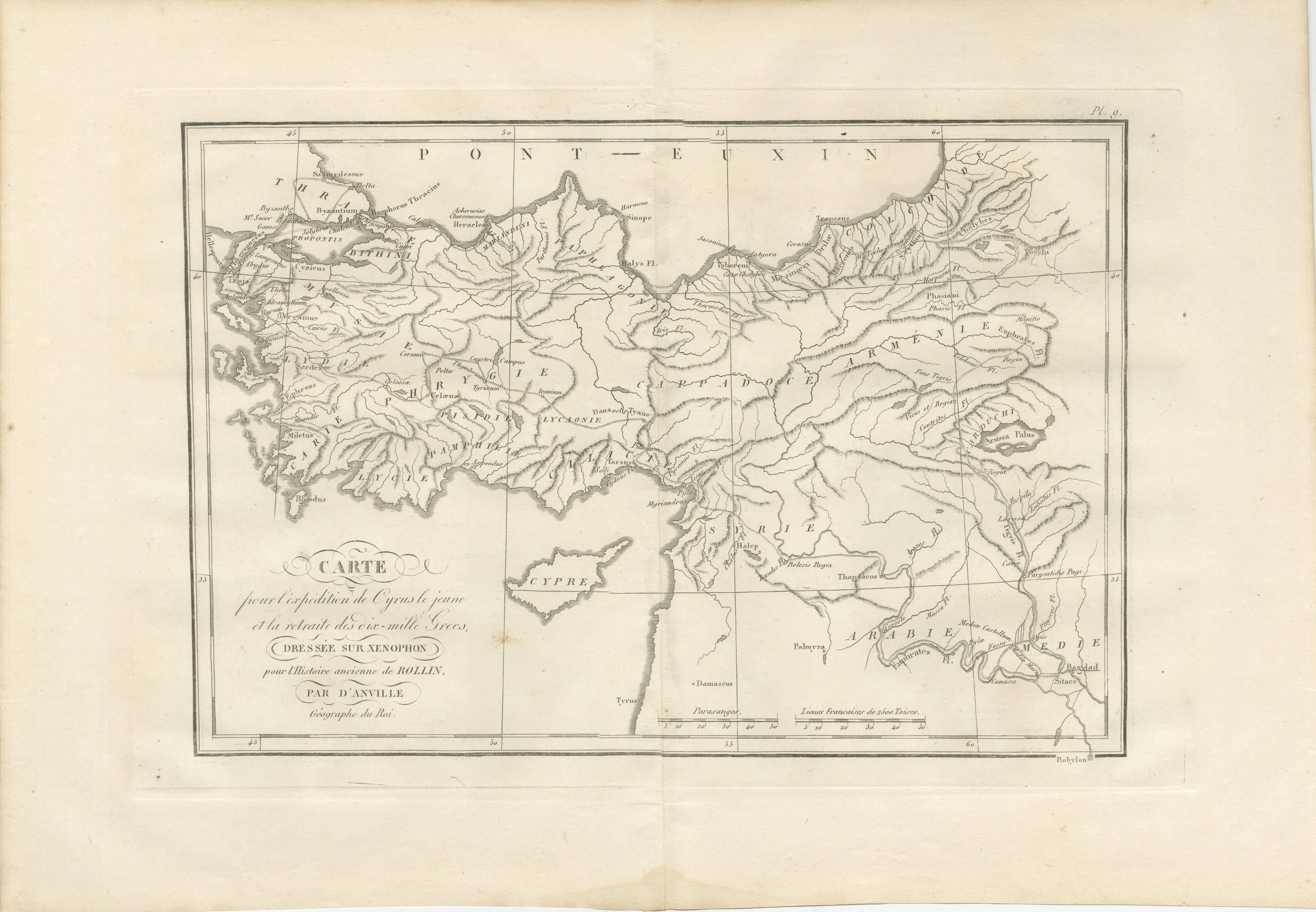
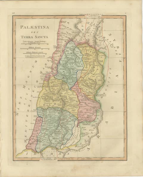
March of Cyrus and Retreat of the Ten Thousand after Xenophon, 1818
€ 245
Original antique · The actual sheet photographed · Certificate of authenticity on request · Sold unframed · Worldwide shipping from € 15 (rates)
Date
1818
Mapmaker / artist
Jean-Baptiste Bourguignon d'Anville, cartographer
Publisher
Ledoux et Tenré, Paris
Technique
Copper Engraving
Coloring
Uncolored
Condition
Good
Reference
BG-14399-9
What the condition grades mean
Excellent
Bright and clean, with no faults worth mentioning.
Very good
Only light signs of age, such as faint toning.
Good
Normal signs of age for a sheet of this period: toning, some foxing, small marks or neat old repairs.
Fair
Clear faults such as staining, tears or repairs, priced to match.
Every fault we see is written in the condition note, and the whole sheet is shown uncropped in the photos.
Condition
Light uneven toning, browner toward the edges. Handling soiling along all four edges. Foxing over much of the margin. Slight wear at the top right corner. Minor edge wear, shallow nicks along the right. Several larger brown marks. Center fold as issued.
About this sheet
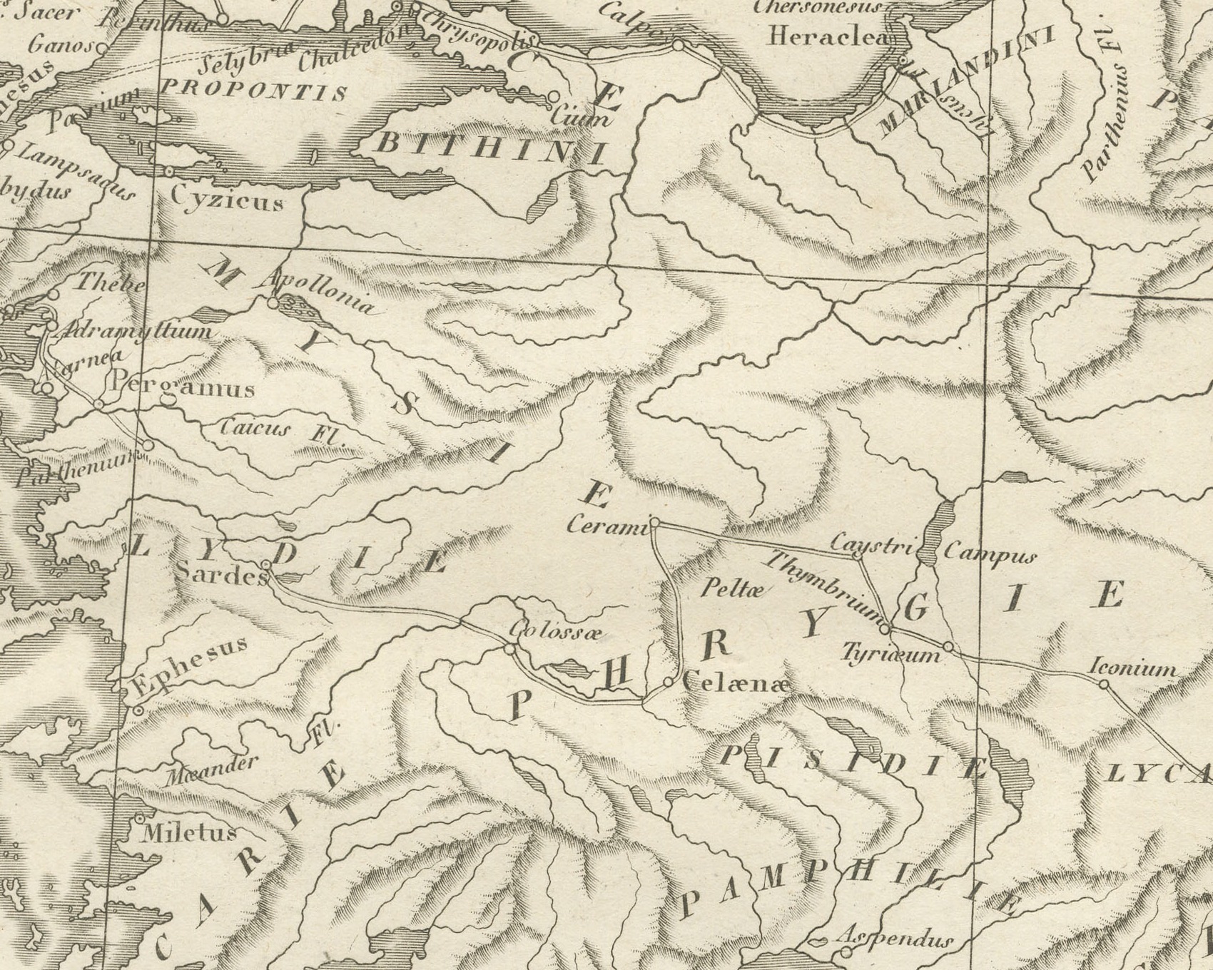
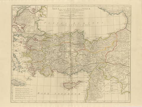
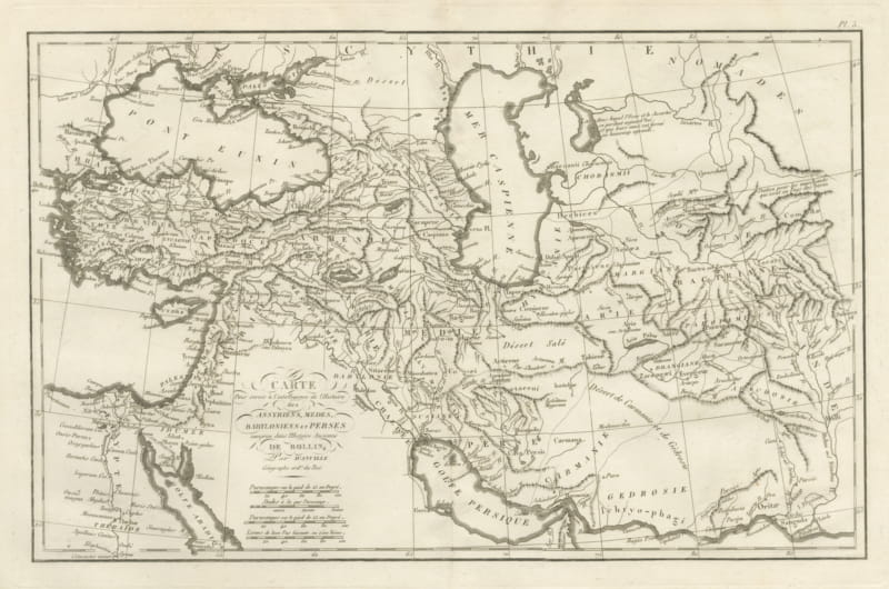
An original copper engraved map, uncolored, of Asia Minor, Syria and Mesopotamia, with the route of the expedition drawn as a fine double line. The outward march runs from Sardes through Phrygie and Lycaonie by Iconium to Tyane, through the Cilician passes to Tarsus, Issus and Myriandrus, east to Thapsacus and down the Euphrates to Cunaxa, near Sitace and Babylon. The return goes up the Tigris, through the Carduchi and across Arménie, past the Taochi and Chalybes, down to Trapezus on the Pont Euxin, and along the coast toward Byzantium.
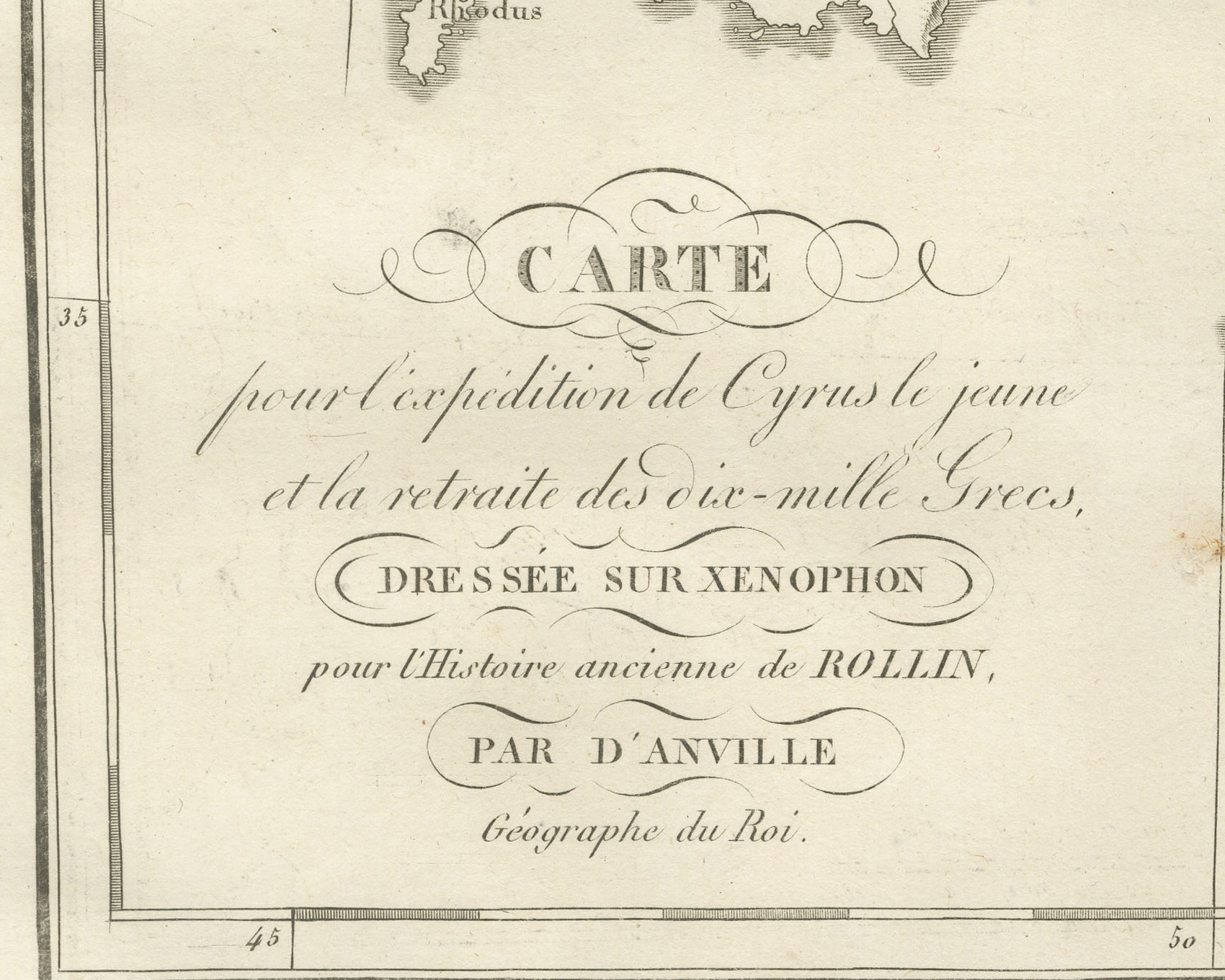
The cartouche at lower left reads Carte pour l'expédition de Cyrus le jeune et la retraite des dix-mille Grecs, dressée sur Xenophon pour l'Histoire ancienne de Rollin, par d'Anville, Géographe du Roi. The plate is numbered Pl. 9. above the upper right corner. Two scale bars at the foot are captioned Parasanges and Lieues Francaises de 2500 Toises. No engraver is named on the sheet.
The plate comes from the Atlas de Géographie Ancienne, published in Paris in 1818 by Ledoux et Tenré and printed by Didot le jeune to accompany the works of Charles Rollin (1661 to 1741), the French historian whose Histoire ancienne the map was drawn to illustrate. The title page states that the atlas was engraved after the original maps of Jean-Baptiste Bourguignon d'Anville (1697 to 1782). Its table of plates carries a foreword signed by Ambroise Tardieu, géographe-graveur, who writes that the maps were copied with religious fidelity and that, charged with reviewing the proofs, he had only negligences and defects of execution to correct. Xenophon's Anabasis tells of the march of Cyrus the Younger and the retreat of the Greek mercenaries.
Condition: Light uneven toning, browner toward the edges. Handling soiling along all four edges. Foxing over much of the margin. Slight wear at the top right corner. Minor edge wear, shallow nicks along the right. Several larger brown marks. Center fold as issued.
This is an original antique map, not a modern reproduction. This item is sold unframed. Any framed or interior images are shown for presentation and inspiration only, unless the listing explicitly states that the item is sold framed.