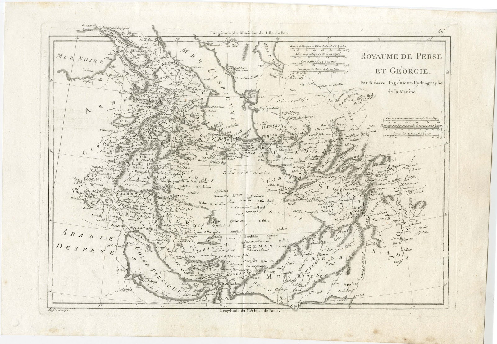
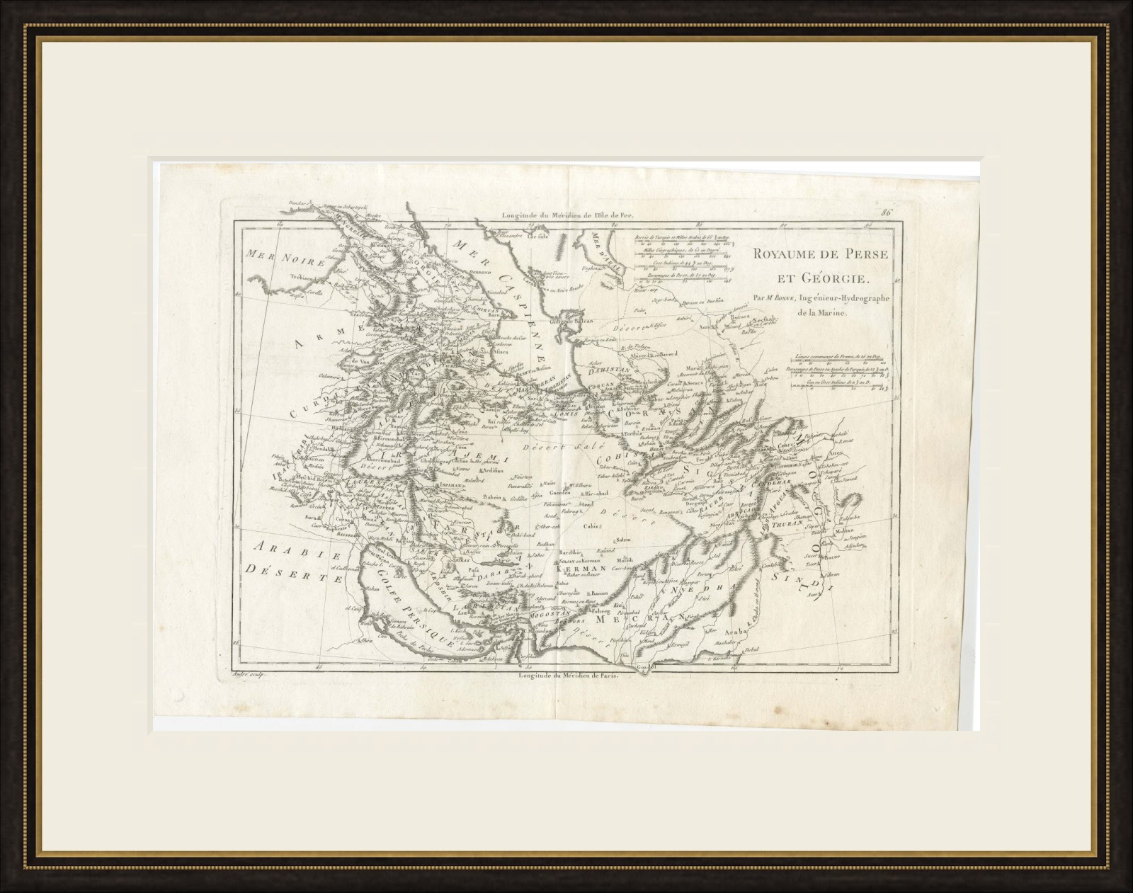
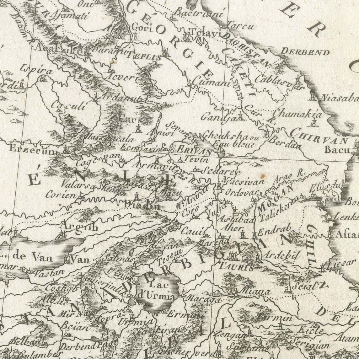
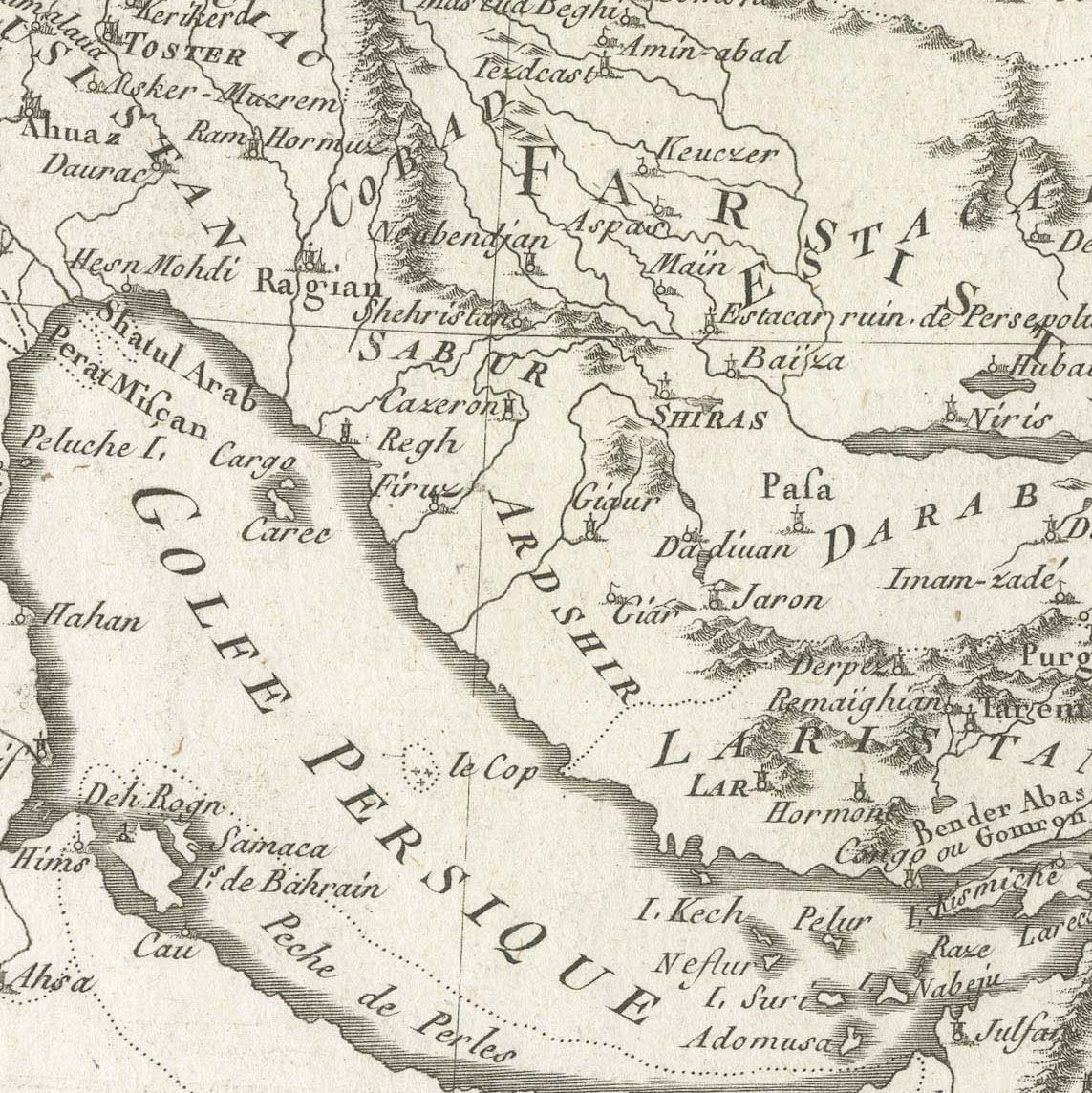
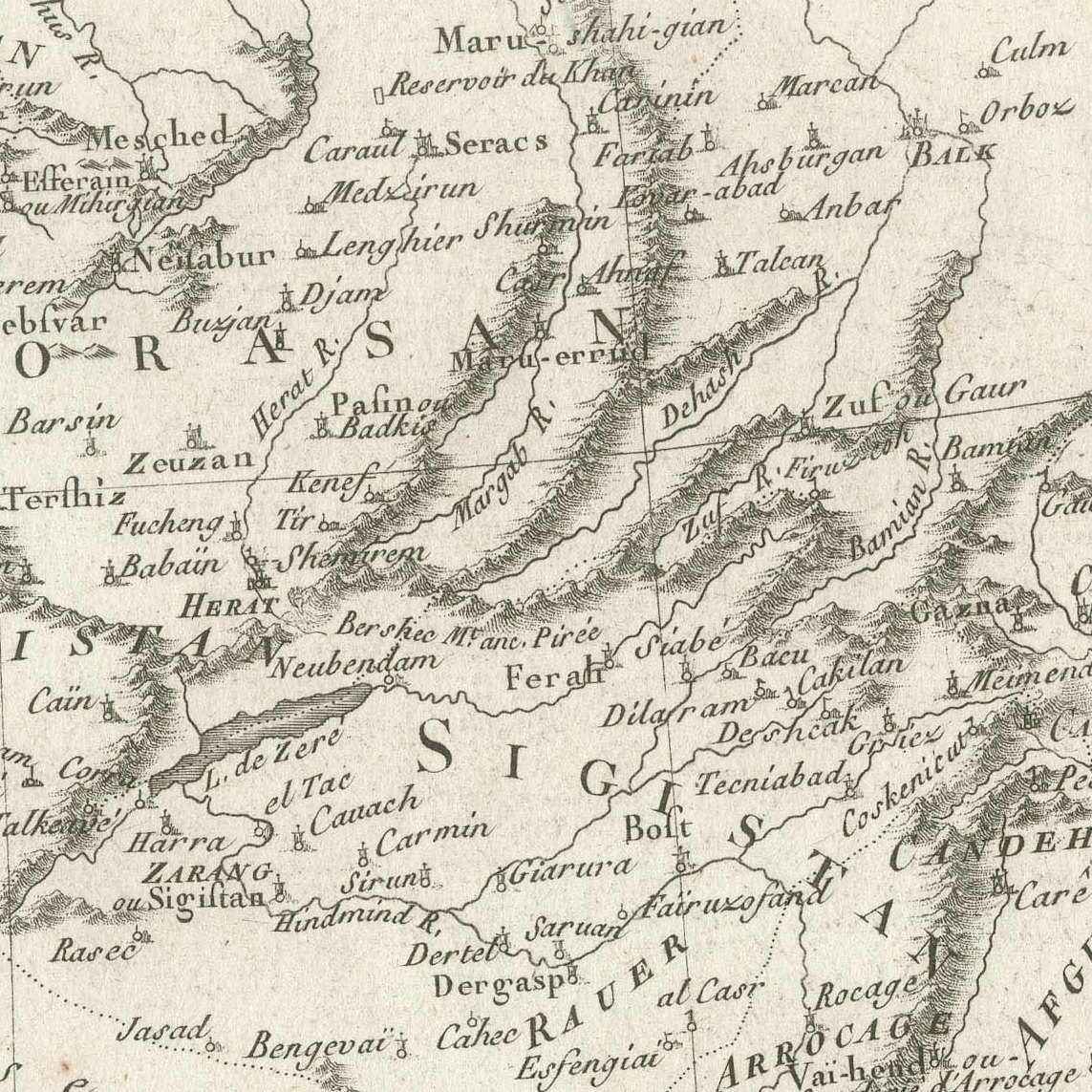
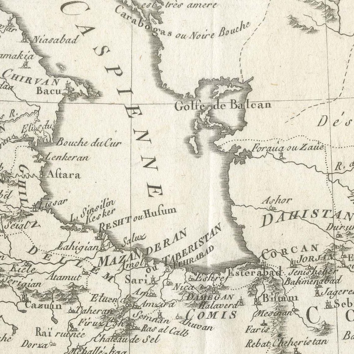
Antique Map of Persia and Georgia by Bonne, Royaume de Perse, circa 1787
€ 385
Original antique · The actual sheet photographed · Certificate of authenticity on request · Sold unframed · Worldwide shipping from € 15 (rates)
Date
circa 1780-1790
Mapmaker / artist
Rigobert Bonne, engraved by André
Publisher
Paris
Technique
Copper Engraving
Colouring
Uncoloured
Condition
Fair
Reference
BG-14279-35
Condition
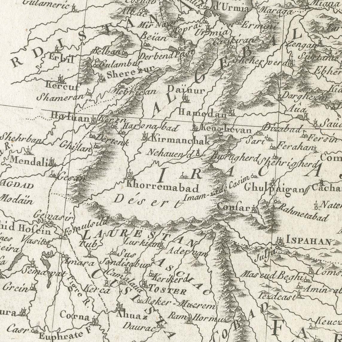
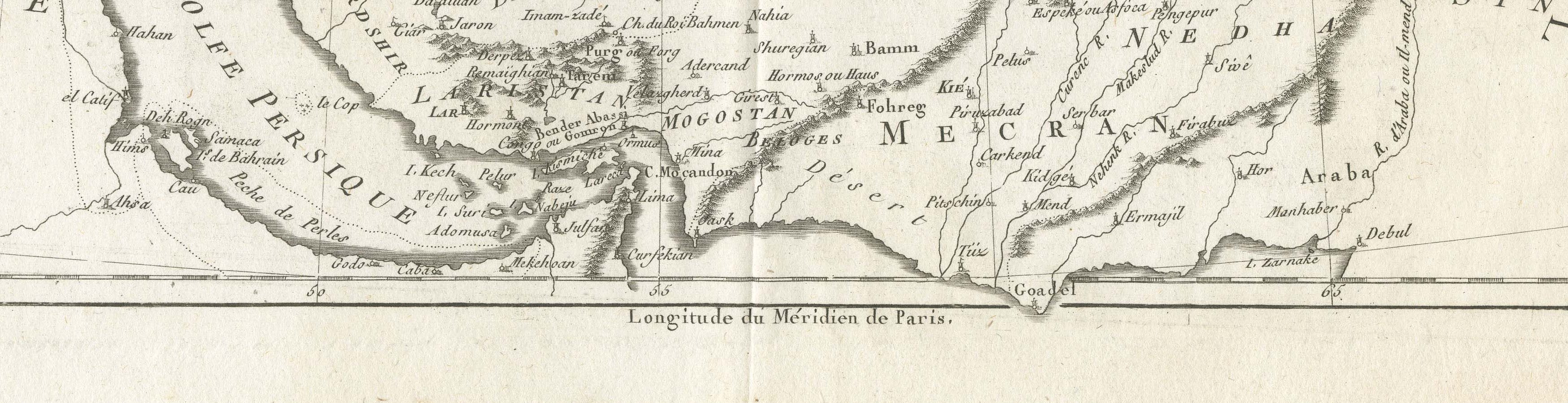
Good condition for its age. Centre fold as issued. Light soiling, small spots and minor creasing to the margins; slightly irregular right edge. Please review the images for further condition details.
About this sheet
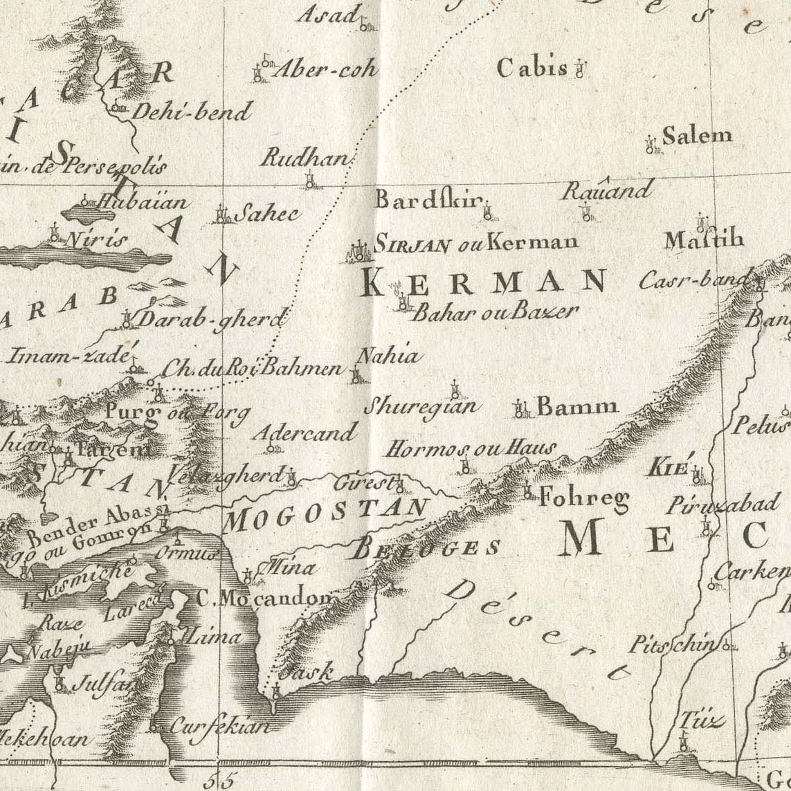
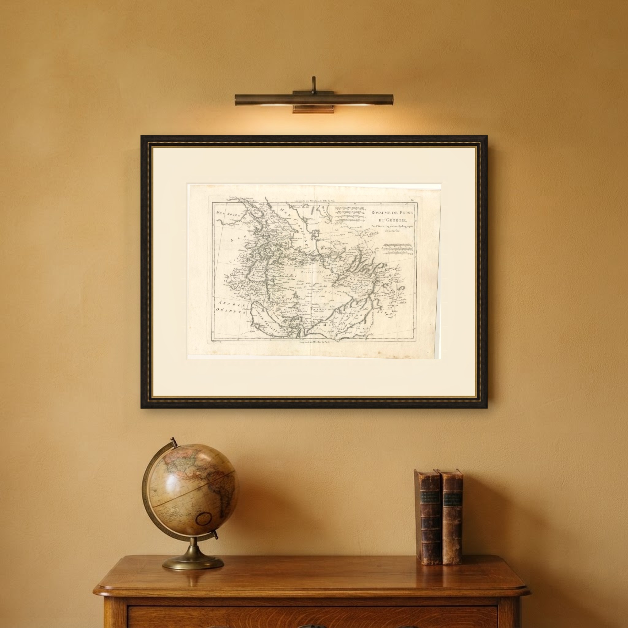
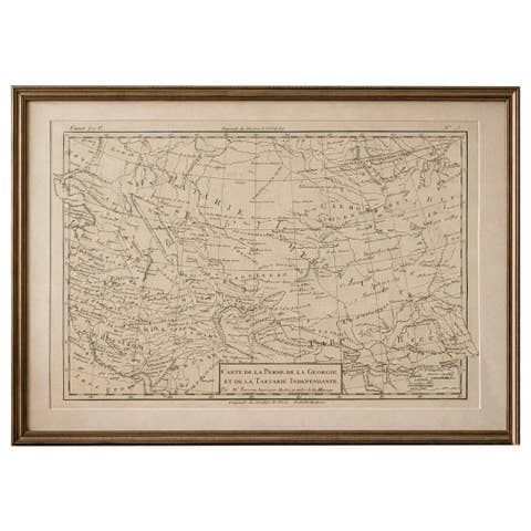
This antique map of Persia and Georgia is titled Royaume de Perse et Géorgie, par M. Bonne, Ingénieur Hydrographe de la Marine, and was engraved by André for one of Rigobert Bonne's Paris atlases of the 1780s. It is numbered 86 in the upper right corner.
The map extends from the Black Sea, Georgia and Armenia across the Caspian to Khorasan, Candahar and the Indus, and south through Irak Ajemi, Fars and Kerman to the Persian Gulf and Mekran. Hundreds of place names are recorded, including Tiflis, Erivan, Tauris, Ispahan, Schiraz and Herat, and a group of scales in the upper right compares Turkish, Persian and French measures.
Rigobert Bonne served as Ingénieur Hydrographe de la Marine and was one of the most influential French cartographers of the later eighteenth century. His maps are admired for their careful compilation, restrained decoration and dense detail, and they were issued in several important atlases, including the atlas of the Abbé Raynal's Histoire philosophique des deux Indes and the Atlas encyclopédique. This example is uncoloured, which shows the delicate engraving of mountains and rivers very clearly.
A detailed eighteenth century map of Iran and the Caucasus by one of the great French cartographers, it will suit a serious collector of Persia and frames handsomely. Beyond its decorative appeal, a map of this kind records the place names, routes and political divisions known to travellers, merchants and scholars of its day, which gives it lasting value as a historical document.
The sheet is in good condition for its age, with the centre fold as issued, light soiling and minor creasing in the margins; the engraved image is clean.
This is an original antique map, not a modern reproduction. This item is sold unframed. Any framed or interior images are shown for presentation and inspiration only, unless the listing explicitly states that the item is sold framed.