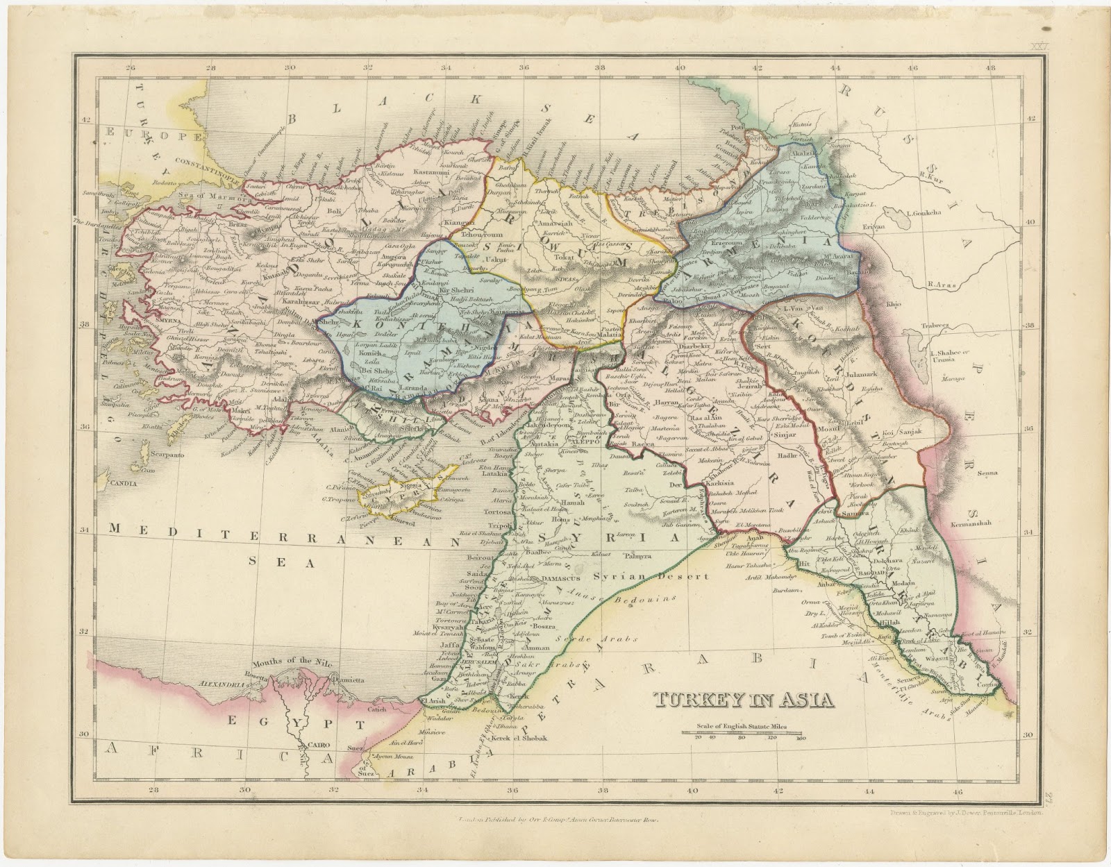
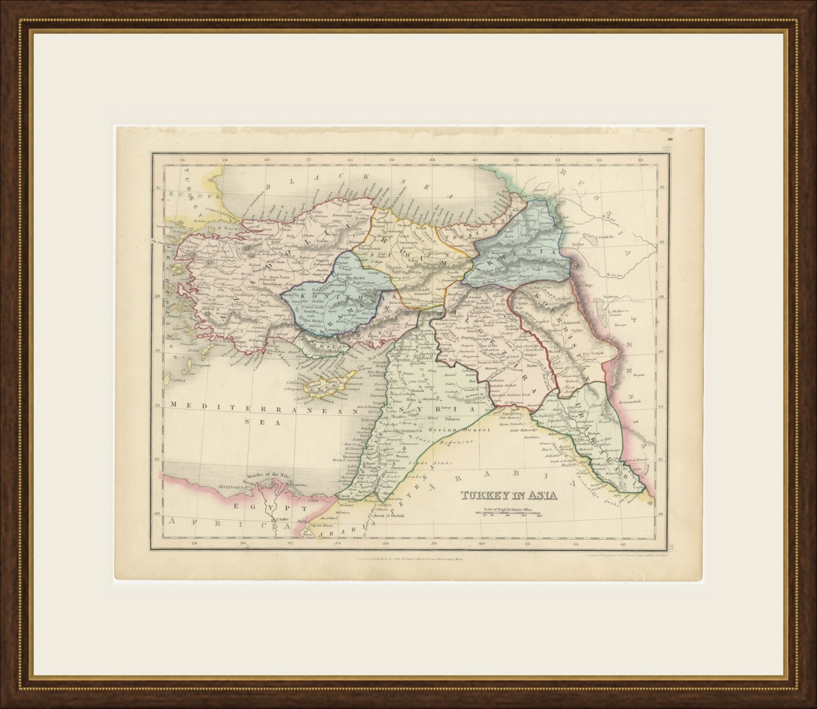
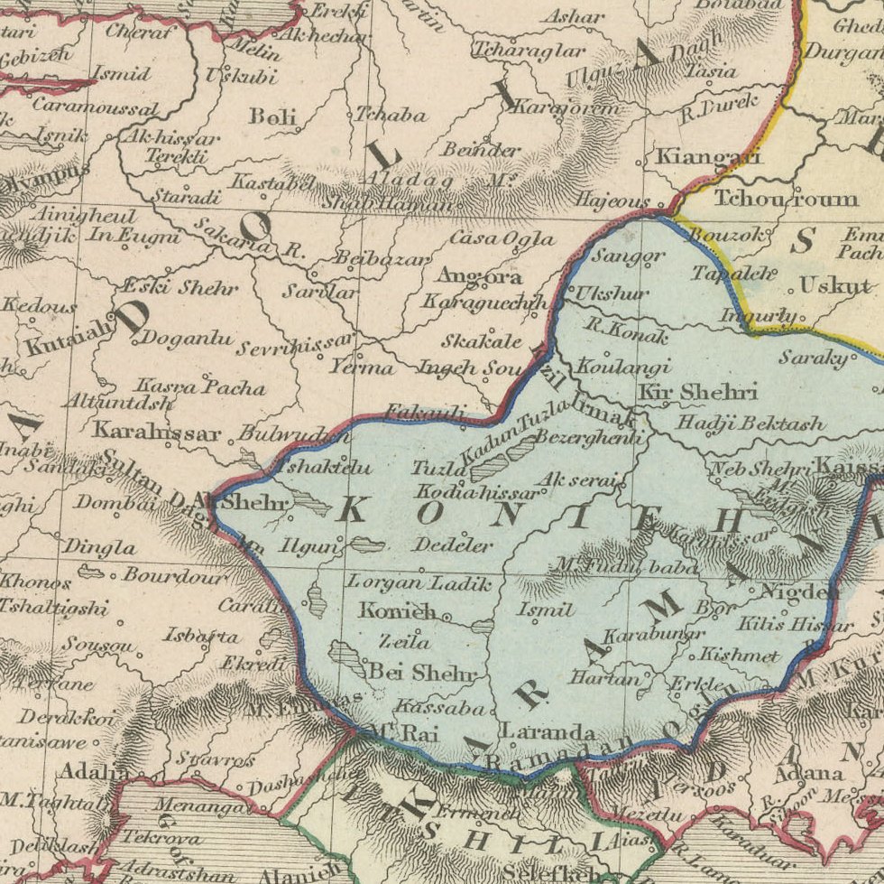
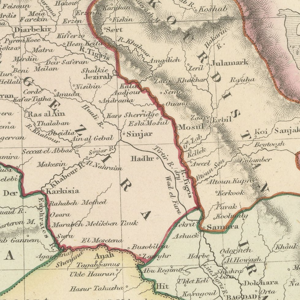
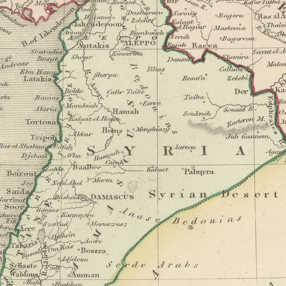
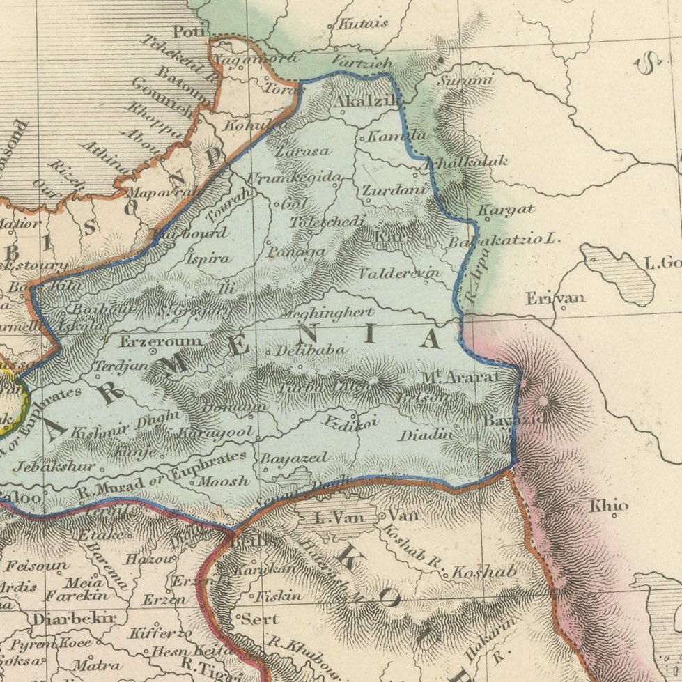
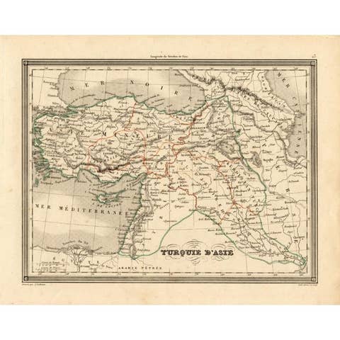
Antique Map of Turkey in Asia by Dower, Anatolia, Syria and Iraq, circa 1845
€ 275
Original antique · The actual sheet photographed · Certificate of authenticity on request · Sold unframed · Worldwide shipping from € 15 (rates)
Date
circa 1845
Mapmaker / artist
John Dower
Publisher
Orr and Company, Amen Corner, Paternoster Row, London
Technique
Steel Engraving
Colouring
Original hand colour
Condition
Good
Reference
BG-14279-24
Condition
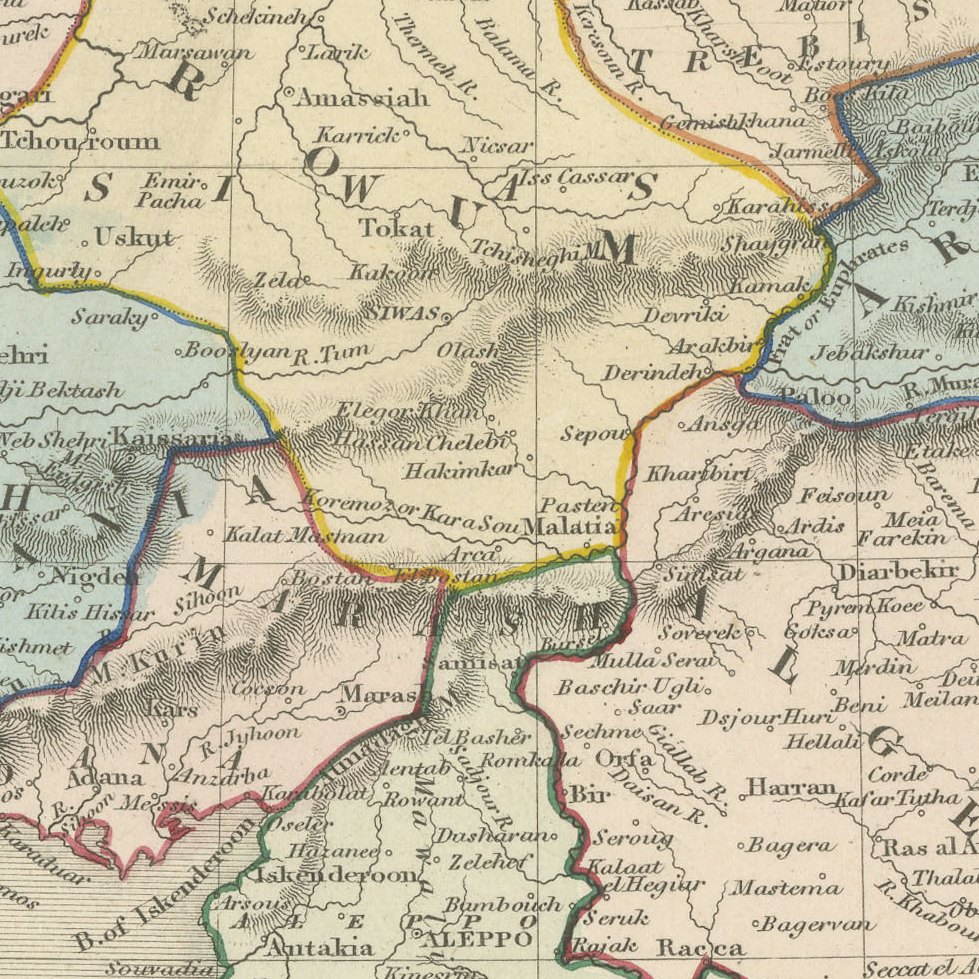
Good condition for its age. Light toning with light dust soiling along the upper edge and a small brown stain in the upper right margin. The image is clean. Please review the images for further condition details.
About this sheet
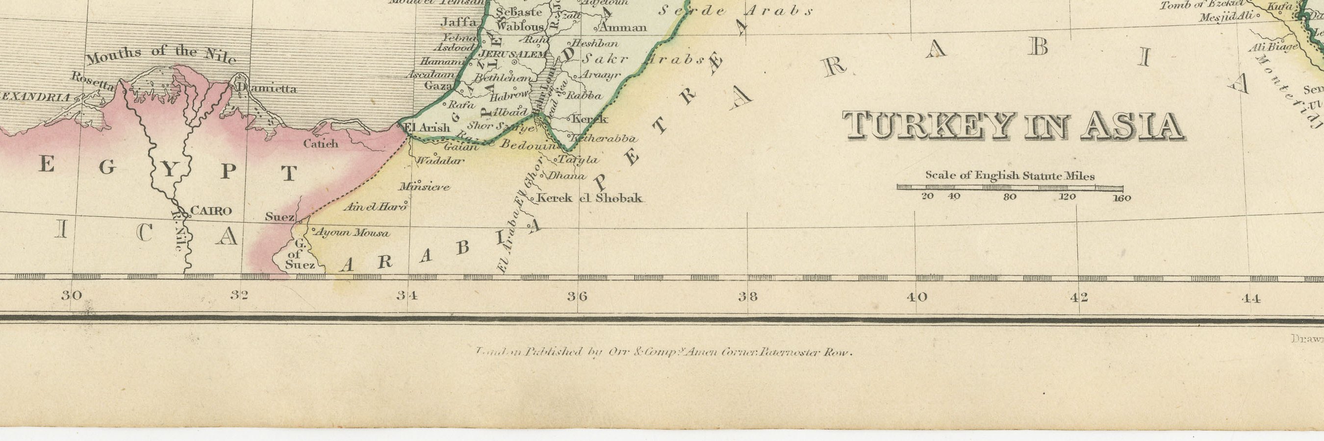
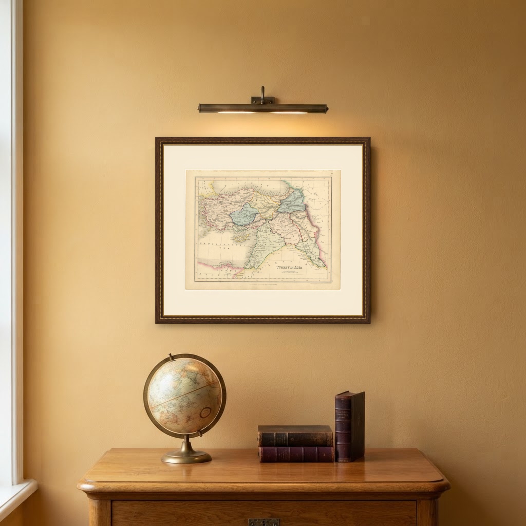
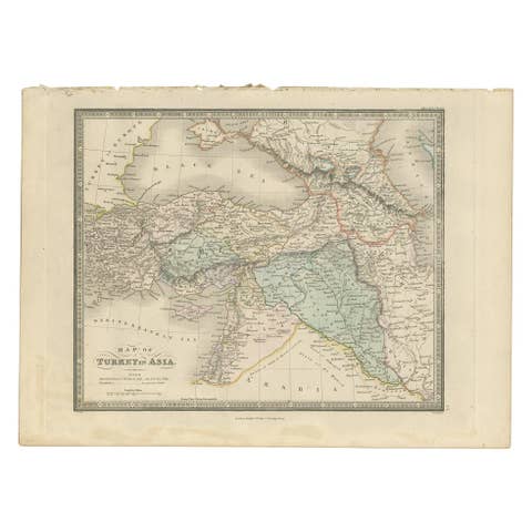
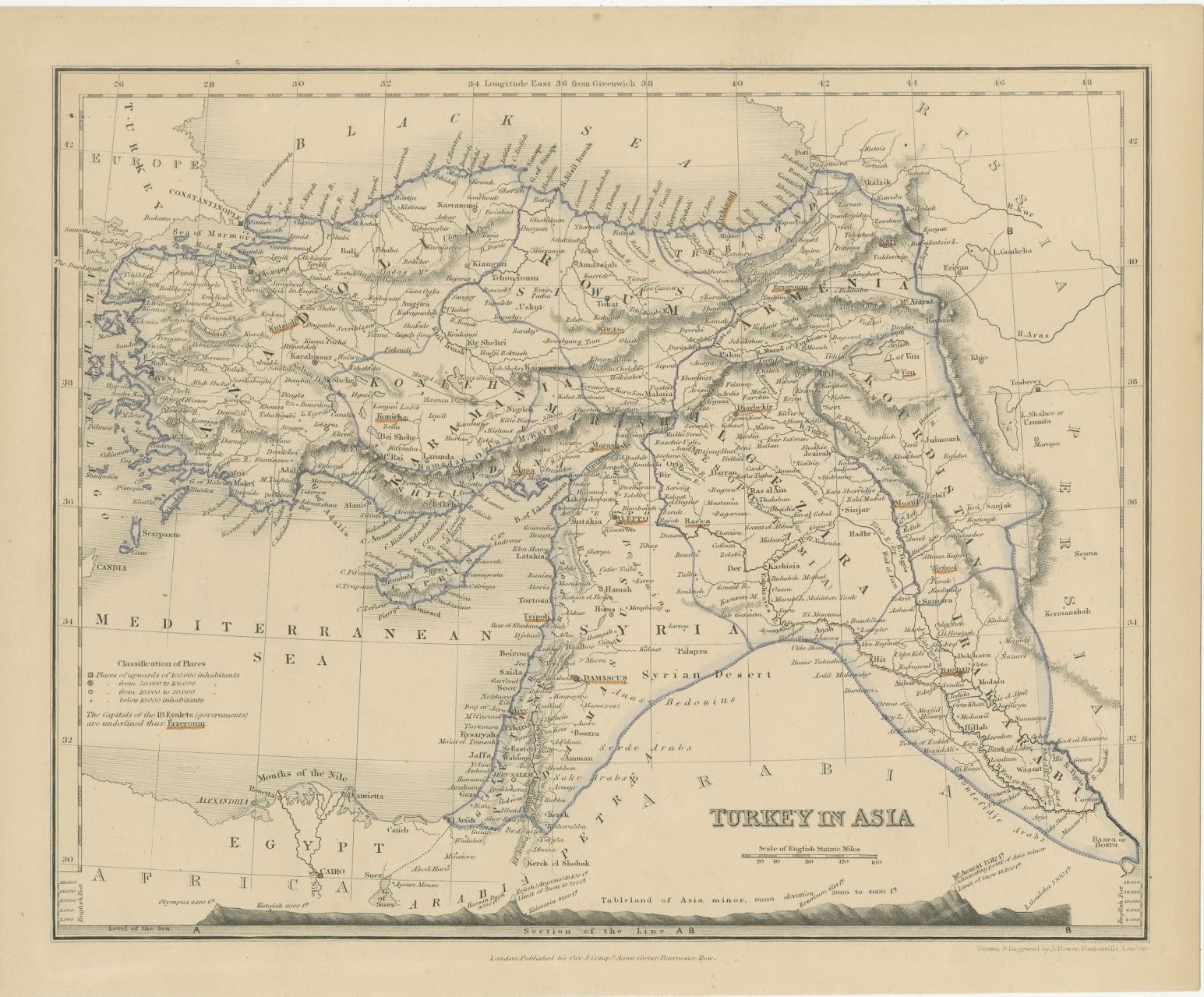
This antique map of Turkey in Asia was drawn and engraved by John Dower of Pentonville and published in London by Orr and Company of Amen Corner, Paternoster Row, around 1845. It is numbered XXV in the upper right margin.
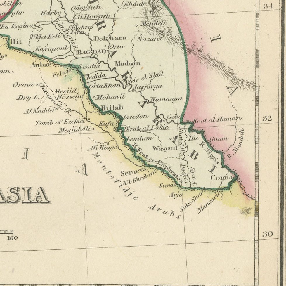
The map covers Anatolia, Armenia, Kurdistan, Syria and Mesopotamia, from Constantinople and the Sea of Marmora to the Persian frontier and Bassora, with Egypt, Cairo and the mouths of the Nile at lower left. The Ottoman regions of Anadoli, Karamania, Roum, Armenia, Al Jezira, Irak Arabi and Syria are each washed in a different colour, and a scale of English Statute Miles sits beneath the title.
John Dower of Pentonville was one of the leading London map engravers of the first half of the nineteenth century, and his maps were published by William Orr and his partners from their premises at Amen Corner, Paternoster Row. Engraved on steel, they combine clear lettering with fine hachured relief and remain popular with collectors of Victorian cartography. The full wash and outline colour on this sheet appears to be of the period.
This is a colourful and informative map of the Ottoman lands, well suited to framing in a study or library, and it pairs naturally with Dower's other maps of the Near East. Beyond its decorative appeal, a map of this kind records the place names, routes and political divisions known to travellers, merchants and scholars of its day, which gives it lasting value as a historical document.
The sheet is in good condition for its age, with light toning, some soiling along the upper edge and a small stain in the upper margin; the image is clean.
This is an original antique map, not a modern reproduction. This item is sold unframed. Any framed or interior images are shown for presentation and inspiration only, unless the listing explicitly states that the item is sold framed.