Antique Maps of West Asia & the Holy Land
320 original sheets

Antique Map of Asia Minor Turkey by Edward Weller, Weekly Dispatch, 1863
1863 · € 280
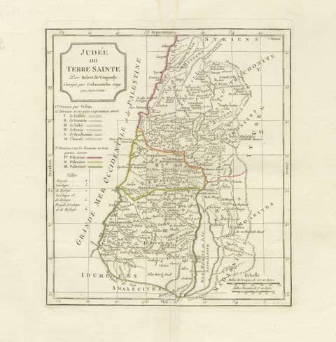
Antique Holy Land Map, Judée ou Terre Sainte, Robert de Vaugondy, 1806
1806 · € 360
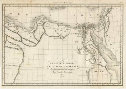
Antique Map of Ancient Egypt, Libya & Syria by Ambroise Tardieu, 1824
1824 · € 280

Holy Land Map of the Twelve Tribes of Israel – Sanson, Hand Colored, 1696
1696 · € 1 900
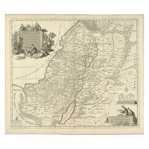
Antique Holy Land Map, Twelve Tribes of Israel – Covens & Mortier, c.1700
1700 · € 1 200
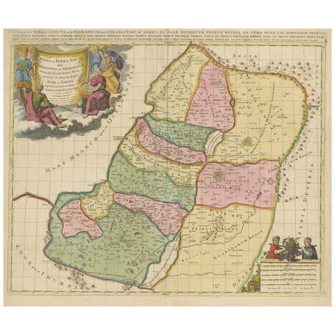
Judaea or Terra Sancta, Twelve Tribes of Israel – Sanson Map, c.1680
1680 · € 790
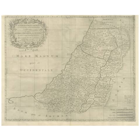
Holy Land Map, Terra Promissa or Judaea – Nicolas Sanson, c.1700
1700 · € 440
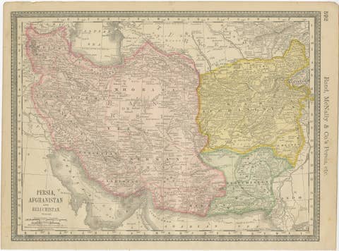
Antique Persia Map Wall Art – Iran Afghanistan Beluchistan, Rand McNally, c.1888
1888 · € 390
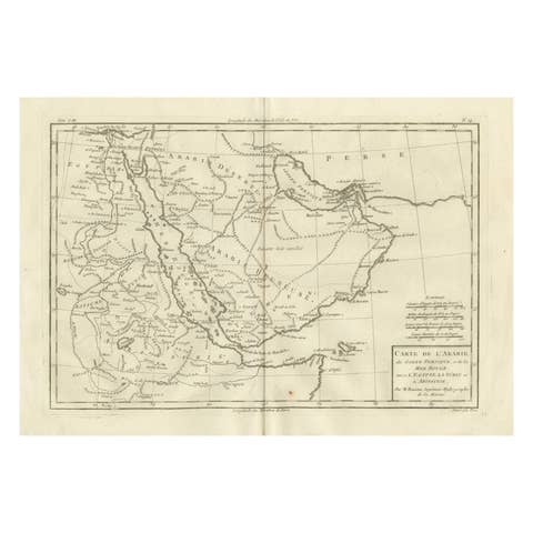
Antique Map of Arabia, Red Sea & Persian Gulf by Rigobert Bonne, 1780
1780 · € 360

Antique Map of Persia and Georgia by Rigobert Bonne, Circa 1780
1780 · € 310
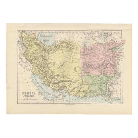
Antique Map of Persia, Afghanistan and Beloochistan – Black’s Atlas, 1884
1884 · € 330
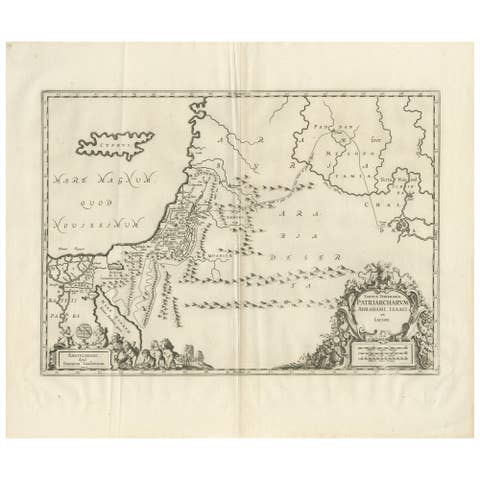
Antique Biblical Map of the Holy Land – Janssonius Abraham Isaac Jacob, c. 1650
1650 · € 660
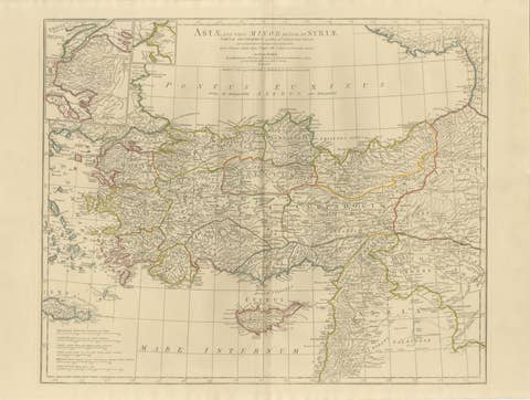
Antique Map of Asia Minor & the Levant – Anatolia, Syria & Cyprus, c.1818
1818 · € 1 100
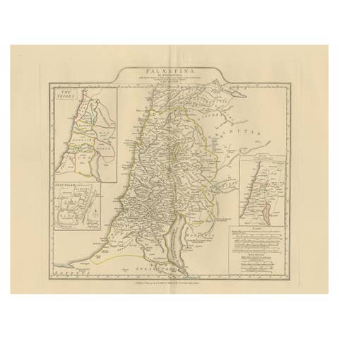
Antique Map of Biblical Palestine – Holy Land & Jerusalem Insets, c.1818
1818 · € 1 100
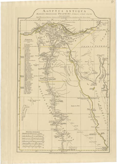
Antique Map of Ancient Egypt – Nile Valley & Red Sea, Engraving c.1818
1818 · € 580
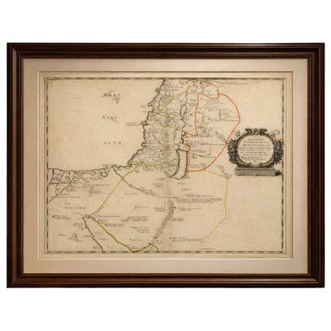
Antique Map Holy Land & Jerusalem — Patriarchatus Hierosolymitani, c1652
€ 380
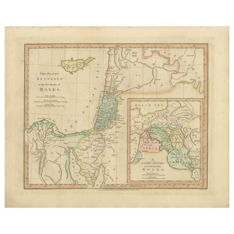
Places Recorded in the Five Books of Moses — Biblical Holy Land Map, 1827
1827 · € 330
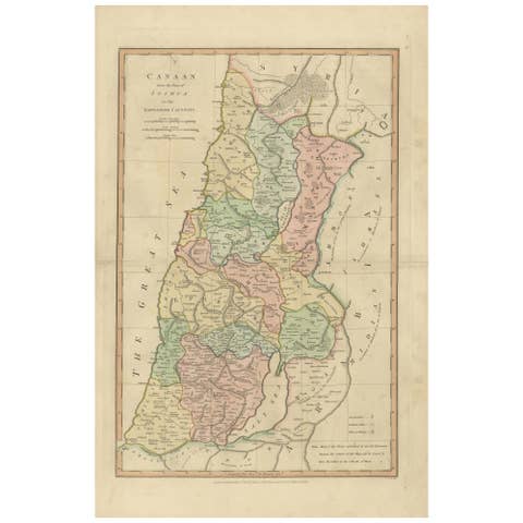
Canaan from Joshua to the Babylonian Captivity — Biblical Holy Land Map, 1823
1823 · € 360
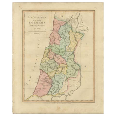
The Purveyorships in the Reign of Solomon — Biblical Map of Ancient Israel, 1798
1798 · € 310
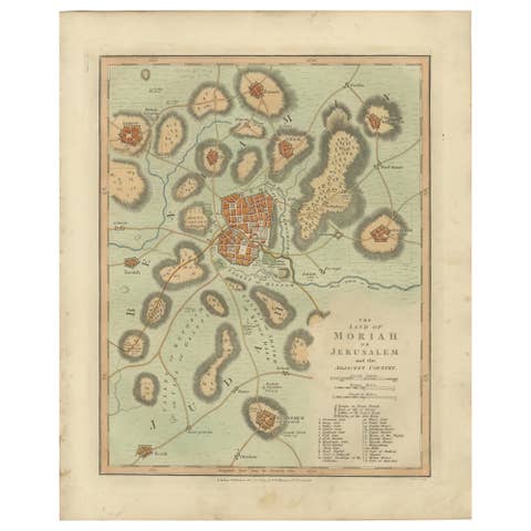
The Land of Moriah or Jerusalem & the Adjacent Country — Biblical City Map, 1814
1814 · € 310
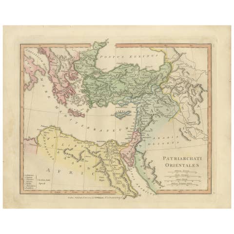
Patriarchati Orientales — Early Christian Patriarchates Map, Wilkinson 1822
1822 · € 320

Rare 16th Century Map of the Holy Land and Palestine by Matthias Quad, ca.1599
1599 · € 689
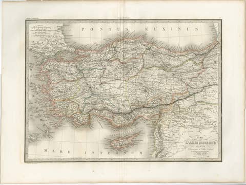
Antique Map Asia Minor Turkey Levant, Lapie 1838 – Hand Colored Engraving
1838 · € 399
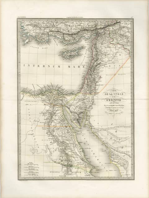
Antique Map of Syria, Egypt and the Nile Delta – Lapie, 1838
1838 · € 499
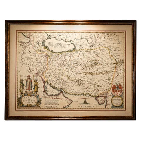
Blaeu Map of Persia, Caspian Sea & Arabia, Hand Colored, c.1642
1642 · € 5 750

Sanson & Schenk Biblical Map of the Twelve Tribes of Israel, circa 1700
1700 · € 1 650
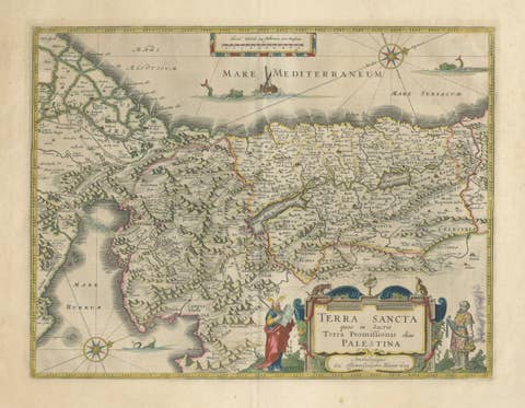
Antique Blaeu Holy Land Map – Terra Sancta Palestina, 1629
1629 · € 3 450
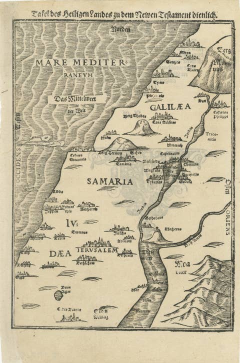
Rare 16th Century Holy Land Woodcut Map by Heinrich Bünting, circa 1581
1581 · € 1 150
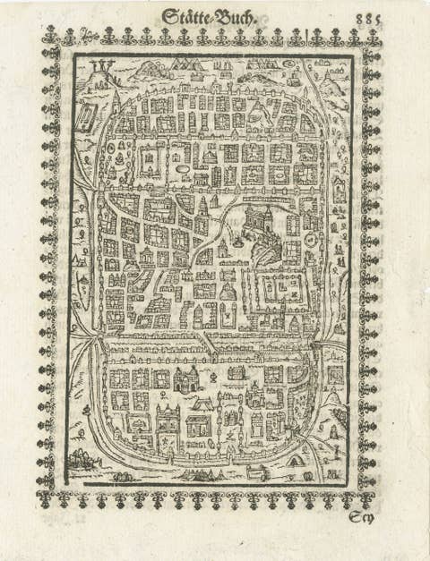
17th Century Woodcut Map of Jerusalem from Abraham Saur’s Städte-Buch, 1658
1658 · € 1 190
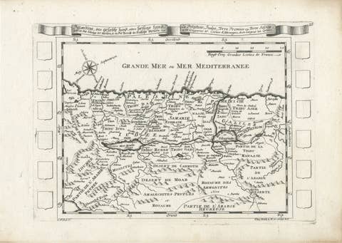
Antique Map of the Holy Land Palestine & Jerusalem, Elias Baeck ca. 1700
1700 · € 360
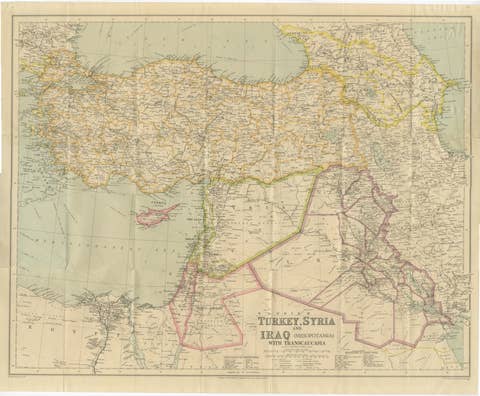
Philips' Imperial Map of Turkey, Syria, Iraq & Transcaucasia, c.1926
1926 · € 590
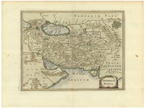
Antique Map of Persia and the Safavid Empire by Cluver and Jansson, 1676
1676 · € 475