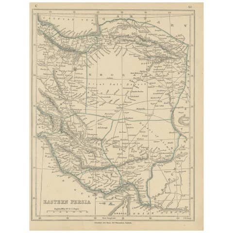
Antique Asia Minor Map by Tallis with Rhodes and Olympus Vignettes, circa 1851
€ 595
Original antique · The actual sheet photographed · Certificate of authenticity on request · Sold unframed · Worldwide shipping from € 15 (rates)
Date
circa 1851
Mapmaker / artist
John Rapkin, illustrations by H. Warren engraved by J. B. Allen
Publisher
J. and F. Tallis, London and New York
Technique
Steel Engraving
Colouring
Partial original colour
Condition
Good
Reference
BG-14279-36
Condition
Good condition for its age. Light toning with a few small marks to the margins; pencil numbers in the upper right margin. The image is clean. Please review the images for further condition details.
About this sheet
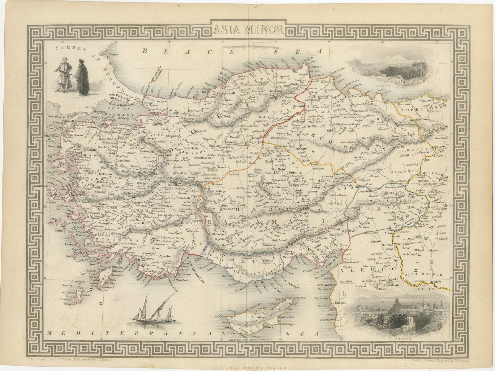
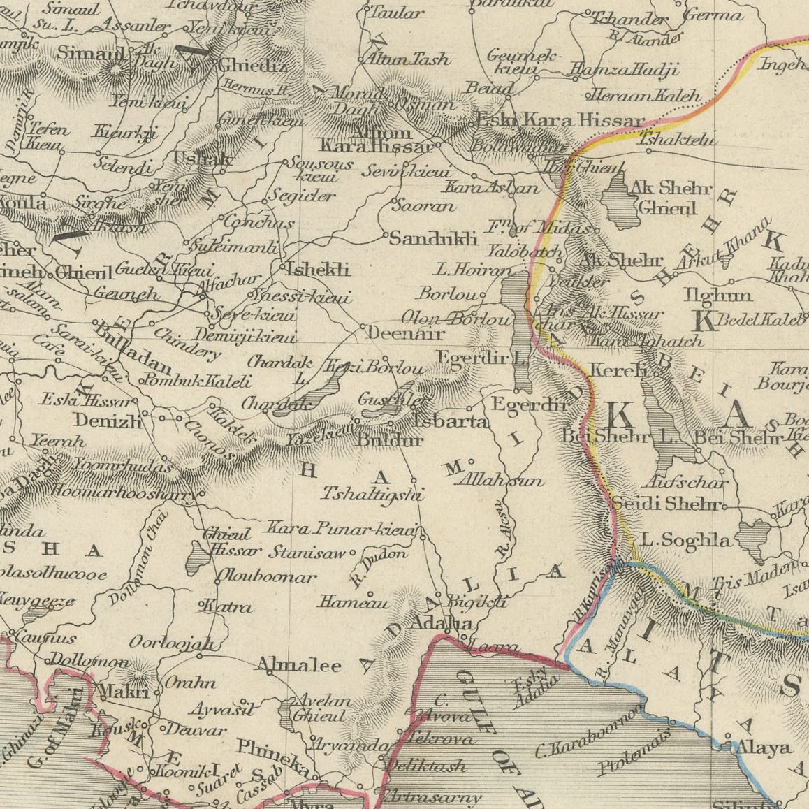
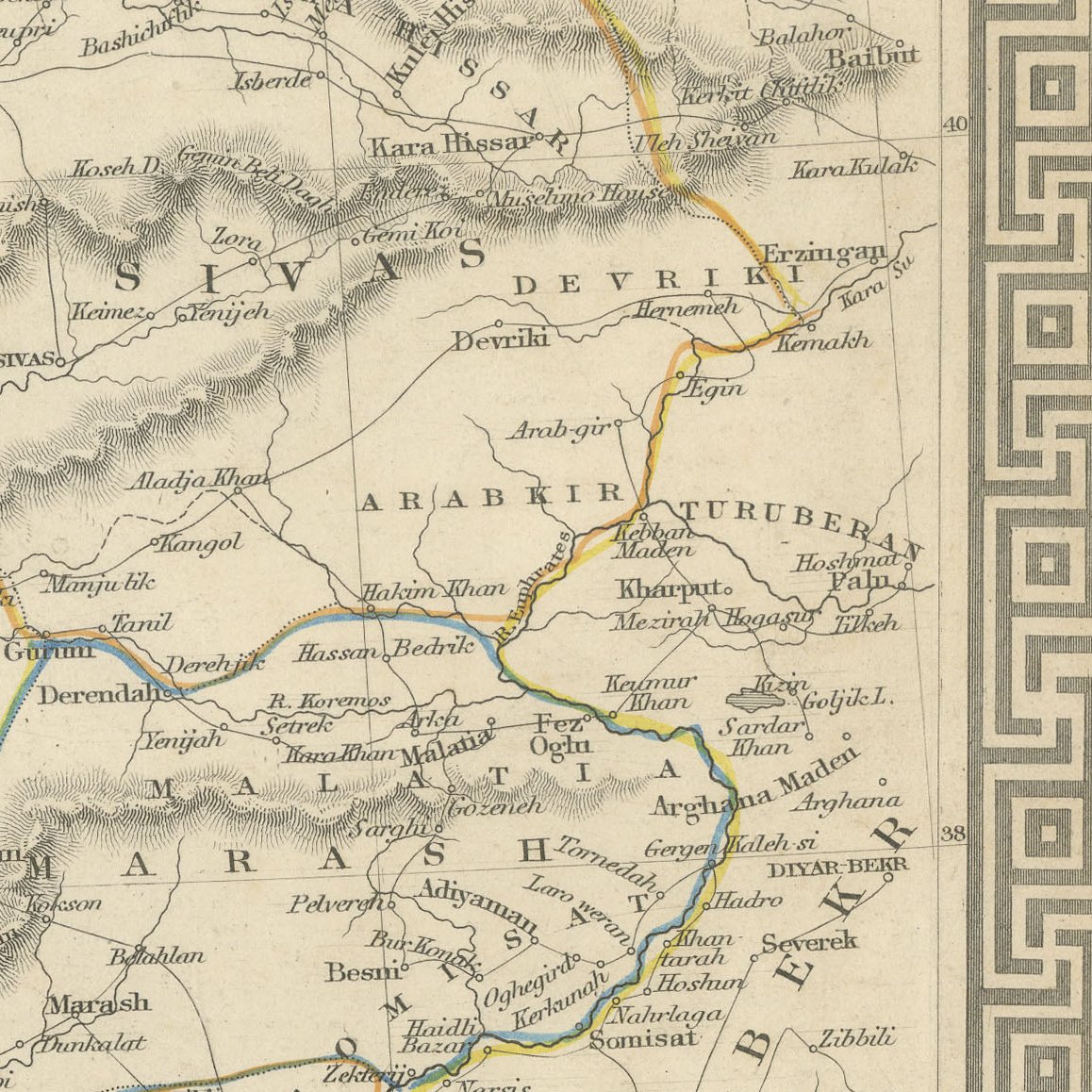
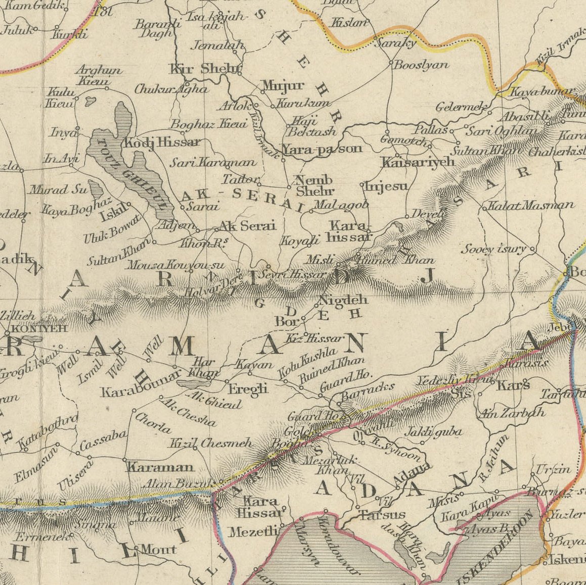
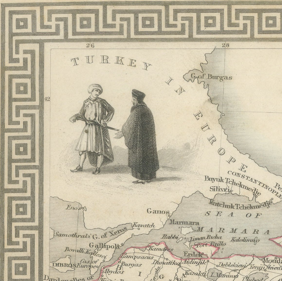
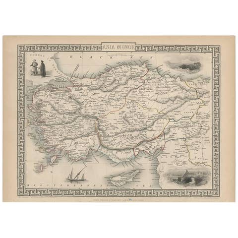
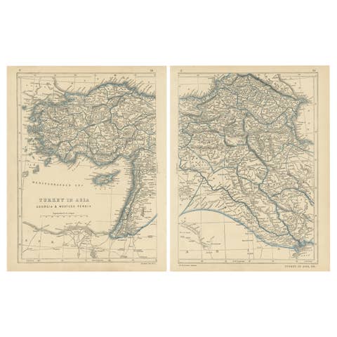
This antique map of Asia Minor was drawn and engraved by John Rapkin and published by J. and F. Tallis of London and New York around 1851. It is framed by a bold Greek key border and decorated with vignettes drawn by H. Warren and engraved by J. B. Allen.
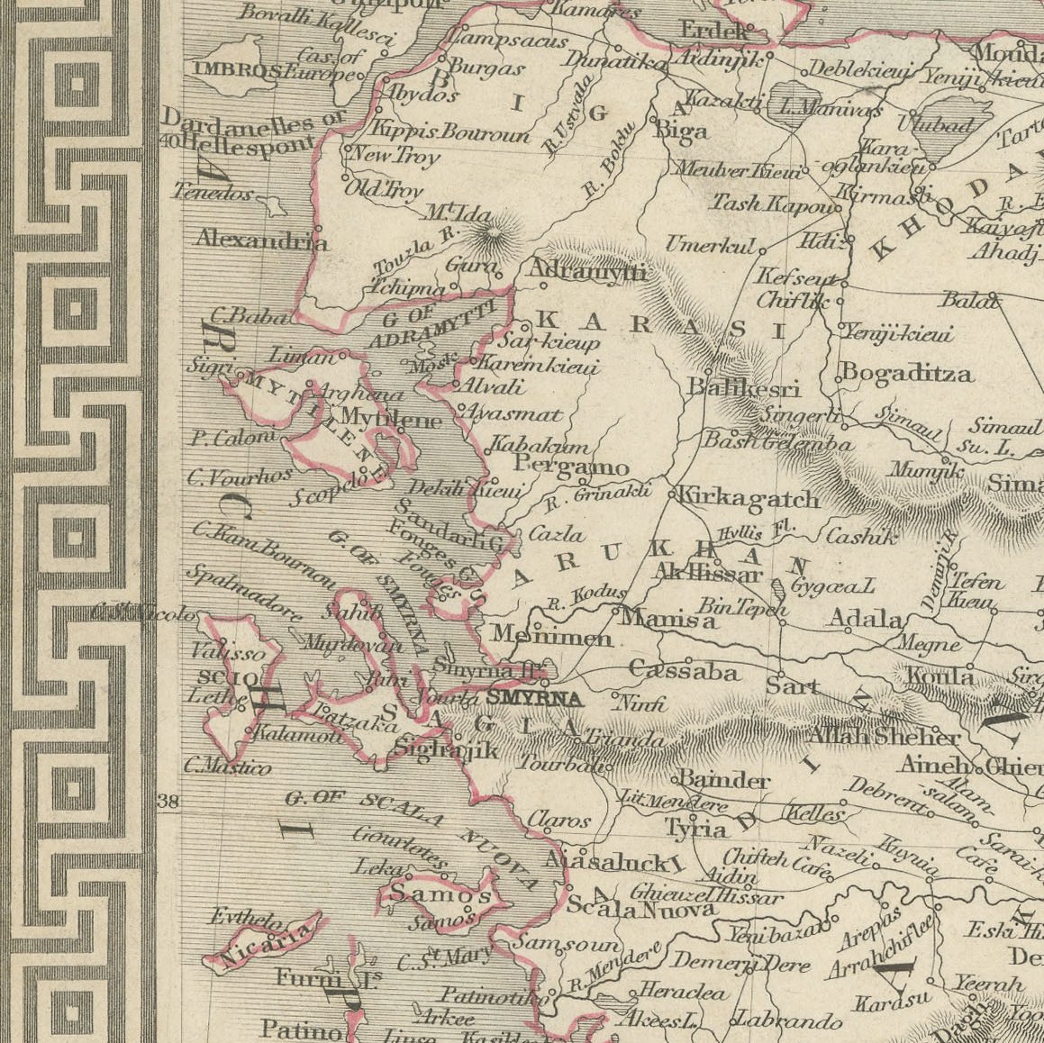
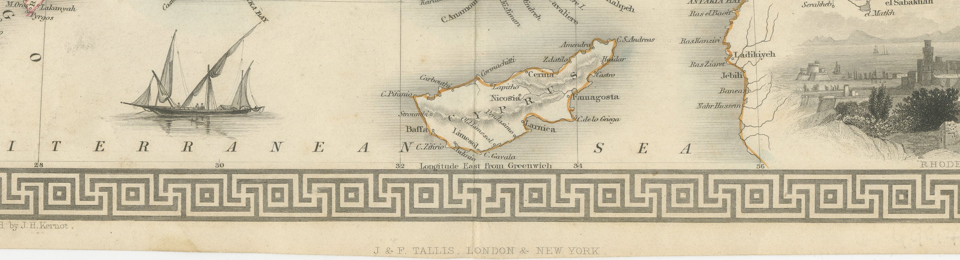
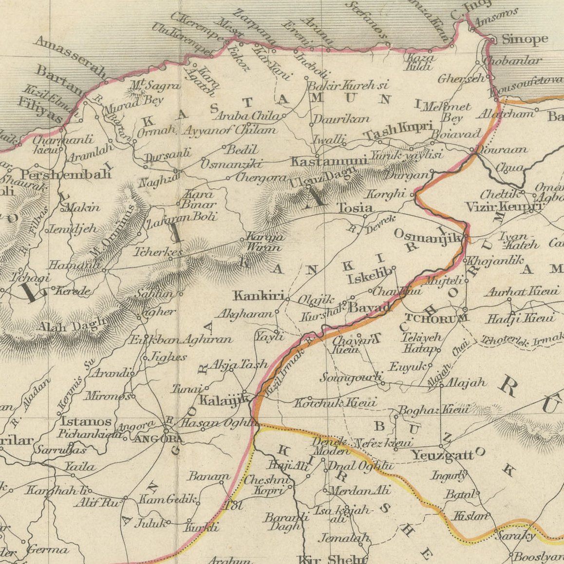
Four vignettes enliven the sheet: two figures in Turkish dress at upper left, a view of Mount Olympus at upper right, a view of Rhodes at lower right and a lateen rigged sailing vessel in the Mediterranean. The map itself shows Anatolia and Cyprus in fine detail, from Constantinople and Scutari to Aleppo and Diarbekir, with the provinces outlined in colour.
The maps drawn and engraved by John Rapkin for John Tallis and Company are among the most decorative of the Victorian age. Each was framed by an ornamental border and, in the first issues, enriched with small vignettes by Henry Warren and others. The plates were reissued in several forms during the 1850s, including by the London Printing and Publishing Company. This is the first issue style, with the vignettes present and outline colour that appears to be original.
Tallis maps are among the most decorative of the nineteenth century, and this one makes a striking focal point in a study, hallway or library. Beyond its decorative appeal, a map of this kind records the place names, routes and political divisions known to travellers, merchants and scholars of its day, which gives it lasting value as a historical document.
The sheet is in good condition for its age, with light toning, a few small marks and pencil numbers in the upper margin; the image is clean and crisp.
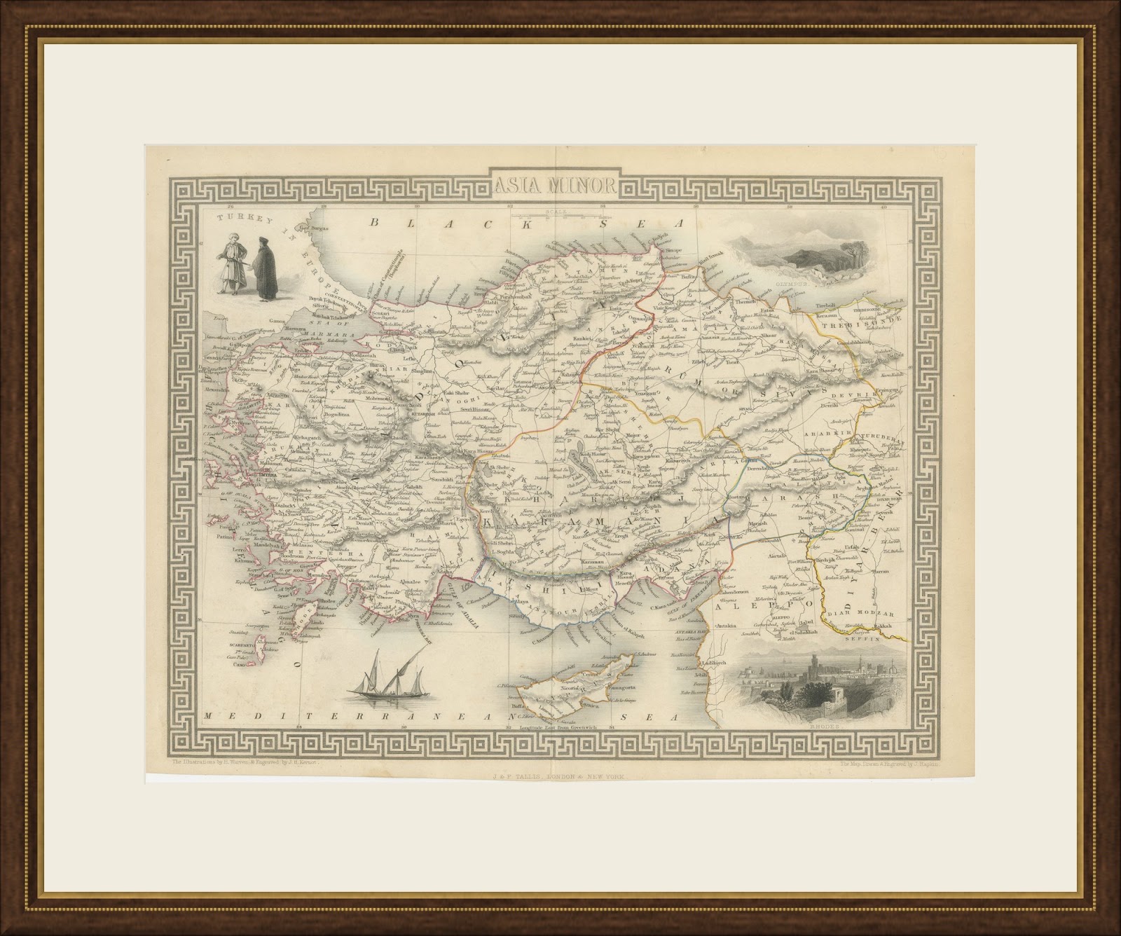
This is an original antique map, not a modern reproduction. This item is sold unframed. Any framed or interior images are shown for presentation and inspiration only, unless the listing explicitly states that the item is sold framed.