About this sheet
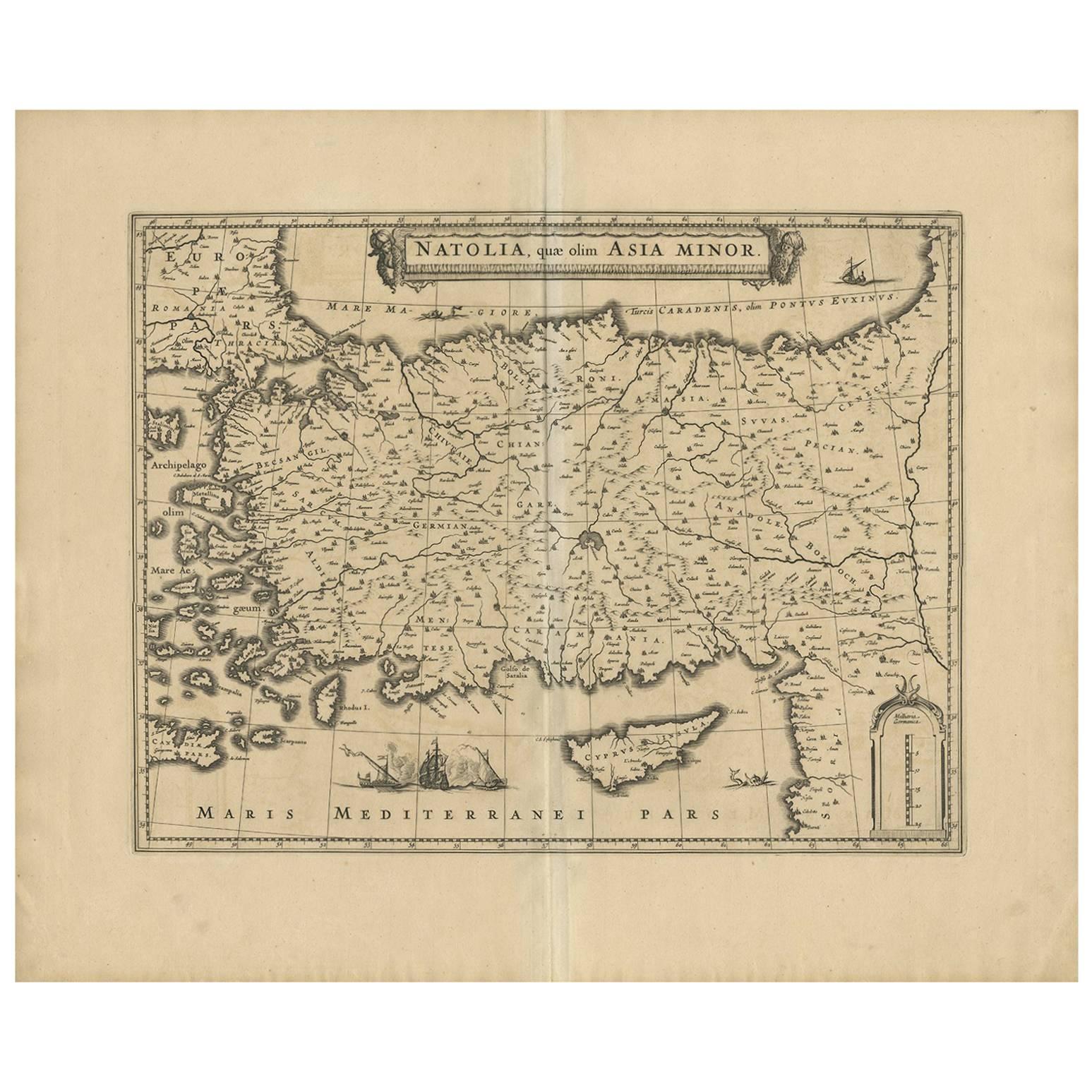
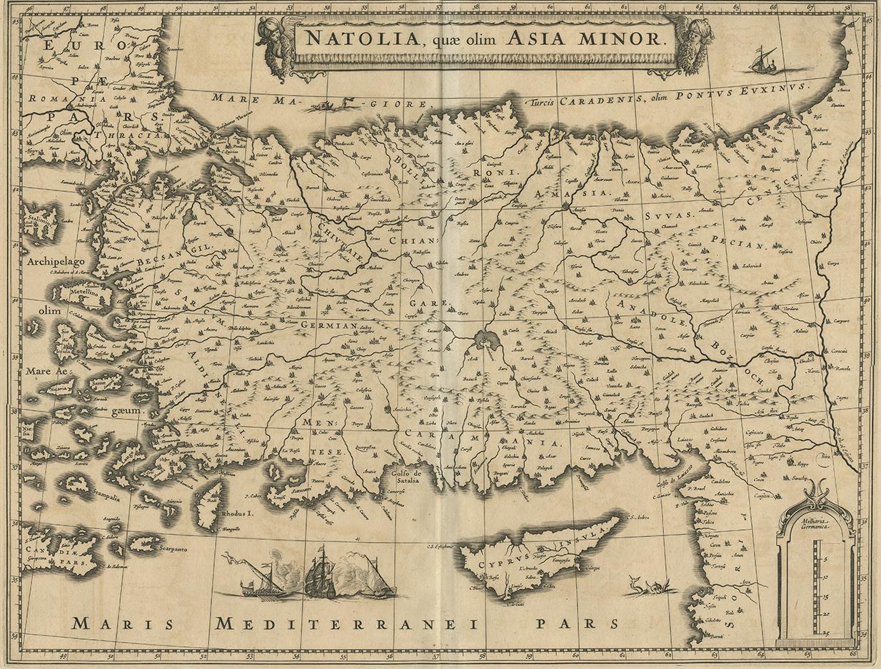
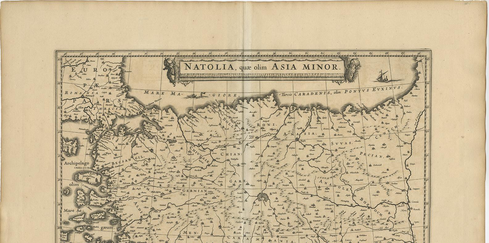
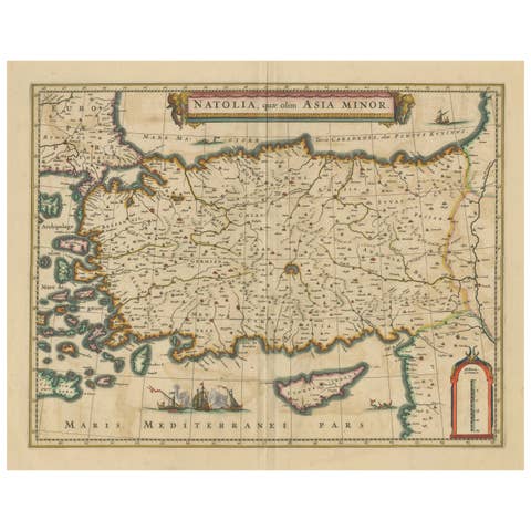
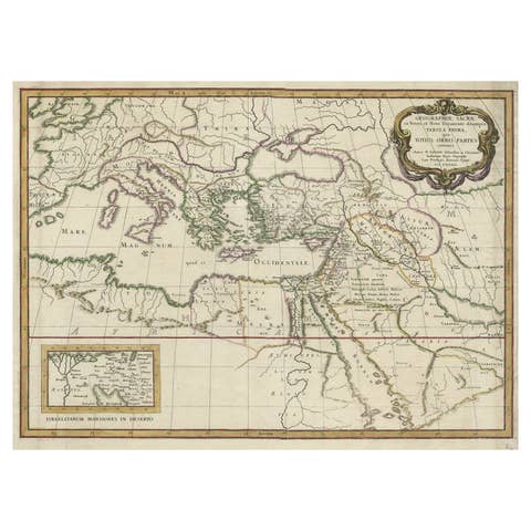
Natolia, quae olim Asia Minor – Antique Map of Anatolia by Janssonius, ca. 1650
This finely engraved 17th-century map titled “Natolia, quae olim Asia Minor” presents the region of Anatolia, now modern-day Turkey, as it was understood in antiquity. Produced by Johannes Janssonius around 1650, it is a quintessential example of Dutch Golden Age cartography, offering a detailed depiction of the ancient provinces of Asia Minor, a key region in both the classical and biblical worlds.
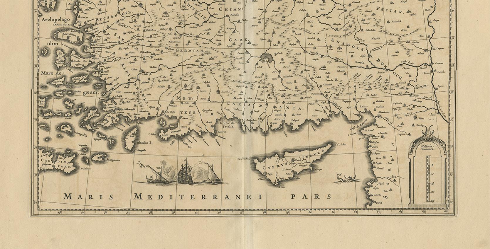
The map covers the area from the Aegean Sea in the west to the Euphrates River in the east, and from the Black Sea in the north to the island of Cyprus and the eastern Mediterranean. Ancient regions such as Lydia, Lycia, Pamphylia, Cilicia, Cappadocia, Phrygia, and Bithynia are all prominently labeled, and many classical cities are marked, including Ephesus, Tarsus, Antioch, and Iconium.
The decorative elements are typical of the period and include an ornate title cartouche in the upper center, with allegorical figures and putti, and a scale bar in the lower right corner. At the bottom left is a charming vignette of Mediterranean sailing vessels and sea monsters, adding visual appeal to the scholarly content.
Janssonius, a major Amsterdam-based map publisher and a contemporary of Blaeu, issued this map as part of his *Atlas Novus*. Maps from this series are known for their clarity, classical references, and balanced aesthetics, making them popular with collectors of antique maps, especially those focused on the classical world, biblical history, or Ottoman territories.
This is a superb collector’s piece for those interested in classical geography or early representations of the Ottoman Empire's western provinces. Its historical significance and decorative charm make it ideal for display.
Condition: Good impression with a strong plate mark. Centerfold as issued, light overall age toning, and minor wear to the edges. No tears or repairs. Clean and well-preserved for its age.
Framing tips: A dark walnut or aged gold frame with an ivory or parchment-colored mat enhances the classical appeal. Consider museum glass to protect the print and reduce glare.
Technique: Copper engraving
Maker: Johannes Janssonius, Amsterdam, circa 1650