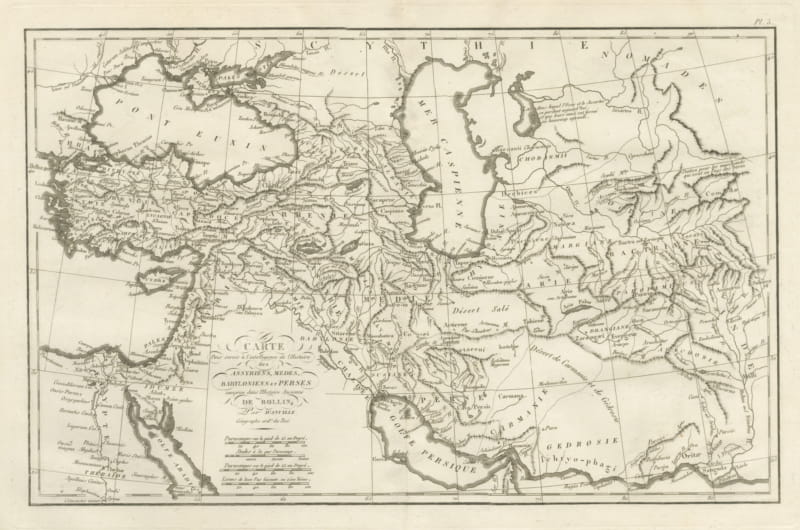
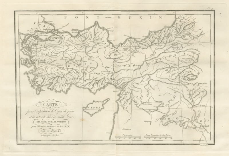
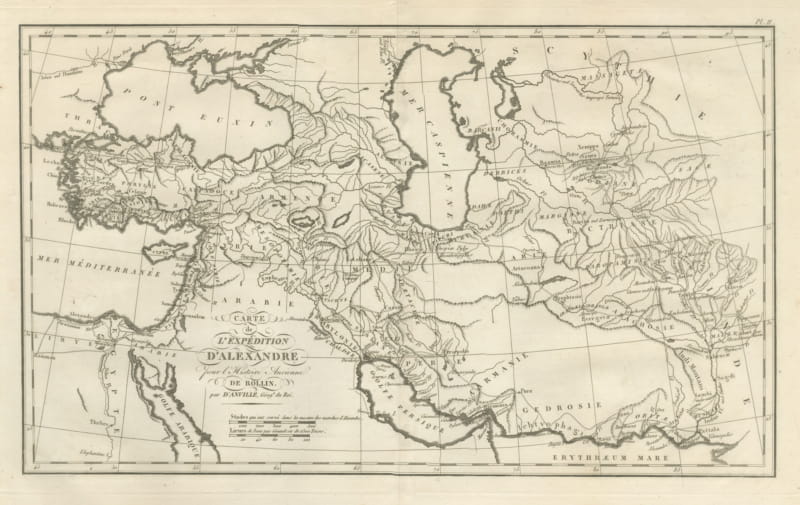
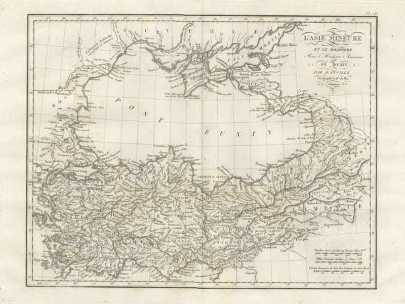
About this sheet
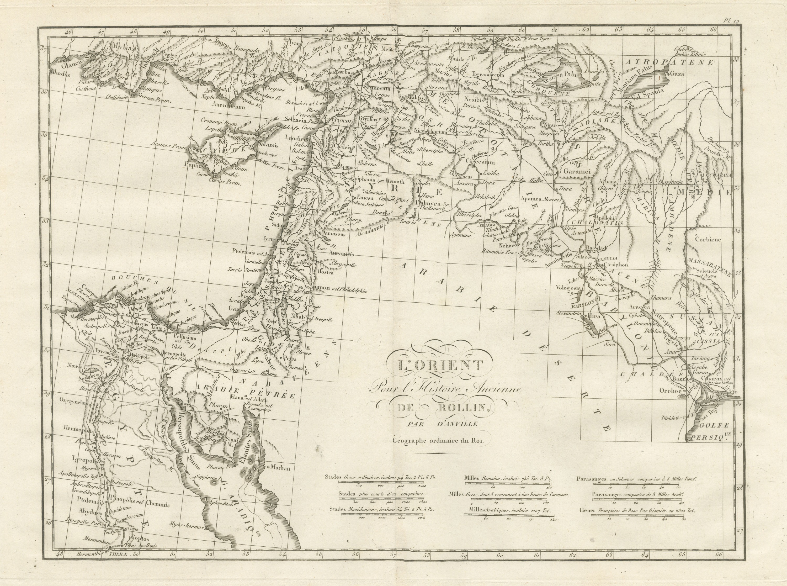
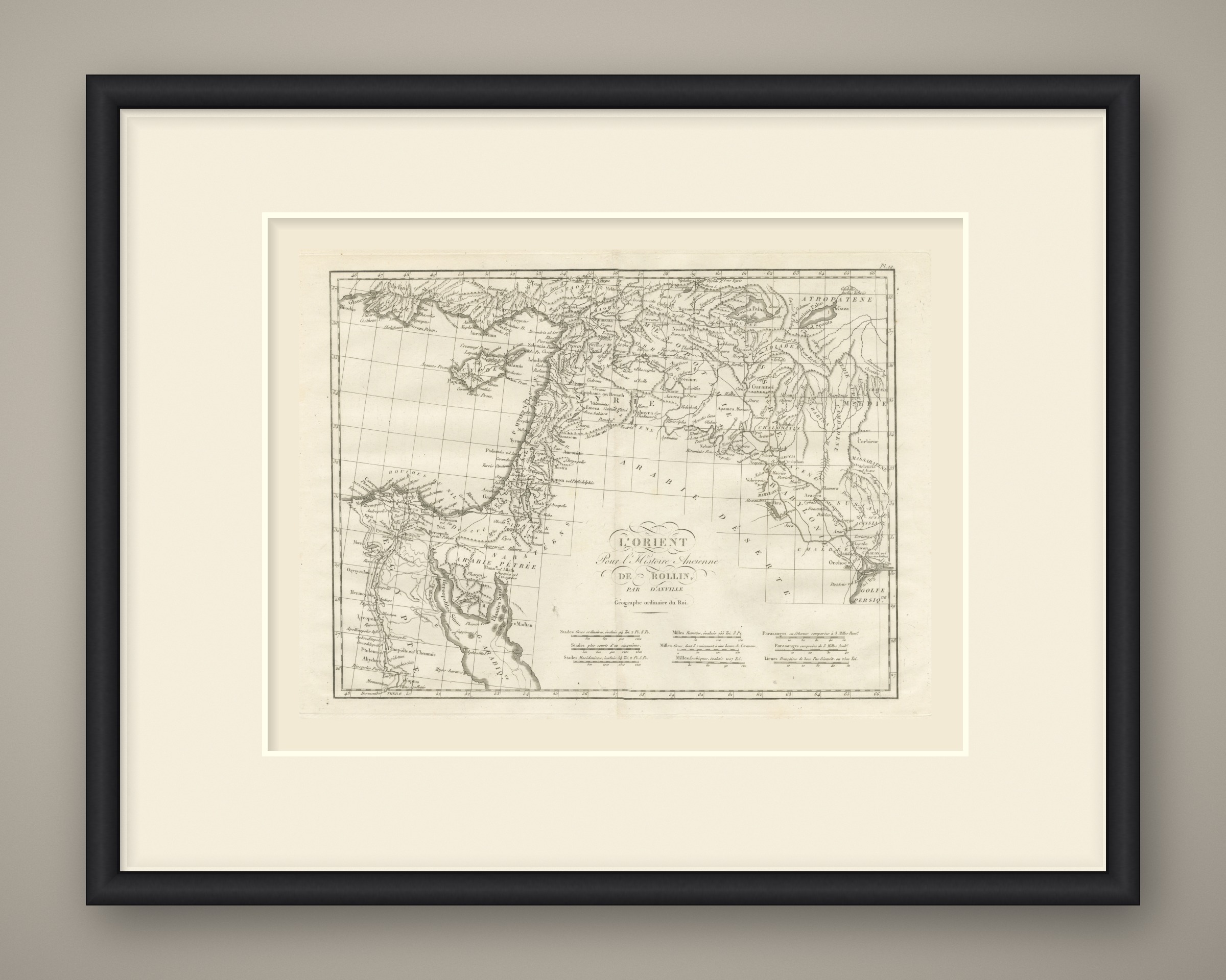
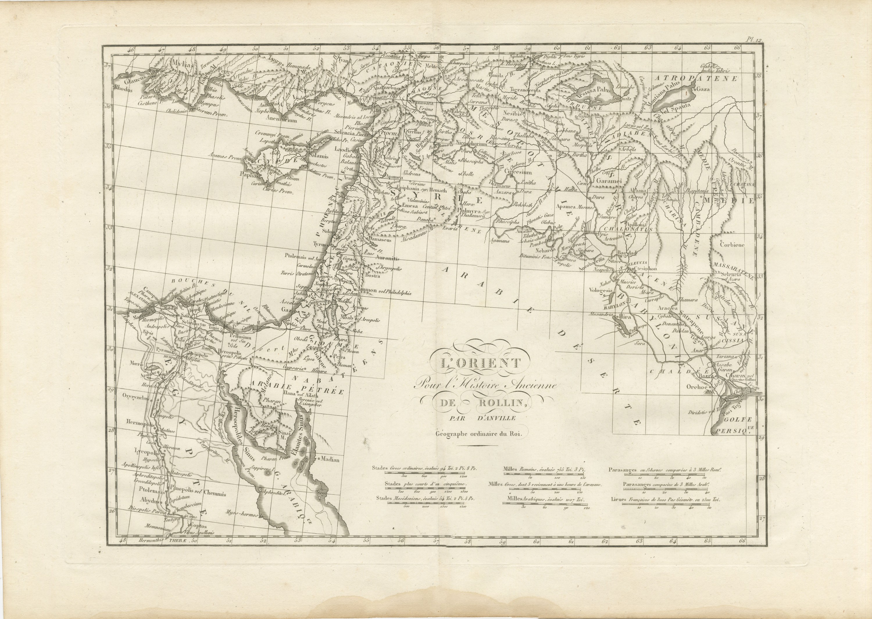
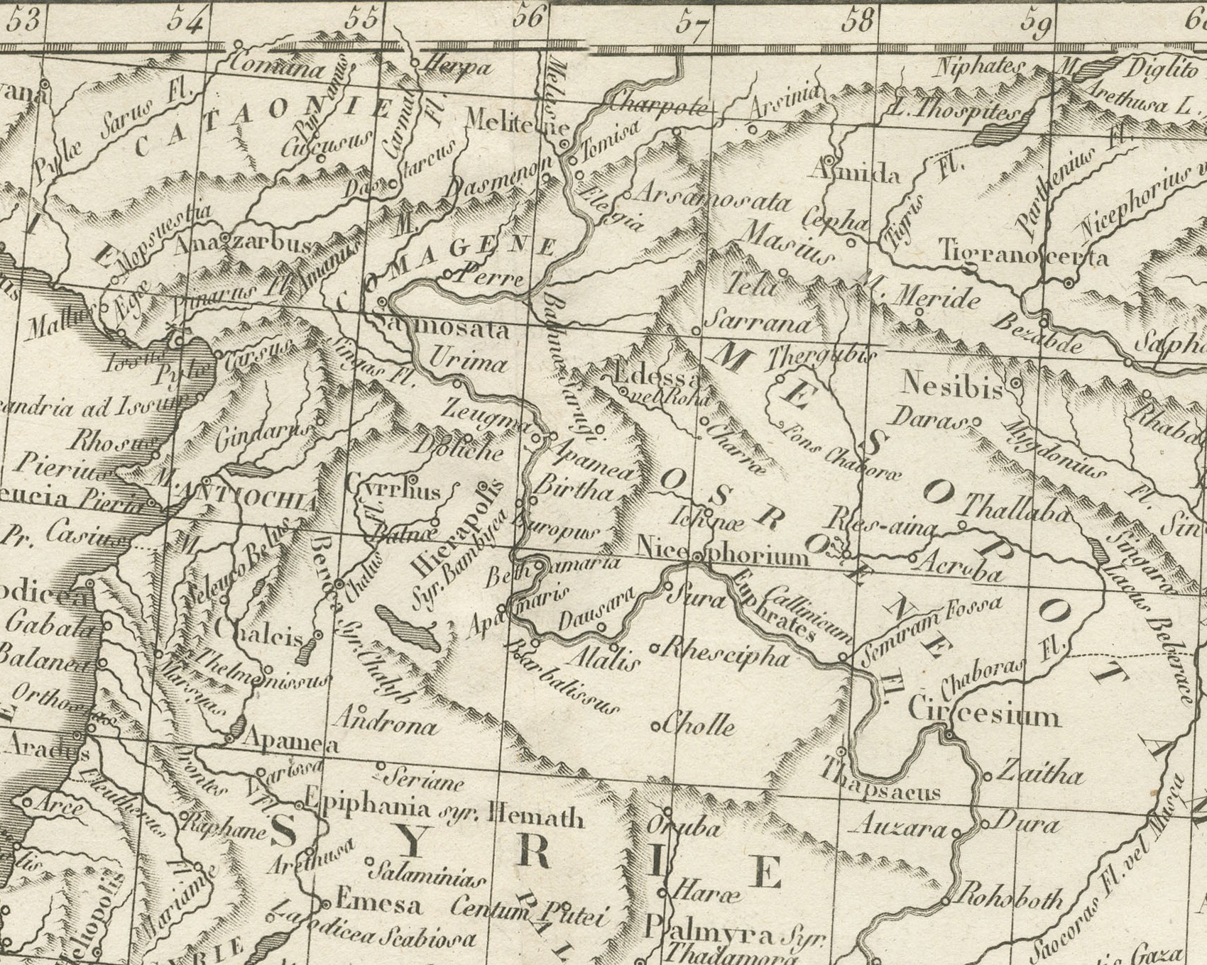
An original copper engraved map, uncolored, of the ancient East from Egypt to Mesopotamia. It covers the Nile from the delta south to Thebae, Sinai and Arabia Petraea, Phoenicia, Judaea and Syria, Cyprus, and Mesopotamia east to Media, Susiana and the head of the Persian Gulf. The seven mouths of the Nile are named under the heading Bouches du Nil, and Alexandria, Memphis, Heliopolis and Abydus lie along the river. Along the Levant are Tyrus, Sidon, Damascus and Palmyra, with Antiochia in the north; Petra lies in Arabia Petraea; and across Mesopotamia Ninus, Arbela, Babylon, Seleucia and Ctesiphon are placed, with Ecbatana in Media. A dotted track crosses the desert from Arsinoe toward Raphia.
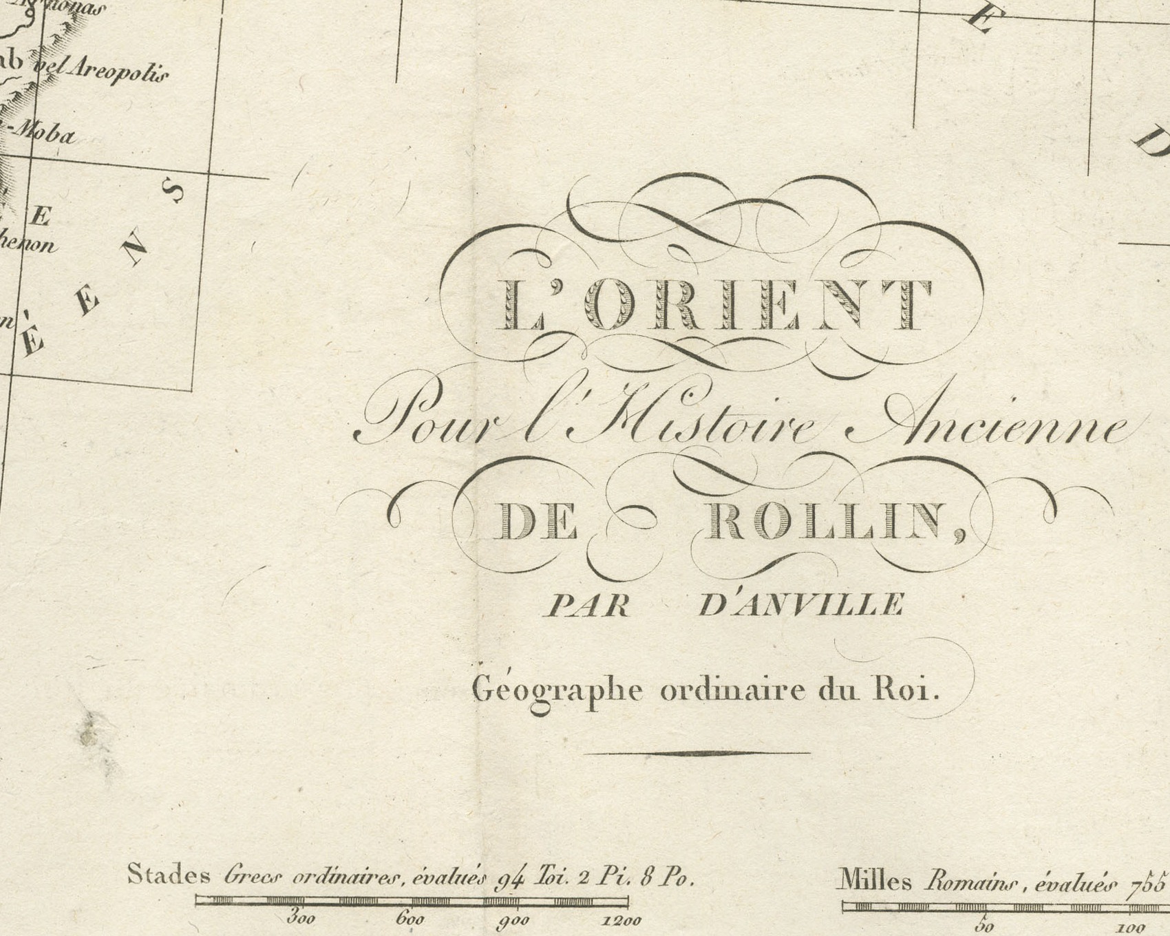
The cartouche reads L'Orient pour l'Histoire Ancienne de Rollin, par d'Anville, Géographe ordinaire du Roi. The plate is numbered Pl. 12 above the upper right corner of the border. Nine scale bars are set in three columns below the cartouche, among them Stades Grecs ordinaires, évalués 94 Toi. 2 Pi. 8 Po., Stades Macédoniens, Milles Romains, Milles Grecs, dont 3 reviennent à une heure de Caravane, Milles Arabiques, two scales of Parasanges and Lieues Françaises. A light center fold runs through the double sheet.
The plate comes from the Atlas de Géographie Ancienne, published in Paris in 1818 by Ledoux et Tenré and printed by Didot le jeune to accompany the works of Charles Rollin (1661 to 1741), the French historian, author of the Histoire ancienne and the Histoire romaine. Its maps are engraved after the originals of Jean-Baptiste Bourguignon d'Anville (1697 to 1782). In the foreword, signed by Ambroise Tardieu, géographe-graveur, Tardieu writes that the maps were copied with religious fidelity and that, charged with reviewing the proofs, he corrected only negligences and faults of execution. The map serves Rollin's chapters on the Egyptians, Assyrians, Babylonians and Persians.
Condition: Light uneven toning, browner toward the edges. Marked handling soiling along the bottom, right and top edges. Foxing over much of the margin. Complete sheet, all four corners present. Minor edge wear, shallow nicks along the left. A pale brown tide line runs along the lower margin.
This is an original antique map, not a modern reproduction. This item is sold unframed. Any framed or interior images are shown for presentation and inspiration only, unless the listing explicitly states that the item is sold framed.