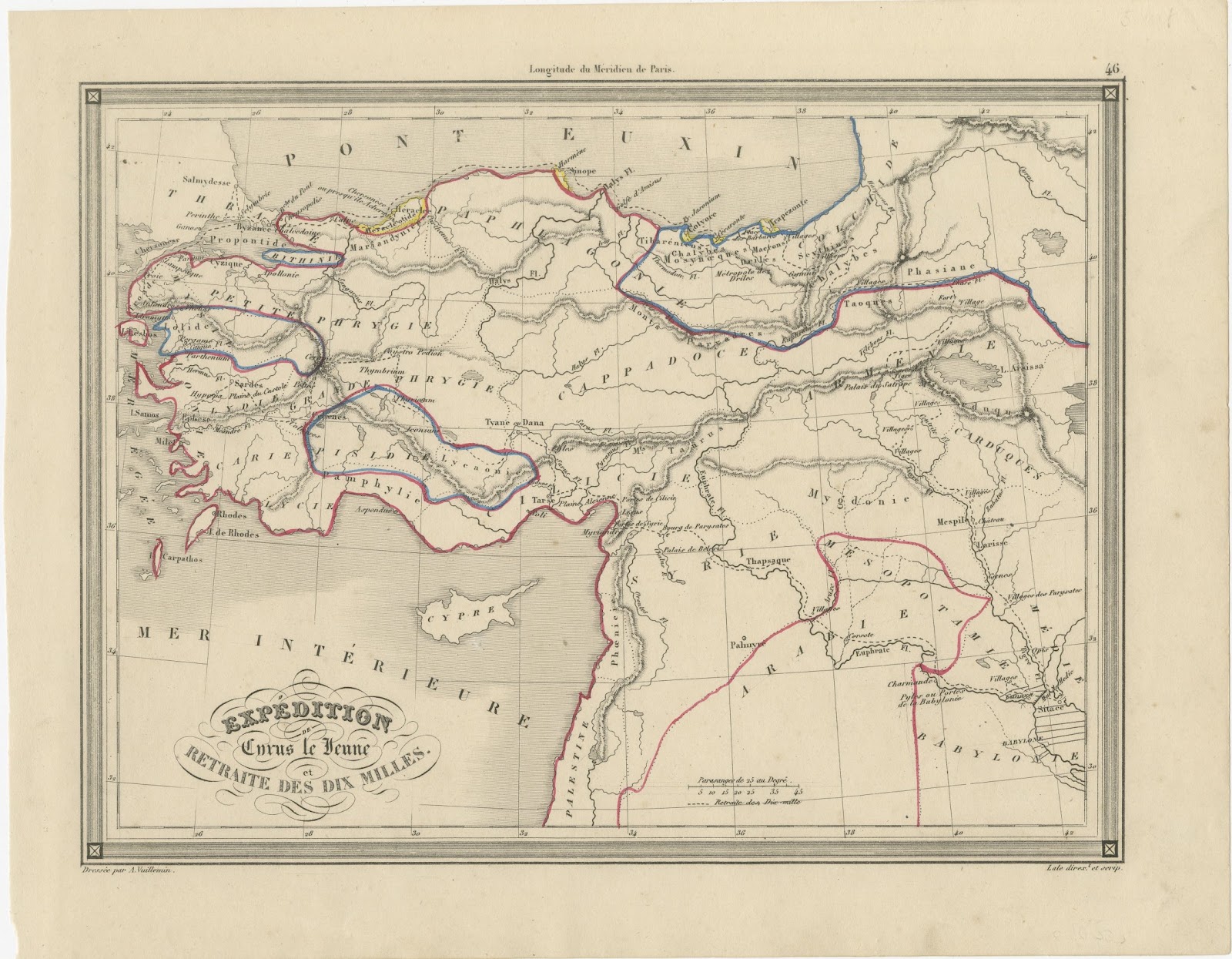
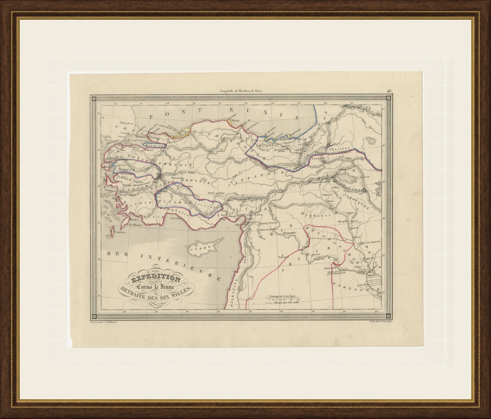
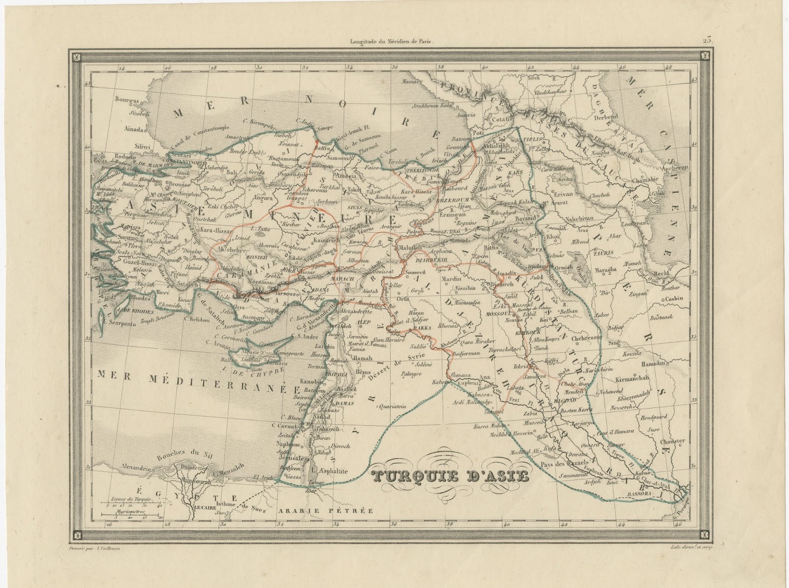
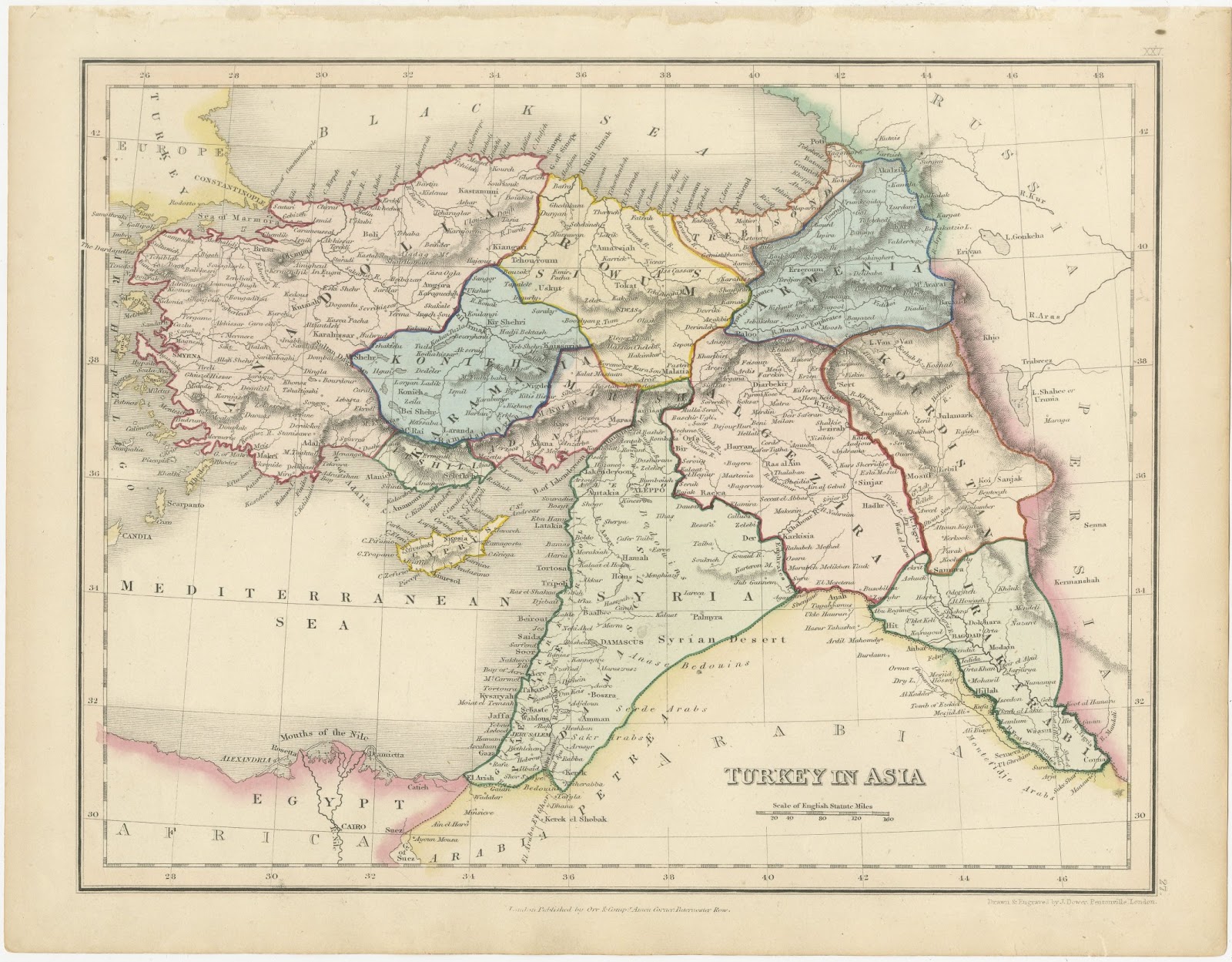
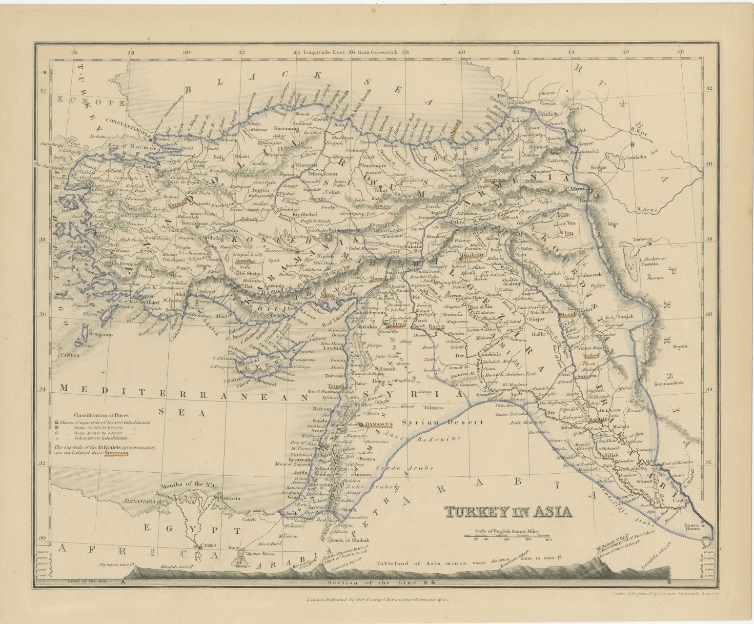
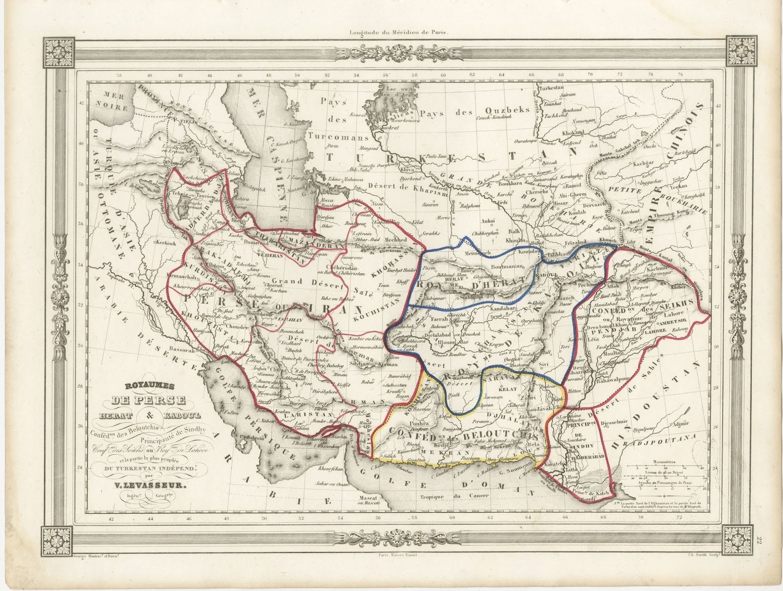
Antique Map of the March of the Ten Thousand, Xenophon Anabasis, circa 1845
€ 225
Original antique · The actual sheet photographed · Certificate of authenticity on request · Sold unframed · Worldwide shipping from € 15 (rates)
Date
circa 1845-1850
Mapmaker / artist
Alexandre Vuillemin, engraved by Lale
Publisher
Paris
Technique
Steel Engraving
Colouring
Partial original colour
Condition
Good
Reference
BG-14279-29
Condition
Good condition for its age. Light toning with scattered small spots; faint pencil notes in the upper right margin and a slightly uneven lower left edge. Please review the images for further condition details.
About this sheet
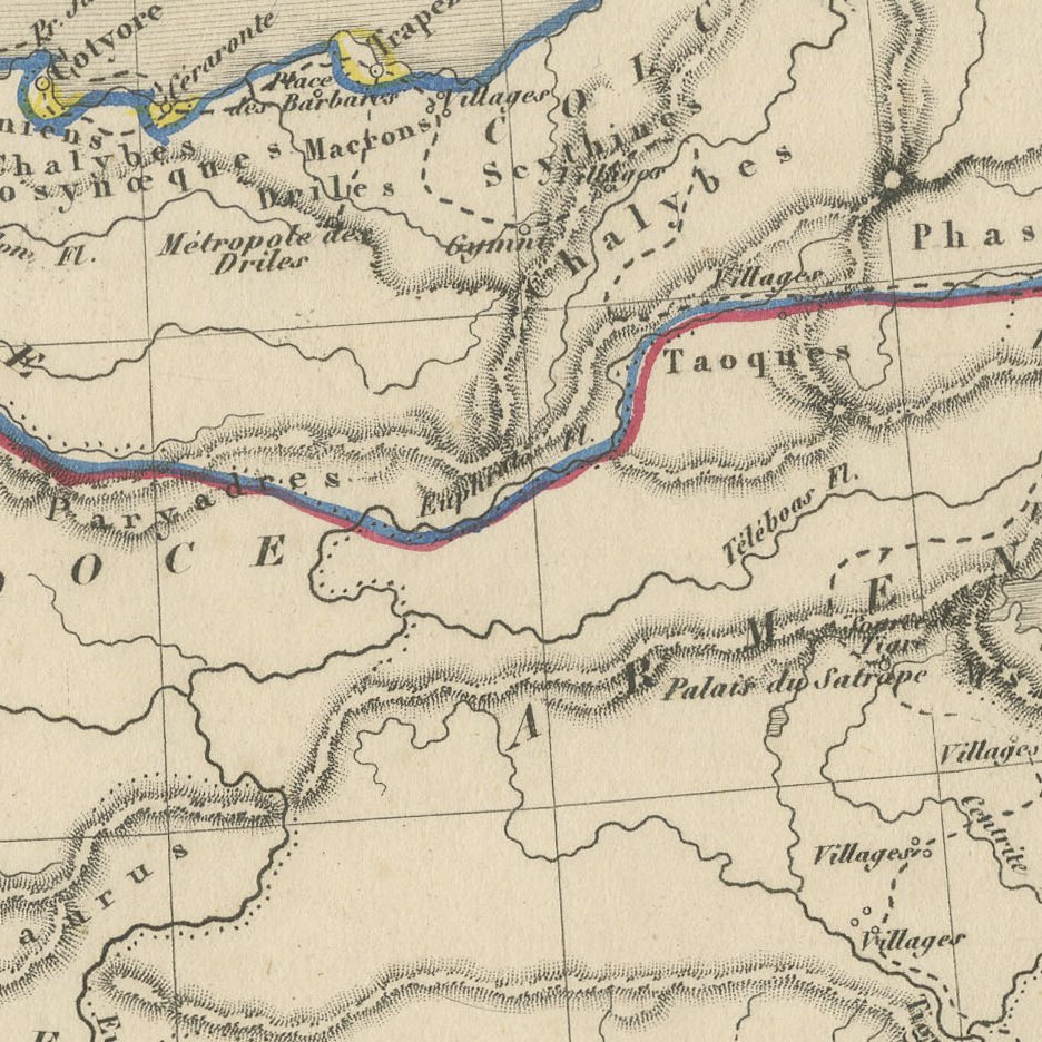
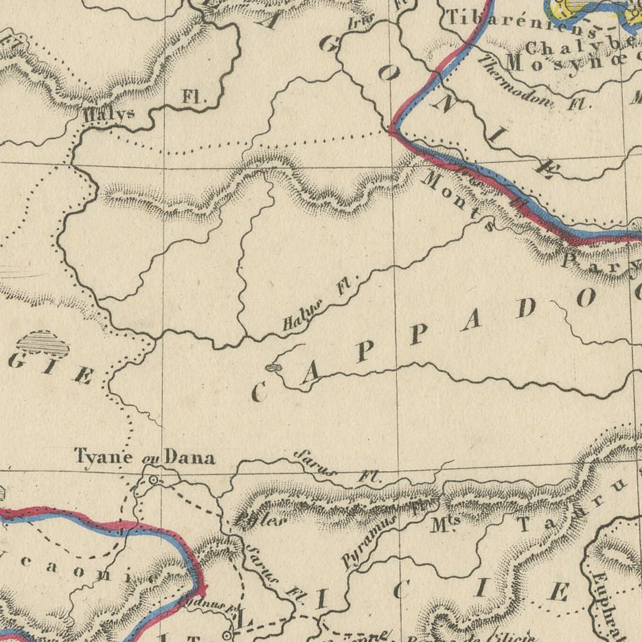
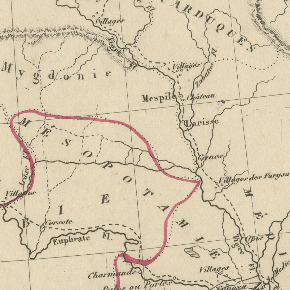
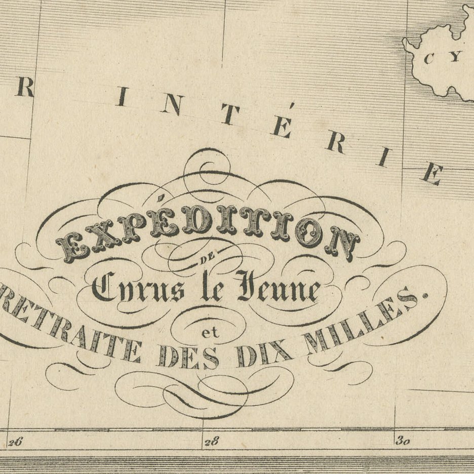
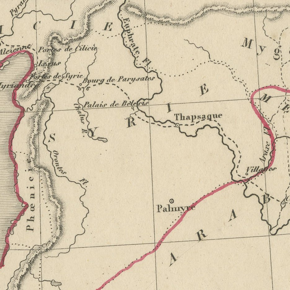
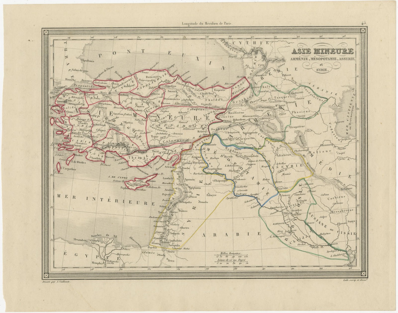
This antique map illustrates the Expédition de Cyrus le Jeune et Retraite des Dix Mille, the campaign recorded by Xenophon in his Anabasis, and was drawn by Alexandre Vuillemin for his atlas published in Paris in the 1840s. It is plate 46, engraved by Lale.
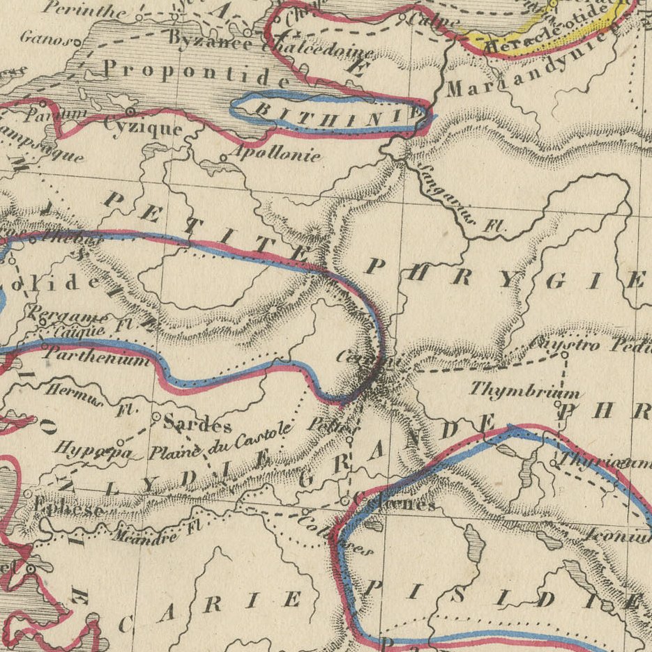
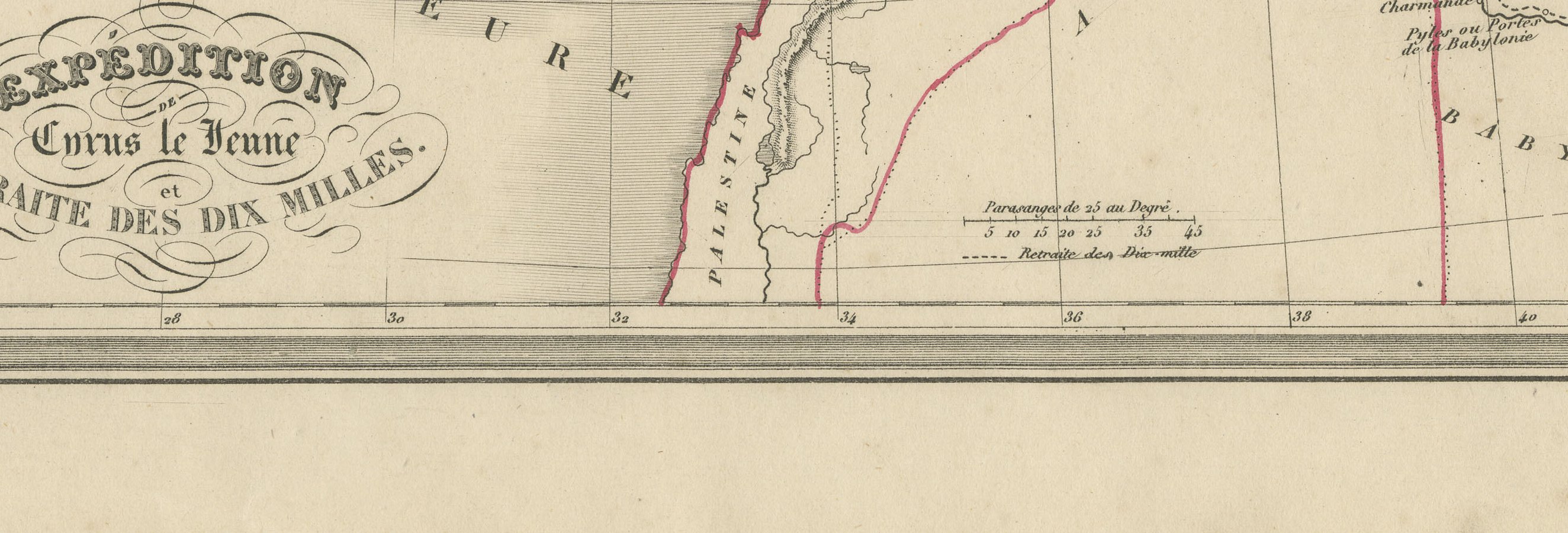
A dotted line traces the route of the Greek mercenaries from Sardes across Phrygia and Cilicia to Babylonia, where Cyrus fell at Cunaxa, and then their famous retreat north through the mountains of Kurdistan and Armenia to Trapezus on the Pont Euxin. Regions such as Cappadoce, Mygdonie, Mésopotamie and Babylonie are named, and the key identifies the route as Retraite des Dix Mille beside a scale of Parasanges.
Alexandre Vuillemin was a prolific Parisian geographer of the middle of the nineteenth century, and his atlases of ancient and modern geography were widely used in French schools and homes. The maps are finely engraved, framed by a neat decorative border, and signed Dressé par A. Vuillemin at the lower left, with the engraver Lale credited at the lower right. The outline colour on this example appears to be original to the period.
It is an attractive and well detailed map at an accessible price, ideal for framing on its own or as part of a group of nineteenth century maps of the region. Beyond its decorative appeal, a map of this kind records the place names, routes and political divisions known to travellers, merchants and scholars of its day, which gives it lasting value as a historical document.
The sheet is in good condition for its age, with light toning, a few small spots and faint pencil notes in the upper margin; the image is clean.
This is an original antique map, not a modern reproduction. This item is sold unframed. Any framed or interior images are shown for presentation and inspiration only, unless the listing explicitly states that the item is sold framed.