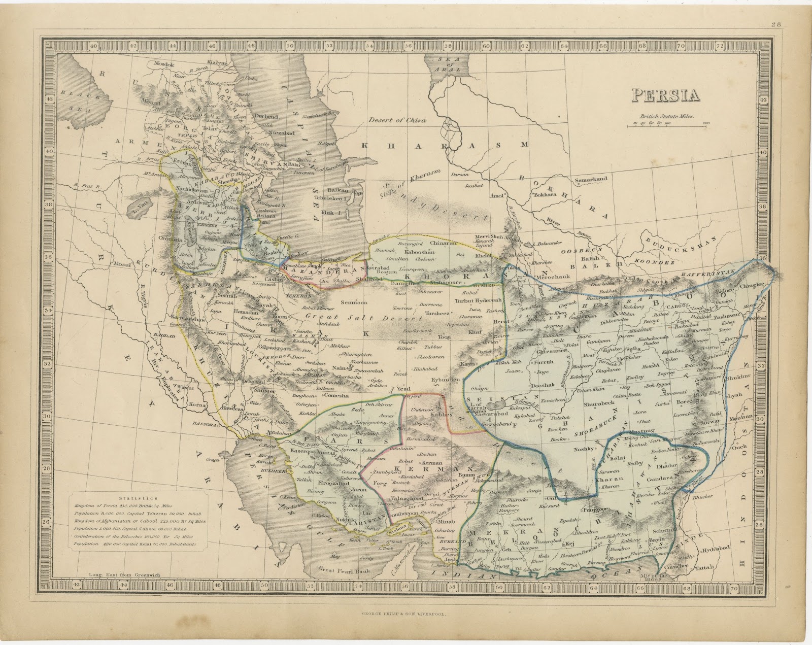
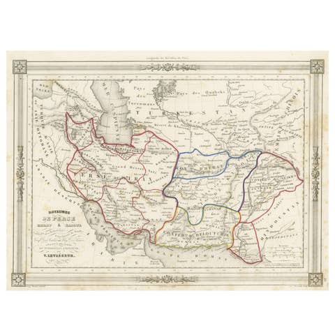
Antique Map of Persia and Afghanistan with Statistics, Philip, circa 1856
€ 245
Original antique · The actual sheet photographed · Certificate of authenticity on request · Sold unframed · Worldwide shipping from € 15 (rates)
Date
circa 1856
Mapmaker / artist
George Philip and Son
Publisher
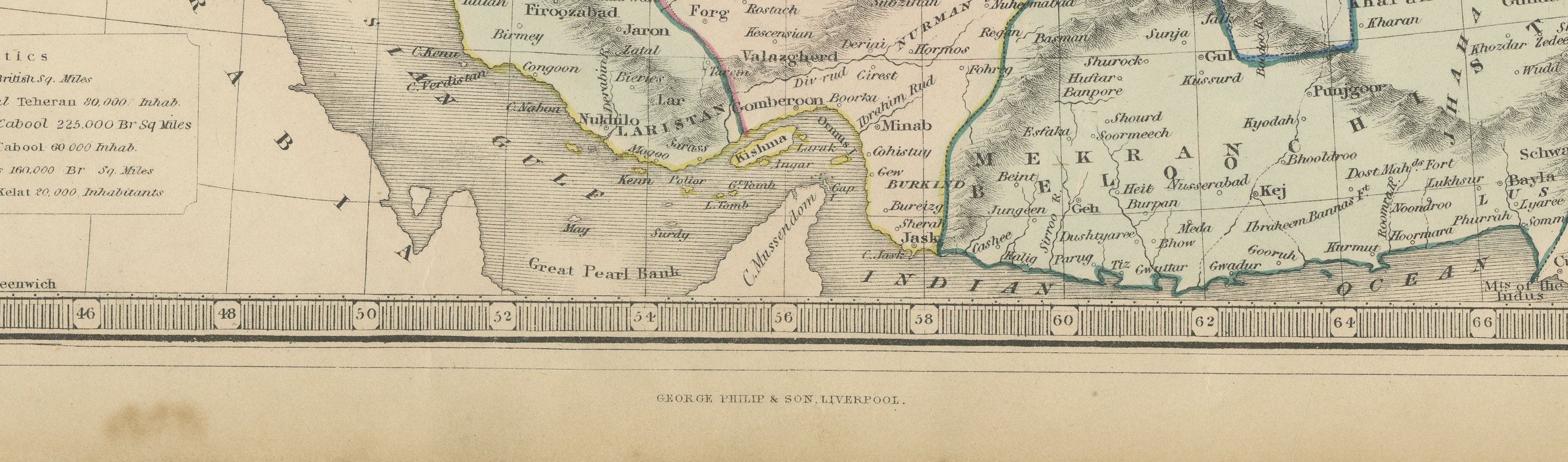
George Philip and Son, Liverpool
Technique
Steel Engraving
Colouring
Partial original colour
Condition
Good
Reference
BG-14279-53
Condition
Good condition for its age. Light toning with light soiling to the margins, a small spot in the lower right margin and some softening at the edges. Please review the images for further condition details.
About this sheet
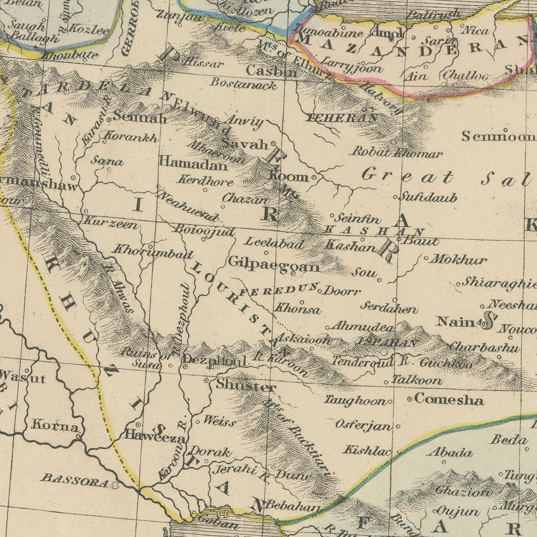
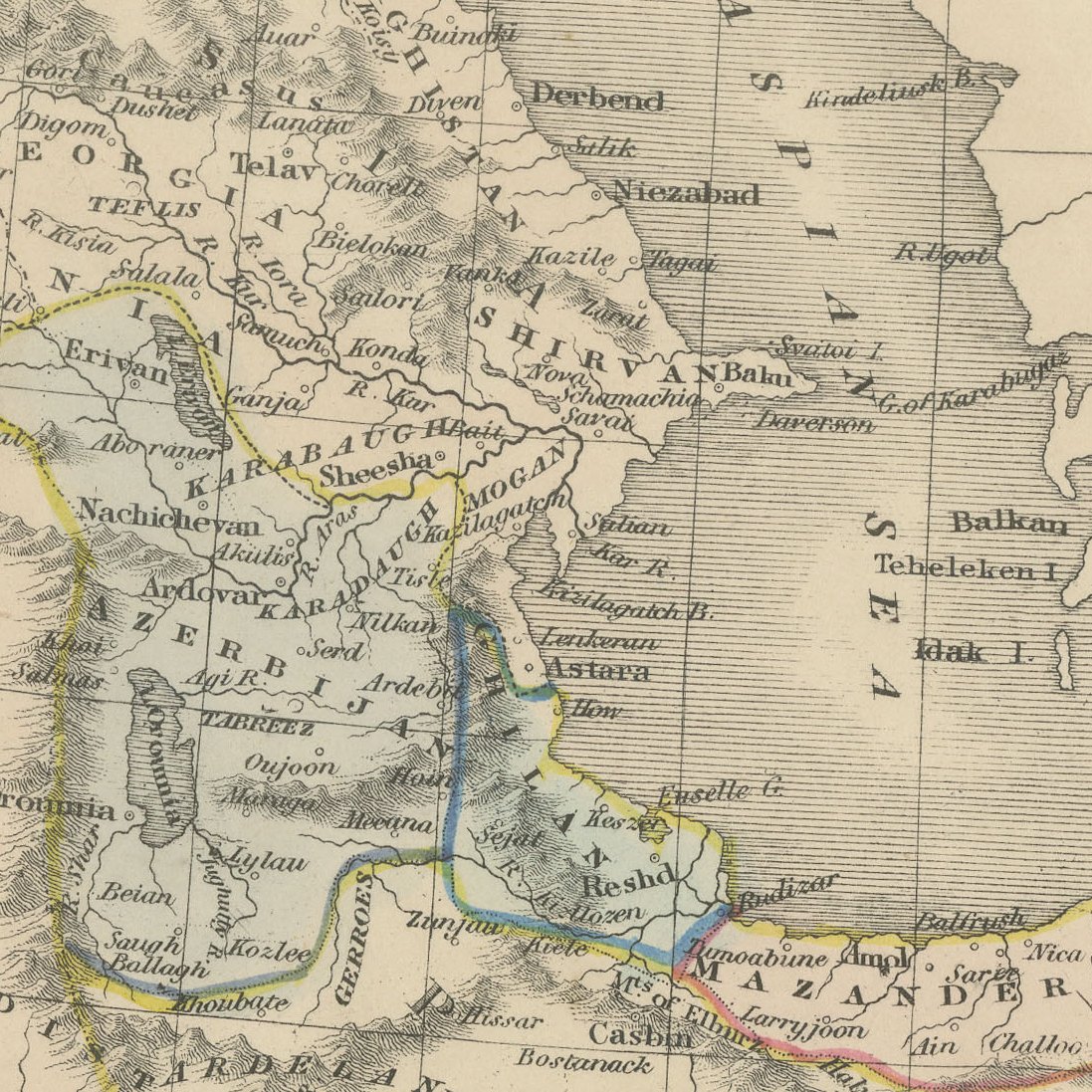
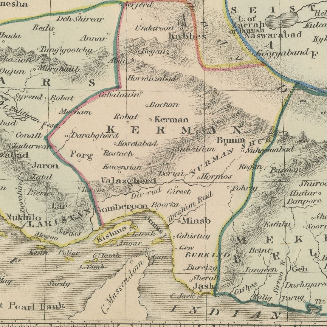
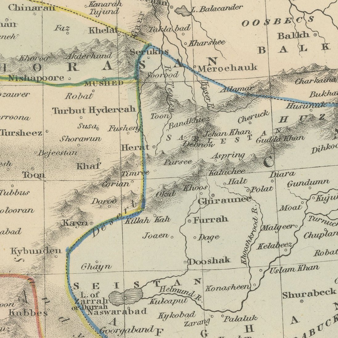
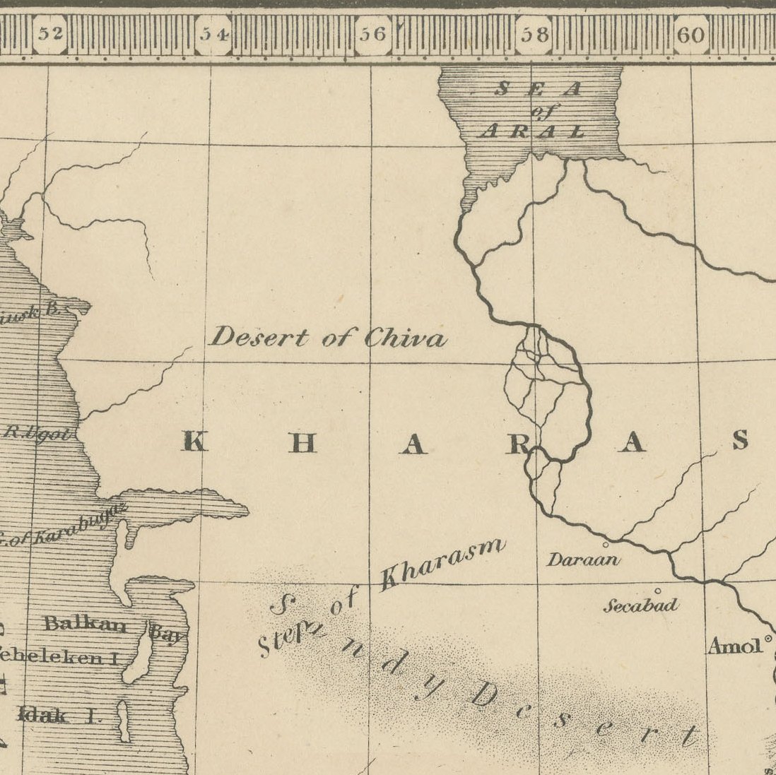
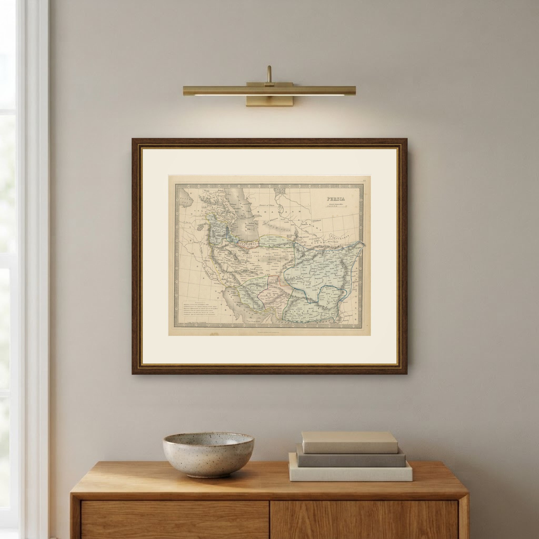
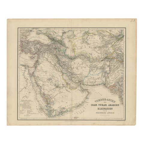
This antique map of Persia was published by George Philip and Son of Liverpool in the middle of the nineteenth century. It shows Persia together with Afghanistan, or Cabool, and the Confederation of the Beloochees, and it is numbered 28 in the upper right corner.
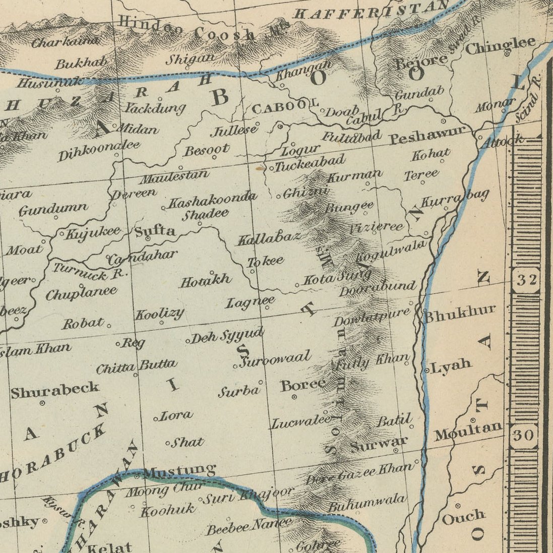
A statistics panel at lower left gives the areas, populations and capitals of the Kingdom of Persia, the Kingdom of Afghanistan and the Confederation of the Beloochees, with Teheran, Cabool and Kelat as their capitals. The map runs from the Caucasus and the Caspian to the Persian Gulf and the Indian Ocean, naming Ispahan, Shiraz, Herat, Candahar, Bokhara and Samarkand, and the frontiers are outlined in colour within a graduated decorative border.
George Philip and Son, founded in Liverpool and later established in London, became one of the principal British map publishers of the nineteenth century, producing atlases for schools, families and commerce. Their maps are clear and practical, with careful attention to the political boundaries and trade routes of the period. The Liverpool imprint places this sheet in the earlier years of the firm.
With its statistical table and clear outline colour, this is an informative Victorian map of Iran and Afghanistan that frames well in a study or office. Beyond its decorative appeal, a map of this kind records the place names, routes and political divisions known to travellers, merchants and scholars of its day, which gives it lasting value as a historical document.
The sheet is in good condition for its age, with light toning, light marginal soiling and slightly softened edges; the image is clean.
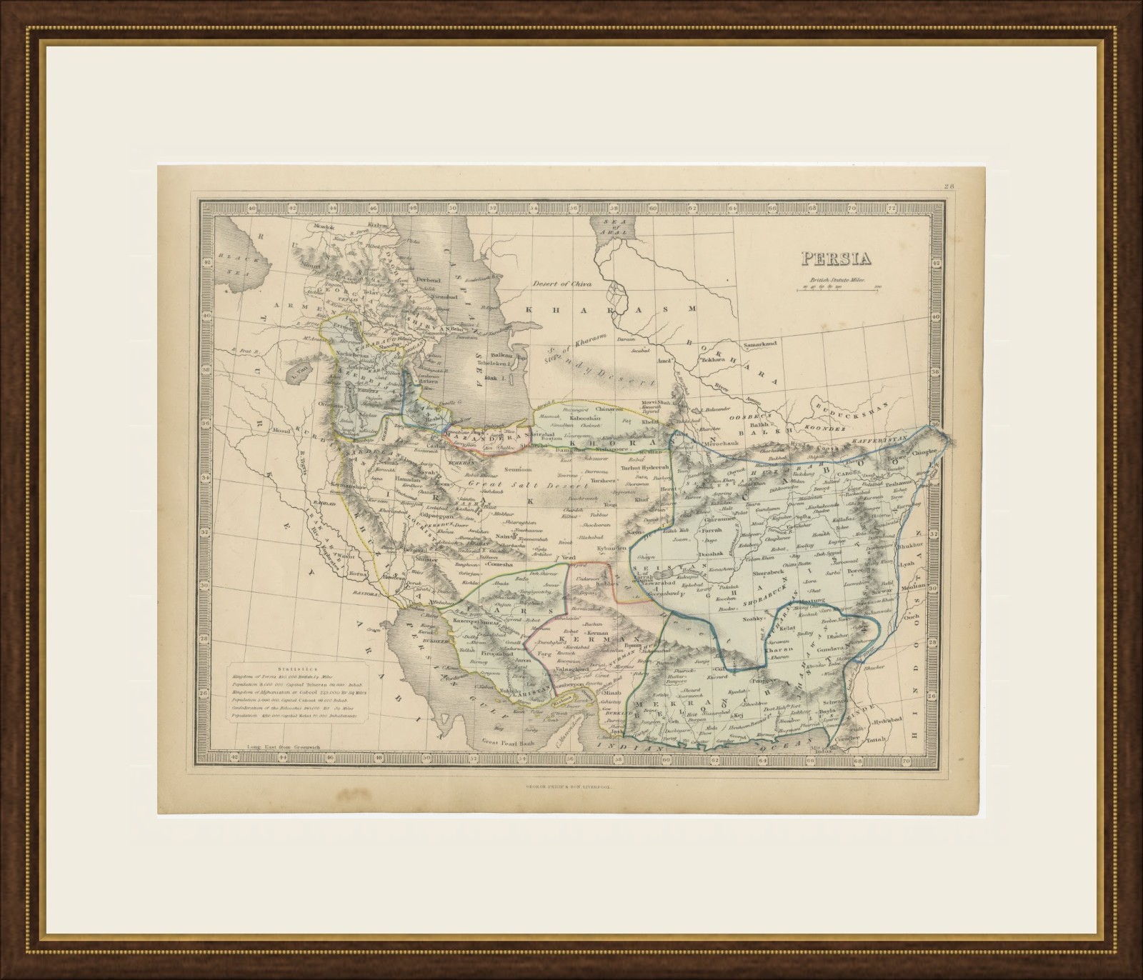
This is an original antique map, not a modern reproduction. This item is sold unframed. Any framed or interior images are shown for presentation and inspiration only, unless the listing explicitly states that the item is sold framed.