Antique Asia Minor Map with Classical Regions by Pluche, Black Sea, circa 1765
€ 245
Original antique · The actual sheet photographed · Certificate of authenticity on request · Sold unframed · Worldwide shipping from € 15 (rates)
Date
circa 1765
Mapmaker / artist
Abbé Noël Antoine Pluche
Publisher
Paris
Technique
Copper Engraving
Condition
Good
Reference
BG-14279-16
Condition
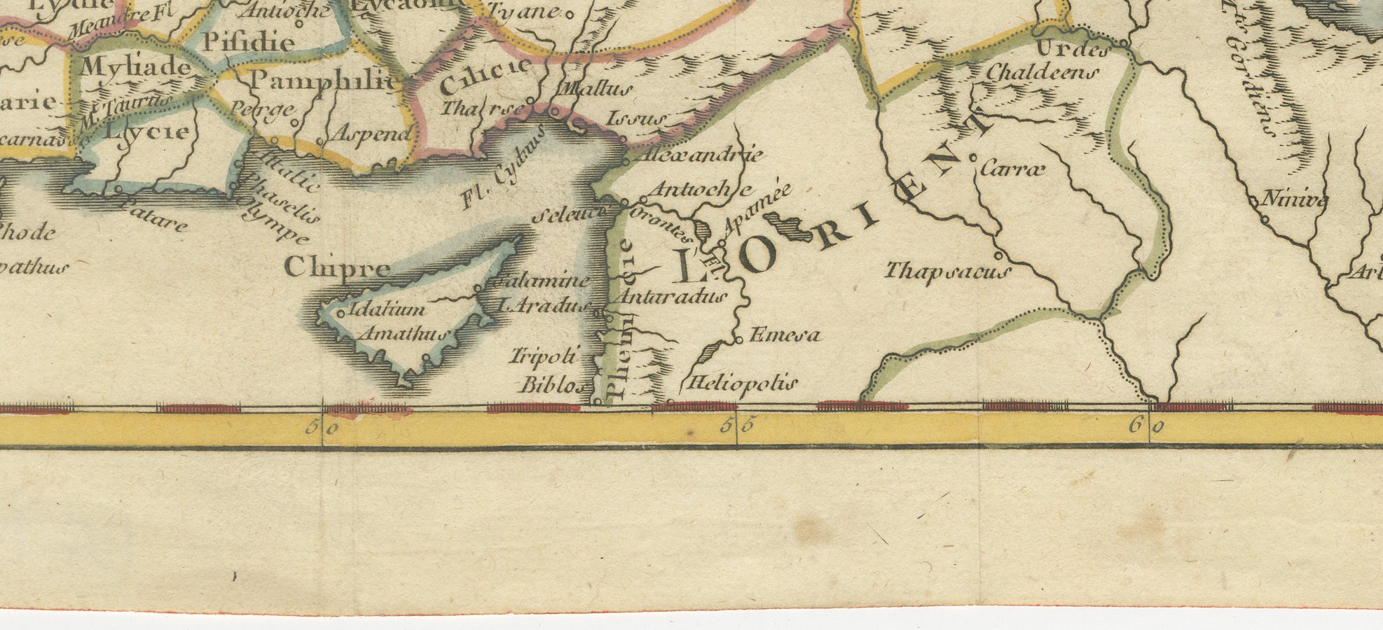
Good condition for its age. Faint fold lines, light toning and soiling to the lower margin; small nicks to the right edge, clear of the image. Please review the images for further condition details.
About this sheet
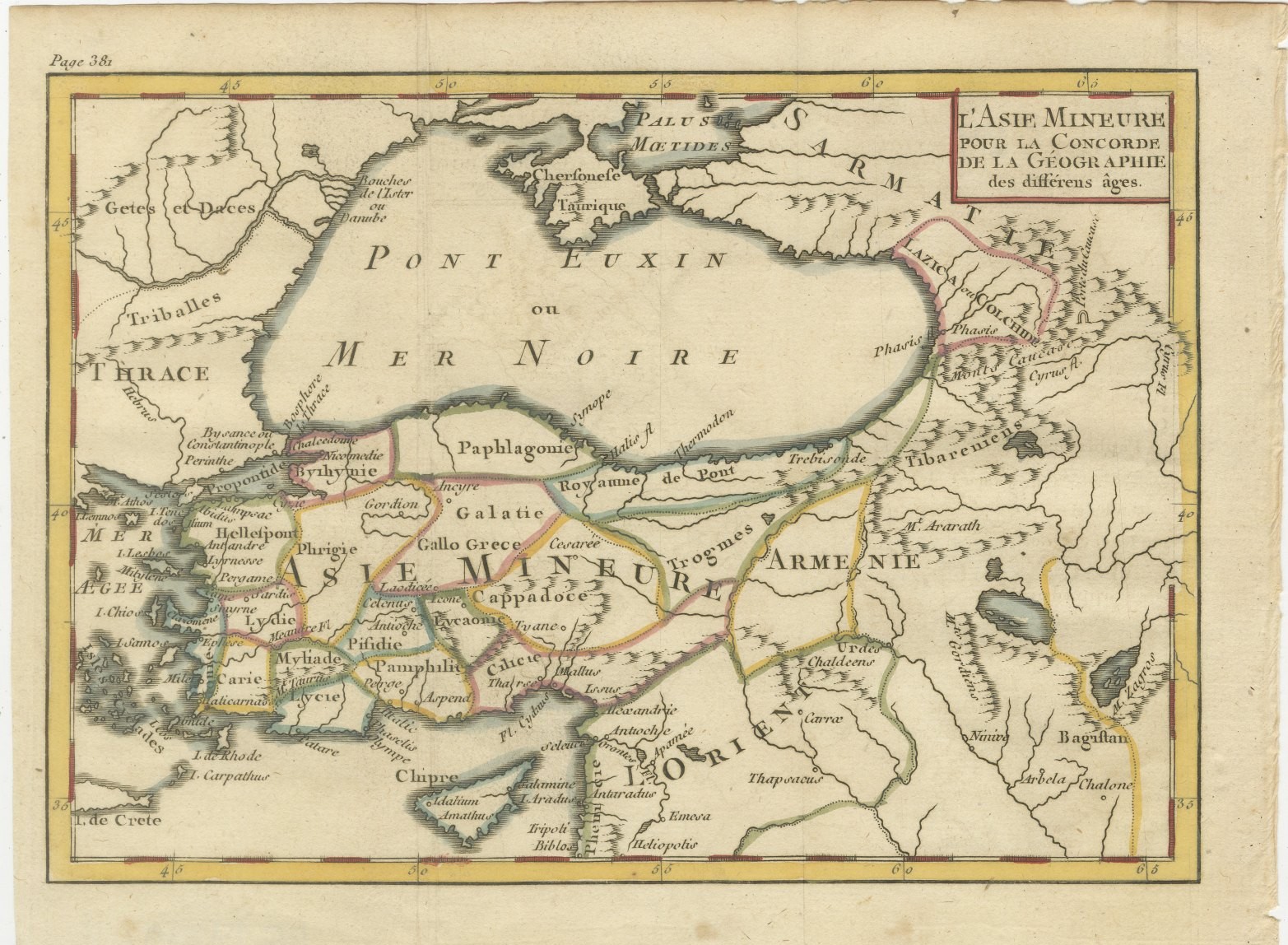
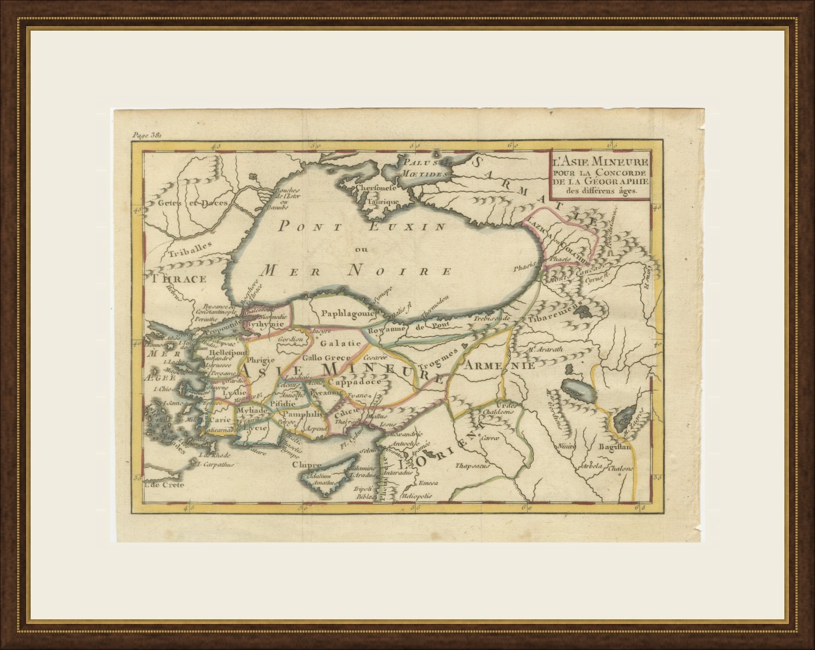
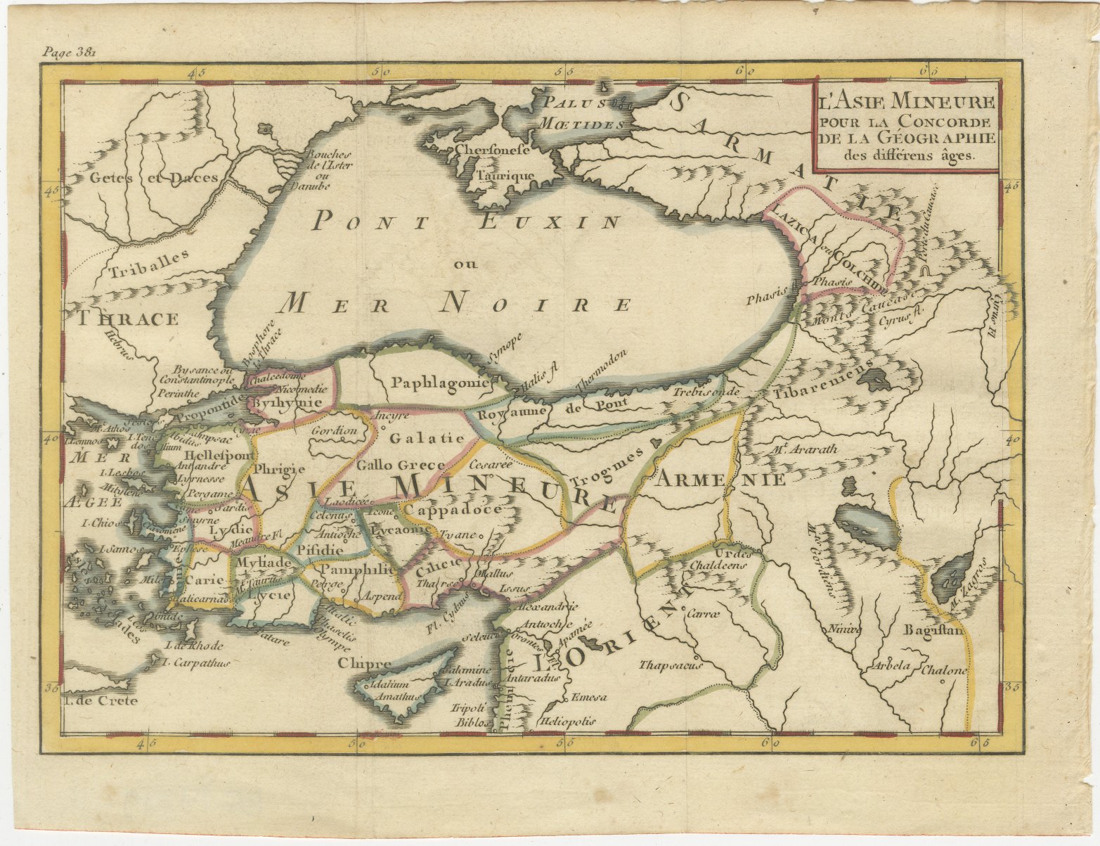
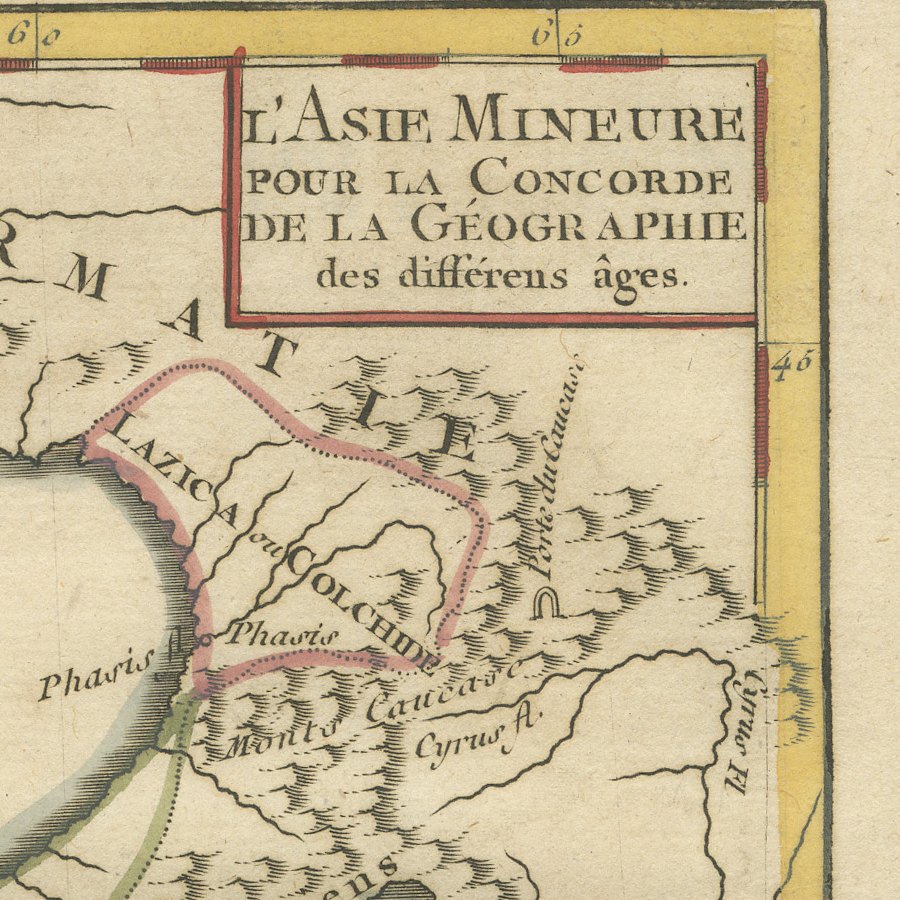
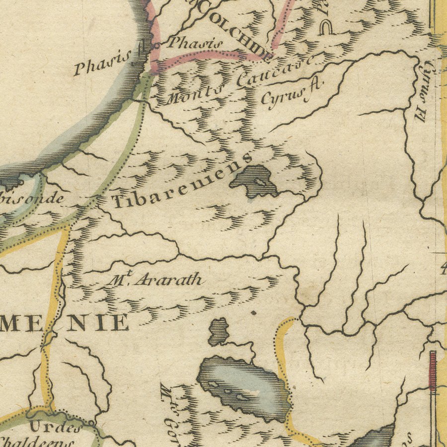
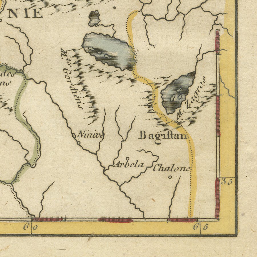
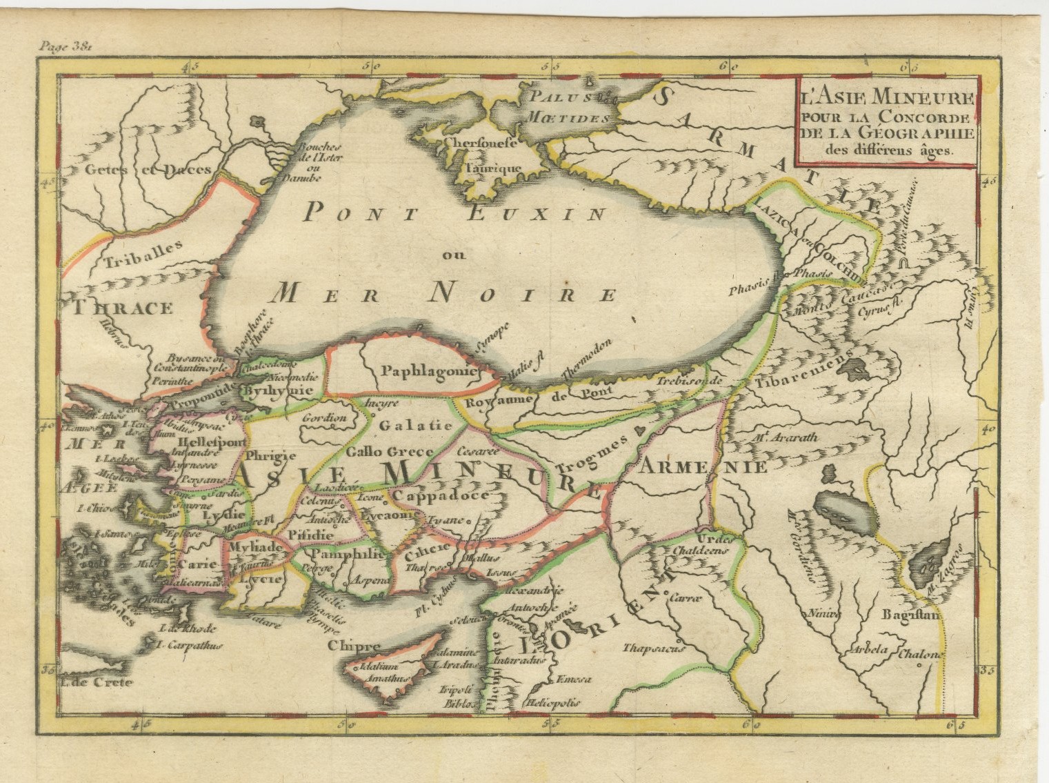
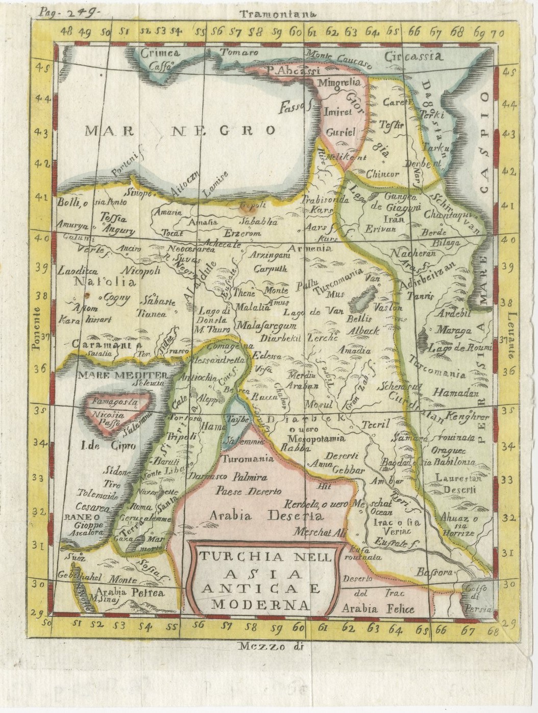
This antique map of Asia Minor, titled L'Asie Mineure pour la Concorde de la Géographie des différens âges, comes from the Abbé Noël Antoine Pluche's Concorde de la géographie des différens âges, published in Paris in the 1760s. The page reference Page 381 is engraved in the upper left margin.
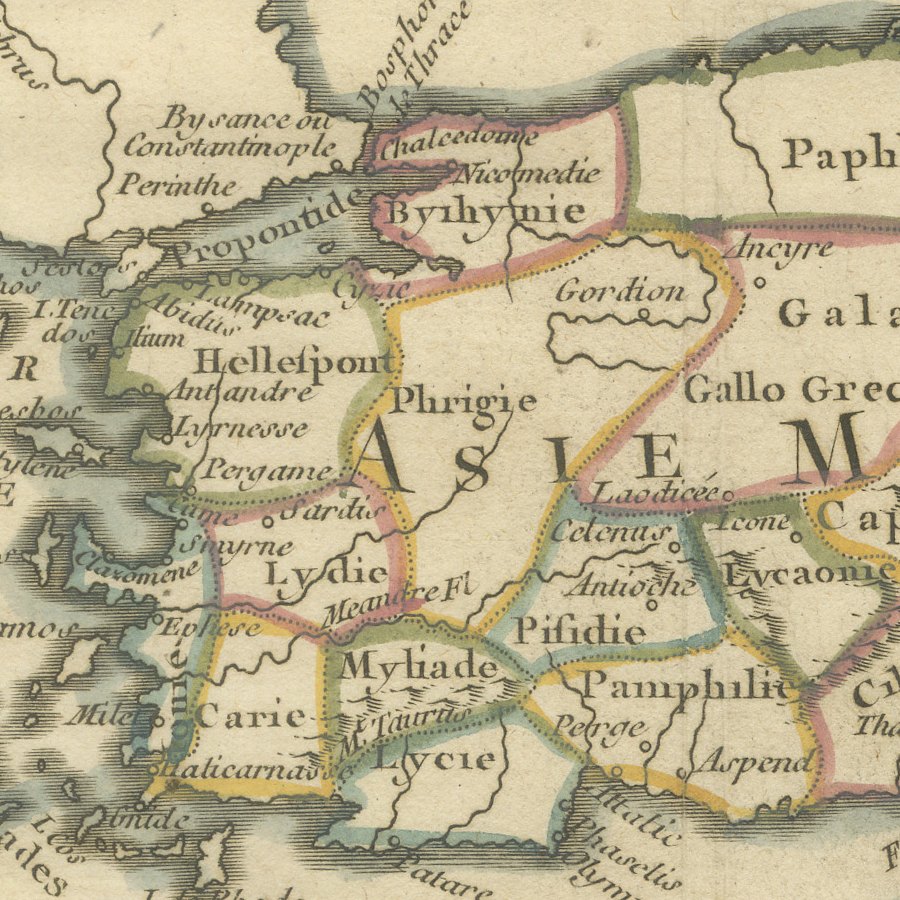
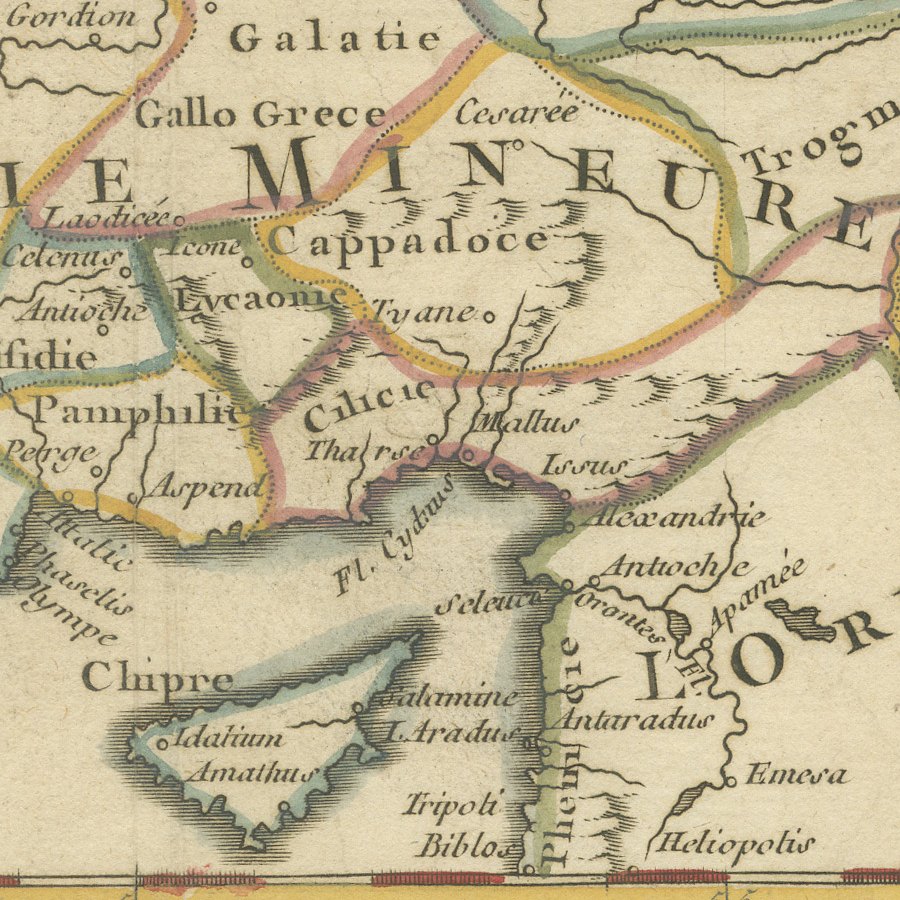
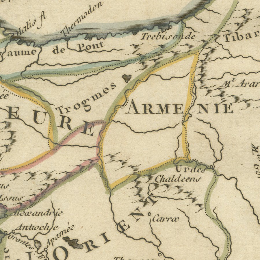
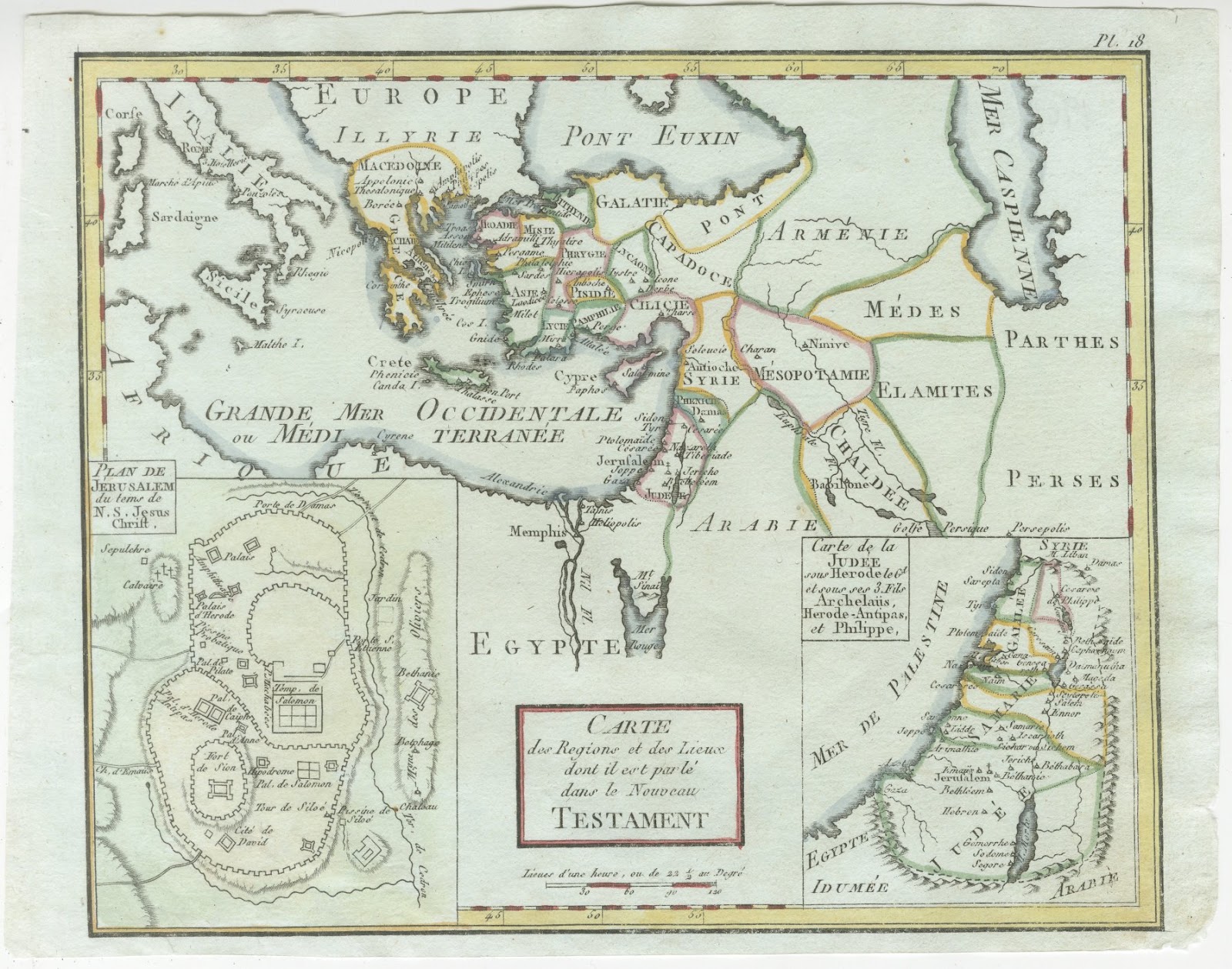
Classical Anatolia is set out region by region, from Bithynie and Paphlagonie on the Black Sea coast to Lycie, Pamphilie and Cilicie in the south, with Galatie and Cappadoce in the centre. Colchis, the Palus Maeotides, the Chersonese Taurique, Thrace and the islands of the Aegean frame the Pont Euxin, and Armenia, Mount Ararat and the upper Tigris appear to the east. Mountains are drawn pictorially and the frontiers are coloured by hand.
The Abbé Noël Antoine Pluche, best known for his Spectacle de la nature, also wrote the Concorde de la géographie des différens âges, published in Paris in the 1760s. The book set out to reconcile ancient, medieval and modern geography, and its small maps show classical regions and peoples alongside the names of later times, which is exactly what the title of this map promises.
This is a decorative and scholarly small map for a collector of classical geography or the history of Anatolia, and it frames neatly on its own or beside other eighteenth century maps of the region. Beyond its decorative appeal, a map of this kind records the place names, routes and political divisions known to travellers, merchants and scholars of its day, which gives it lasting value as a historical document.
The sheet is in good condition for its age, with faint fold lines, light toning and a few small nicks at the right edge, well clear of the map; the image is clean.
This is an original antique map, not a modern reproduction. This item is sold unframed. Any framed or interior images are shown for presentation and inspiration only, unless the listing explicitly states that the item is sold framed.