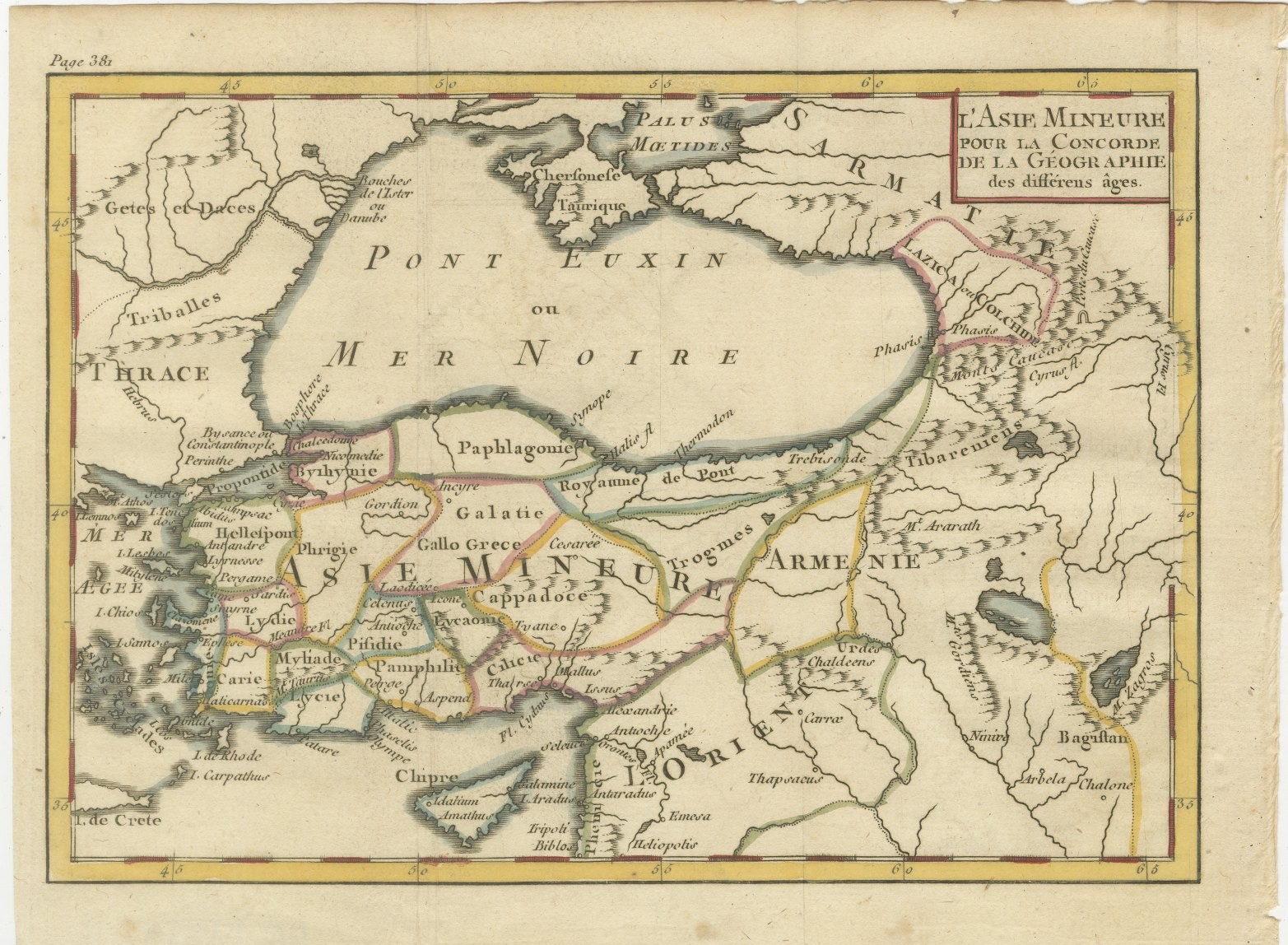
Antique Italian Map of Turkey in Asia by Buffier, Turchia nell Asia circa 1780
€ 195
Original antique · The actual sheet photographed · Certificate of authenticity on request · Sold unframed · Worldwide shipping from € 15 (rates)
Date
circa 1760-1790
Mapmaker / artist
After Claude Buffier
Publisher
Venice
Technique
Copper Engraving
Condition
Good
Reference
BG-14279-13
Condition
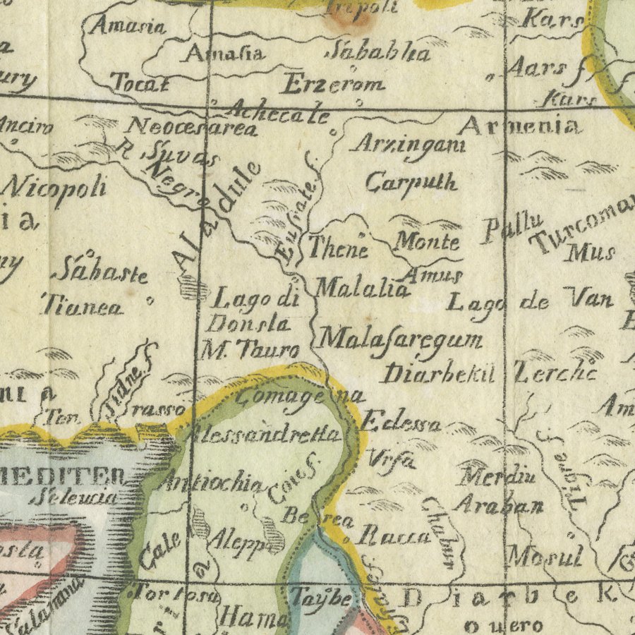
Good condition for its age. Faint fold lines, light toning and uneven edges; faint offsetting to the lower margin and a small spot to the left margin. Please review the images for further condition details.
About this sheet
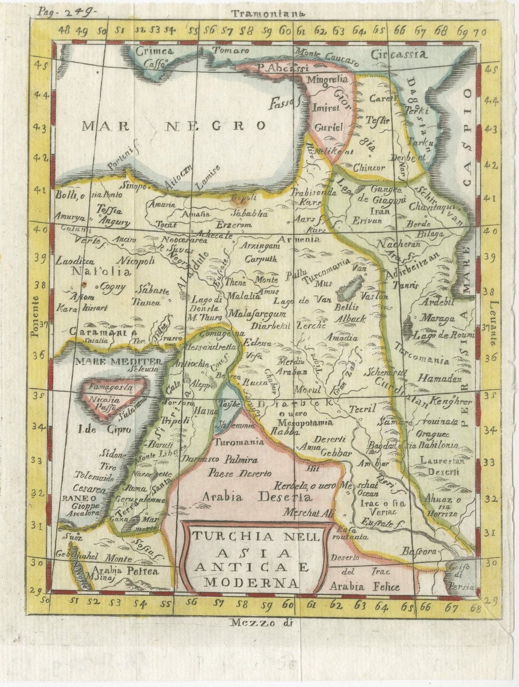
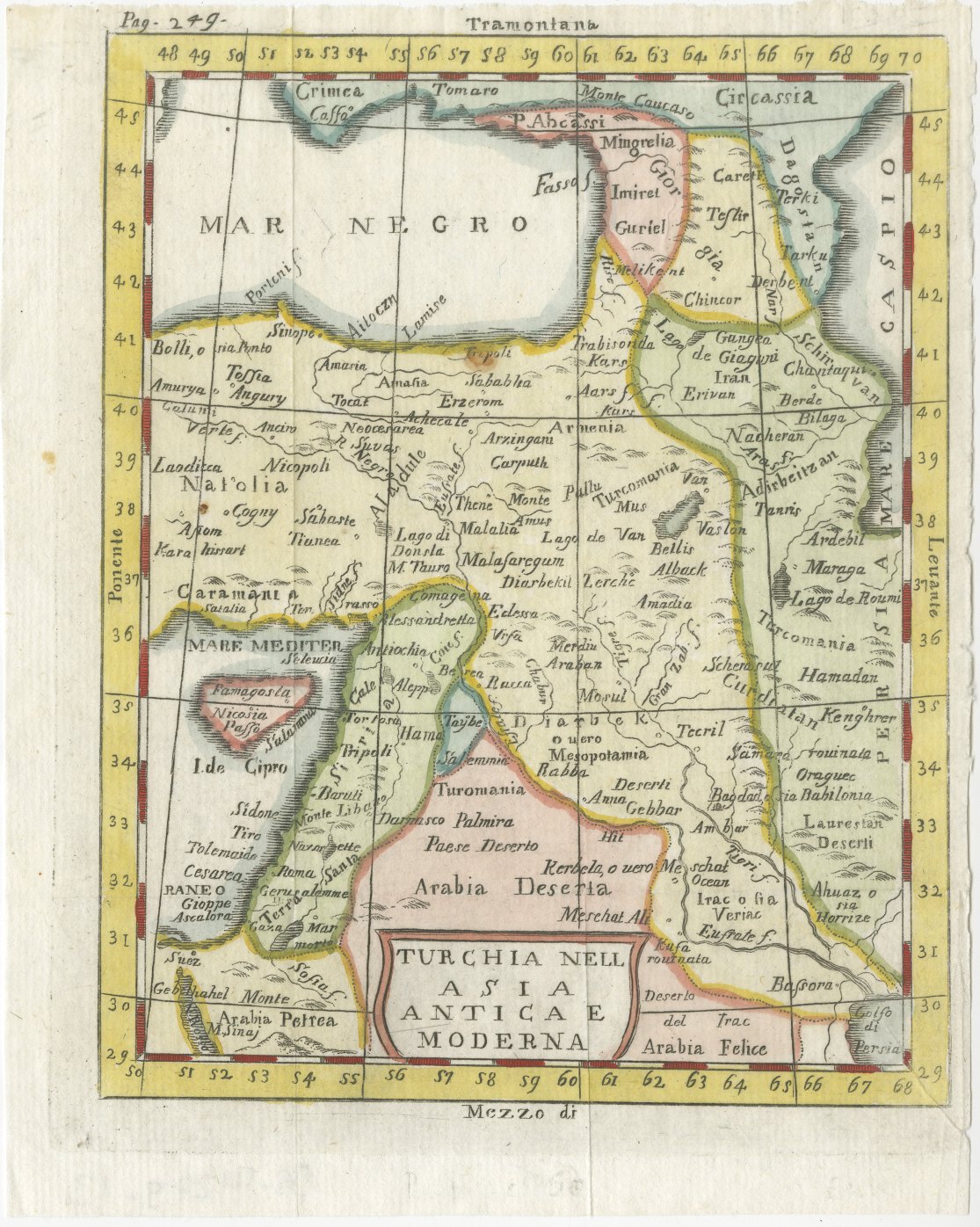
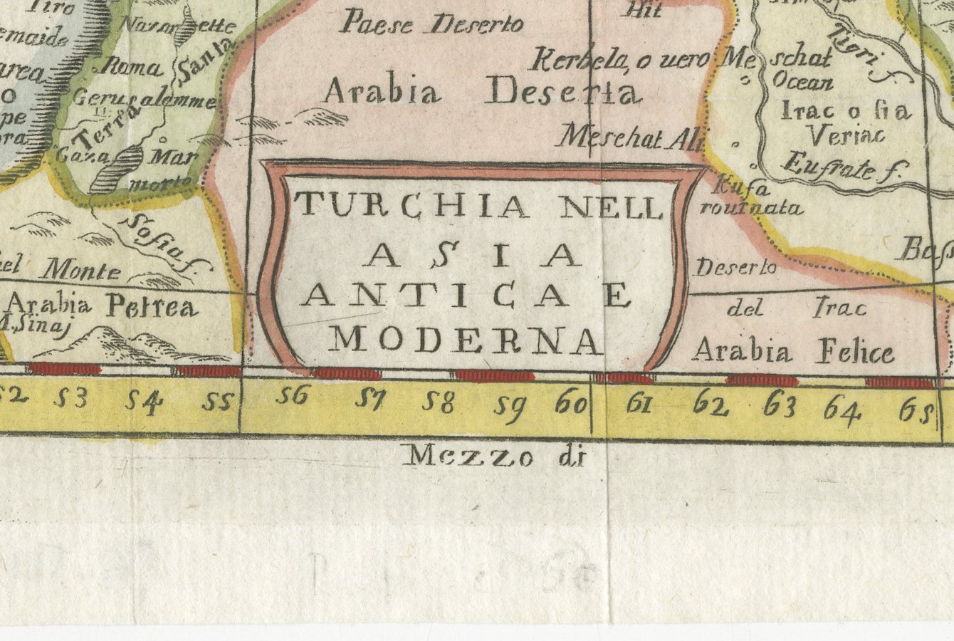
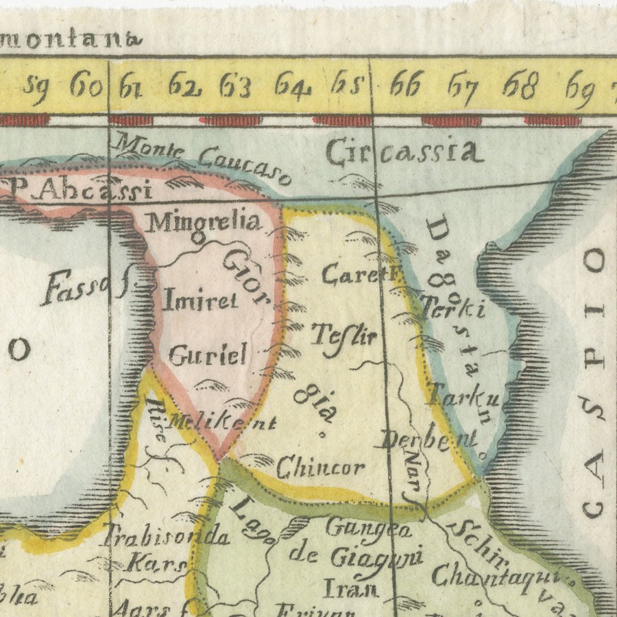
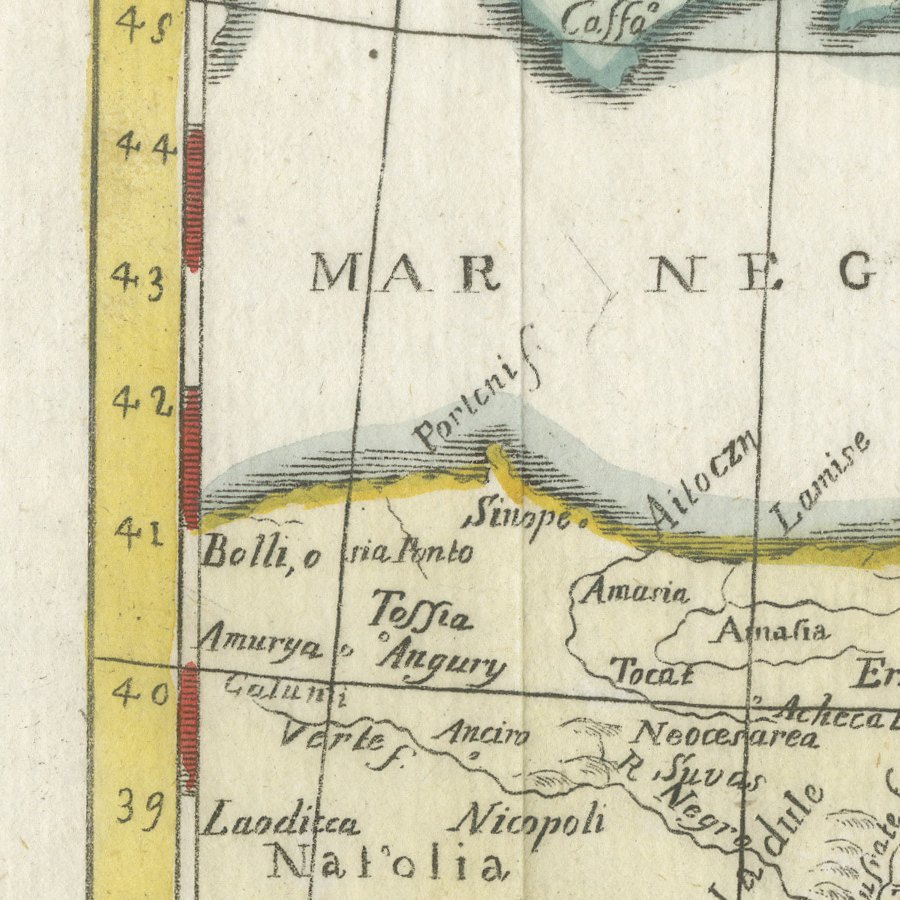
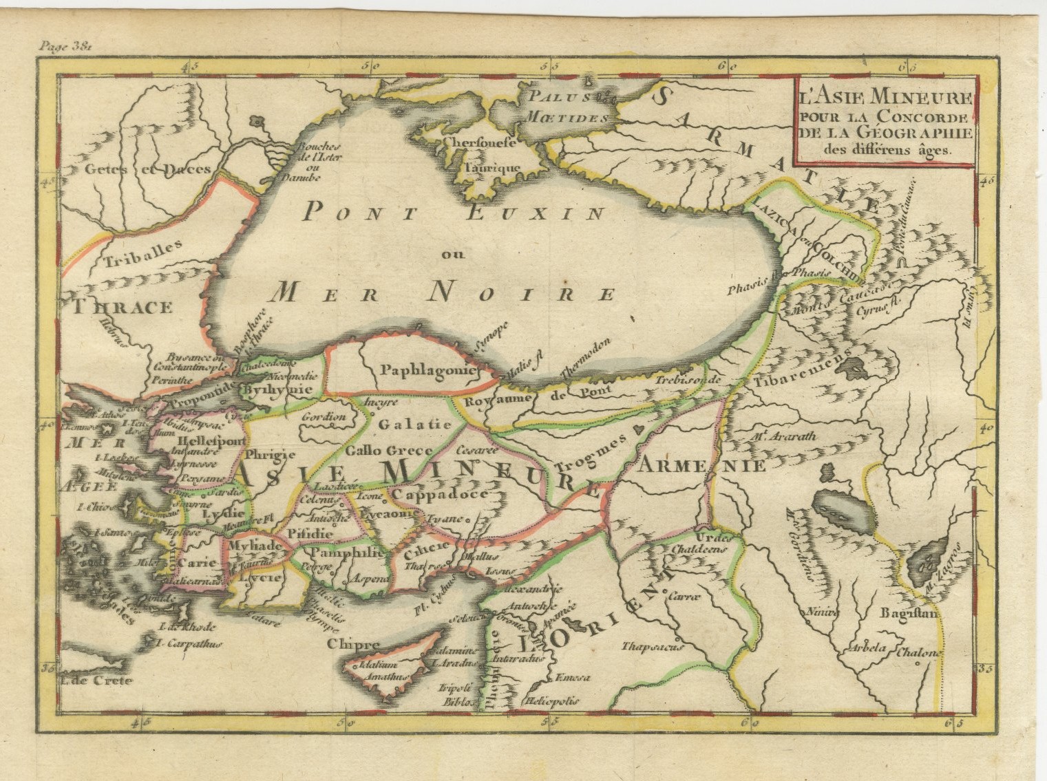
This small antique map of Turkey in Asia is titled Turchia nell Asia antica e moderna and comes from an Italian edition of Claude Buffier's Geografia universale, published in Venice in the second half of the eighteenth century. The page reference Pag. 249 is engraved in the upper left margin.
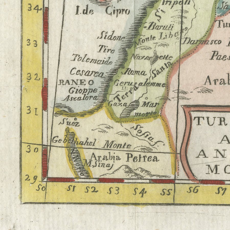
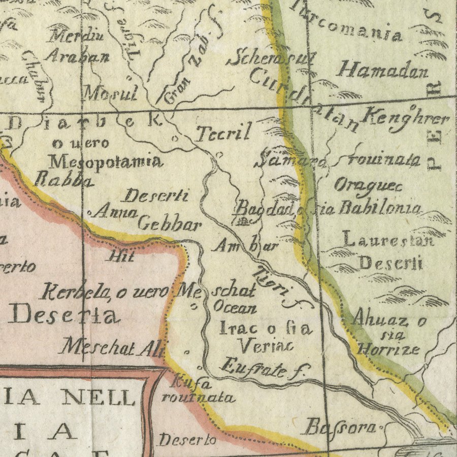
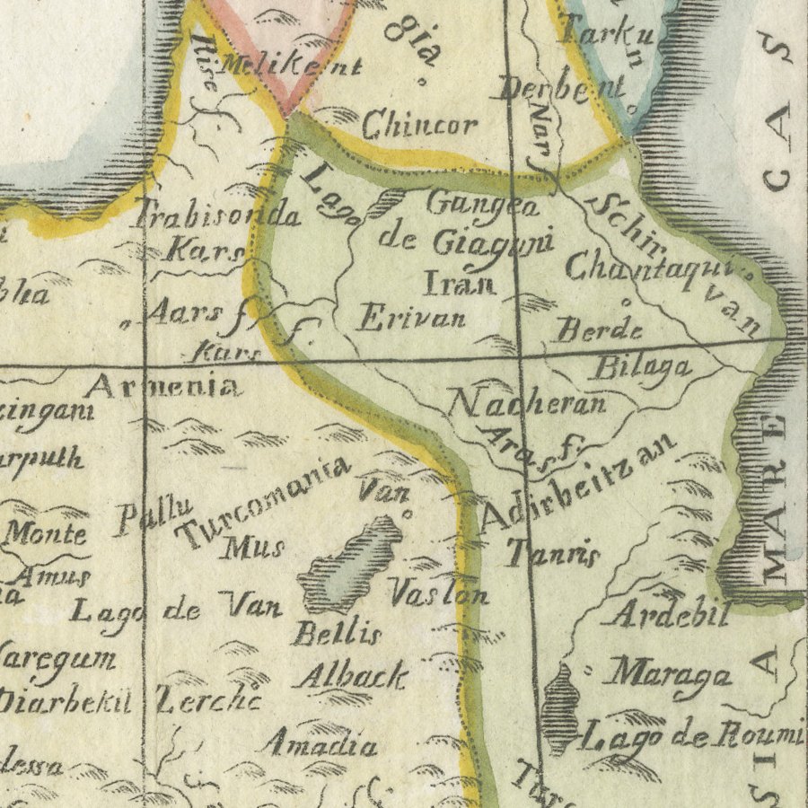
The map follows the French model closely but with Italian names throughout: Mar Negro, Mare Caspio, Natolia, Armenia, Georgia, Aleppo, Damasco, Gerusalemme, Bagdad o sia Babilonia and Bassora, with Arabia Deserta, Arabia Petrea and Arabia Felice in the south. The border is graduated and coloured in yellow, and the frontiers are marked in pink, green and yellow by hand.
Claude Buffier's Géographie universelle was one of the most successful teaching geographies of the eighteenth century, and Italian editions under the title Geografia universale were published in Venice, notably by Francesco Pitteri, with the maps newly engraved and their names translated into Italian. These small maps were bound into the text at the relevant chapter, which explains the page reference engraved in the upper margin. A comparable copy is recorded as engraved by Giovanni Petroschi for the Pitteri edition of 1788.
The Italian lettering gives this little map extra interest beside its French counterparts, and it makes a charming framed piece for a collector of the Ottoman Empire, Syria or Iraq. Beyond its decorative appeal, a map of this kind records the place names, routes and political divisions known to travellers, merchants and scholars of its day, which gives it lasting value as a historical document.
The sheet is in good condition for its age, with faint fold lines, uneven edges and some faint offsetting in the lower margin; the map itself is clean.
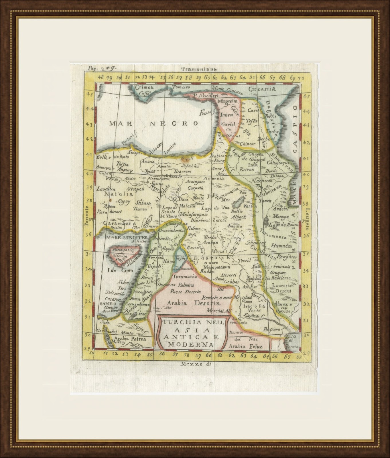
This is an original antique map, not a modern reproduction. This item is sold unframed. Any framed or interior images are shown for presentation and inspiration only, unless the listing explicitly states that the item is sold framed.