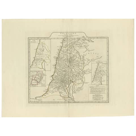
Antique New Testament Map with Plan of Jerusalem after Bonne, circa 1770
€ 450
Original antique · The actual sheet photographed · Certificate of authenticity on request · Sold unframed · Worldwide shipping from € 15 (rates)
Date
circa 1762-1780
Mapmaker / artist
After Rigobert Bonne
Publisher
Jean Lattre, Paris (believed)
Technique
Copper Engraving
Condition
Good
Reference
BG-14279-19
Condition
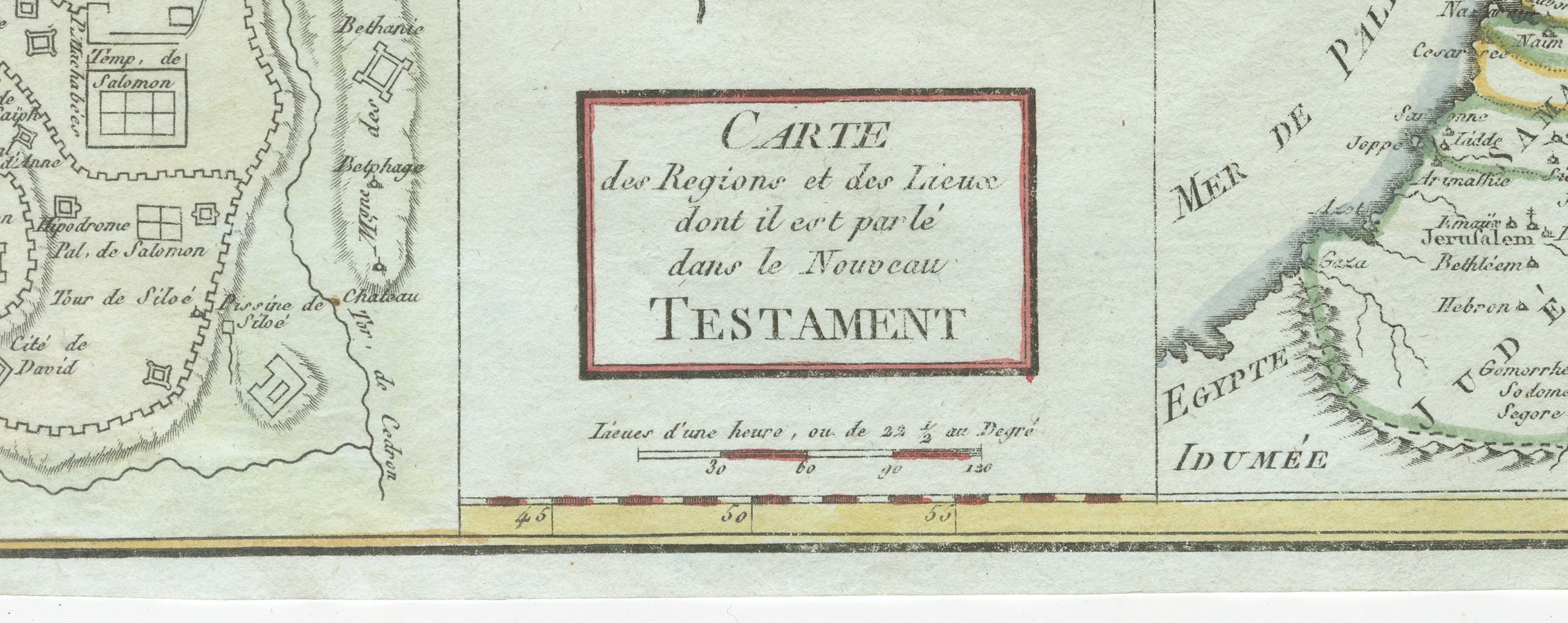
Good condition for its age. Light toning and a few small spots to the margins; narrow, slightly uneven margins with irregular edges. The image is clean. Please review the images for further condition details.
About this sheet
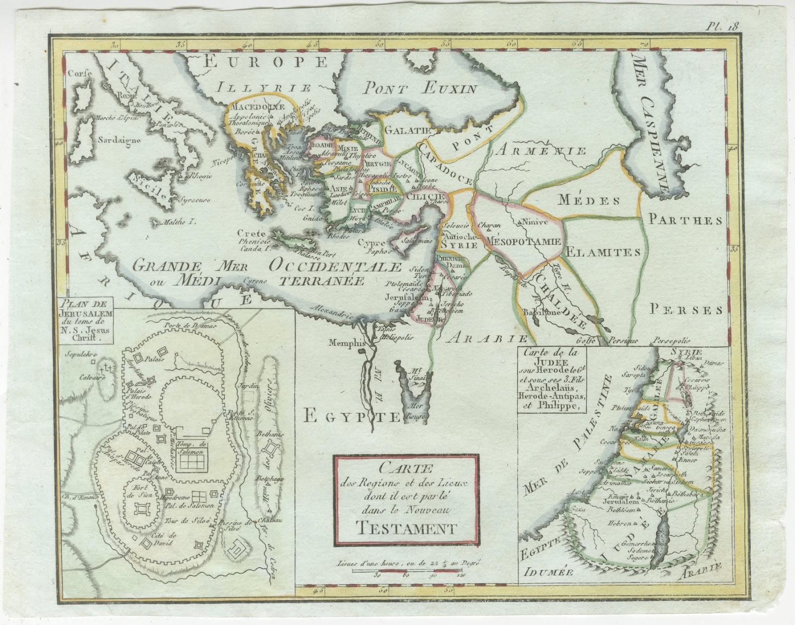
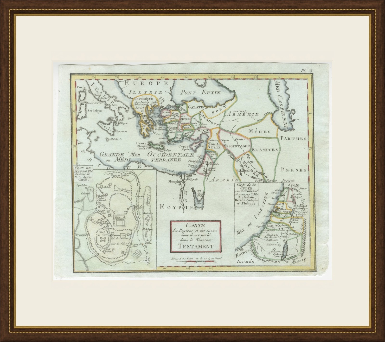
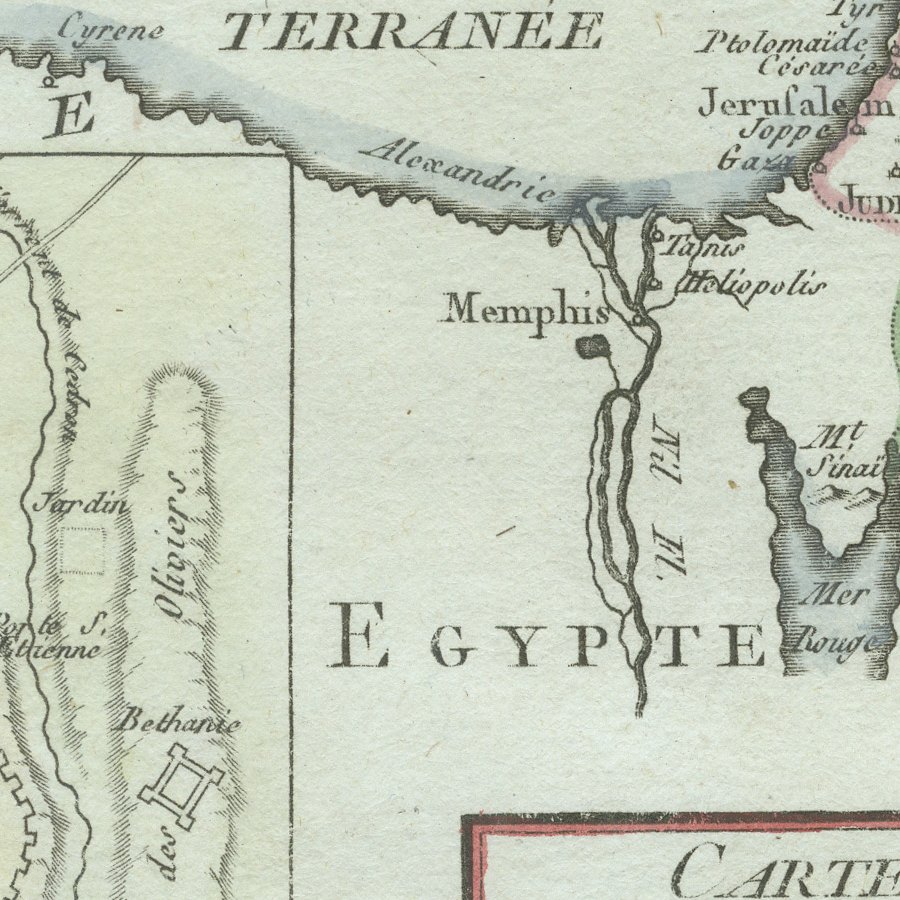
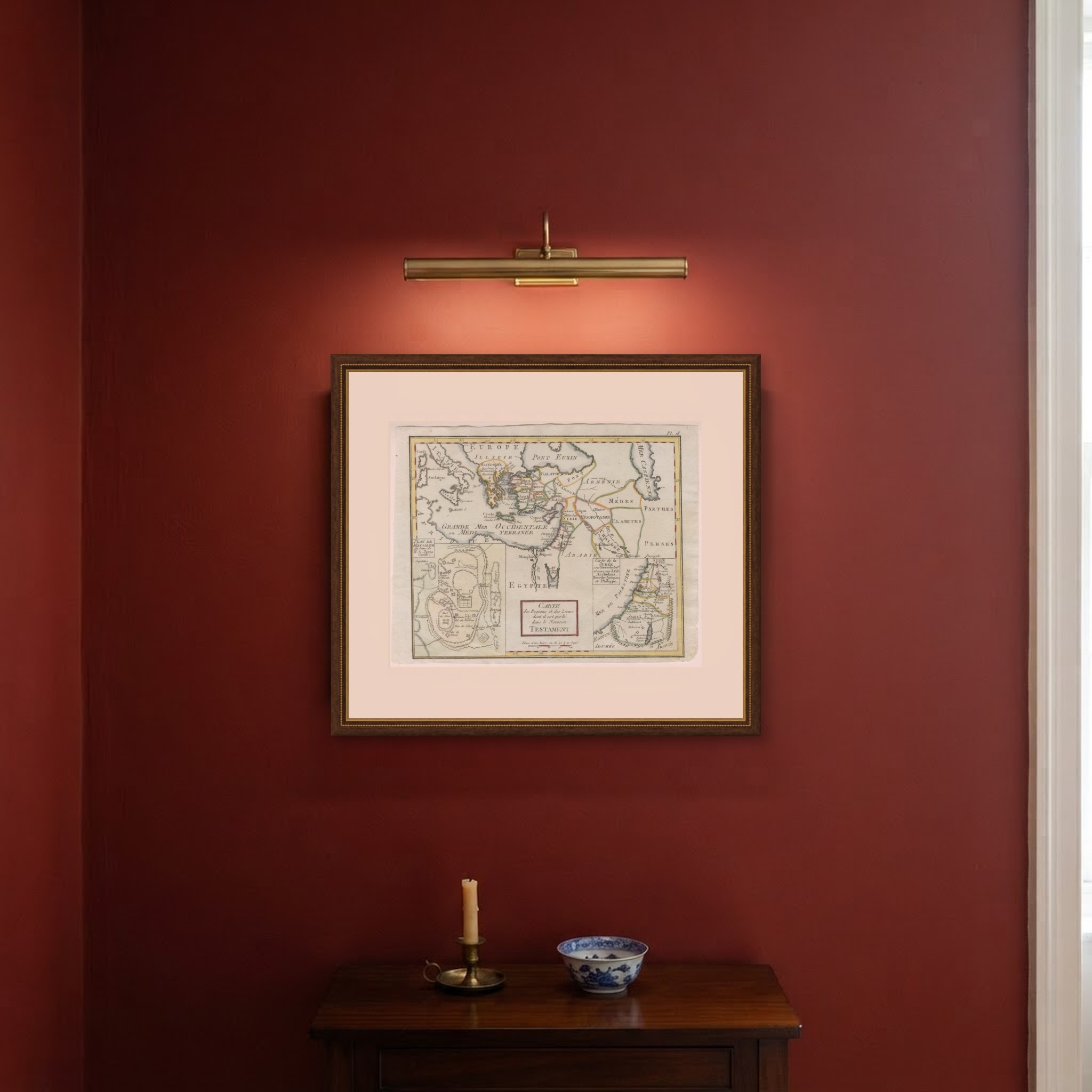
This antique map of the lands of the New Testament is titled Carte des Regions et des Lieux dont il est parlé dans le Nouveau Testament and is believed to be the map drawn by Rigobert Bonne for Jean Lattre's Atlas moderne, published in Paris from 1762. It is numbered Pl. 18 in the upper right corner.
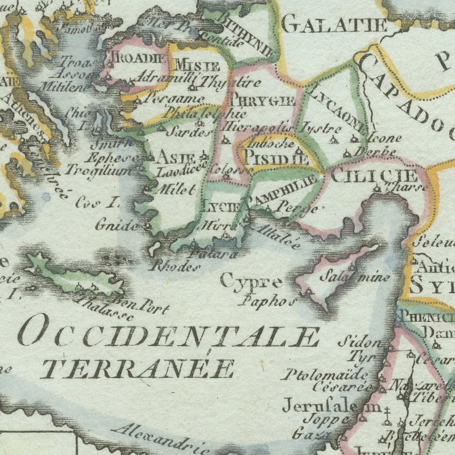
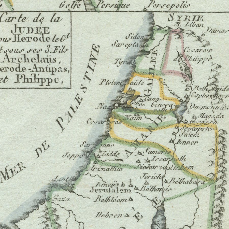
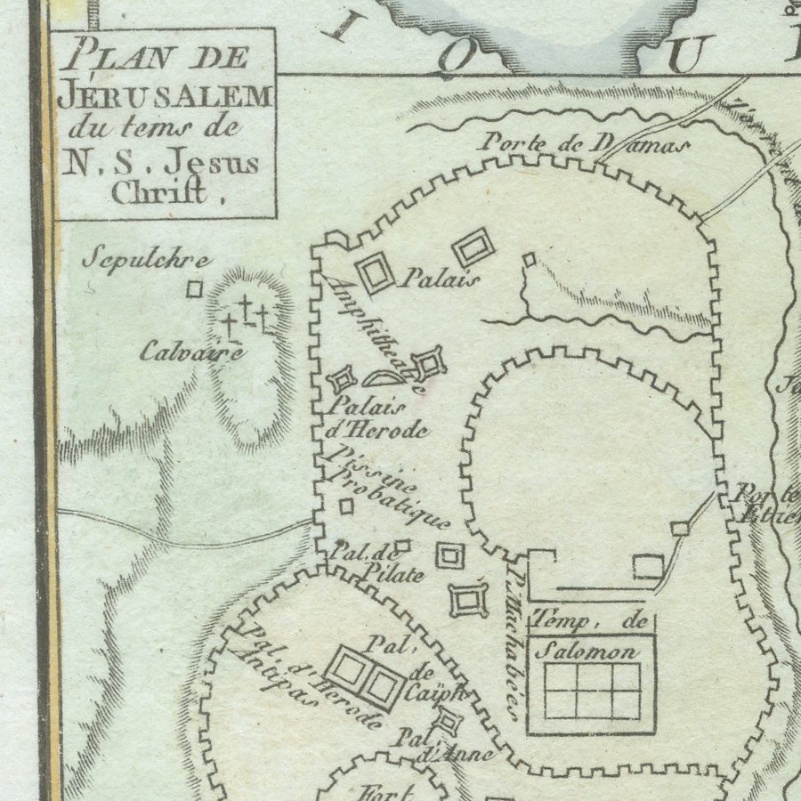
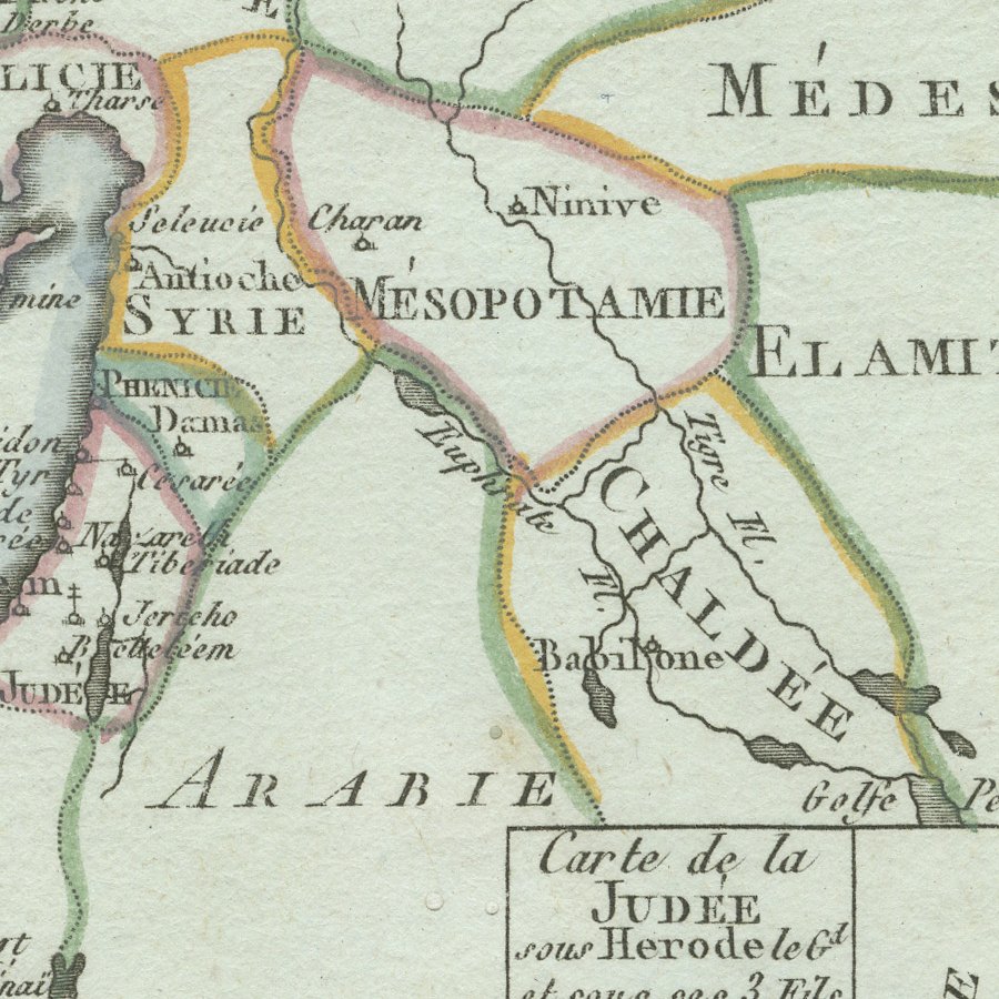
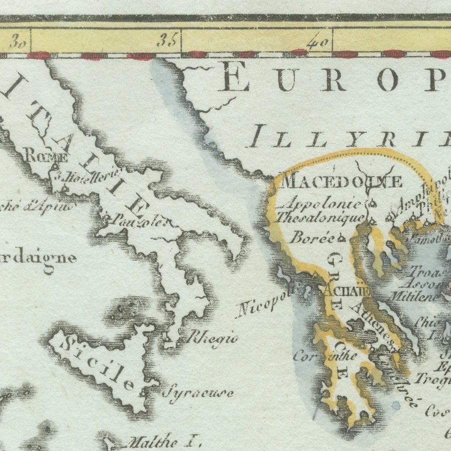
The main map extends from Italy, Sardinia and Sicily across Greece, Asia Minor, Syria and Egypt to the Medes, Parthians and Persians, tracing the world of the Apostles and the journeys of Saint Paul. Two insets add great interest: a Plan de Jerusalem du tems de N. S. Jesus Christ, showing the Temple of Solomon, Calvary, the palaces of Herod and the Pool of Siloam, and a Carte de la Judée sous Herode le Grand et sous ses trois fils, Archelaus, Herode Antipas et Philippe.
Rigobert Bonne served as Ingénieur Hydrographe de la Marine and was one of the most influential French cartographers of the later eighteenth century. His maps are admired for their careful compilation, restrained decoration and dense detail, and they were issued in several important atlases, including the atlas of the Abbé Raynal's Histoire philosophique des deux Indes and the Atlas encyclopédique. The frontiers and borders of this example are coloured by hand.
With its Jerusalem plan and its map of Herodian Judaea, this is a rewarding sheet for collectors of Holy Land and biblical cartography, and it would make a meaningful framed gift or study piece. Beyond its decorative appeal, a map of this kind records the place names, routes and political divisions known to travellers, merchants and scholars of its day, which gives it lasting value as a historical document.
The sheet is in good condition for its age, with light toning, a few small spots and narrow, irregularly trimmed margins; the image itself is clean and bright.
This is an original antique map, not a modern reproduction. This item is sold unframed. Any framed or interior images are shown for presentation and inspiration only, unless the listing explicitly states that the item is sold framed.