Antique Maps of West Asia & the Holy Land
319 original sheets
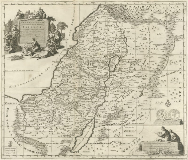
The Holy Land Divided into the Twelve Tribes of Israel, Mortier, 1700
circa 1700 · € 570
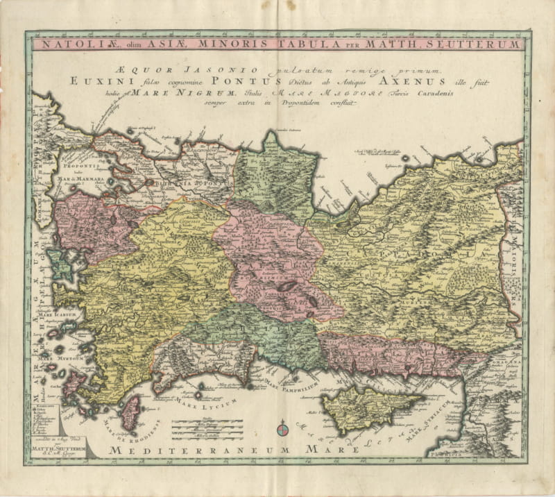
Antique Map of Asia Minor and Cyprus by Matthaeus Seutter, circa 1740
circa 1740 · € 1 100
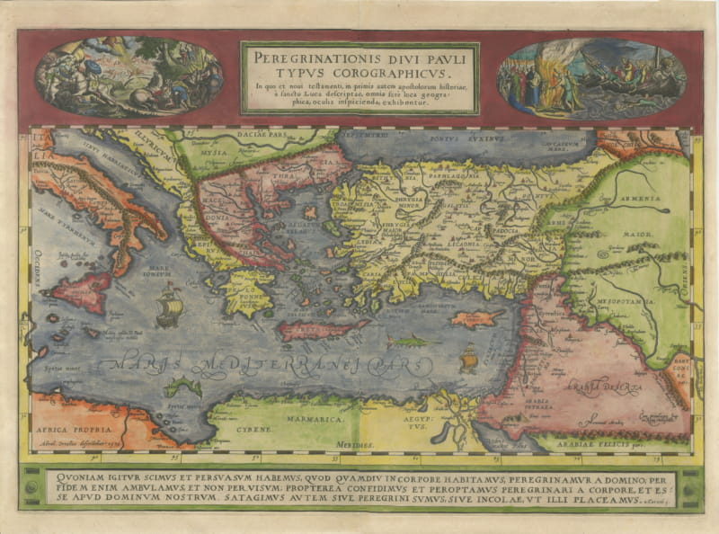
The Travels of Saint Paul, Antique Map by Abraham Ortelius, circa 1590
circa 1590 · € 1 750
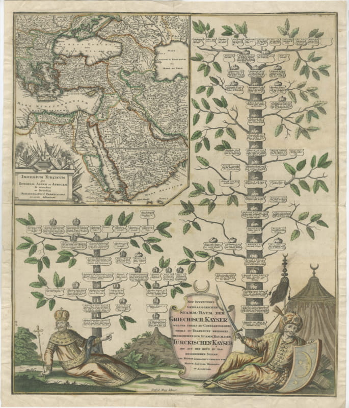
Greek and Turkish Emperors Family Tree with Map, Seutter, circa 1720
circa 1720 · € 1 200
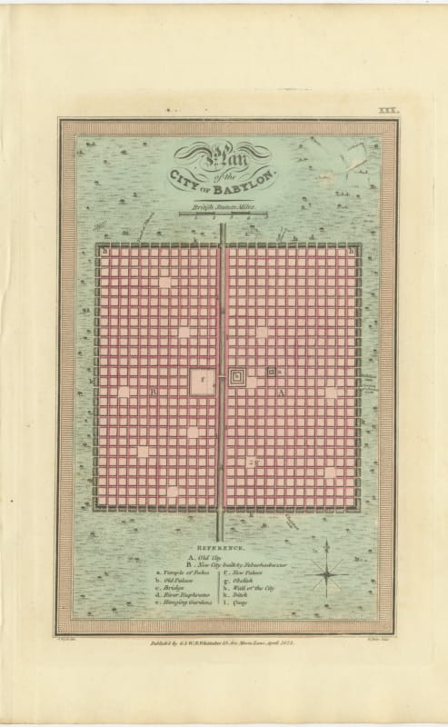
Antique Plan of the City of Babylon, Hand-Colored, Wyld, 1823
1823 · € 275
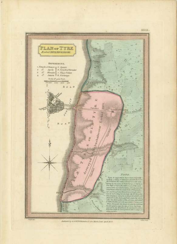
Plan of Ancient Tyre from the Book of Ezekiel, Antique Map, 1823
1823 · € 290
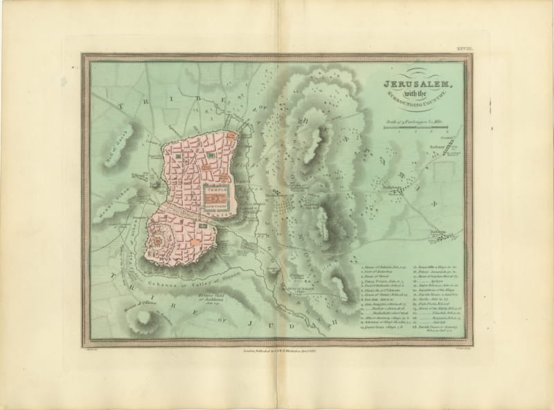
Antique Map of Jerusalem and the Surrounding Country, Wyld, 1823
1823 · € 325
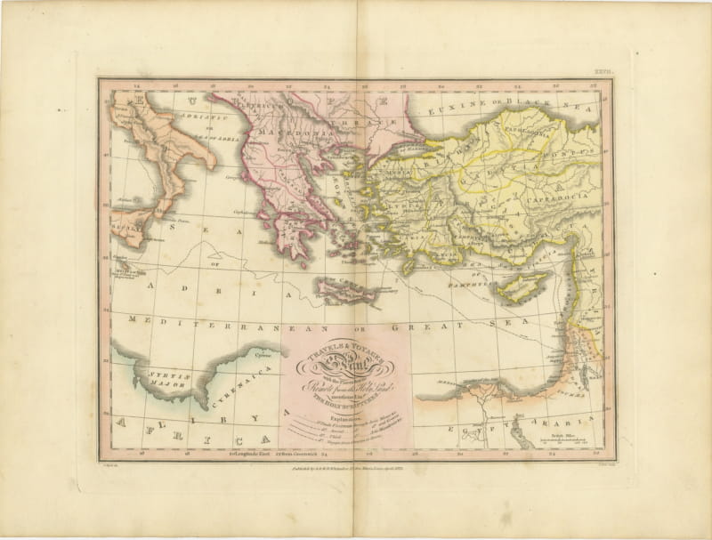
The Travels and Voyages of Saint Paul, Antique Wyld Map, 1823
1823 · € 285
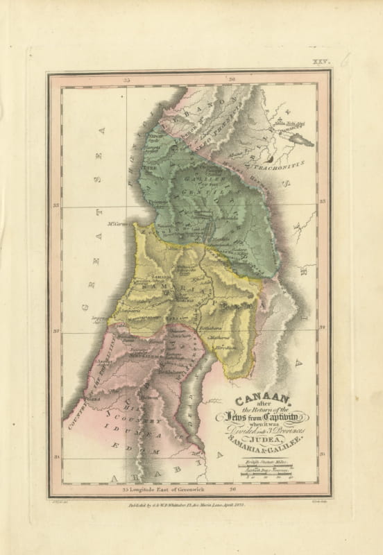
Judea, Samaria and Galilee After the Captivity, Antique Map, 1823
1823 · € 320
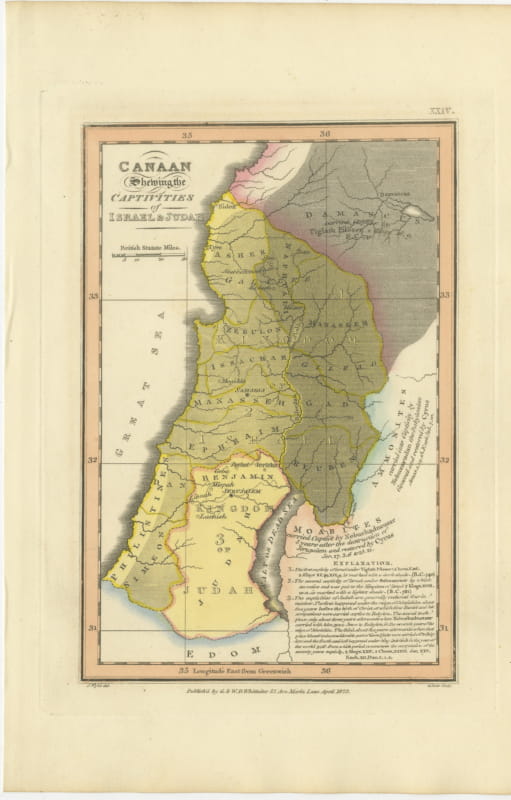
Canaan and the Captivities of Israel and Judah, Antique Map, 1823
1823 · € 355
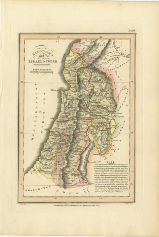
Antique Map of the Kingdoms of Israel and Judah, Hand-Colored, 1823
1823 · € 320
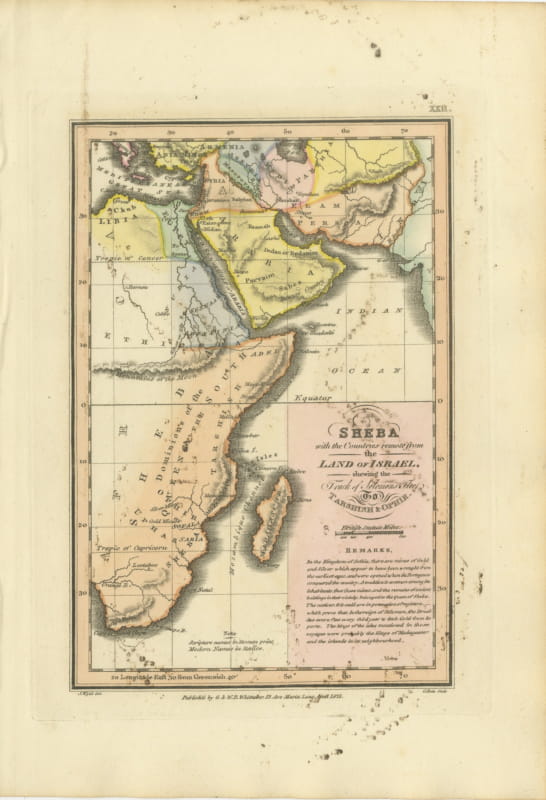
Sheba and the Voyage to Tarshish and Ophir, Antique Map, 1823
1823 · € 170
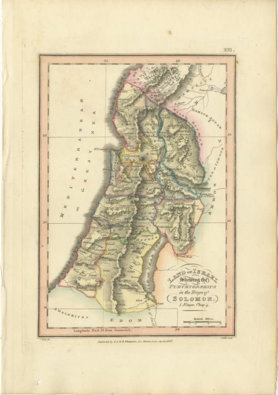
Antique Map of Solomon's Purveyorships in Israel, Wyld, 1823
1823 · € 340
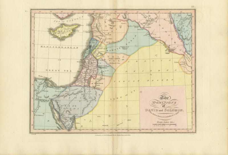
The Dominions of David and Solomon, Antique Hand-Colored Map, 1823
1823 · € 355
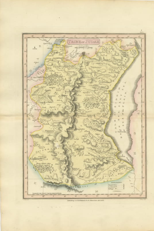
Antique Hand-Colored Map of the Tribe of Judah and the Dead Sea, 1823
1823 · € 260
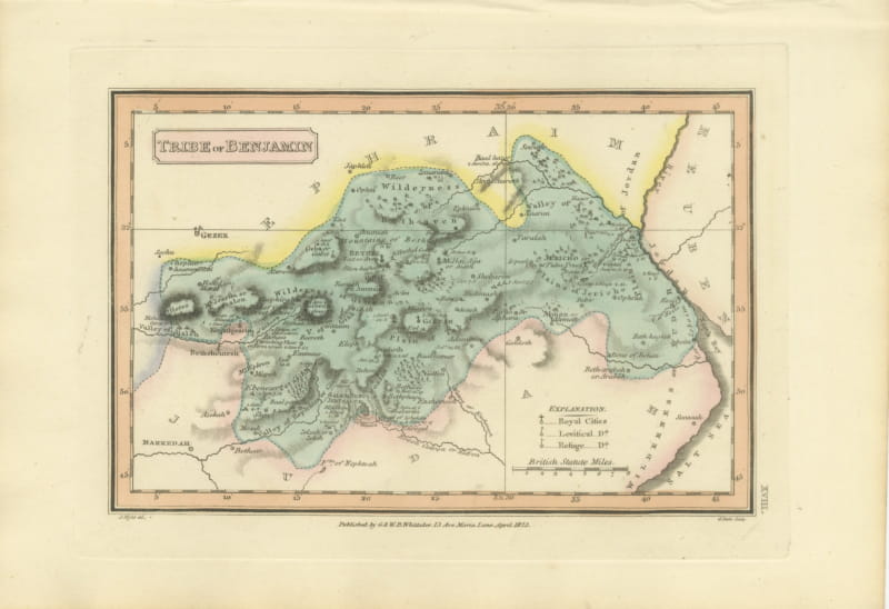
Tribe of Benjamin with Jericho and Bethel, Antique Wyld Map, 1823
1823 · € 250
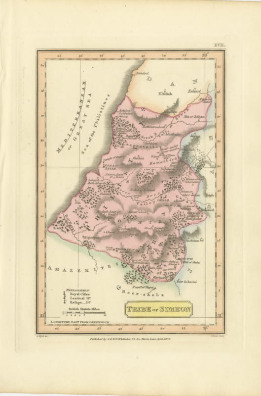
Antique Map of the Tribe of Simeon and the South Country, Wyld, 1823
1823 · € 230
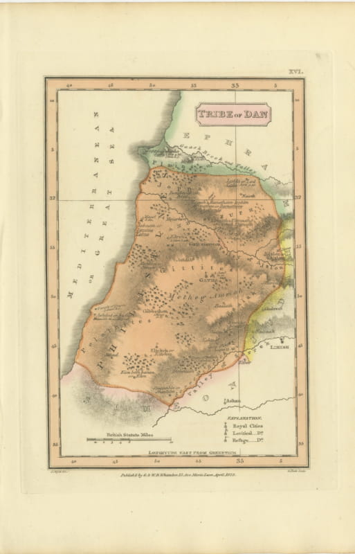
Hand-Colored Antique Map of the Tribe of Dan, James Wyld, 1823
1823 · € 245
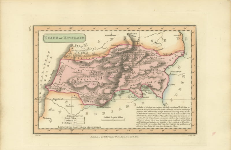
Antique Scripture Map of the Tribe of Ephraim, Hand-Colored, 1823
1823 · € 245
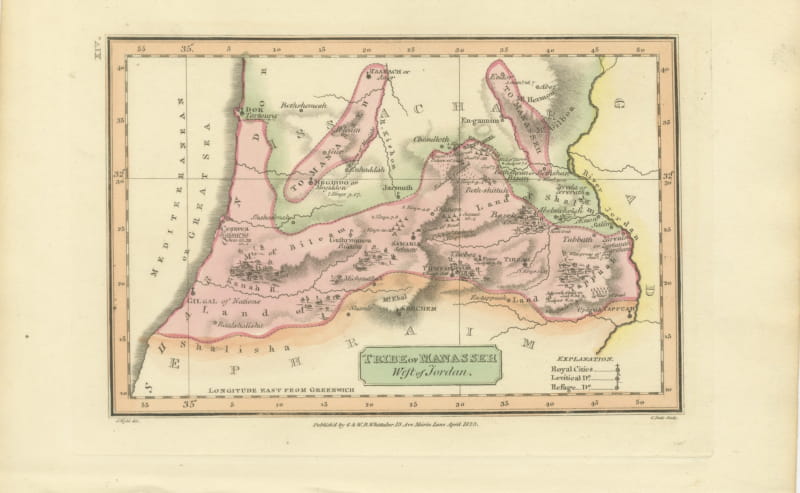
Tribe of Manasseh West of Jordan, Antique Wyld Map, 1823
1823 · € 245
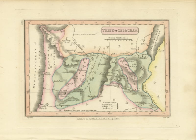
Antique Hand-Colored Map of the Tribe of Issachar, Wyld, 1823
1823 · € 245
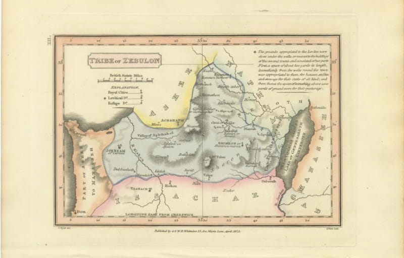
Decorative Antique Map of the Tribe of Zebulun, Wyld, 1823
1823 · € 245
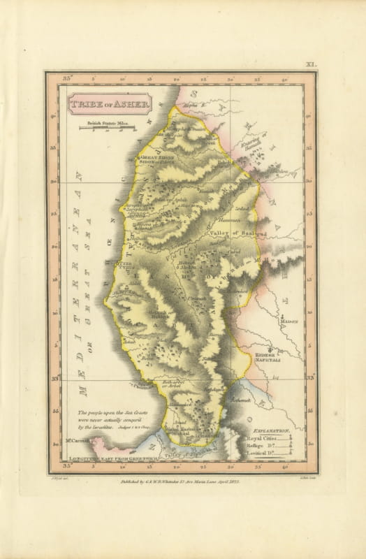
Hand-Colored Antique Map of the Tribe of Asher, Wyld, 1823
1823 · € 240
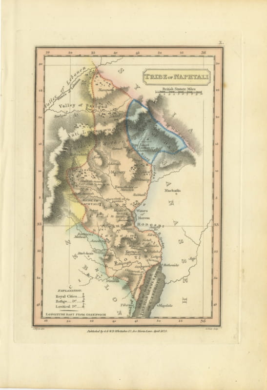
Antique Map of the Tribe of Naphtali, Wyld Scripture Atlas, 1823
1823 · € 260
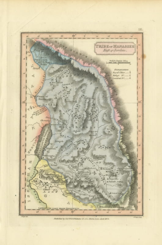
Tribe of Manasseh East of Jordan, Antique Hand-Colored Map, 1823
1823 · € 300
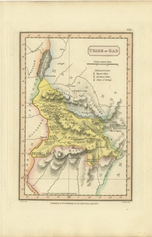
Antique Scripture Map of the Tribe of Gad, Hand-Colored, Wyld, 1823
1823 · € 260
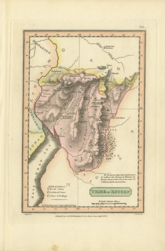
Hand-Colored Antique Map of the Tribe of Reuben, James Wyld, 1823
1823 · € 260
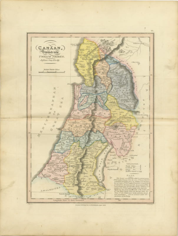
Canaan Divided into the Twelve Tribes, Antique Hand-Colored Map, 1823
1823 · € 310
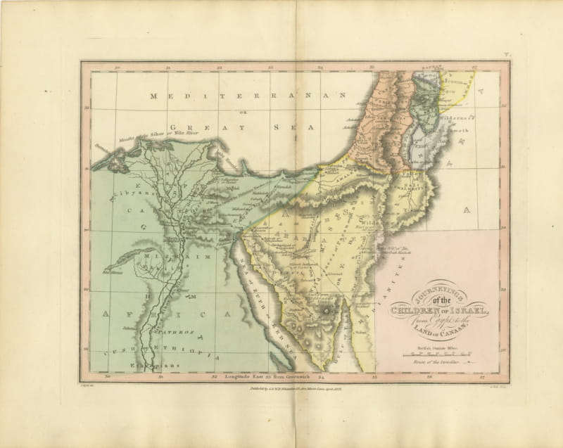
The Exodus Route from Egypt to Canaan, Antique Wyld Map, 1823
1823 · € 285
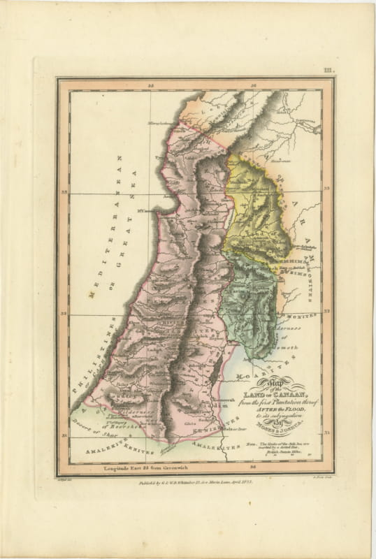
Canaan from the Flood to Moses and Joshua, Antique Hand-Colored Map, 1823
1823 · € 310
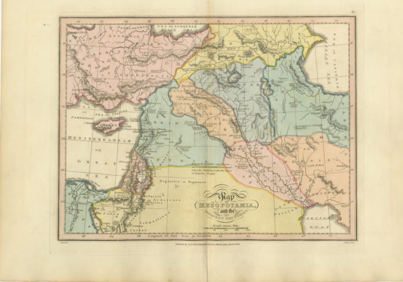
Antique Scripture Map of Mesopotamia and the Adjacent Countries, 1823
1823 · € 290
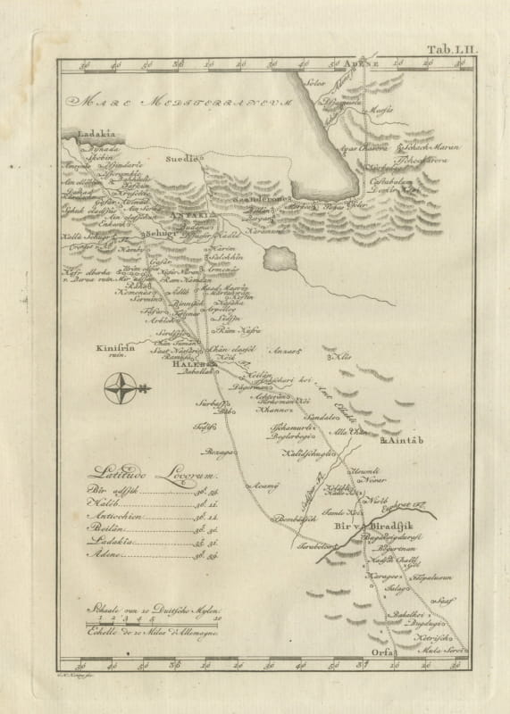
Antique Map of Northern Syria, Aleppo and Antioch, 1780
1780 · € 340
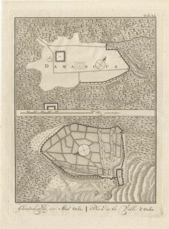
Antique Plans of Damascus and of Urfa or Edessa, Niebuhr, 1780
1780 · € 220
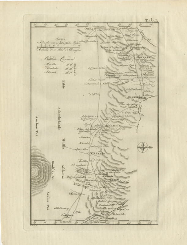
Antique Map of Urfa, Diyarbakir, Mardin and Nisibis, 1780
1780 · € 330
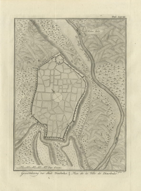
Antique Plan of the City of Diyarbakir, Niebuhr Engraving, 1780
1780 · € 220
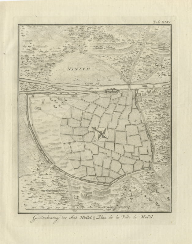
Antique Plan of the City of Mosul on the Tigris, 1780
1780 · € 310
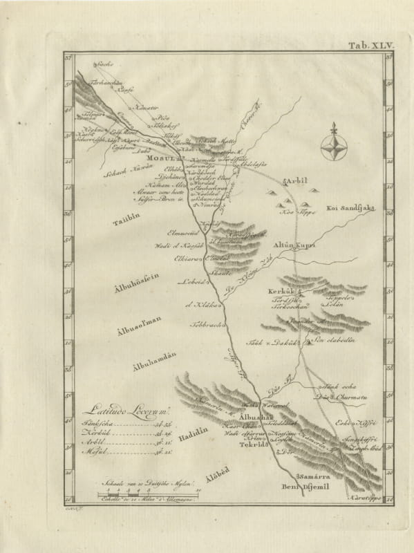
Antique Map of Mosul, Kirkuk and Samarra, Niebuhr, 1780
1780 · € 330
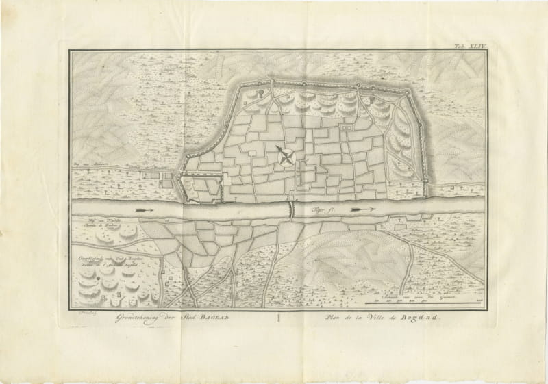
Antique Plan of the City of Baghdad, Niebuhr Engraving, 1780
1780 · € 150
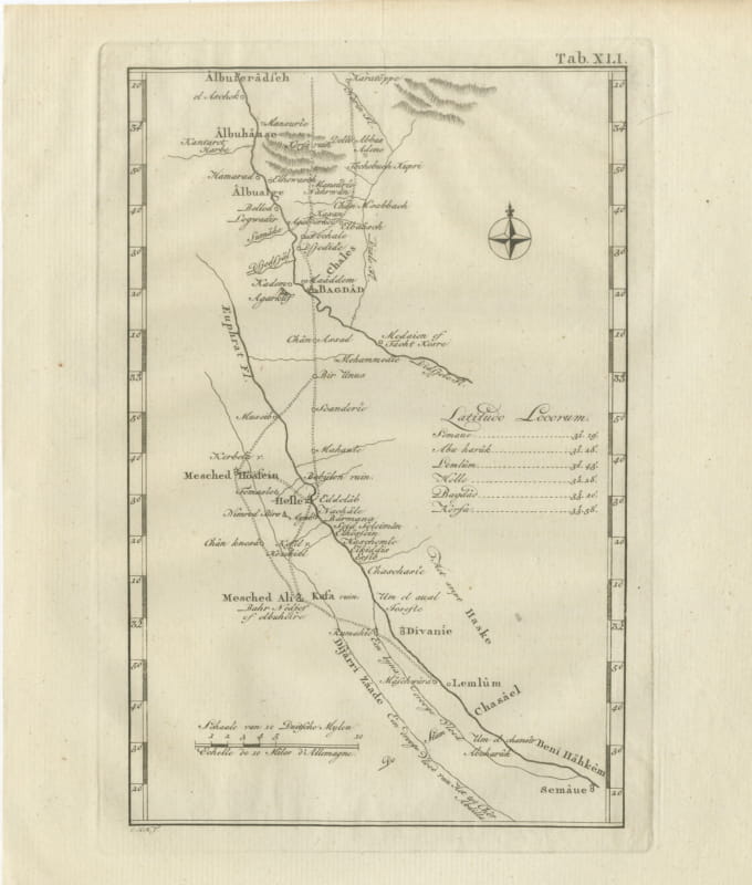
Antique Map of Babylon, Baghdad and the Euphrates, 1780
1780 · € 340
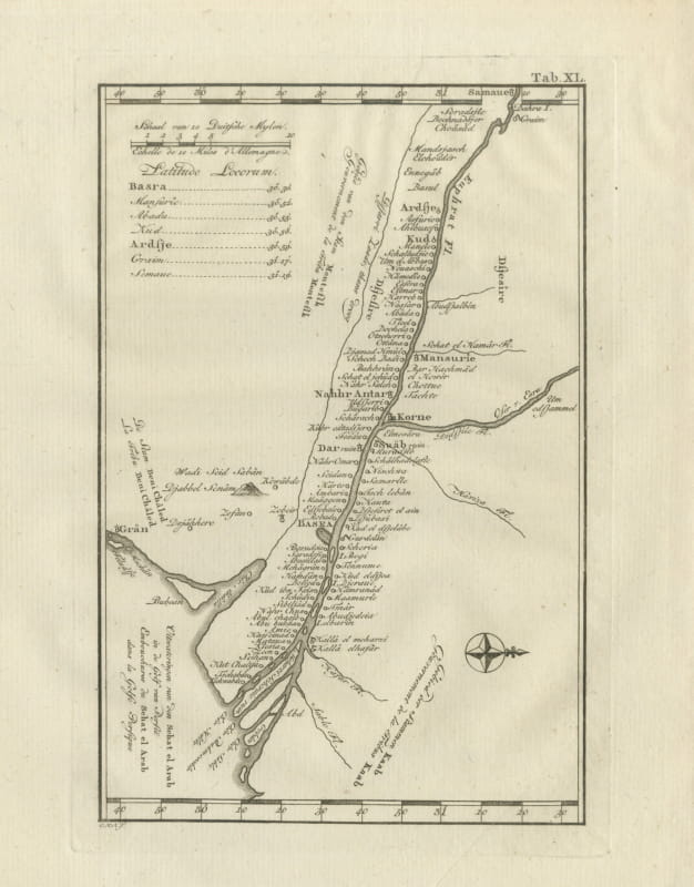
Antique Map of the Shatt al Arab and Basra, Niebuhr, 1780
1780 · € 340
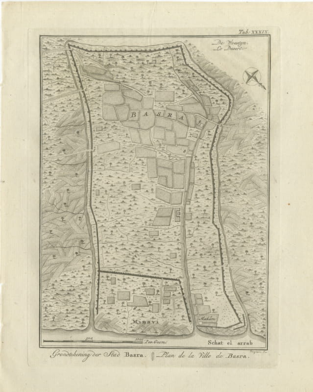
Antique Plan of the City of Basra, Niebuhr Engraving, 1780
1780 · € 230
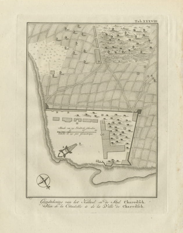
Plan of the Citadel and Town of Kharg Island, Antique Print, 1780
1780 · € 295
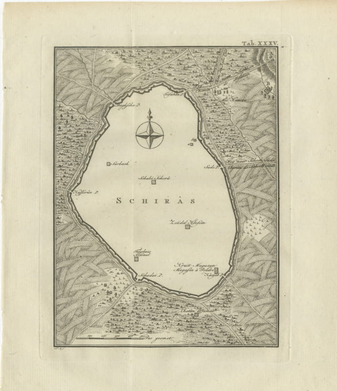
Antique Plan of the City of Shiraz in Persia, Niebuhr, 1780
1780 · € 170
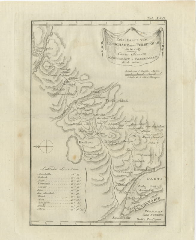
Route Map from Bushire to Persepolis and Back, Antique Print, 1780
1780 · € 230
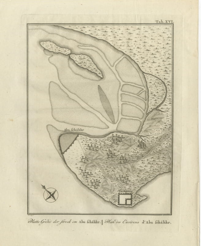
Plan of the Country around Bushire in Persia, Antique Print, 1780
1780 · € 220
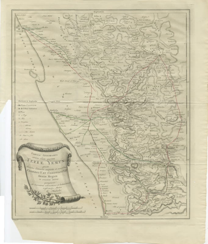
Antique Map of Yemen from the Danish Expedition, Niebuhr, 1776
1776 · € 450
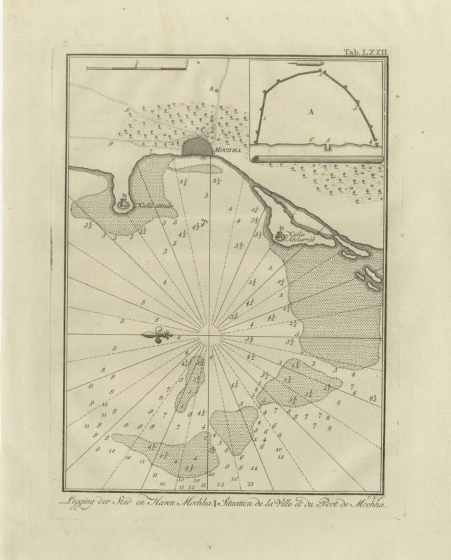
The Town and Port of Mocha in Yemen, Antique Niebuhr Chart, 1776
1776 · € 290
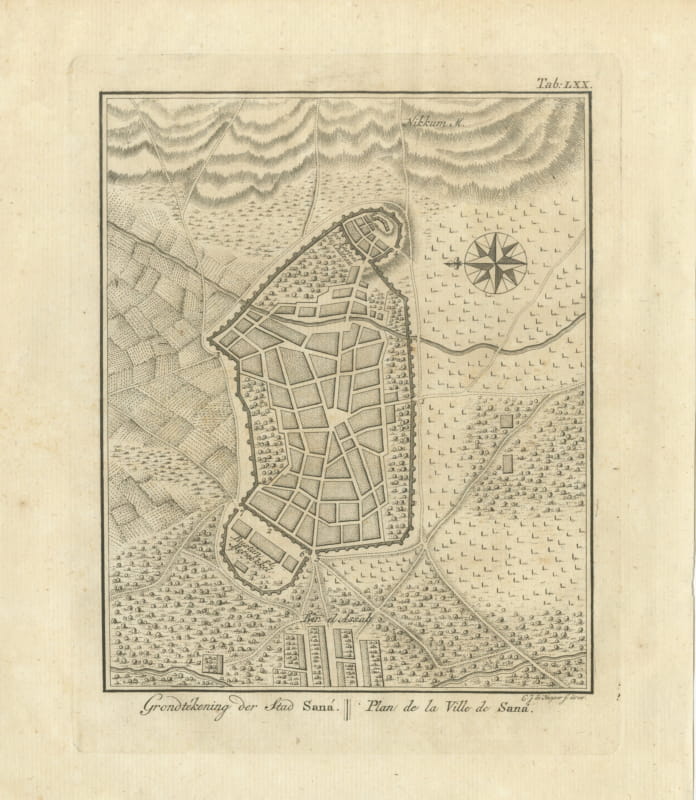
Antique Plan of the City of Sana, Capital of Yemen, 1776
1776 · € 330