Antique Maps of Western Europe
690 original sheets

Antique Botanical Prints Set, German Wildflower Atlas Plates, Stuttgart 1885
1885 · € 360
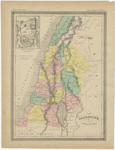
Palestine Divided into Tribes Map with Ancient Jerusalem, Paris, c.1850
1850 · € 299
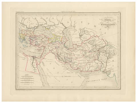
Empire d’Alexandre Map of Alexander the Great’s Empire, Paris, c.1850
1850 · € 410
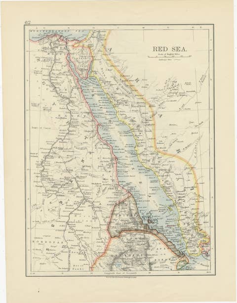
Red Sea Map by W. & A.K. Johnston, Edinburgh & London, c.1895
1895 · € 295
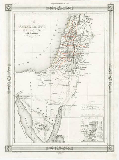
Holy Land Map, Jerusalem & Sinai — Dufour Biblical Map, Paris 1846
1846 · € 495
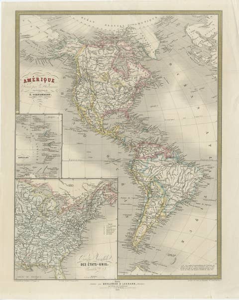
French Map of the Americas by Cortambert – North & South America 1864
1864 · € 399
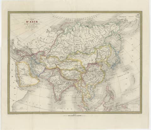
French Map of Asia by Cortambert – Russia, China & India, 1864
1864 · € 499
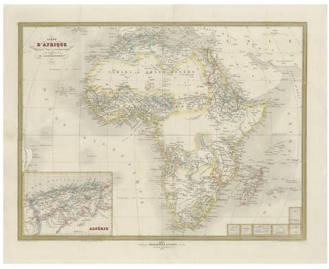
French Map of Africa by Cortambert – Sahara, Egypt & Algeria, 1864
1864 · € 475
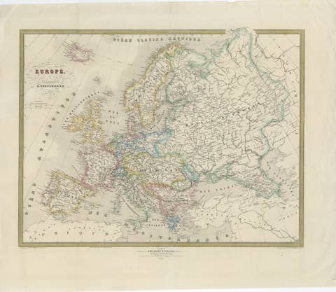
French Map of Europe by Cortambert – Russia, Scandinavia & Balkans, 1864
1864 · € 379
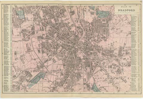
Victorian Bradford Street Plan Map – Edward Weller 1885, Wool Capital
1885 · € 339
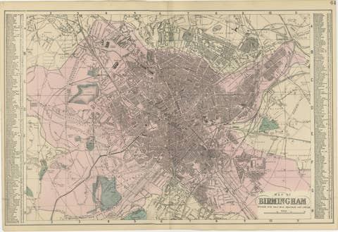
Victorian Birmingham City Plan Map – Edward Weller 1885, Workshop of the World
1885 · € 339
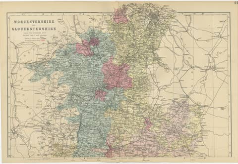
Worcestershire & Gloucestershire County Map – Weller, Victorian England 1885
1885 · € 329
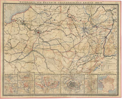
Franco-Prussian War Campaign Map of France and Germany, Original 1871
1871 · € 3 250
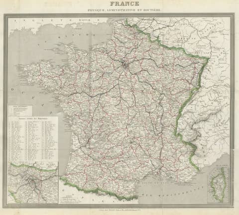
Antique Map of France by Alexandre Vuillemin – Road Map c.1850
1850 · € 375
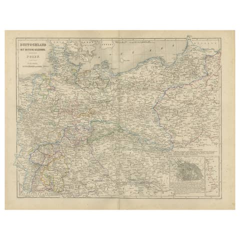
Germany Map with Berlin Inset – Het Duitsche Keizerrijk, Nieuwe Hand-Atlas 1876
1876 · € 350

Austria–Hungary Map with Vienna Inset – Nieuwe Hand-Atlas, Leiden 1876
1876 · € 340
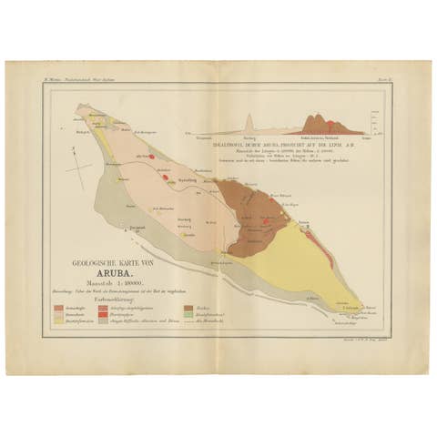
Antique Geological Map of Aruba - Dutch West Indies by Karl Martin, 1888
1888 · € 390
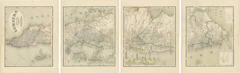
An Impressive Four-Sheet Map Set of Sumatra from the Dutch East Indies, 1884
1884 · € 770
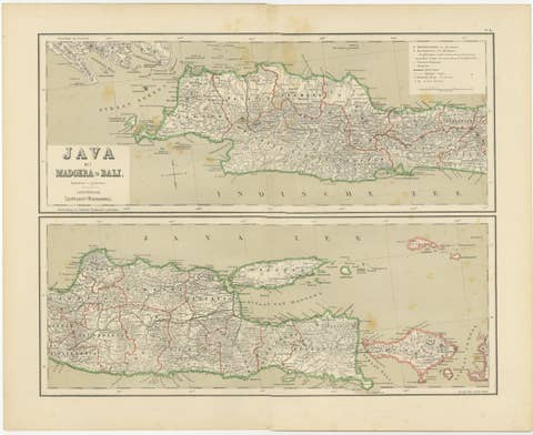
Old Map of Java, Madura & Bali - Dutch East Indies Colonial Cartography, 1884
1884 · € 360
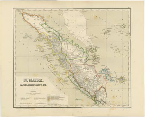
Antique Map of Sumatra, Bangka Belitung and Riau in the Dutch East Indies, 1884
1884 · € 440
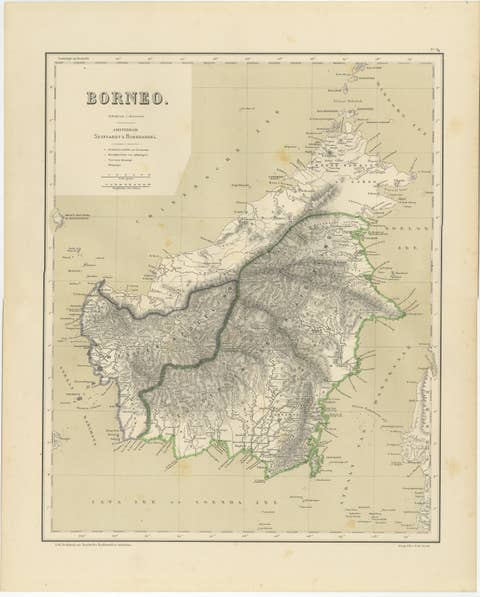
Rare Antique Map of Borneo (Kalimantan), Dutch East Indies Colonial Era, 1884
1884 · € 440
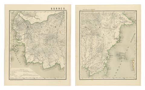
Antique Map Set of Western & Southern Borneo, Dutch East Indies Era, 1884
1884 · € 640
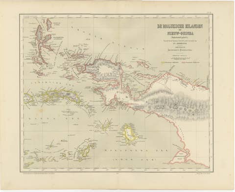
Antique Colonial Dutch Map of the Moluccas & New Guinea by Dornseiffen, 1884
1884 · € 390
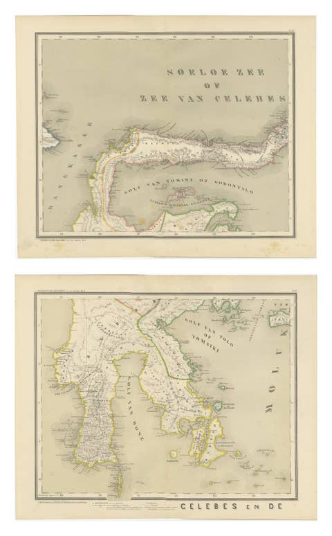
Antique Two-Sheet Map of Celebes Sulawesi - Dornseiffen, Dutch East Indies, 1884
1884 · € 440
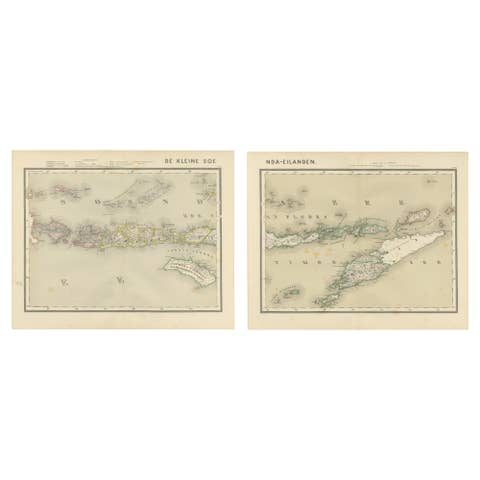
Antique Two-Sheet Map of the Lesser Sunda Islands, Dutch East Indies - 1884
1884 · € 340
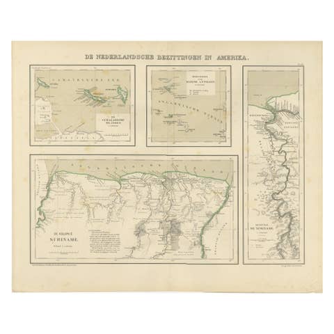
Antique Map of Dutch Colonies in the Caribbean & Suriname by Dornseiffen, 1884
1884 · € 390

Napoleonic Wars: Germany Allied Military Campaign Map by Ausfeld, 1814
1814 · € 1 800
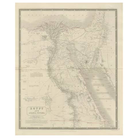
Egypt & Arabia Petraea – Large Nile Map, British Cartography, c.1815
1815 · € 840
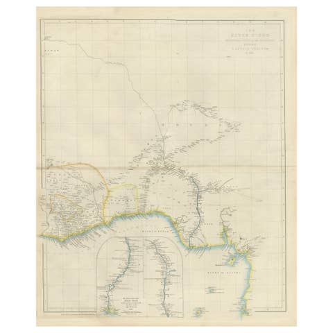
Antique Niger River Map, Arrowsmith, British Expedition under Trotter, 1855
1855 · € 1 260

Antique Map of Ancient Gaul – Roman France & Low Countries, Engraving c.1818
1818 · € 790
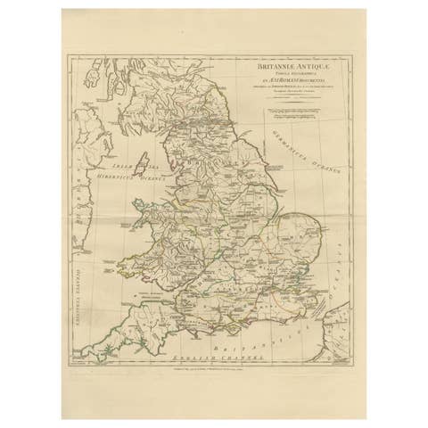
Antique Map of Ancient Britain – Roman England, Wales & Scotland, c.1818
1818 · € 990
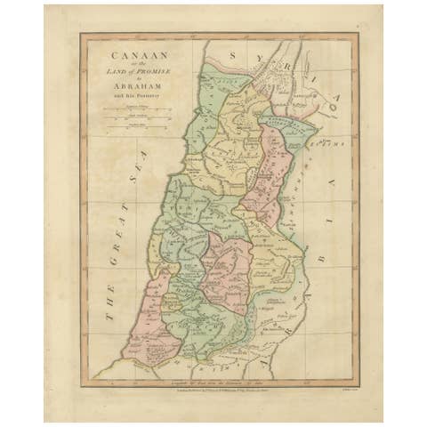
The Land of Promise — Elegant Hand-Colored Biblical Map of Canaan, London 1827
1827 · € 320
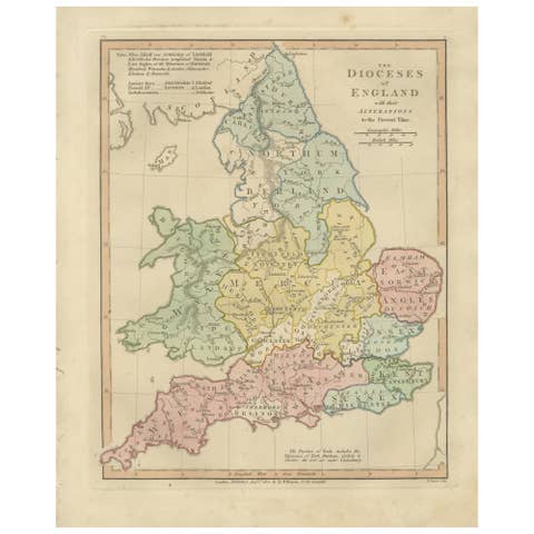
Dioceses of England — Ecclesiastical Map of England, Wilkinson 1801
1801 · € 340
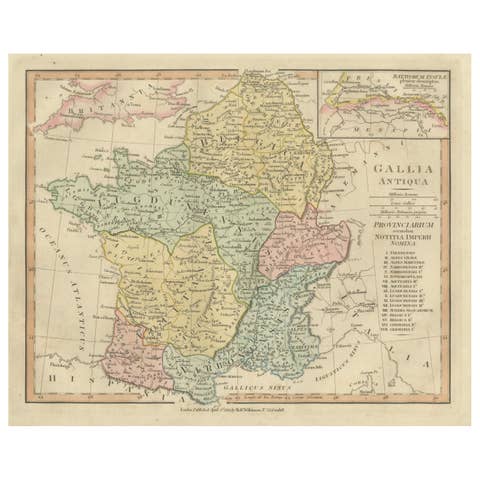
Roman Gaul Provinces Map — Gallia Antiqua, Classical France & Rhine, 1815
1815 · € 260
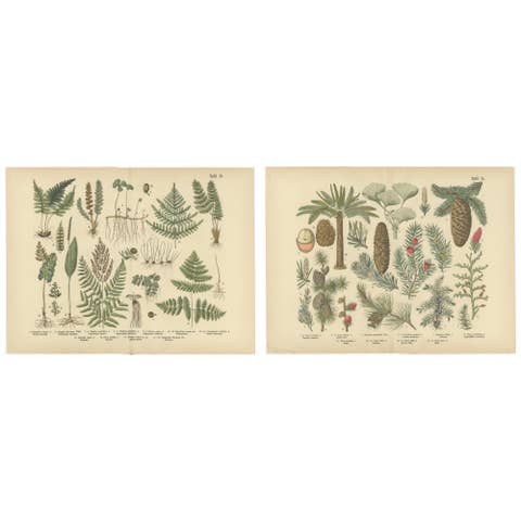
Antique German Botanical Atlas Plates, Tafel 13–14, Ferns & Conifers, 1885
1885 · € 290
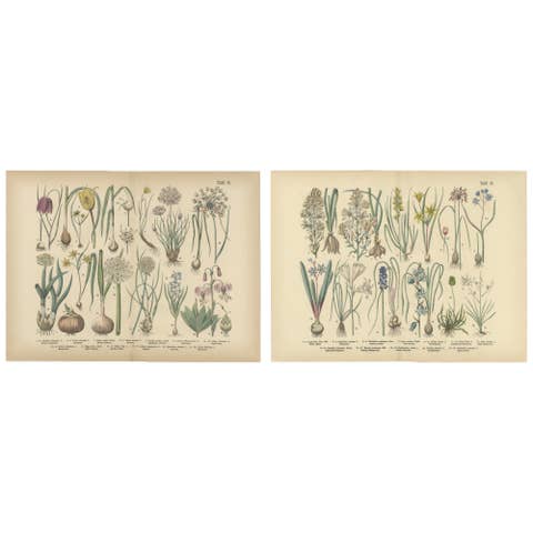
Antique German Botanical Atlas Plates, Tafel 15–16, Bulb Flowers, 1885
1885 · € 300
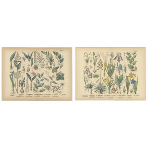
Antique German Botanical Atlas Plates, Tafel 17–18, Lilies & Irises, 1885
1885 · € 290
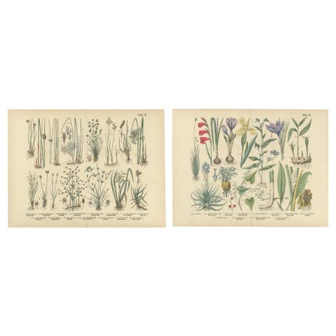
Antique German Botanical Atlas Plates, Grasses & Exotic Plants, 1885
1885 · € 310
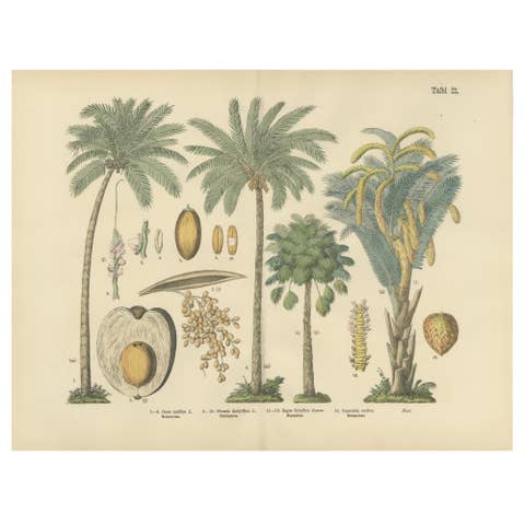
Antique Palm Tree Botanical Print, Exotic Tropical Plate, German Atlas 1885
1885 · € 275
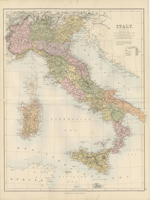
Antique Map Italy, Bartholomew for Black’s General Atlas, Edinburgh 1884
1884 · € 339
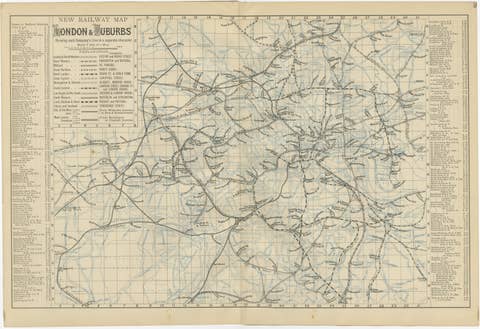
Decorative London Railway Map, Victorian Transport Plan of London & Suburbs 1885
1885 · € 440
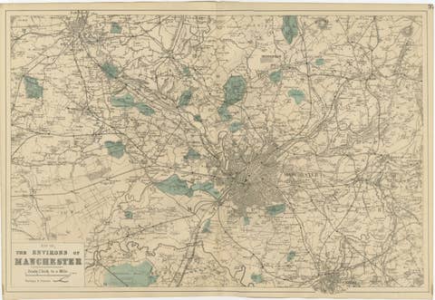
Antique Map of Manchester & Environs, Victorian Industrial Lancashire Map, 1885
1885 · € 339
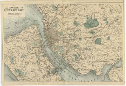
Original Antique Map of Liverpool and Environs, Victorian Mersey Atlas Map, 1885
1885 · € 359
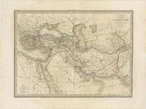
Antique Alexander the Great Map, Persia India Asia, French Atlas 1838
1838 · € 395
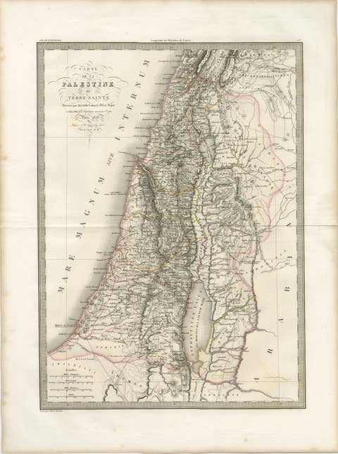
Antique Map of Palestine and the Holy Land – Lapie, Paris, 1838
1838 · € 479

Antique Double Map of Europe, Barbarian Invasions – Lapie, Paris, 1838
1838 · € 499

Antique Double Hemisphere World Map – Lapie, Paris, 1838
1838 · € 399

British Isles Antique Map – England, Scotland & Ireland, Lapie Paris 1836
1836 · € 525