About this sheet
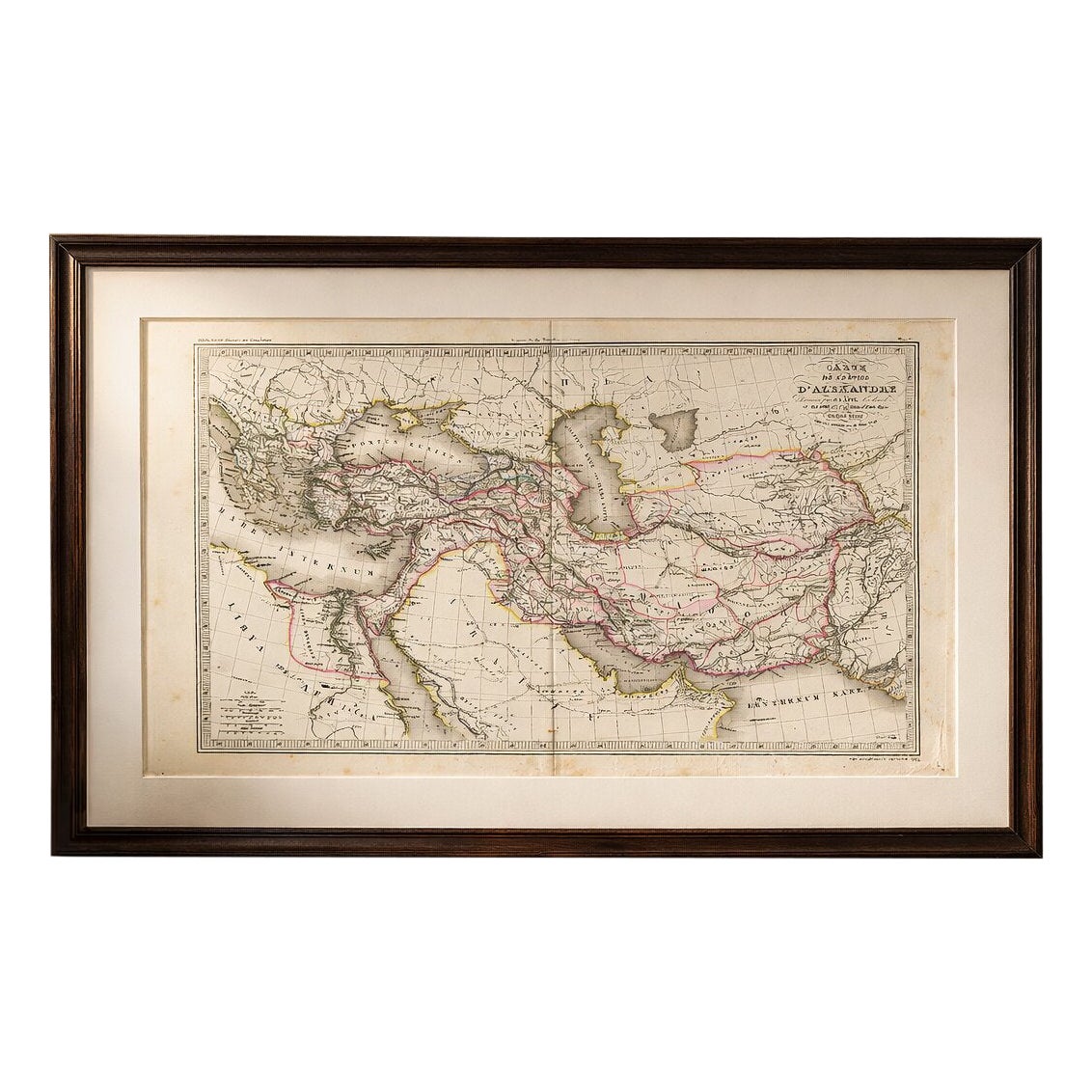

Antique Alexander the Great Map, Persia India Asia, French Atlas 1838
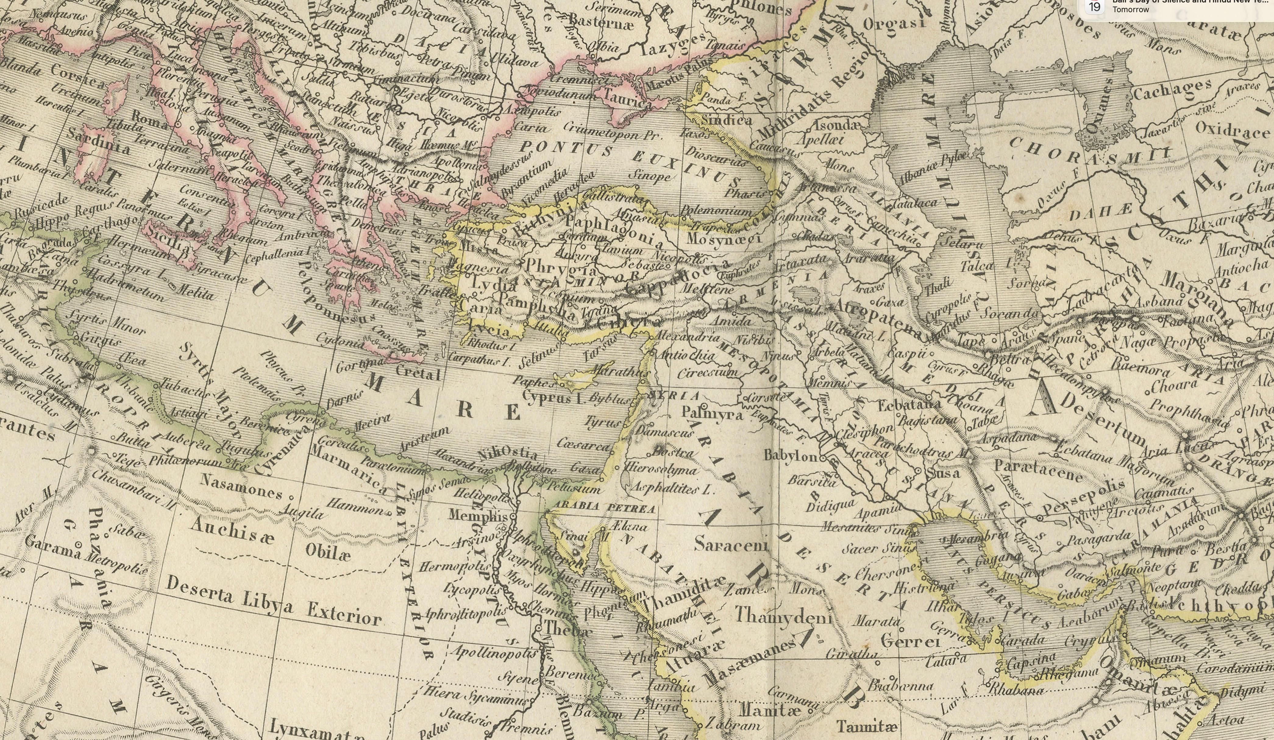
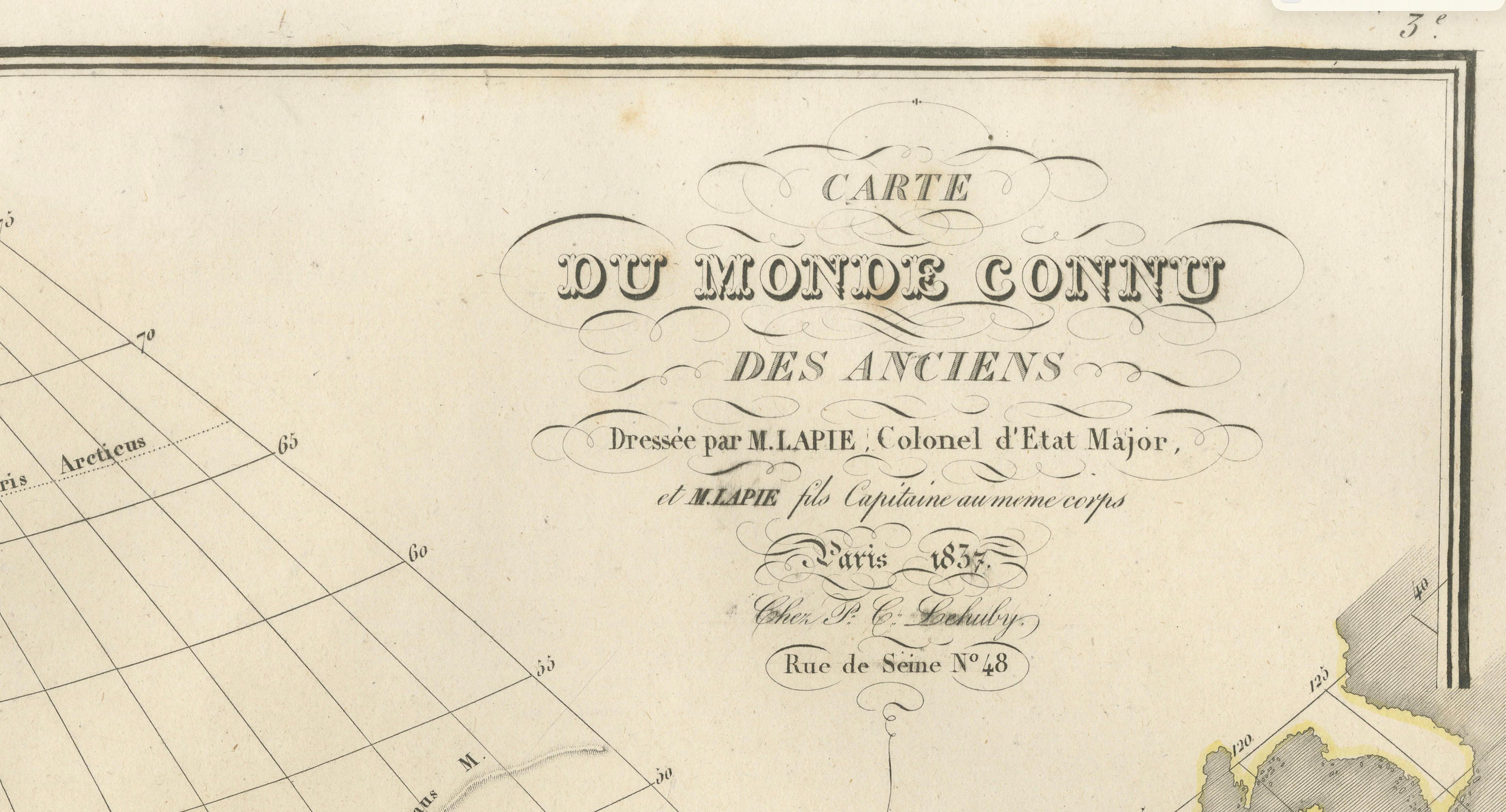
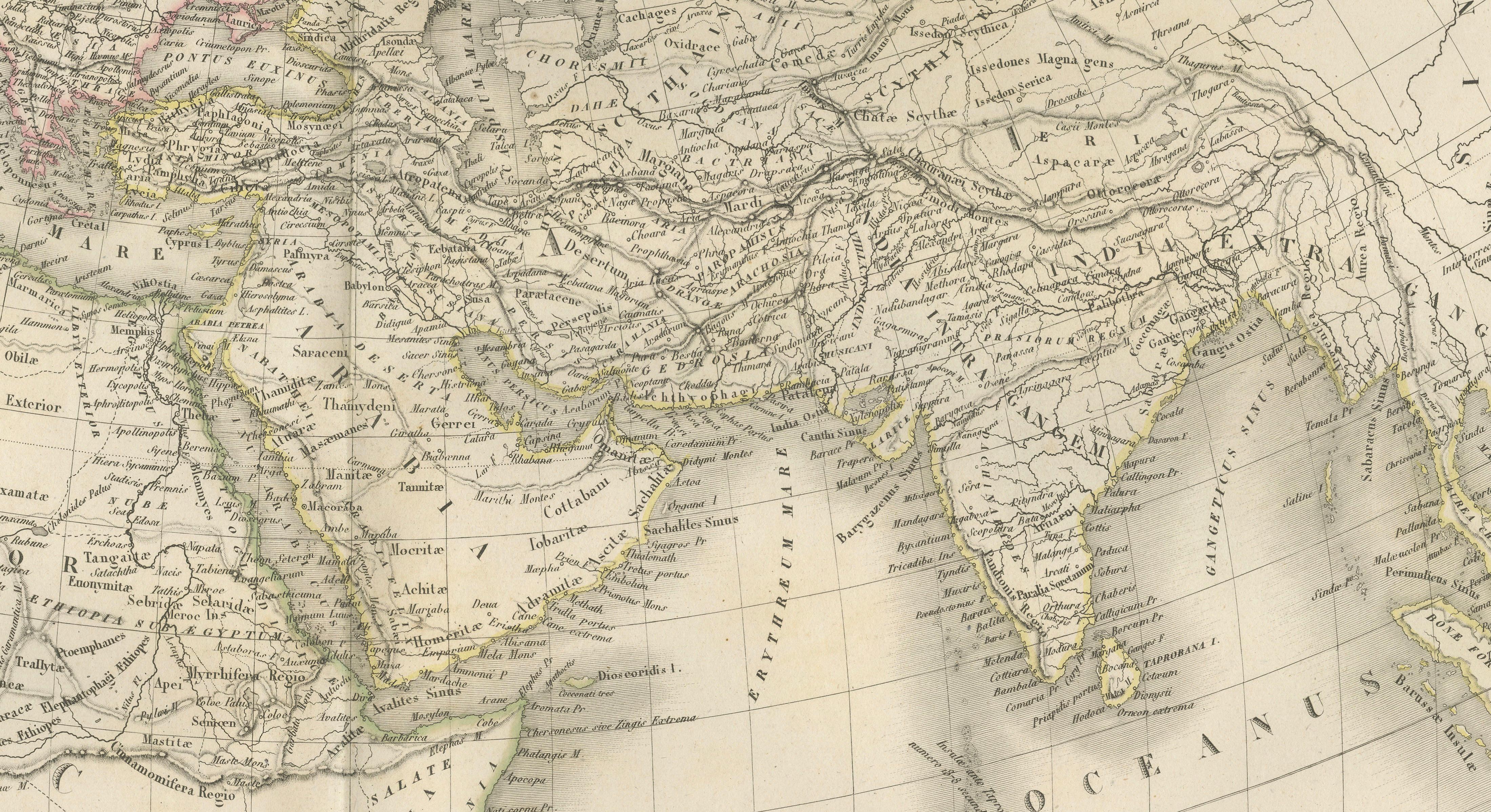
This finely engraved historical map titled Carte de l’Empire d’Alexandre was published in Paris in 1838 as part of the celebrated Atlas Universel de Géographie Ancienne et Moderne by the distinguished French cartographer M. Lapie. Engraved by P. Tardieu. The atlas is known for its clarity, scholarly accuracy, and elegant presentation, reflecting the high standards of French cartography in the early 19th century.
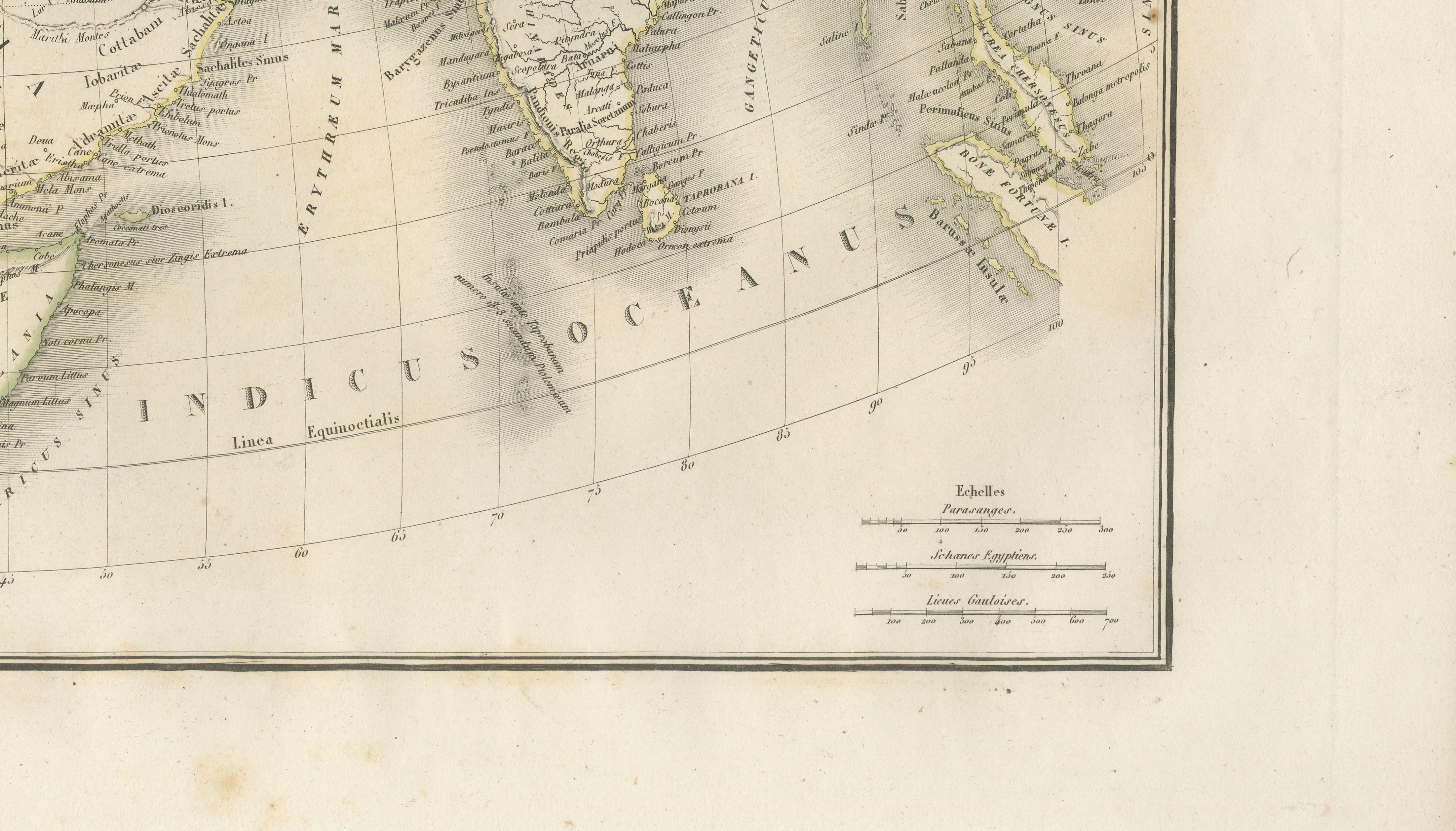
The map illustrates the vast empire of Alexander the Great at its greatest extent, spanning from the eastern Mediterranean across Asia Minor, Egypt, the Near East, Persia, and into the Indian subcontinent. Carefully delineated borders, highlighted in delicate hand color, trace the reach of Alexander’s conquests, while an intricate network of rivers, cities, and ancient regions provides rich geographical and historical context.
The composition is both informative and visually appealing, combining precise engraving with subtle coloring to distinguish territories and routes. Major geographical features such as the Mediterranean, Black Sea, Caspian Sea, and the Persian Gulf are rendered with fine shading, enhancing the depth and legibility of the map. The elegant title cartouche in the upper right corner further reinforces the refined aesthetic typical of Parisian atlas production of this period.
This map captures a pivotal moment in ancient history, when Greek influence extended across vast territories, shaping cultural and political developments for centuries. It appeals to collectors of historical maps, classical antiquity enthusiasts, and designers seeking a sophisticated and intellectually engaging decorative piece.
Condition report:
Good condition overall. Light age toning and scattered foxing visible, mainly in the margins. Original center fold as issued. Paper remains strong and stable. Plate mark visible.
Framing tips:
Ideal for a dark walnut or black frame with a generous ivory mat to enhance the subtle hand coloring and fine engraved detail. Works particularly well in a study, office, or as part of a gallery wall of historical maps.
Keywords:
antique map Alexander the Great, Lapie atlas 1838, ancient empire map, Persia India map antique, Asia Minor map 19th century, classical antiquity map, historical empire map, French atlas engraving, Alexander empire chart, Middle East antique map, ancient geography print, antique historical map, 19th century map engraving, decorative antique map, collectors map Alexander
Note: This map is an original antique engraving and not a reproduction. It is offered unframed. Any frame shown is for presentation purposes only.
Technique: Engraving with original hand coloring
Maker: M. Lapie, Paris, 1838