About this sheet
Antique Map of Borneo Dutch East Indies Colonial Kalimantan Cartography
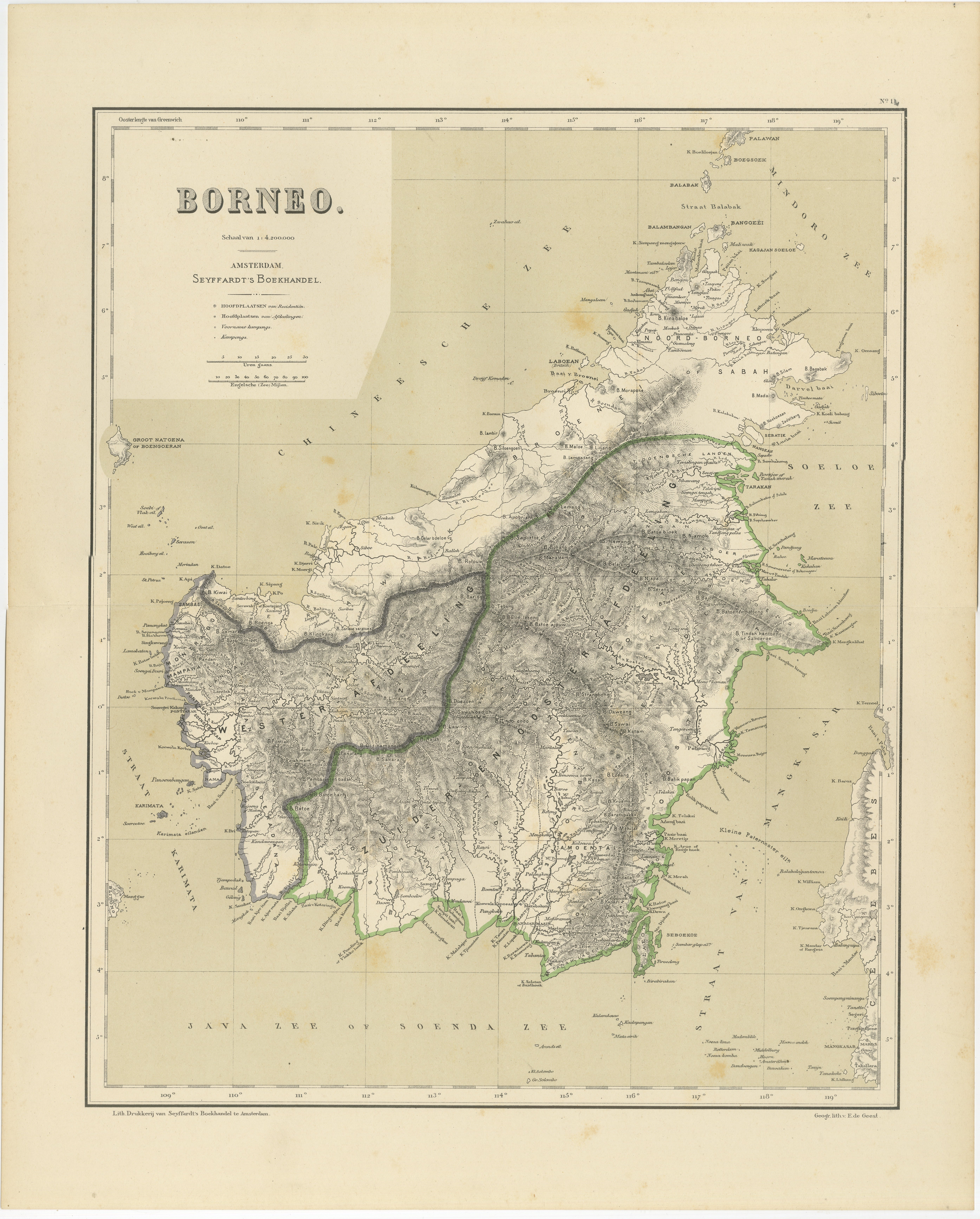
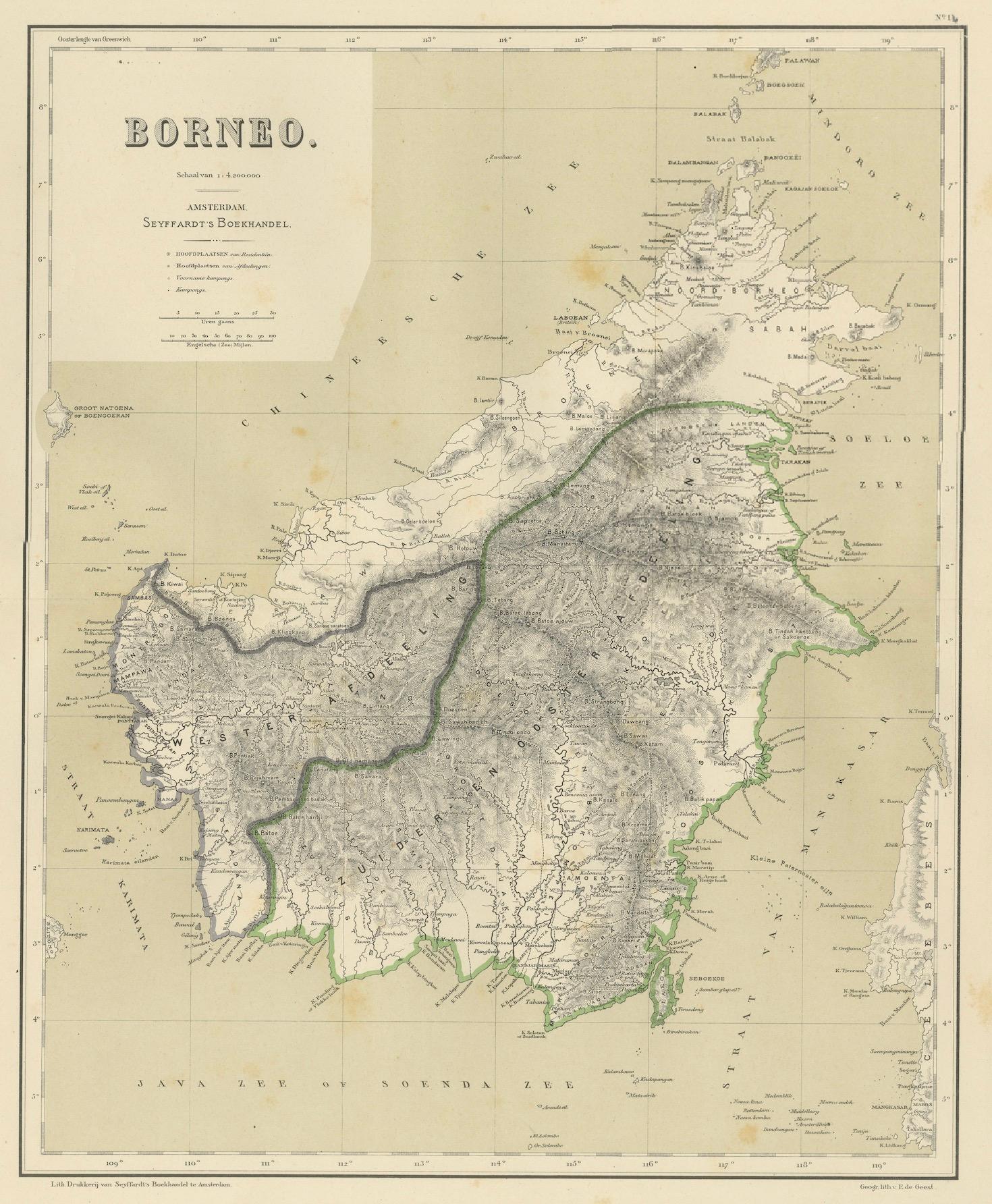
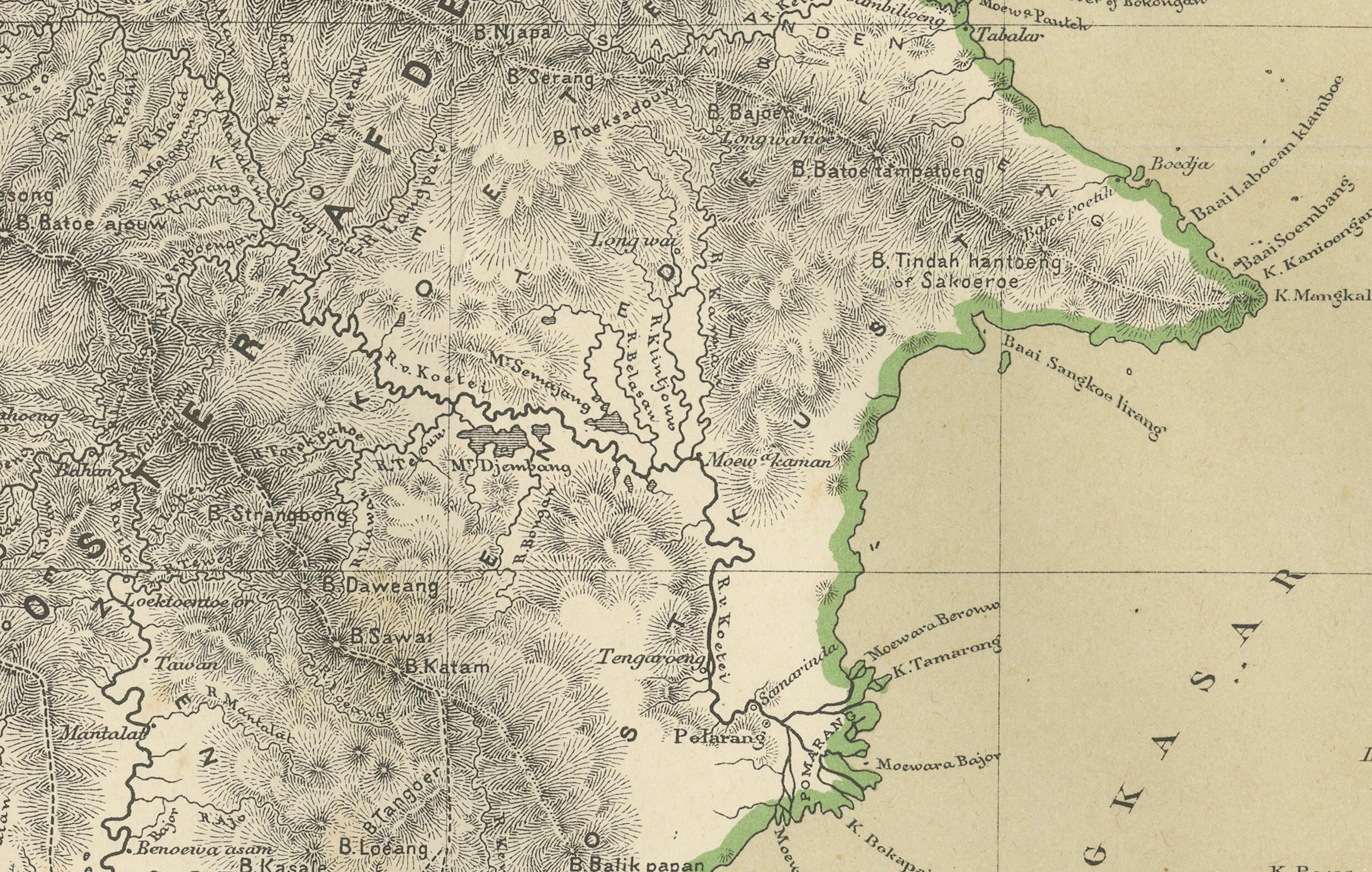
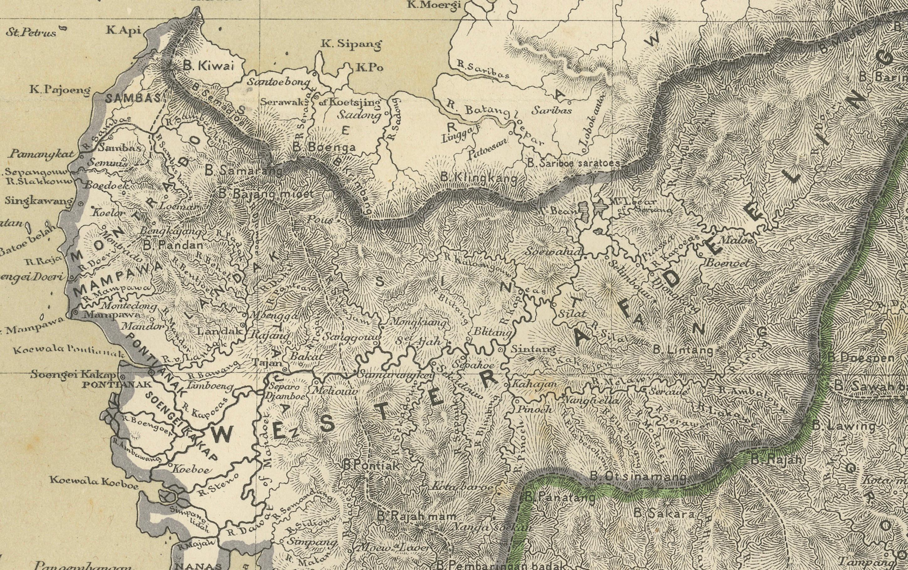
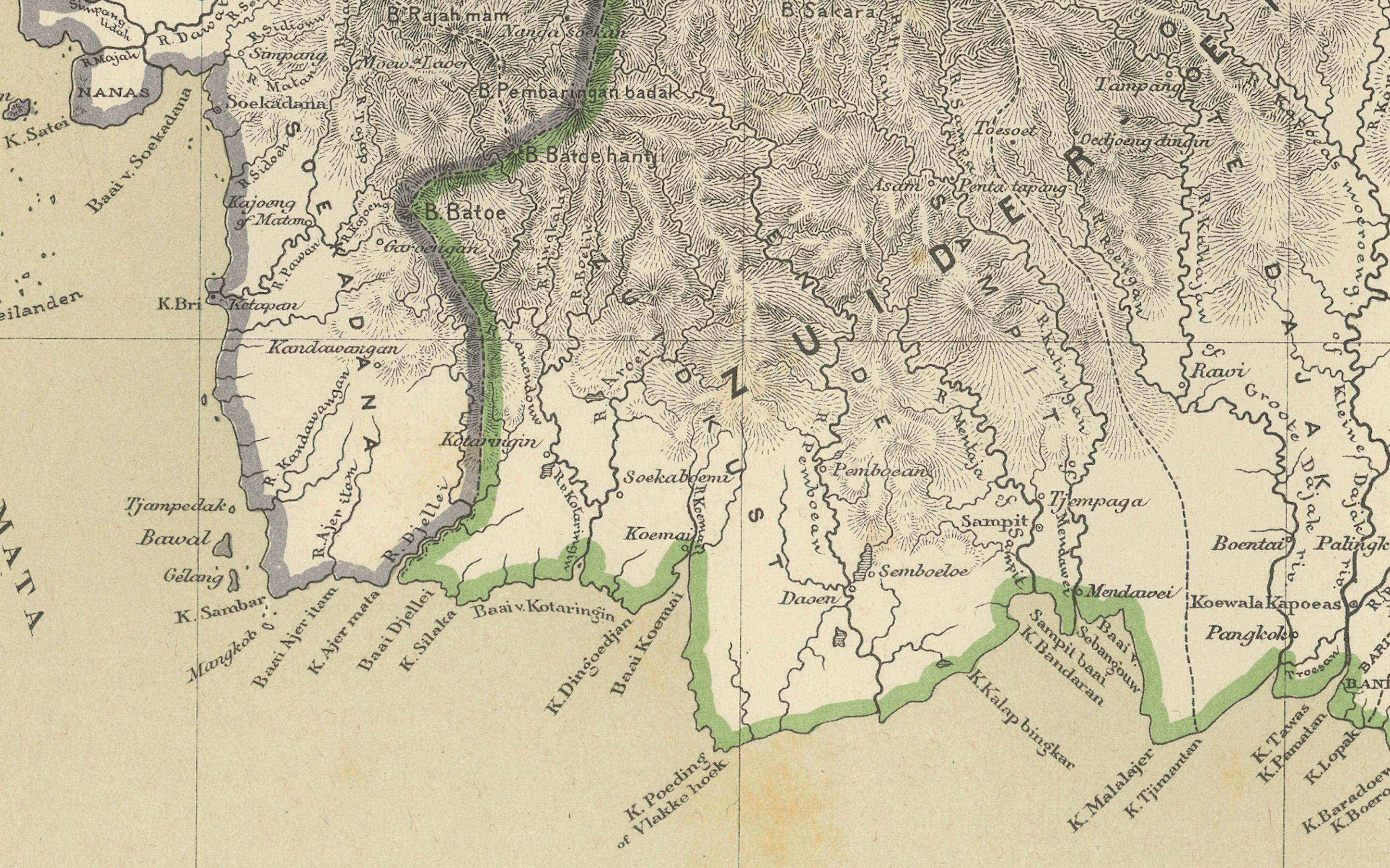
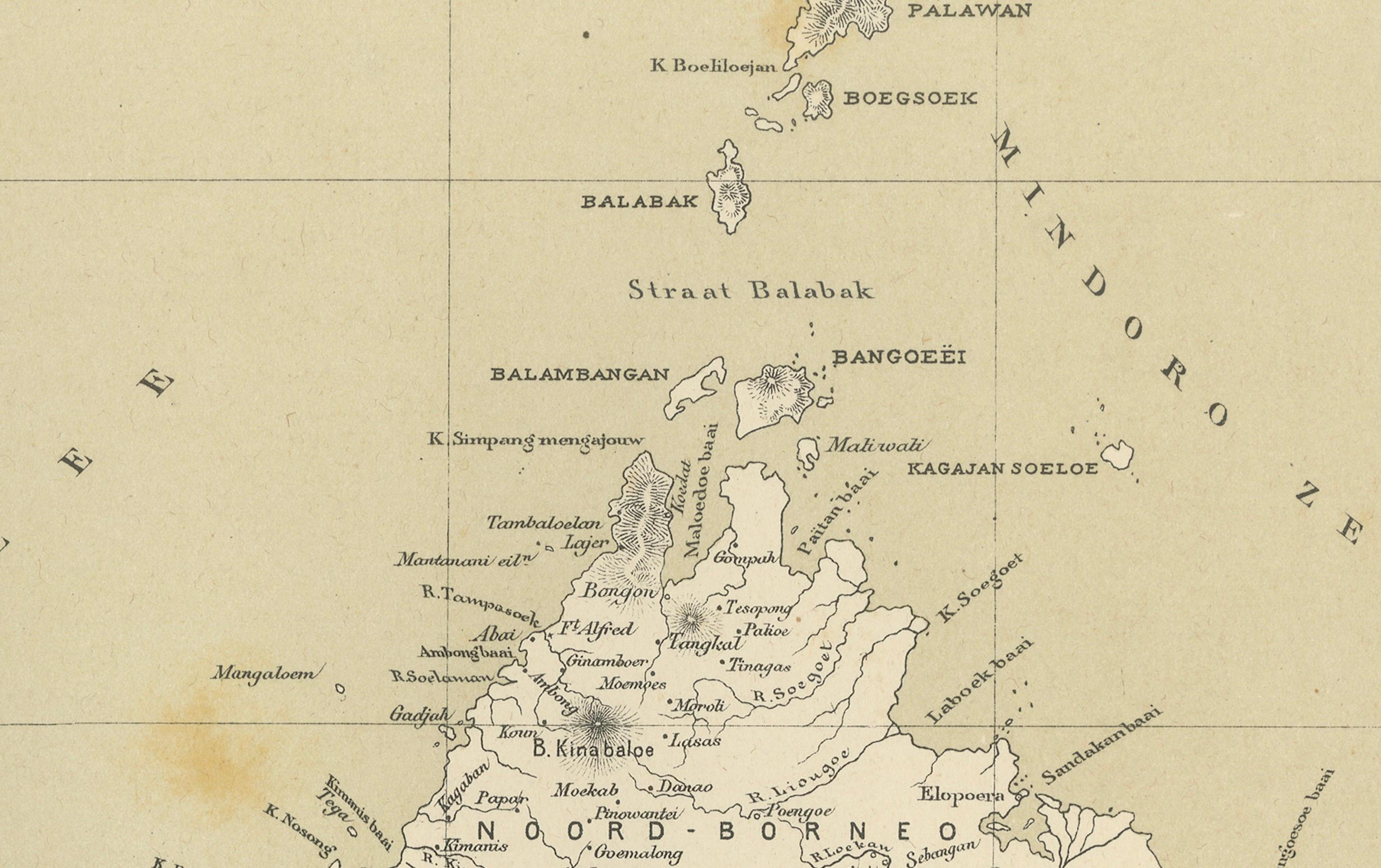
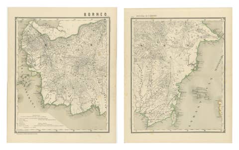
This decorative antique map depicts the island of Borneo in full during the late Dutch colonial period, showing the vast territory that today forms Indonesian Kalimantan together with the northern regions now belonging to Malaysia and Brunei. The map presents Borneo as one of the most important and least penetrated colonial landscapes of Southeast Asia, combining coastal navigation detail with deeply rendered interior topography.
NOTE: We do not sell this piece in a frame, but as a loose sheet.
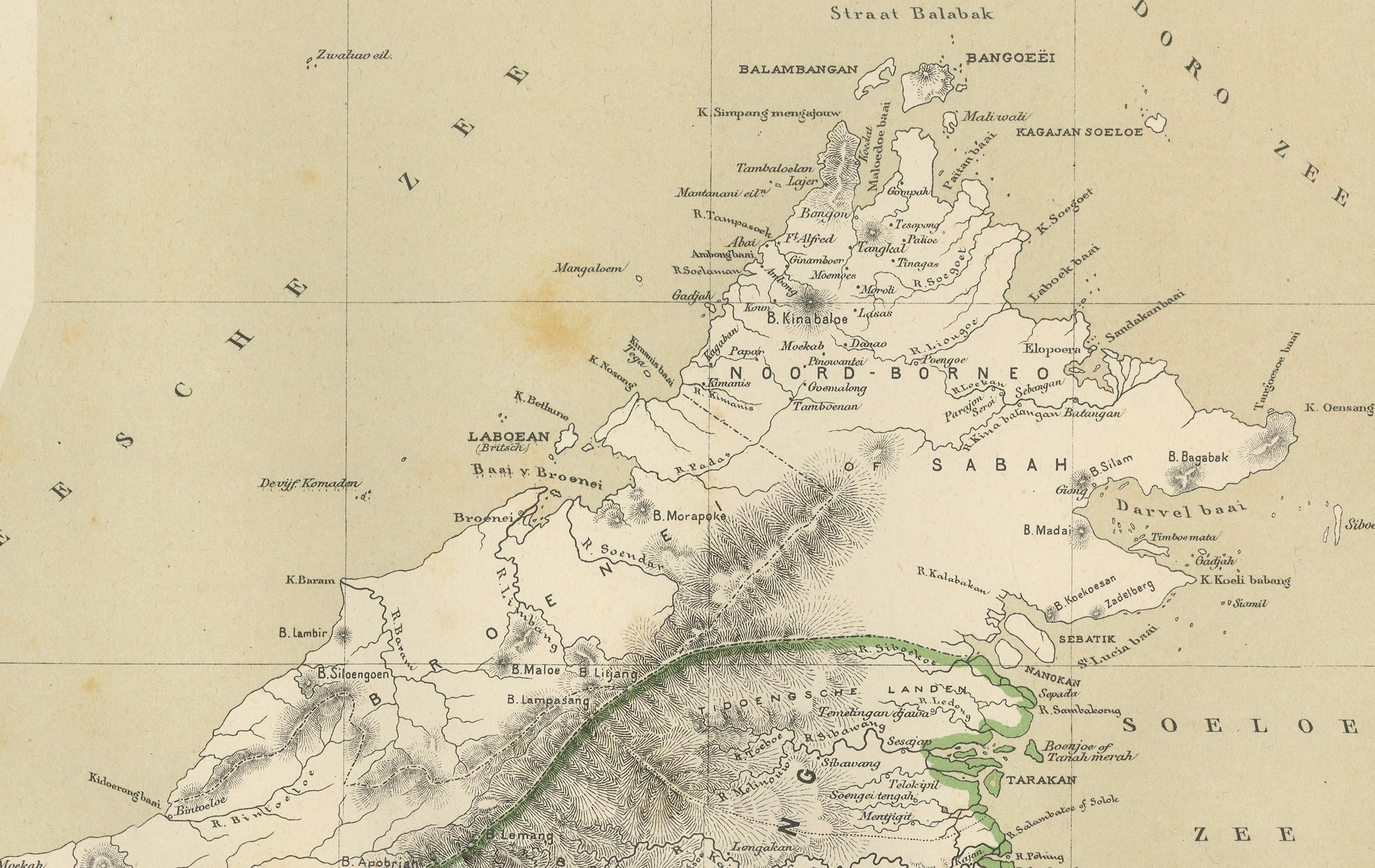
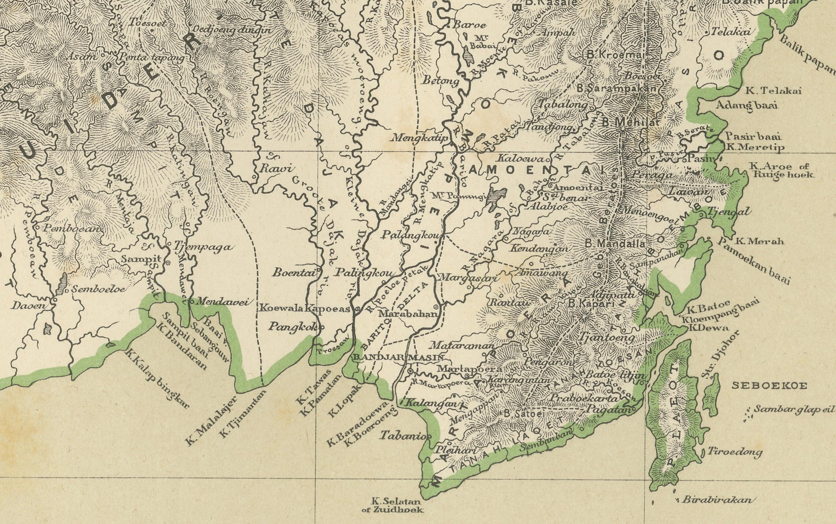
Mountain ranges, river systems, coastal settlements, trade routes, and colonial administrative boundaries are all shown with exceptional precision. The immense river networks dominate the composition, emphasizing Borneo’s role as a territory structured by waterways rather than roads. Coastal ports, trading posts, and strategic locations are clearly marked, reflecting the economic and geopolitical interests of the Dutch colonial administration.
Original hand-applied color highlights province boundaries and coastlines, creating a refined contrast against the dense engraved topographic detail. The palette is restrained and elegant, with soft greens and neutral tones that enhance both legibility and decorative presence. The scale and vertical composition give the map strong wall power and a quiet architectural authority.
Historically, this map captures Borneo at a moment when large parts of the interior were still only partially explored and documented by Europeans. It reflects the late 19th–early 20th century phase of Dutch colonial expansion, scientific surveying, and territorial consolidation in the East Indies.
This map is highly desirable for collectors of Southeast Asian cartography, colonial history, maritime trade, ethnographic exploration, and large-format historical wall maps. It displays exceptionally well in libraries, boardrooms, studies, and curated interiors that favor strong geographic statement pieces.
Condition report
Good overall condition with light, even age toning and scattered minor foxing consistent with age. Original hand coloring remains fresh. No major tears, no heavy staining, and no losses. Clean, strong impression.
NOTE: We do not sell this piece in a frame, but as a loose sheet.
Framing tips
This tall-format map is ideally framed with soft ivory or warm light-grey museum matting and a slim dark walnut, bronze, or restrained gilt frame. UV-protective museum glass is strongly recommended. Due to the vertical composition, it works especially well as a standalone statement piece on narrower wall sections.
Technique: Color lithography
Maker: Dutch colonial cartographic publication, Amsterdam, late 19th–early 20th century