About this sheet
Dioceses of England — Ecclesiastical Map of England, Wilkinson 1801
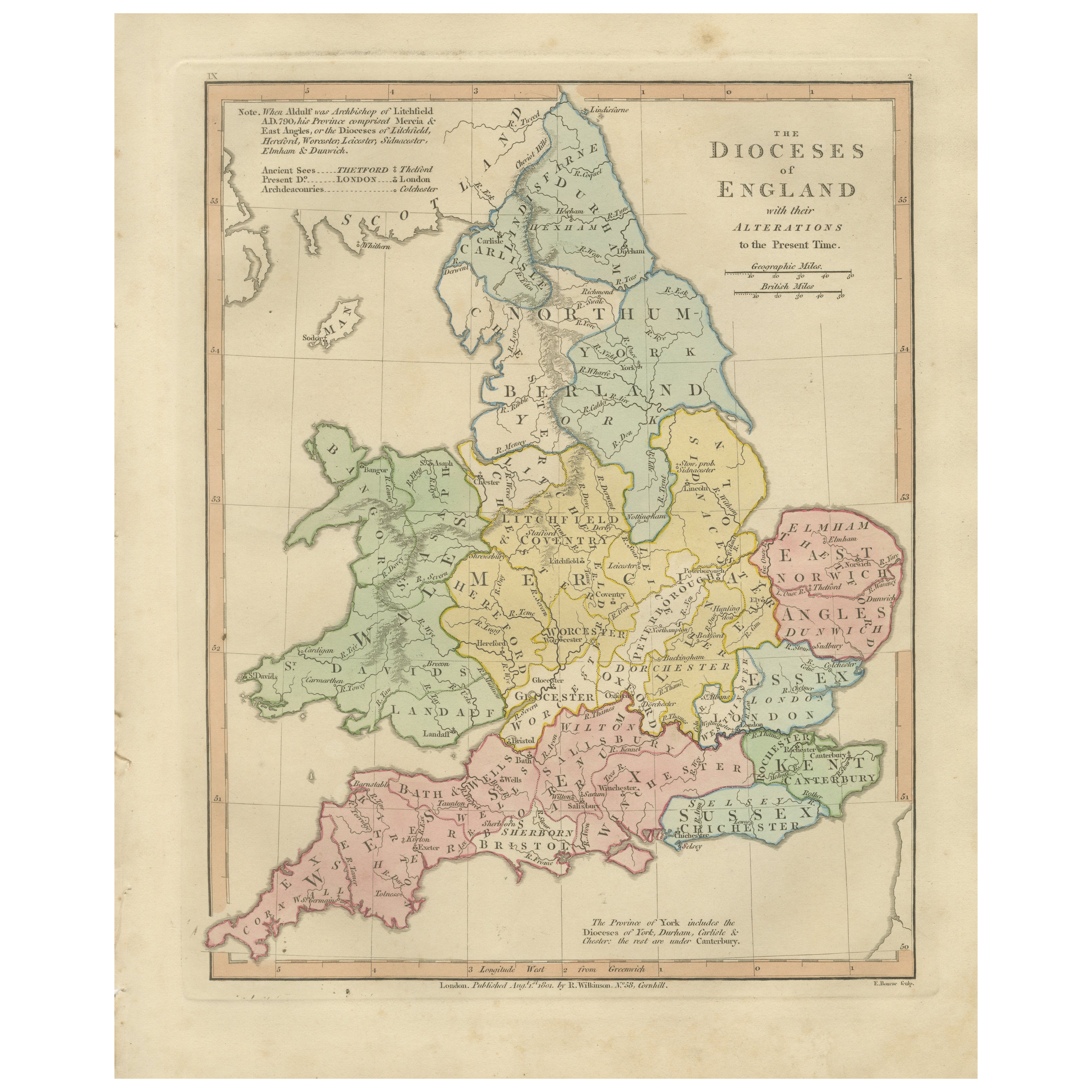
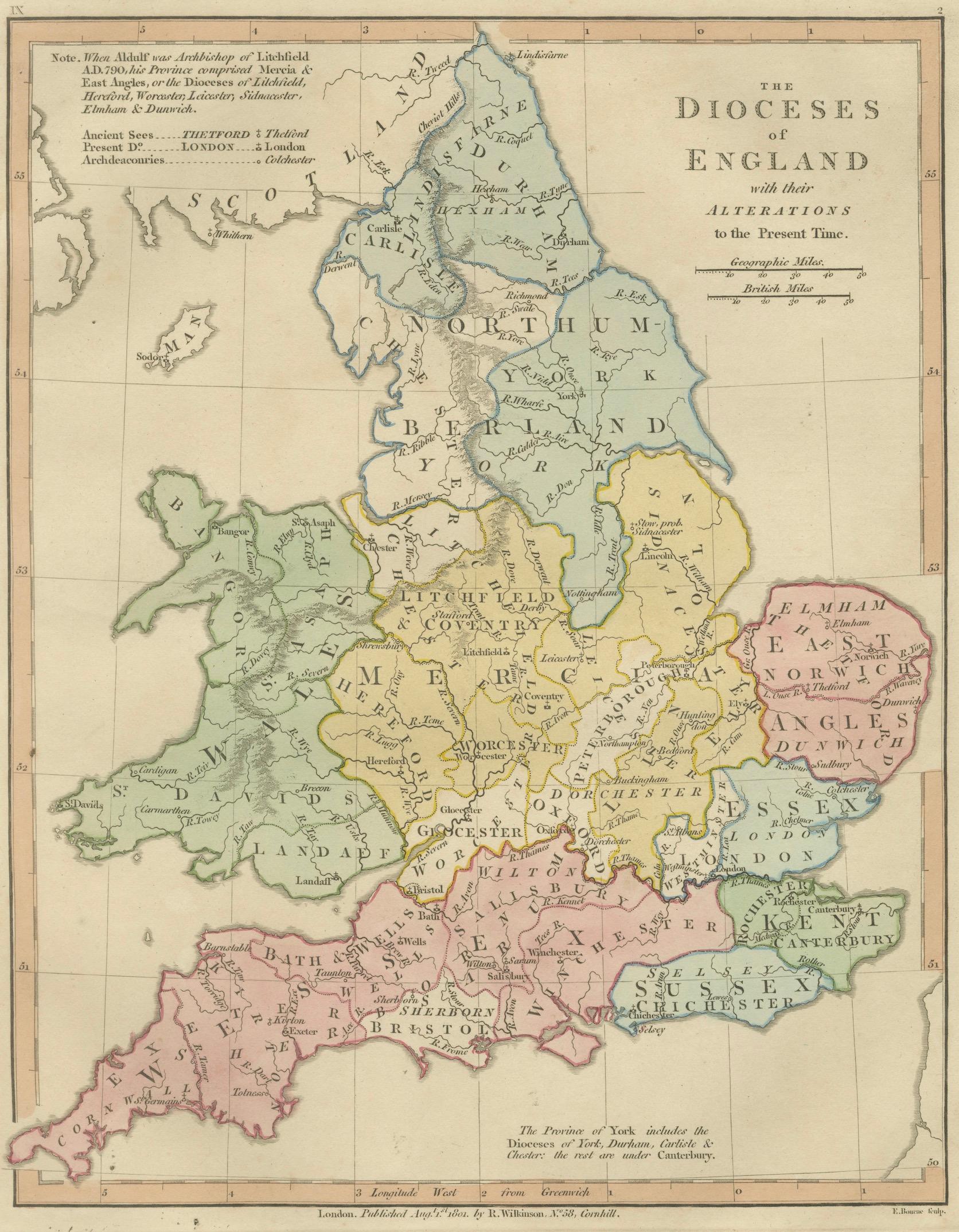
This finely engraved and delicately hand-colored map titled “The Dioceses of England with their Alterations to the Present Time” was published in London in 1827 as part of Wilkinson’s Atlas Classica, a scholarly atlas devoted to sacred geography, biblical history, and classical antiquity. The map presents a detailed ecclesiastical overview of England, illustrating the historical organization of Anglican dioceses and their development over time within a geographic framework.
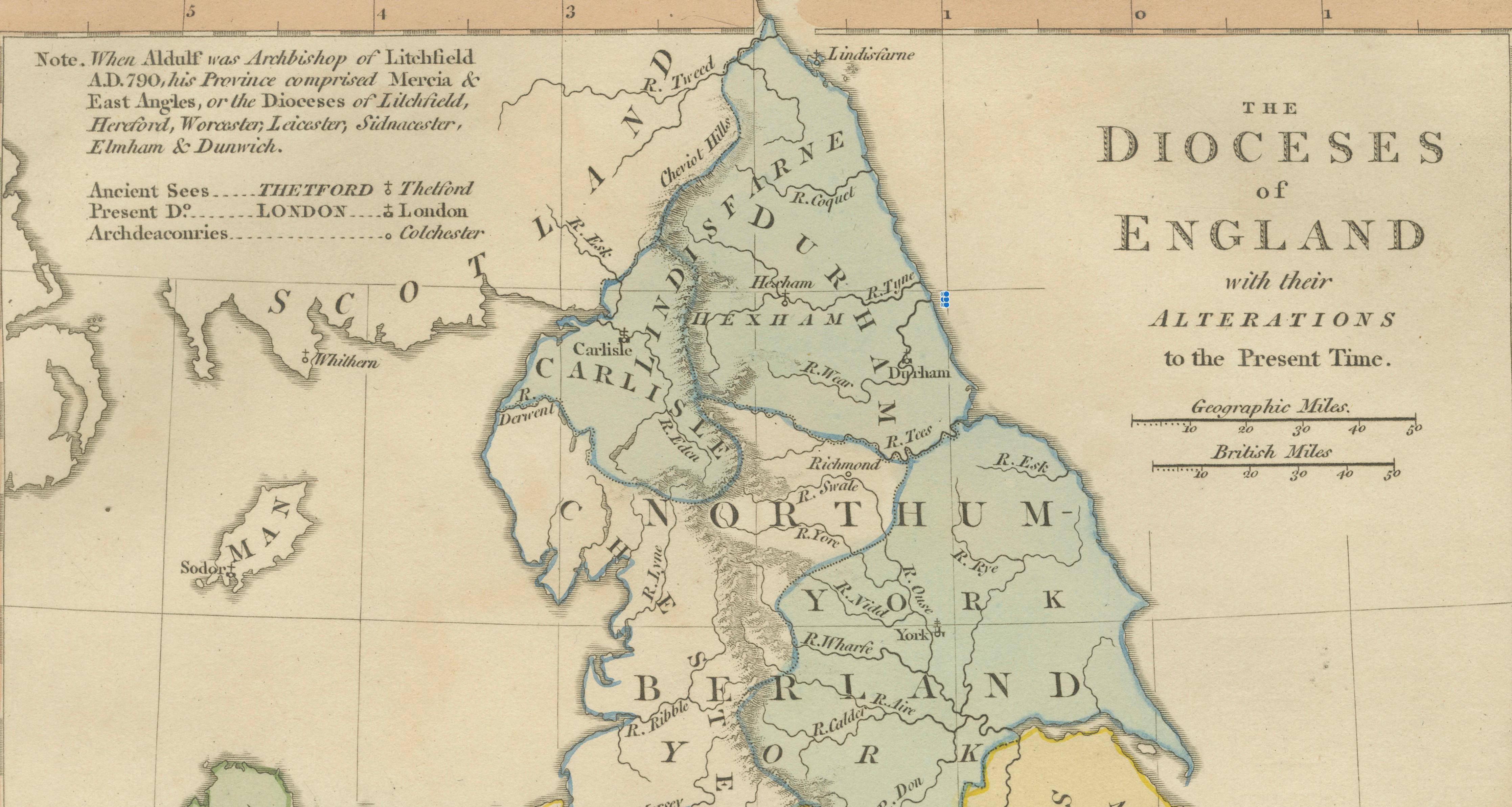
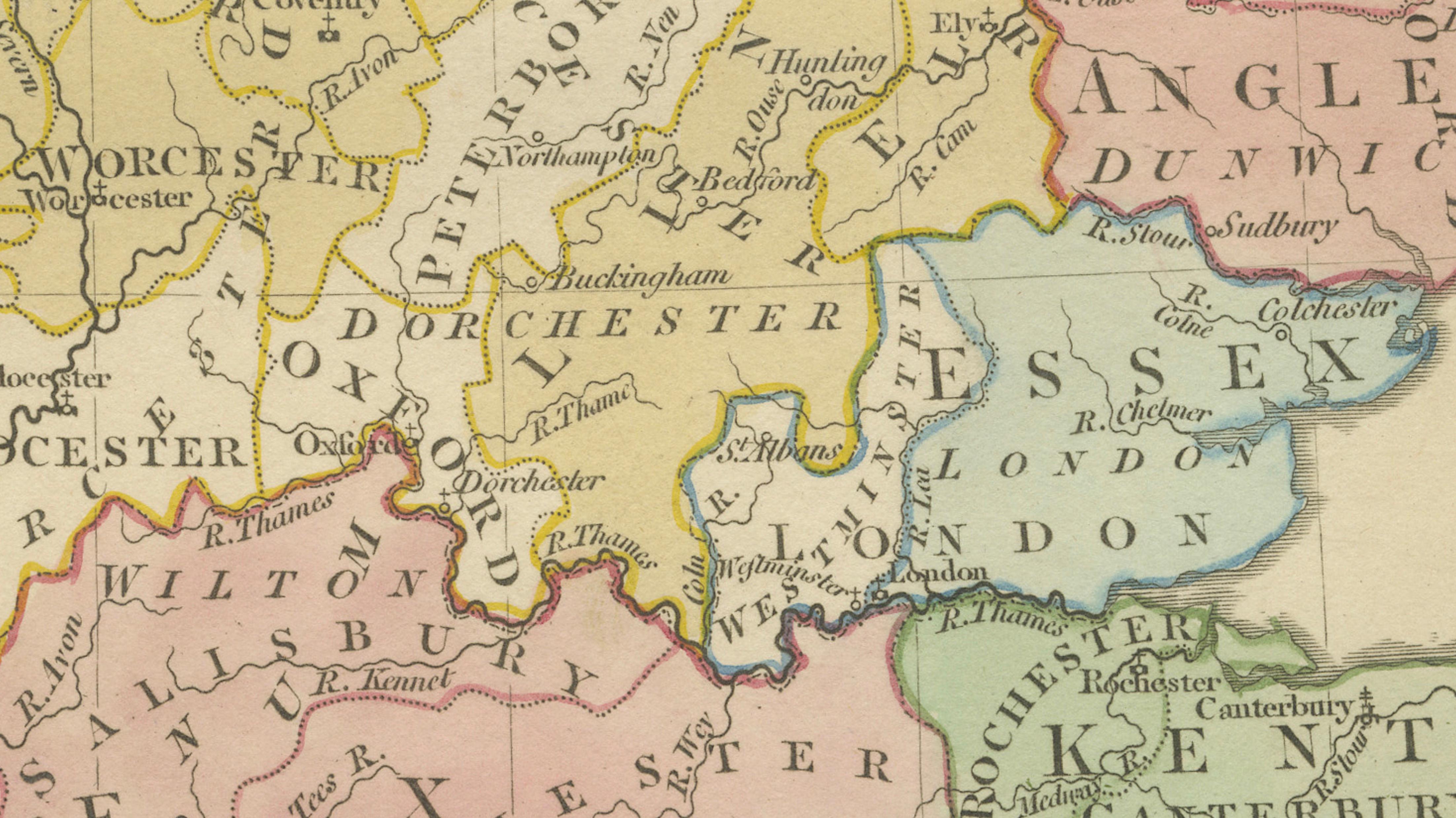
The composition focuses on England and Wales, delineating diocesan boundaries through subtle period hand coloring, each region carefully distinguished to enhance clarity and visual structure. Major ecclesiastical centers including Canterbury, York, London, Norwich, Exeter, Lichfield, and Durham are prominently identified, offering insight into the administrative geography of the Church of England during the early nineteenth century. Additional notes referencing historical diocesan arrangements provide valuable context, reflecting contemporary scholarship and historical interpretation.
Executed in refined copperplate engraving characteristic of early nineteenth-century London atlas production, the map demonstrates elegant typography, precise linework, and balanced design. The restrained aesthetic prioritizes clarity and educational function while maintaining strong decorative appeal. Such ecclesiastical maps were produced for scholarly reference and educational use, bridging geography, religious history, and institutional development.
Maps illustrating diocesan organization hold particular interest among collectors due to their intersection of historical geography, church history, and regional identity. This example forms part of Wilkinson’s broader series of ecclesiastical and sacred maps, making it especially desirable when displayed alongside related plates depicting Christian patriarchates or biblical geography.
The vertical format lends itself beautifully to framing and makes a refined visual statement, whether presented as a standalone historical piece or incorporated into a curated gallery wall exploring religious or historical themes.
Condition report: Good overall condition for age. Light age toning and minor foxing consistent with early nineteenth-century paper. Minor marginal wear from atlas removal. Original hand color remains fresh and attractive.
Framing tips: A dark walnut or warm brown frame with a generous ivory or warm off-white mat enhances the pastel coloring and provides a refined museum-style presentation suitable for both traditional and contemporary interiors.
Technique: Copperplate engraving with original hand color
Maker: Wilkinson, London, 1827
Keyword block (important places and concepts visible on the map):
Dioceses of England, Anglican Church, ecclesiastical geography, Canterbury, York, London, Norwich, Durham, Lichfield, Exeter, Bath and Wells, Winchester, Gloucester, Worcester, Oxford, Wales, Landaff, St Davids, Bangor, early nineteenth century church map, British ecclesiastical history, sacred cartography, Church of England administration, Atlas Classica, historical diocesan boundaries, religious geography.