About this sheet
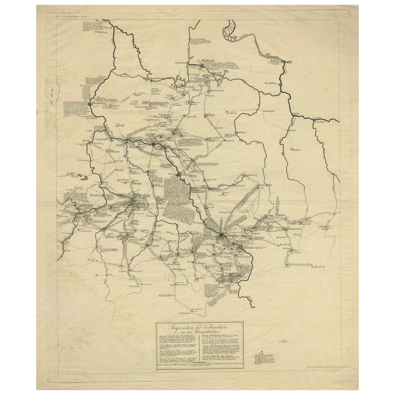

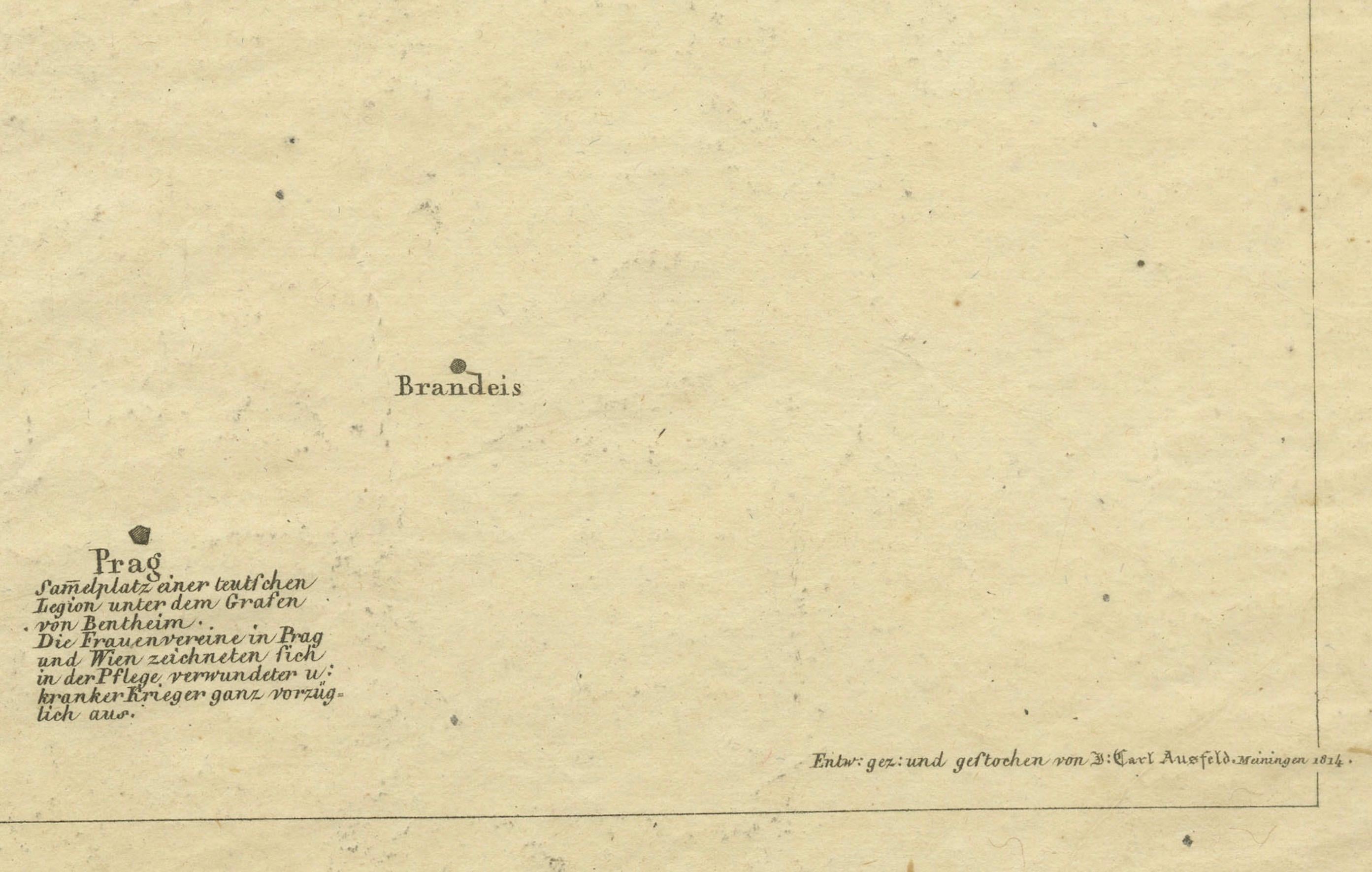
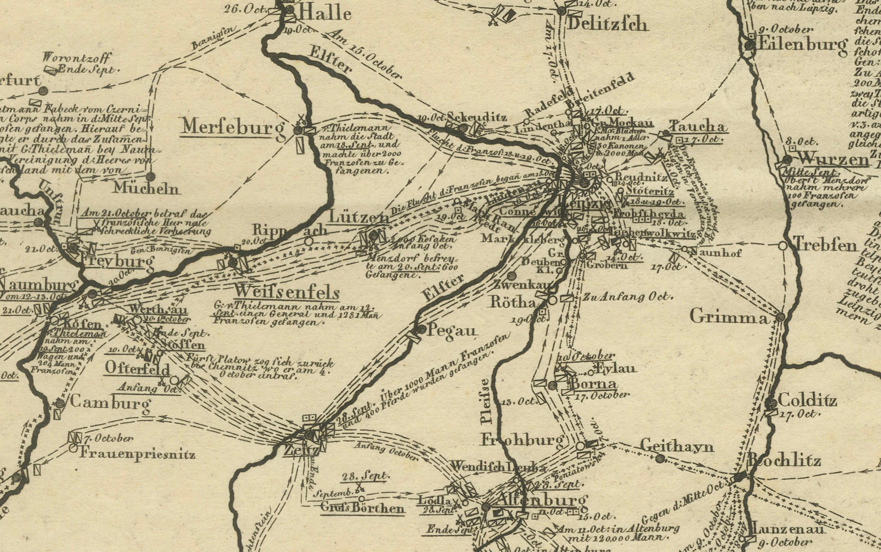
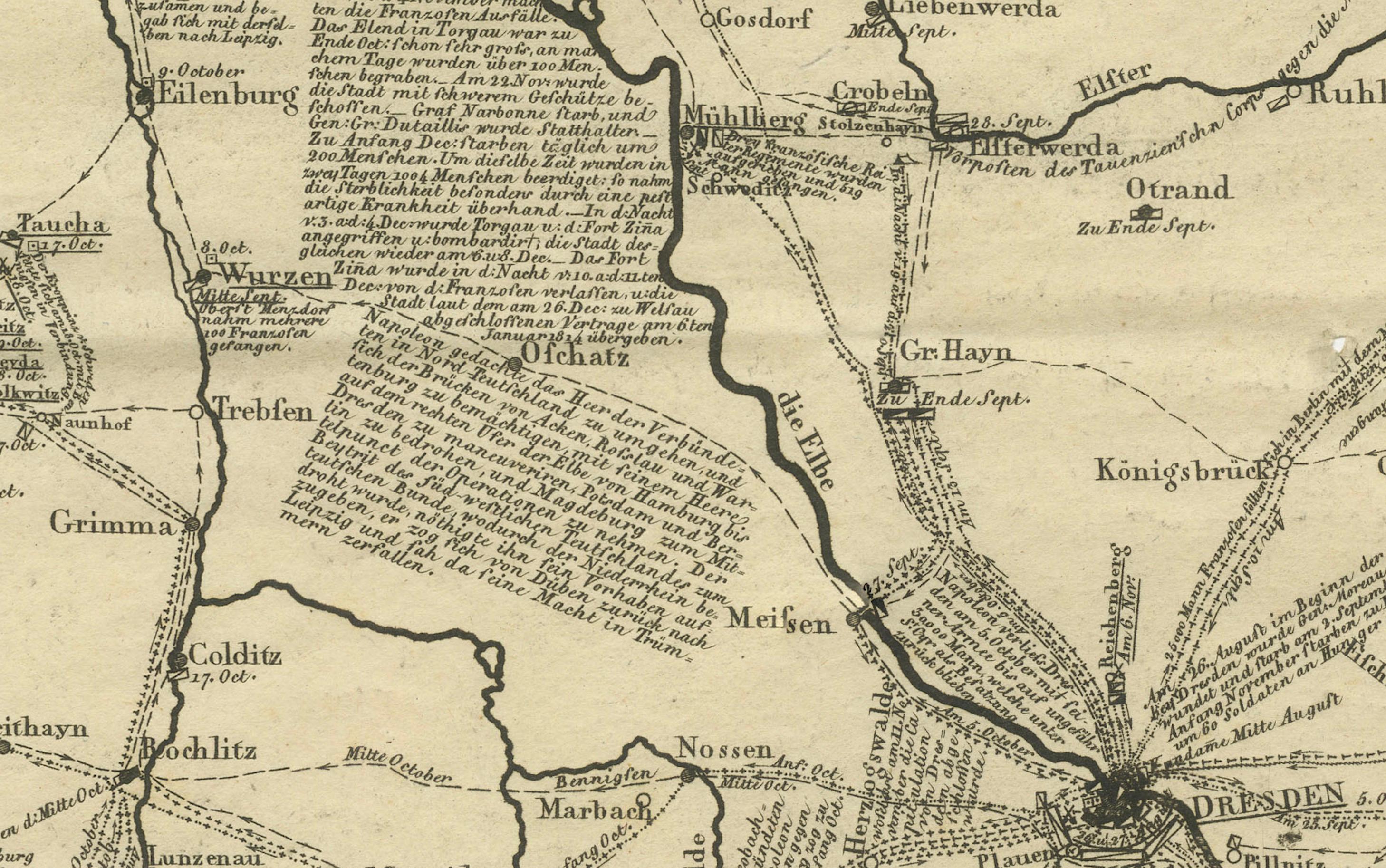
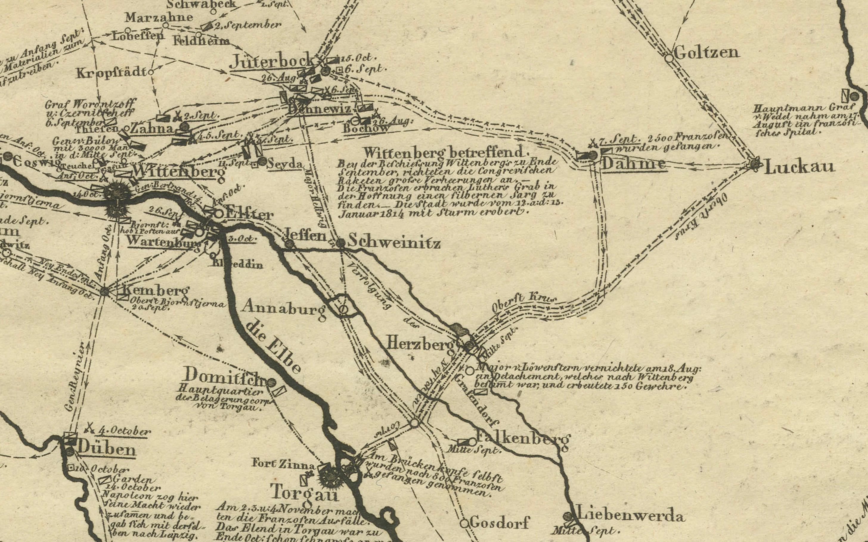
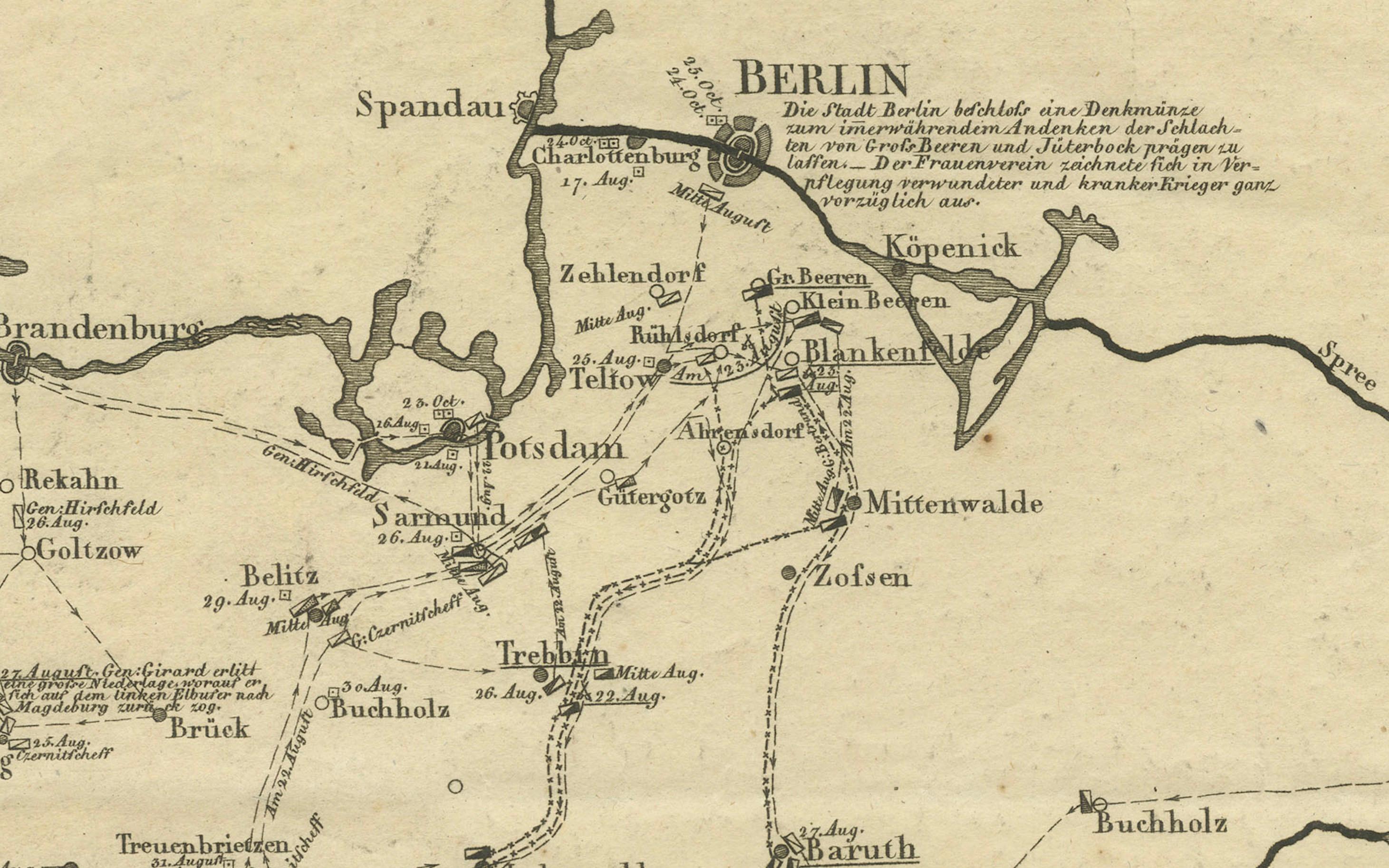
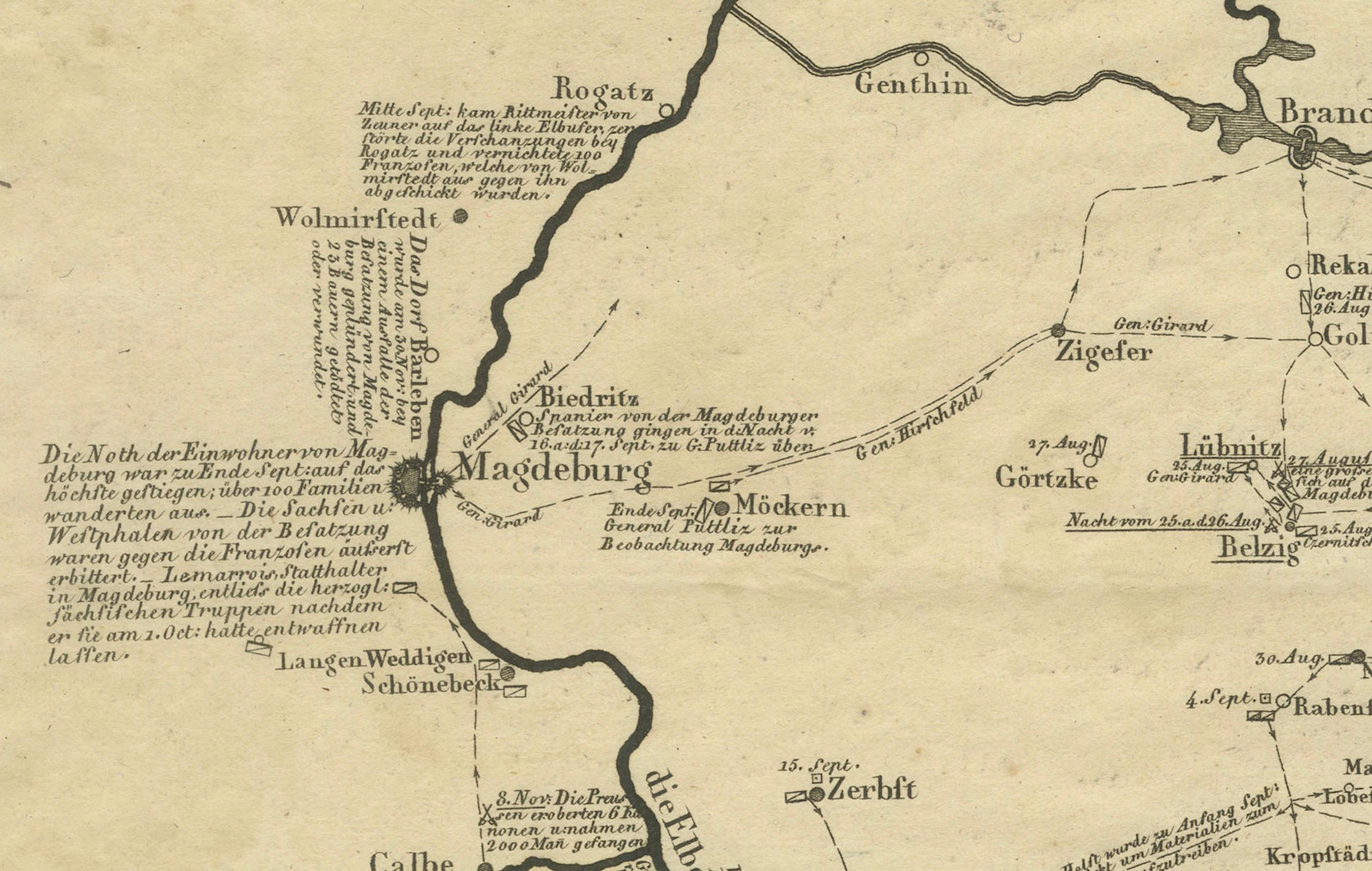
This rare and historically important military map documents the Allied campaigns in central Germany during the final phase of the Napoleonic Wars. Titled “Siegeszeichen der Verbündeten aus den Hauptschlachten”, the map was designed, drawn, and engraved by Carl Ausfeld in Meiningen in 1814, immediately following the collapse of Napoleonic control in German territories. As a contemporary production rather than a later retrospective, it offers a direct visual record of coalition warfare at the decisive moment of European history.
The map focuses on large parts of Prussia, Saxony, Brandenburg, and neighboring regions, clearly identifying key cities such as Berlin, Magdeburg, Leipzig, Dresden, and Frankfurt an der Oder. Rivers, regional boundaries, and an extensive network of roads are carefully engraved, while dense annotations describe troop movements, lines of advance, and strategic concentrations of Allied forces. Radiating routes converge on major battle zones, visually emphasizing the coordinated effort of the coalition armies during the campaigns of 1813–1814.
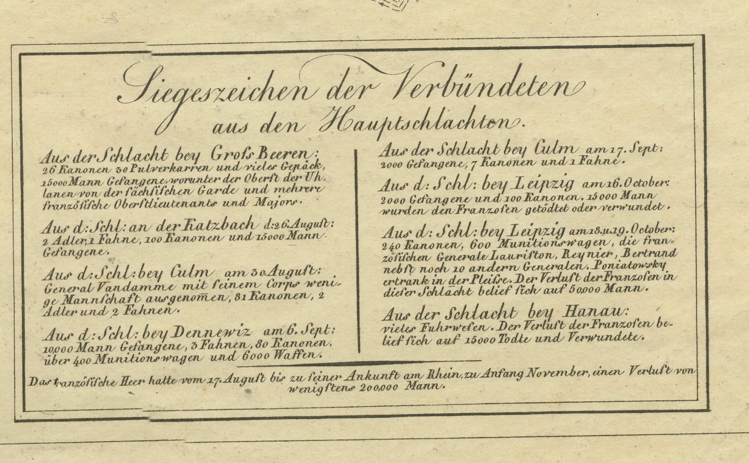
At the lower center of the sheet is an engraved explanatory text panel outlining the significance of the Allied victories and the cooperation between the participating powers. This element gives the map a commemorative and patriotic character, typical of German military publications issued in the immediate aftermath of Napoleon’s defeat. The overall engraving style is precise and functional, prioritizing clarity and informational depth over ornament, in keeping with early 19th-century German military cartography.
With a large sheet size of approximately 50 x 64 cm, this map has strong visual impact and rewards close study. Such separately issued campaign maps were often folded, consulted, and discarded, making well-preserved examples increasingly scarce today. The combination of a clear Napoleonic date, a fully identified engraver, and a subject tied to major European events makes this an appealing piece for collectors of Napoleonic history, German cartography, and early military mapping, as well as for interior display in a library or study.
Condition report:
Good antique condition. Printed on laid paper. Minor surface dirt and scattered light spotting, mainly in the margins. Margins intact with small edge wear and softening. No major tears or losses. The engraved image and inscriptions remain clear and well-defined. A partially visible cursive name watermark, likely reading “F. Ruhll”, is present and consistent with early 19th-century German papermaker practice. No visible plate mark, consistent with the production method.
Framing tips:
This map frames very well in a classic or scholarly interior. A dark walnut or ebonized wooden frame with a wide off-white or light cream mat complements the warm paper tone and enhances legibility. For a more modern presentation, a thin black frame with museum glass allows the dense cartographic detail to stand out while offering optimal protection.
Technique: Engraving
Maker: B. Carl Ausfeld, Meiningen, 1814