About this sheet
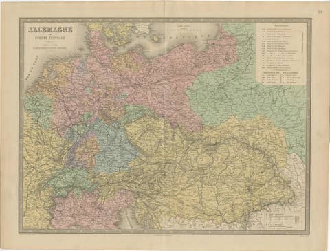
French Map of Asia by Cortambert – Russia, China & India 1861
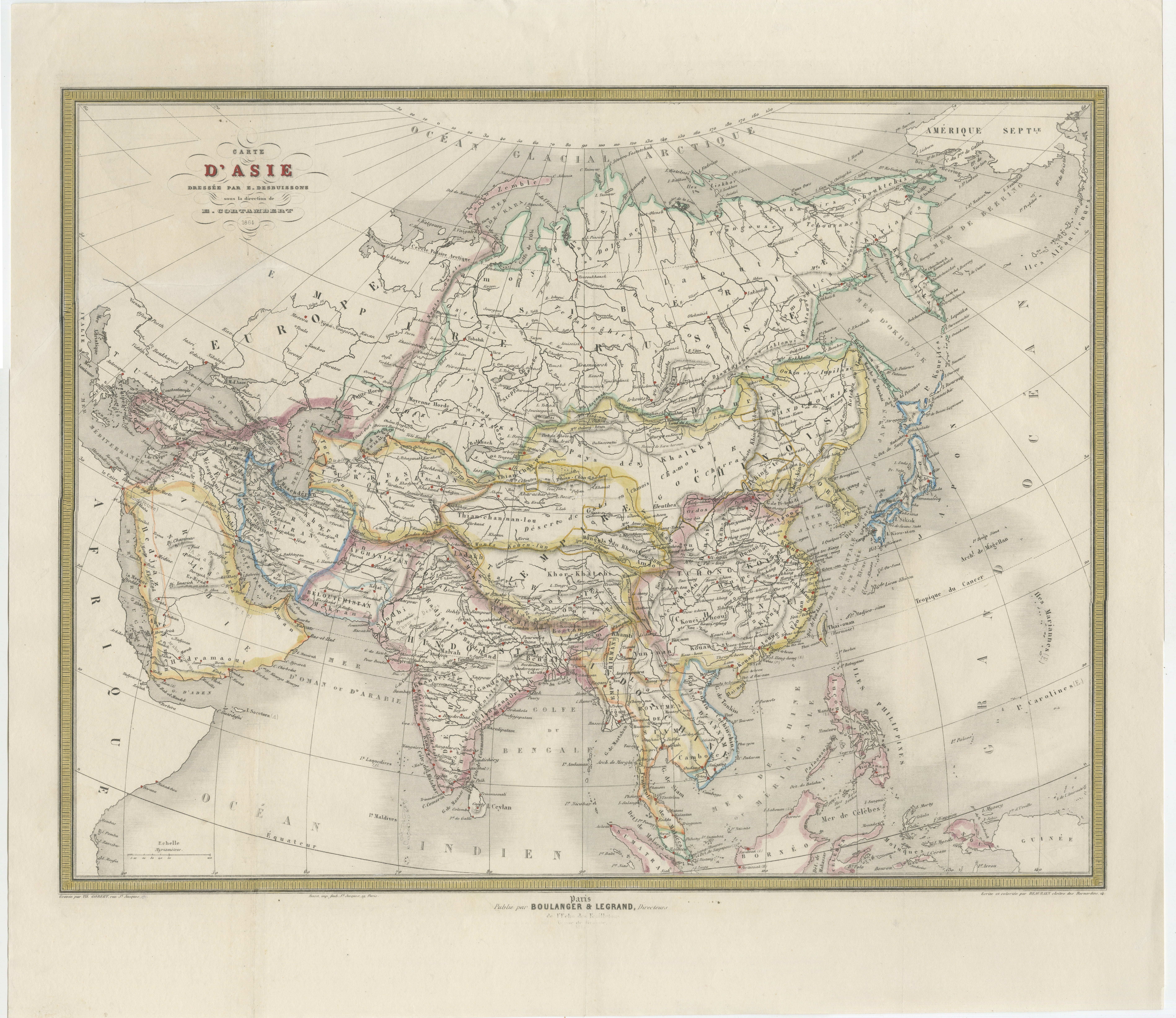
A finely detailed and visually elegant antique map of Asia, published in Paris in 1861 under the direction of the French geographer Eugène Cortambert. This large-format map presents the vast Asian continent stretching from the Ottoman domains and Arabia to China, Japan, and the islands of Southeast Asia, with Siberia and the Russian Empire prominently dominating the northern regions.
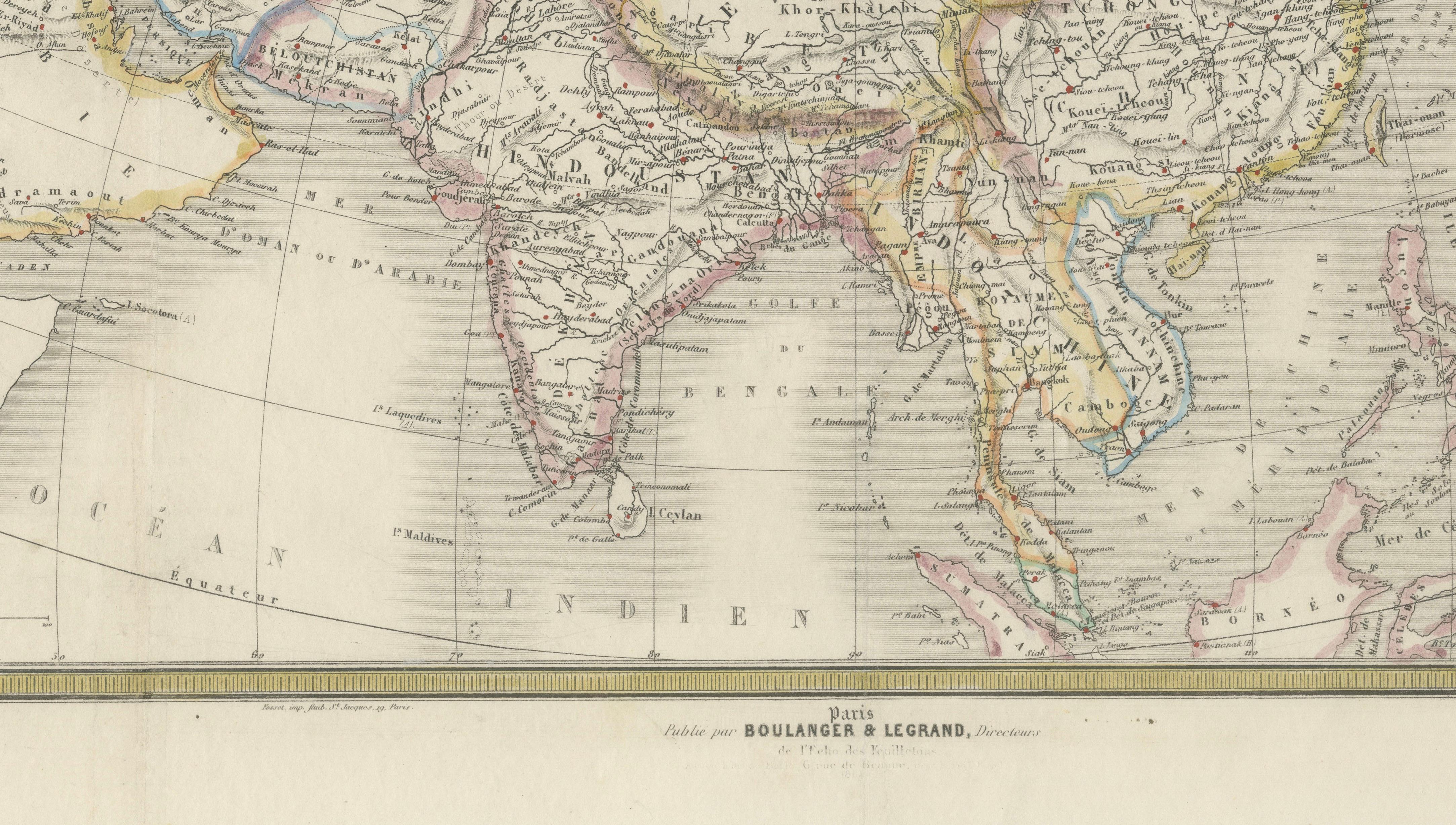
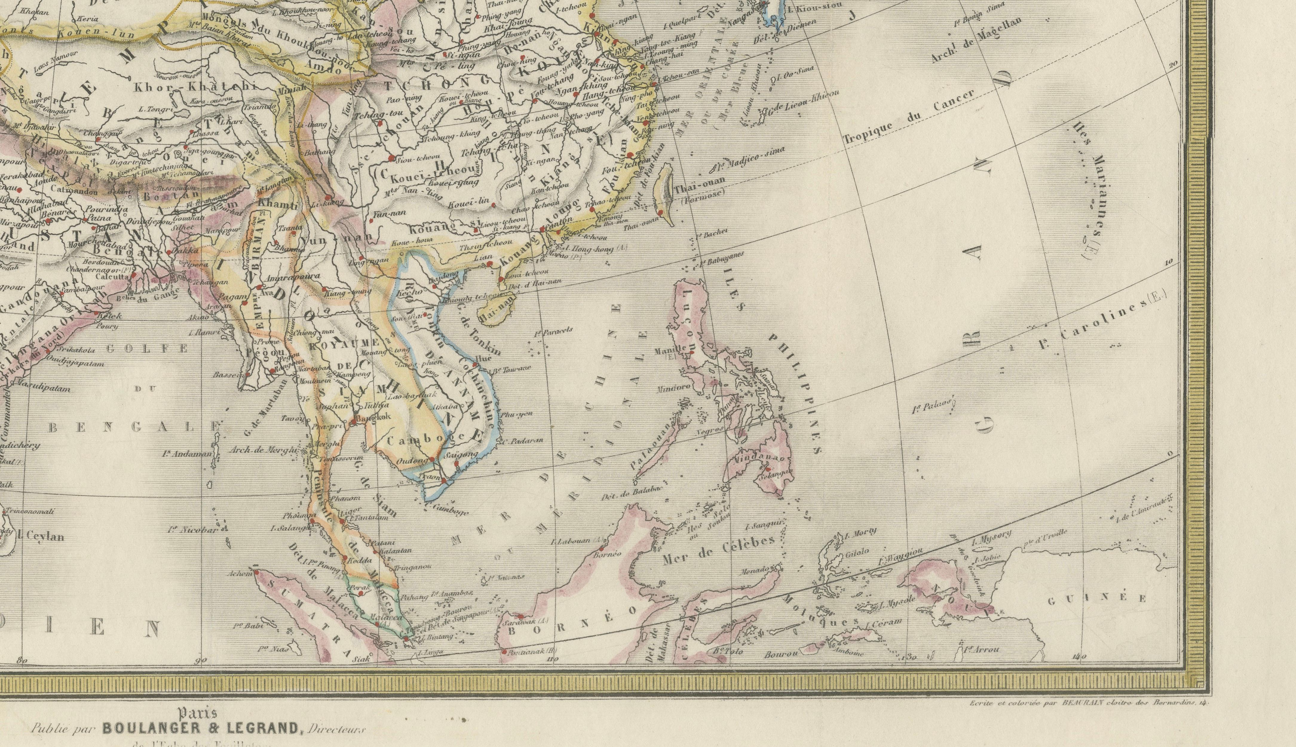
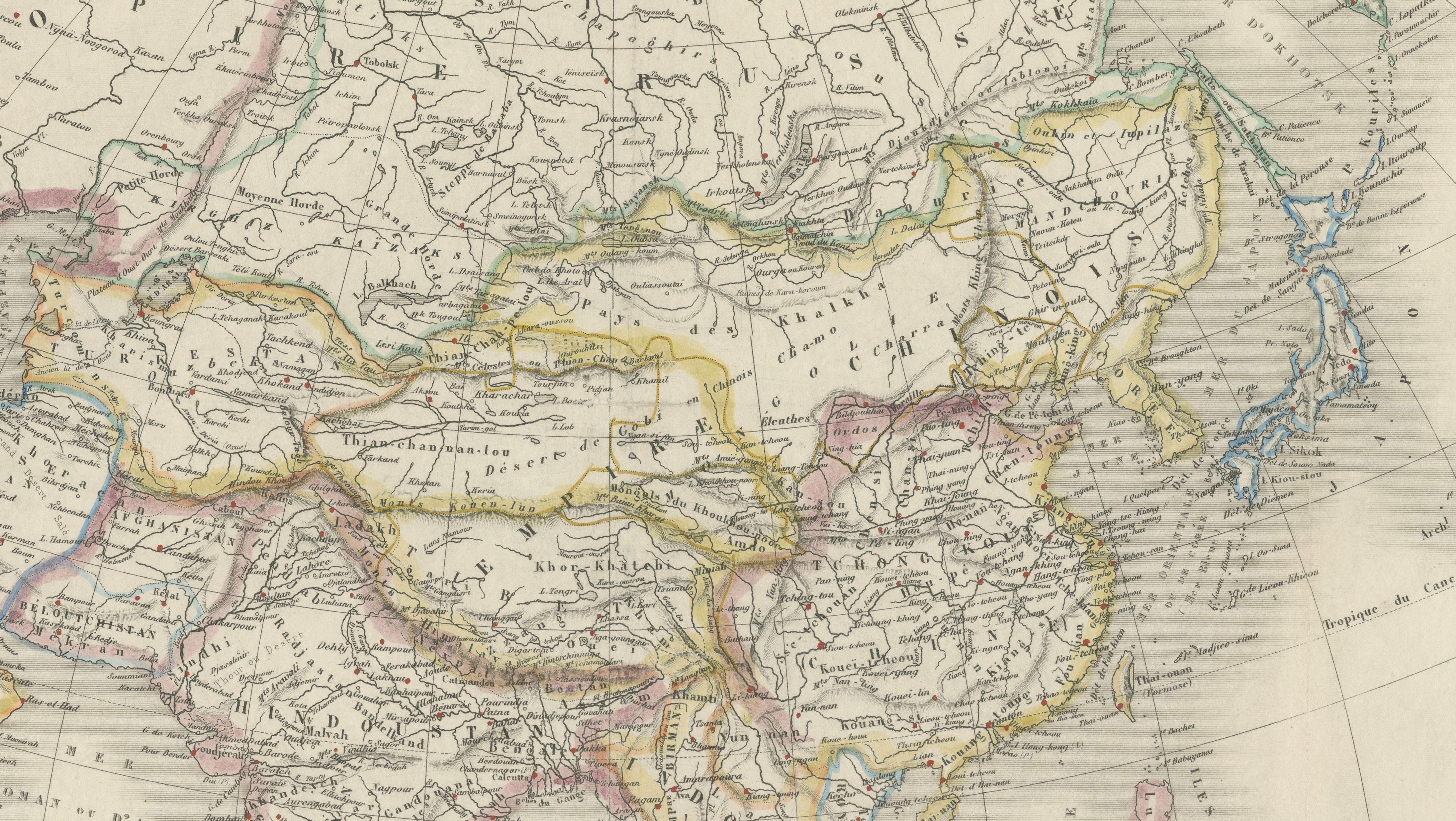
The map reflects the geopolitical understanding of Asia during the mid-19th century, a period marked by imperial expansion, colonial trade routes, and growing European interest in the East. Political boundaries are delicately highlighted in original outline hand color, distinguishing the major empires, kingdoms, and colonial territories of the era. British India, Persia, the Chinese Empire, Siam, and the fragmented territories of Central Asia are all rendered in careful engraved detail.
Japan is depicted shortly before the Meiji Restoration, while Southeast Asia still shows numerous historical territorial divisions under Dutch, British, French, and local influence. The map also captures the immense and sparsely populated Siberian territories with extensive river systems and exploratory geographic information characteristic of French cartography of the Second Empire period.
The engraving style is refined and precise, with elegant typography and a decorative title cartouche typical of educational and decorative Parisian atlas production of the 1860s. Its balanced composition and restrained pastel coloring make it particularly attractive for framing and display in a study, library, or travel-inspired interior.
Condition: Fair to Good condition overall with minor wear consistent with use. The map has been professionally backed with a new support backing for stabilization and display purposes. One tear professionally restored.
Note: This map is an original antique engraving, not a reproduction. All items we offer are authentic period works of art over 100 years old. The piece is sold unframed; any framed images are shown for presentation and interior inspiration only and may not always be to scale.
Technique: Original engraved map with original outline hand color
Maker: Eugène Cortambert, Paris, 1861