About this sheet
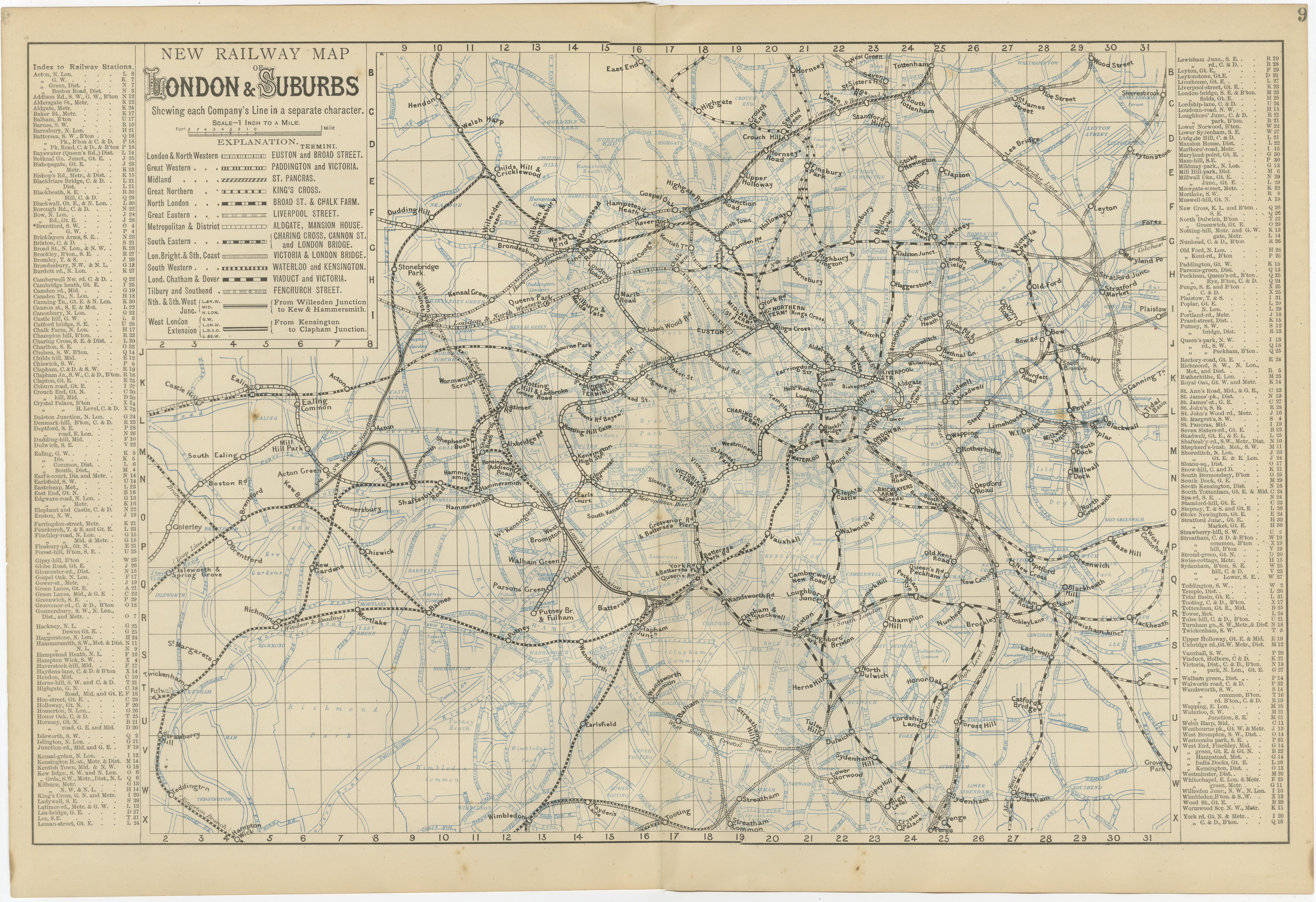
Decorative London Railway Map, Victorian Transport Plan of London & Suburbs, 1885
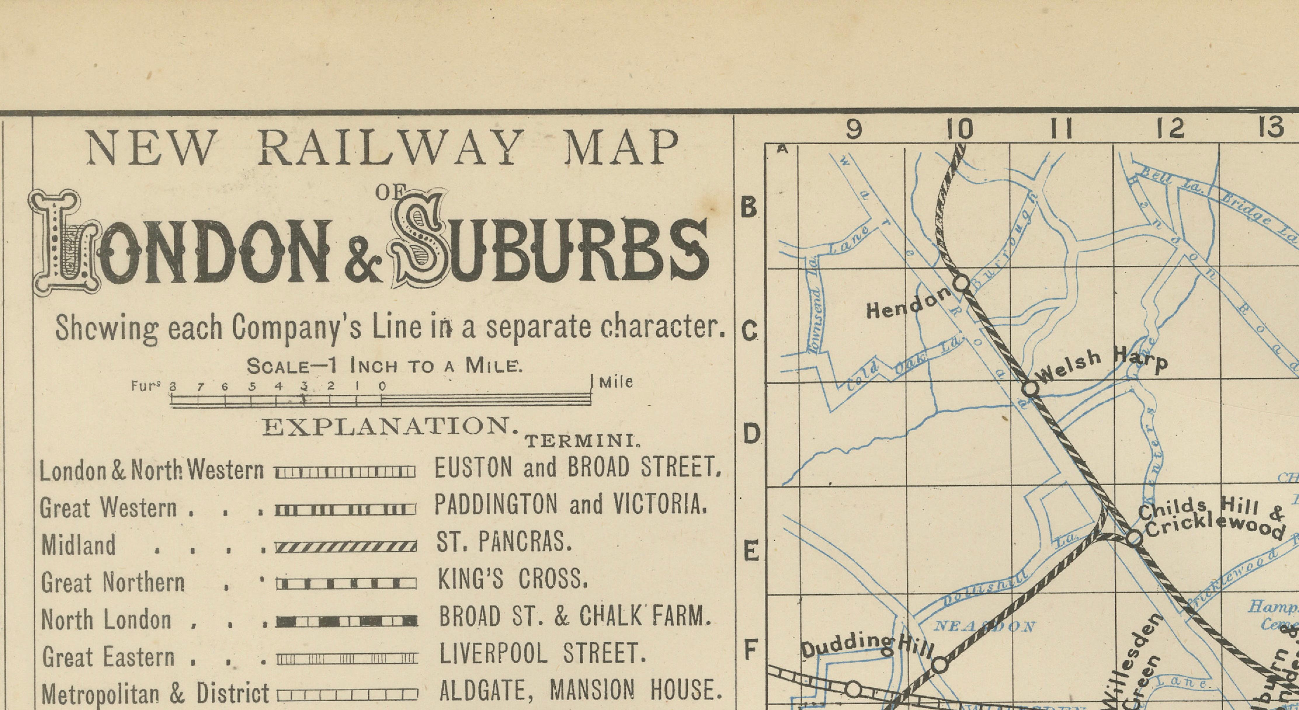
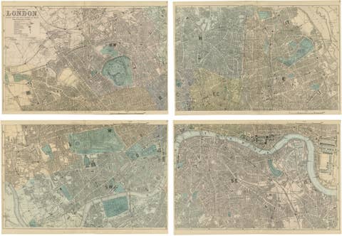
A fascinating and highly decorative Victorian railway map illustrating London and its rapidly expanding suburban rail network during the late nineteenth century. The map, titled “New Railway Map of London & Suburbs,” presents the capital as the center of one of the most complex transportation systems in the world at the height of the industrial age.
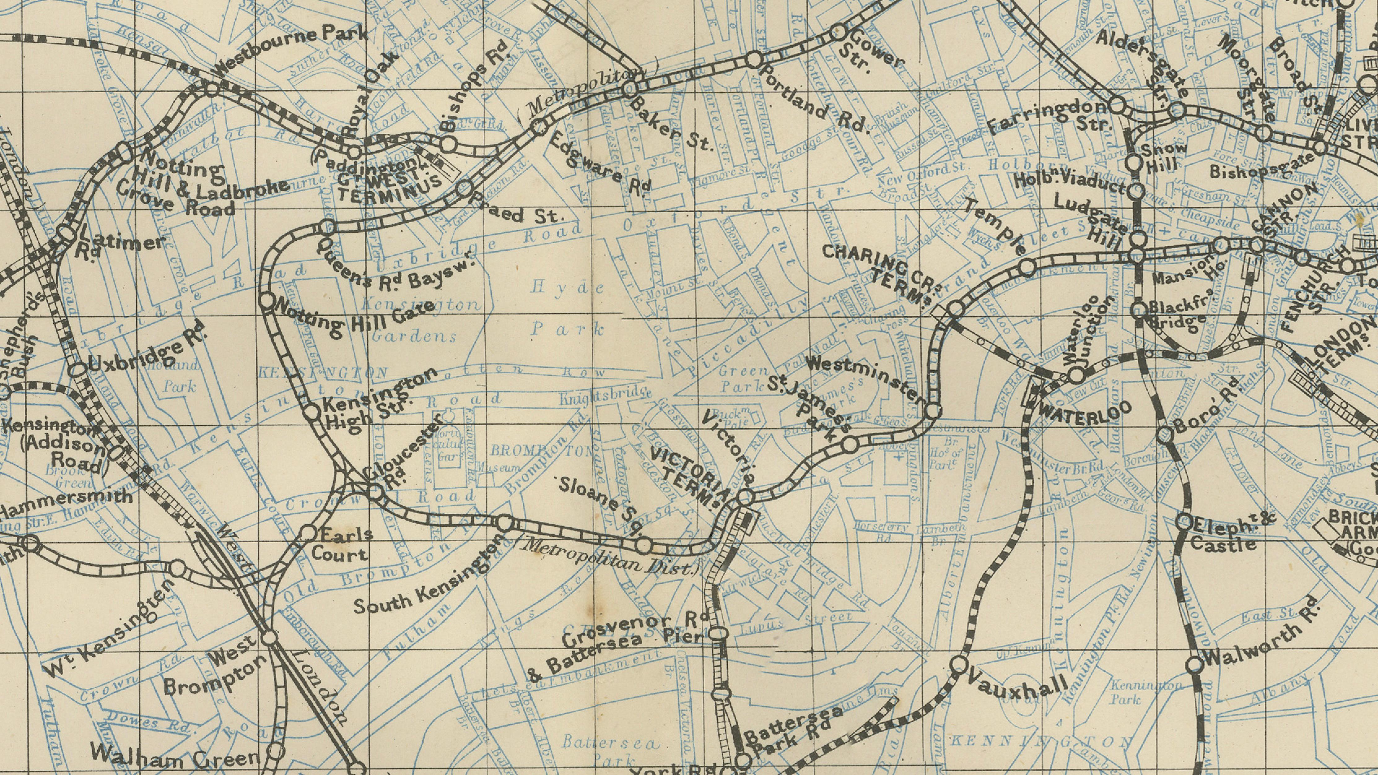
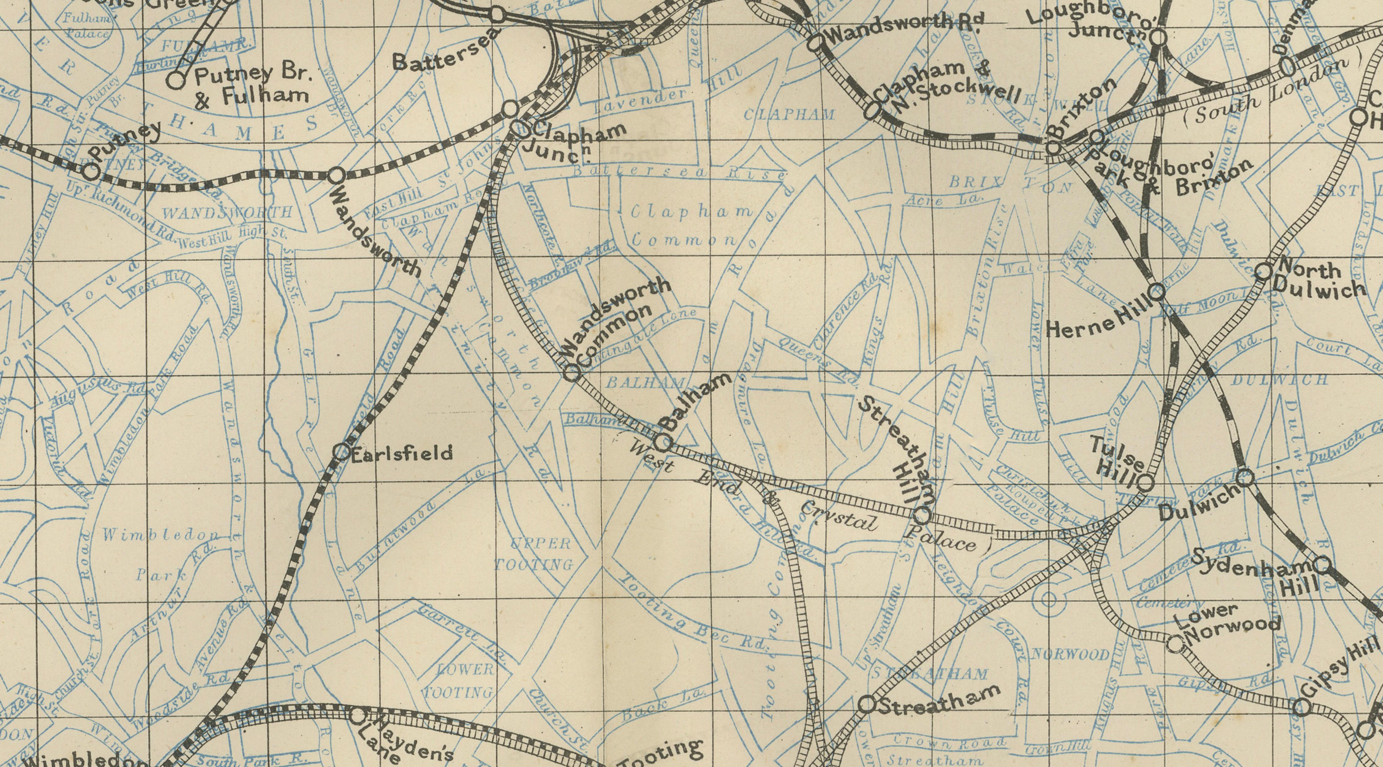
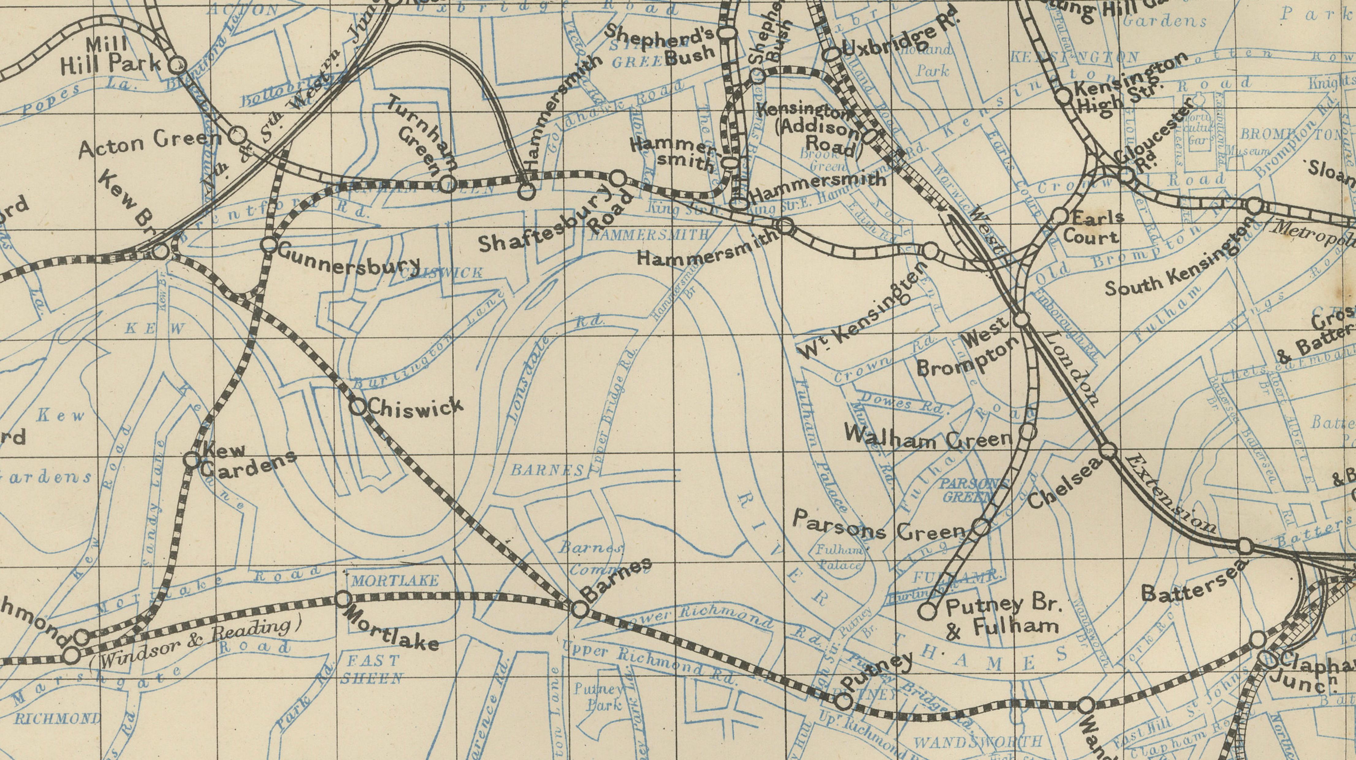
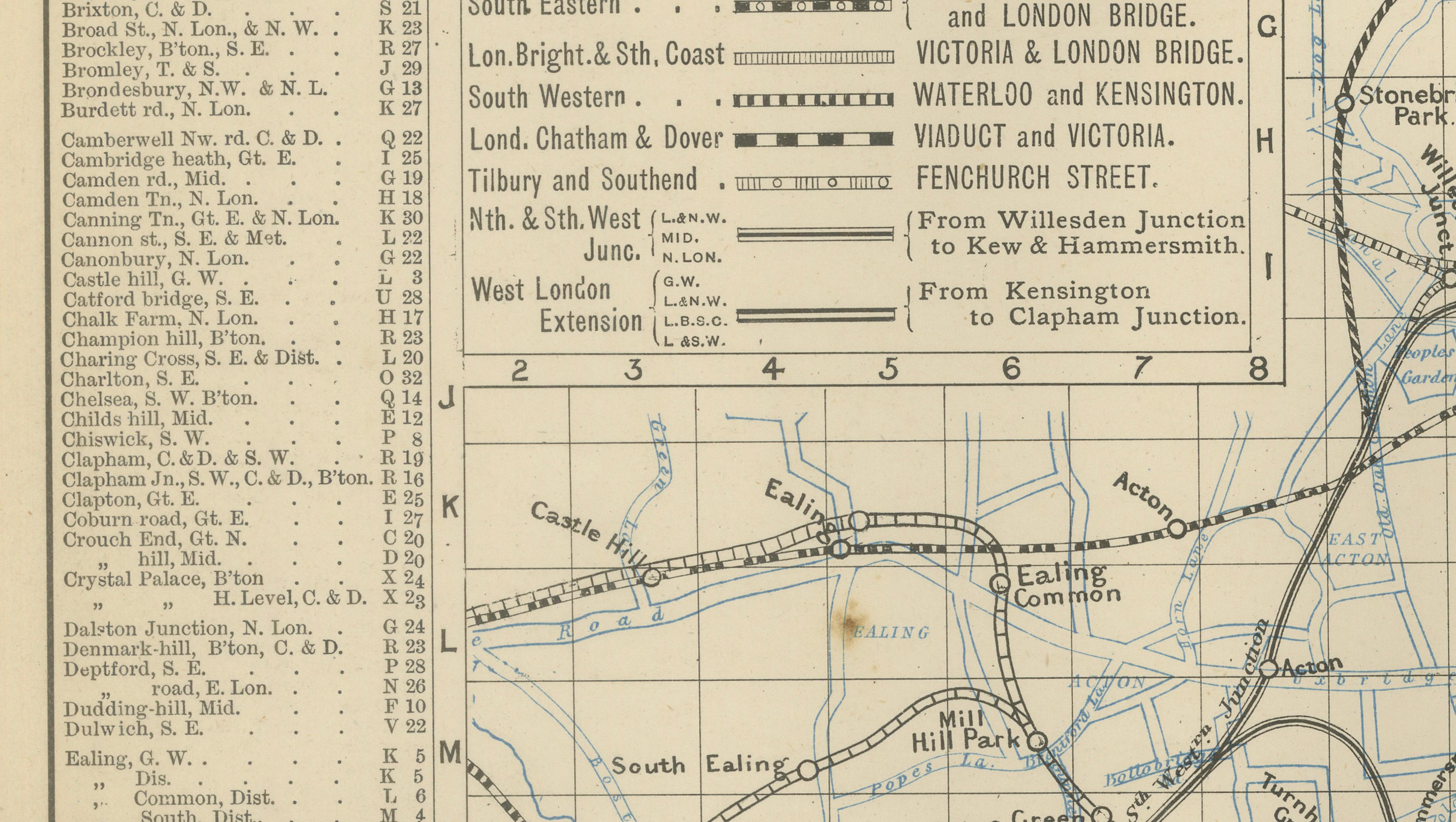
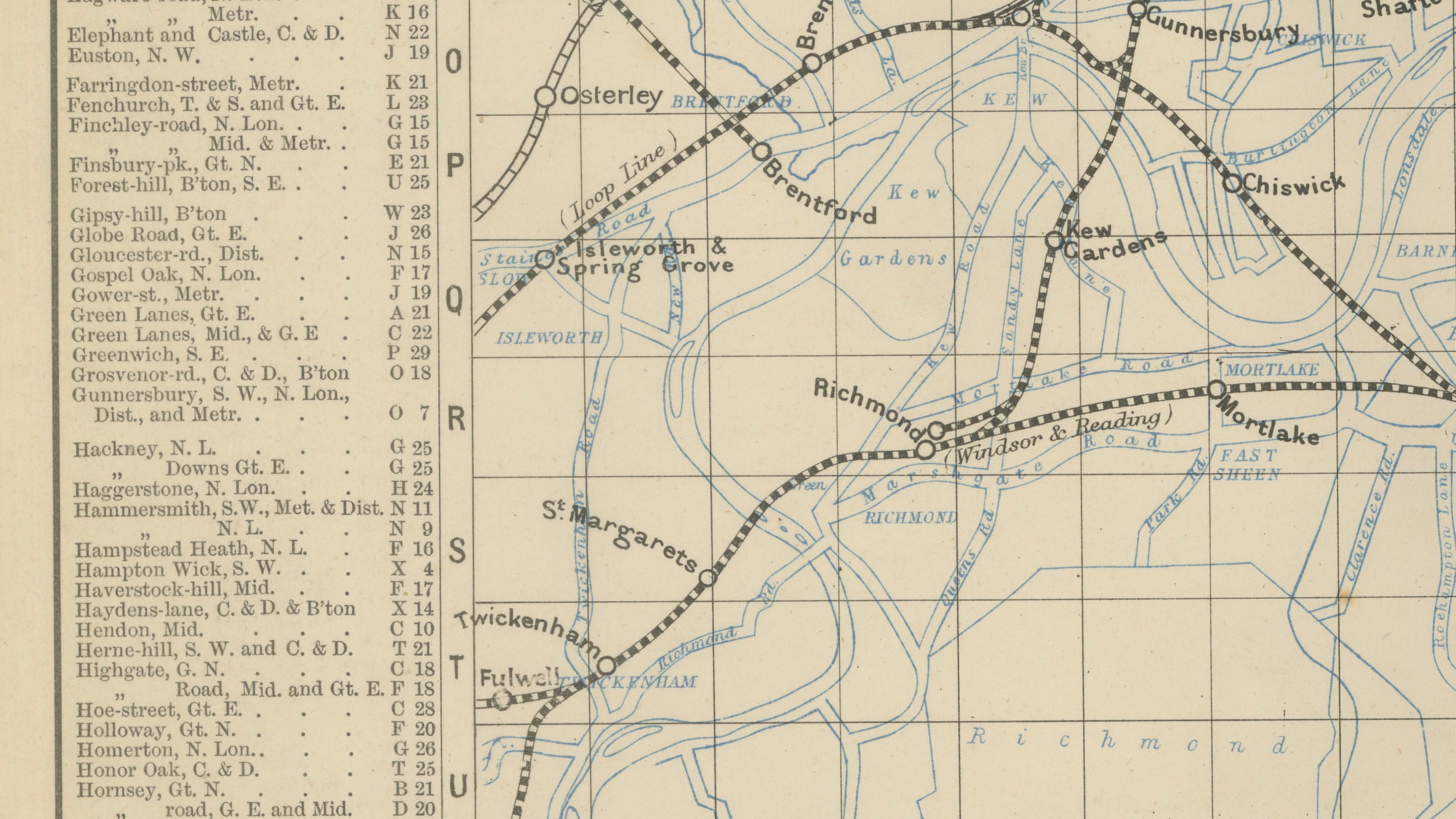
Produced during a period when rail travel was transforming urban life, the map shows how numerous railway companies converged on the city. Individual lines are carefully distinguished, allowing viewers to trace routes connecting the major London termini with surrounding districts and suburban towns. Stations, junctions, and railway corridors spread outward from central London, revealing the intricate web of transport infrastructure that supported the growth of the Victorian metropolis.
The River Thames winds through the composition, while districts such as Kensington, Paddington, Camden, Islington, Shoreditch, Greenwich, Lambeth, Chelsea, and Hammersmith appear amid a dense grid of streets and rail connections. Surrounding suburban areas—including places like Hampstead, Highgate, Tottenham, Croydon, Wimbledon, Richmond, and Ealing—illustrate the rapid outward expansion of London as railway commuting reshaped patterns of residence and work.
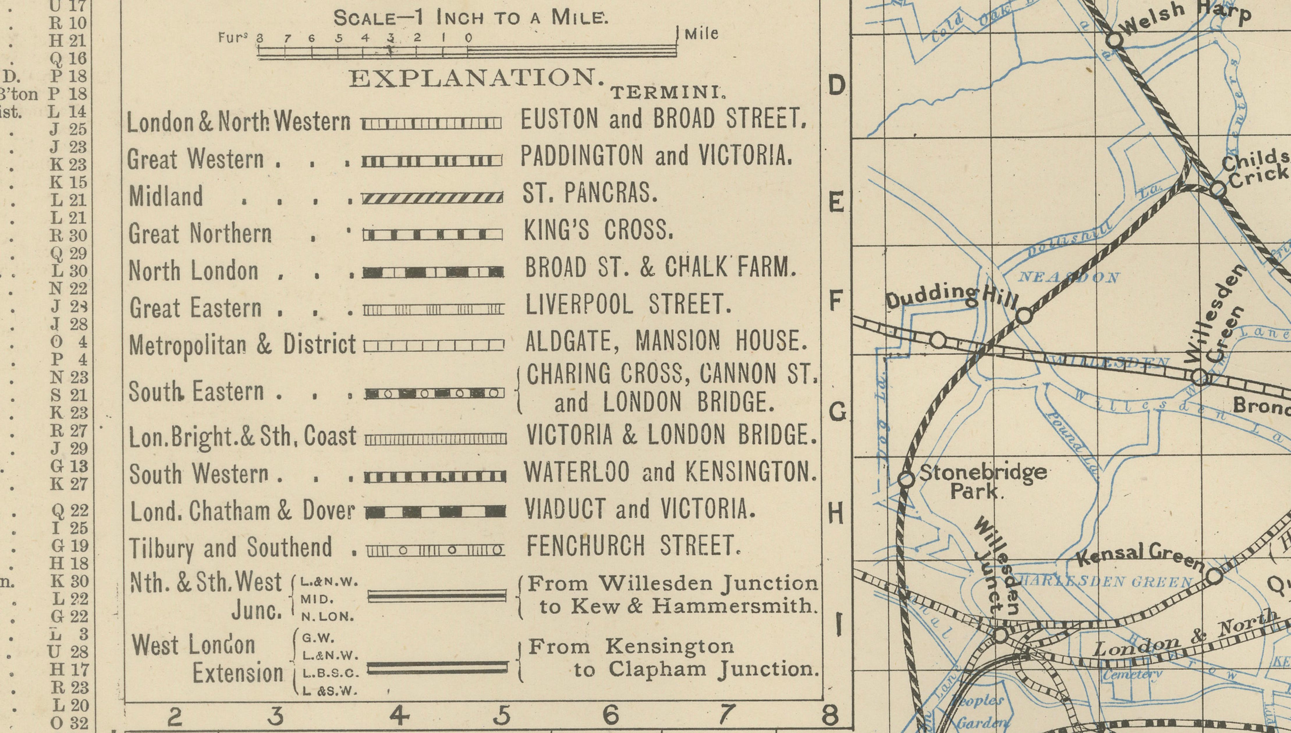
An explanatory key identifies the major railway companies operating in London at the time, including the London & North Western, Great Western, Midland, Great Northern, South Eastern, Metropolitan, and District railways. This feature provides valuable historical insight into the development of London’s rail transport before the consolidation and modernization of the twentieth century.
Cartographically, the map combines clarity and elegance. Fine lithographic linework renders the railway routes and street network with precision, while the pale background and delicate color accents provide a calm visual balance. The result is both a historical document and a striking decorative piece, particularly appealing for display in studies, libraries, offices, or interiors celebrating urban history and transportation design.
Condition: Good antique condition overall. Light age-related toning with scattered spotting consistent with nineteenth-century paper. Original center fold visible as issued. Minor margin wear typical of atlas plates. Overall strong visual presentation.
Framing tips: Particularly effective in a dark walnut or black frame with an ivory mat, which emphasizes the intricate railway lines and vintage typography. The map’s horizontal format also works beautifully as a statement piece above a desk, console, or in a study.
Technique: Lithograph
Maker: Published in London, United Kingdom, 1885
Keyword Block
antique map, London railway map, Victorian railway map, London transport map, 1885 map, London suburbs map, antique city map, railway history map, British cartography, Victorian London map, antique lithograph map, 19th century railway map, London transport history, decorative antique map, antique wall map, study wall art, library decor map, British Isles map, historical geography print, antique atlas plate, railway network map, urban transport map, collectible British map, museum style map, interior designer wall art, antique London print, Bartele Gallery maps.
Acton, Aldgate, Battersea, Bayswater, Bermondsey, Bethnal Green, Blackheath, Blackwall, Bow, Brentford, Brixton, Bromley, Camden Town, Camberwell, Chelsea, Charing Cross, Chiswick, Clapham, Clerkenwell, Deptford, Dulwich, Ealing, Edmonton, Elephant and Castle, Finsbury, Fulham, Greenwich, Hackney, Hammersmith, Hampstead, Highbury, Highgate, Holborn, Holloway, Hoxton, Islington, Kensington, Kilburn, Kew, Lambeth, Lewisham, Leyton, Limehouse, Marylebone, Mile End, Mitcham, Notting Hill, Paddington, Peckham, Pimlico, Poplar, Putney, Richmond, Rotherhithe, Shepherd’s Bush, Shoreditch, Southwark, Stepney, Stockwell, Stoke Newington, Stratford, Sydenham, Tooting, Tottenham, Twickenham, Vauxhall, Wandsworth, Waterloo, Wapping, West Brompton, Westminster, Whitechapel, Wimbledon, Woolwich, Battersea Park, Regent’s Park, Hyde Park, Victoria, Euston, St Pancras, King’s Cross, London Bridge, Paddington Station, Victoria Station, Waterloo Station, Cannon Street, Fenchurch Street, Liverpool Street, Kensington Olympia, Shepherd’s Bush Green, Stamford Hill, Tottenham Hale, Seven Sisters, Leytonstone, Forest Gate, Plaistow, Canning Town.