About this sheet

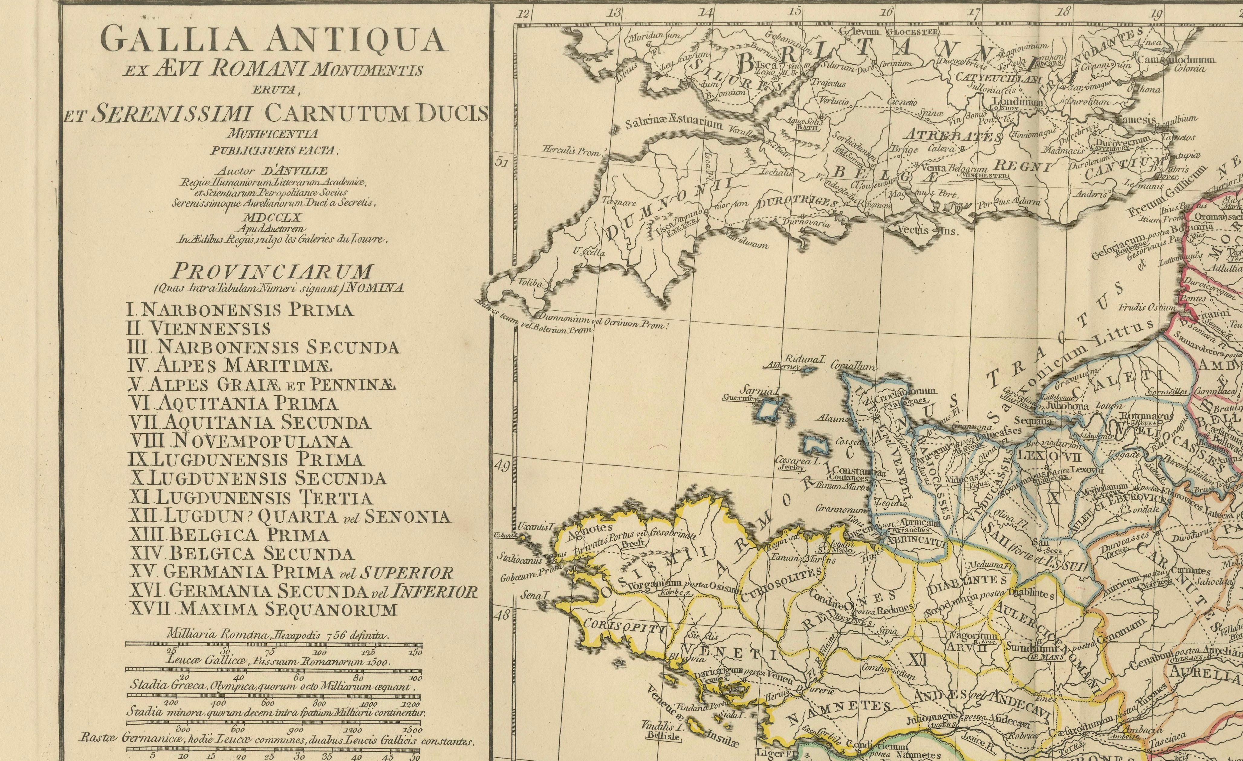
Antique Map of Ancient Gaul – Roman France & Low Countries, Engraving c.1818
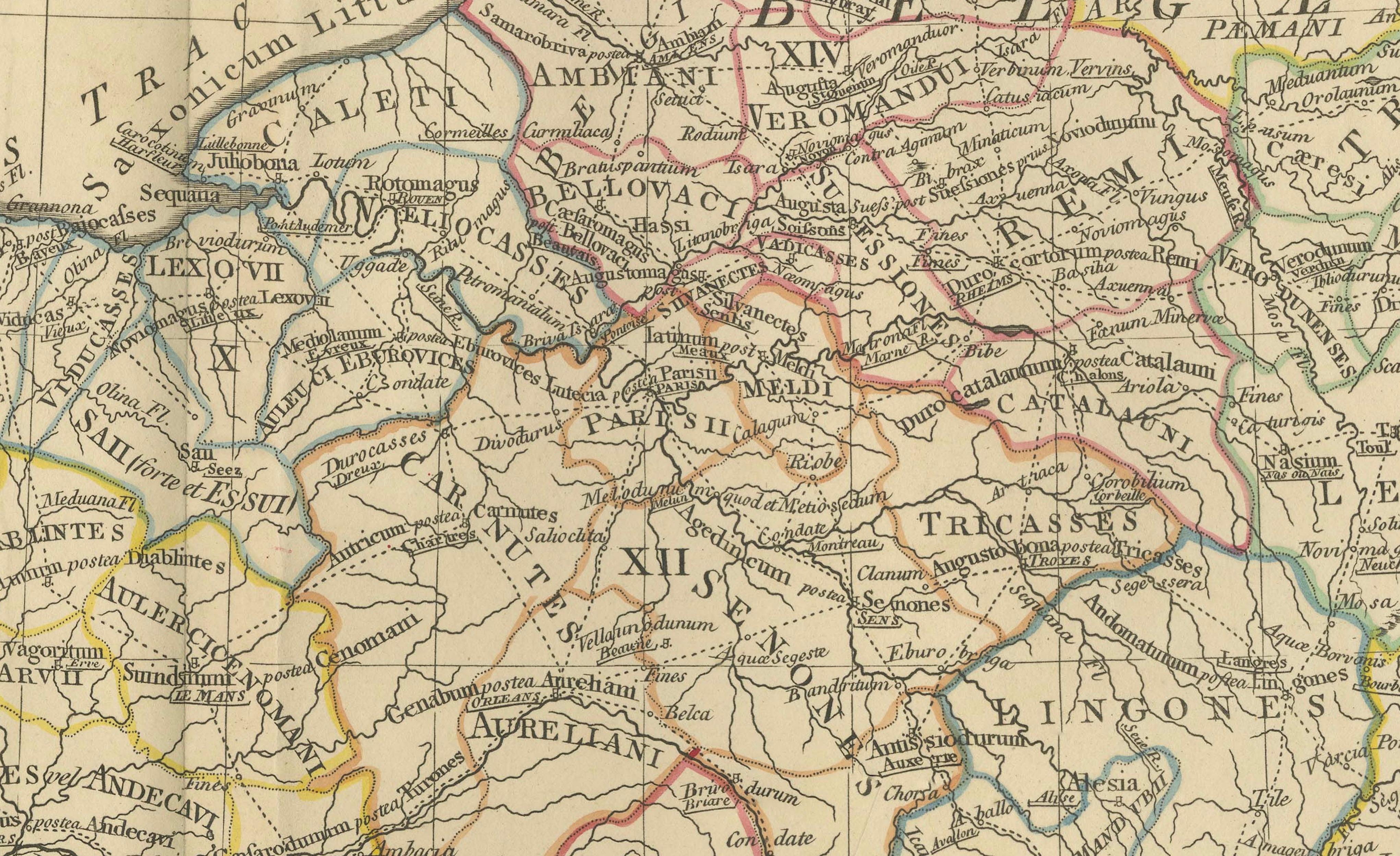
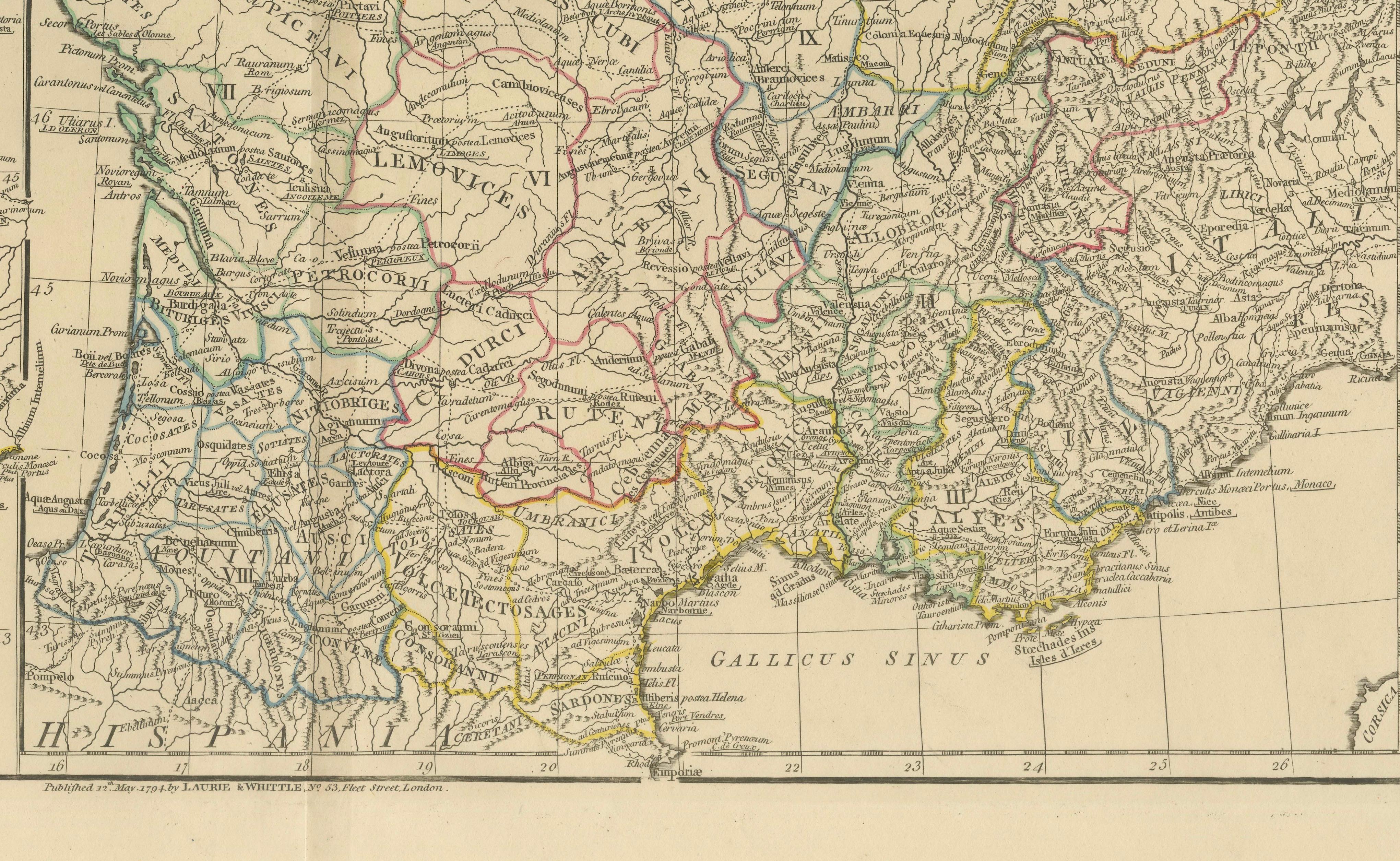
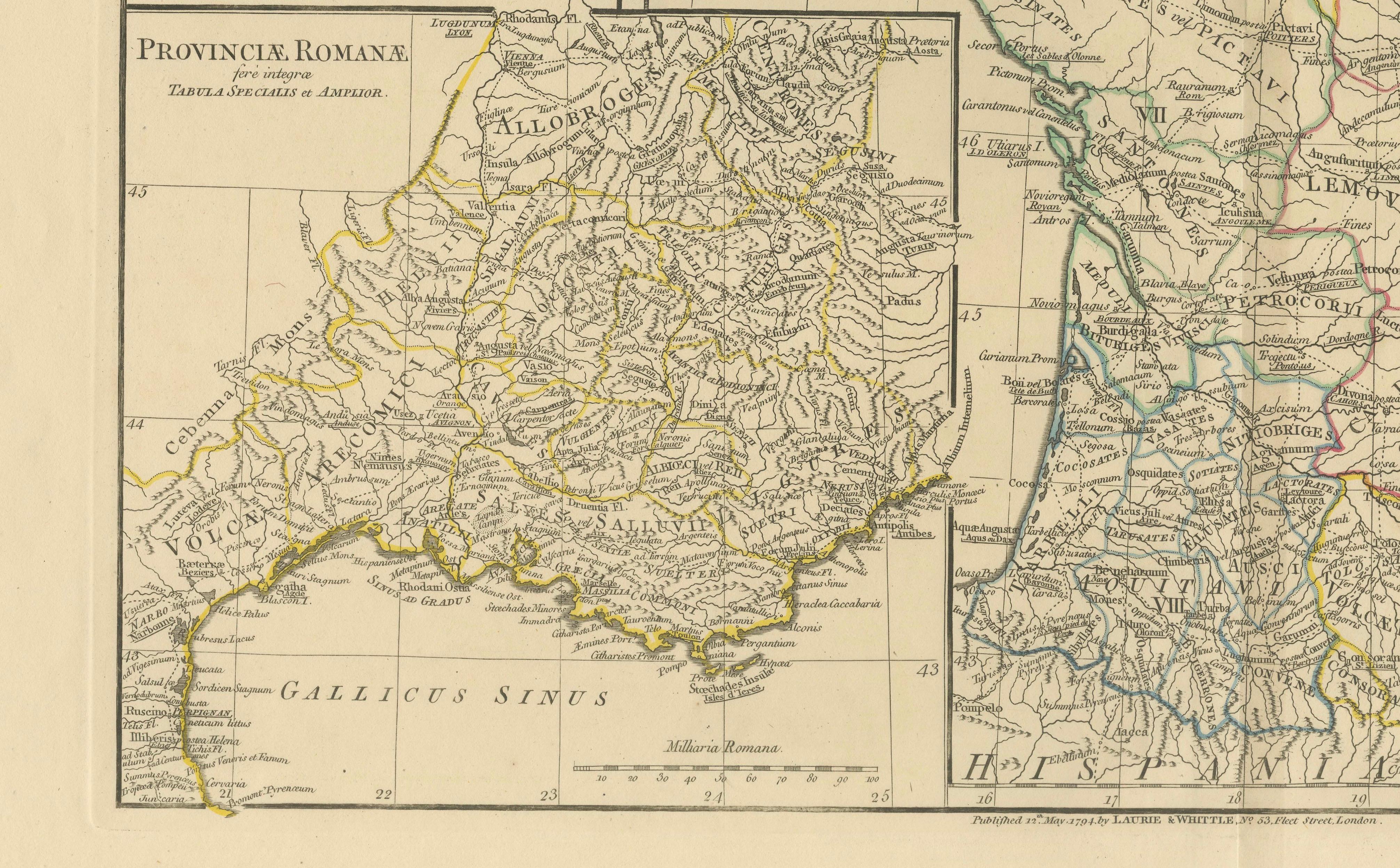
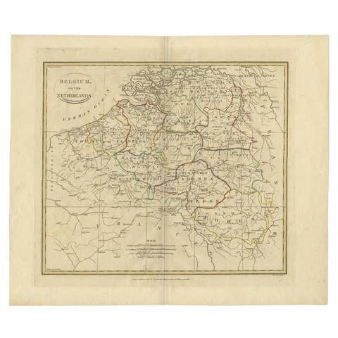
Elegant antique map depicting ancient Gaul under Roman rule, covering present-day France, Belgium, Luxembourg, parts of the Netherlands, western Germany, and Switzerland. The map presents Roman provinces, cities, rivers, and road networks with remarkable density, rendered in fine engraved line and enhanced with subtle original outline color.
The map is offered unframed, enabling custom framing to personal or interior preferences.
The composition is visually rich yet balanced, with the broad landmass of Gaul structured by Roman provincial divisions and natural geography. Latin place names, tribal regions, and administrative boundaries give the sheet strong historical depth, while the restrained engraving and calm parchment tone lend it a refined, architectural presence ideal for contemporary interiors.
The map is based on the work of Jean-Baptiste Bourguignon d’Anville, whose reconstructions of the ancient world reshaped Enlightenment cartography. D’Anville rejected decorative speculation and instead relied on Roman itineraries, inscriptions, and classical texts, producing maps valued for clarity, proportion, and scholarly authority.
This example is the English edition published in London by Laurie & Whittle, issued circa 1818 and bound in the atlas A Complete Body of Ancient Geography. Produced during the neoclassical period, the map reflects early nineteenth-century taste for order, structure, and historical accuracy.
The neutral palette, fine detail, and generous margins make this sheet particularly effective as wall art in libraries, studies, boardrooms, and hospitality interiors. It pairs exceptionally well with companion maps of Ancient Britain, Italy, Greece, and the Roman Empire from the same series.
A timeless and highly decorative representation of Roman Gaul, combining intellectual depth with strong interior presence.
Condition report:
Good antique condition with light, even toning and gentle age-related wear. Original outline color remains clear and balanced. Central fold as issued. No major tears, losses, or repairs observed.
Framing tips:
Best presented in a dark walnut, blackened oak, or ebonized frame with a wide ivory or soft parchment mat. Museum or UV glass recommended. Works beautifully as part of a multi-sheet classical wall arrangement.
Technique: Engraving with original outline color
Maker: Jean-Baptiste Bourguignon d’Anville (after), published by Laurie & Whittle, London, circa 1818
Keywords:
antique gaul map, ancient gaul map, roman gaul map, gallia antiqua, roman france map, classical france map, antique engraved map, d’anville map, laurie and whittle, 19th century map, roman provinces map, belgium roman map, netherlands roman map, switzerland roman map, germany roman map, classical antiquity map, roman history decor, neoclassical wall art, antique map wall decor, interior designer wall art, library wall decor, study wall art, museum style decor, parchment toned art, neutral wall art, scholarly antique map, collectible antique map, framed antique map, enlightenment cartography, british atlas map, elegant antique print, statement wall art