About this sheet
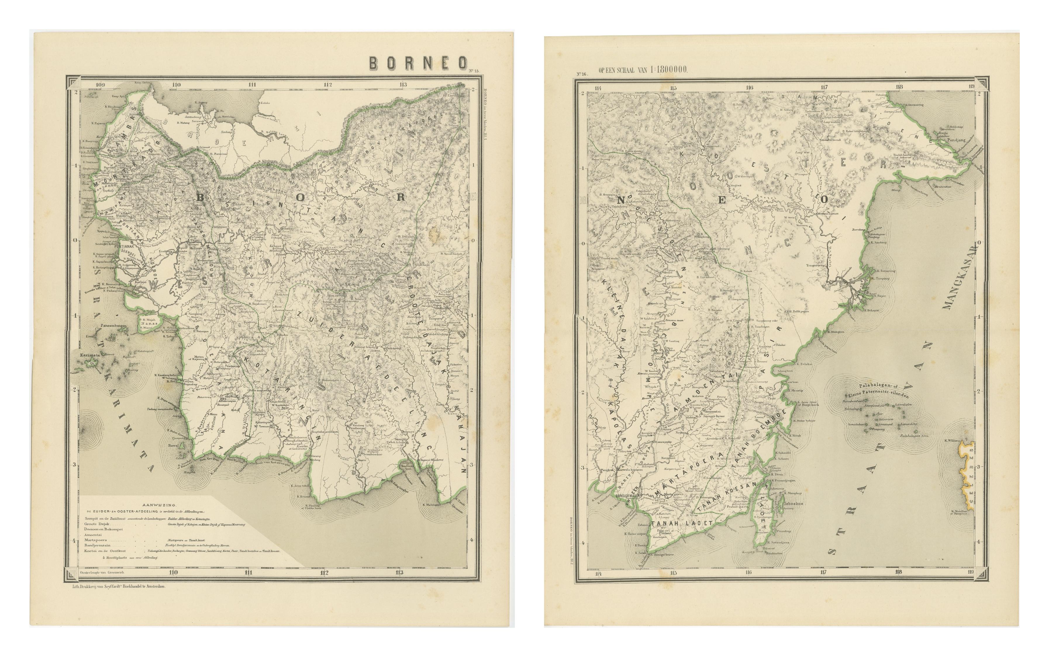
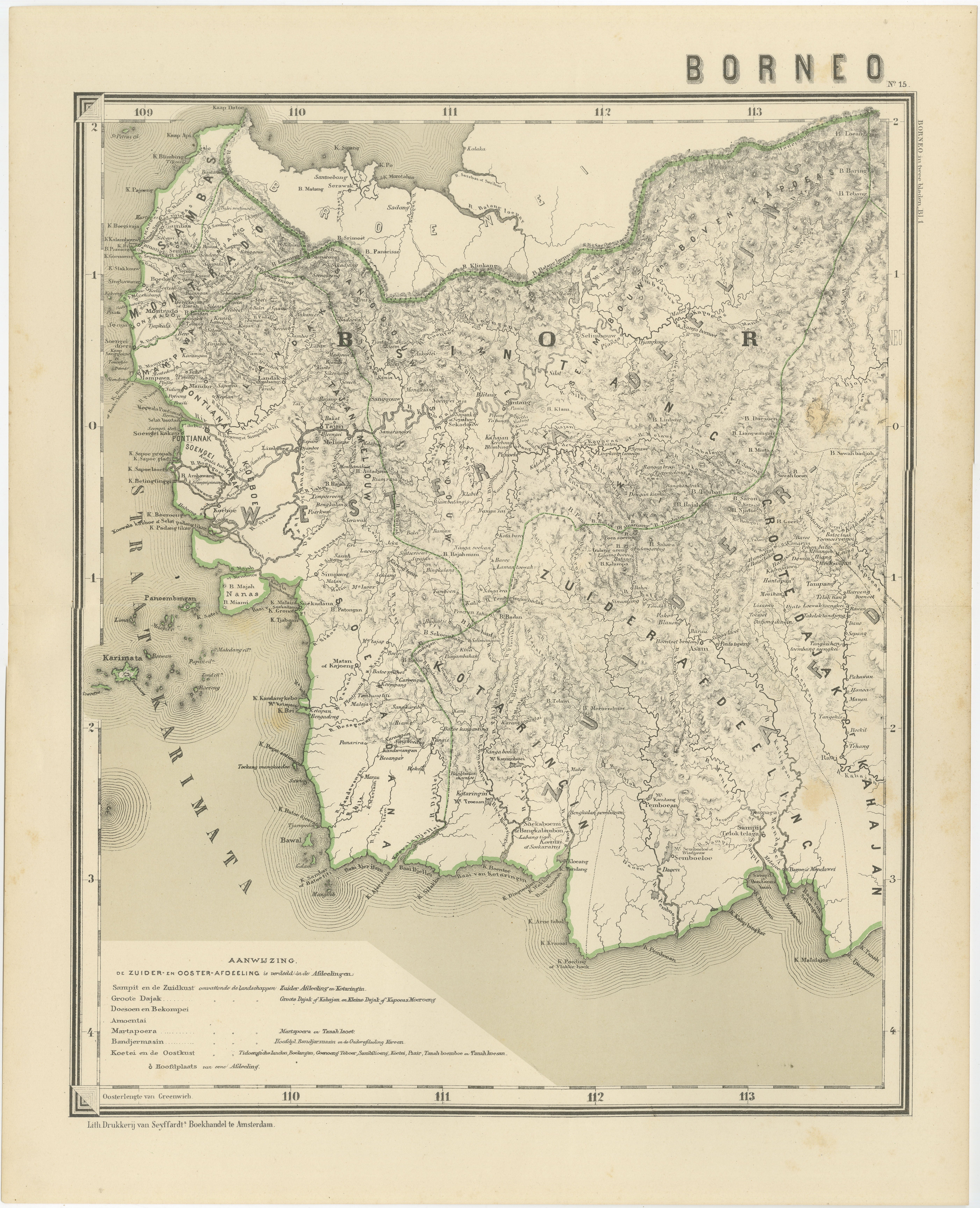
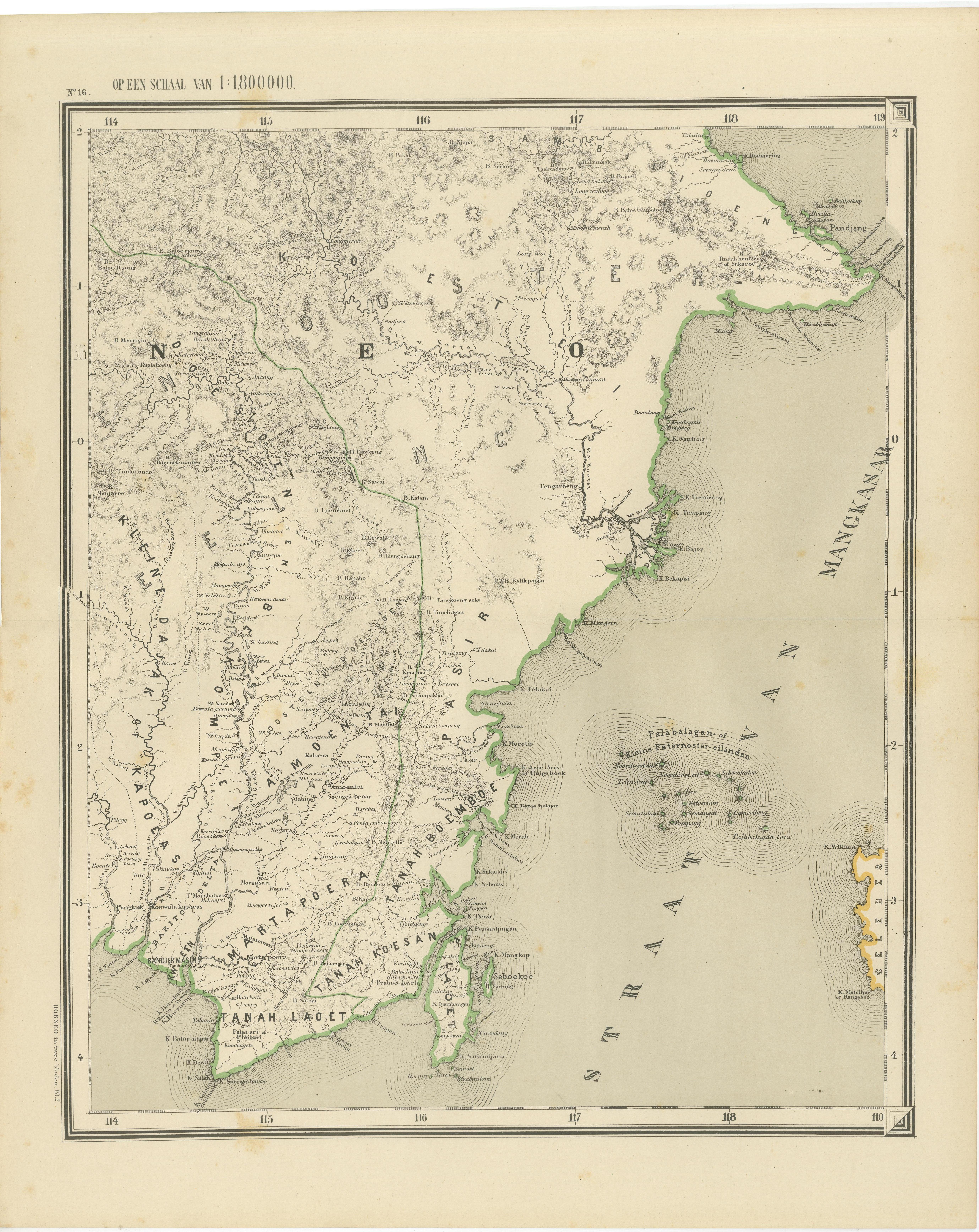
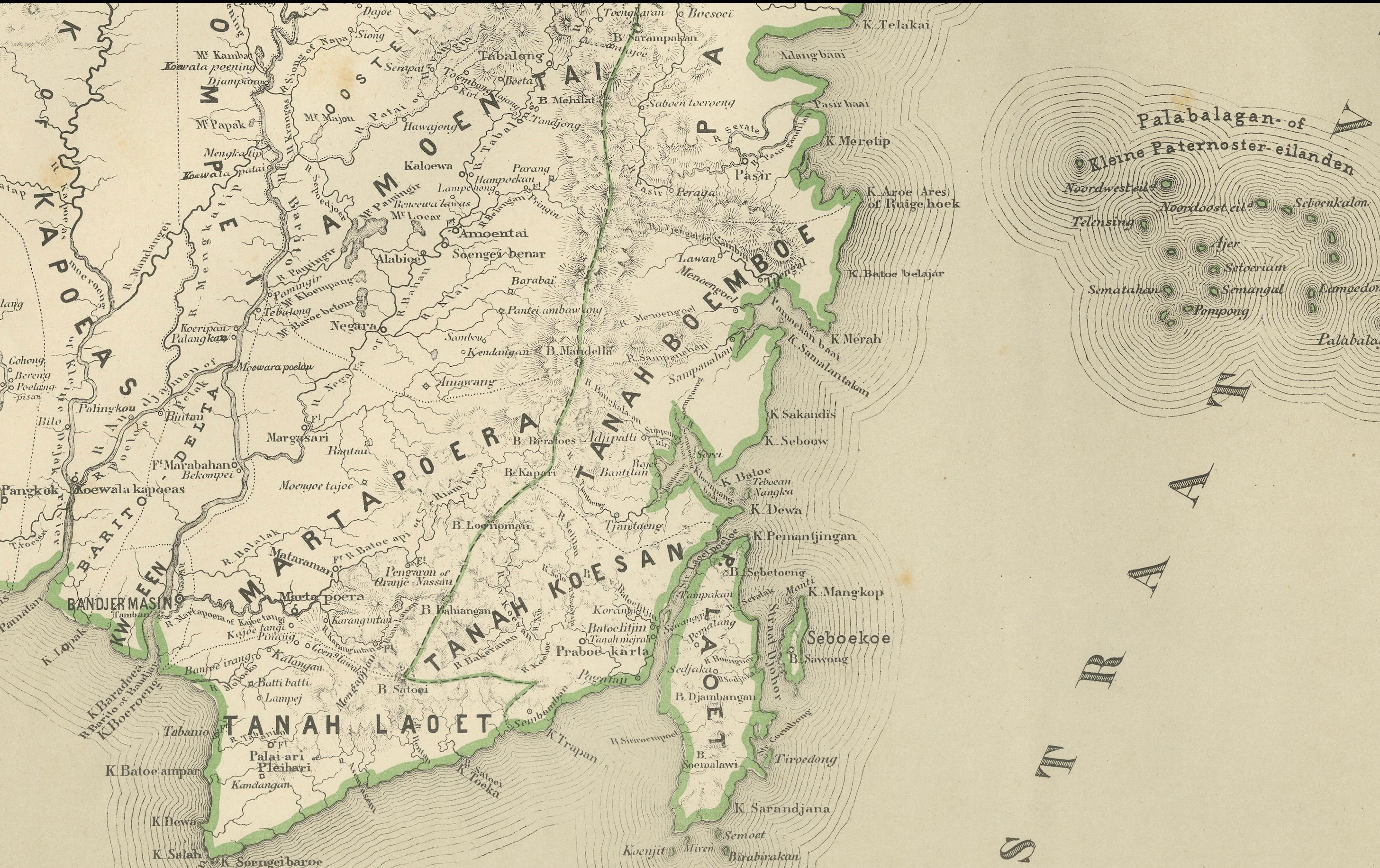
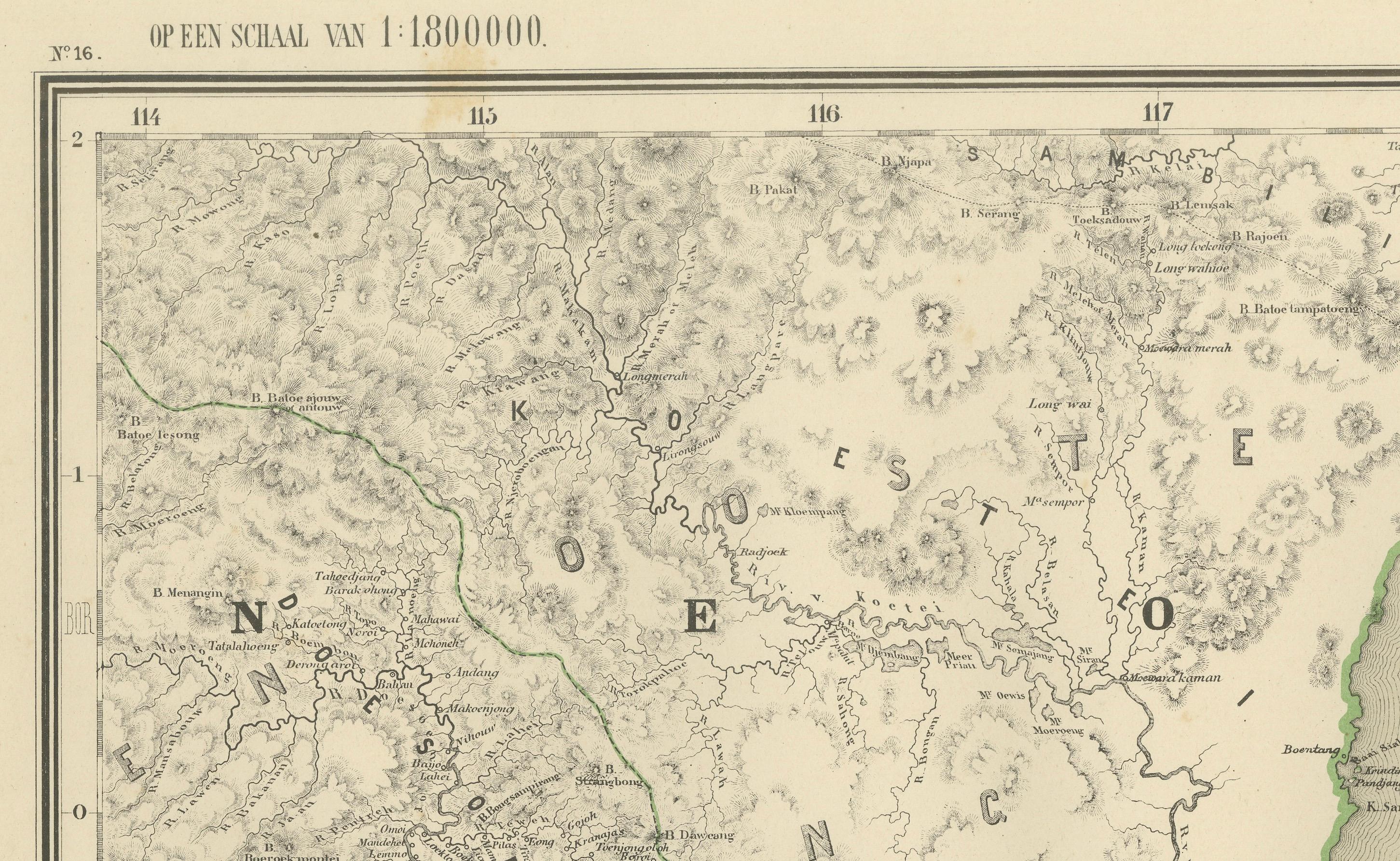
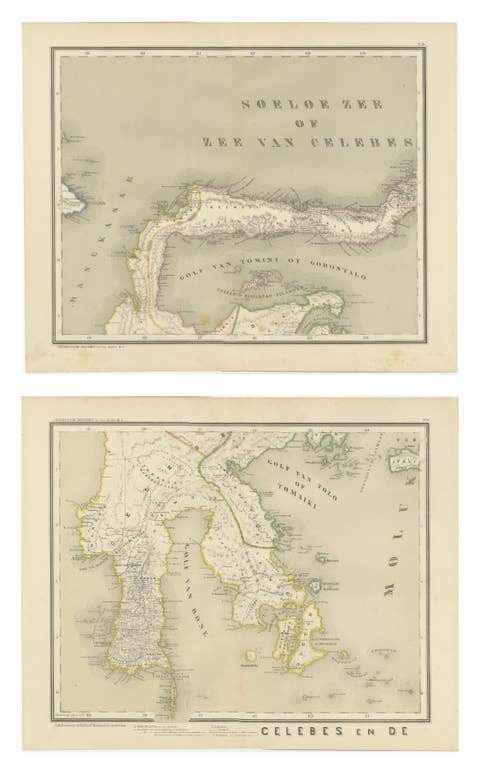
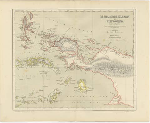
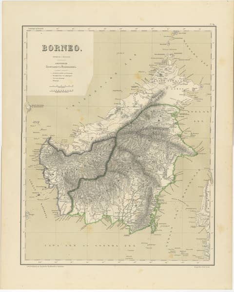
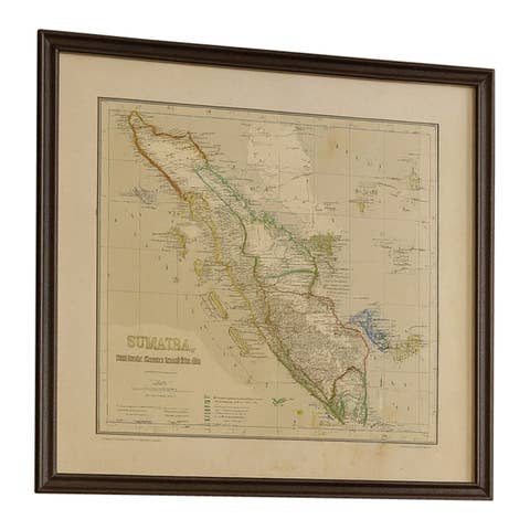
Antique Map Set of Western and Southern Borneo, Dutch East Indies Colonial Era
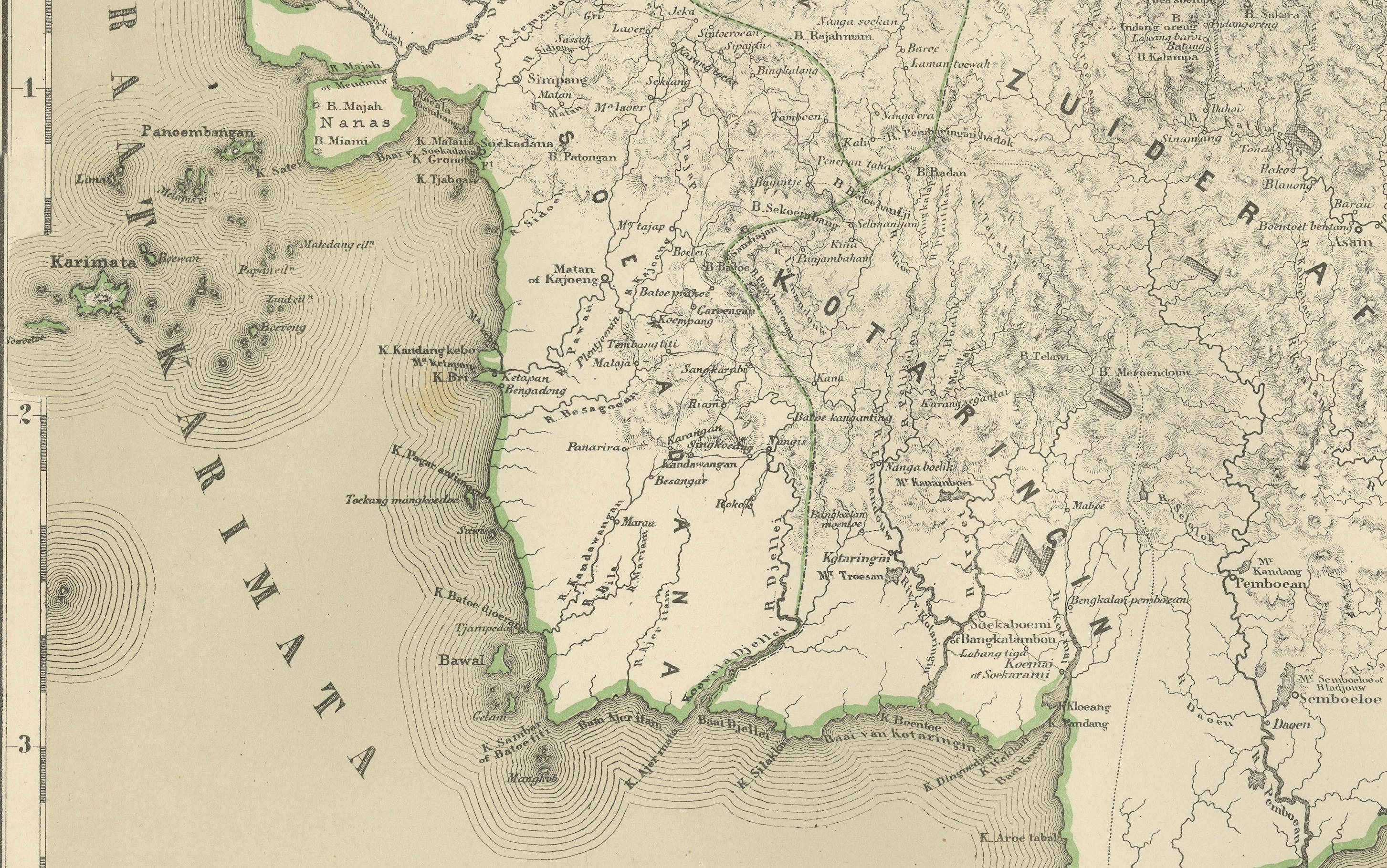
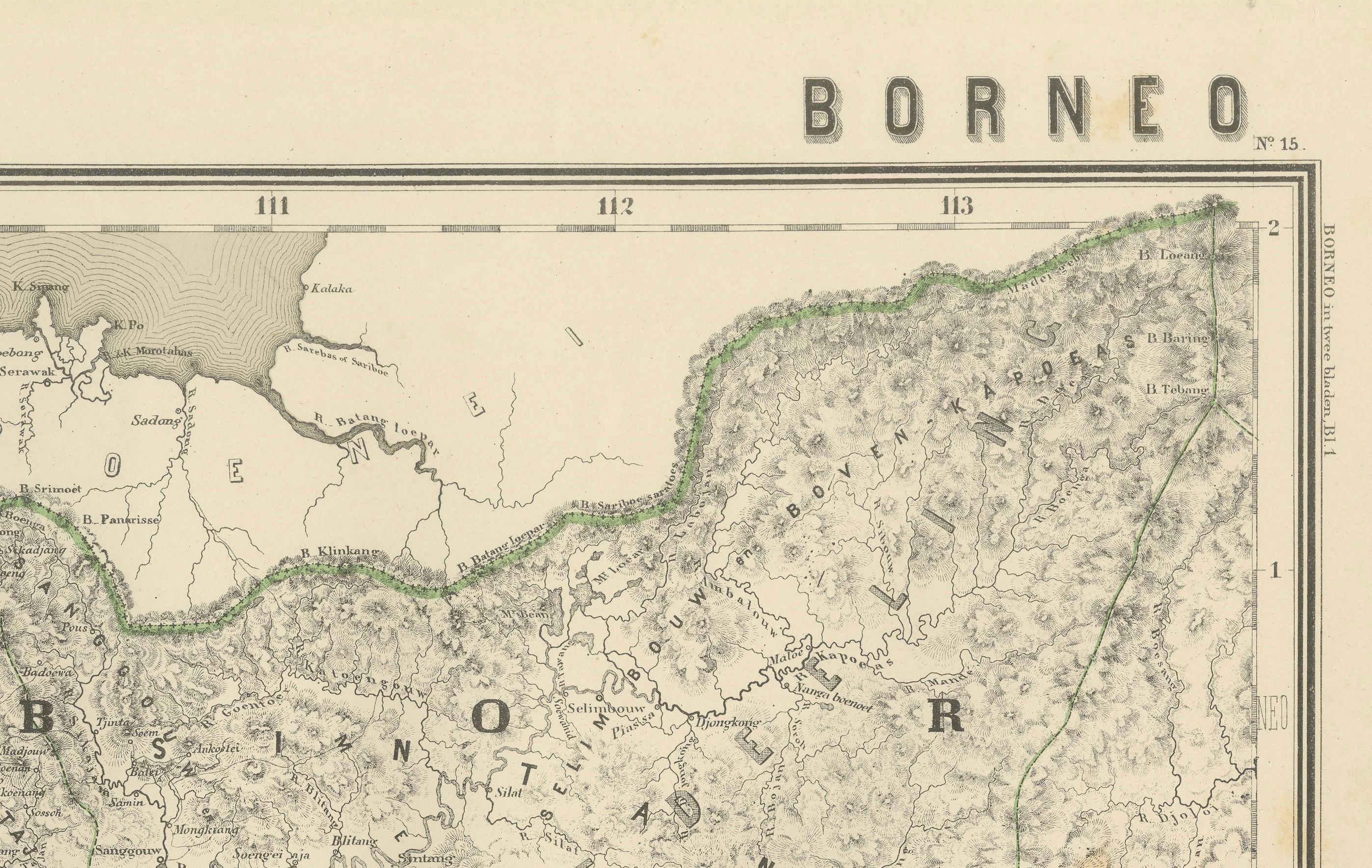
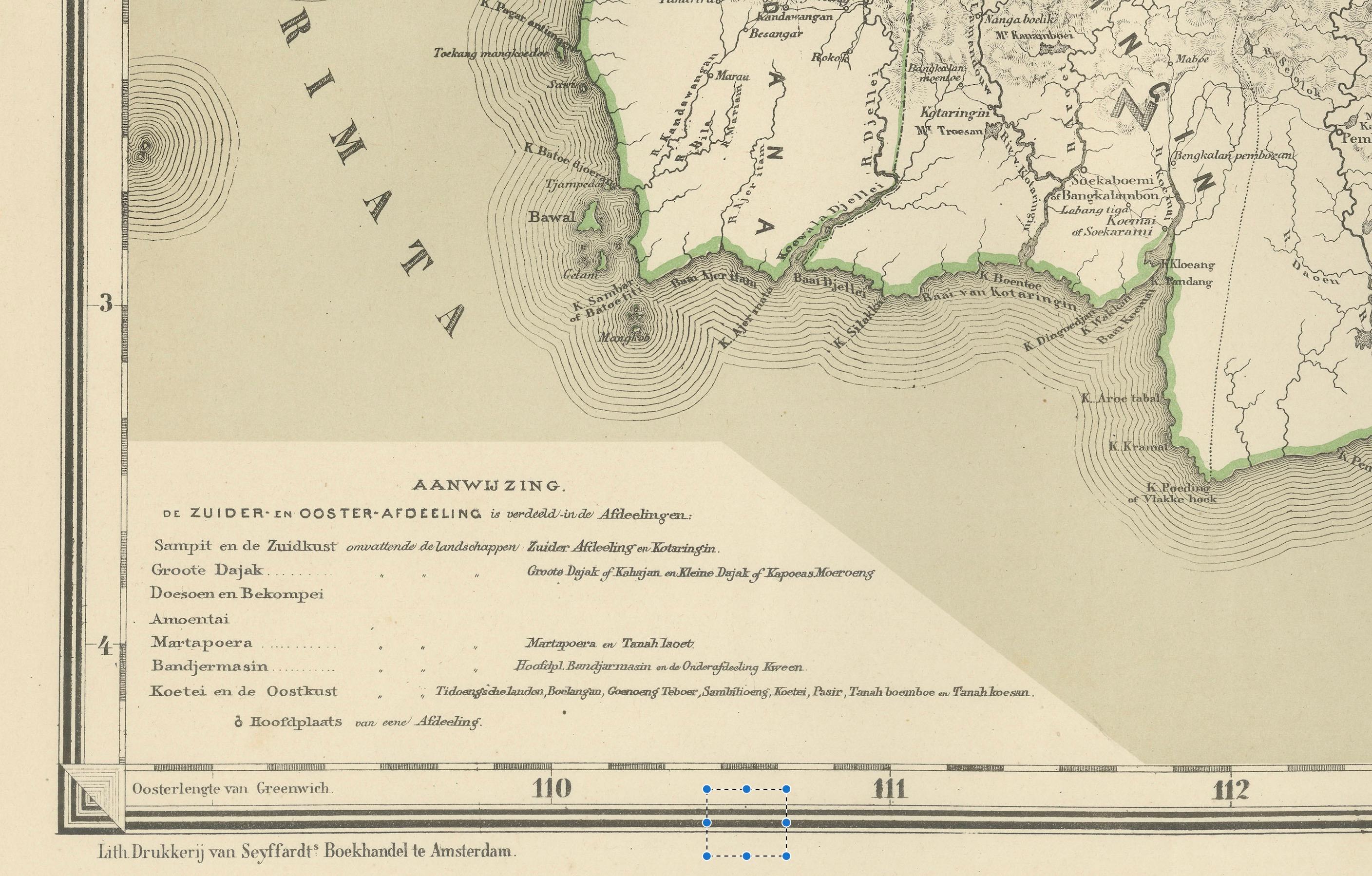
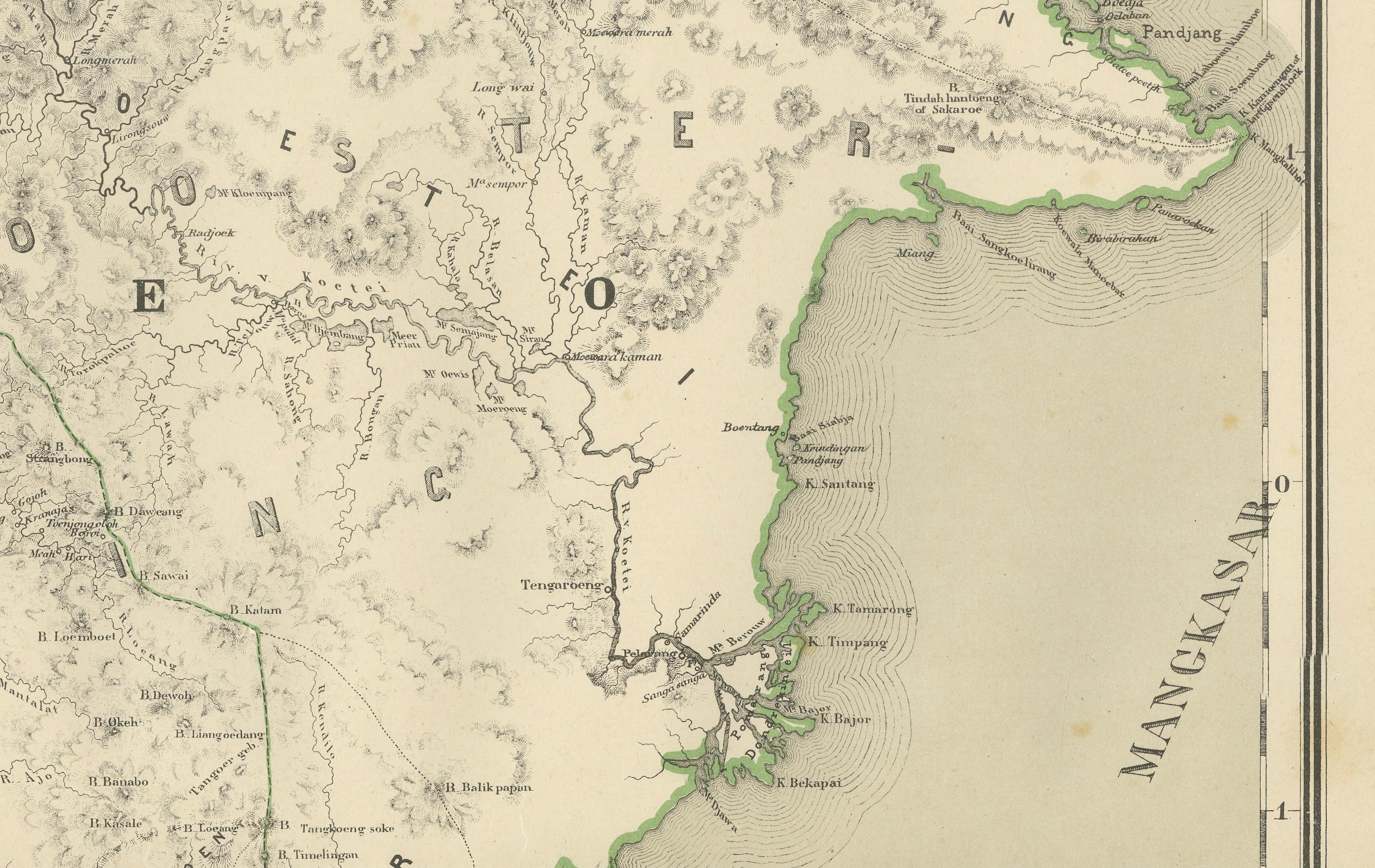
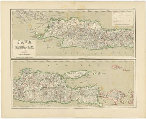
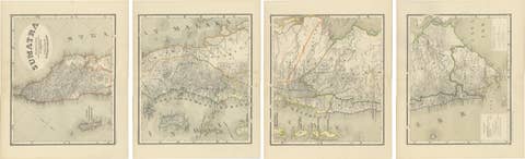
This impressive two-sheet antique map set depicts the western and southern regions of the island of Borneo during the late Dutch colonial period. Together, the two large-format sheets form a powerful geographic overview of what is today known as Indonesian Kalimantan Barat and Kalimantan Selatan, regions that were of great strategic and economic importance within the Dutch East Indies.
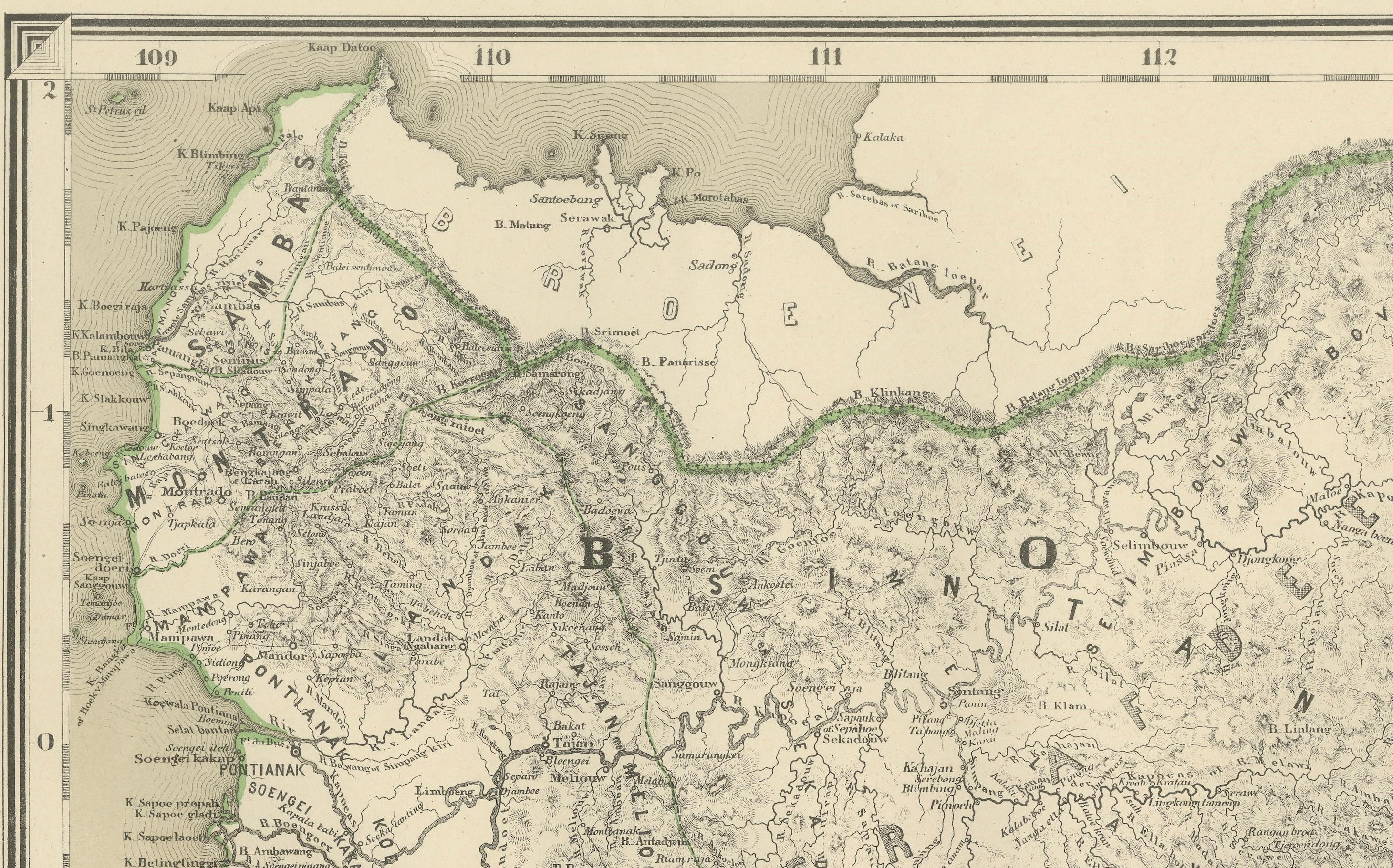
The maps present the coastal zones, river systems, interior highlands, settlements, and colonial administrative boundaries in remarkable detail. The immense river networks dominate the composition, illustrating how Borneo’s interior was accessed and structured primarily by waterways. Coastal trading ports, inland routes, and key territorial divisions are all clearly marked, reflecting the practical governmental purpose for which these maps were originally created.
Subtle original hand coloring highlights coastlines and political boundaries, creating a refined contrast against the dense engraved topographical detail. The aesthetic is sober, architectural, and highly decorative at the same time, making the pair exceptionally suitable for large wall display in both classic and modern interiors.
Historically, these maps capture Borneo at a moment when large areas of the interior were still only partially explored and documented by European surveyors. They reflect the late phase of Dutch colonial consolidation, scientific cartography, and territorial administration just prior to the dramatic political transformations of the 20th century.
Offered here as a matched original two-sheet set, this pairing is increasingly difficult to assemble intact. It is highly desirable for collectors of Southeast Asian cartography, Dutch colonial history, ethnographic exploration, and large-format historical wall maps. The set displays beautifully in libraries, studies, boardrooms, and curated interiors that favor strong geographic statement pieces.
Condition report
Both maps are in very good overall condition with light, even age toning and scattered minor foxing consistent with age. Original hand coloring remains fresh. No major tears, no heavy staining, and no losses. Clean, strong impressions.
Framing tips
This two-sheet Borneo set is ideally framed as a vertical or staggered wall installation with soft ivory or warm light-grey museum matting and slim dark walnut, bronze, or restrained gilt frames. UV-protective museum glass is strongly recommended to preserve the paper and original coloring.
Technique: Color lithography
Maker: Dutch colonial cartographic publication, Amsterdam, late 19th–early 20th century