About this sheet
Antique Map of Sumatra Bangka Belitung and Riau Dutch East Indies 19th Century
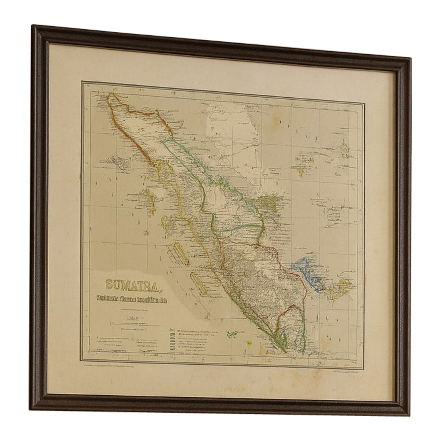
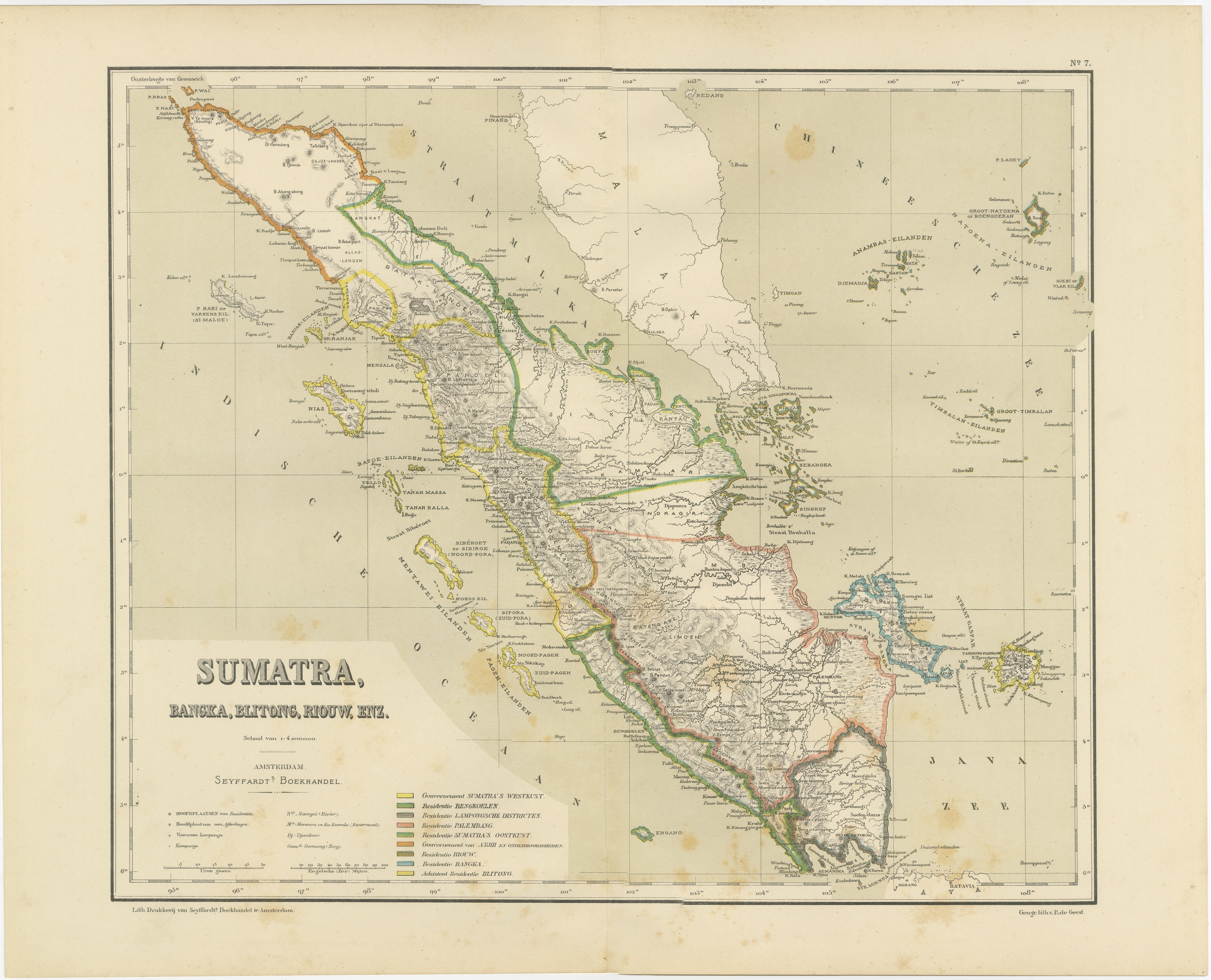
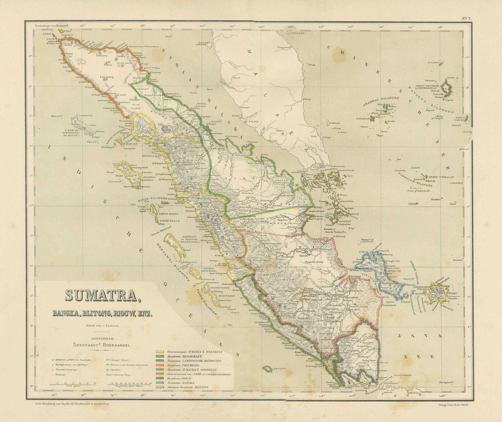
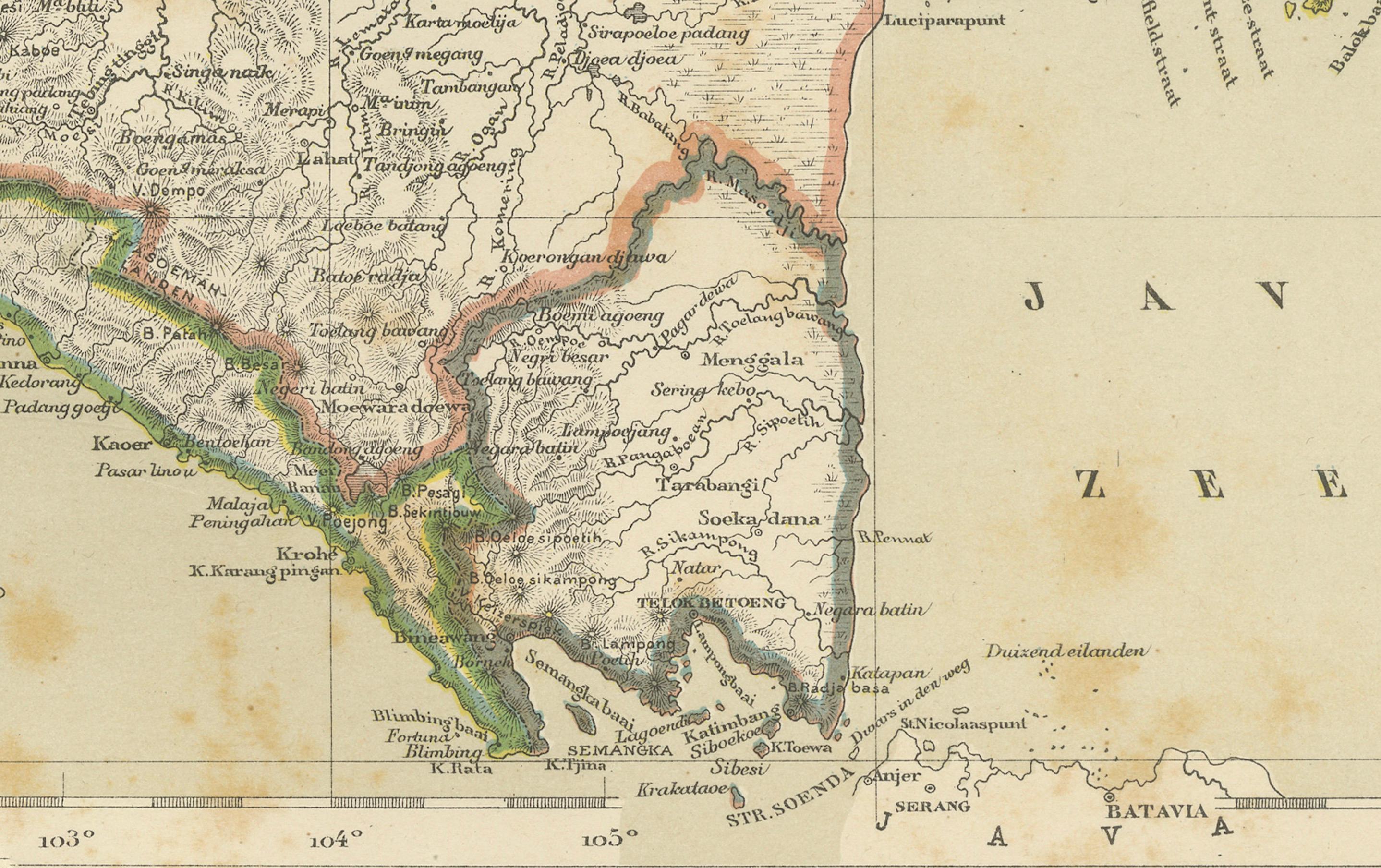
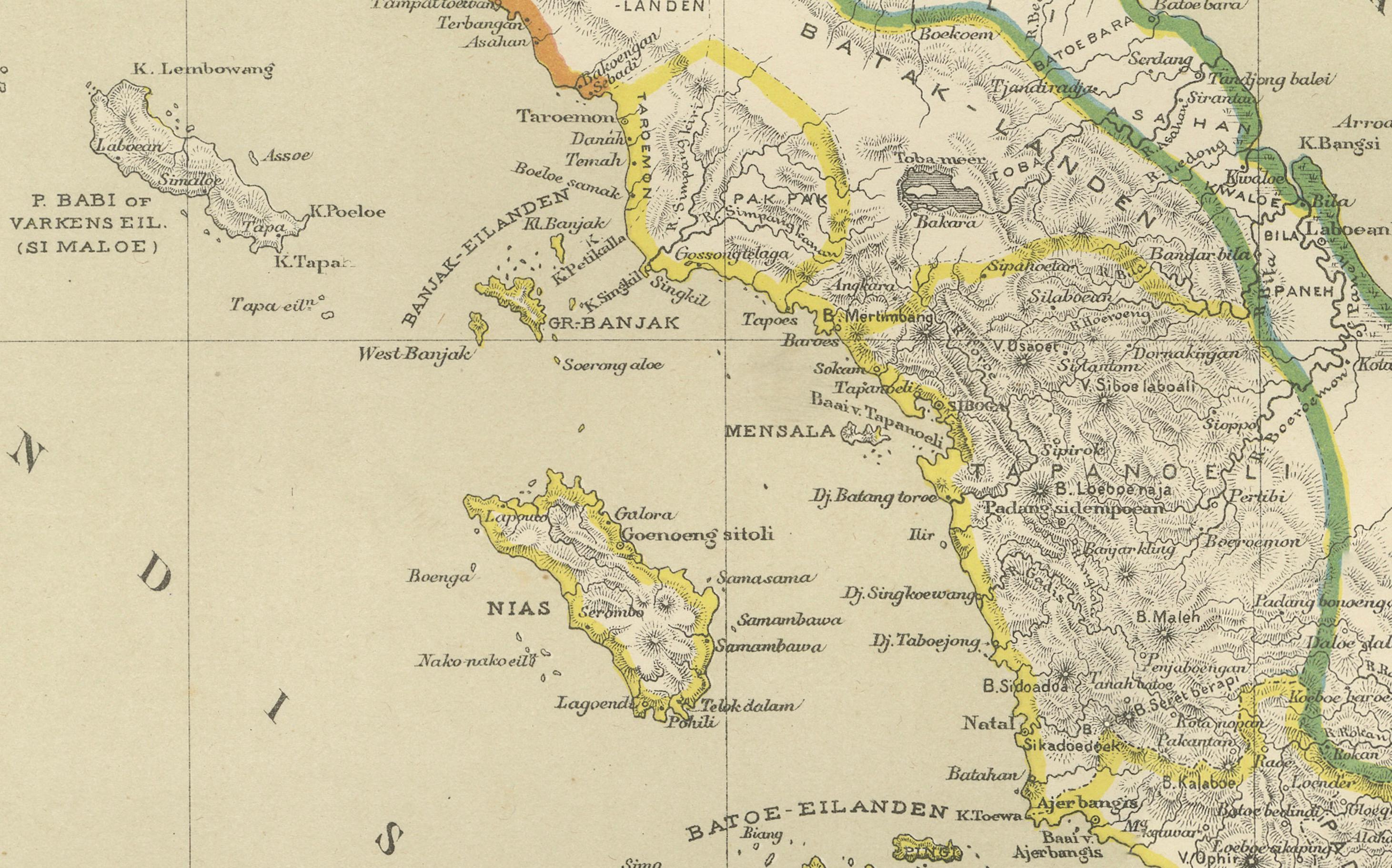
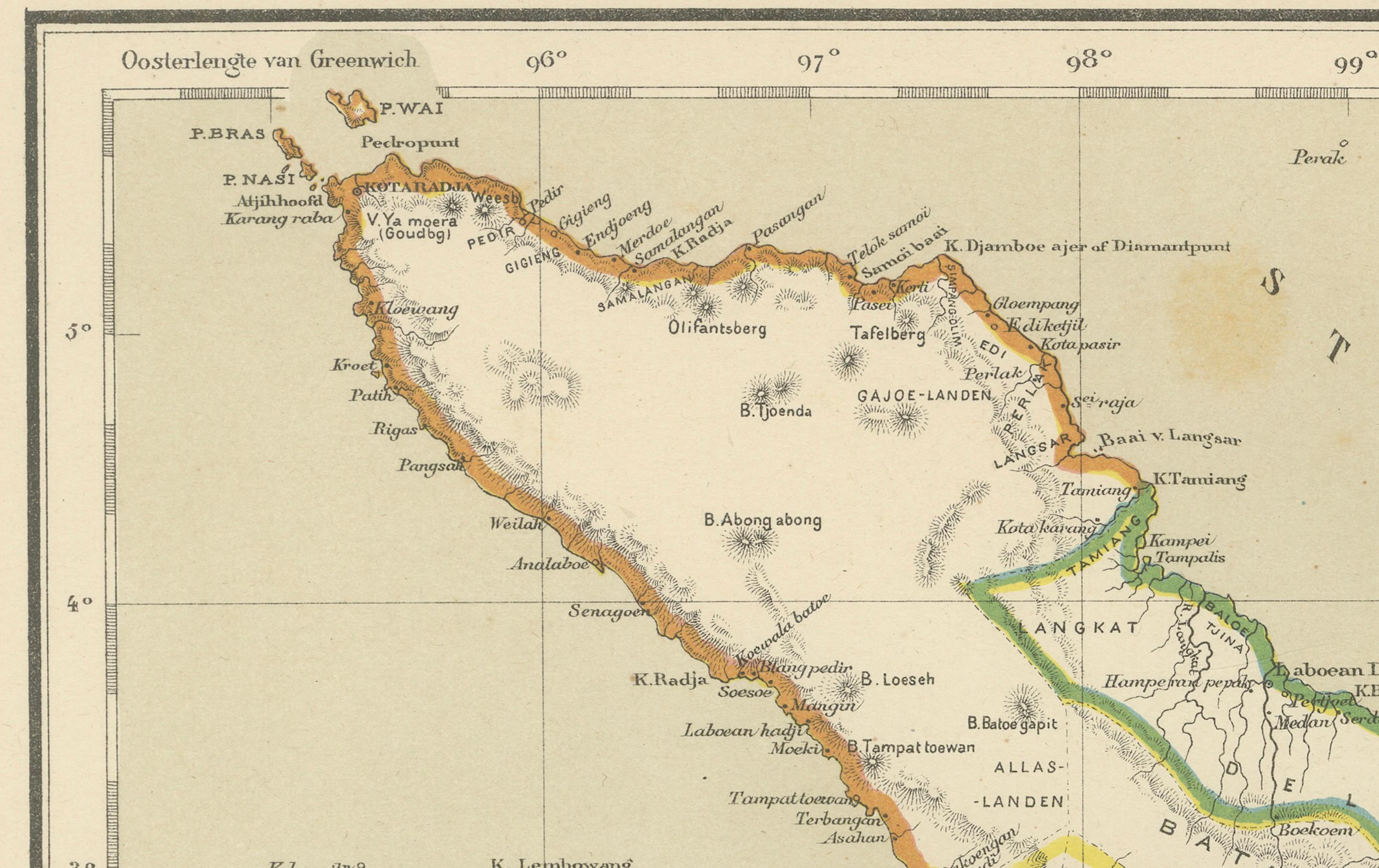
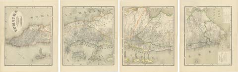
This large and highly detailed antique map depicts the island of Sumatra together with the surrounding islands of Bangka, Belitung, and the Riau archipelago during the late Dutch colonial period. The map presents Sumatra in full length from north to south, showing the dramatic natural geography of the island alongside its political and administrative organization under Dutch rule. Note: We do not sell the frame but only the sheet.
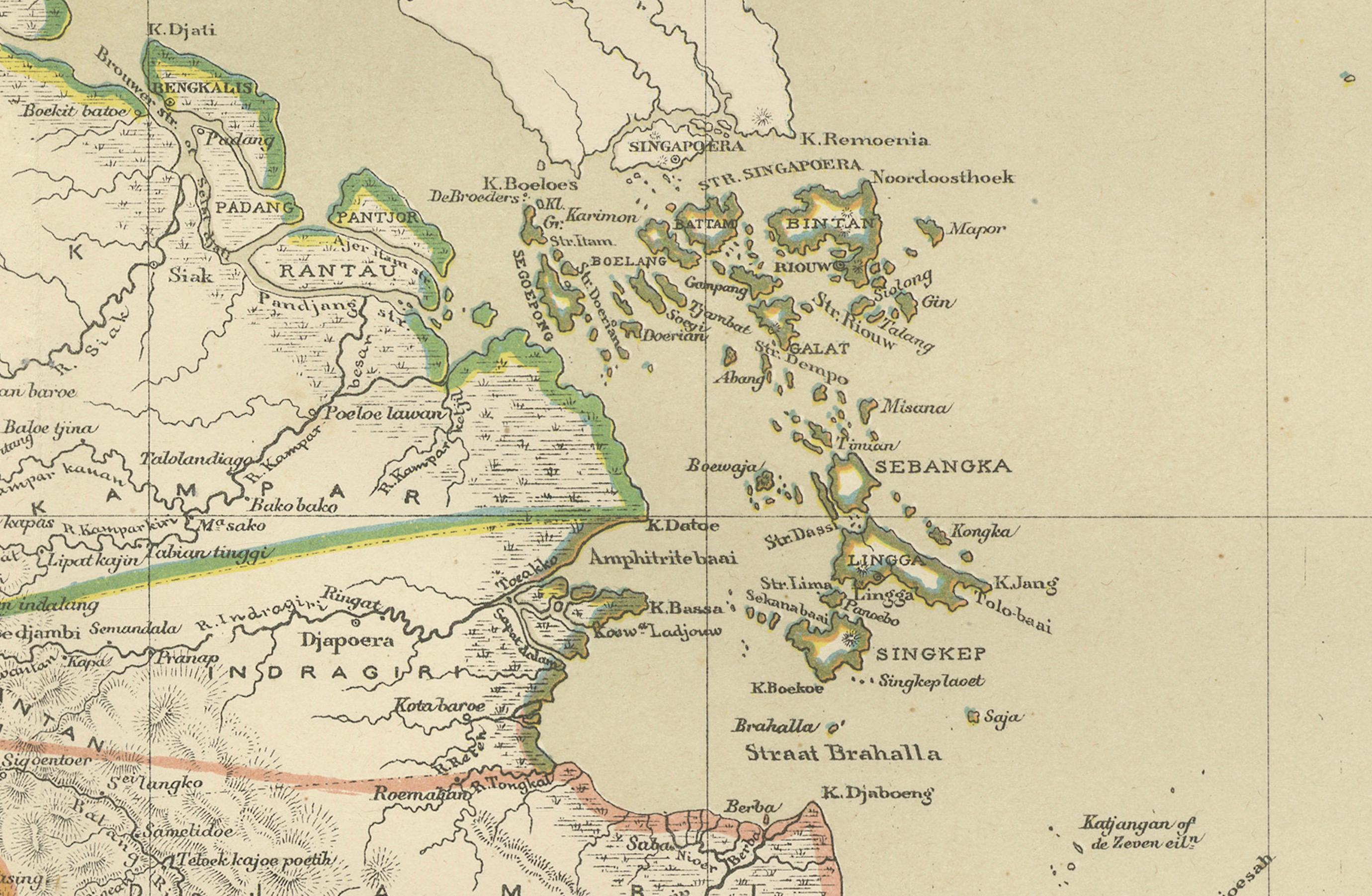
Mountain ranges, river systems, coastal profiles, inland roads, settlements, and colonial districts are all rendered with remarkable precision. The map clearly illustrates the strategic importance of Sumatra within the Dutch East Indies, including key ports, plantation zones, and regional divisions. The Strait of Malacca and adjacent maritime routes are prominently shown, underscoring the island’s role in international trade and colonial logistics.
Original hand-applied color highlights administrative boundaries and coastal contours, creating a striking contrast against the finely engraved topographic detail. The palette remains refined and well balanced, with soft greens, reds, and yellows enhancing both legibility and decorative appeal. The overall composition is elegant, authoritative, and highly suitable for wall display.
This map represents Sumatra at a pivotal moment in its colonial history, just prior to the major political changes of the twentieth century. It offers not only visual beauty but also important historical insight into the infrastructure, governance, and territorial organization of colonial Indonesia.
Highly desirable for collectors of Southeast Asian cartography, Indonesian history, plantation-era studies, and large-format colonial wall maps. It also works exceptionally well in libraries, offices, boardrooms, and curated interiors where scale and historical depth are appreciated.
Condition report
Very good overall condition with light, even age toning and scattered minor foxing consistent with age. Original color remains fresh and well preserved. No major tears, no heavy staining, and no losses. Clean, strong impression.
We do not sell the frame but only the sheet!
Framing tips
This wide-format map is best framed with soft ivory or warm light-grey museum matting and a slim dark walnut, bronze, or restrained gilt frame. UV-protective museum glass is strongly recommended. The panoramic format works especially well above desks, sideboards, and along long wall sections.
Technique: Color lithography
Maker: Dutch colonial cartographic publication, Amsterdam, 19th century
Keywords: antique sumatra map, dutch east indies map, colonial indonesia map, bangka belitung map, riau islands map, singapore strait map, malacca strait map, antique southeast asia map, dutch colonial cartography, 19th century sumatra map, voc era map, plantation indonesia map, large wall map asia, historical indonesia map, maritime southeast asia map