About this sheet
Antique Map Italy, Bartholomew for Black’s General Atlas, Edinburgh 1884
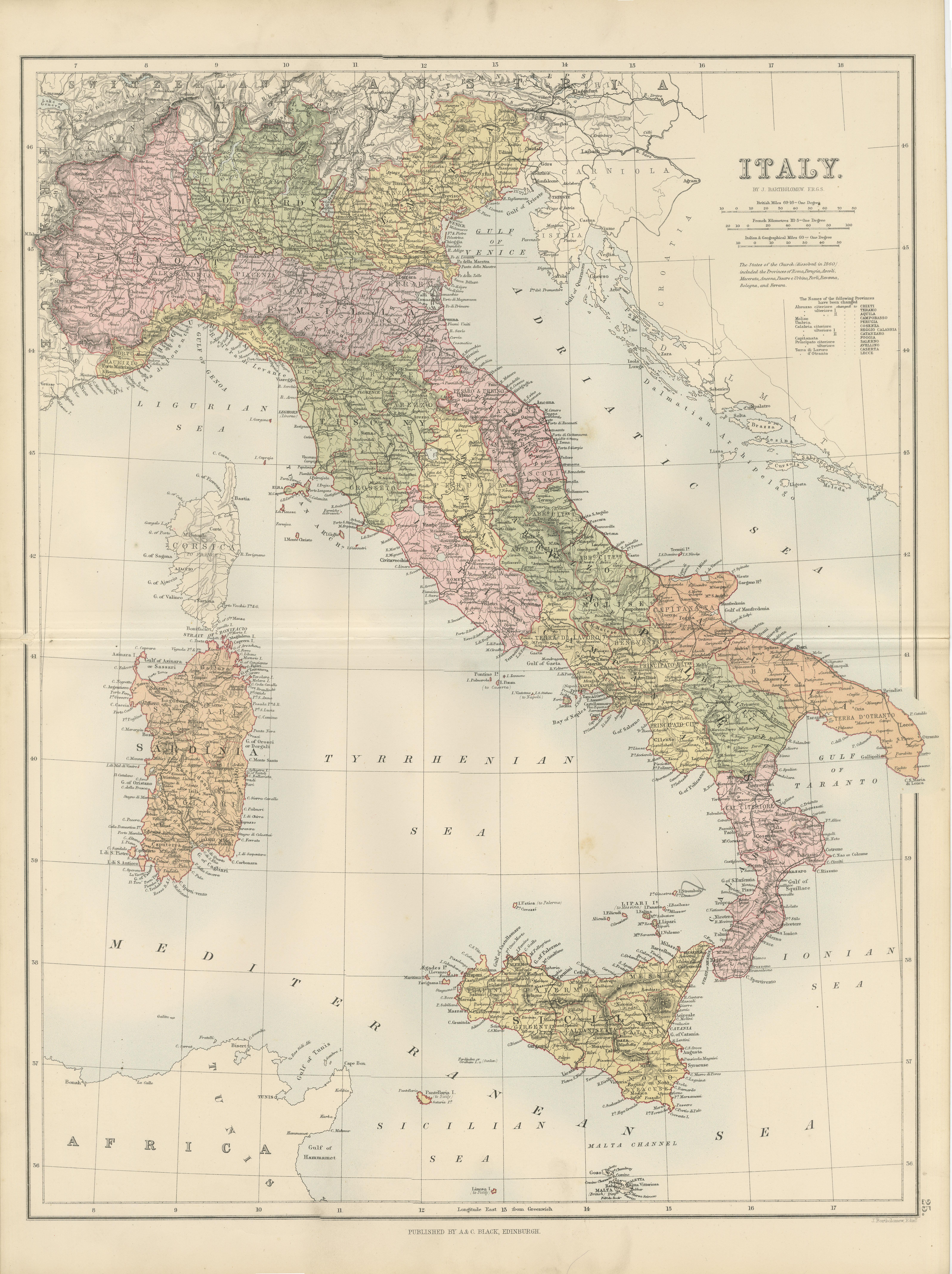
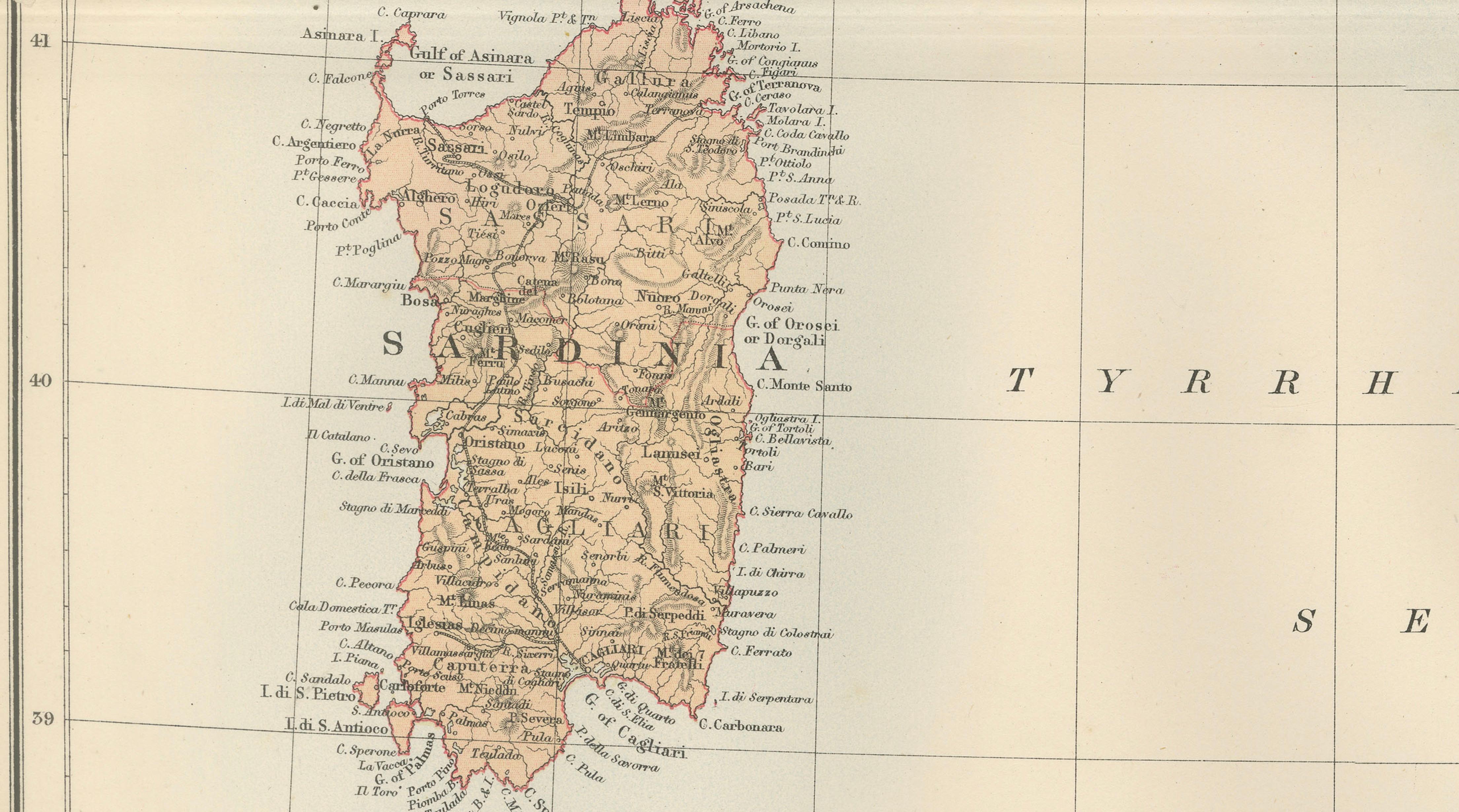
This detailed map of Italy was published in the New and Revised Edition of Black’s General Atlas of the World, issued in Edinburgh in 1884 by the respected Scottish publishing house A. & C. Black. The map was prepared under the direction of the renowned cartographer John Bartholomew, whose work played a major role in shaping nineteenth-century atlas cartography.
John Bartholomew was one of the most influential mapmakers of the Victorian era. His atlases for A. & C. Black were admired for their clarity, precision, and elegant presentation. Combining scientific geographic accuracy with refined engraving and printed color, Bartholomew’s maps became widely used in education, government, and scholarly circles throughout Europe and the British Empire.
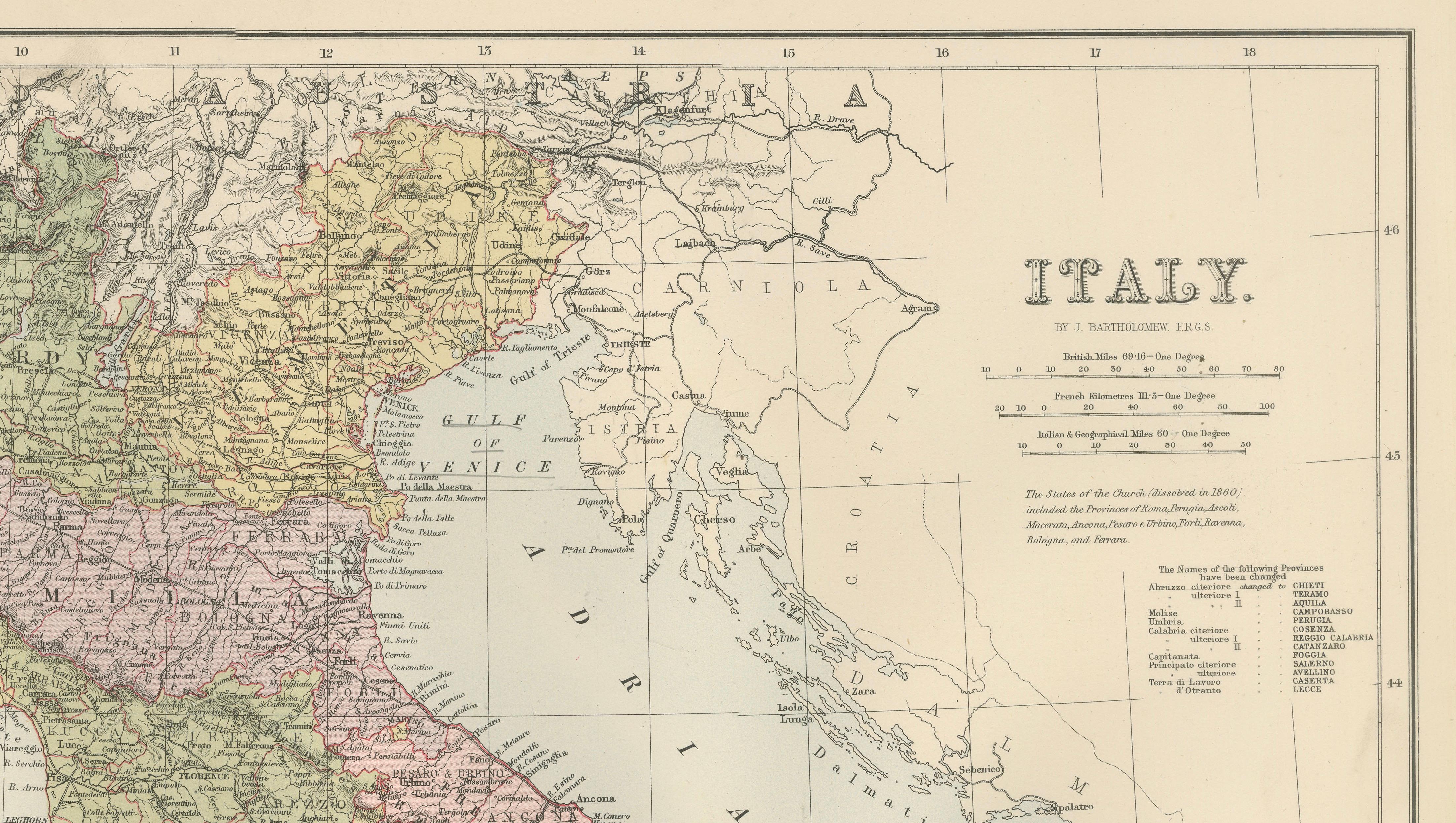
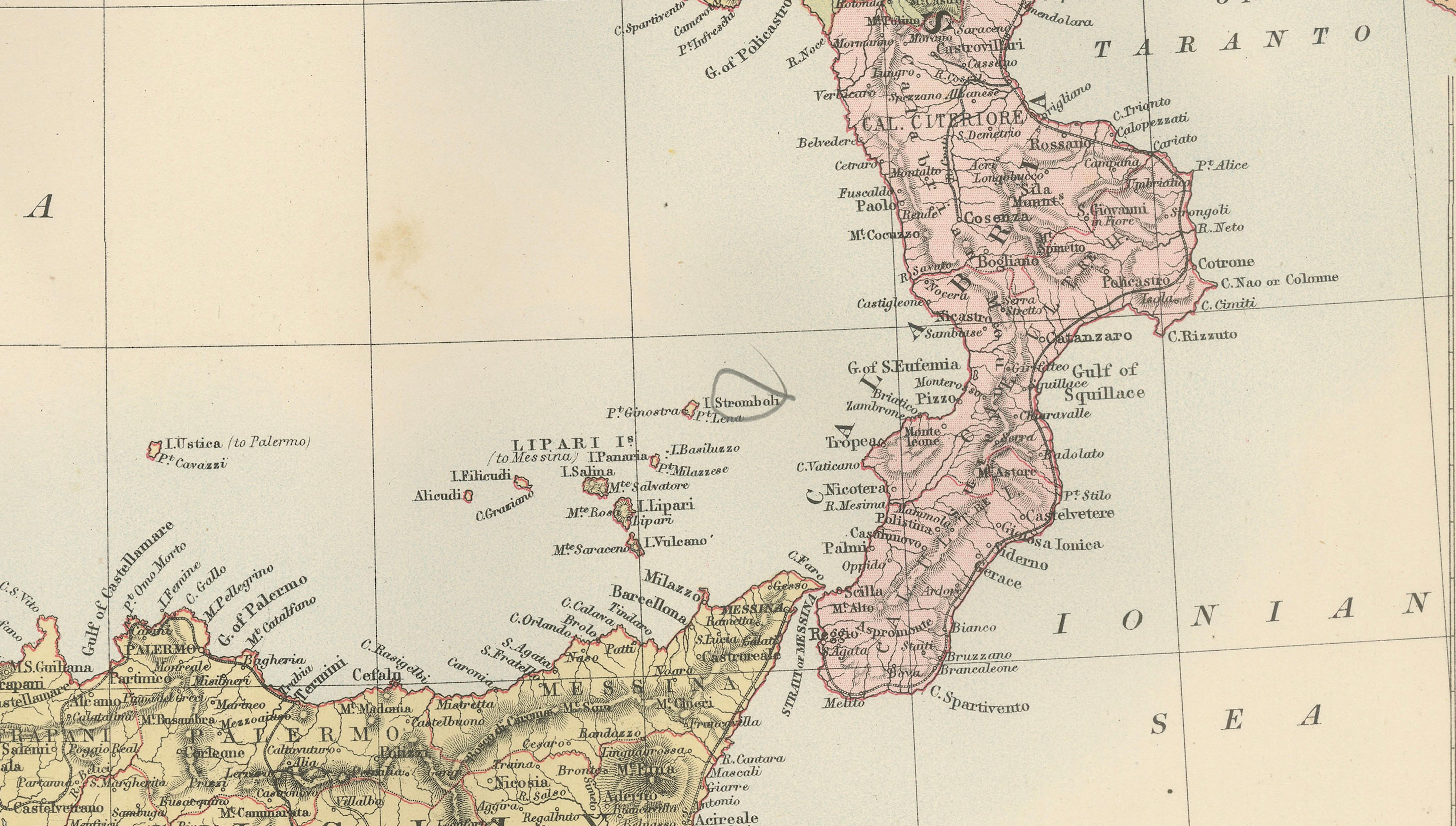
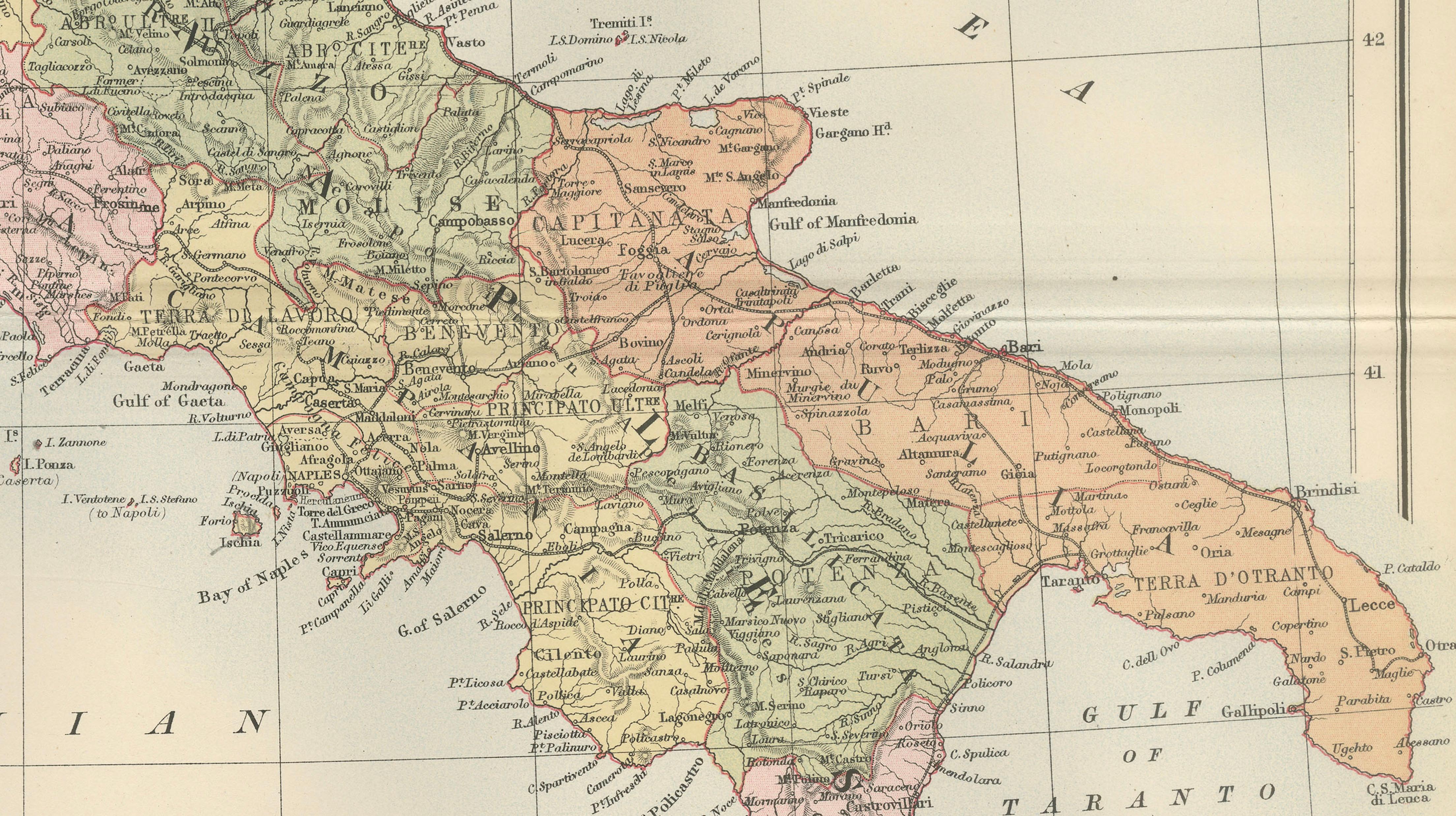
The map presents the Italian peninsula shortly after the unification of Italy in the nineteenth century. Political divisions are clearly distinguished through printed color, showing the administrative regions of the newly unified kingdom. The map extends from the Alpine frontier in the north to the southern tip of Calabria, capturing the entire peninsula with remarkable geographic detail.
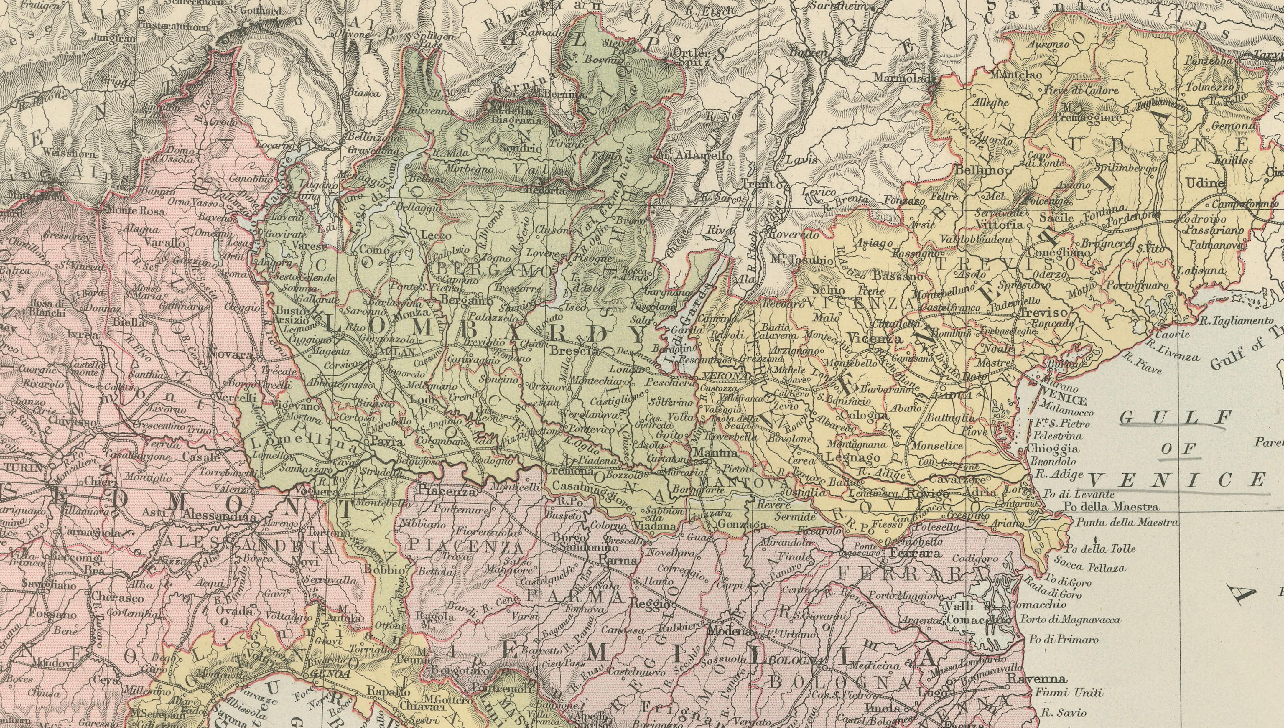
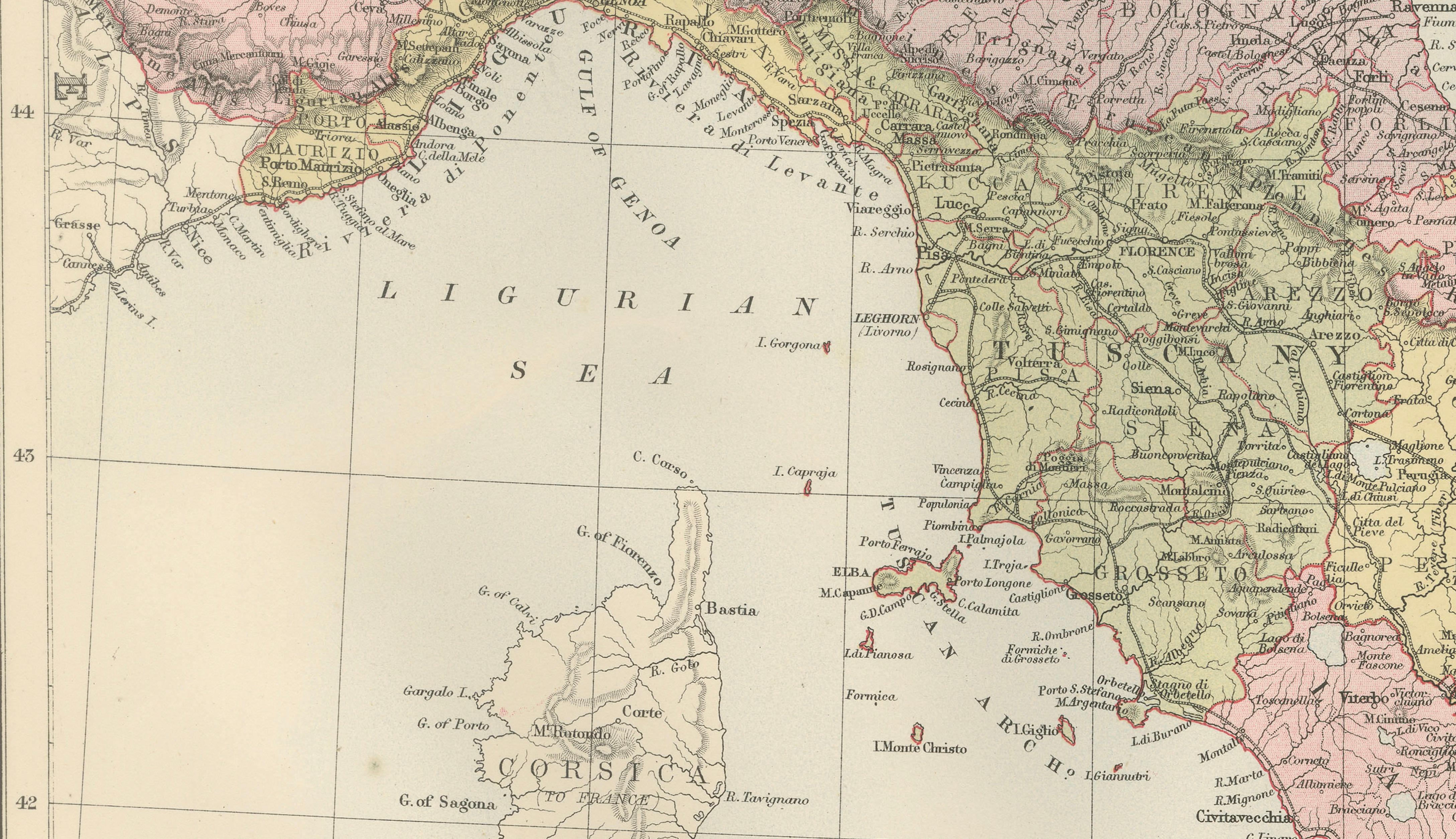
Northern Italy shows the Alpine region bordering Switzerland and Austria, with cities such as Turin, Milan, and Venice prominently marked. The Po River basin is depicted with a dense network of towns and transportation routes reflecting the economic importance of the region. Central Italy includes Florence, Pisa, and Rome, while the southern regions show Naples and the mountainous landscapes of Calabria and Basilicata.
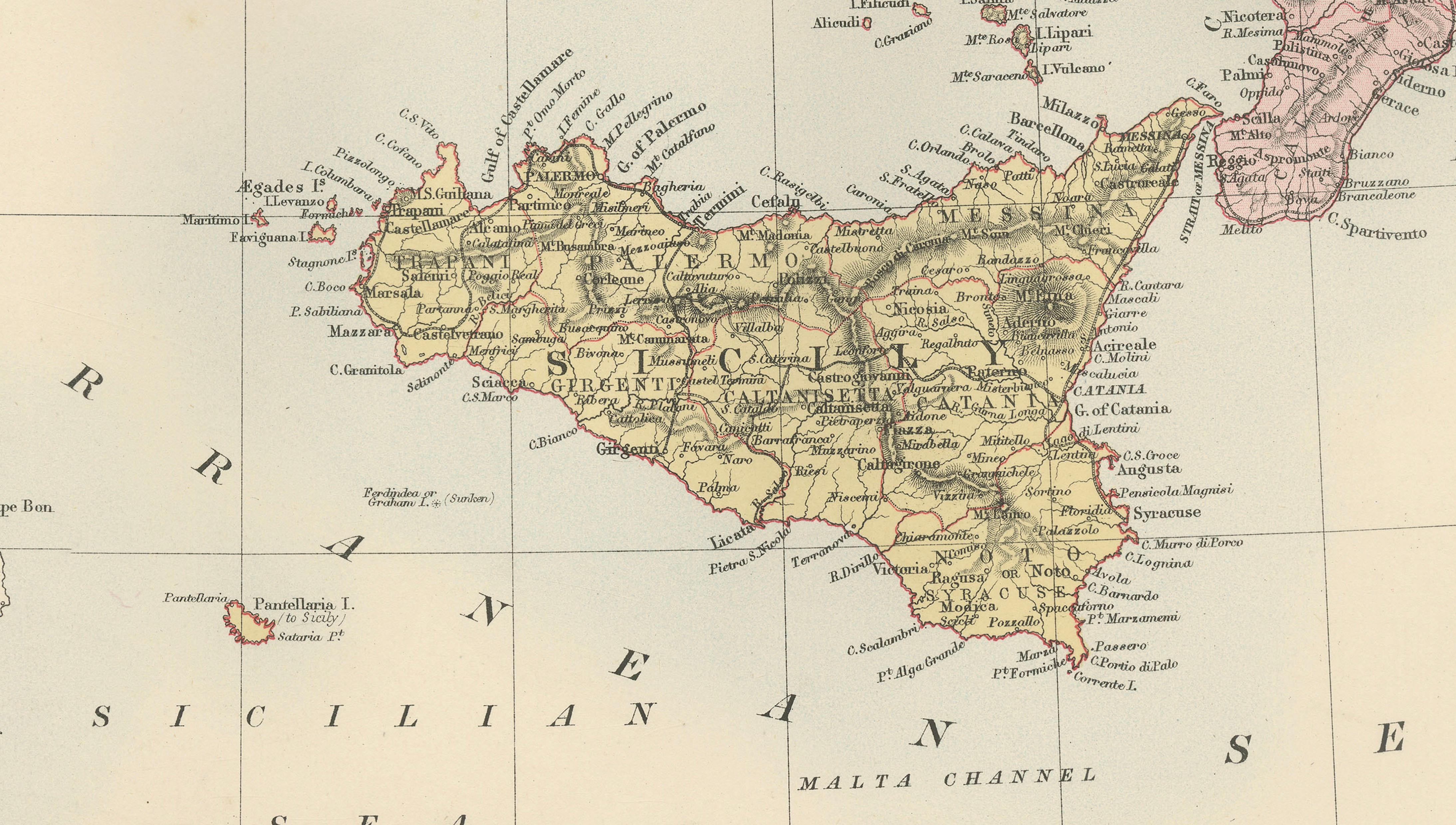
The map also includes the major Italian islands. Sardinia appears to the west of the peninsula, while Sicily is prominently shown to the south, including Mount Etna and the surrounding coastal settlements. Malta is also indicated in the Mediterranean Sea below Sicily, highlighting the broader geographic context of southern Italy within the Mediterranean world.
Throughout the map, thousands of place names, rivers, mountain ranges, and coastal features are carefully engraved. The seas surrounding the peninsula are clearly labeled, including the Tyrrhenian Sea, the Adriatic Sea, and the Ionian Sea. The fine engraving and printed color typical of late nineteenth-century atlas production give the map both historical importance and visual appeal.
Because it originates from one of the most respected Victorian atlases, the map is both historically informative and decorative. It makes an excellent addition to collections of European cartography, Italian history, or nineteenth-century geography. Framed, it also serves as an elegant decorative map suitable for libraries, offices, or interior design settings.
Condition:
Very good antique condition. Light age toning and minor handling wear consistent with age. Original center fold visible as issued in the atlas. The printed colors remain clear and attractive.
Framing tips:
This map frames beautifully with a generous ivory or museum-white mat and a dark walnut or ebonized frame. The vertical composition of the Italian peninsula creates an elegant and balanced presentation that works well in studies, libraries, or classic interior settings.
Technique: engraving with printed color
Maker: J. Bartholomew for A. & C. Black, Edinburgh, 1884
Keywords
Italy, antique map Italy, Italy map 1884, Bartholomew map Italy, Black’s General Atlas, Italian peninsula map, historical map Italy, Victorian map Italy, Sardinia map, Sicily map, Mediterranean map, Rome, Milan, Venice, Florence, Naples, Turin, Genoa, Bologna, Pisa, Palermo, Catania, Calabria, Tuscany, Lombardy, Piedmont, Alps, Adriatic Sea, Tyrrhenian Sea, Ionian Sea, Malta, Mediterranean cartography, 19th century map Europe