About this sheet
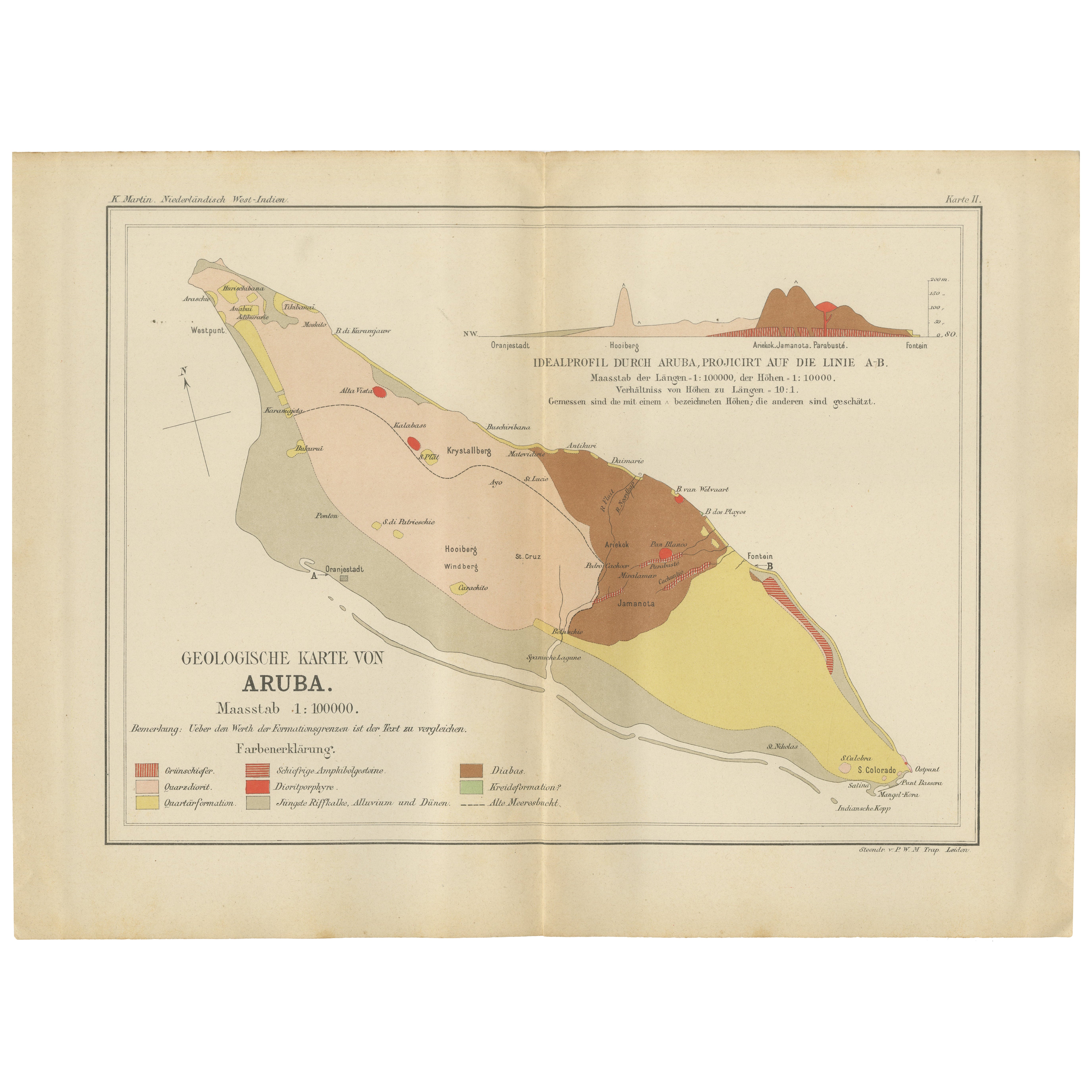
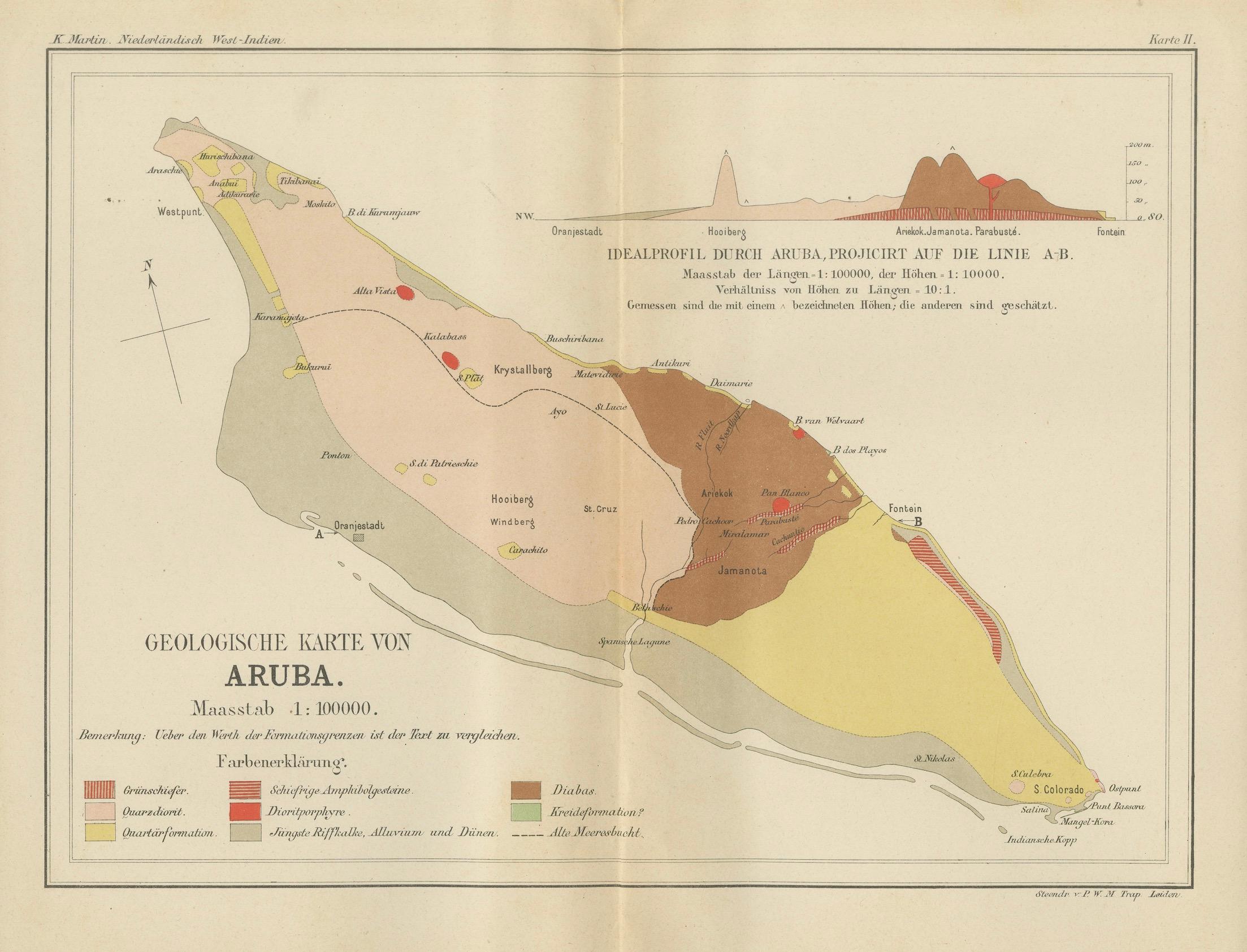
Geological Map of Aruba 1888 Dutch West Indies by Karl Martin
This finely detailed geological map of Aruba was published in 1888 as part of Karl Martin’s authoritative scientific study Bericht über eine Reise nach Niederländisch West-Indien, issued by the renowned academic publisher E. J. Brill in Leiden. Martin, Professor of Geology at the University of Leiden, was among the most influential Dutch geologists of the late 19th century, and his Caribbean research laid the foundation for the modern geological understanding of the Dutch West Indies.
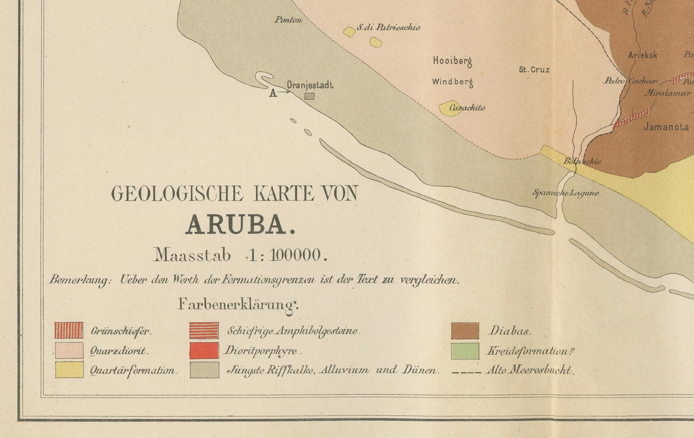
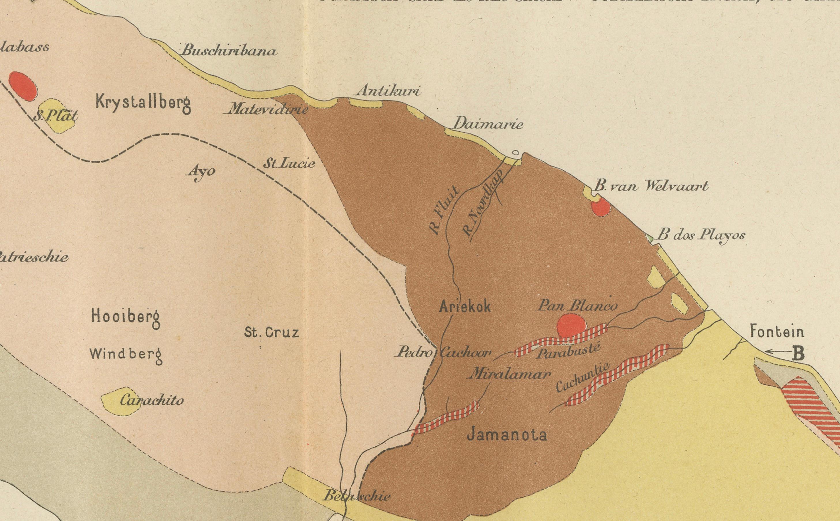
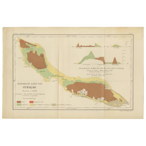
The map presents Aruba in elegant hand-colored lithography, with clearly differentiated geological zones rendered in soft pastel tones of pink, yellow, green, brown, and red. Volcanic, sedimentary, coral, and alluvial formations are carefully distinguished, revealing the island’s complex geological structure in a visually harmonious and scientifically precise composition. Coastal outlines, bays, settlements, and terrain features are crisply defined, while inland formations expose the deep geological history of the island.
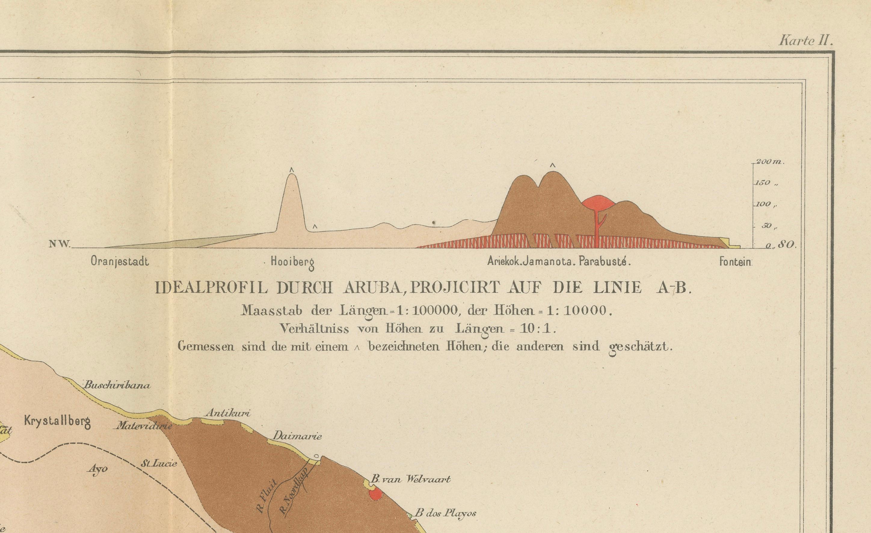
At the upper right, the map features an “Ideal Profile” cross-section through Aruba along line A–B, illustrating elevation changes and subsurface geological layers from coast to coast. This scientific profile adds both educational depth and strong decorative appeal, making the map as compelling intellectually as it is visually. The combination of map and geological profile reflects the high standards of late 19th-century scientific cartography.
Beyond its scientific importance, this map is a powerful historical artifact from the period of Dutch colonial exploration and documentation in the Caribbean. It speaks directly to the era when geology, mineral exploration, and natural resource mapping were central to European overseas research. Today, it is highly sought after by collectors of Caribbean material, Dutch colonial cartography, geology, and museum-grade interior art.
With its refined coloring, balanced layout, and strong historical context, this map works equally well in classic interiors, contemporary design spaces, boardrooms, hotel suites, and curated library walls. It naturally complements the Geological Map of Curaçao from the same work as a matched Caribbean wall set.
Condition Report
Original folding map in very good antique condition. Even age toning consistent with late 19th-century paper. Light centre fold and secondary folds as issued. Minor foxing, primarily confined to the margins. Colors remain fresh and well preserved. No losses, no restorations, and no structural damage.
Framing Tips
This map frames beautifully in wide dark walnut, black lacquer, or brushed bronze frames with a soft ivory or light grey museum mat. For a contemporary presentation, the sheet can be floated in a deep shadow-box frame to reveal the full paper edges and original fold structure. Works exceptionally well as a statement piece above a desk, console, or sofa.
Technique: Lithograph
Maker: Karl Martin, Leiden, 1888
SEO Keyword Block
Aruba geological map
Antique Aruba map 1888
Dutch West Indies map
Caribbean geology map
Karl Martin Leiden
E J Brill Leiden map
Antique Caribbean wall map
Dutch colonial cartography
19th century geology map
Aruba island antique map
Colonial scientific map
Caribbean exploration map
Museum geology map
Antique island cartography