About this sheet
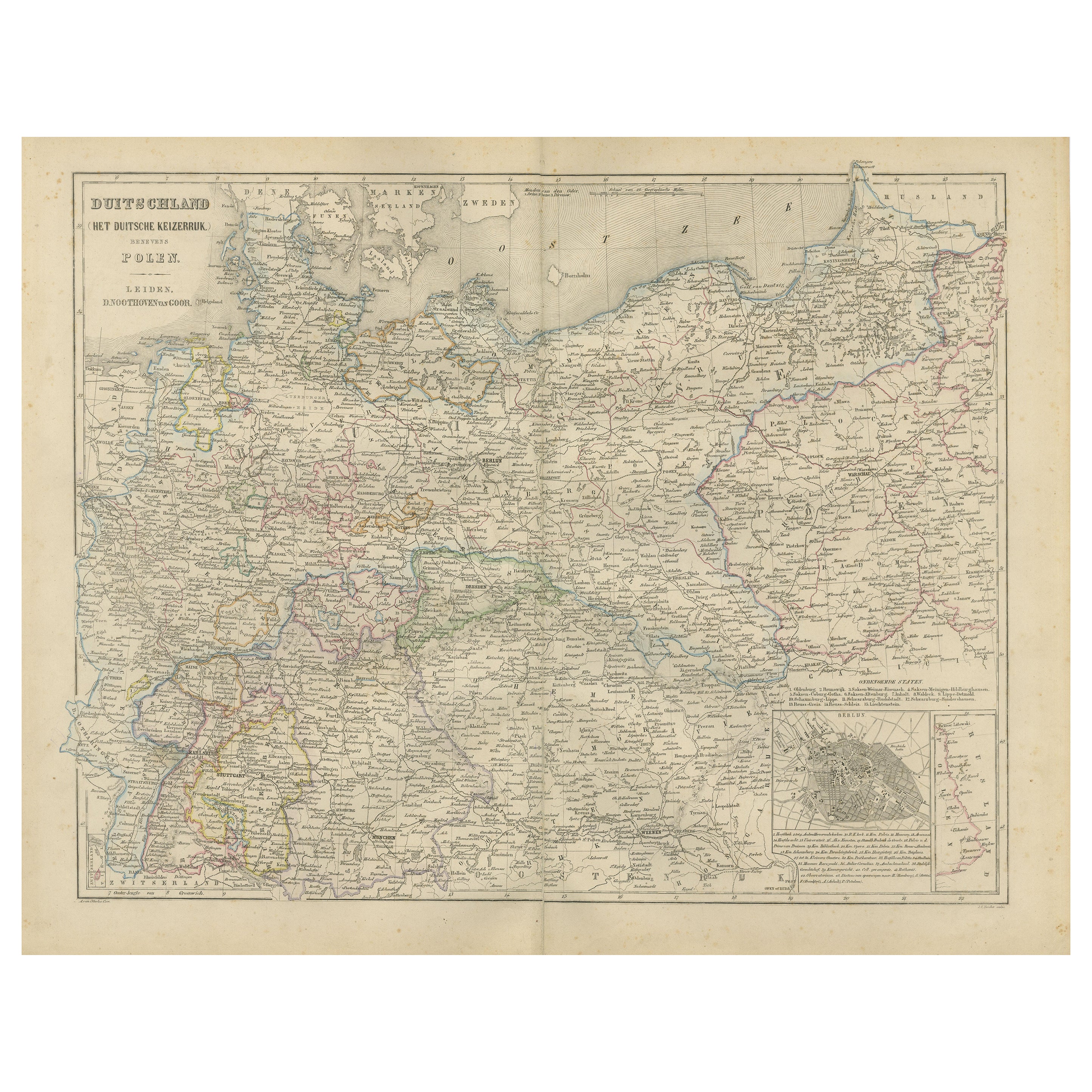
Germany Map with Berlin Inset – Het Duitsche Keizerrijk, Nieuwe Hand-Atlas 1876
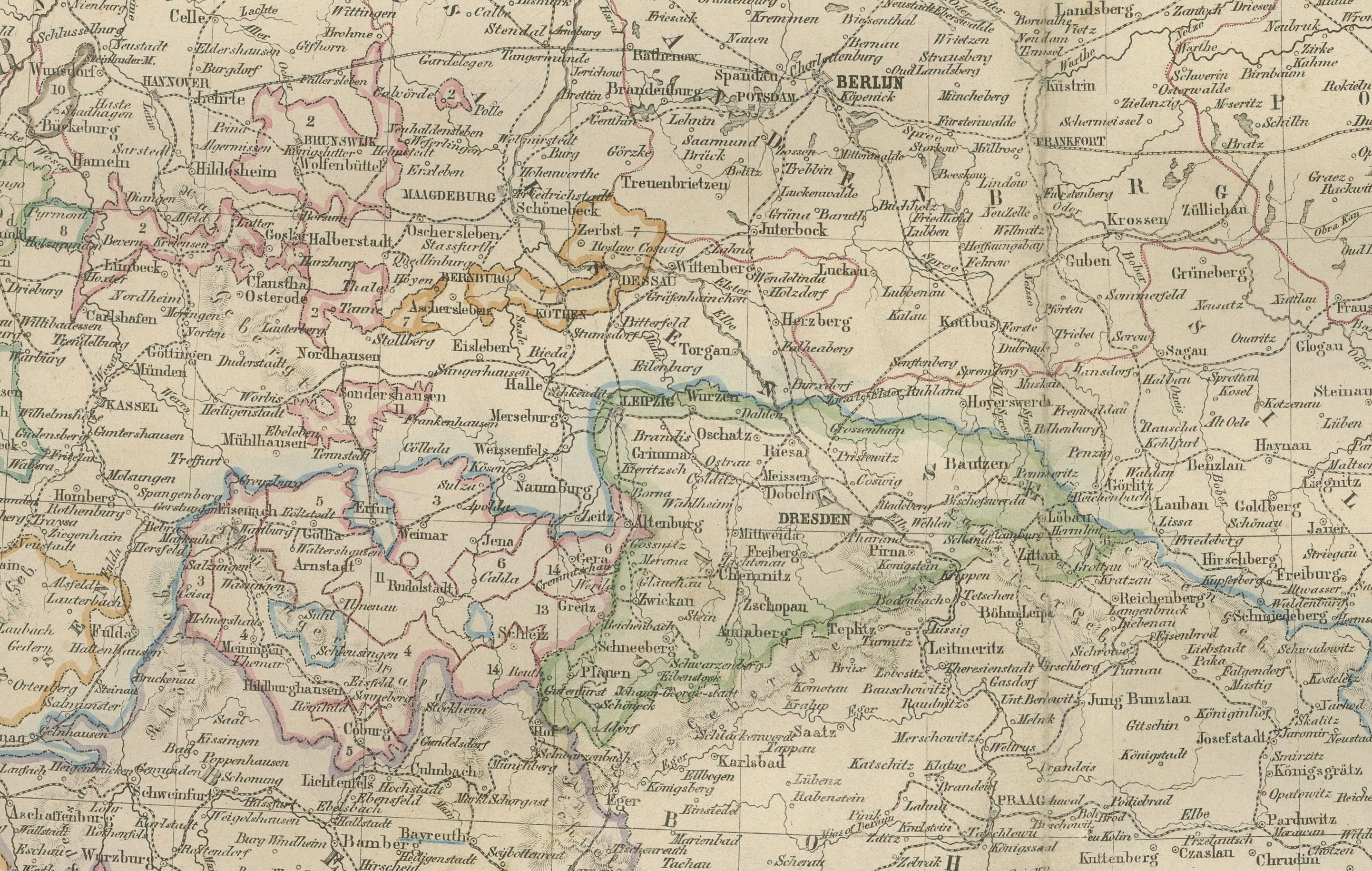
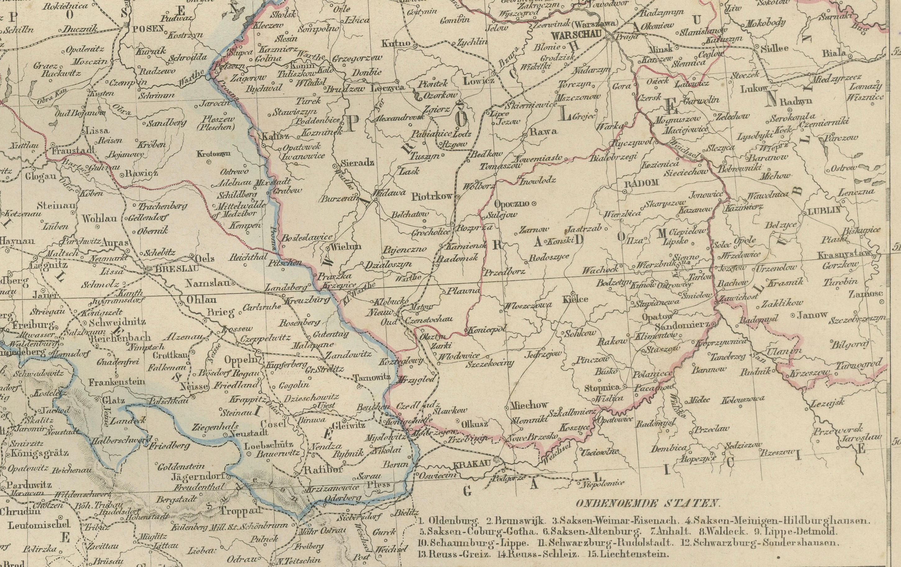
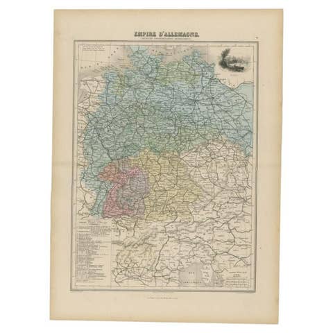
This detailed 19th-century map of Germany, titled “Deutschland (Het Duitsche Keizerrijk),” was published in 1876 in the Nieuwe Hand-Atlas der Aarde in haren Tegenwoordigen Toestand by M. Frijlink, revised by A. van Otterloo, and produced by D. Noothoven van Goor in Leiden. It presents the German Empire shortly after the unification of 1871, offering a precise and attractive view of the newly consolidated nation in the early years of the Kaiserreich under Wilhelm I.
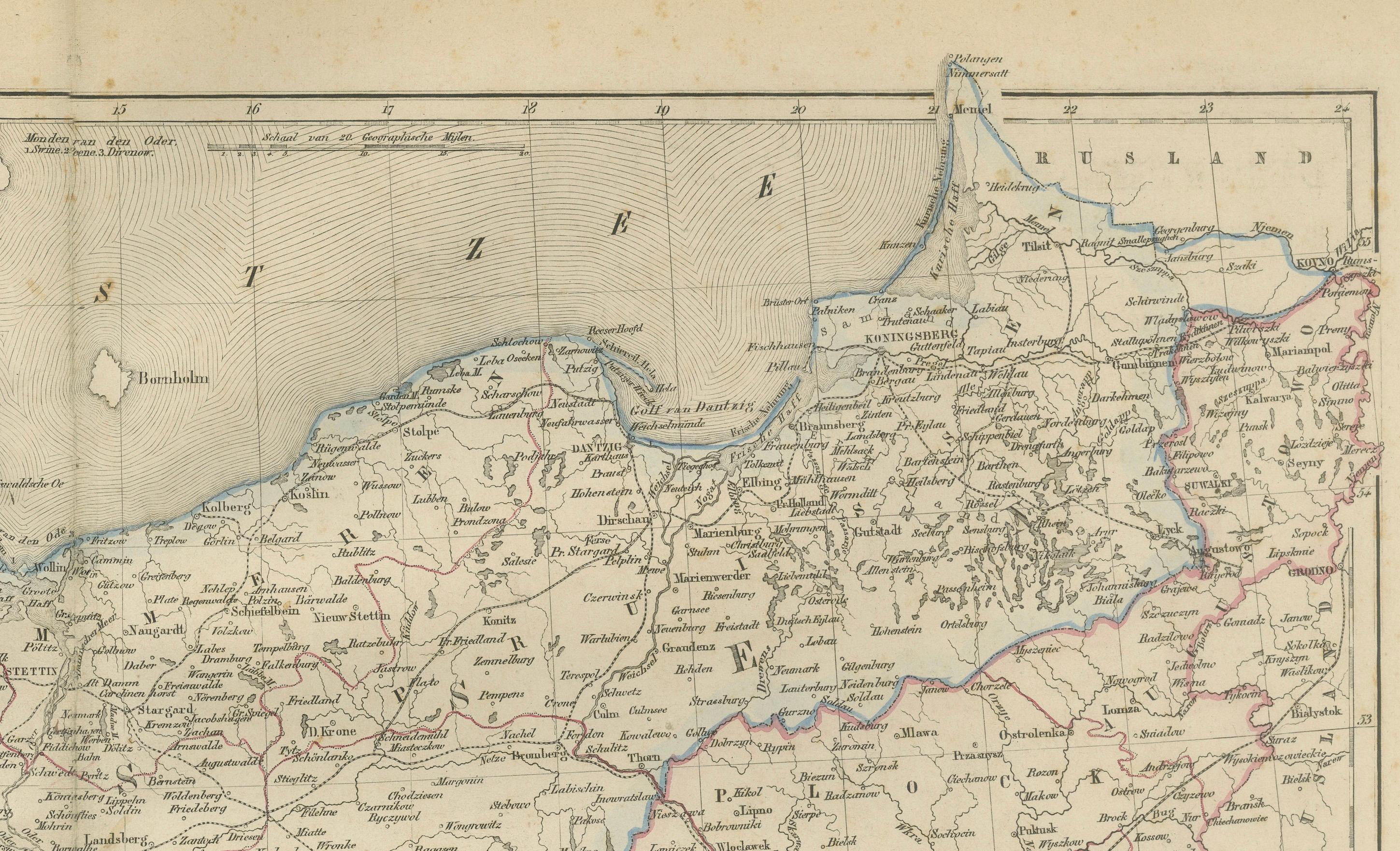
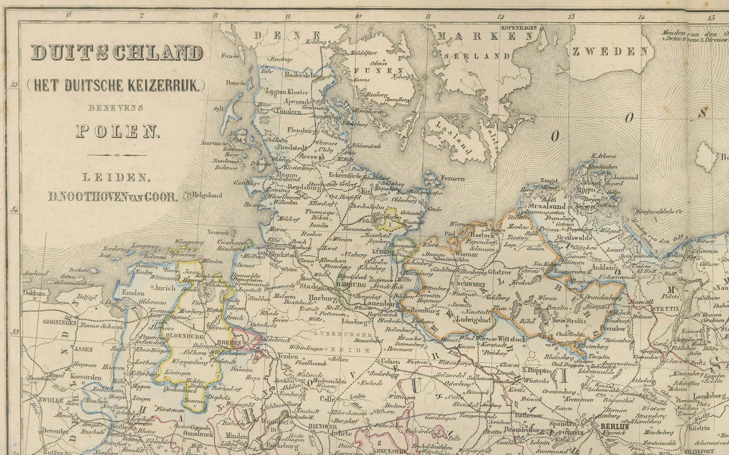
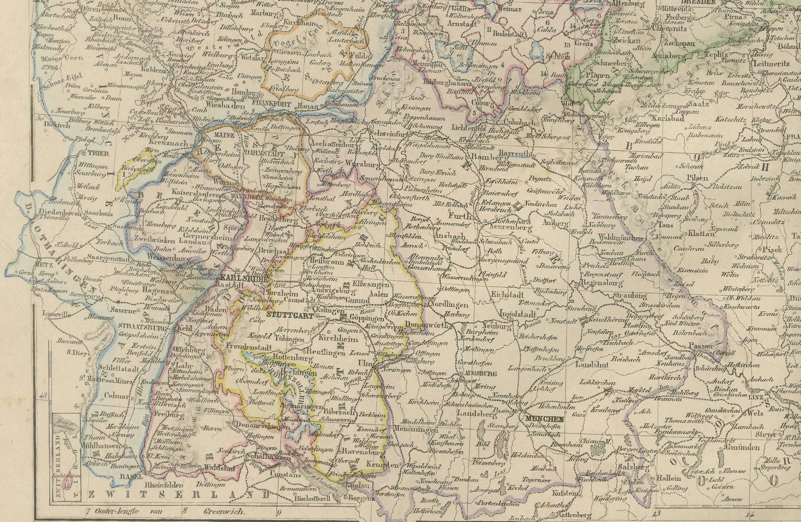
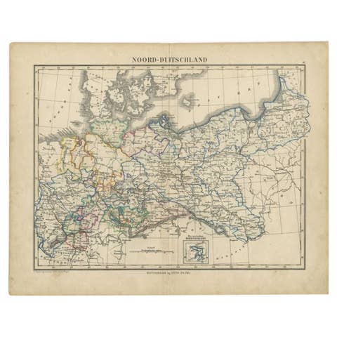
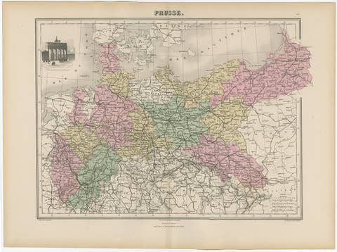
The map covers all major German states and provinces of the period, including Prussia, Bavaria, Saxony, Württemberg, Baden, Hesse, Mecklenburg, and the Hanseatic cities. Political boundaries are hand-colored in soft pastel tones, while rivers, railways, canals, and principal roads are meticulously engraved. Major cities such as Berlin, Hamburg, Munich, Dresden, Stuttgart, Cologne, Frankfurt, Bremen, Leipzig, and Königsberg are clearly marked, along with hundreds of smaller towns that illustrate the dense settlement pattern of Central Europe.
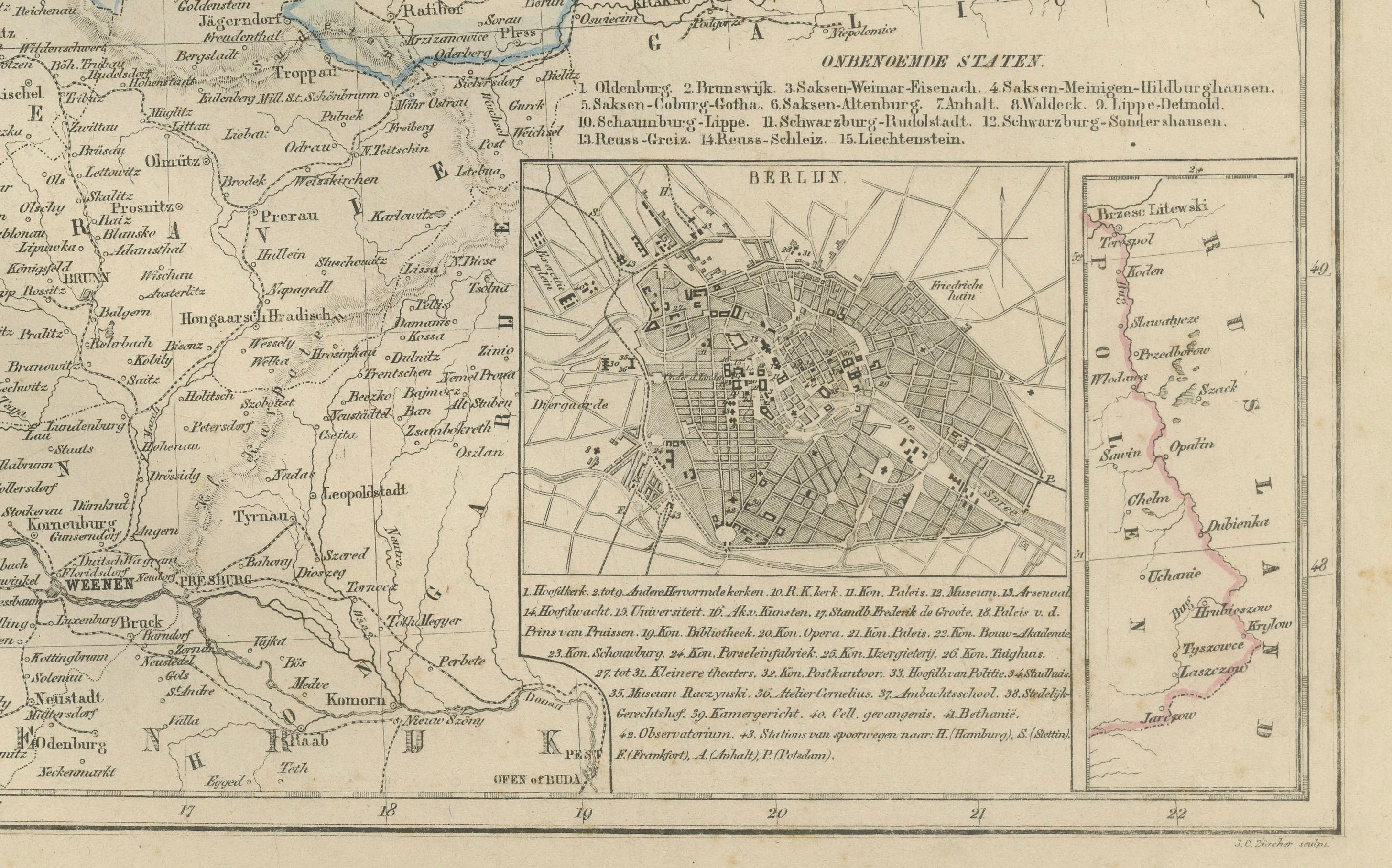
One of the most engaging elements of this map is the detailed inset of Berlin located in the lower right corner. This inset shows the rapidly growing imperial capital at the height of its 19th-century expansion, including major boulevards, fortifications, and emerging railway lines. The presence of this inset highlights Berlin’s increasing importance as both the political and industrial heart of the German Empire.
This map also illustrates the broader geographical context of the region, showing neighboring territories such as Denmark, the Netherlands, Belgium, France, Switzerland, Austria-Hungary, Poland, and the Baltic regions along the eastern border. The typography, fine linework, and careful layout reflect the high standards of Dutch lithographic craftsmanship during this period.
The map originates from one of the finest Dutch educational atlases of the late 19th century. The Nieuwe Hand-Atlas was prized for its accuracy, clarity, and beautifully executed printing, making it an essential reference for schools and institutions across the Netherlands.
Condition Report: Good condition with light toning and minor foxing around the outer margins. Original center fold as issued. The printed image remains sharp and clean, with hand-coloring well preserved. No tears, losses, or repairs.
Framing Tips: This map frames beautifully with a warm ivory or light grey mat and a slim walnut or black wooden frame. Because of its high level of detail, a slightly larger mat margin enhances readability and visual balance. Ideal for study rooms, offices, libraries, or interiors emphasizing European history and cartography.
---
KeywordsGermany, Deutschland, Duitsche Keizerrijk, German Empire, Prussia, Bavaria, Saxony, Württemberg, Baden, Hesse, Mecklenburg, Hamburg, Berlin, Munich, Dresden, Stuttgart, Cologne, Frankfurt, Bremen, Leipzig, Königsberg, Danzig, Lübeck, Hanover, Essen, Düsseldorf, Dortmund, Magdeburg, Erfurt, Kassel, Freiburg, Karlsruhe, Augsburg, Nuremberg, Regensburg, Strasbourg (border), Alsace, Lorraine, Baltic Sea, North Sea, Berlin inset, 19th century map, 1876 Germany map, German unification, Kaiserreich, Central Europe.