About this sheet
Antique Two-Sheet Map of the Lesser Sunda Islands by Dornseiffen, Dutch East Indies, 1884
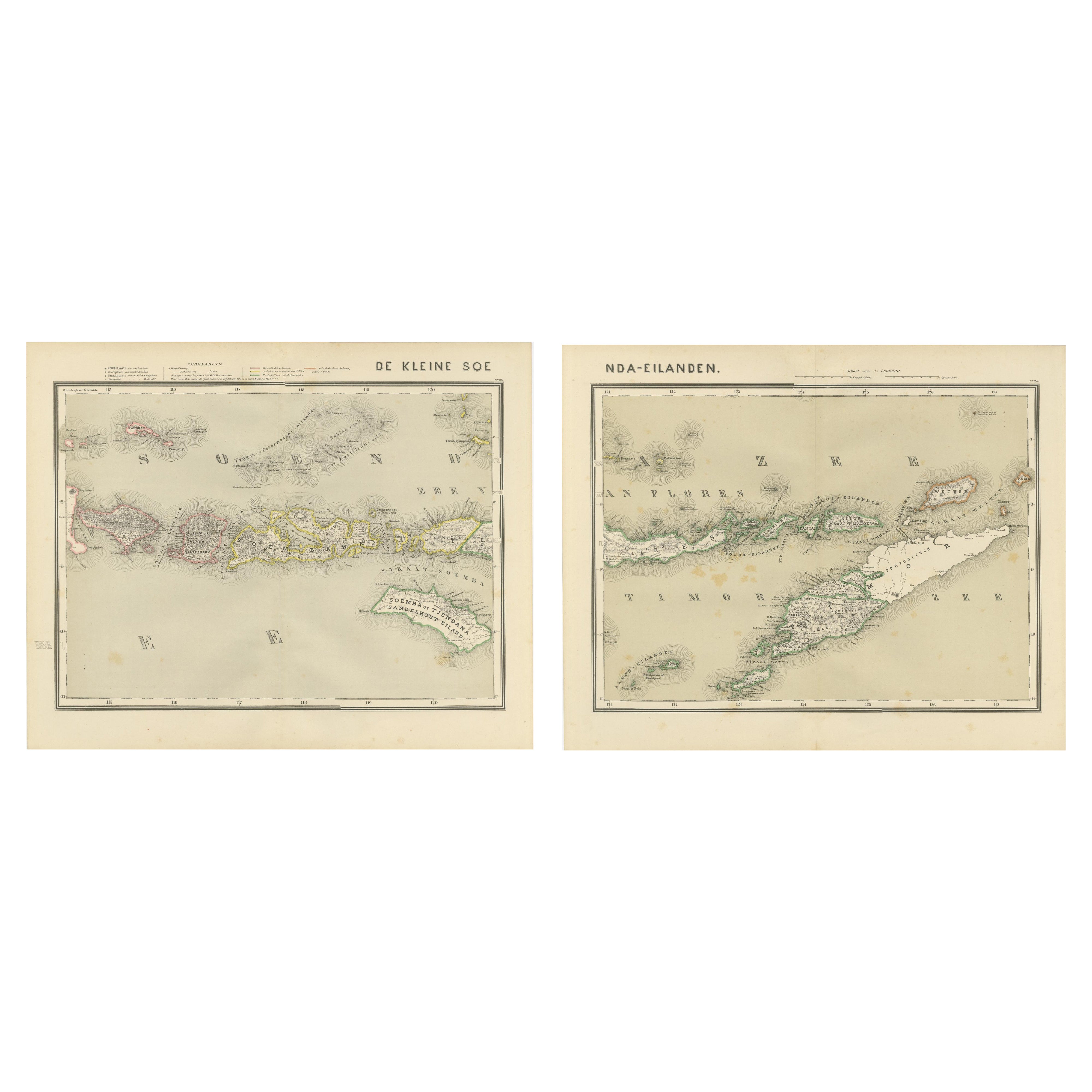
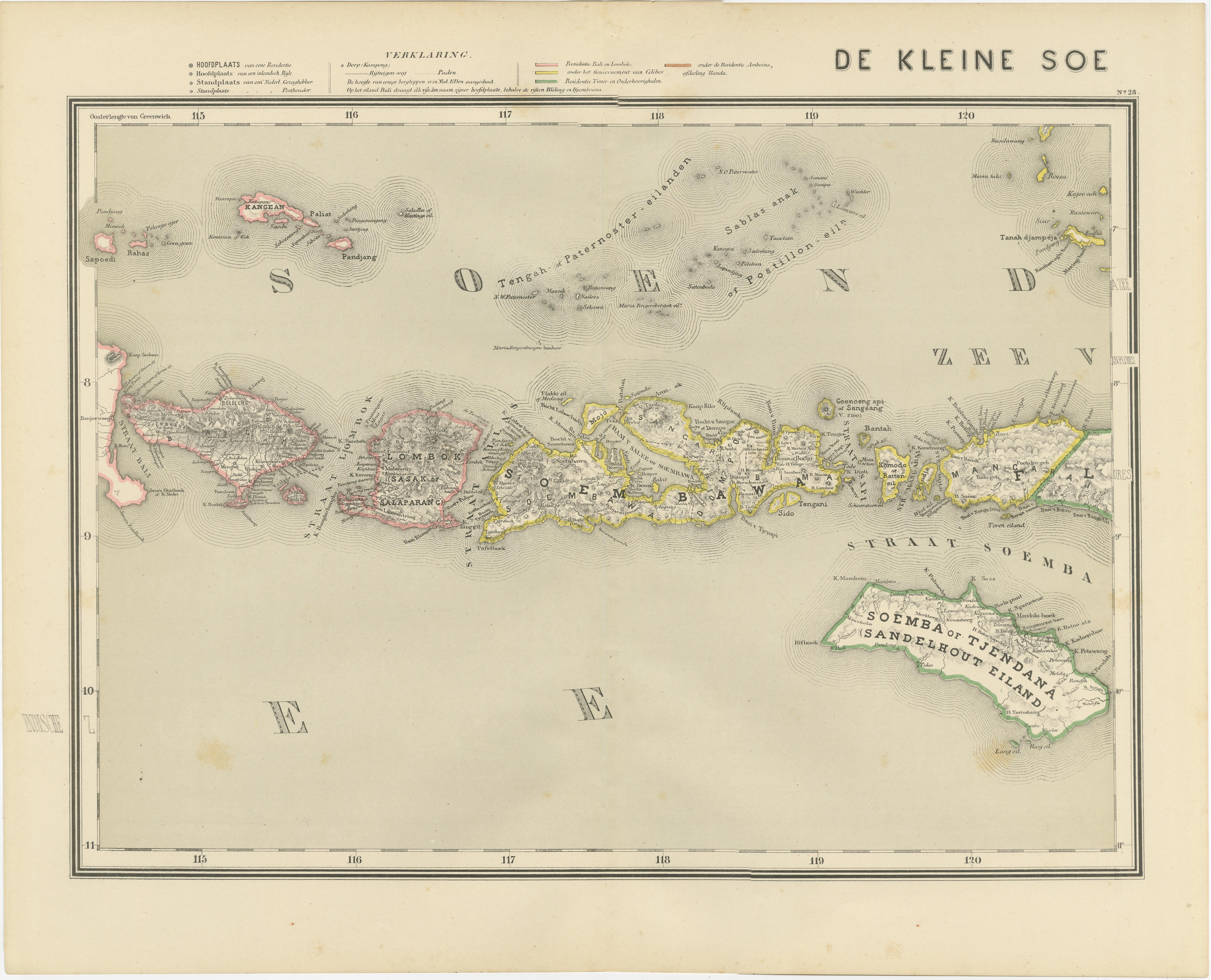
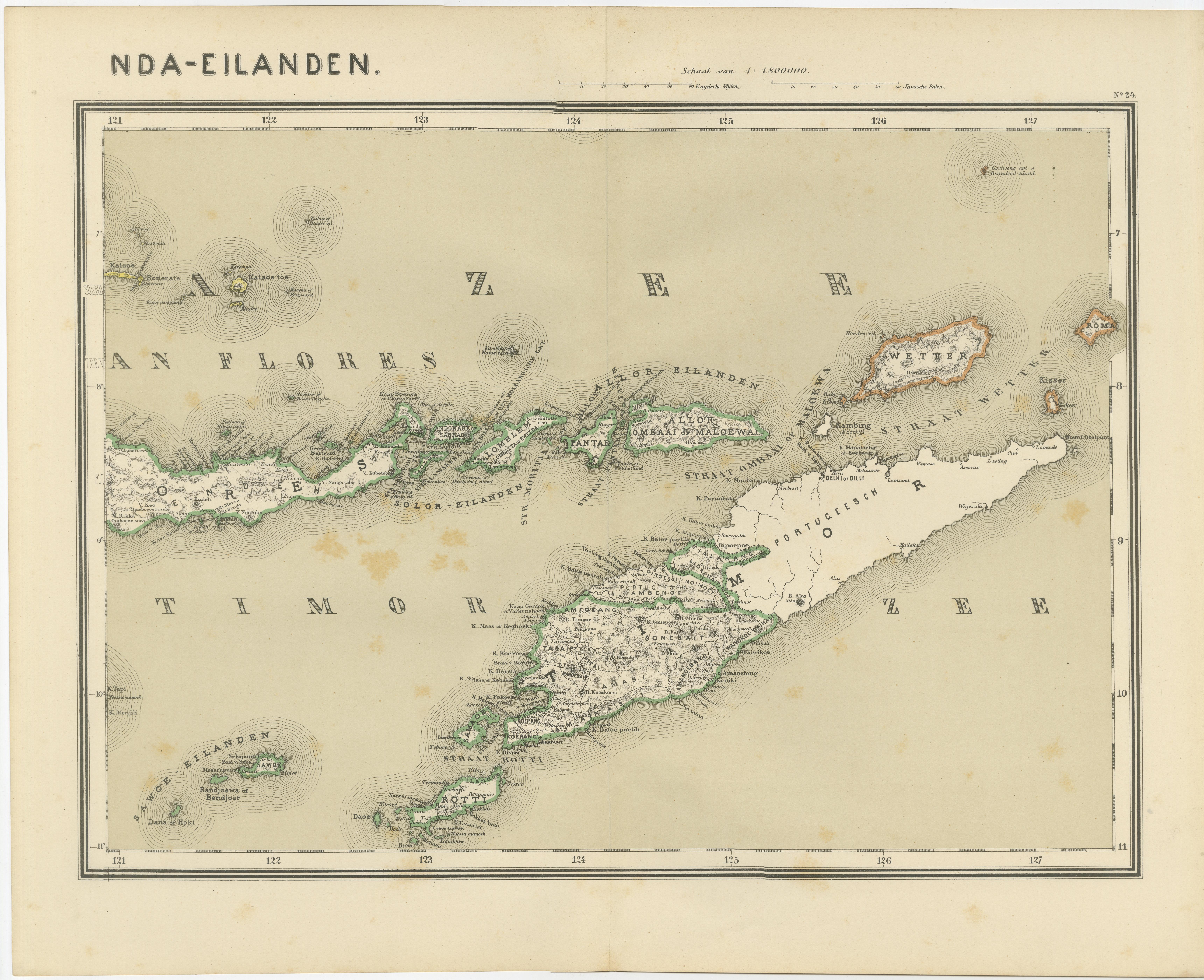
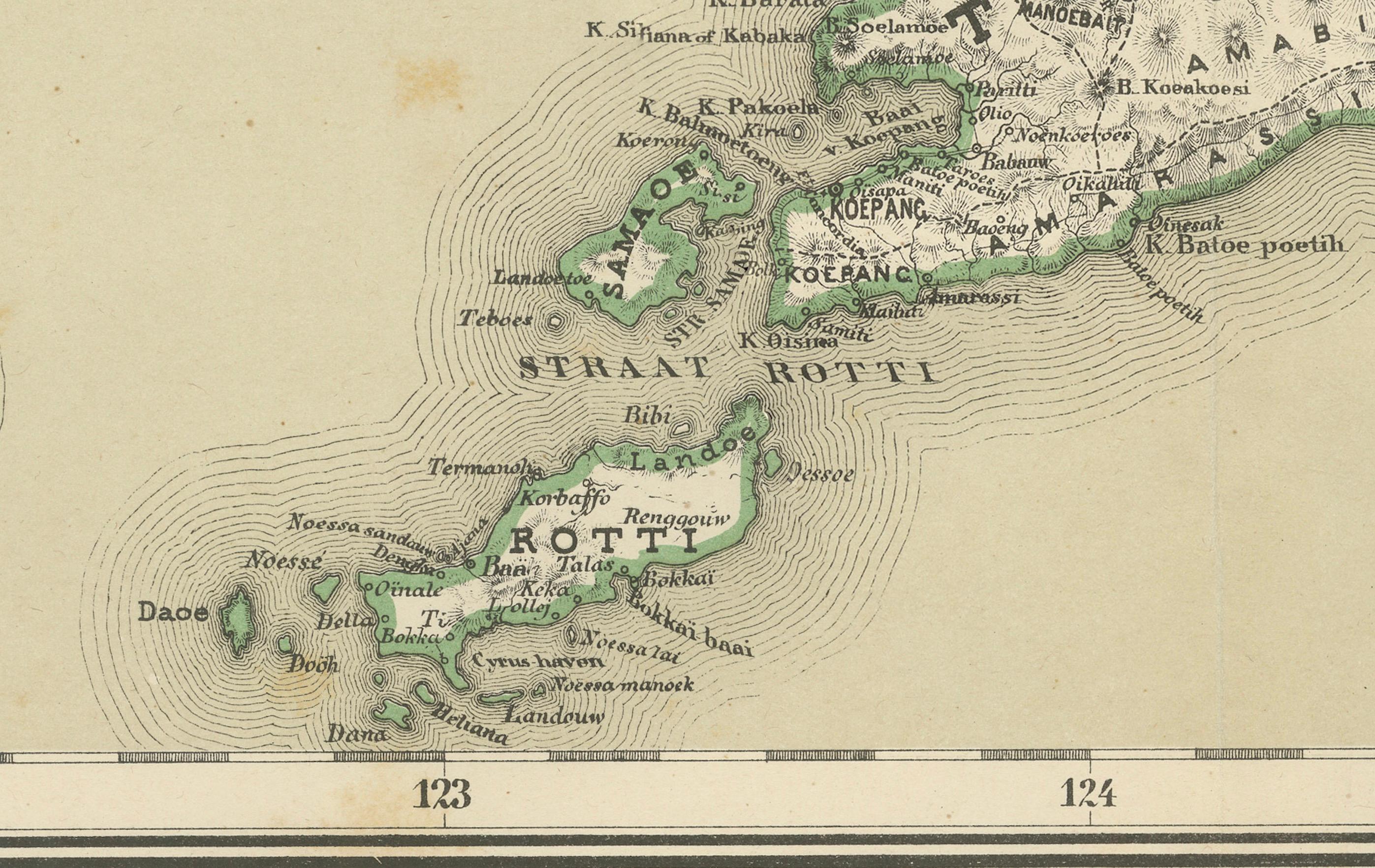
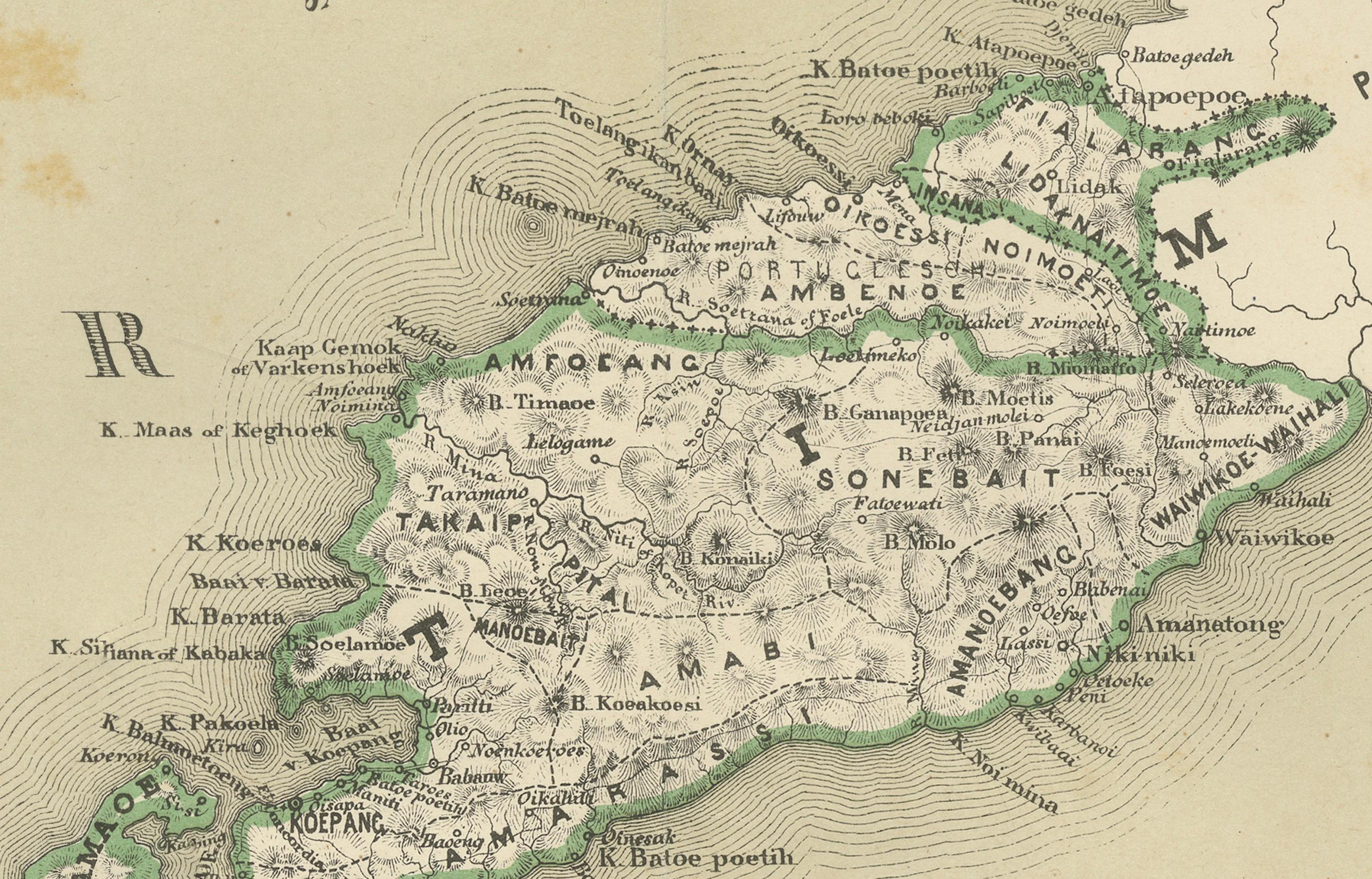
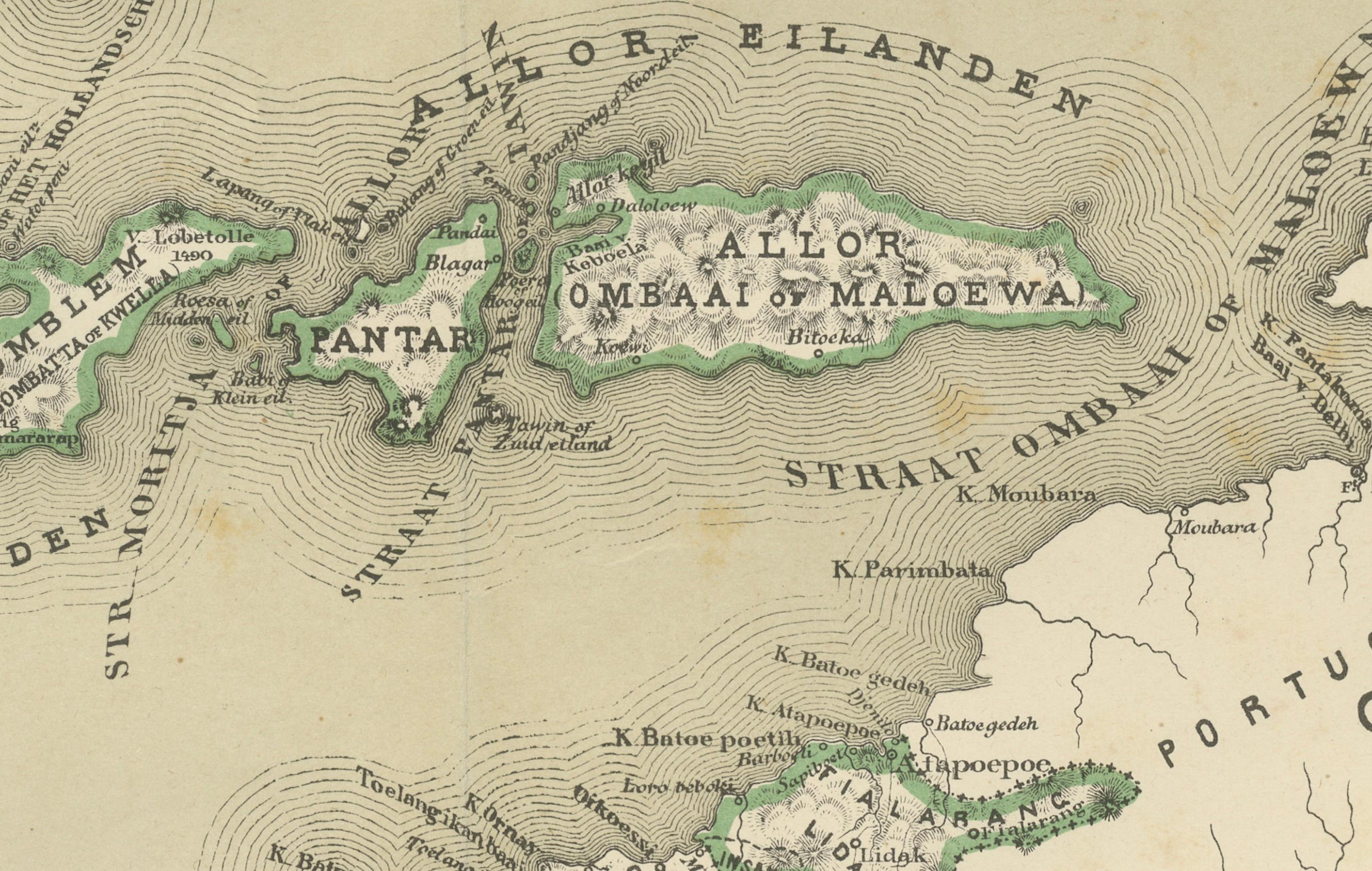
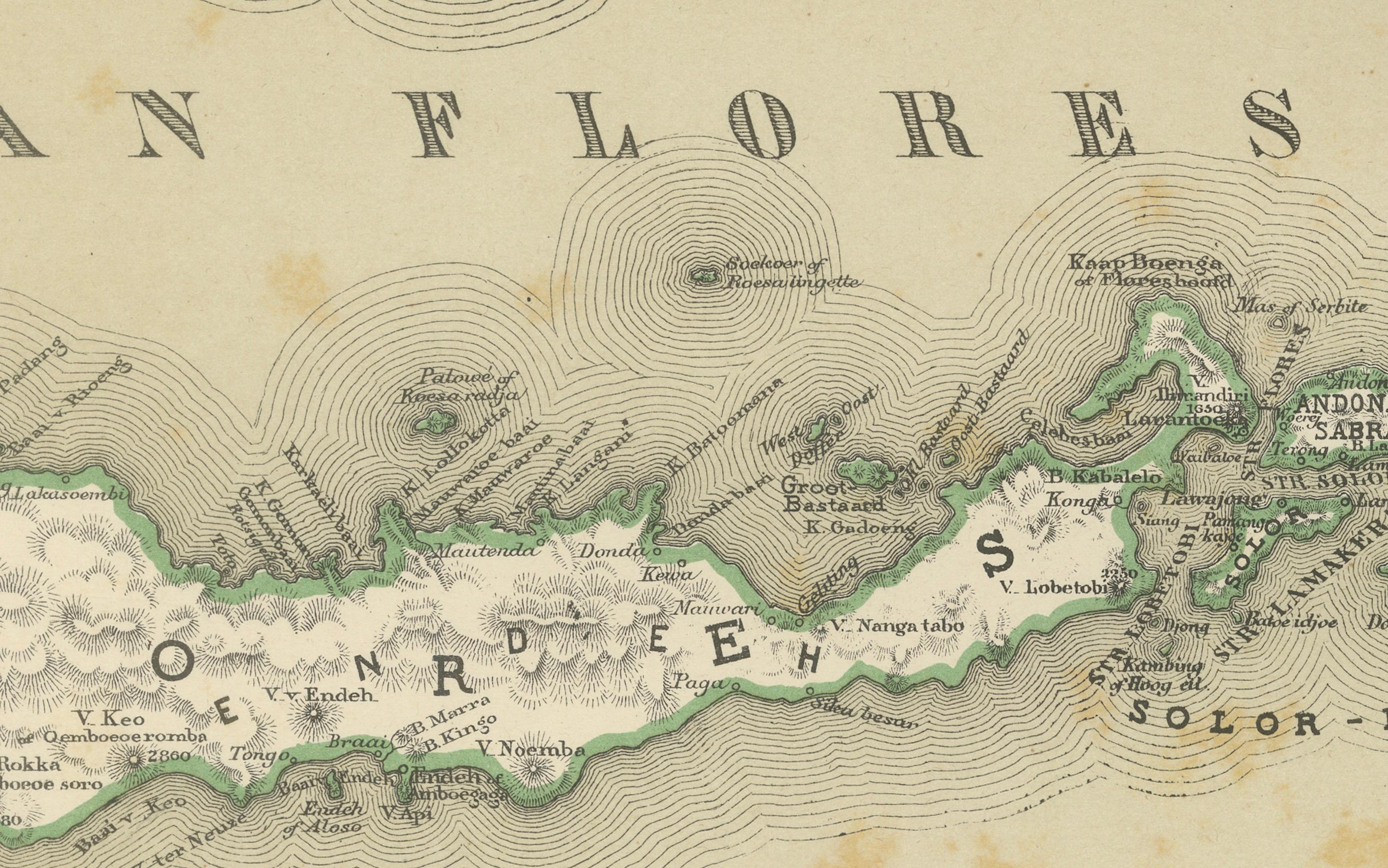
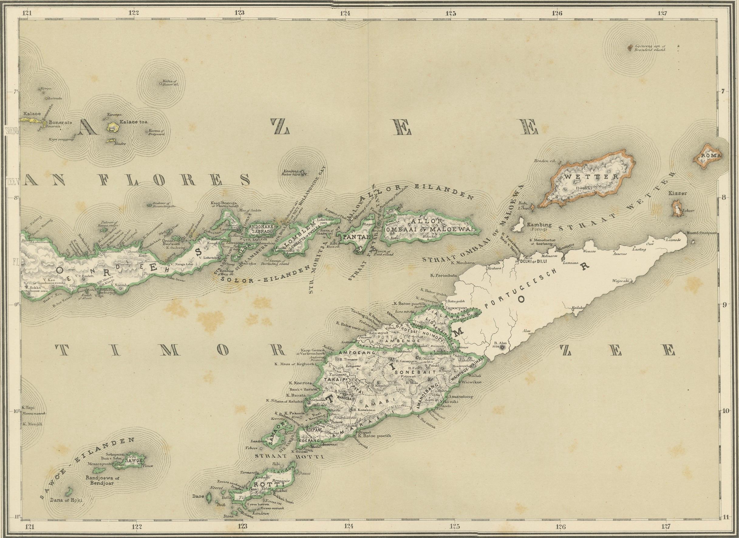
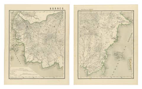
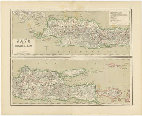
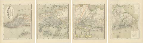
This impressive two-sheet antique map set depicts the Lesser Sunda Islands (De Kleine Soenda-Eilanden), covering Lombok, Sumbawa, Flores, Sumba, Timor, and surrounding island groups in the eastern Dutch East Indies. Issued as part of the official late-19th-century colonial survey series, this authoritative cartographic work was designed by J. Dornseiffen and published in Amsterdam by Seyffardt’s Boekhandel in 1884. Together, the two sheets form a complete and highly precise scientific representation of this strategically vital island chain between Java, the Moluccas, and Australia.
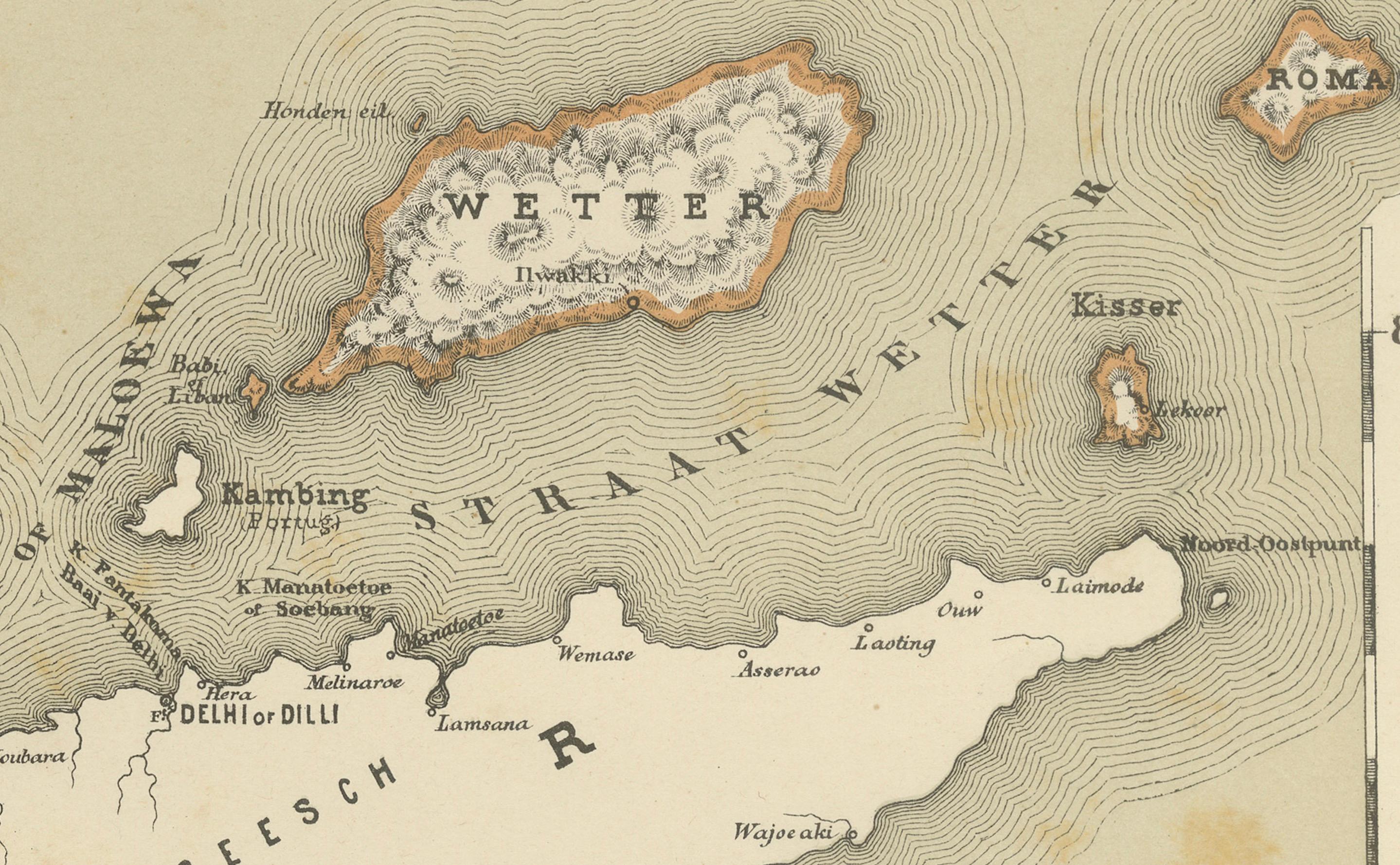
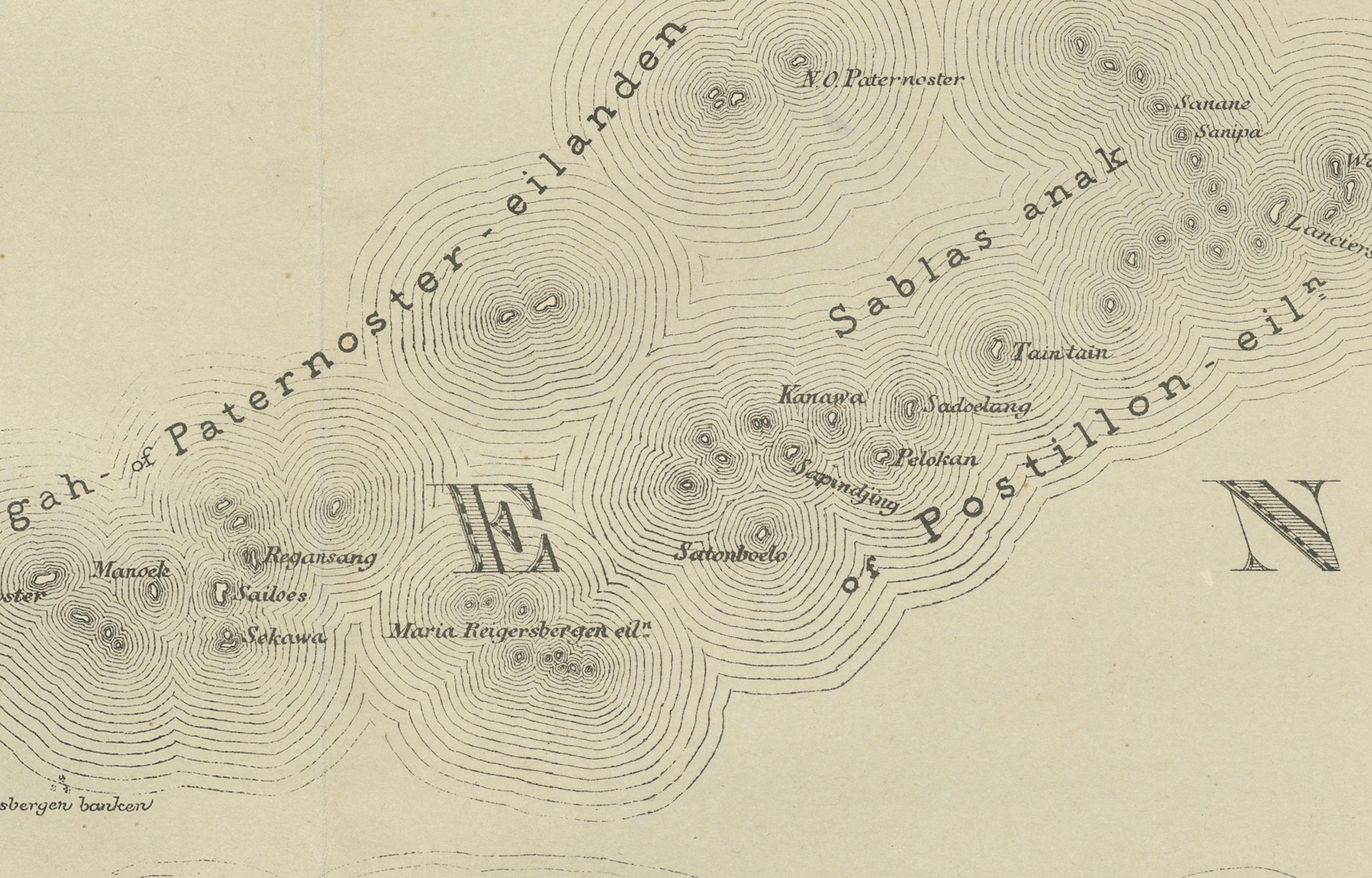
The left sheet shows Lombok, Sumbawa, Flores, and Sumba with exceptional coastal precision, while the right sheet continues eastward with Timor and adjacent islands extending into the Timor Sea. Mountain systems are rendered in shaded relief, coastlines are sharply engraved, and countless rivers, settlements, anchorages, and inland routes reflect the depth of Dutch administrative surveying by the late 1800s. Original hand coloring clearly distinguishes colonial divisions and coastal outlines, enhancing both geographic clarity and decorative appeal.
Historically, the Lesser Sunda Islands formed a crucial transitional zone between the Indonesian core islands and the outer Pacific frontier. They played an important role in Dutch maritime control, regional trade networks, missionary activity, and military logistics. By 1884, when Dornseiffen produced these maps, Dutch authority had become fully territorial and bureaucratic, replacing earlier VOC-era coastal dominance. This two-sheet set perfectly documents that phase of modern colonial governance through precise inland mapping and fixed administrative borders.
Visually, the paired sheets create a beautifully balanced wide-format wall presentation. The restrained pastel hand coloring, fine engraving, expansive sea spaces, and rhythmic progression of islands across both sheets give the set strong visual harmony. Displayed together, the maps function both as serious historical documents and as refined decorative works for libraries, studies, boardrooms, and curated contemporary interiors.
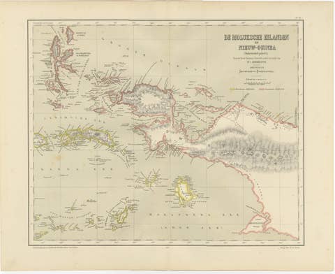
Complete two-sheet colonial map sets of the Lesser Sunda Islands in such condition are increasingly scarce on the market. This set is especially desirable for collectors of Indonesian cartography, Dutch East Indies history, maritime exploration, and 19th-century scientific mapping. It also pairs seamlessly with Dornseiffen’s companion sheets of Celebes, the Moluccas, and New Guinea for a cohesive high-level wall installation of the eastern archipelago.
Condition report: Good antique condition. Light overall age toning consistent with 19th-century paper. Scattered foxing visible, mainly in the open sea areas and margins. Clear plate impressions visible on both sheets. Full margins preserved. No major tears or losses observed.
Framing tips: These sheets are ideally framed as a matched horizontal diptych with wide off-white or warm ivory mats and identical dark walnut, black lacquer, or antique gilt frames. Museum glass is recommended for UV protection and optimal presentation of the hand coloring. Ideal placement above a sofa, long desk, or credenza.
Technique: Hand-colored lithographs
Maker: J. Dornseiffen, Amsterdam, 1884 (published by Seyffardt’s Boekhandel)