About this sheet
Antique Dutch Map of the Moluccas & New Guinea by Dornseiffen 1884 Indonesia
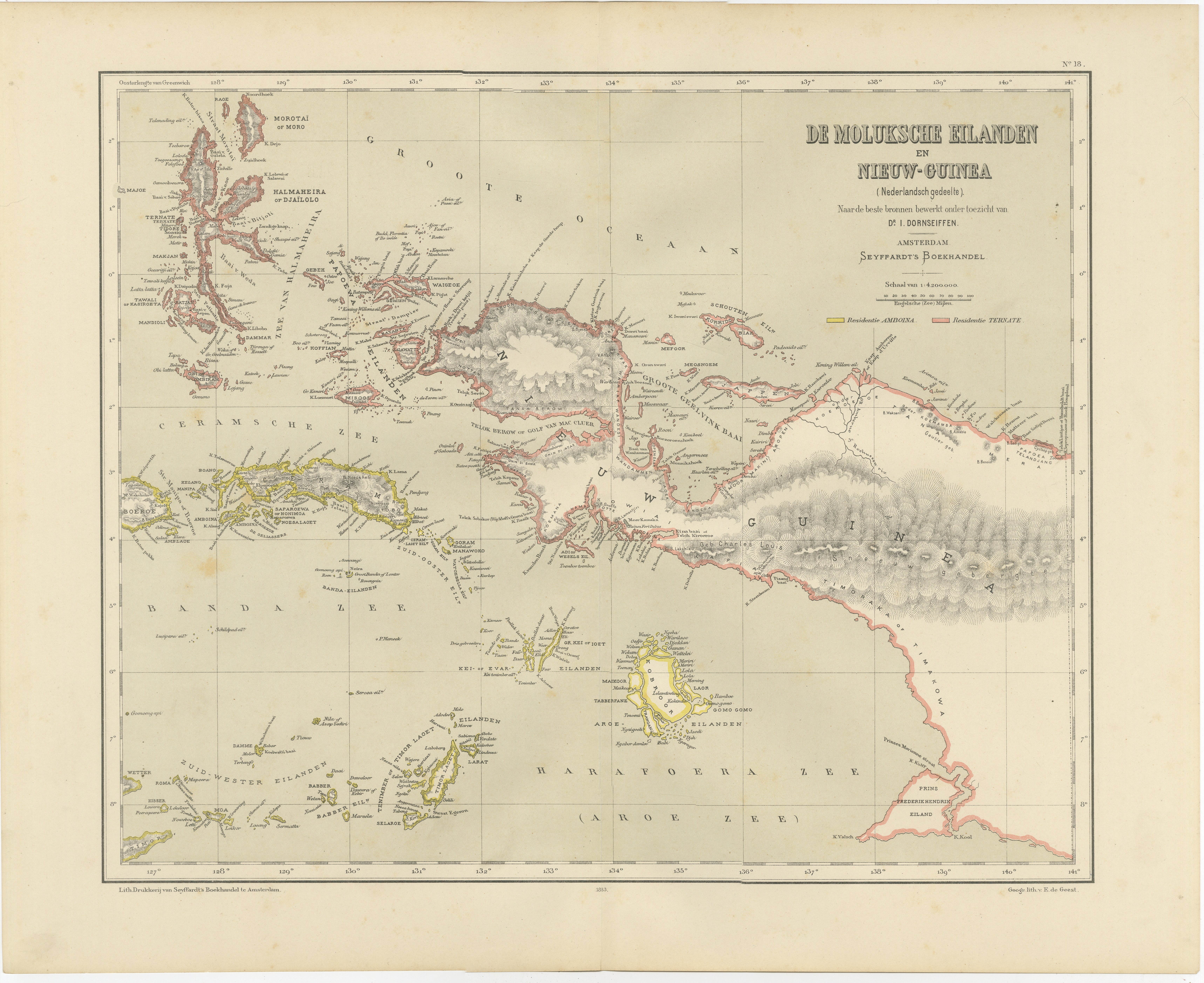
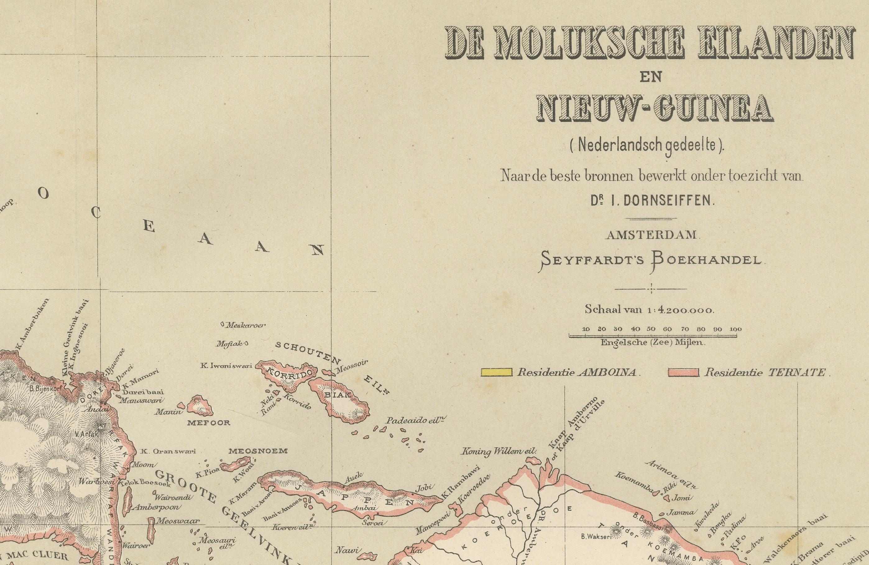
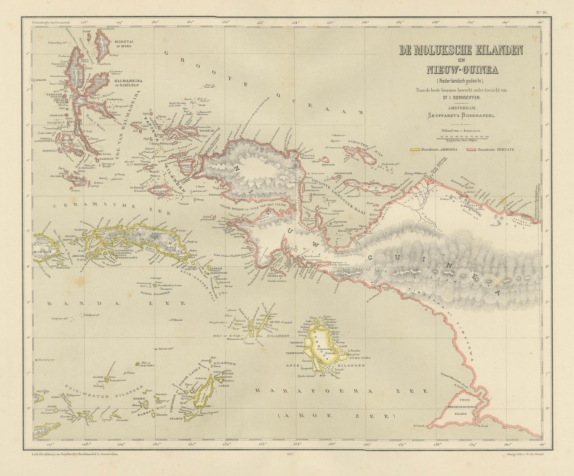
This decorative antique map depicts the Moluccan Islands (Spice Islands) and the western portion of New Guinea, focusing on the Dutch-controlled territories of the eastern Indonesian archipelago. Titled “De Moluksche Eilanden en Nieuw-Guinea (Nederlandsche gedeelte),” this authoritative colonial map was designed by J. Dornseiffen and published in Amsterdam by Seyffardt’s Boekhandel in 1884. It represents one of the most accurate late-19th-century Dutch cartographic surveys of this strategically vital region.
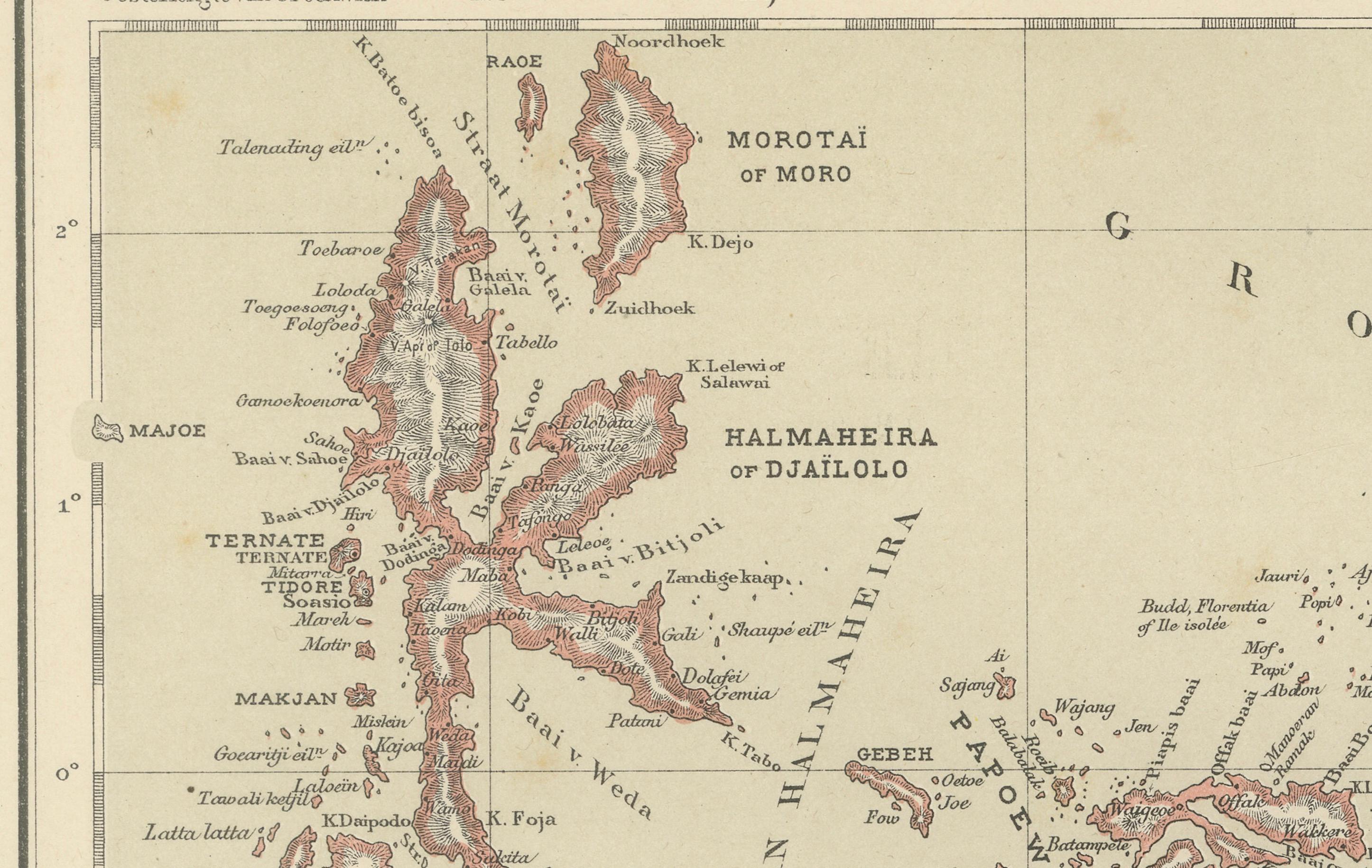
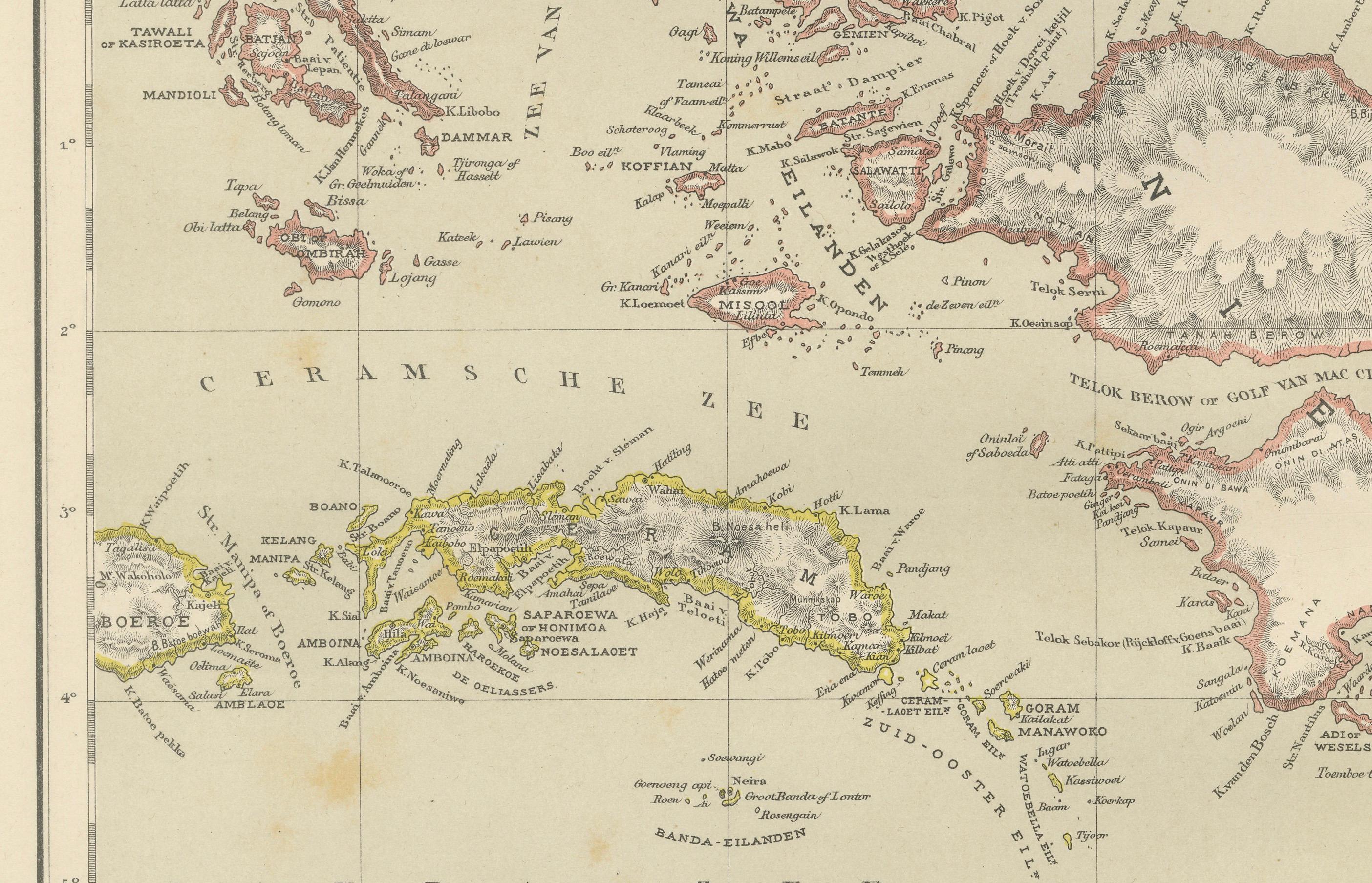
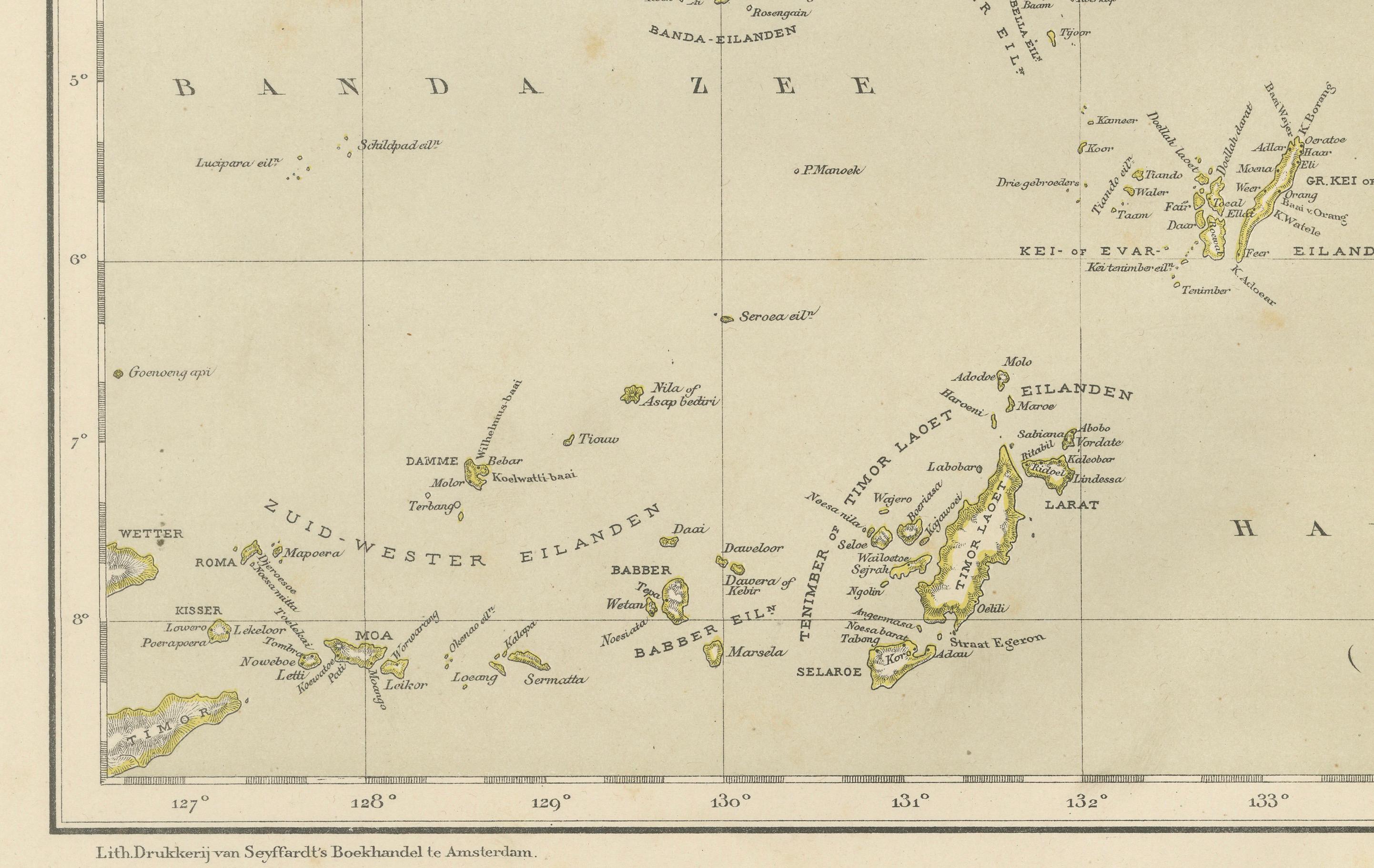
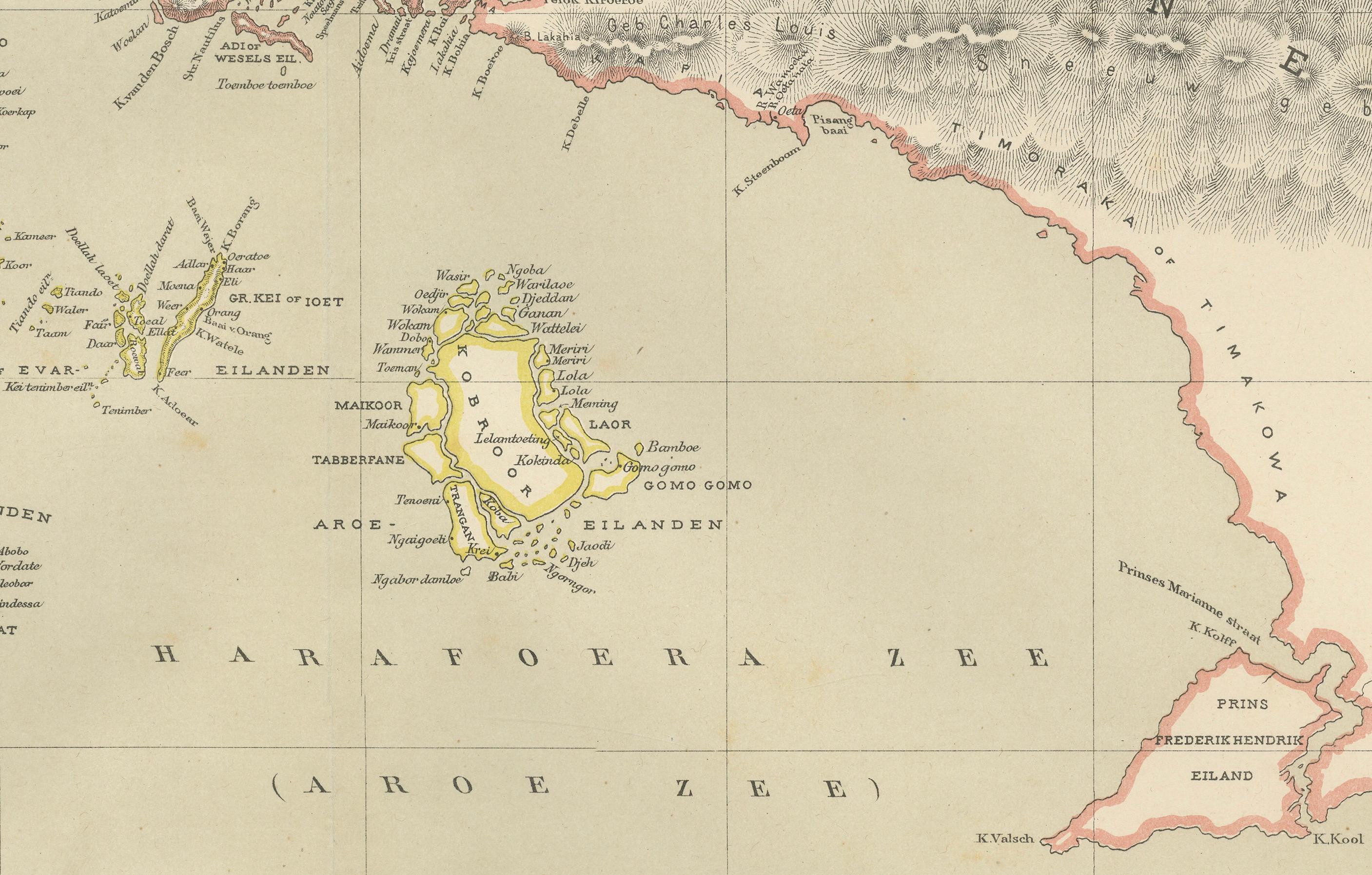
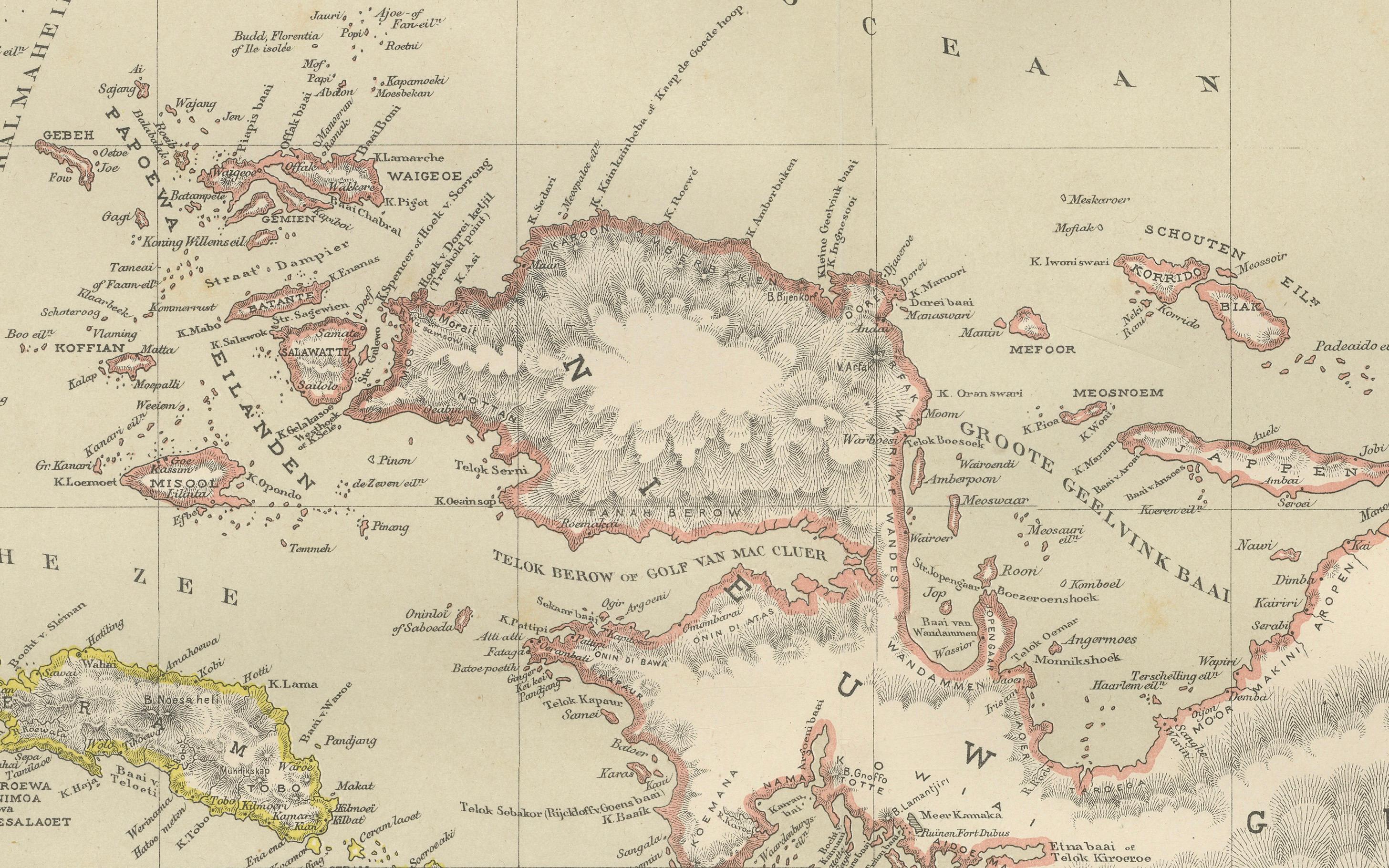
The map shows in exceptional detail the complex island chains of Halmahera, Ceram, Buru, Ambon, Ternate, Tidore, Kei, Aru, and the southern and western coastlines of New Guinea. Mountain ranges are rendered in shaded relief, coastlines are crisply engraved, and political divisions are clearly defined through original hand coloring. The surrounding seas—including the Ceram Sea, Banda Sea, and Arafura Sea—frame the islands that once formed the heart of the global spice trade and Dutch maritime power.
Historically, the Moluccas were the economic foundation of the Dutch East India Company’s early empire through their monopoly on cloves, nutmeg, and mace. By the late 19th century, when this map was produced, Dutch governance had shifted toward centralized territorial control, scientific land surveying, and fixed administrative borders. Dornseiffen’s work reflects this modern imperial approach, combining geographic precision with clearly organized colonial divisions. The inclusion of Dutch New Guinea illustrates the continued eastward expansion of Dutch influence into the Pacific sphere.
Visually, the map is exceptionally balanced and highly decorative. The elongated horizontal format, subtle pastel coloring, dense coastal inscriptions, and dramatic mountainous interior of New Guinea create a powerful and elegant composition. It works beautifully as a statement piece in both classic and contemporary interiors, including studies, libraries, boardrooms, or refined living spaces where historical depth and visual authority are desired.
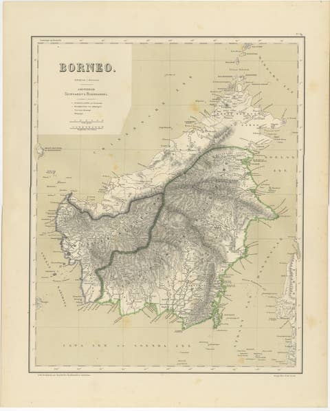
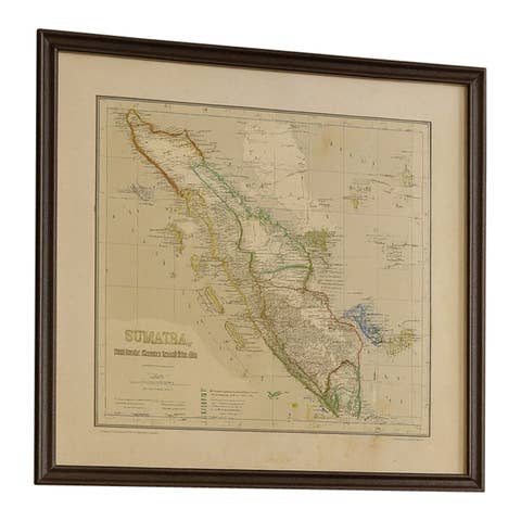
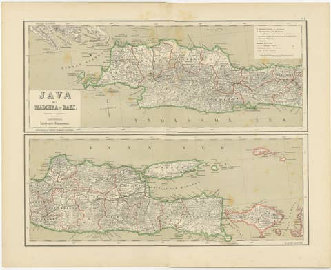
This map is increasingly sought after by collectors of Indonesian history, colonial cartography, maritime exploration, and VOC-related material. It also pairs exceptionally well with maps of Celebes, Java, or the Lesser Sunda Islands for a cohesive multi-map installation of the Dutch East Indies.
Condition report: Good antique condition. Light general toning consistent with age. Scattered foxing visible across the sheet, mainly in the margins. Clear plate impression visible. Margins intact. No major tears or losses observed.
Framing tips: This horizontal-format map displays beautifully with a wide off-white or warm ivory mat and a dark walnut, black lacquer, or antique gilt frame. Museum glass is recommended to protect the original hand coloring and enhance contrast without glare. Ideal placement above a credenza, desk, or sofa.
Technique: Hand-colored lithograph
Maker: J. Dornseiffen, Amsterdam, 1884 (published by Seyffardt’s Boekhandel)