About this sheet
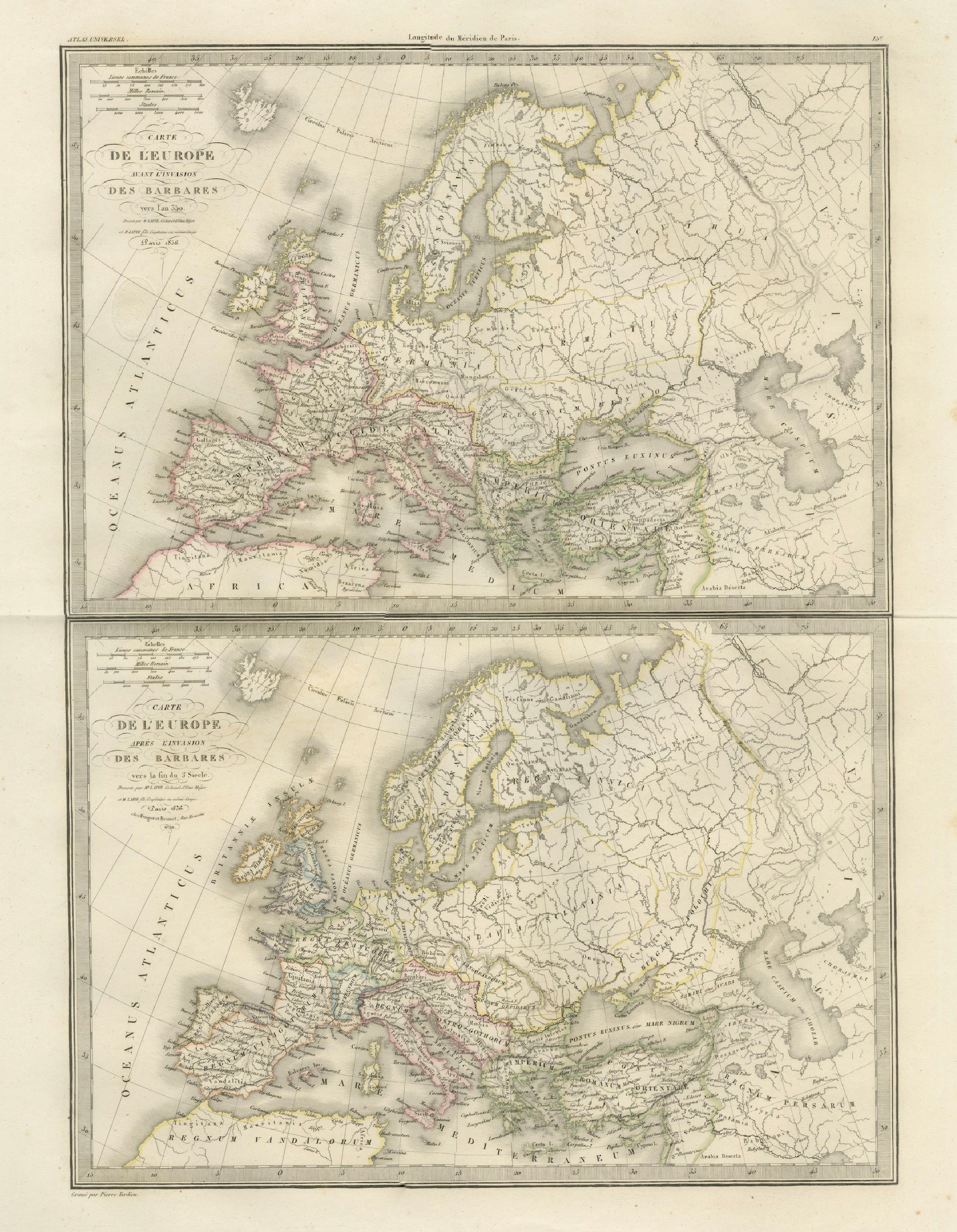

Antique Double Map of Europe, Barbarian Invasions – Lapie, Paris, 1838
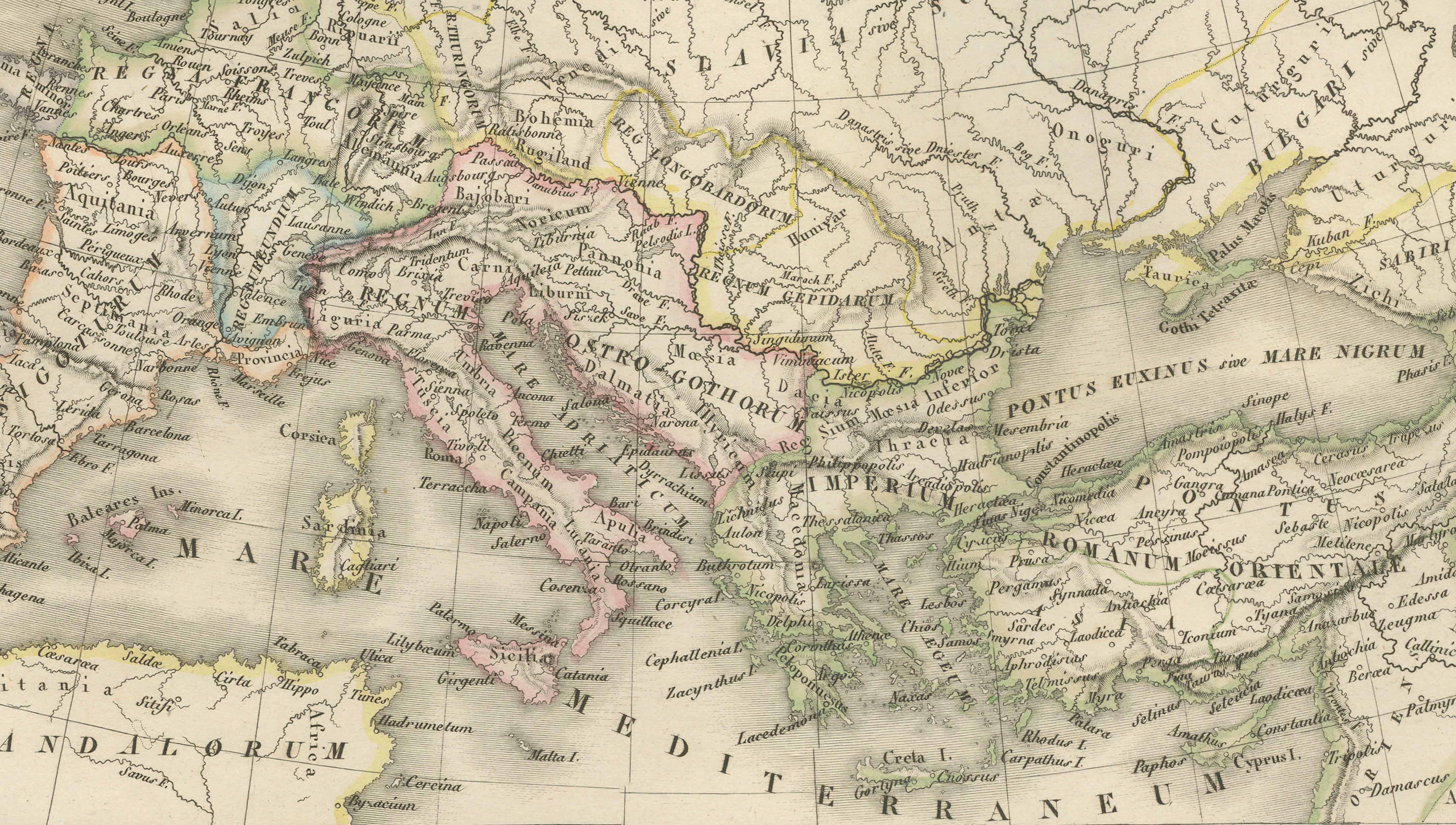
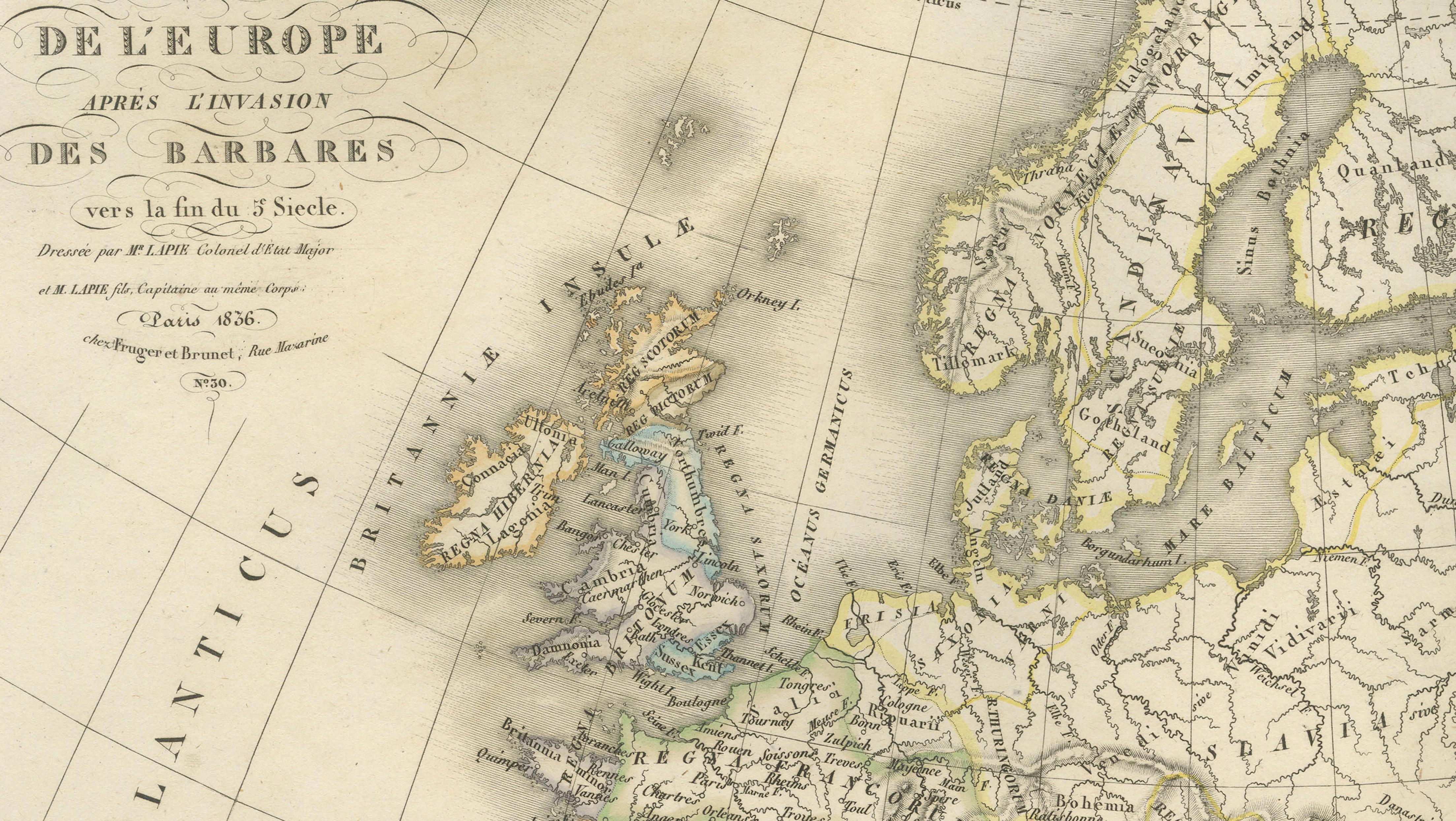
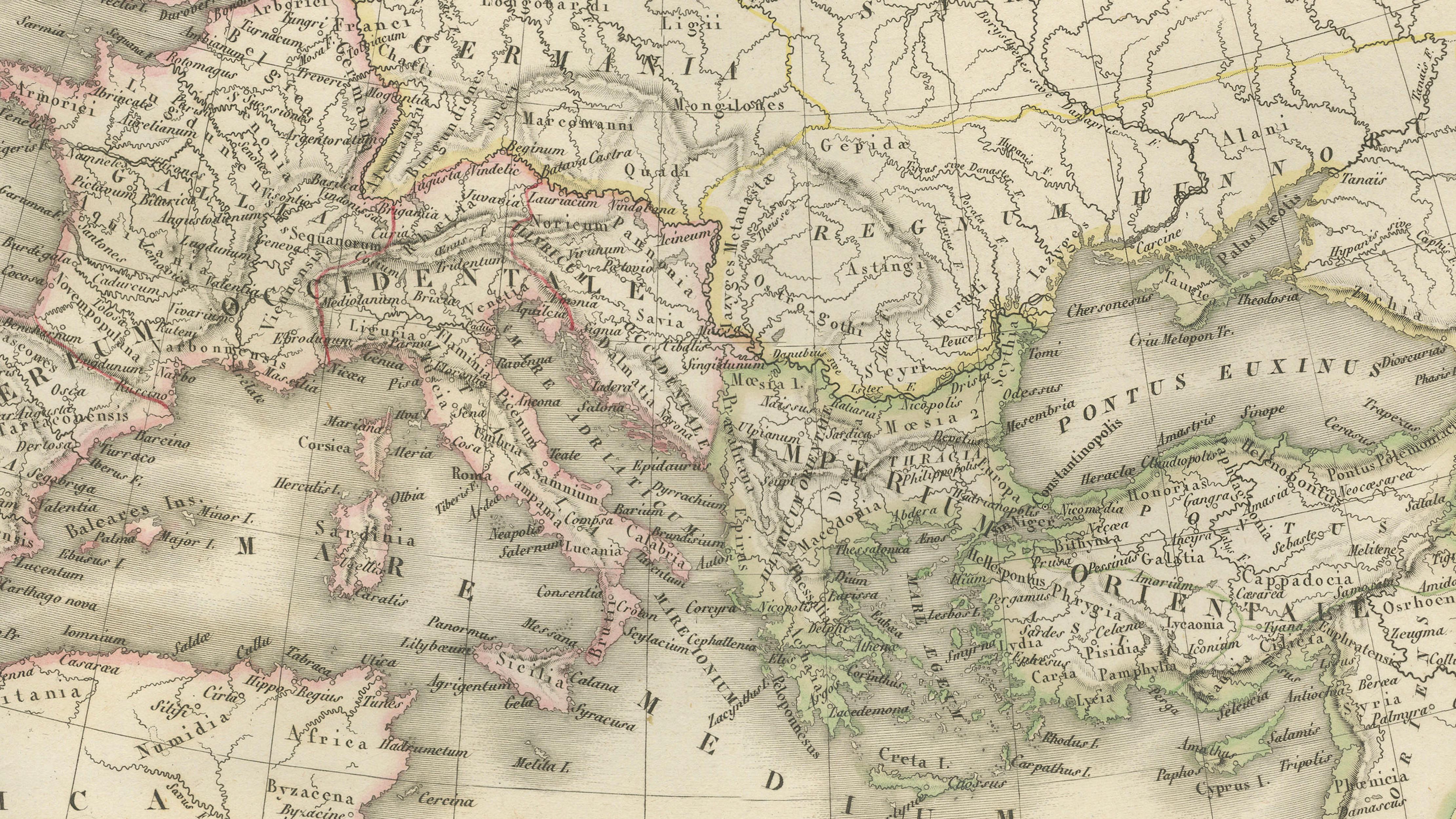
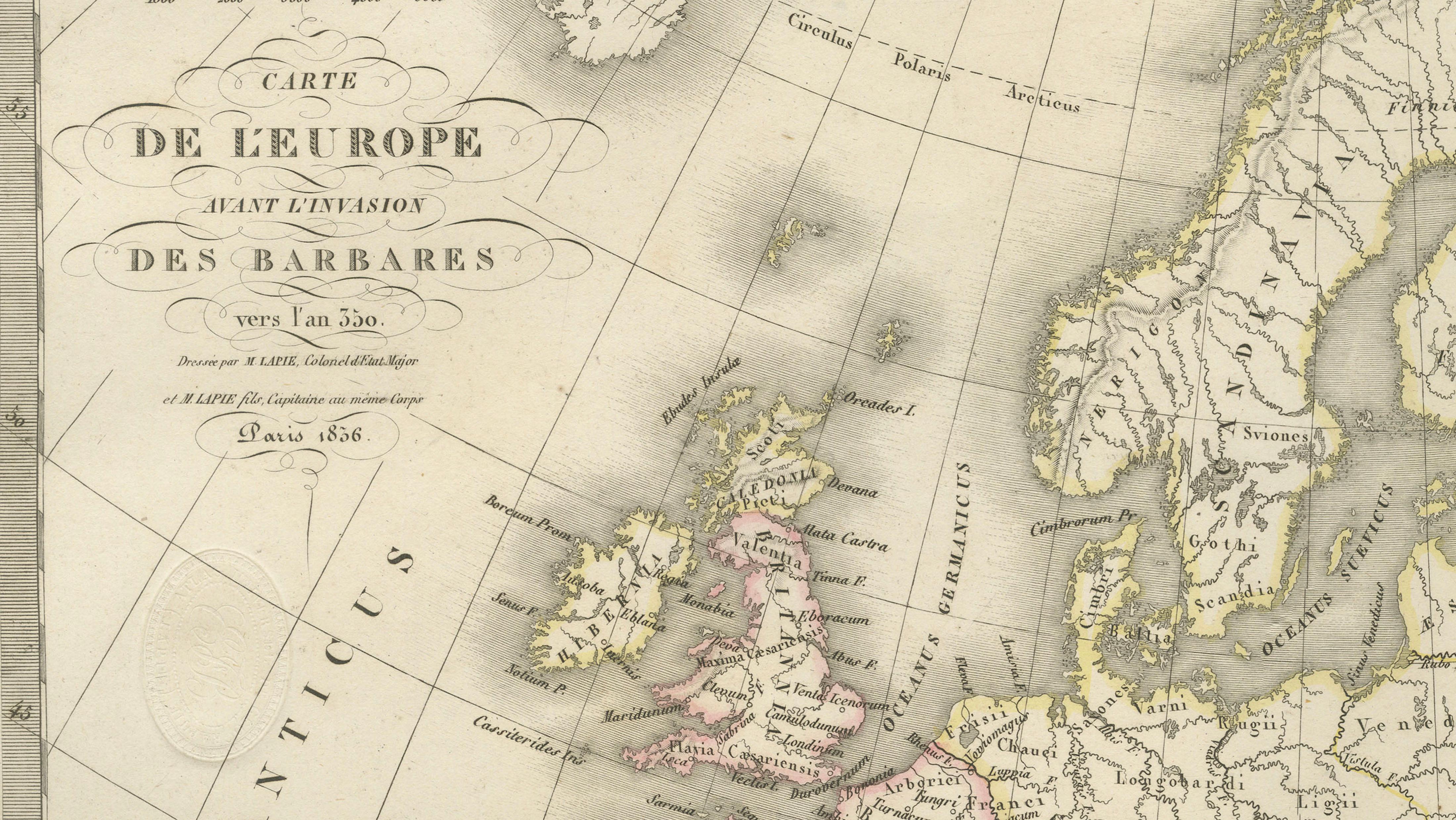
This striking double-sheet map of Europe was published in Paris in 1838 as part of the Atlas Universel de Géographie Ancienne et Moderne by the eminent French cartographer M. Lapie. The composition presents two complementary maps, each illustrating the European continent during the period of the so-called Barbarian Invasions, offering a rare and insightful visual comparison of historical movements that shaped the transition from the Roman world to early medieval Europe.
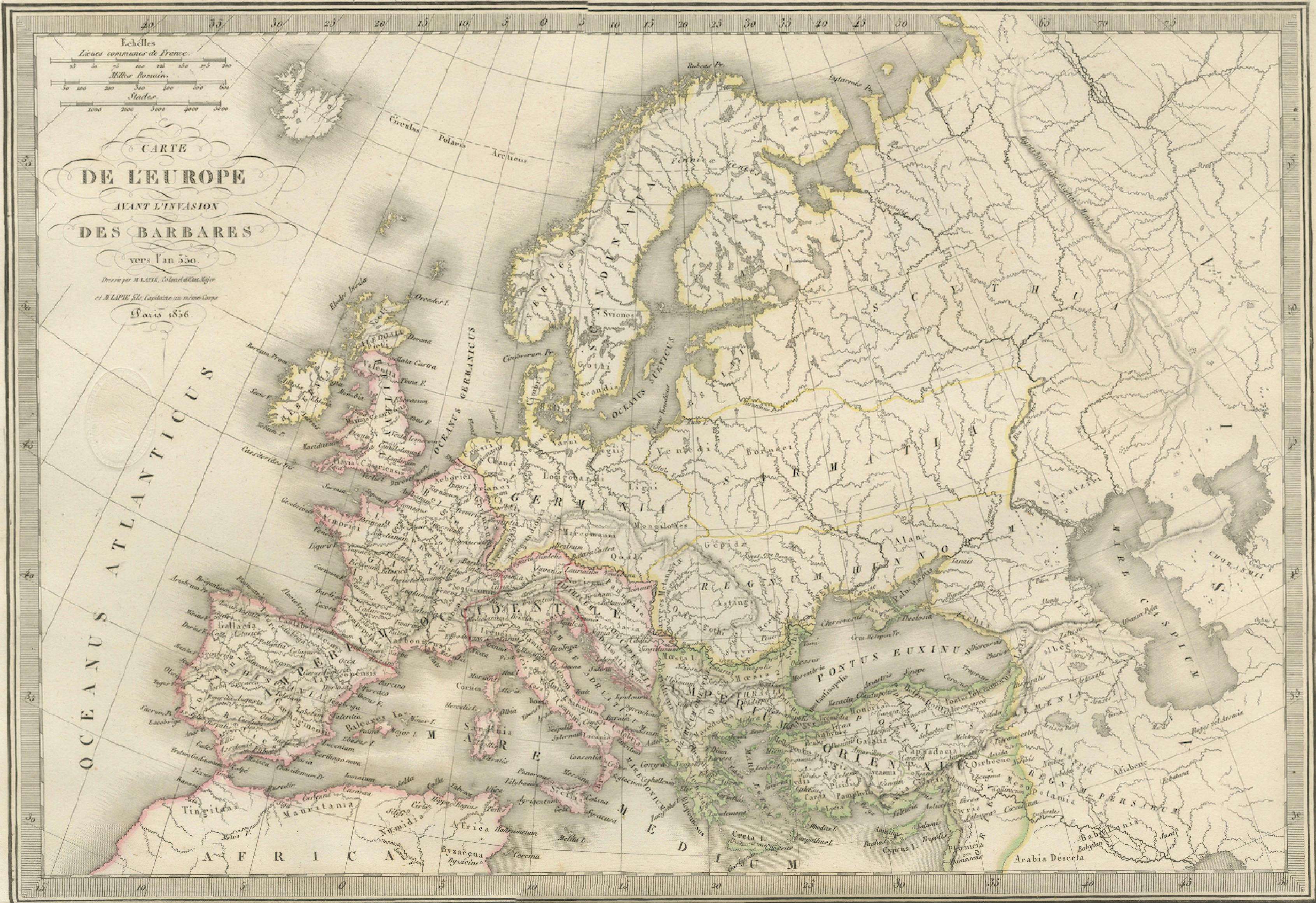
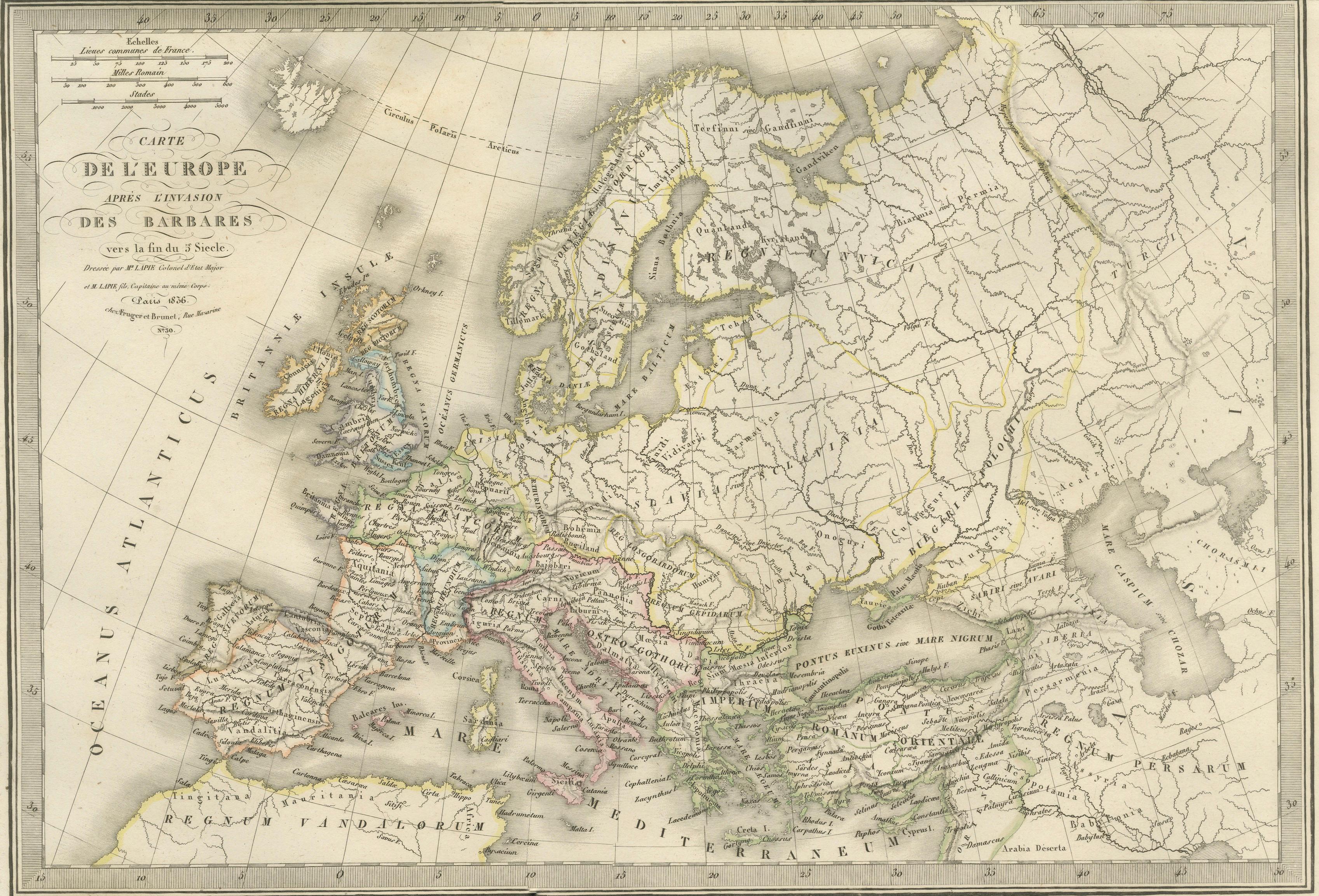
The upper map depicts Europe at the time of the invasions, while the lower map illustrates the situation toward the end of the period. Together, they trace the migrations and territorial shifts of various peoples, including Goths, Vandals, Huns, Franks, and Lombards. These movements are carefully delineated with subtle hand coloring, allowing the viewer to follow the complex patterns of migration and settlement across the continent.
Geographically, the maps span from the British Isles and Iberian Peninsula in the west to Eastern Europe and parts of western Asia in the east. Scandinavia is prominently rendered, emphasizing its role as a point of origin for several migrating groups. Major rivers, mountain ranges, and coastlines are finely engraved, providing a clear geographic framework for understanding the historical developments depicted.
The engraving was executed by Pierre Antoine Tardieu, whose refined linework ensures clarity and precision throughout both maps. His craftsmanship enhances the readability of dense historical information while maintaining an elegant visual balance. The restrained use of original hand coloring highlights key regions and movements without overwhelming the composition.
This dual presentation is particularly appealing for collectors and historians, as it not only serves as a decorative piece but also as an educational tool illustrating one of the most transformative periods in European history. The paired format adds visual interest and makes the sheet especially suitable for display in a study, library, or academic setting.
Condition: Good to very good condition. Light toning consistent with age and a central horizontal fold between the two maps, as issued. Margins are ample. Some scattered spotting visible, mainly in the outer margins. No major tears or restorations observed. Plate mark visible.
Framing tips: This piece lends itself well to a wide horizontal frame with a generous ivory mat, or alternatively a double-window mat to subtly separate the two maps while preserving the unity of the sheet. A dark walnut or ebonized frame enhances its historical character.
Note: This map is an original antique engraving and not a reproduction. It is offered unframed. Frame shown for presentation purposes only.
Technique: Engraving with original hand coloring
Maker: M. Lapie, engraved by Pierre Antoine Tardieu, Paris, 1838
Keywords: Europe, Barbarian invasions, migration period, Goths, Vandals, Huns, Franks, Lombards, Roman Empire, early medieval Europe, historical Europe map, double map, comparative maps, ancient geography, historical cartography, 19th century map, French cartography, Atlas Universel, Lapie map, Tardieu engraving, antique Europe map, decorative historical map, engraved map France, hand-colored engraving, antique geography print