About this sheet
Roman Gaul Provinces Map — Gallia Antiqua, Classical France & Rhine, Wilkinson 1815
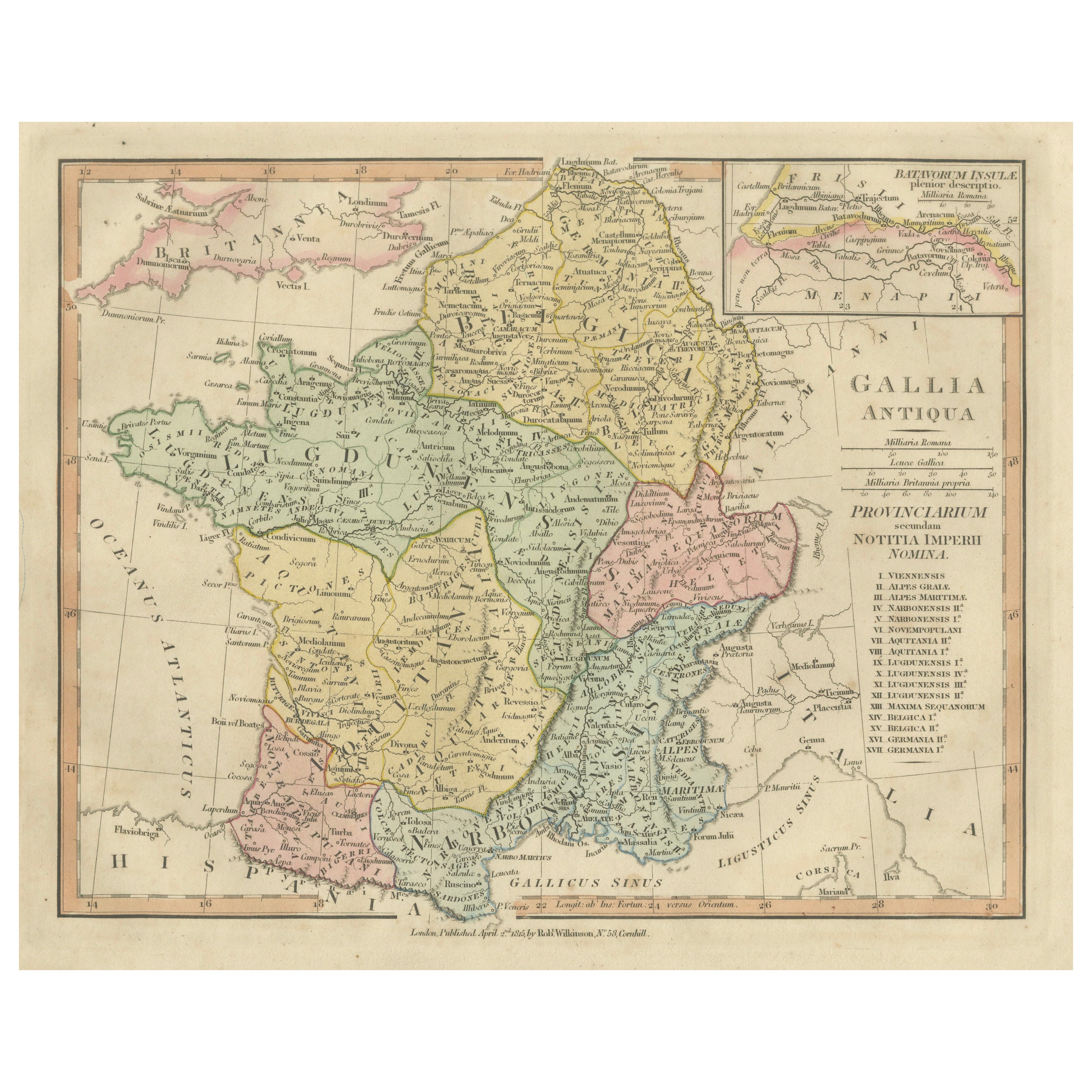
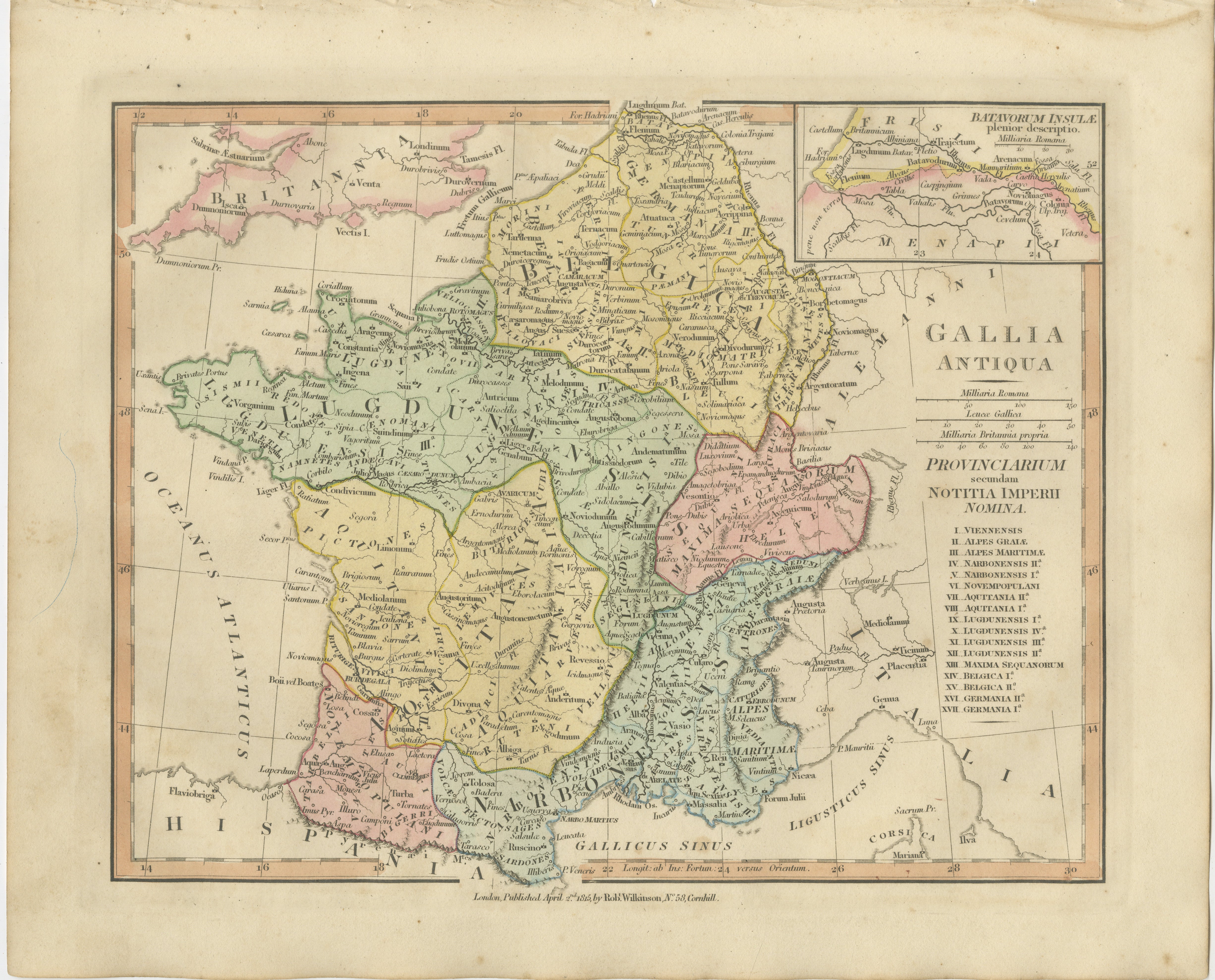
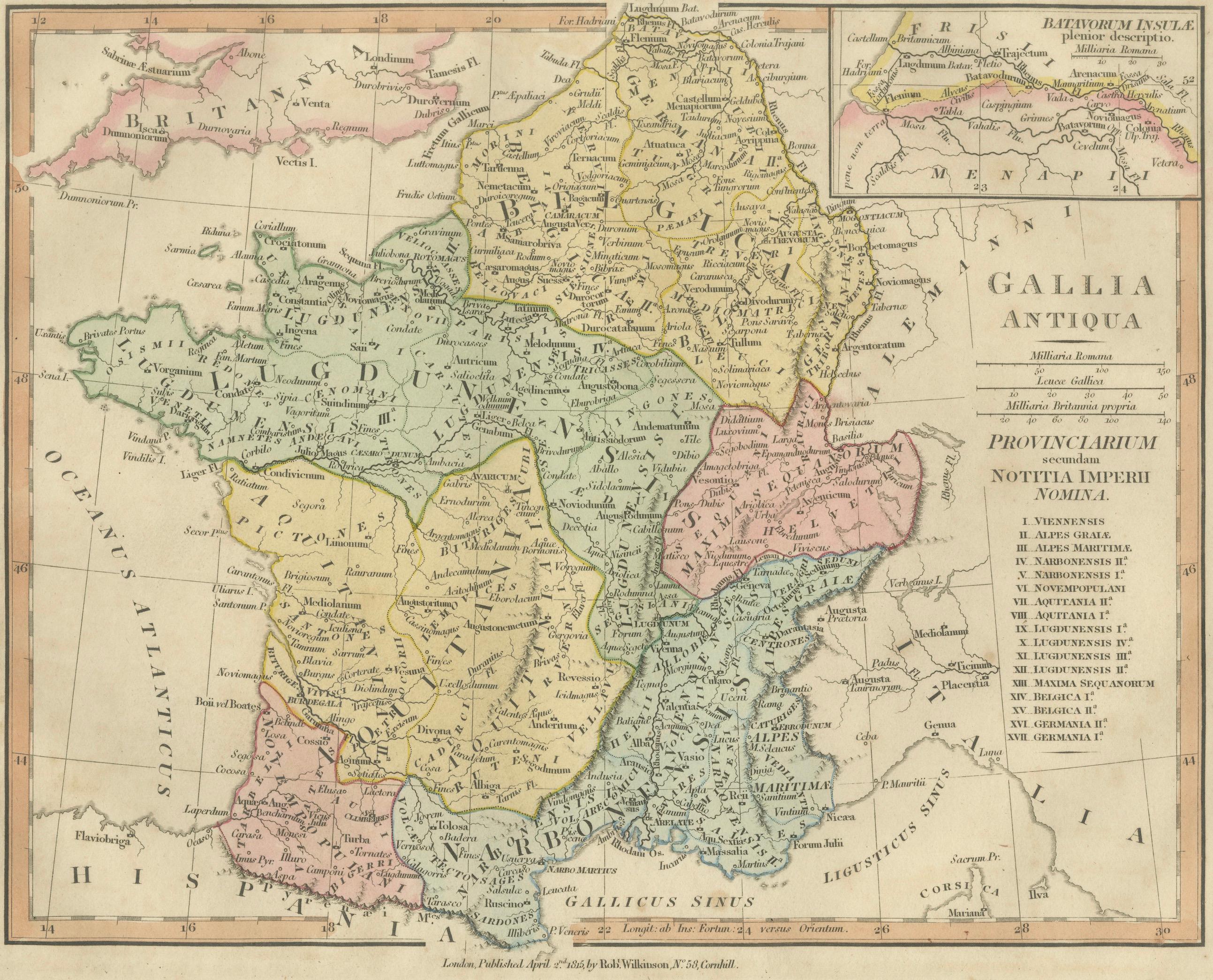
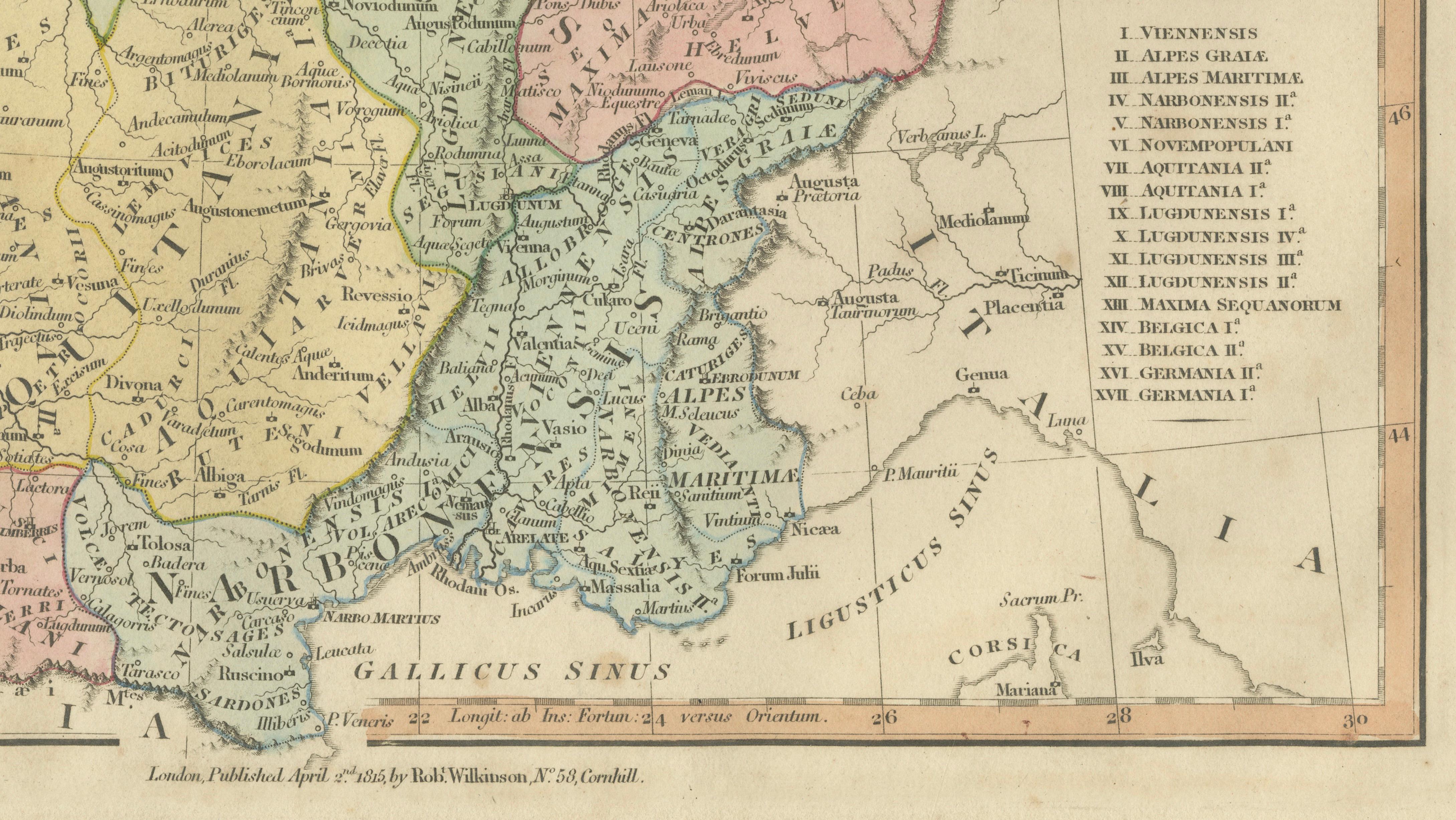
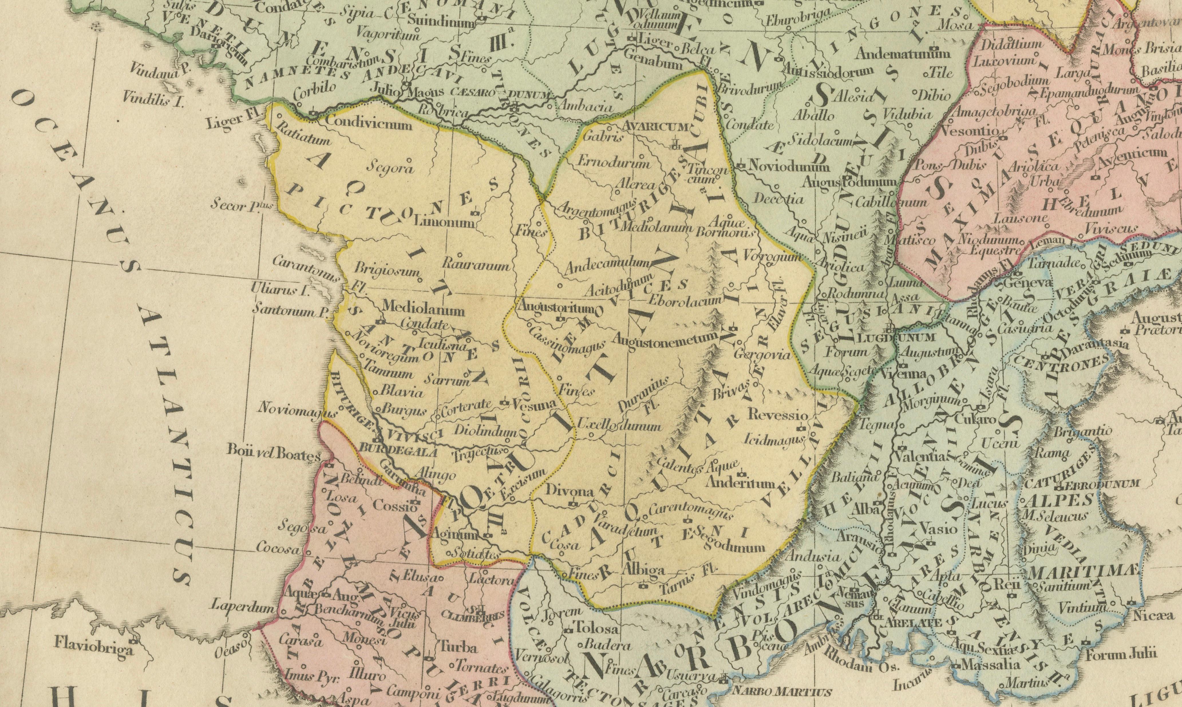
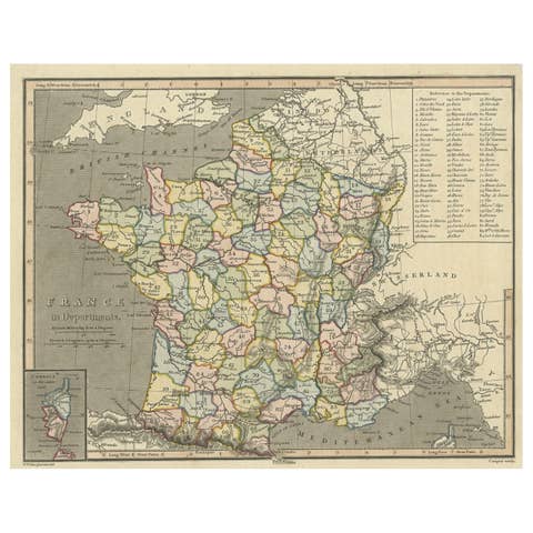
A finely engraved and hand-colored classical map of Roman Gaul titled Gallia Antiqua, published in London by Robert Wilkinson in 1827. This decorative and historically rich engraving illustrates the administrative divisions of the Roman Empire across ancient France and surrounding regions, presenting Gallia as understood through classical sources and Roman provincial geography.
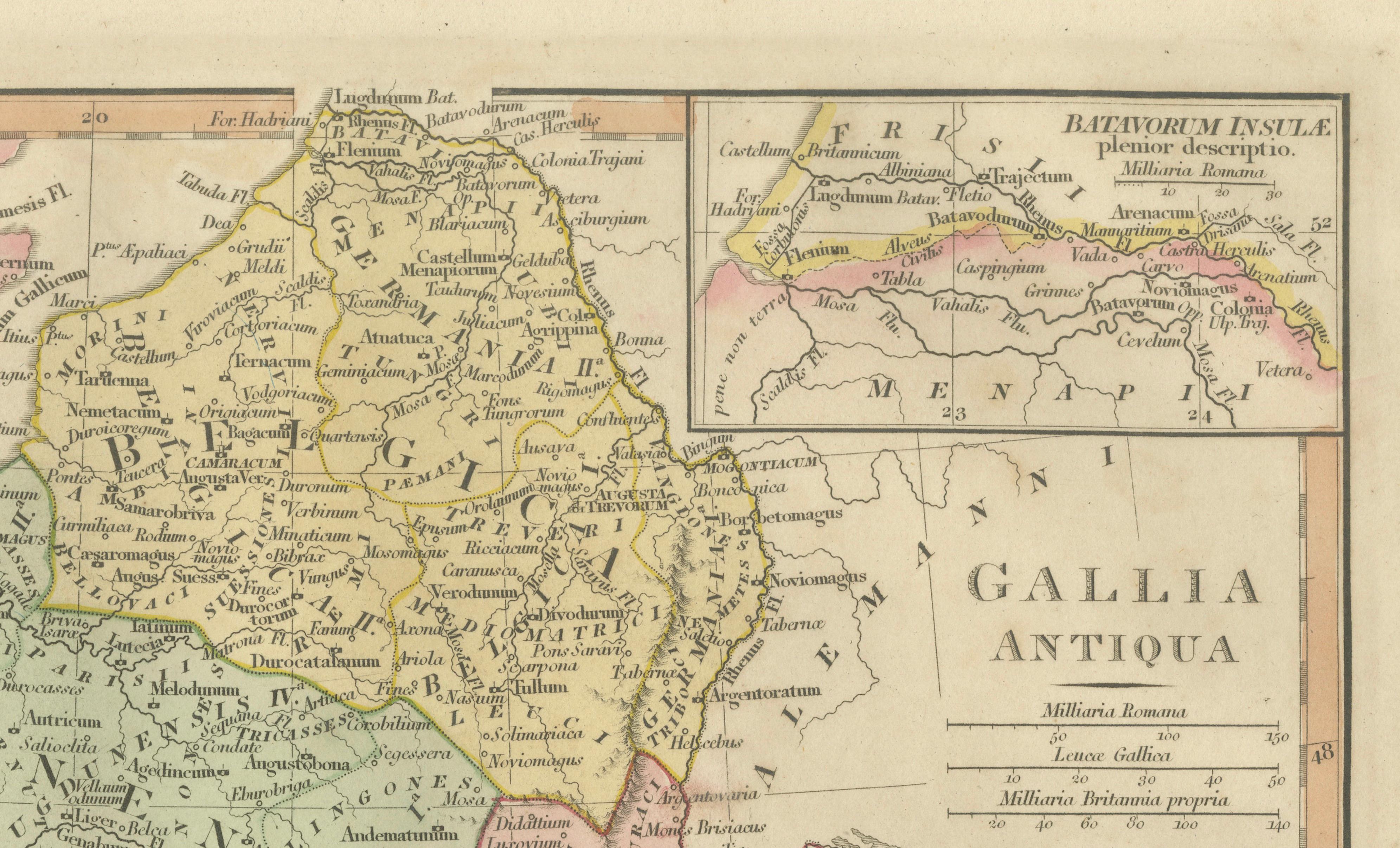
The map divides Gaul into its principal Roman provinces, including Gallia Aquitania, Gallia Lugdunensis, Gallia Belgica, and Gallia Narbonensis, each highlighted in subtle original outline color. The Rhine frontier marks the transition into Germania Inferior and Germania Superior, emphasizing the strategic northern boundary of Roman control. Insets include Britannia and Batavorum Insula, linking the continental provinces to the wider imperial geography.
Major ancient cities appear throughout, including Lugdunum (Lyon), Lutetia (Paris), Massilia (Marseille), Narbo Martius, Arelate, Vienna, and Augusta Treverorum (Trier), alongside tribal territories such as the Sequani, Aedui, Helvetii, Nervii, and Treveri. Rivers like the Rhodanus (Rhône), Sequana (Seine), Garumna (Garonne), and Rhenus (Rhine) are carefully delineated, demonstrating both geographical accuracy and classical scholarship.
Published during the early nineteenth century revival of classical historical geography, this engraving reflects the period’s fascination with antiquity and educational atlas production. Wilkinson’s London publications are admired for their clean engraving style, balanced typography, and refined hand coloring, making them highly suitable both for collectors and interior designers seeking elegant classical imagery.
The composition balances scholarly detail with decorative clarity, making it equally appealing as an academic reference or as a visually refined wall piece. When framed with generous matting, the pastel provincial colors and delicate engraving lines create a calm, sophisticated aesthetic ideal for classical interiors or historical collections.
Condition: Good antique condition with age-appropriate toning and light handling wear. Minor edge wear and light discoloration consistent with age. Plate mark visible.
Framing tips: Display beautifully in a dark walnut, black, or gilded frame with an ivory or warm off-white mat. A generous mat border enhances the pastel provincial coloring and emphasizes the fine engraved linework.
Keyword block:
Gallia Antiqua, Roman Gaul, Gallia Narbonensis, Gallia Aquitania, Gallia Lugdunensis, Gallia Belgica, Germania Inferior, Germania Superior, Batavorum Insula, Britannia, Hispania, Italia, Provincia Narbonensis, Alpes Graiae, Alpes Maritimae, Sequani, Helvetii, Lingones, Senones, Aedui, Arverni, Bituriges, Pictones, Santones, Nervii, Treveri, Remi, Parisii, Lugdunum Lyon, Lutetia Paris, Massilia Marseille, Narbo Martius Narbonne, Burdigala Bordeaux, Tolosa Toulouse, Vienna Vienne, Arelate Arles, Augusta Treverorum Trier, Argentoratum Strasbourg, Vesontio Besançon, Oceanus Atlanticus, Mare Gallicum, Ligusticus Sinus, Rhodanus Rhône, Garumna Garonne, Sequana Seine, Mosella Moselle, Rhenus Rhine, classical antiquity France, Roman provincial map France, ancient Europe cartography, classical atlas engraving, Wilkinson London.
Technique: Hand-colored engraving
Maker: Robert Wilkinson, London, 1827