About this sheet
British Isles Antique Map – England, Scotland & Ireland, Lapie Paris 1836
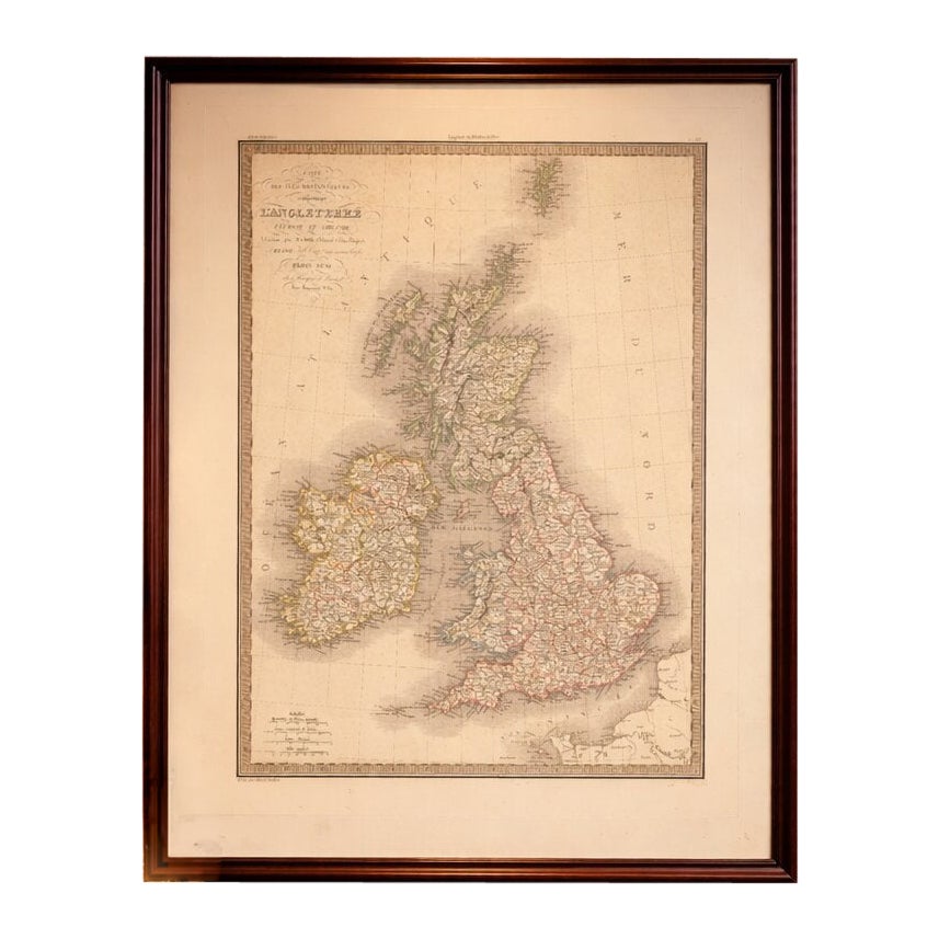
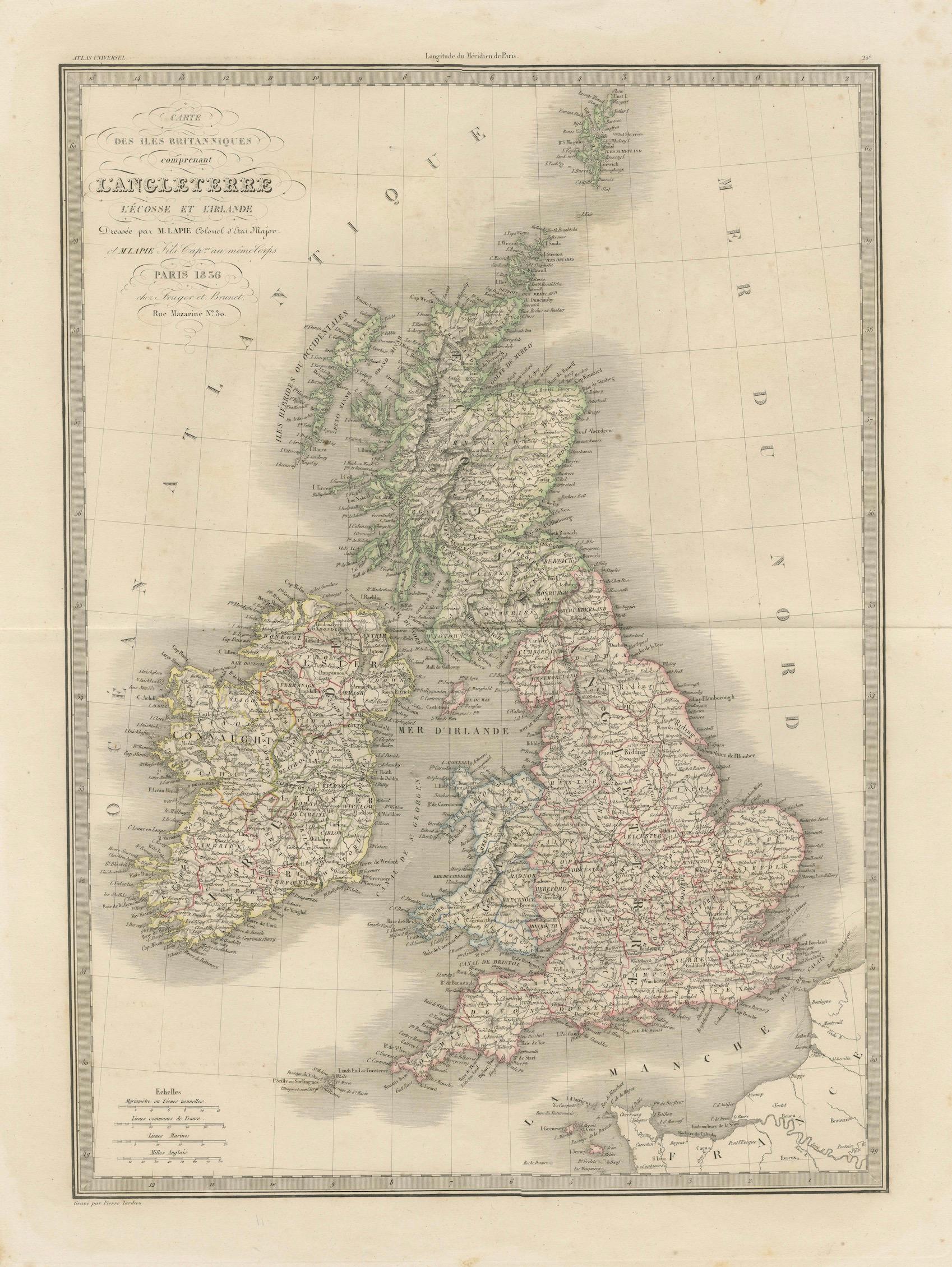

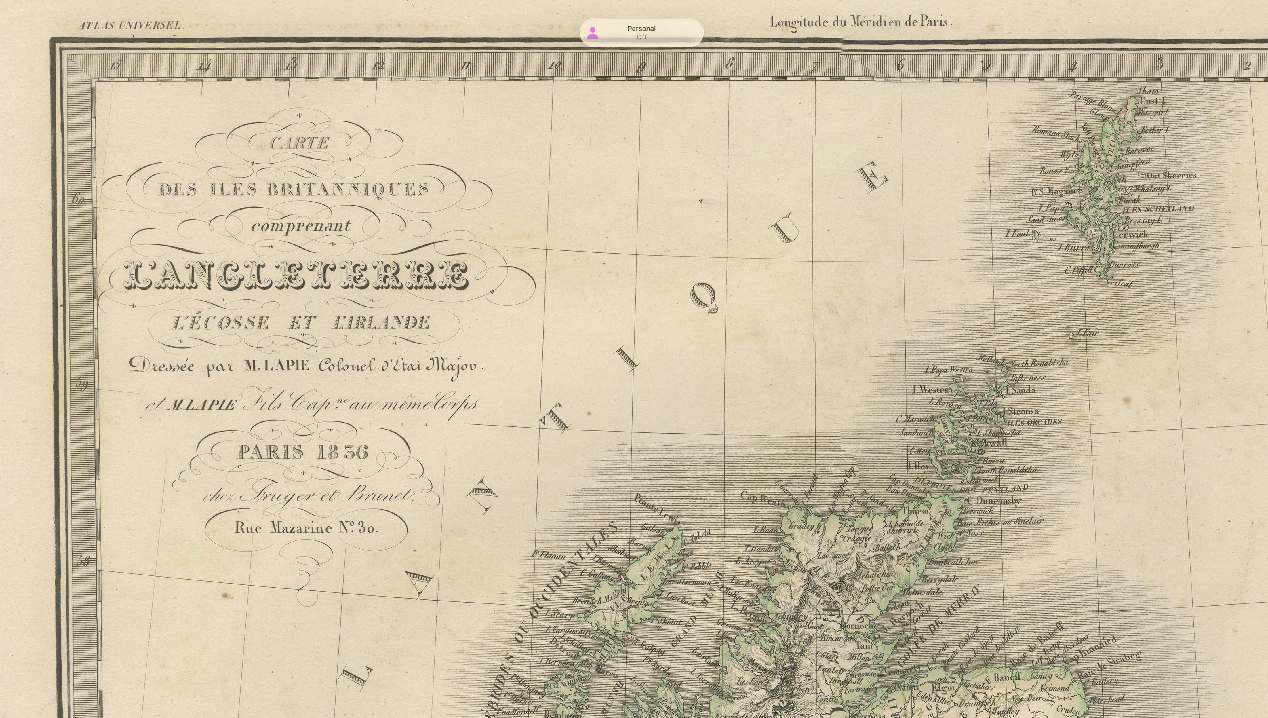
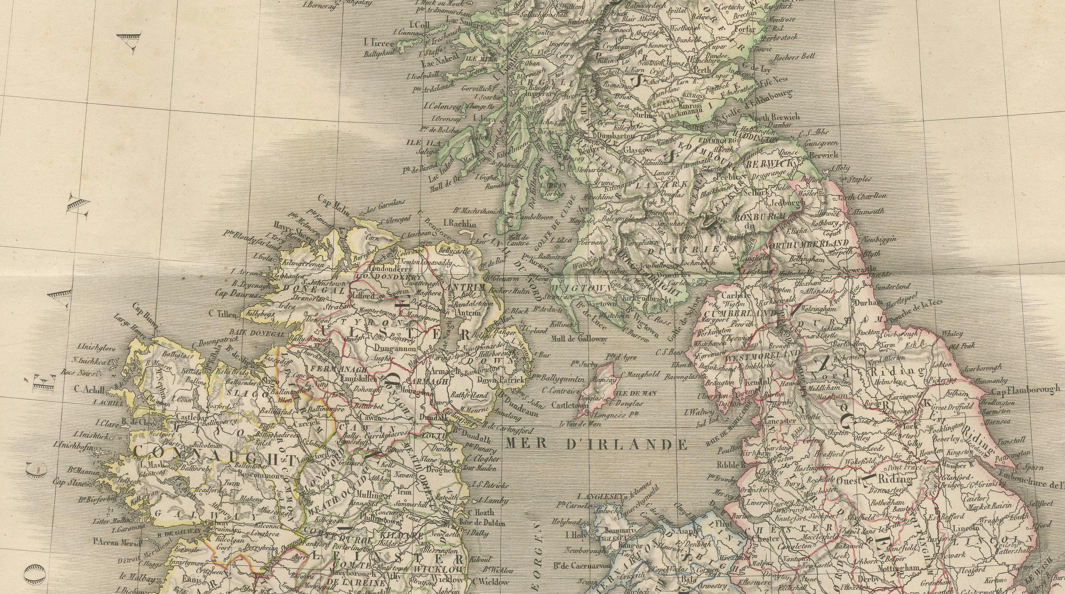
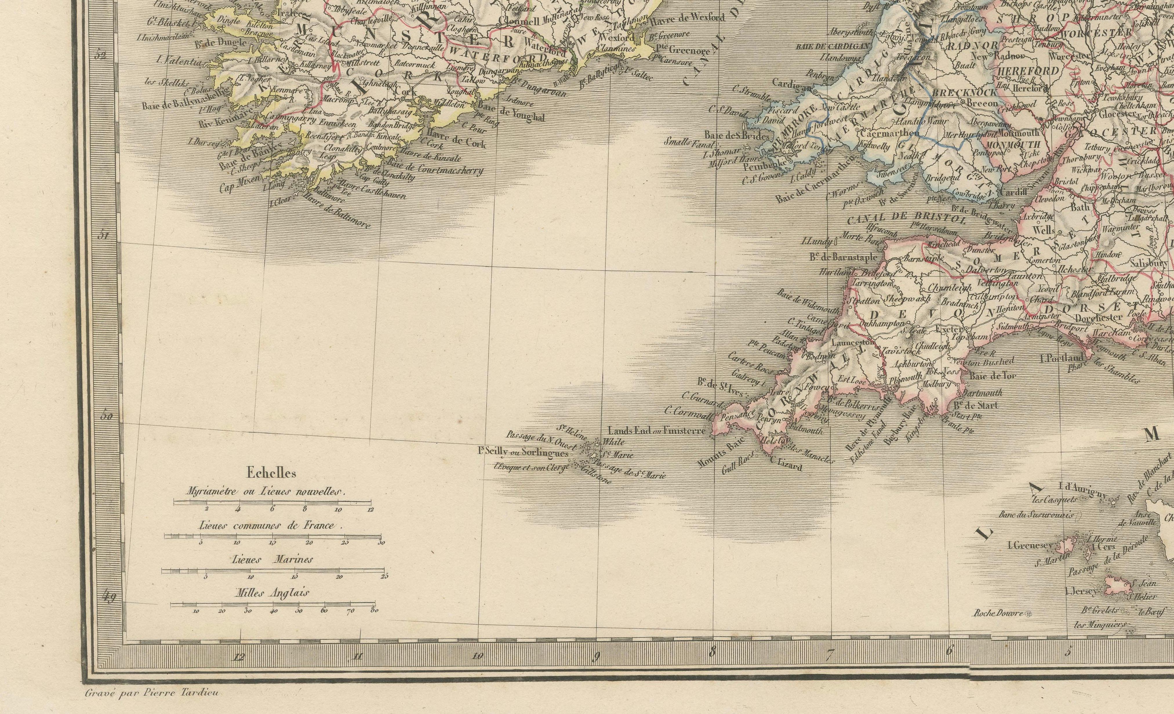
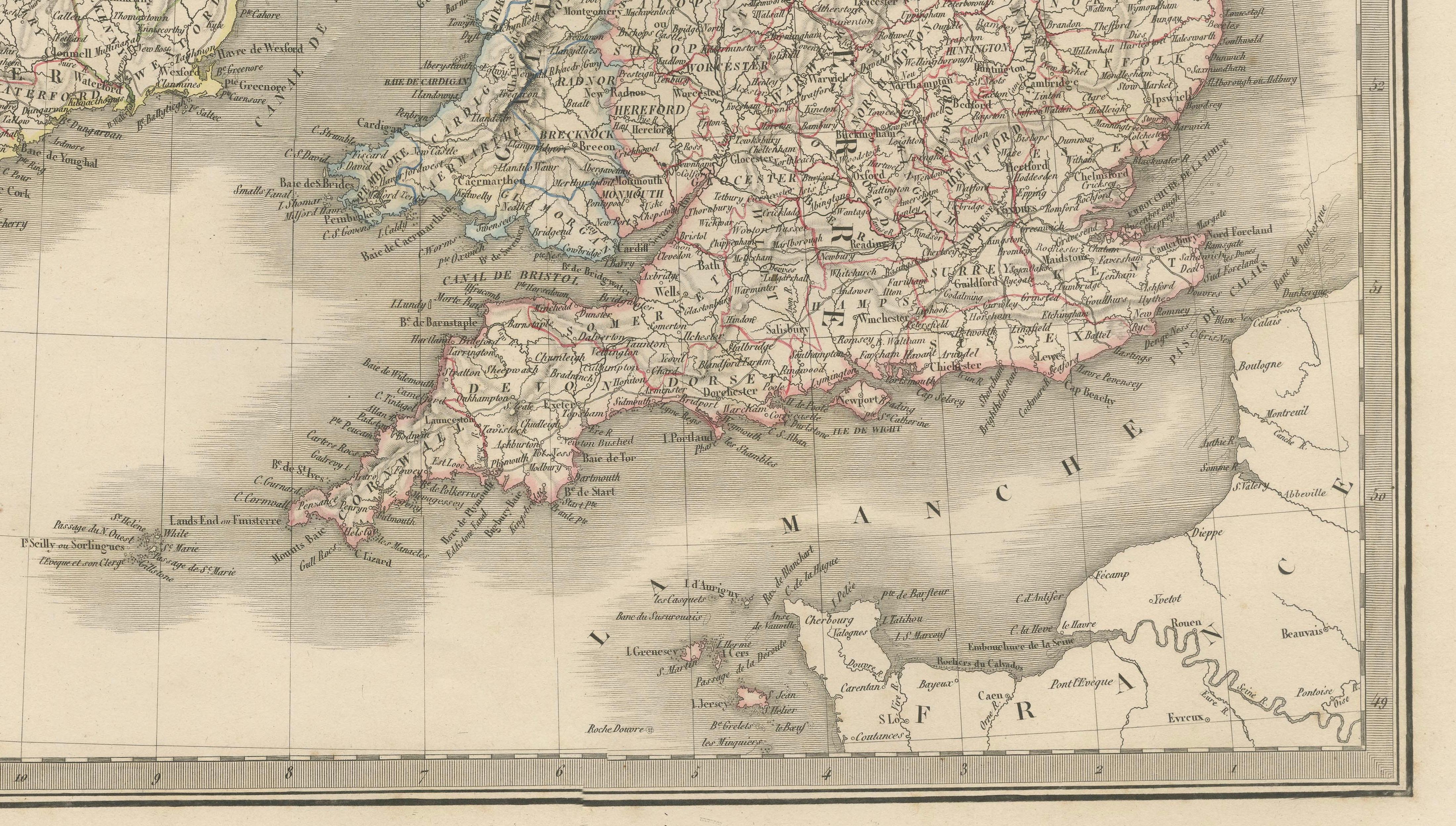
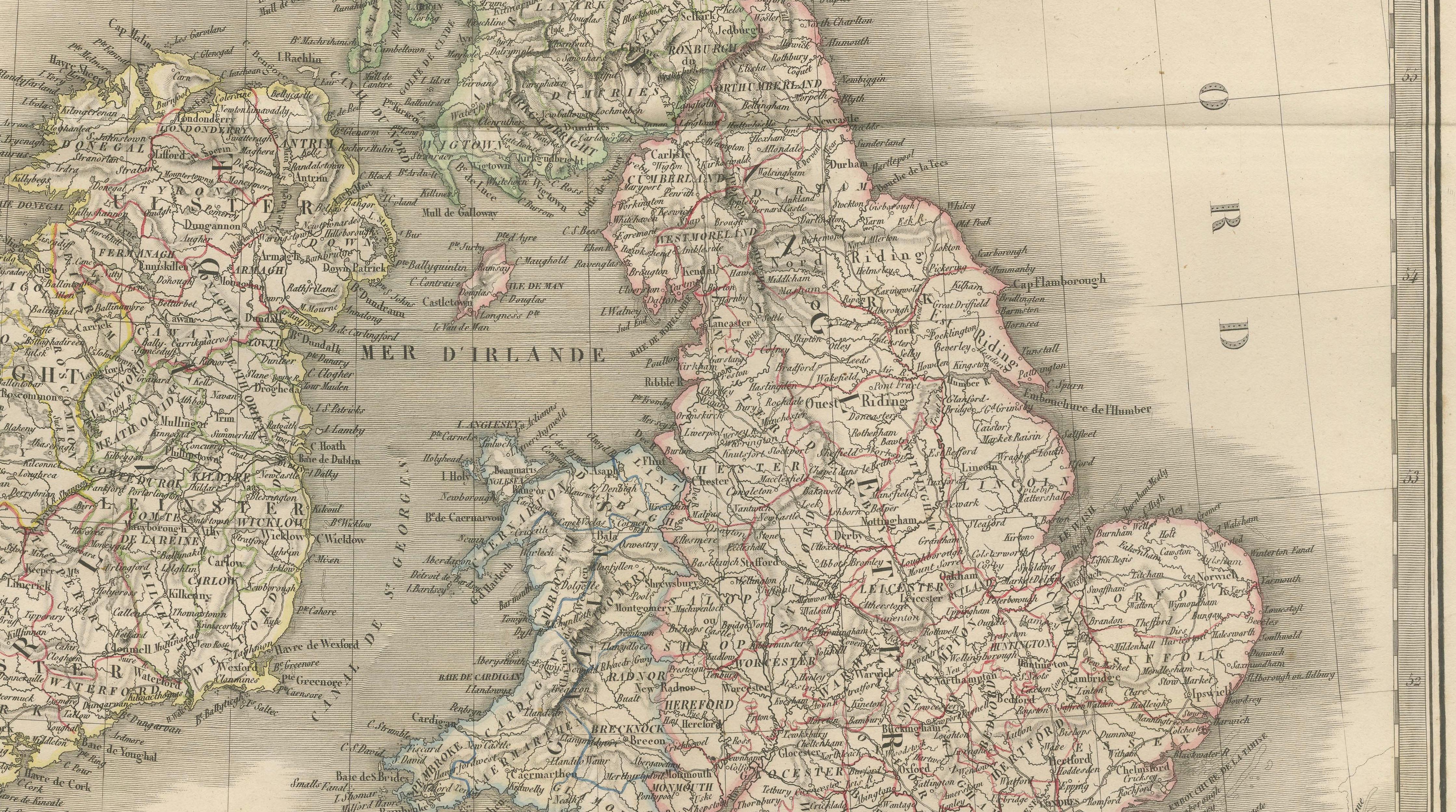
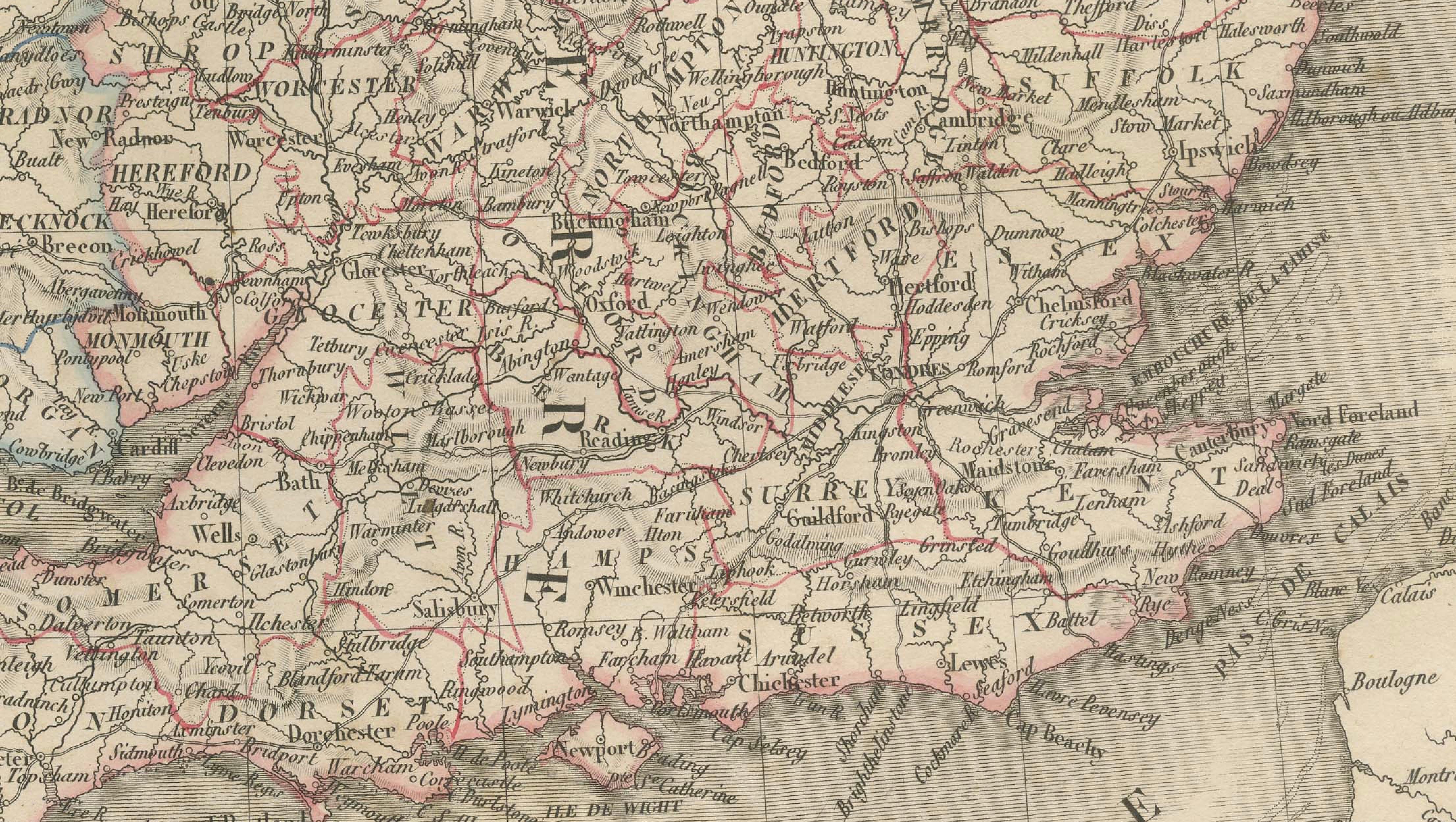
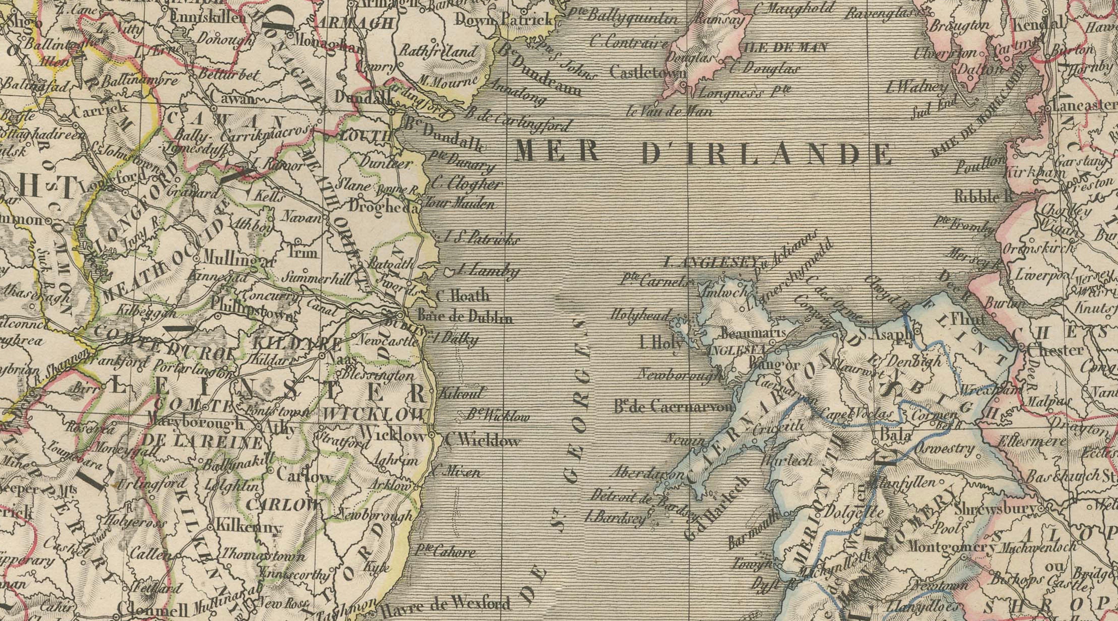
A finely engraved and beautifully hand-colored early 19th-century map of the British Isles, depicting England, Scotland, and Ireland in exceptional detail. This elegant composition was published in Paris in 1836 as part of the celebrated Atlas Universel de Géographie Ancienne et Moderne by the distinguished French cartographer M. Lapie.
The map presents a comprehensive view of the British Isles, with England and Wales outlined in soft red, Ireland in yellow, and Scotland in green, creating a harmonious yet highly legible composition. The dense network of towns, cities, rivers, and roads reflects the advanced state of geographic knowledge in the early 19th century, while the surrounding seas—including the Irish Sea and the North Sea—are delicately shaded, enhancing both depth and visual balance.
Particularly notable is the detailed rendering of Scotland’s rugged Highlands and island groups, including the Hebrides, as well as the intricate coastline of Ireland and the dense infrastructure of England. The map captures a moment in time just prior to the height of the Victorian era, offering insight into the geographic and administrative landscape of the British Isles during a period of rapid industrial and social transformation.
Lapie’s cartographic approach is characterized by clarity, precision, and refinement. Terrain is rendered through delicate hachuring, while subtle original hand coloring distinguishes political divisions without overwhelming the engraved detail. The engraving was executed by Pierre Antoine Tardieu, a member of the renowned Tardieu family of engravers, whose crisp linework ensures remarkable readability and elegance throughout.
This map is highly desirable for collectors of British cartography, as well as for interior designers seeking a classic and recognizable geographic subject with strong decorative appeal. Its balanced vertical format makes it particularly suitable as a standalone statement piece in a study, library, or traditional interior.
NOTE: The interior mockups are for visual inspiration only and do not represent the exact scale.
Condition: Good antique condition with age-related toning and scattered foxing, more visible in the margins. Original fold lines as issued. The engraving remains sharp and clear, with attractive original hand coloring. Plate mark visible.
Framing tips: This map displays beautifully with a wide ivory or warm off-white mat and a thin dark walnut or ebonized frame. A classic museum-style presentation enhances both the color balance and the fine engraved detail. Ideal as a focal piece in a study, office, or library setting.
Technique: Engraving with original hand coloring
Maker: M. Lapie, engraved by Pierre Antoine Tardieu, Paris, 1836
Keyword block:
British Isles map, England map, Scotland map, Ireland map, Wales map, London, Edinburgh, Dublin, British Empire map, United Kingdom map antique, 19th century Britain map, Lapie map, Tardieu engraving, Atlas Universel, antique UK map, historical cartography Britain, Irish Sea, North Sea, Hebrides, Highlands Scotland, early Victorian era map, hand-colored engraving map, French atlas map Britain, detailed England map antique