About this sheet
Antique Map of Java Madura and Bali - Dutch East Indies Colonial Cartography
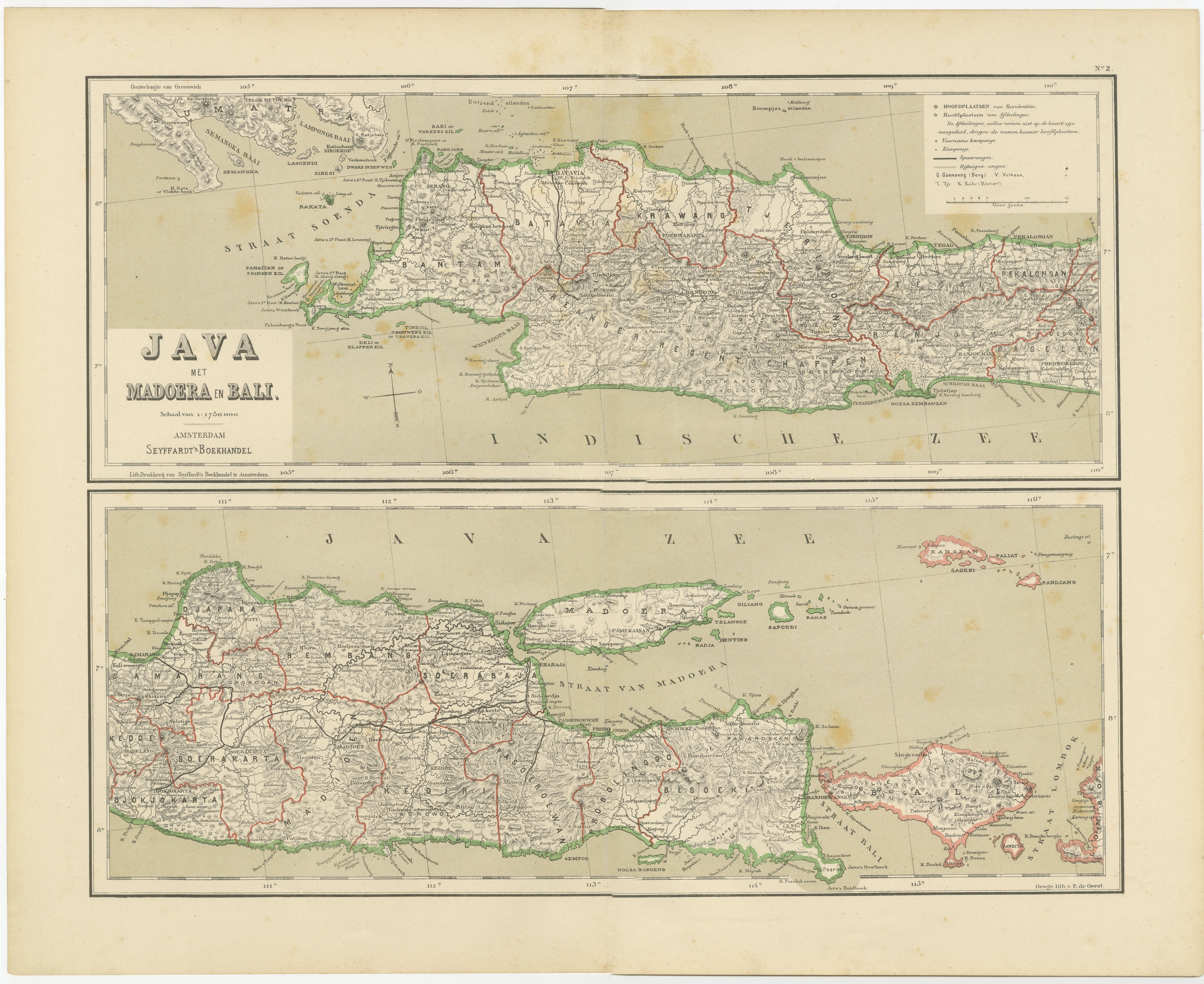
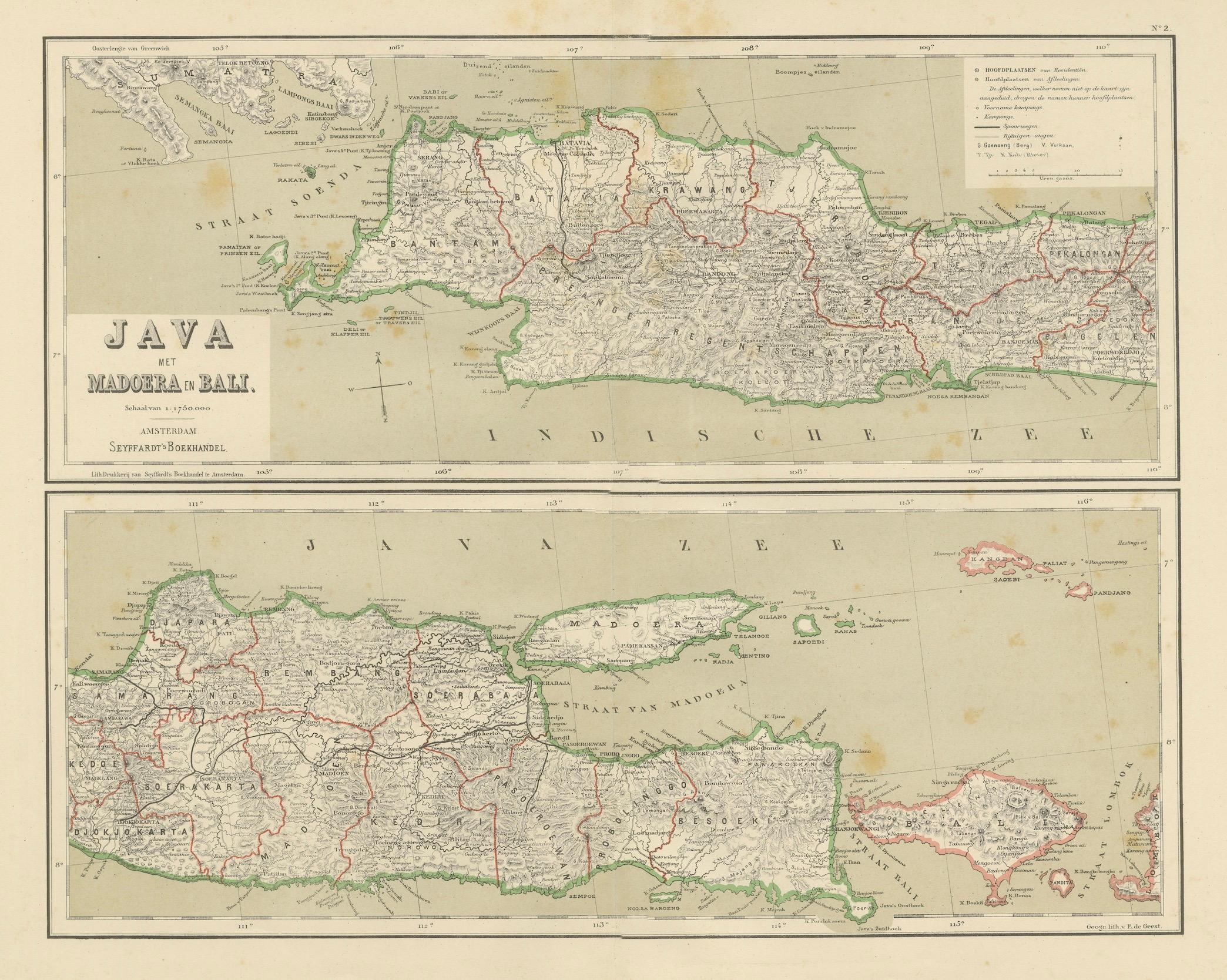
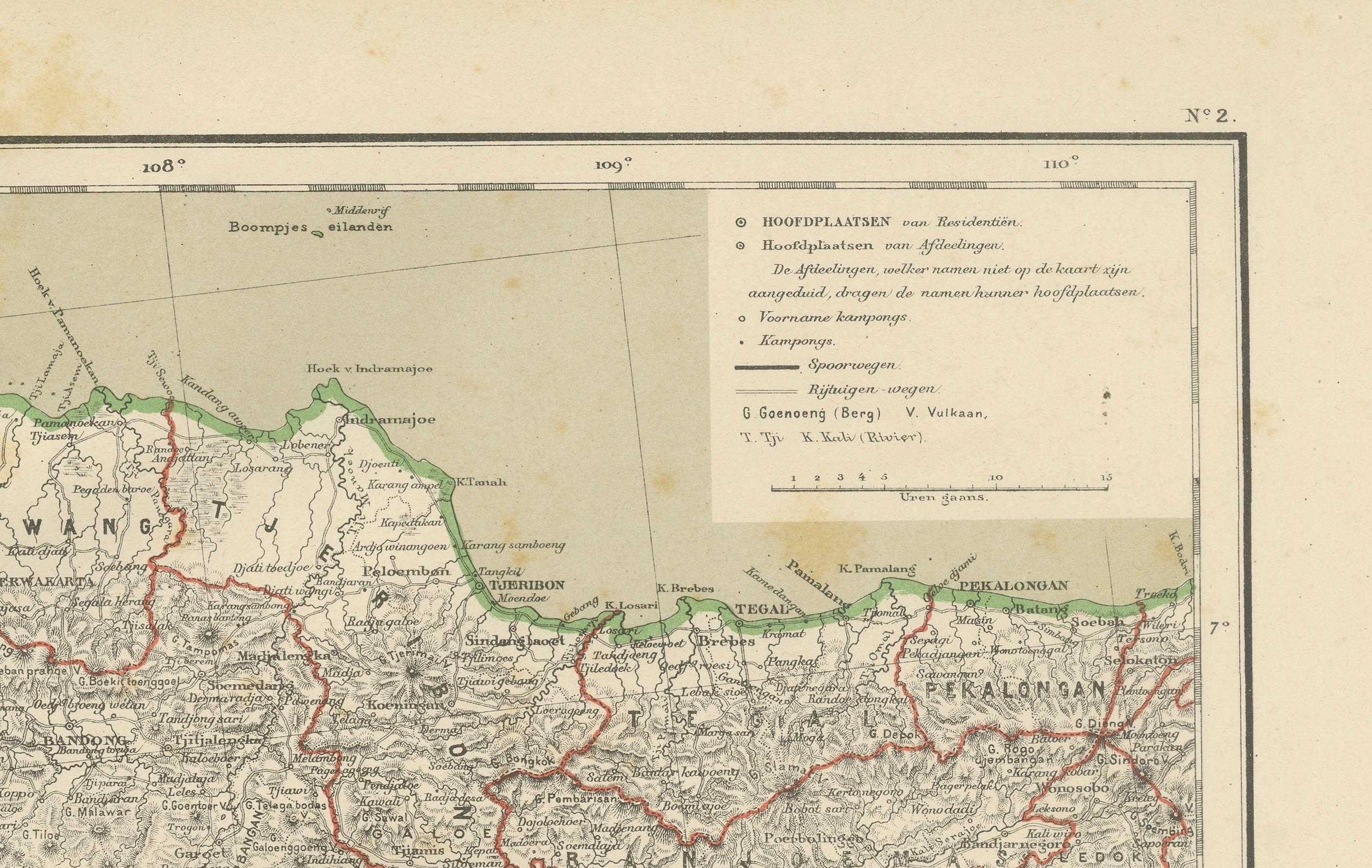
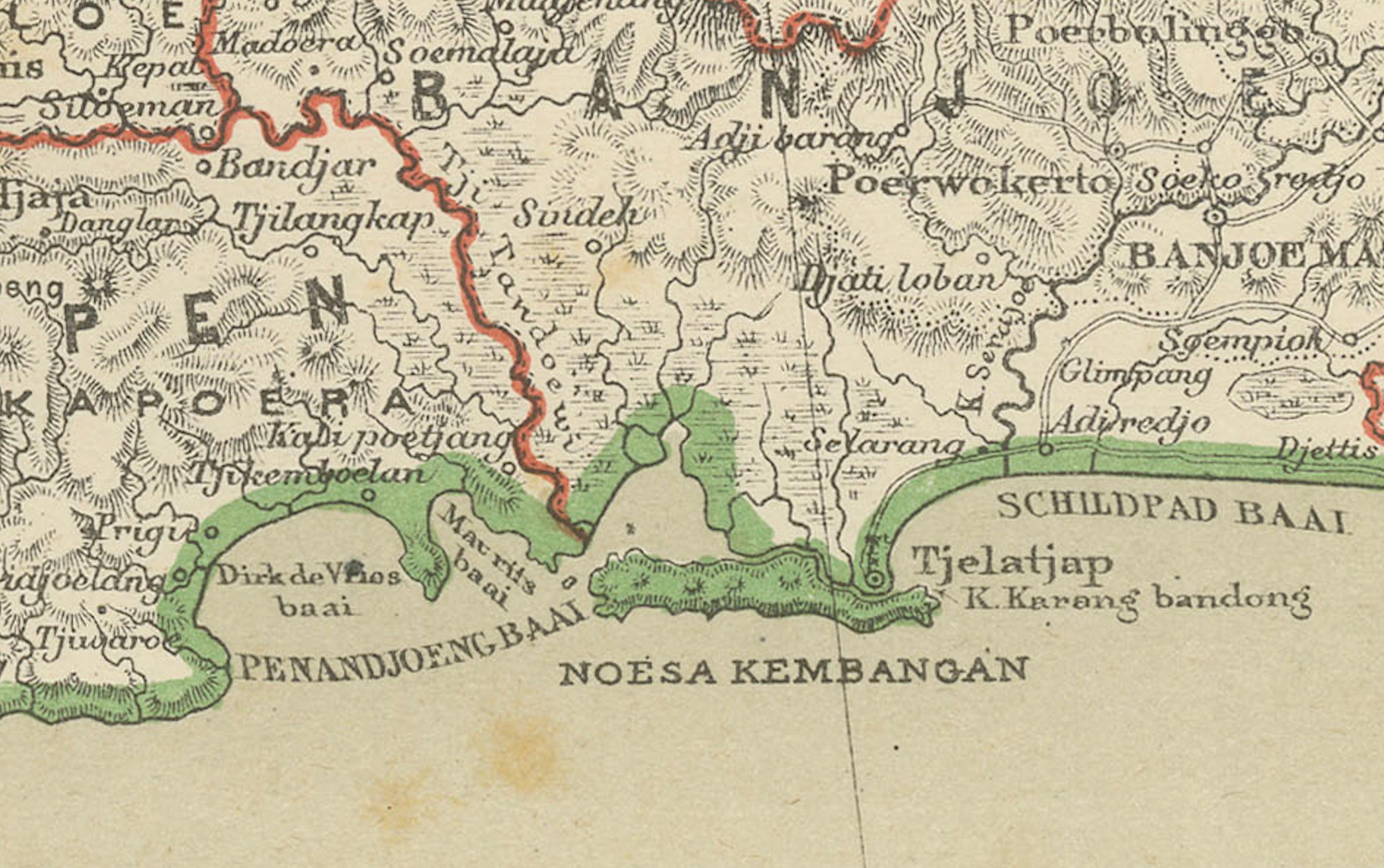
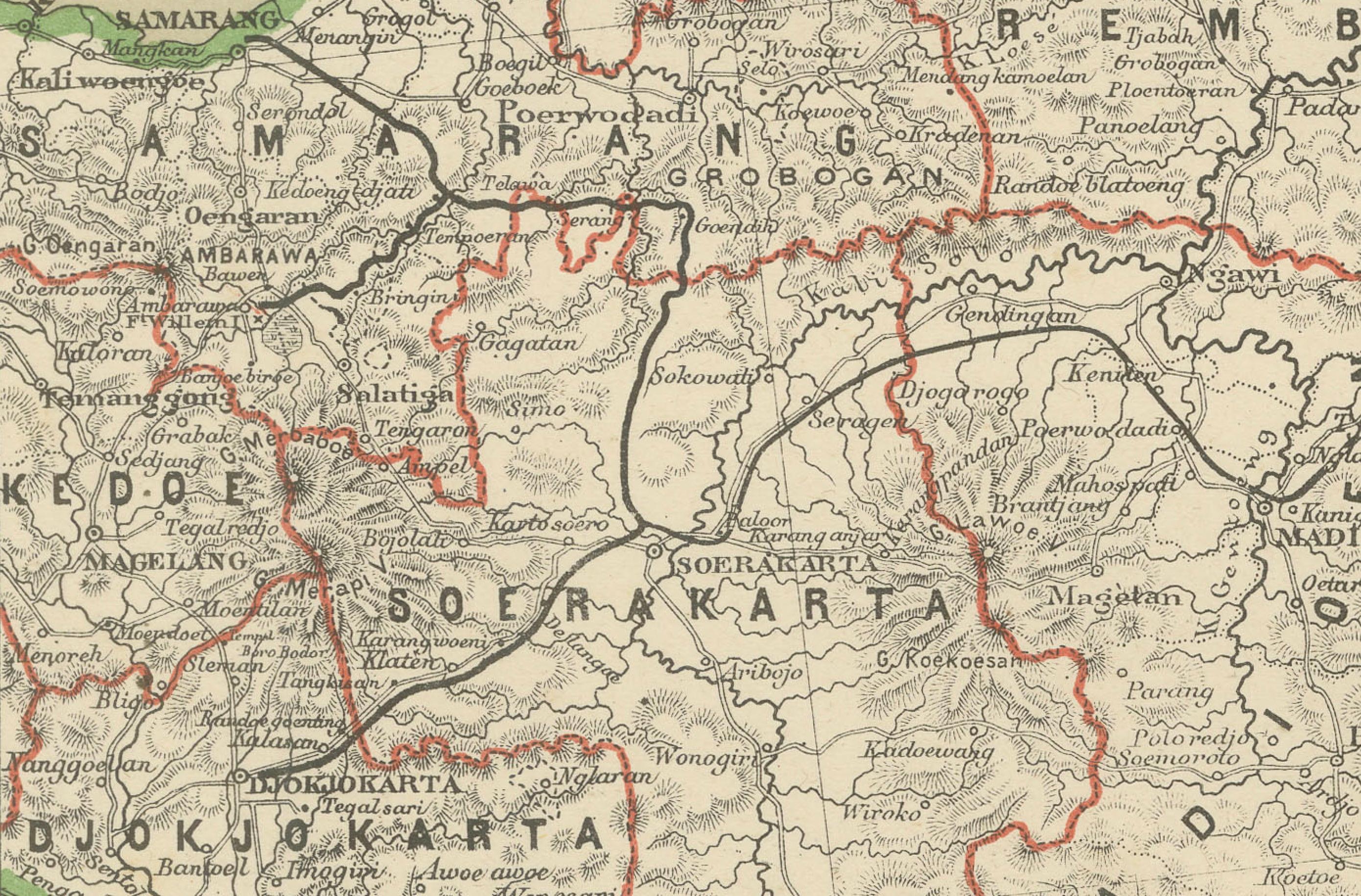
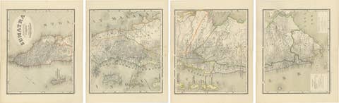
This decorative antique map depicts the island of Java together with Madura and Bali, presenting one of the most detailed and authoritative cartographic representations of the region during the late Dutch colonial period. Issued in Amsterdam in the late 19th to early 20th century, the map reflects the peak of Dutch administrative, infrastructural, and topographical surveying in the Dutch East Indies.
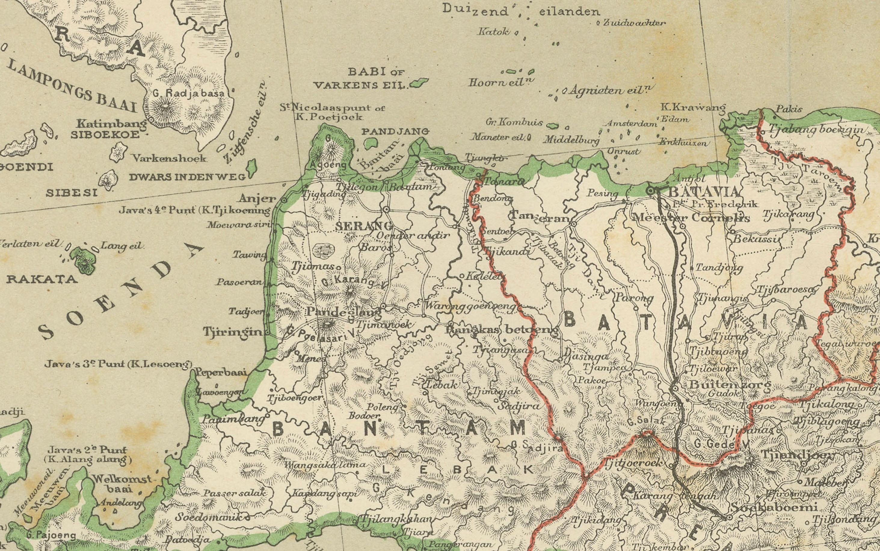
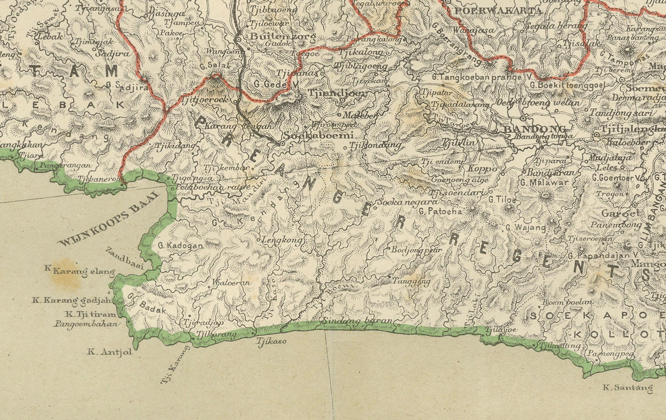
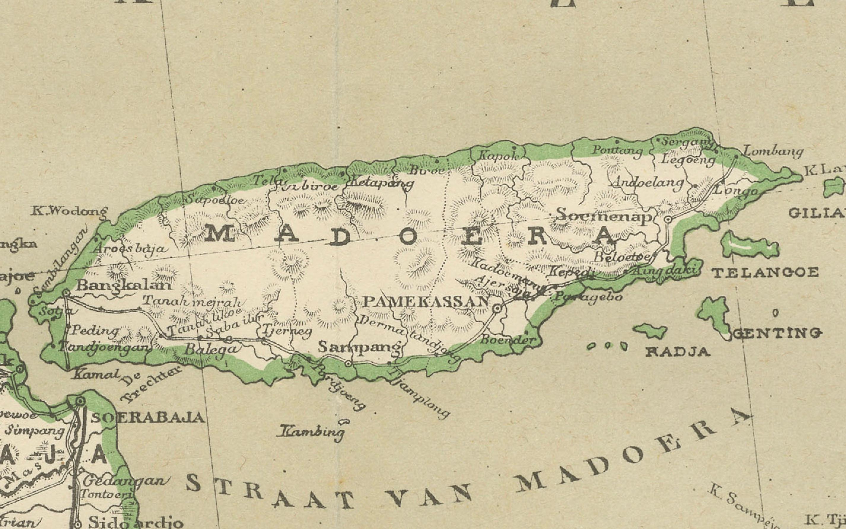
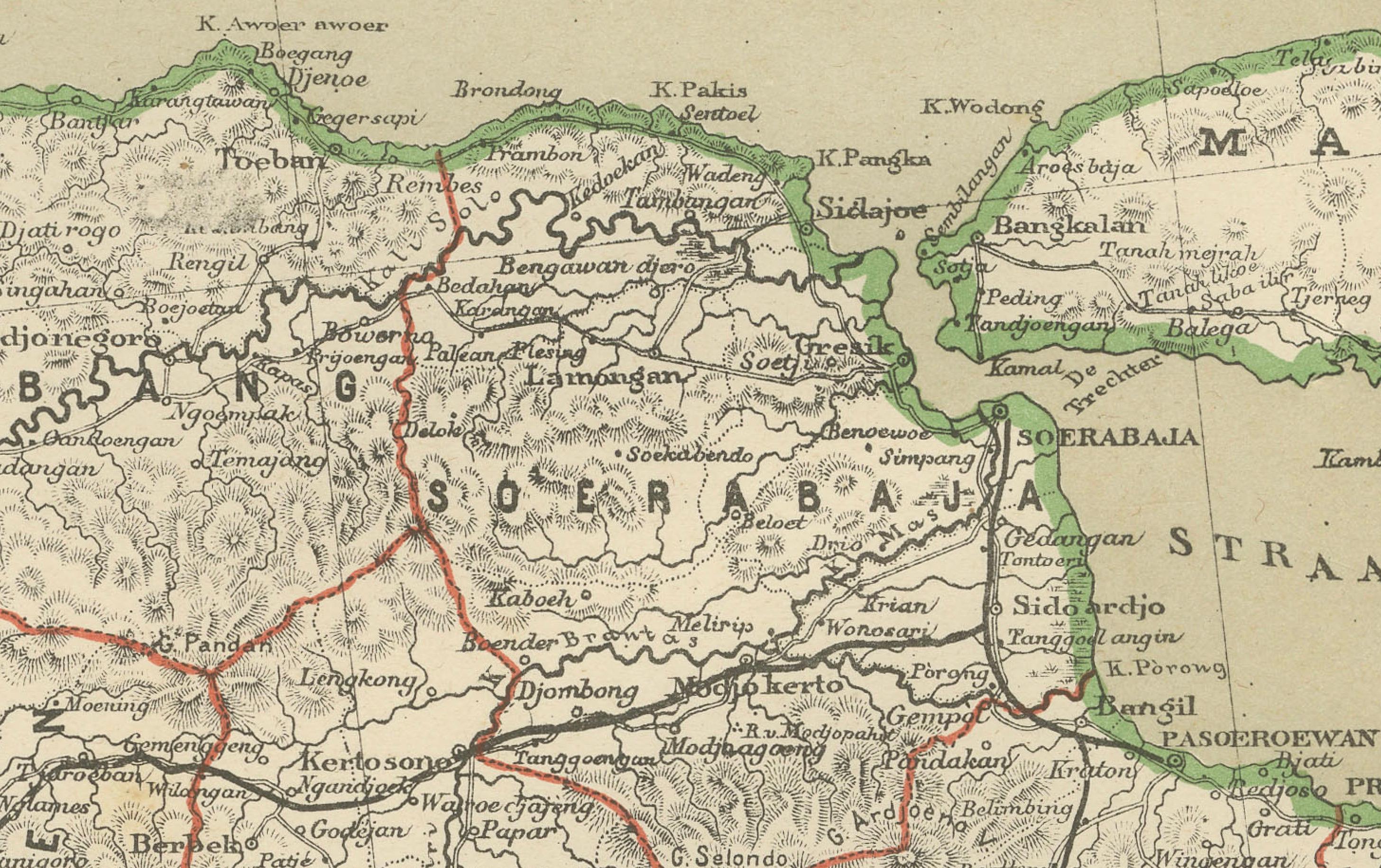
The composition shows Java across two horizontally aligned sections, allowing for an exceptionally wide and panoramic geographic overview. Mountain ranges, river systems, coastlines, cities, ports, railways, roads, and administrative borders are all meticulously engraved and clearly delineated. Madura is shown in full to the northeast, while Bali appears at the eastern edge, emphasizing Java’s central position within the eastern Indonesian archipelago.
This map was created for practical administrative and governmental use rather than for decoration, resulting in a level of geographic precision far exceeding most contemporary commercial maps. The subtle original hand coloring distinguishes provincial boundaries and coastal contours, while the restrained palette enhances legibility and visual balance. The aesthetic is sober, elegant, and highly architectural, making the map equally suited for scholarly, institutional, and refined interior display.
Historically, the map captures Java at the height of Dutch colonial control, just prior to the enormous political and social transformations of the 20th century. Rail networks, plantation zones, and colonial administrative regions are clearly visible, offering direct insight into how the island was organized, governed, and economically exploited during this period.
Because of its scale, clarity, and geographic importance, this map is highly sought after by collectors of Southeast Asian cartography, Indonesian history, colonial studies, and large-format wall maps. It displays exceptionally well in libraries, studies, boardrooms, and curated interiors where scale and historical authority are key.
Condition report
The map is in good condition overall. Light age-related toning throughout and scattered minor foxing, consistent with careful archival storage. Original hand coloring remains fresh. No major tears, no heavy staining, and no significant losses. Strong, clean impression.
NOTE: We sell this print not framed, but only as a loose sheet.
Framing tips: This wide panoramic map is ideally framed with a soft ivory or light grey museum mat and a slim dark walnut, bronze, or restrained gilt frame. UV-protective museum glass is strongly recommended. Due to the horizontal format, it works especially well above consoles, desks, or along long wall sections.
Technique: Color lithography
Maker: Dutch colonial cartographic publication, Amsterdam, late 19th–early 20th century