About this sheet
Antique Map of the Americas 1864 – North & South America, Cortambert
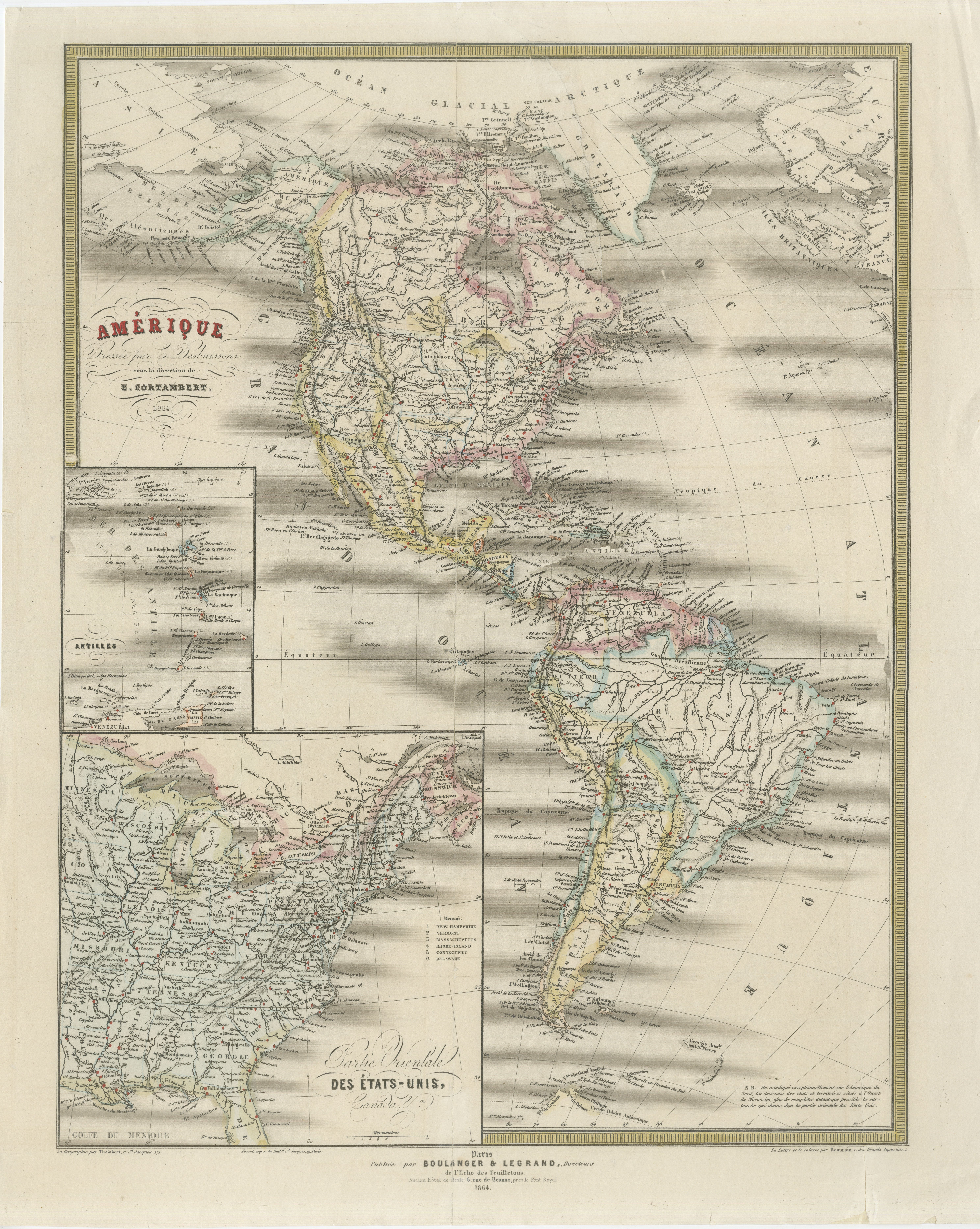
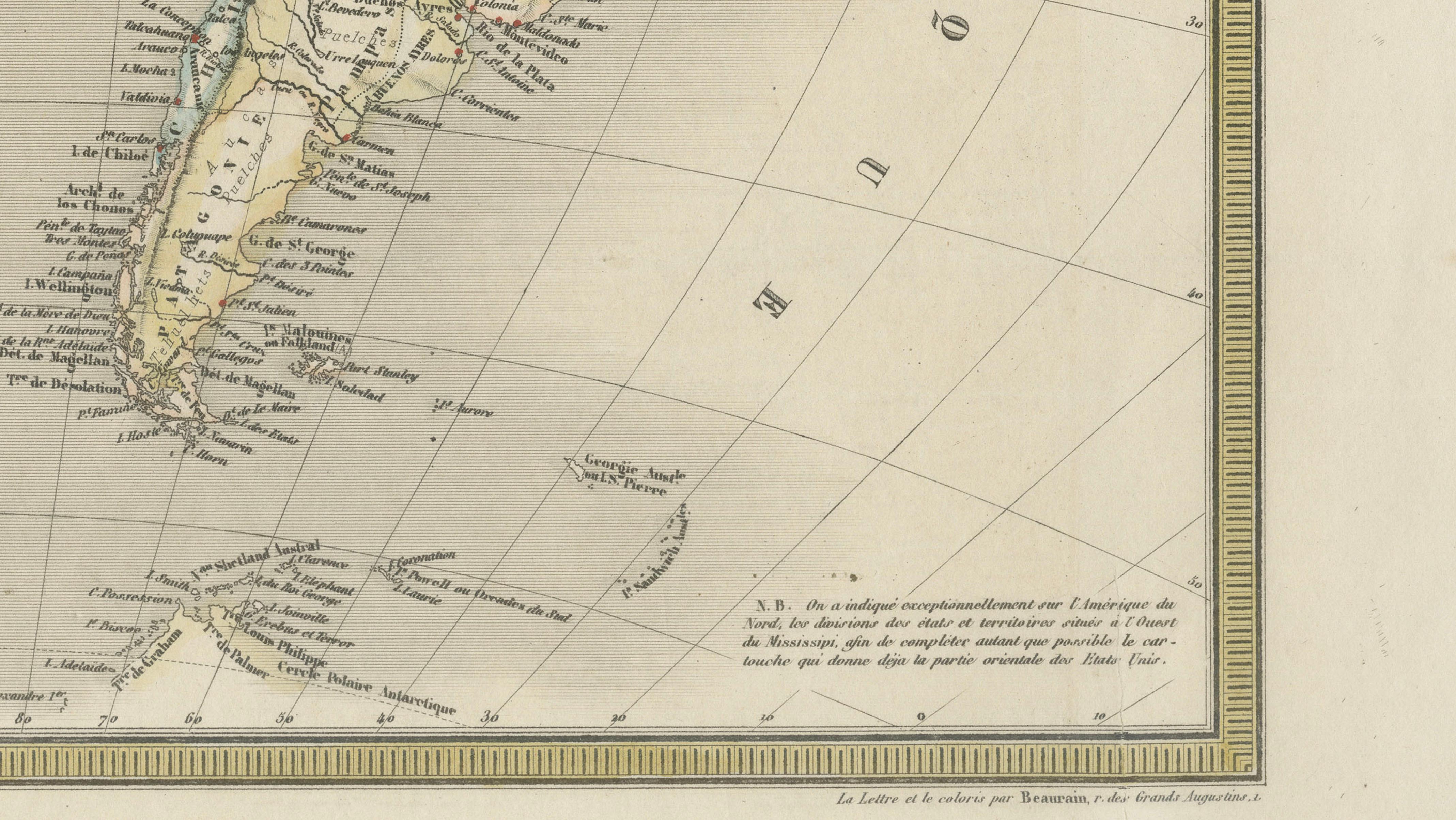
A detailed and elegant mid-19th century map of the Americas, published in Paris in 1864 under the direction of the French geographer Eugène Cortambert. Titled “Amérique divisée pour les divisions sous la direction de M. Cortambert,” this large-format educational and decorative map presents both North and South America in fine engraved detail, with original outline hand coloring distinguishing national and regional borders.
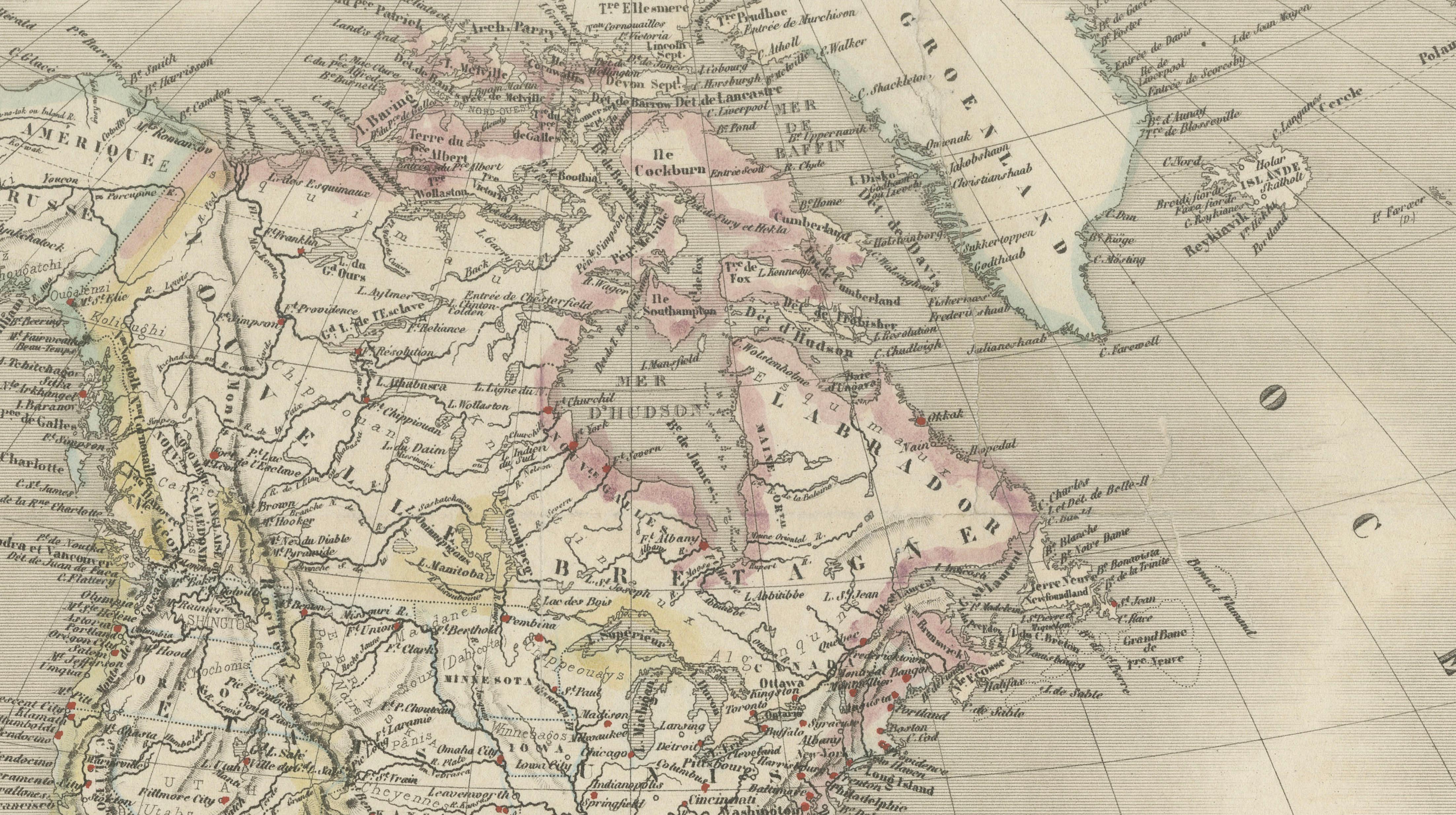
The map reflects the geopolitical landscape of the Americas during a transformative period in world history. In North America, the United States is shown during the American Civil War era, with territorial divisions and railway developments still evolving. Canada appears in its pre-Confederation form, while Mexico and Central America retain numerous historical provincial boundaries. South America is richly detailed with rivers, mountain chains, colonial cities, and coastal ports carefully engraved throughout the continent.
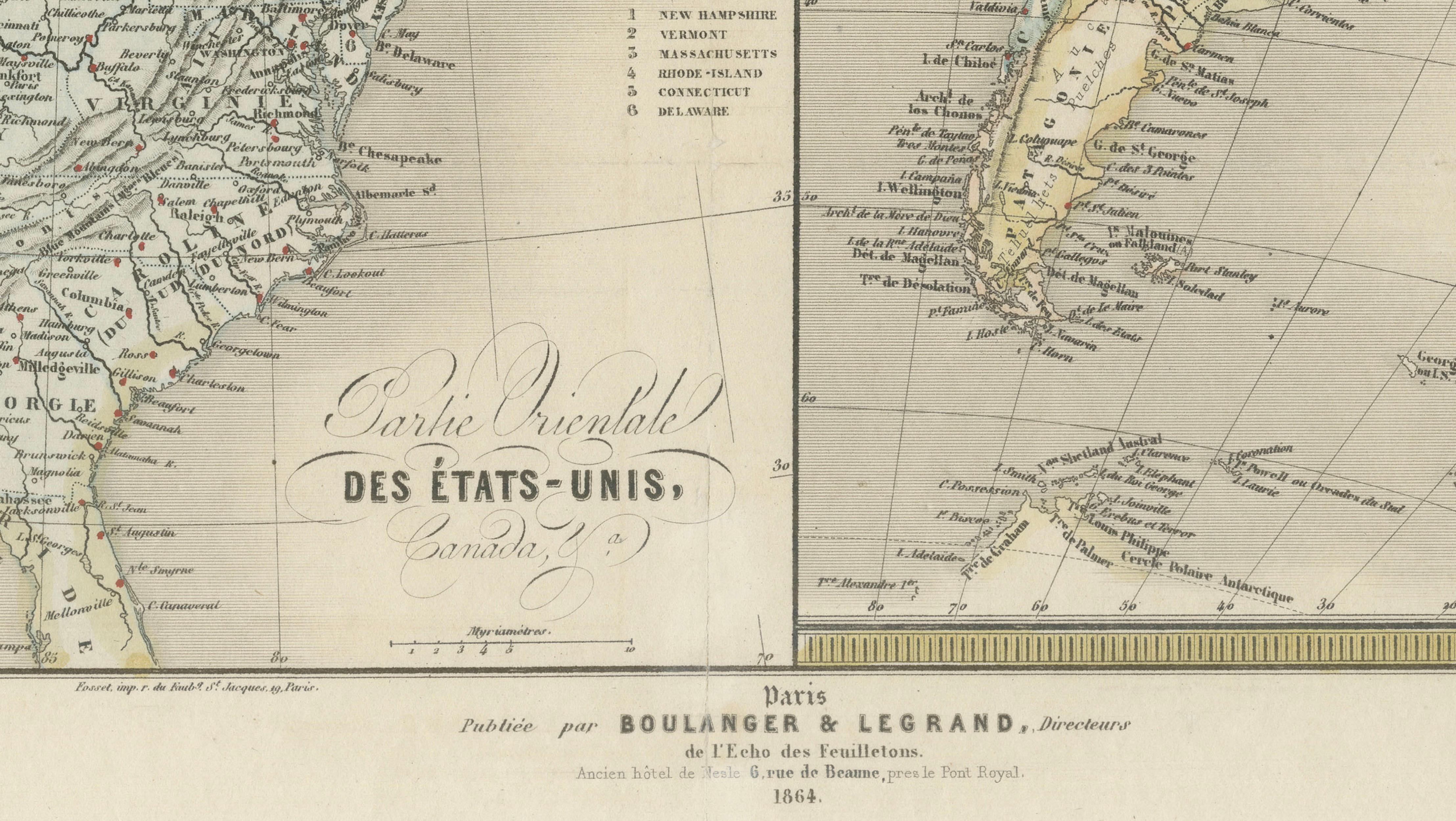
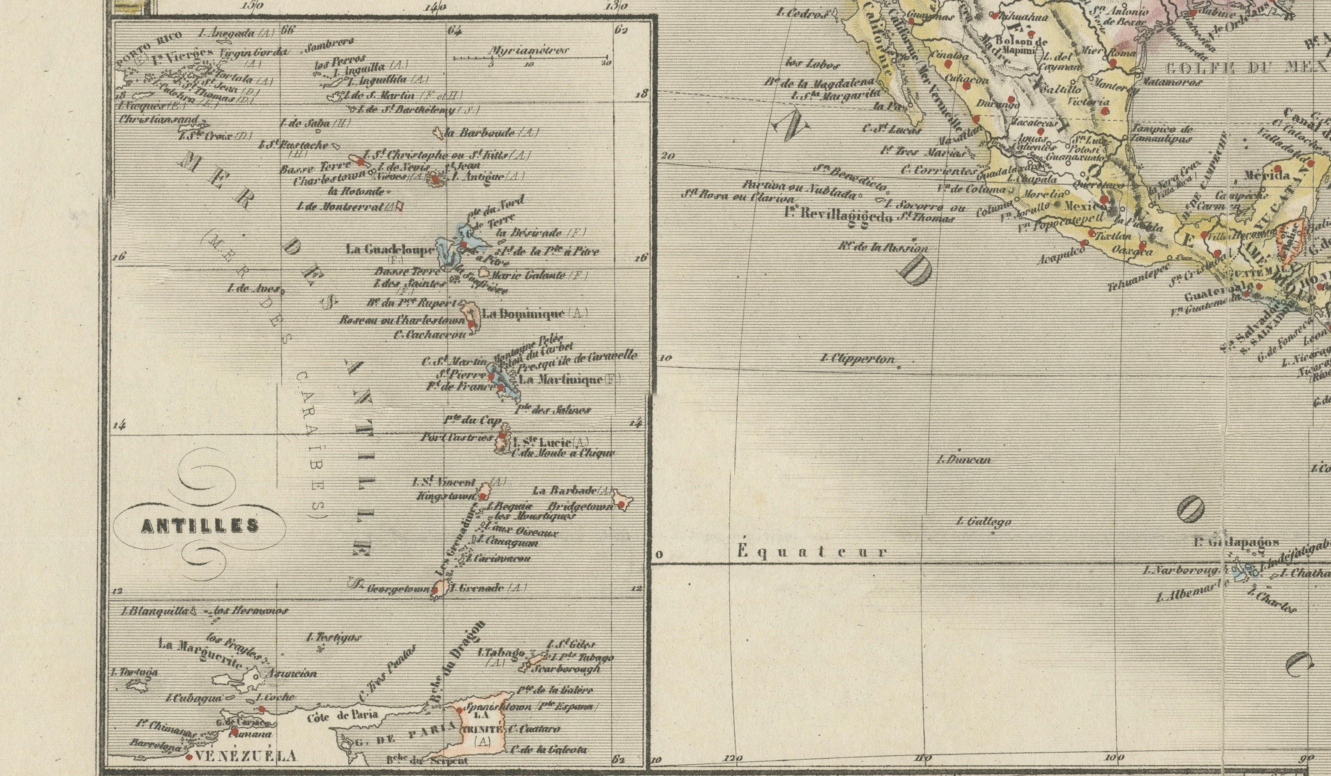
An inset map titled “Partie Orientale des États-Unis et du Canada” provides a closer examination of the densely populated eastern United States and southeastern Canada, including the Great Lakes region and the Atlantic seaboard. Another inset focuses on the Antilles and Caribbean islands, emphasizing important maritime and colonial routes of the 19th century.
The engraving style is refined and highly characteristic of French cartographic publishing of the Second Empire period. Fine hachuring, delicate typography, and restrained pastel hand coloring create a sophisticated visual appearance suitable for both collectors and interior display. The decorative title cartouches add further elegance without overwhelming the geographic content.
Note: This map is an original antique engraving, not a reproduction. All items we offer are authentic period works of art over 100 years old. The piece is sold unframed; any framed images are shown for presentation and interior inspiration only and may not always be to scale.
This map would display beautifully in a study, library, or travel-inspired interior. Its tall vertical composition makes it particularly suitable for framing with a wide ivory mat and a dark walnut, ebonized, or gilt frame in a classic European style.
Condition: Fair to Good condition overall, with visible wear but mostly out of the image area along the edges. The map has been professionally backed with a new support backing for stabilization and display purposes. Some creasing and restoration visible consistent with age and use.
Technique: Original engraving with original outline hand color
Maker: Eugène Cortambert, Paris, 1864