French Map of Europe by Cortambert – Russia, Scandinavia & Balkans, 1864
€ 379
Original antique · The actual sheet photographed · Certificate of authenticity on request · Sold unframed · Worldwide shipping from € 15 (rates)
Date
1864
Mapmaker / artist
Eugène Cortambert, Paris, 1864
Technique
Original engraved map with original outline hand color
Sheet size
42.5 × 52.7 cm (16.7 × 20.7 in)
Condition
Fair
Reference
BG-13384-18
What the condition grades mean
Excellent
Bright and clean, with no faults worth mentioning.
Very good
Only light signs of age, such as faint toning.
Good
Normal signs of age for a sheet of this period: toning, some foxing, small marks or neat old repairs.
Fair
Clear faults such as staining, tears or repairs, priced to match.
Every fault we see is written in the condition note, and the whole sheet is shown uncropped in the photos.
Condition
Condition overall with creases and tears around the edges. Image mostly intact with a few repaired tears and ready to be framed. The map has been professionally backed with new support backing for stabilization and display purposes.
About this sheet
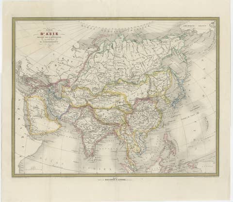
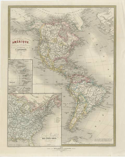
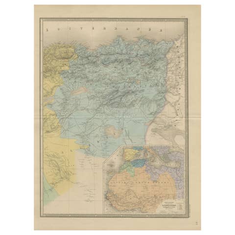
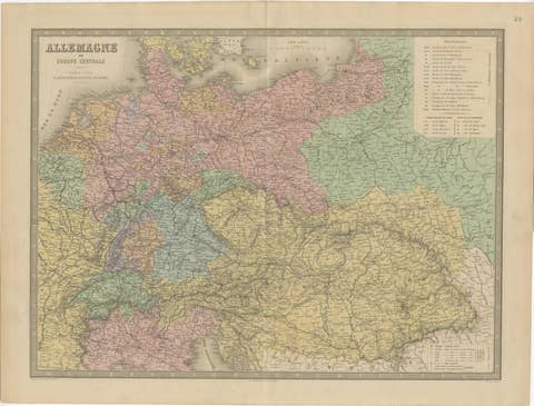
French Map of Europe by Cortambert – Russia, Scandinavia & Balkans 1864
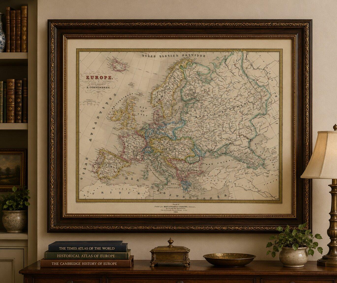
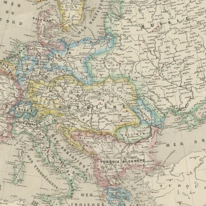
A large and finely detailed antique map of Europe published in Paris in 1864 under the direction of the French geographer Eugène Cortambert. This elegant mid-19th century map presents the European continent during a period of major political transformation, only a few years before the unification of Germany and Italy reshaped the map of Europe.
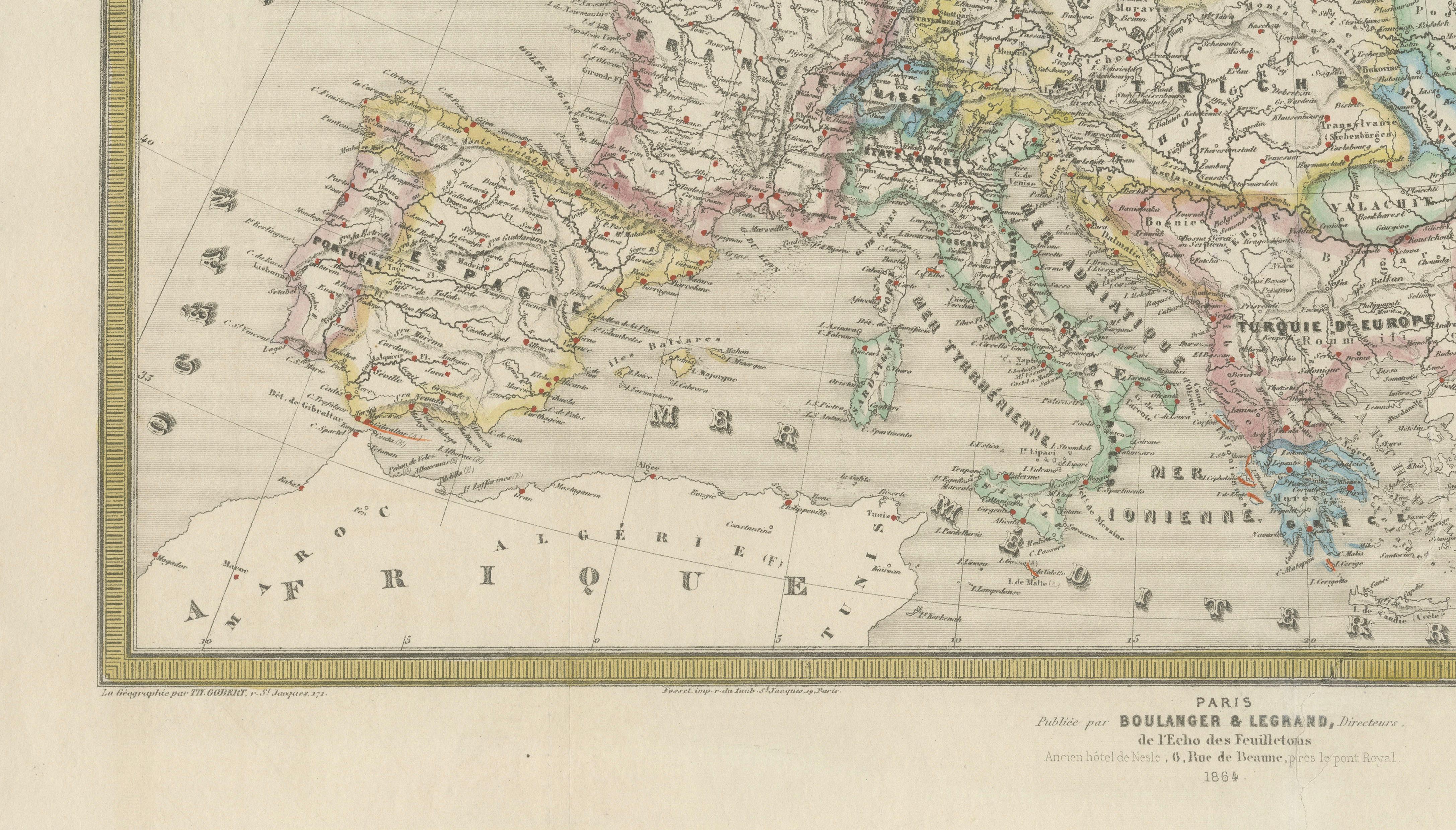
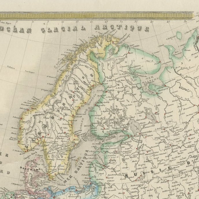
The map extends from Iceland and the British Isles in the northwest to the Russian Empire and the fringes of western Asia in the east. Scandinavia, Central Europe, the Balkans, and the Mediterranean are all rendered in refined engraved detail with original outline hand coloring highlighting national and regional boundaries.
Particularly interesting are the many historical states and territories shown before later national consolidations. The German-speaking regions remain divided into numerous kingdoms and principalities, while the Austro-Hungarian sphere of influence dominates Central Europe. The Ottoman Empire still retains territory in southeastern Europe, and the vast Russian Empire occupies much of the eastern section of the map.
The engraving style is delicate and highly characteristic of French educational atlas production of the Second Empire period. Elegant typography, finely engraved coastlines, and restrained pastel hand coloring give the map a sophisticated decorative quality suitable for both collectors and interior display.
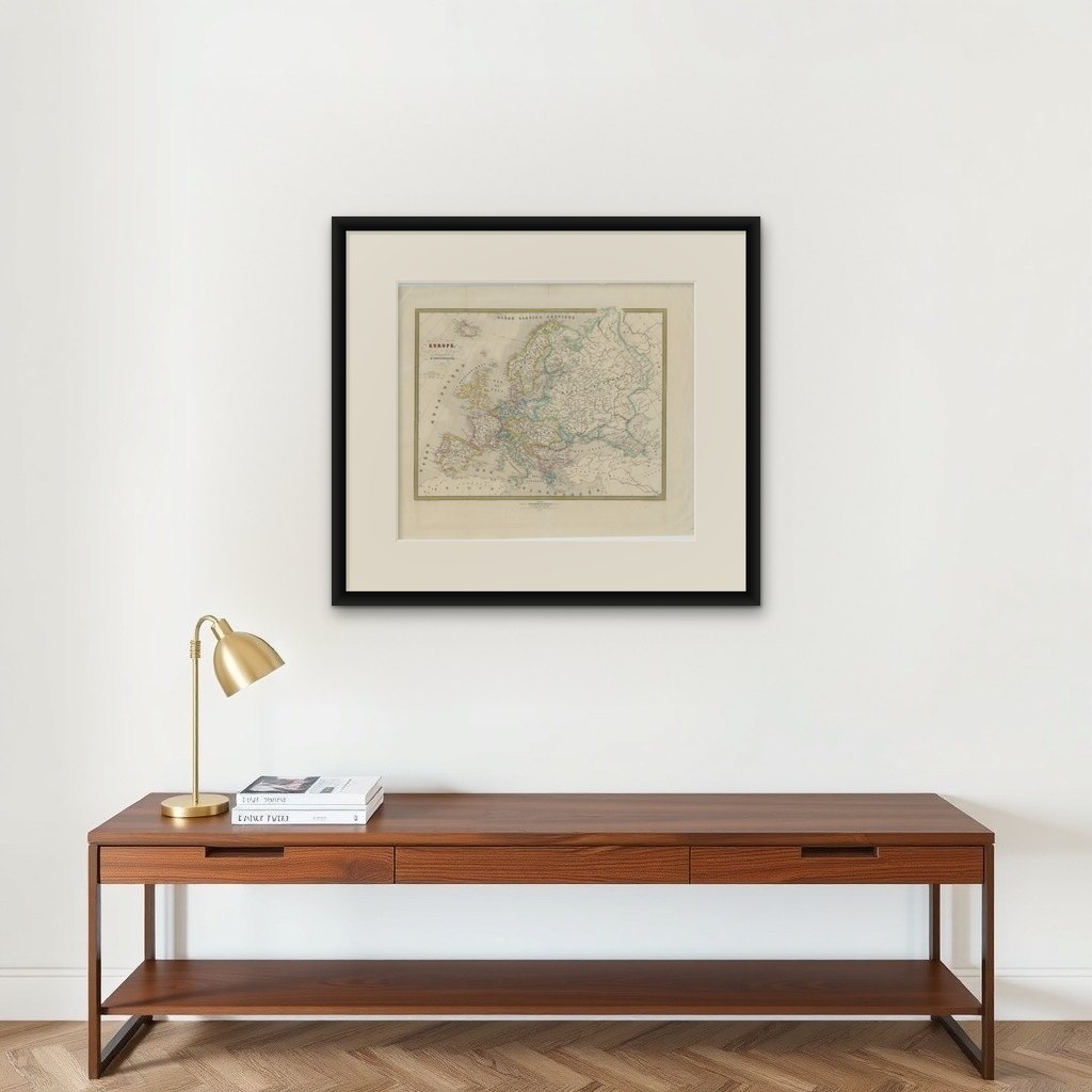
Its large format and balanced composition make it especially attractive for framing in a study, library, office, or classic European interior. The muted palette pairs beautifully with dark walnut, ebonized, or gilt frames combined with a wide ivory mat.
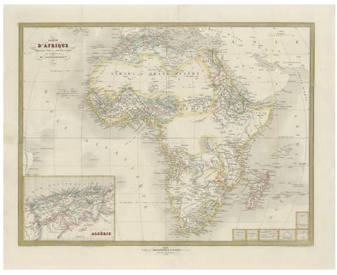
Note: This map is an original antique engraving, not a reproduction. The piece is sold unframed; any framed images are shown for presentation and interior inspiration only and may not always be to scale.