About this sheet
Title (max. 80 characters)

Antique Map of France by Alexandre Vuillemin – Road Map c.1850
Description
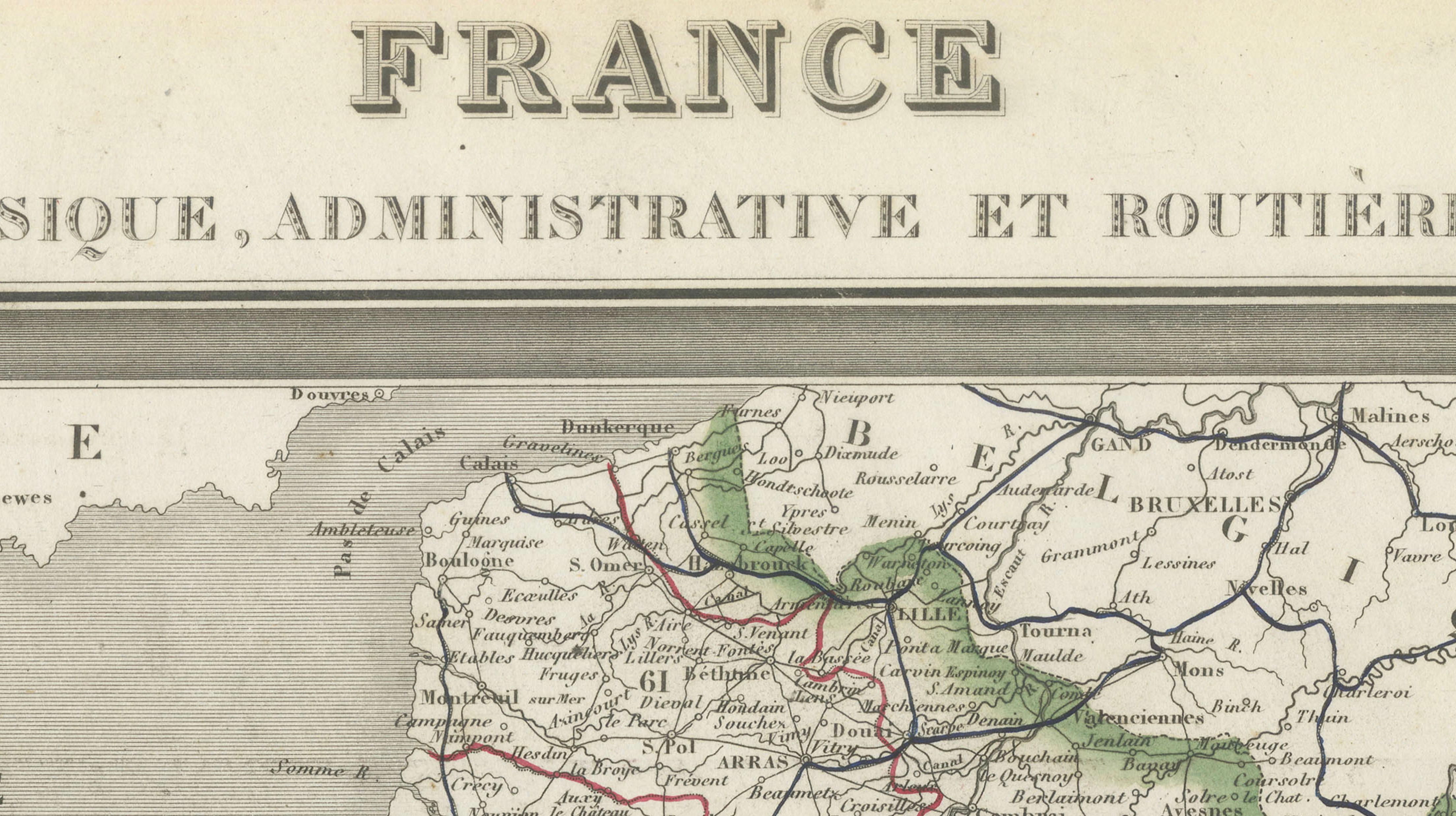
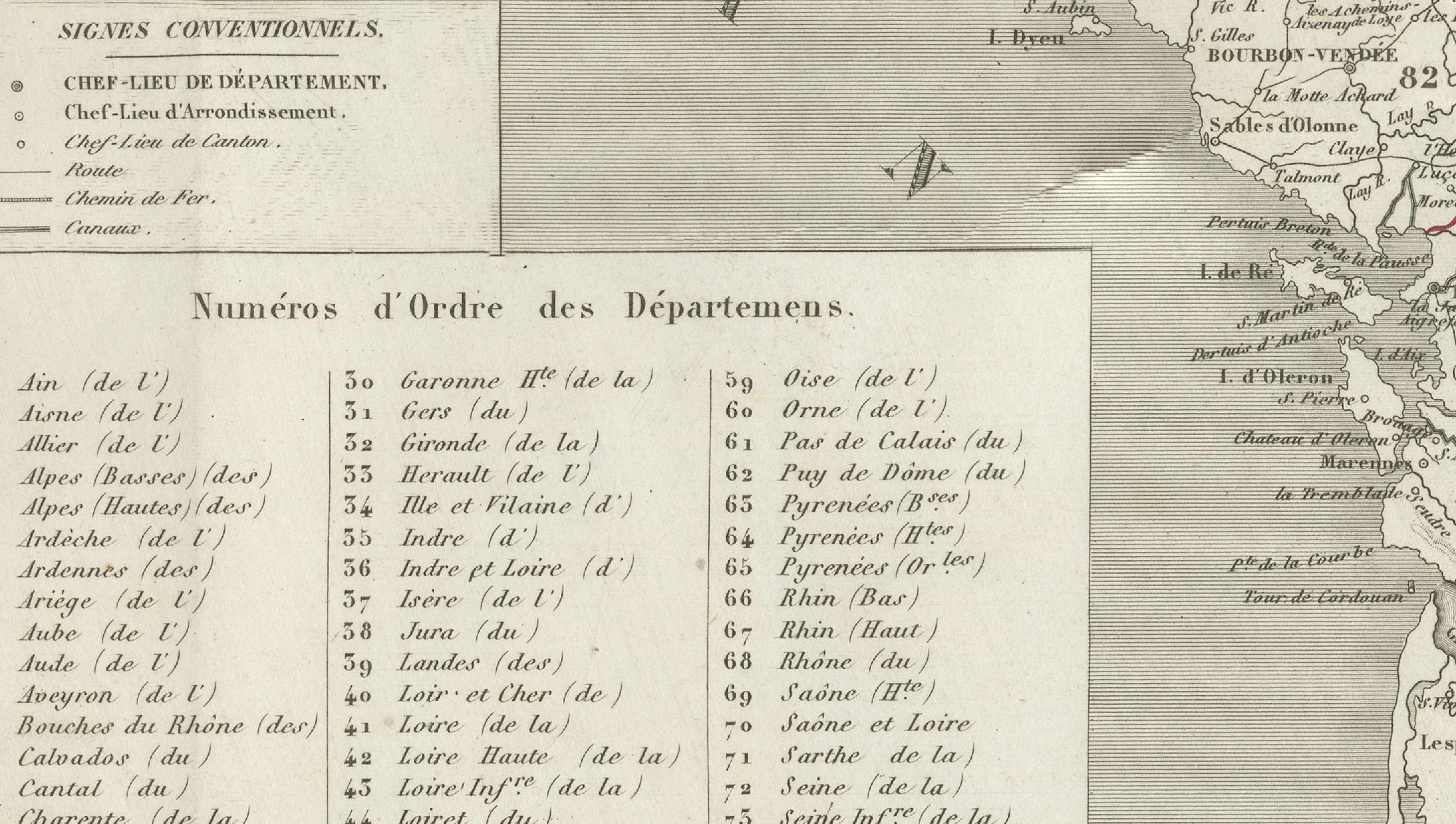
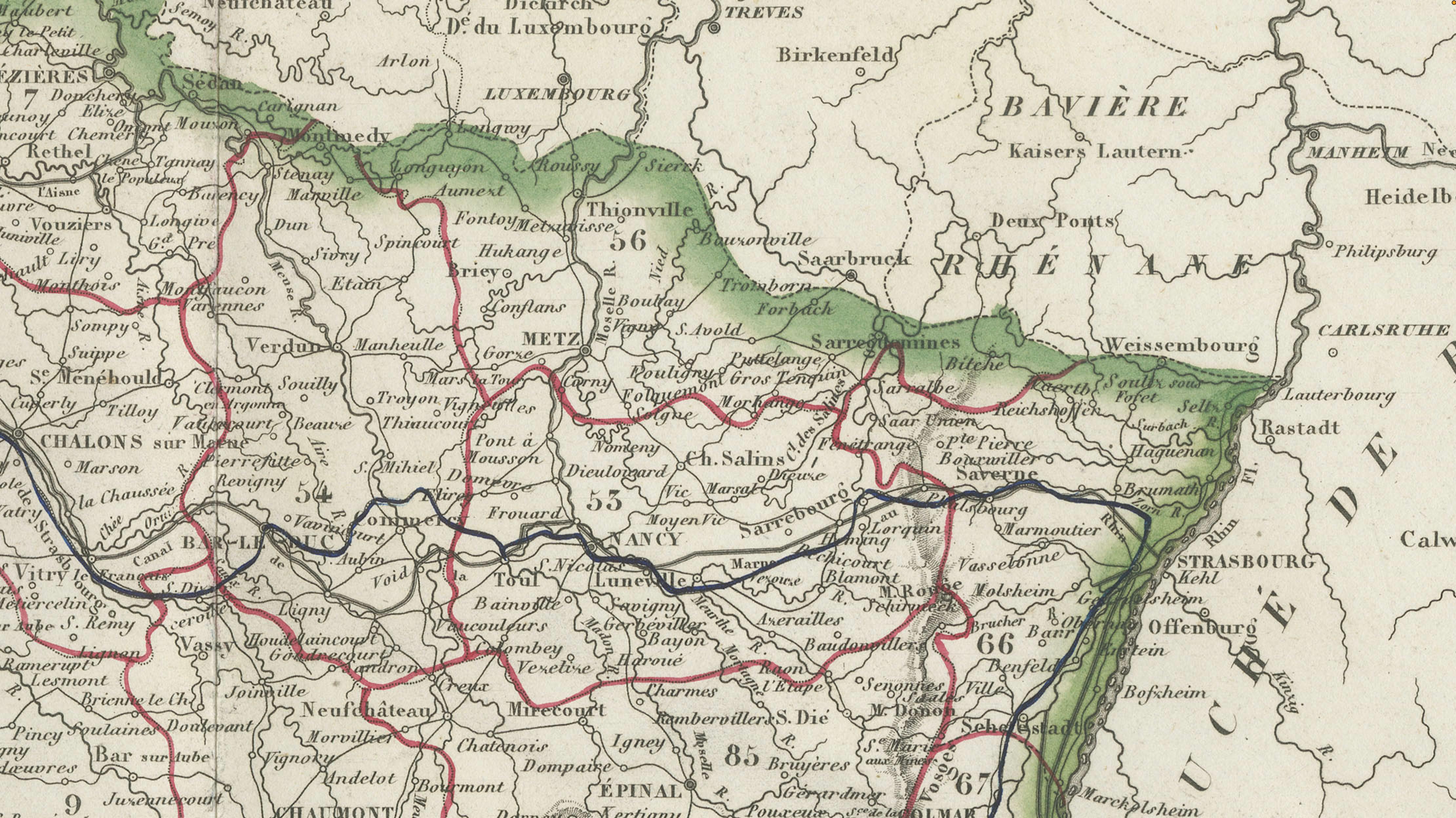
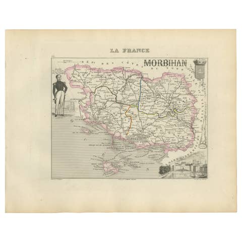
A finely engraved antique map of France, published by Alexandre Vuillemin in Paris around 1850 as part of his celebrated atlas La France Illustrée. This detailed national map presents France from a physical, administrative, and road network perspective ("Physique, Administrative et Routière"), illustrating the country's expanding transportation system during the early railway era.
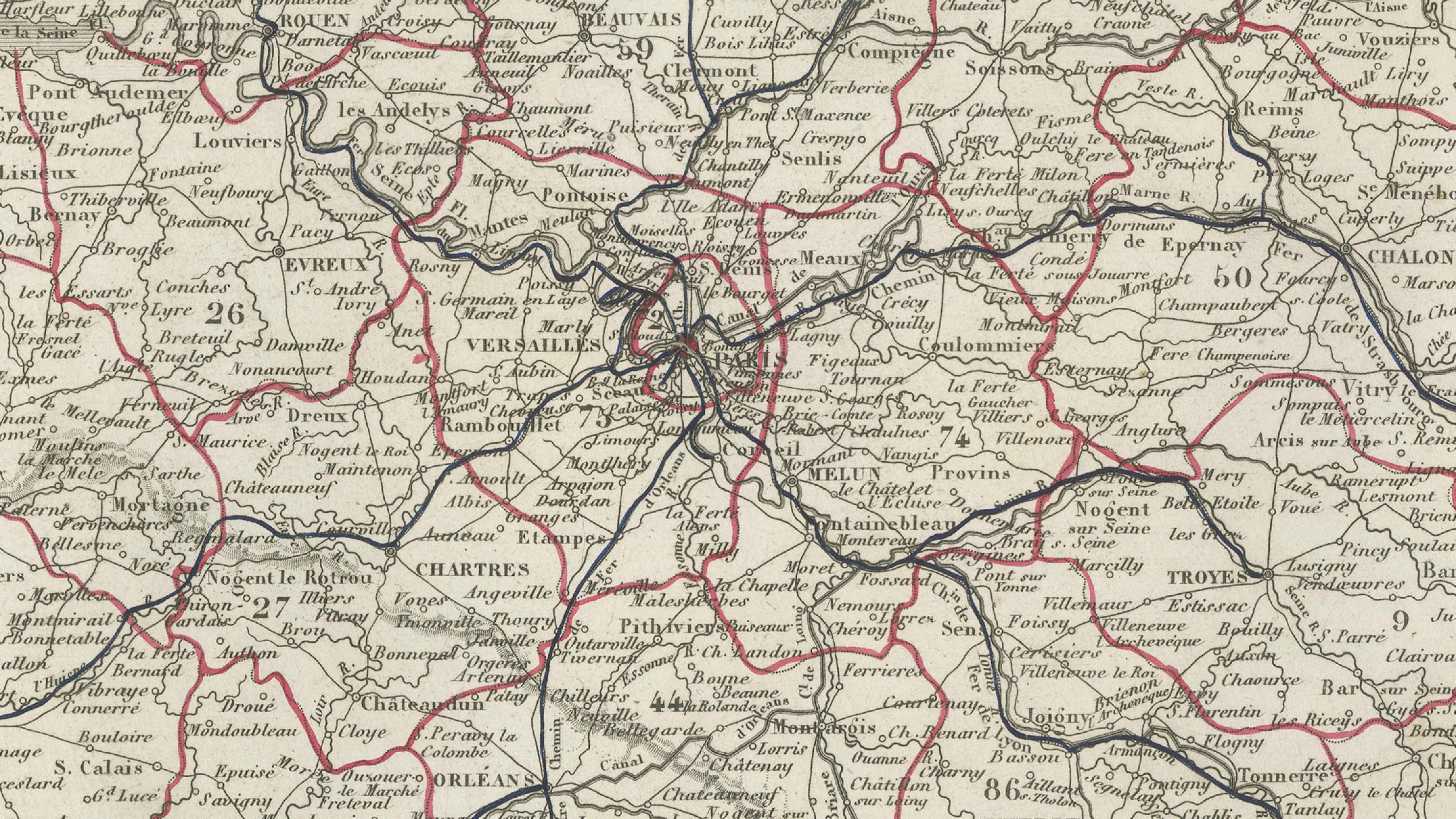
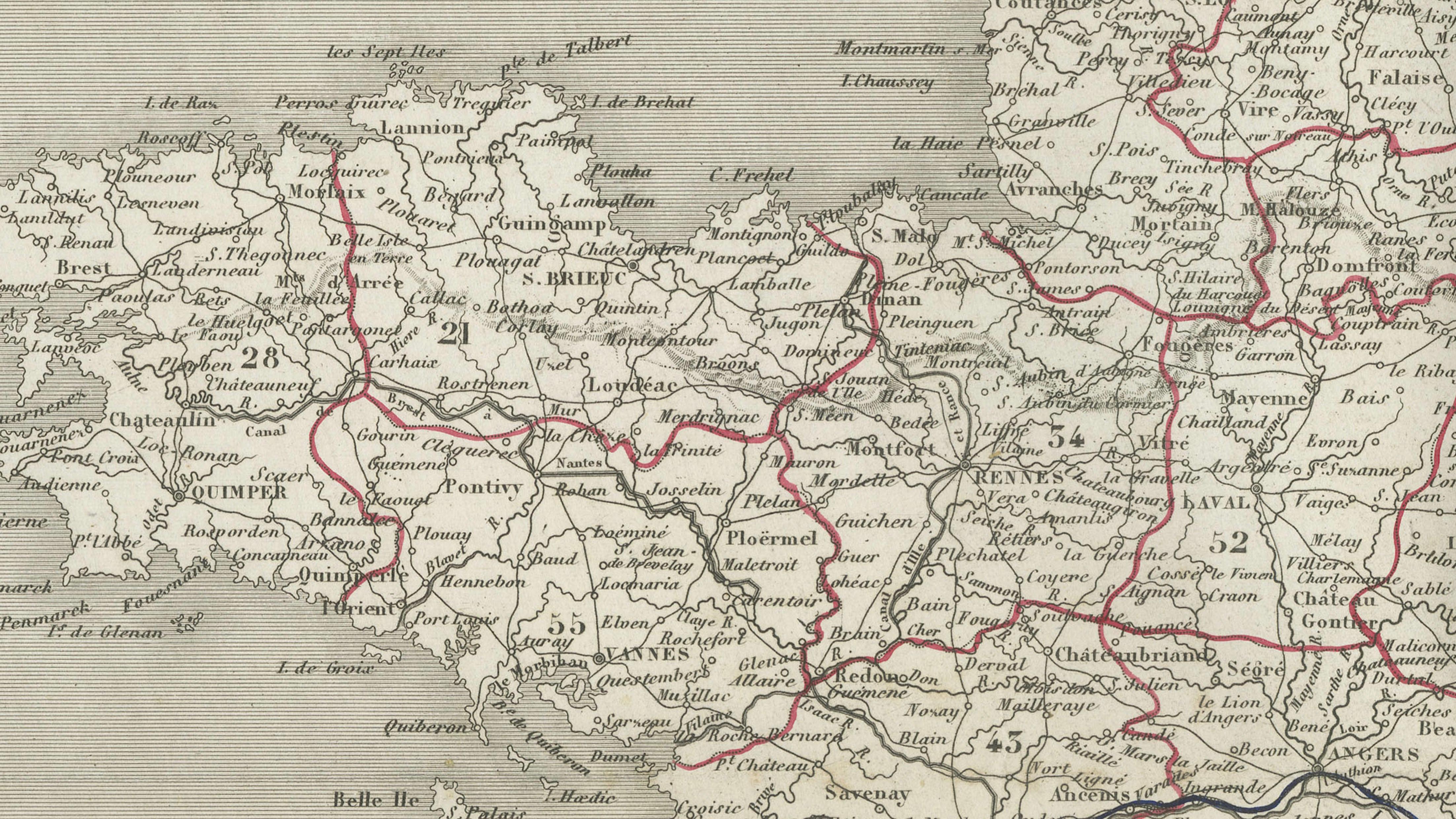
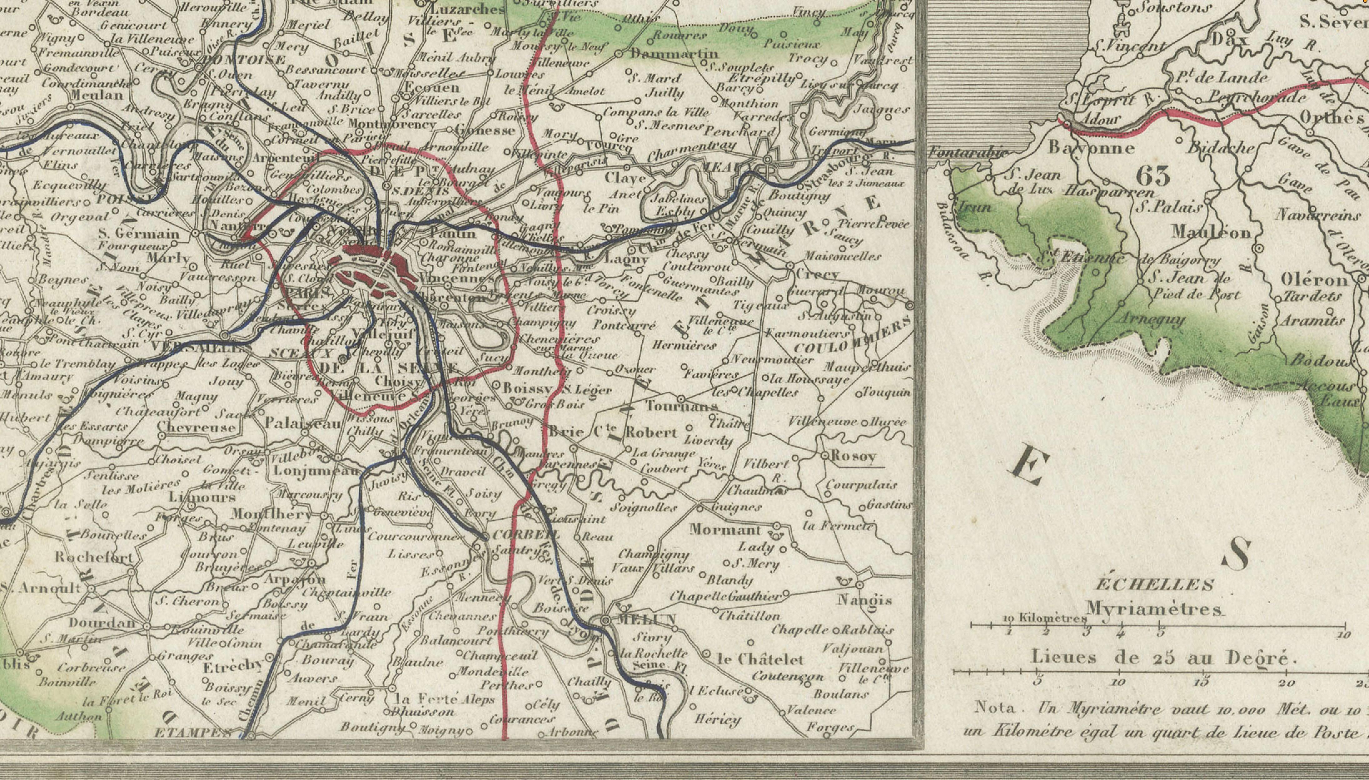
The map features departmental boundaries, principal roads, major rivers, mountain ranges, and numerous towns and cities throughout France. Railway lines are clearly distinguished from the road network, offering a fascinating snapshot of the country's infrastructure during the reign of Napoleon III. Insets include a detailed map of the Paris region and a separate map of Corsica.
Vuillemin's maps are admired for their accuracy, elegant engraving, and historical importance, making them highly desirable decorative and collectible maps of nineteenth-century France.
France remains one of the world's great cultural and gastronomic destinations. The regions shown include many of the country's most celebrated wine areas such as Bordeaux, Burgundy (Bourgogne), Champagne, Alsace, the Loire Valley, the Rhône Valley, Beaujolais, Provence and Languedoc. Famous regional specialties include Champagne, Bordeaux wines, Burgundy wines, Chablis, Cognac, Armagnac, Roquefort, Camembert, Brie, Comté, Dijon mustard, and truffles from Périgord.
Maker: Alexandre Vuillemin (1812–1880)
Publisher: Migeon, Paris
Date: Circa 1850
Technique: Steel engraving with original outline hand coloring
Origin: France
Condition
Good condition for its age. Original folds as issued. Mild age-related toning, occasional light foxing, and minor wear consistent with use. One small tear in left margin. Please study the images carefully.
Keywords
France, Carte de France, Alexandre Vuillemin, Migeon, Paris, French map, antique map, railway map, road map, administrative map, physical map, Paris, Corsica, Bordeaux, Burgundy, Bourgogne, Champagne, Loire Valley, Rhône Valley, Provence, Alsace, Languedoc, Normandy, Brittany, Cognac, Armagnac, Chablis, Beaujolais, Dijon, Lyon, Marseille, Toulouse, Nantes, Strasbourg, Bordeaux wine, Burgundy wine, French history, 19th century cartography, original antique map.