Antique Maps of Europe
631 original sheets
Western Europe 1908Northern Europe 146Central Europe 88Eastern Europe 102South-East Europe 135Southern Europe 275Europe as a Whole 169
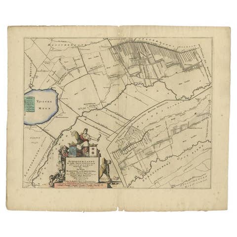
Antique Map of the Schoterland Township, Friesland by Halma, 1718
1718 · € 335
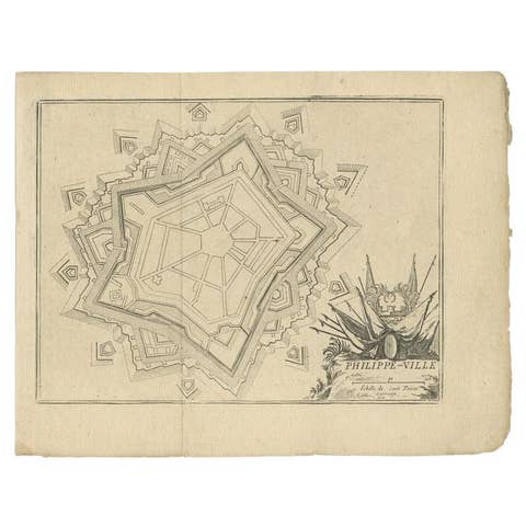
Antique Plan of Philippeville in Wallonia, Belgium, 1769
1769 · € 120
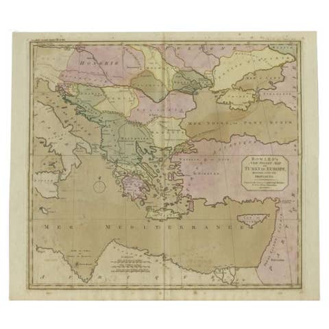
Antique Map of Turkey in Europe, c.1780
1780 · € 490

Antique Map of Upper Saxony in Germany by Tirion, circa 1740
1740 · € 480

Detailed Original Antique Map of Turkey in Europe, circa 1740
1740 · € 340
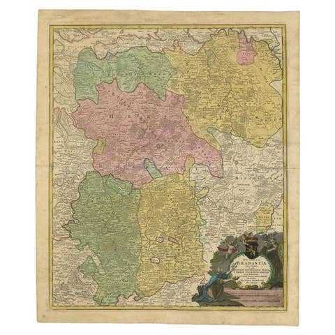
Antique Map of Vlaams-Brabant by Homann Heirs, c.1720
1720 · € 328
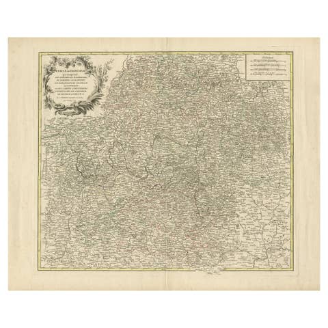
Antique Map of the Circle of Franconia, 1757
1757 · € 680
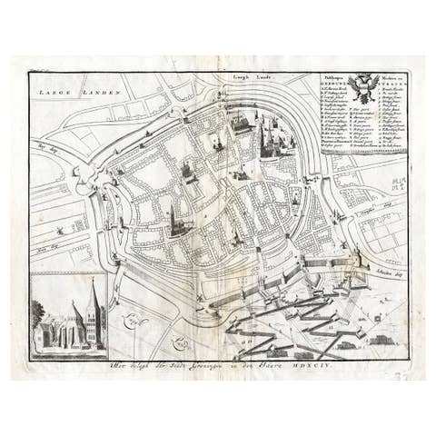
Antique Map of the Siege of Groningen by Le Clerc, 1730
1730 · € 150
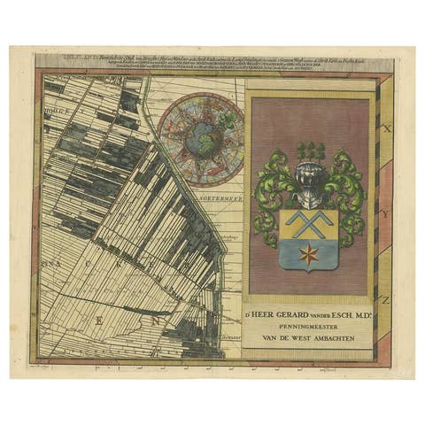
Large Antique Map of Delfland by Cruquius, 1712
1712 · € 740
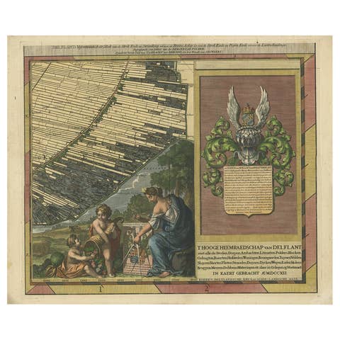
Antique Map of Delfland by Cruquius, 1712
1712 · € 740
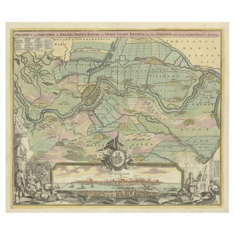
Antique Map of Bremen by J.B. Homann, Panoramic View, Circa 1720
1720 · € 1 350
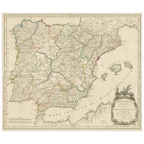
Large Antique Map of Ancient Spain and Portugal, Published in circa 1760
1760 · € 440
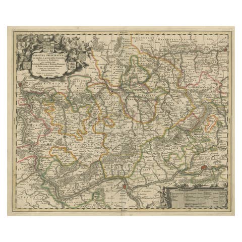
Antique Map of the Nassau Region in Western Germany, ca.1720
1720 · € 660
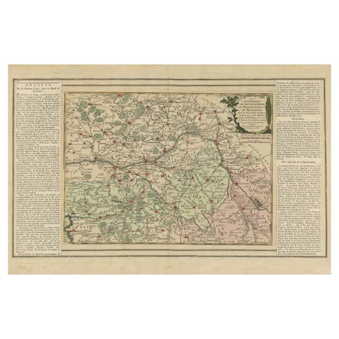
Old Map of Part of France: Poitou, Berry, Bourbonnais, and Nivernais in 1768
1768 · € 360
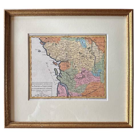
Original Antique Map of West Central France in Frame, 1748
1748 · € 290
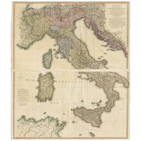
Very Large Double Page Detailed Map of Italy and Surrounding Regions, 1794
1794 · € 1 990
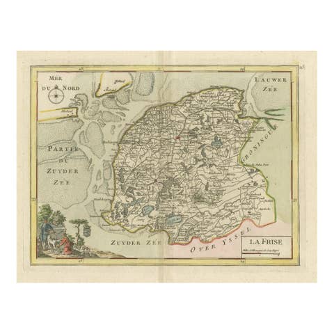
Map of Friesland (La Frise), from "Atlas Nouveau Portatif" (1756)
1756 · € 290
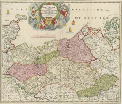
Antique Map of Mecklenburg-Vorpommern in Germany by J.B. Homann, c.1720
1720 · € 540
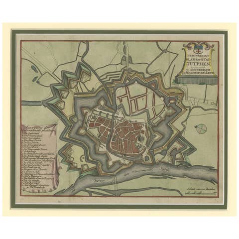
Detailed Plan of the City of Zutphen, The Netherlands – Hendrik de Leth, c.1740
1740 · € 480
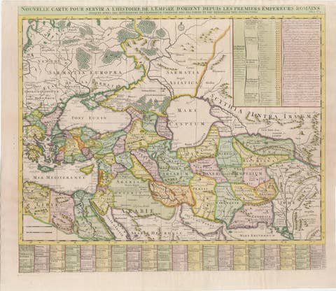
18th-Century Map of the Eastern Roman Empire by Henri Chatelain, c. 1719
1719 · € 1 200

1792 Hand-Colored Plan of St. Petersburg and Moscow in Russia
1792 · € 390
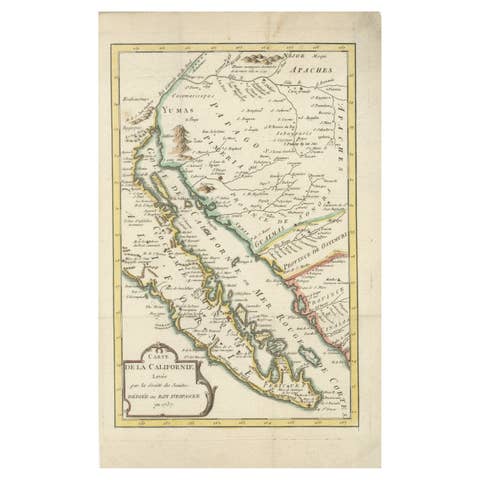
Rare 1757 Jesuit Map of California and Baja, Dedicated to the King of Spain
1757 · € 880
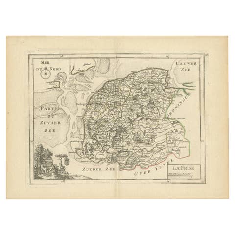
Map of Friesland (La Frise), from a French Atlas - circa 1756
1756 · € 240
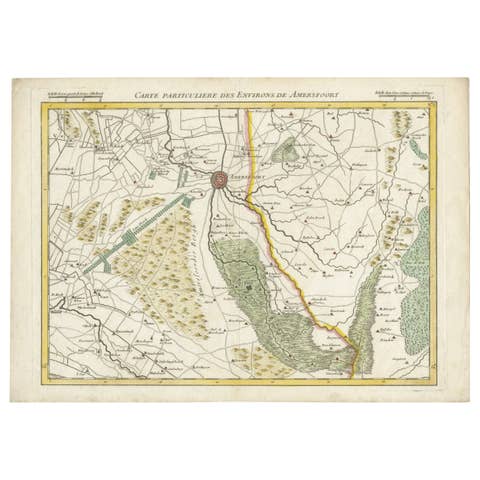
Map of Amersfoort and Surroundings by Covens & Mortier, published in 1747
1747 · € 240
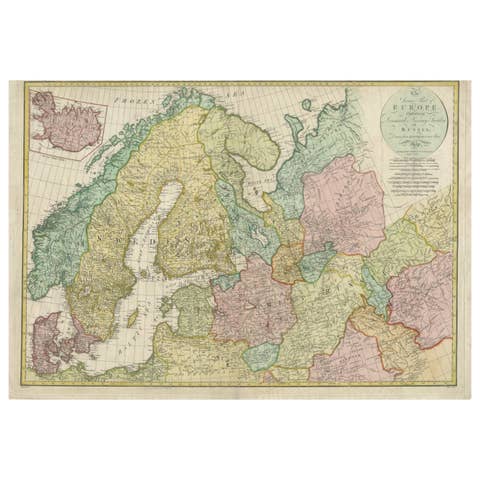
Historical Map of Northern Europe and Russia - Engraved for I. Harrison, 1788
1788 · € 840
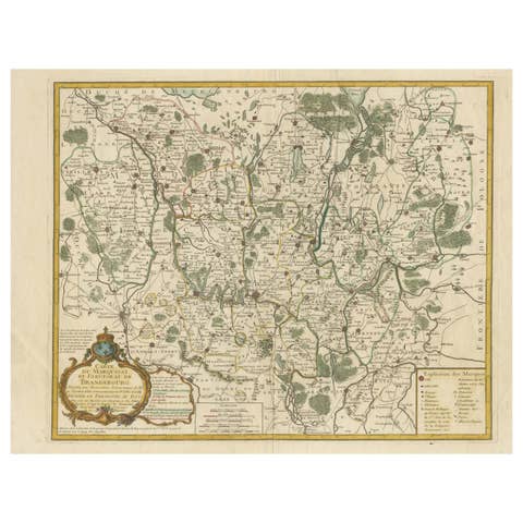
Map of the Margraviate and Electorate of Brandenburg by de Beaurain - ca.1750
1750 · € 540
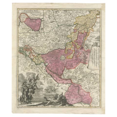
Historical Map of the Duchy of Lauenburg by Johann Baptist Homann - Circa 1720
1720 · € 540
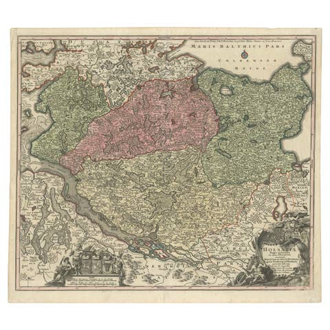
Historical Map of Holstein - Copperplate Engraving by Matthias Seutter, ca. 1730
1730 · € 540
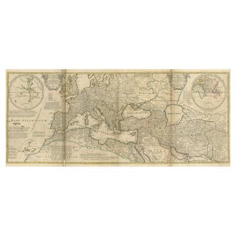
Rare 1730 Roman Empire Map by Moll - Detailed and Engraved Masterpiece
1730 · € 1 400
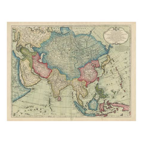
1723 Antique Map of Asia – Carte d’Asie by Guillaume Delisle, Paris
1723 · € 1 340
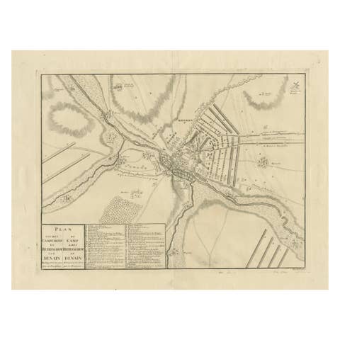
Detailed 1729 Battle Map – Allied Army Camp at Denain France, 1712 Siege
1729 · € 450
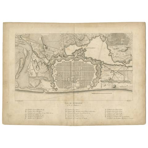
Plan of Pondicherry Fortifications and Attacks, France, c.1750
1750 · € 360
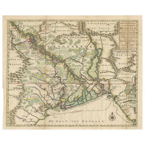
1726 Map of Bengal by Van der Aa after Valentijn – Dutch East Indies
1726 · € 770
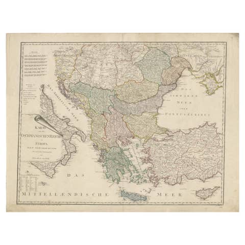
Ottoman Empire in Europe – Antique Map by Reilly, Vienna, 1796
1796 · € 1 460
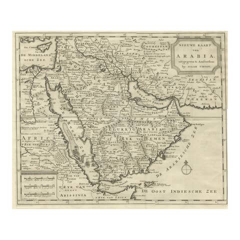
18th Century Map of Arabia – Tirion, Amsterdam c.1730
1730 · € 560
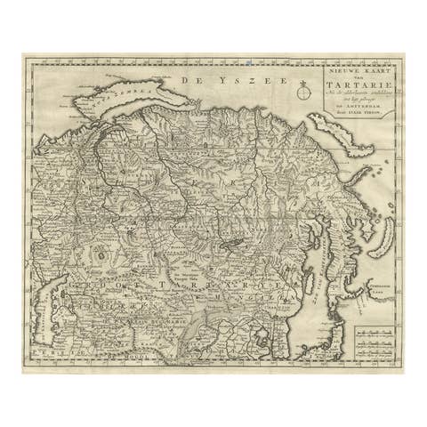
Antique Map of Tartary, Siberia & China – Tirion, Amsterdam c.1730
1730 · € 540
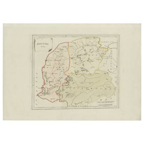
Rare 1791 von Reilly Map of Friesland Province, Netherlands, 18th Century
1791 · € 340
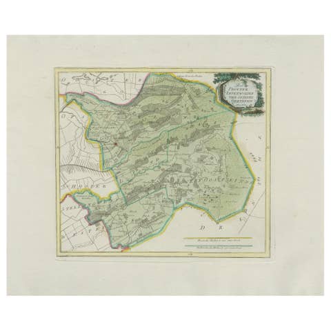
Rare Antique Hand-Colored Map of Eastern Friesland by von Reilly, 1791
1791 · € 440
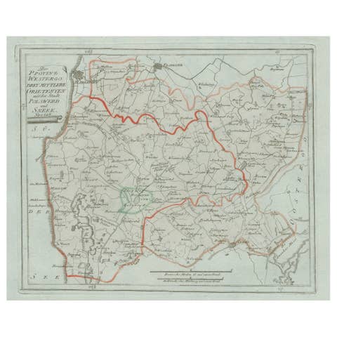
Antique Map of Sneek and Surroundings, Friesland by von Reilly, 1791
1791 · € 207
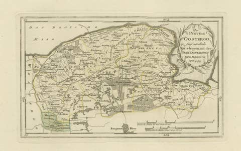
Antique Map of Leeuwarden and Dokkum, Friesland by von Reilly, 1791
1791 · € 360
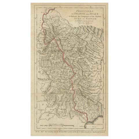
Frontiers of France and Italy – Duke of Berwick Campaigns Map, 1707–1712
1707 · € 370
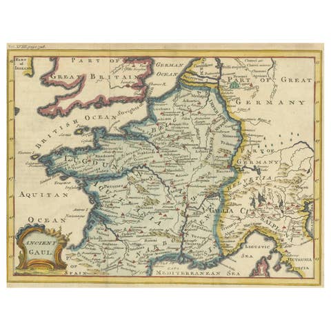
Hand-Colored Antique Map of Ancient Gaul, Roman Provinces, Circa 1748
1748 · € 370
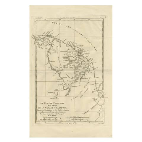
French Guiana & Suriname – Rigobert Bonne’s Colonial Map of the Guianas, c.1780
1780 · € 330
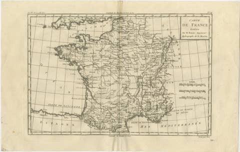
France at the Age of Enlightenment – Rigobert Bonne Antique Map, c.1780
1780 · € 310
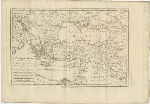
Antique Map of the Ottoman Empire, Turkey, Balkans & Middle East, Bonne, c.1780
1780 · € 385
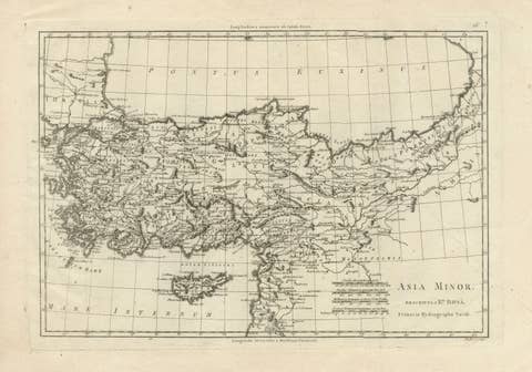
Asia Minor and the Ottoman Levant — Fine Bonne Map of Turkey, c.1780
1780 · € 595
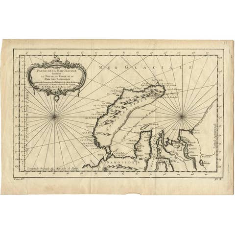
Antique Map of Nova Zembla ‘Russia’ by J.N. Bellin, 1758
1758 · € 240
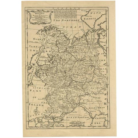
Antique Map of Moscovy 'Russia' by E. Bowen, 1747
1747 · € 320