About this sheet
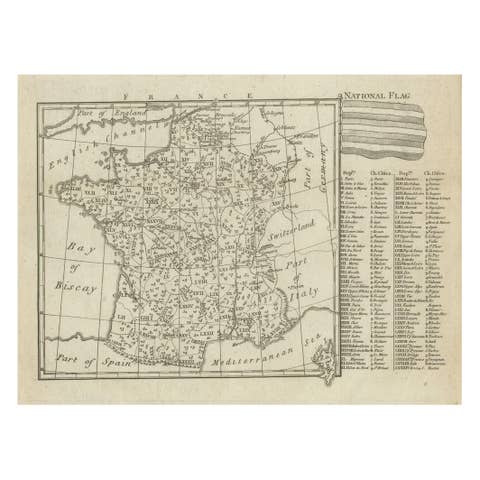
France at the Age of Enlightenment – Rigobert Bonne Antique Map, c.1780
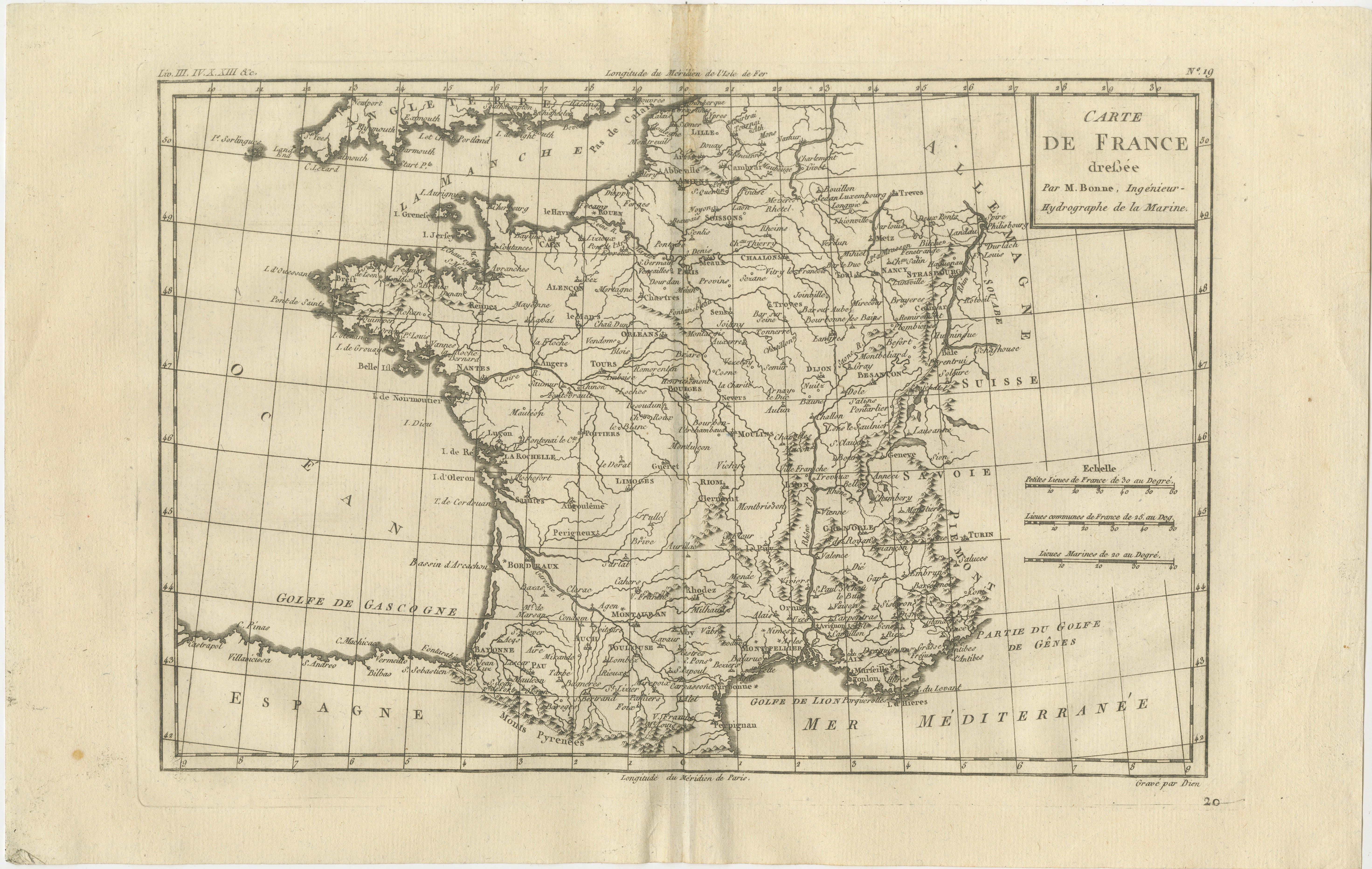
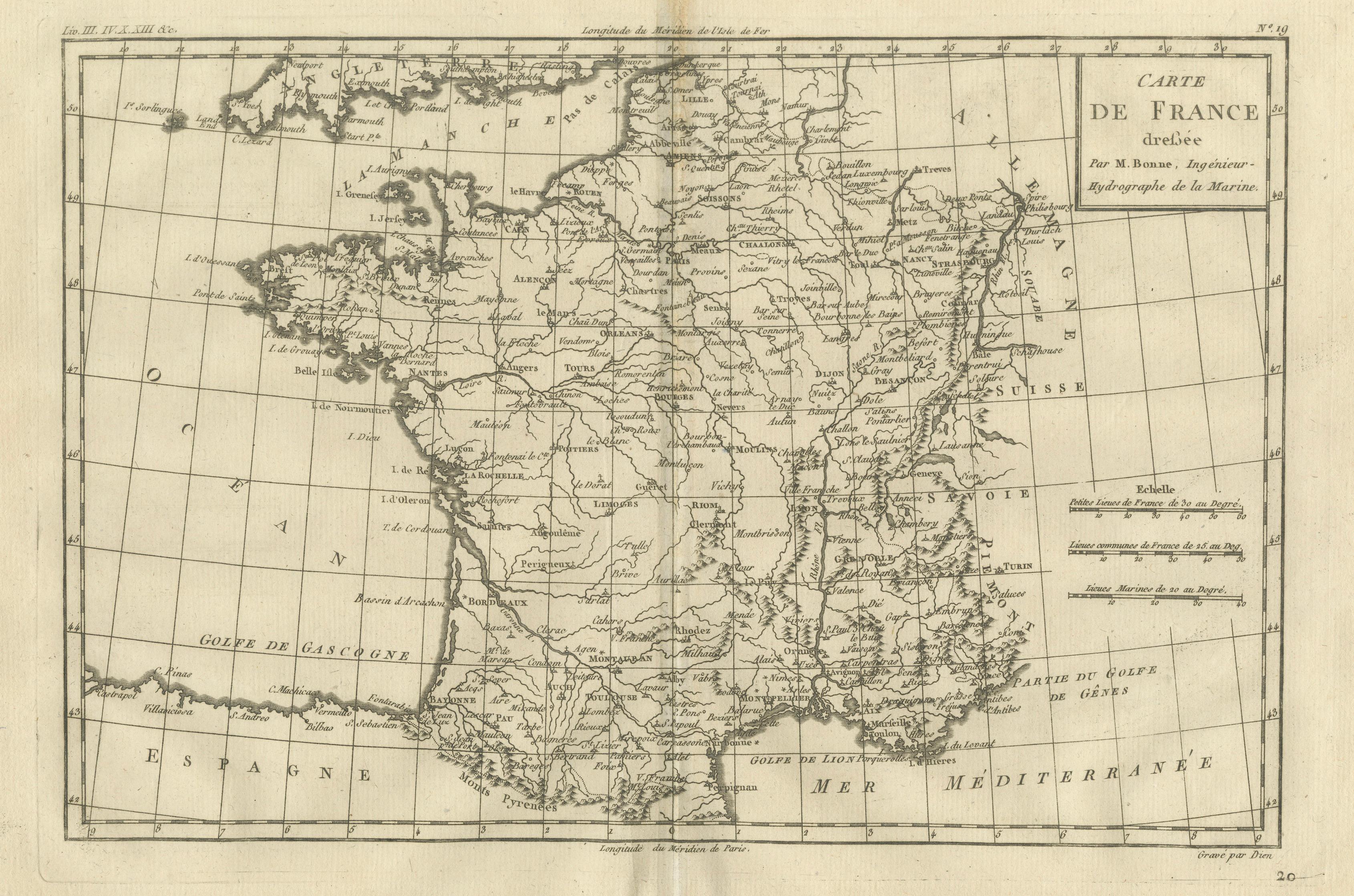
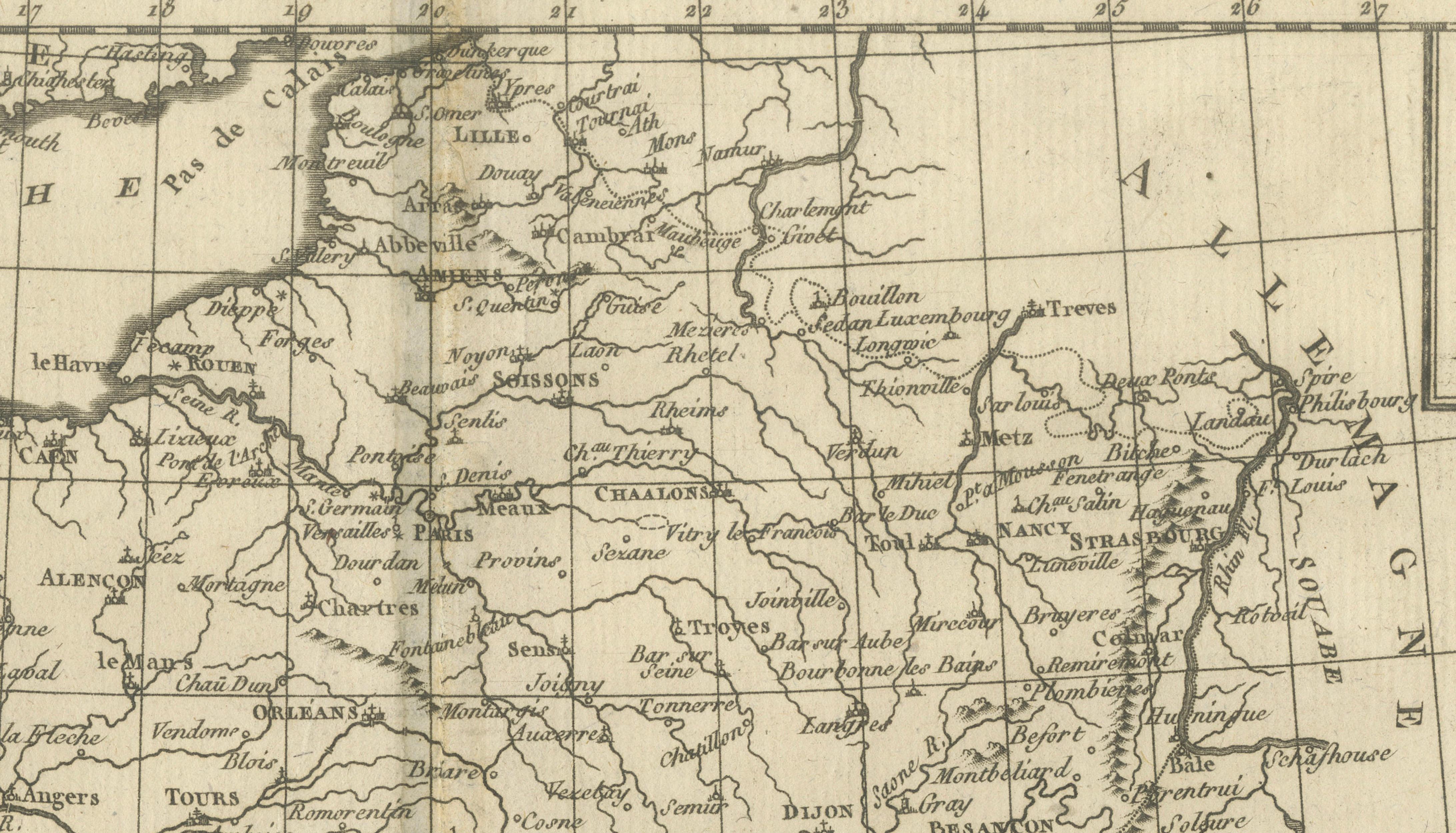
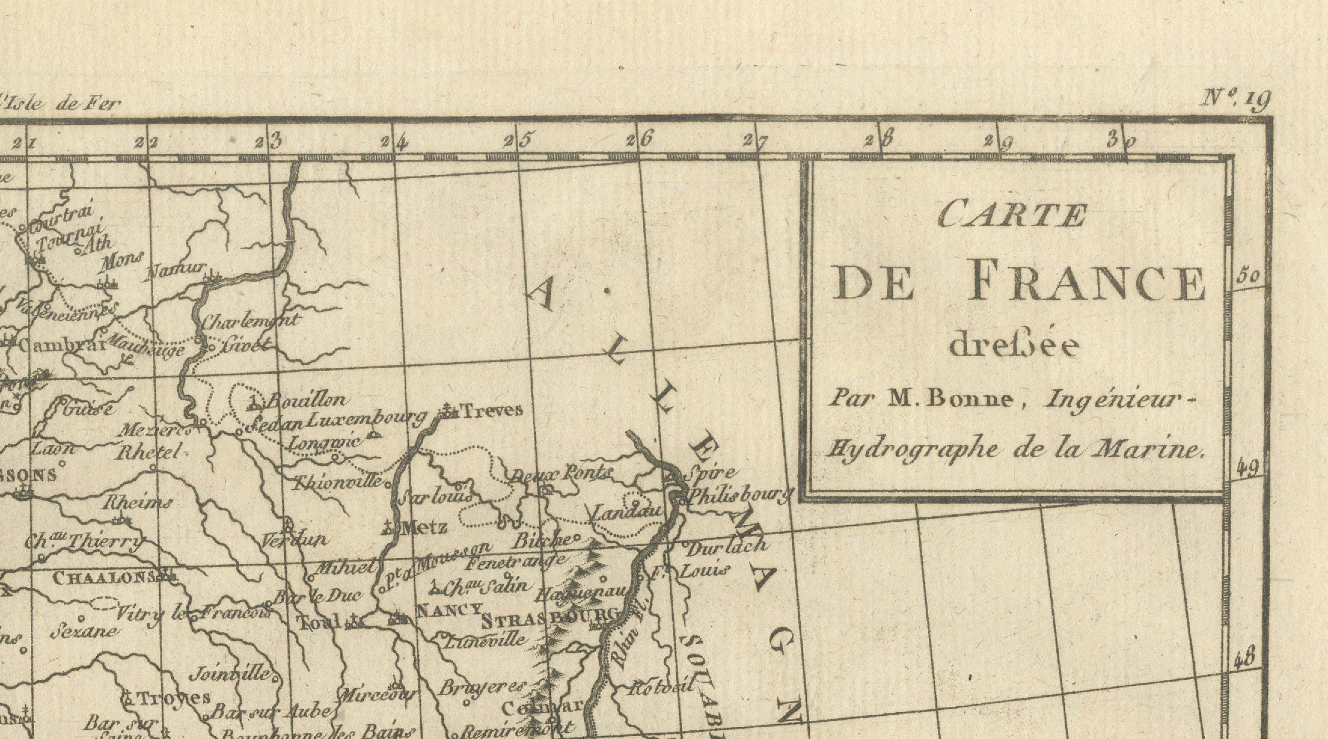
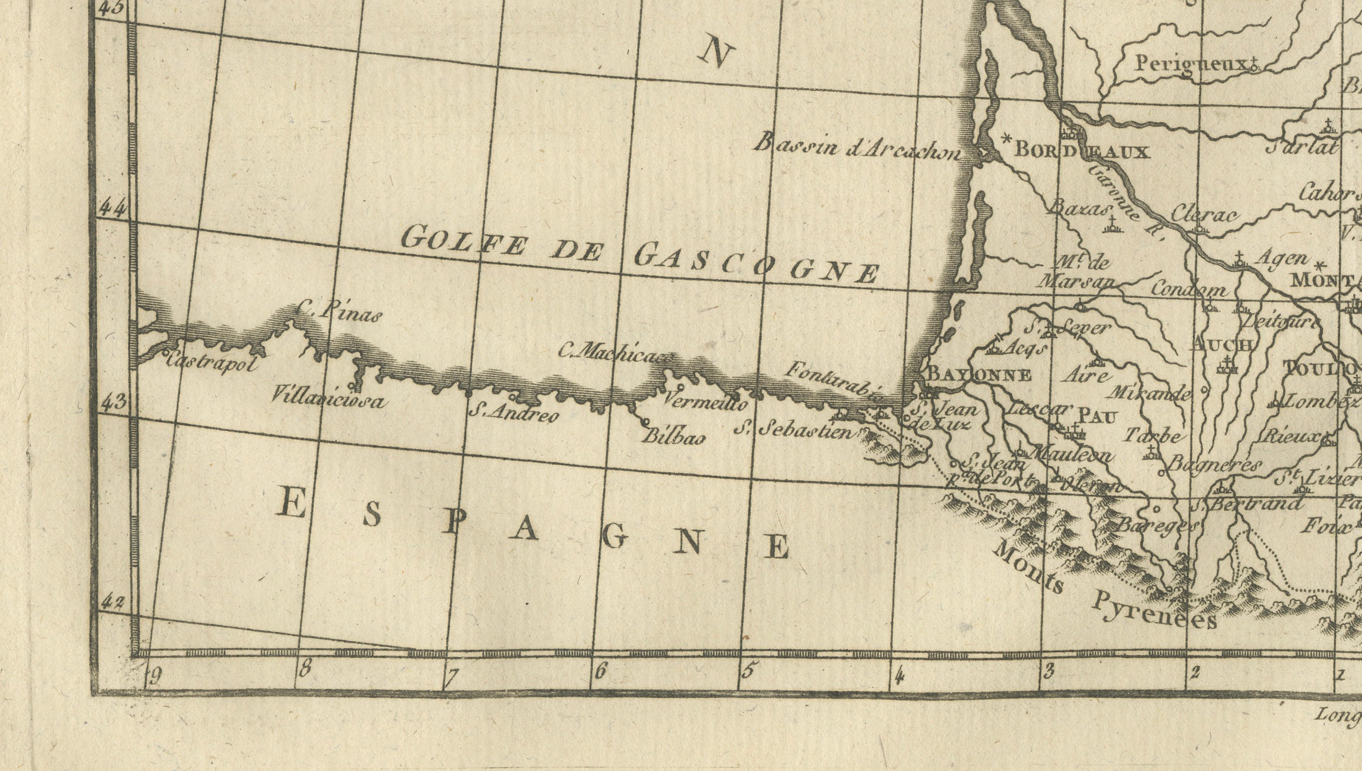
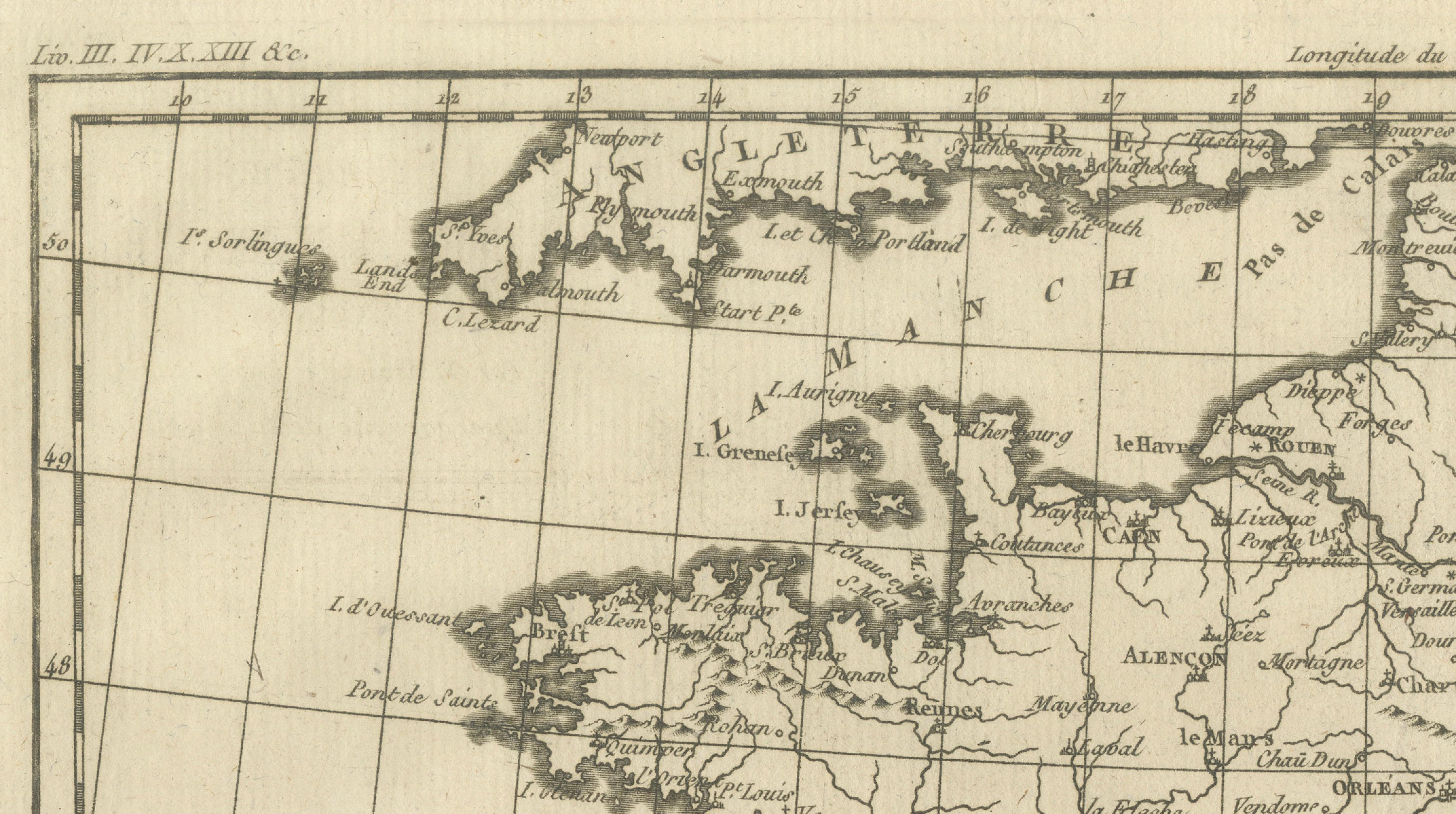
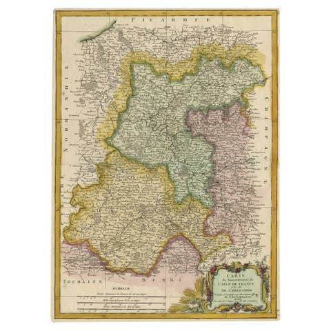
This elegant 18th-century map presents France at the height of the Enlightenment, engraved around 1780 by the celebrated French cartographer Rigobert Bonne. As Hydrographer to the French Navy, Bonne was a key figure in the shift toward scientifically grounded cartography, and this map reflects his clear, rational, and highly legible style.
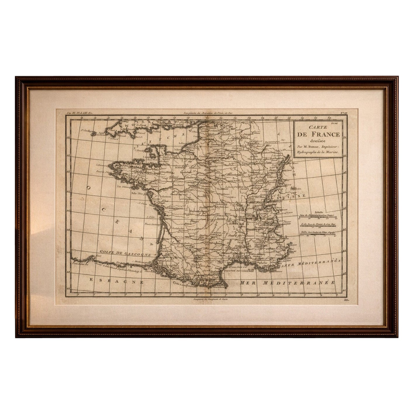
This original antique engraving is offered unframed, enabling custom framing to personal or interior preferences.
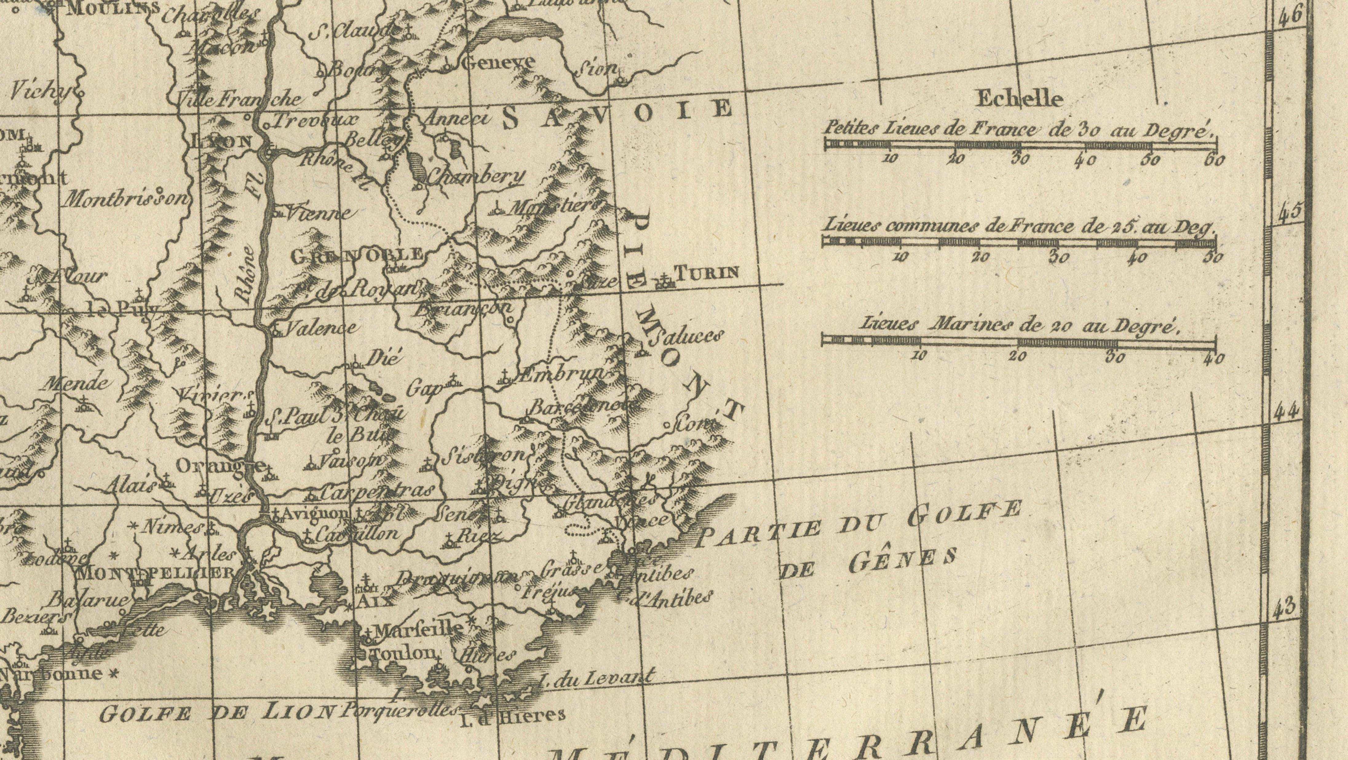
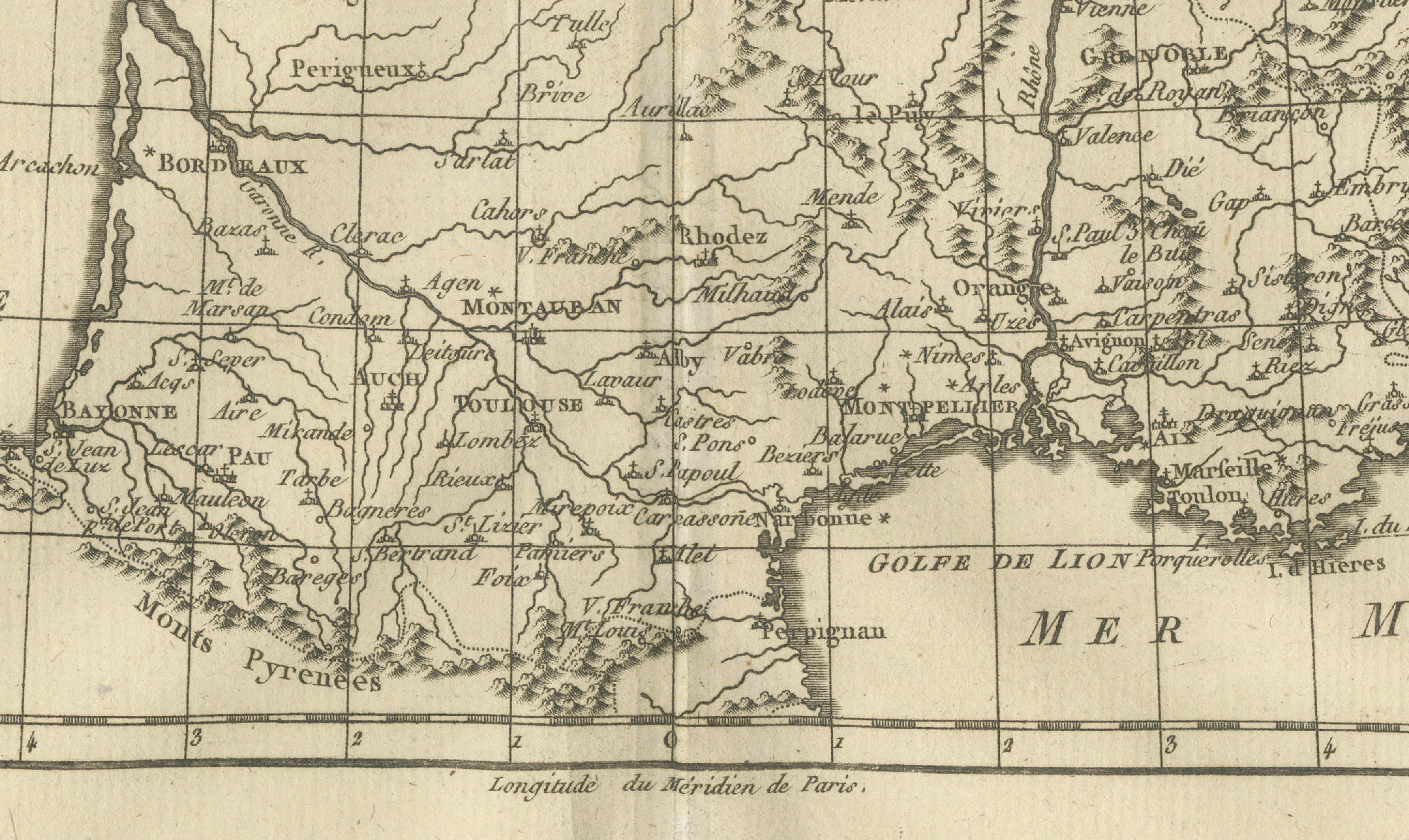
The map shows France in its entirety, carefully delineating coastlines, rivers, mountain ranges, and internal regions. Major cities and towns are clearly identified, while surrounding areas including Spain, Switzerland, Italy, the Low Countries, and the German states are included to place France within its broader European context. The Atlantic Ocean, Bay of Biscay, and Mediterranean Sea are prominently labeled, underlining France’s geographic and maritime position.
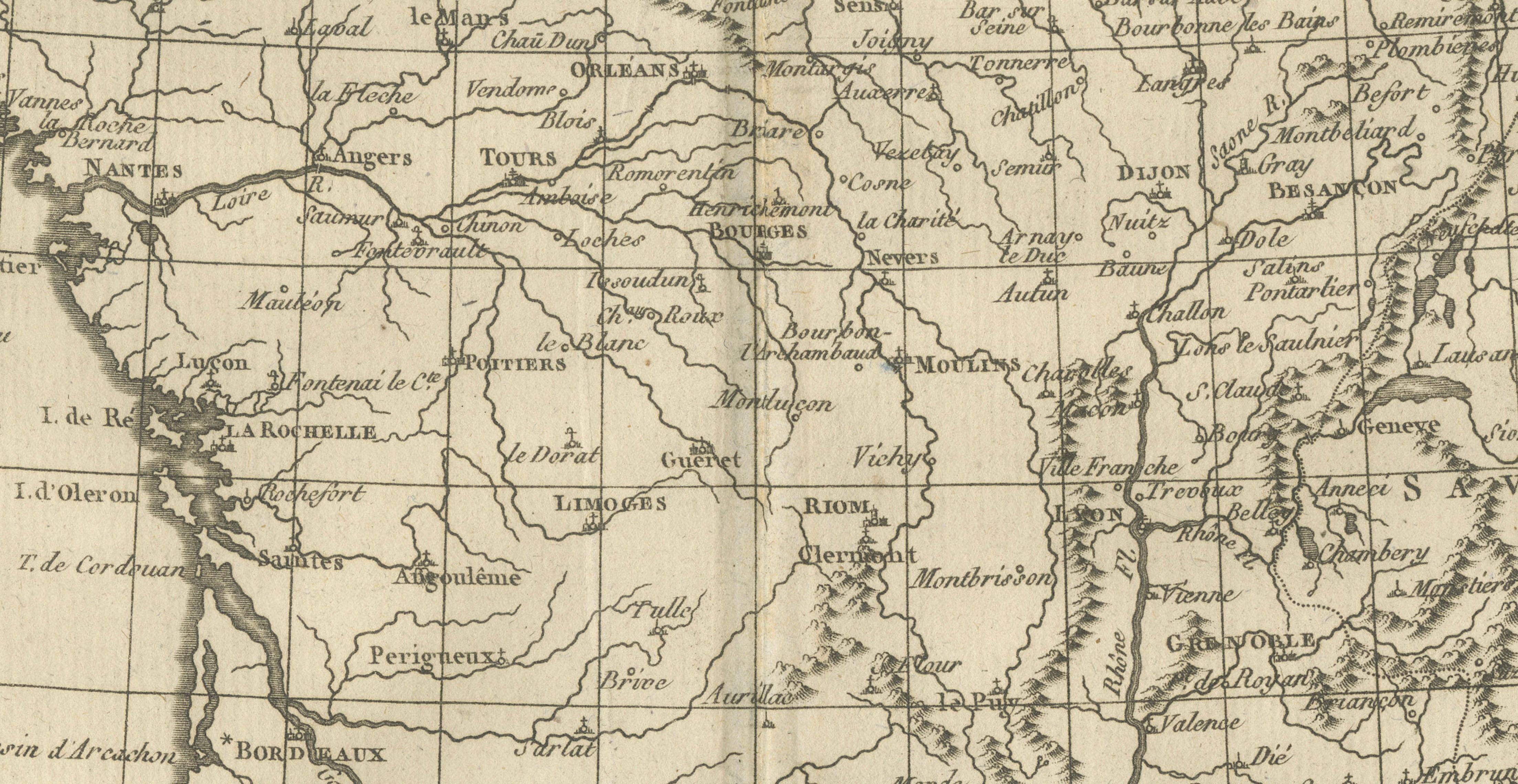
Bonne’s restrained aesthetic is a defining strength of this engraving. Relief is indicated through fine hachuring, particularly in the Pyrenees and Alpine regions, while an underlying coordinate grid reinforces the scientific intent of the map. Decorative elements are deliberately minimal, allowing clarity, balance, and precision to take precedence. This makes the map especially appealing both as a historical document and as a refined decorative object.
Maps by Rigobert Bonne are increasingly sought after by collectors for their role in the evolution of modern cartography. This example is particularly attractive for collectors of French maps, Enlightenment-era geography, or anyone seeking an authentic antique map with a calm, architectural presence. Its subtle tones and balanced composition also make it highly suitable for interior design, from classic studies to contemporary spaces.
Condition report:
Good condition. Light overall age toning with a few small scattered spots and minor handling marks consistent with age. Central fold visible as issued. Plate mark present.
Framing tips:
A wide off-white or soft ivory mat will highlight the fine engraved detail and provide visual breathing space. A walnut, dark oak, or muted gilt frame complements the 18th-century character and works equally well in traditional and modern interiors.
Keyword block:
Antique map of France, Rigobert Bonne, Enlightenment cartography, 18th century French map, copper engraved map, historical France, European antique map, Paris cartographer, classic wall map, interior design map art
Technique: Copper engraving
Maker: Rigobert Bonne, France, circa 1780