About this sheet
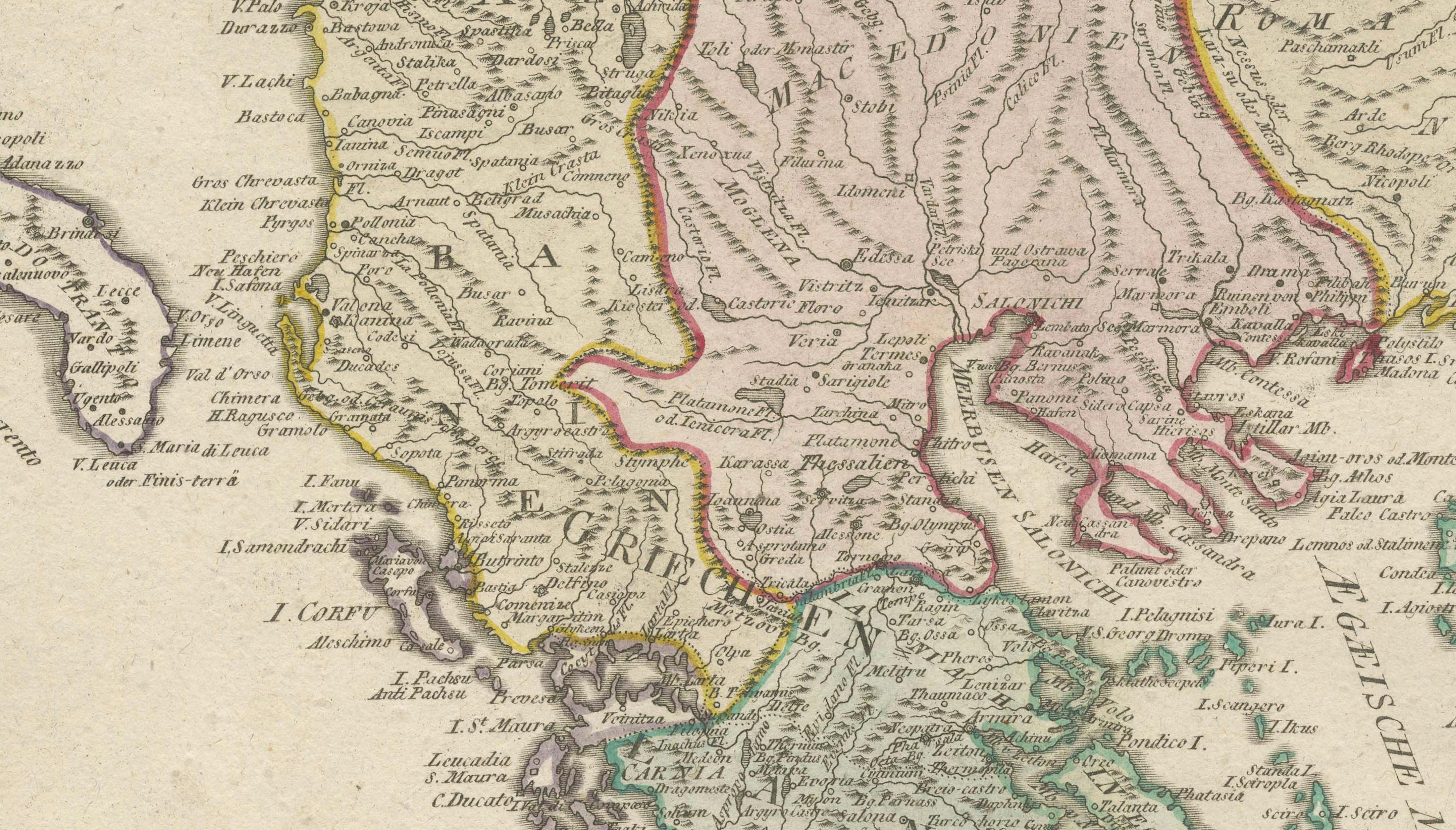
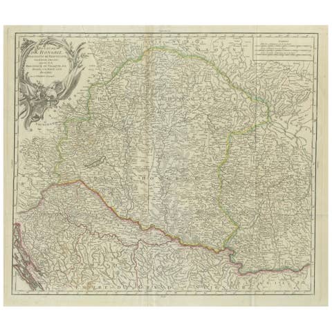
Map of the Ottoman Empire in Europe – Reilly, Vienna circa 1794-1796
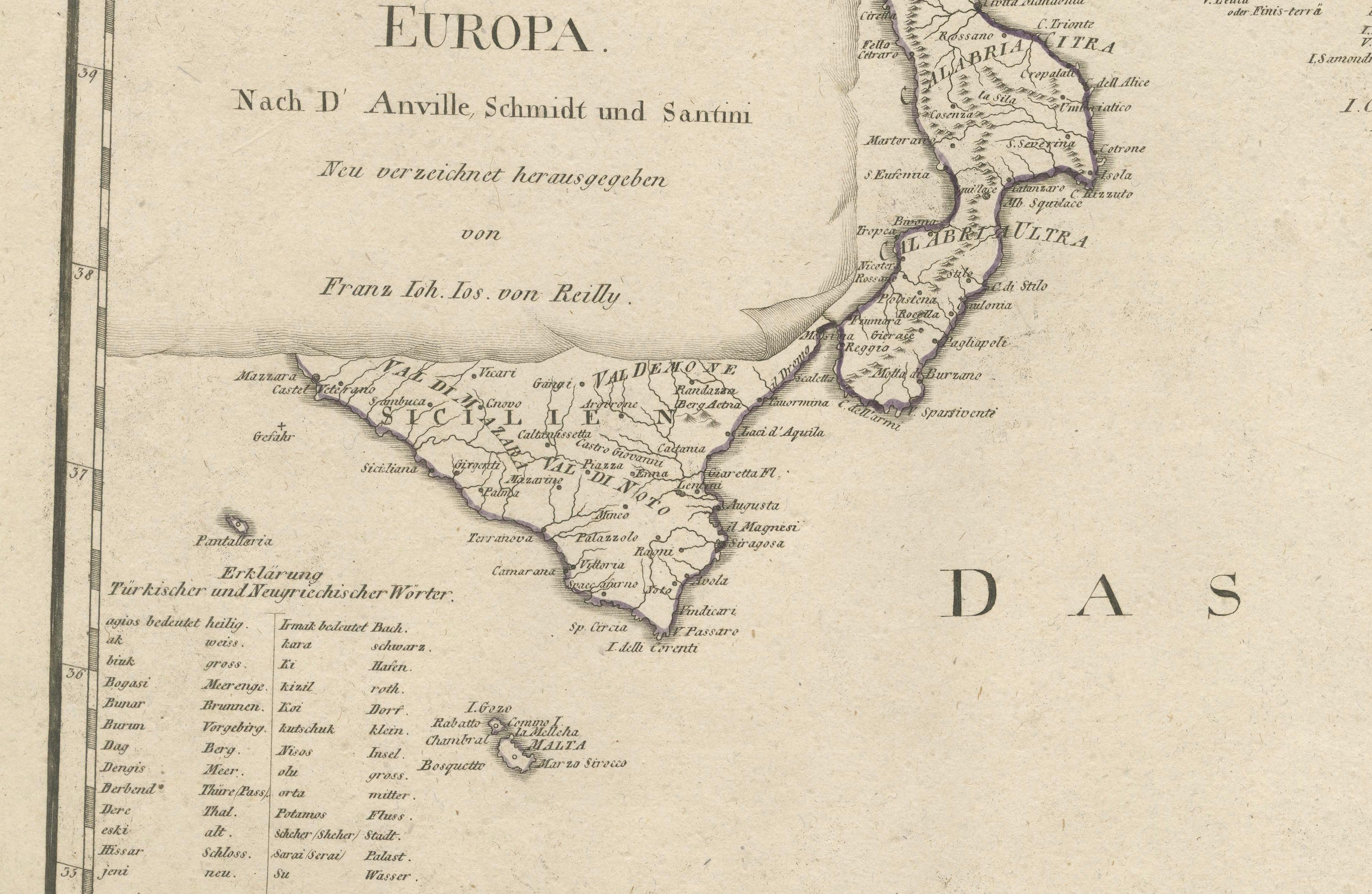
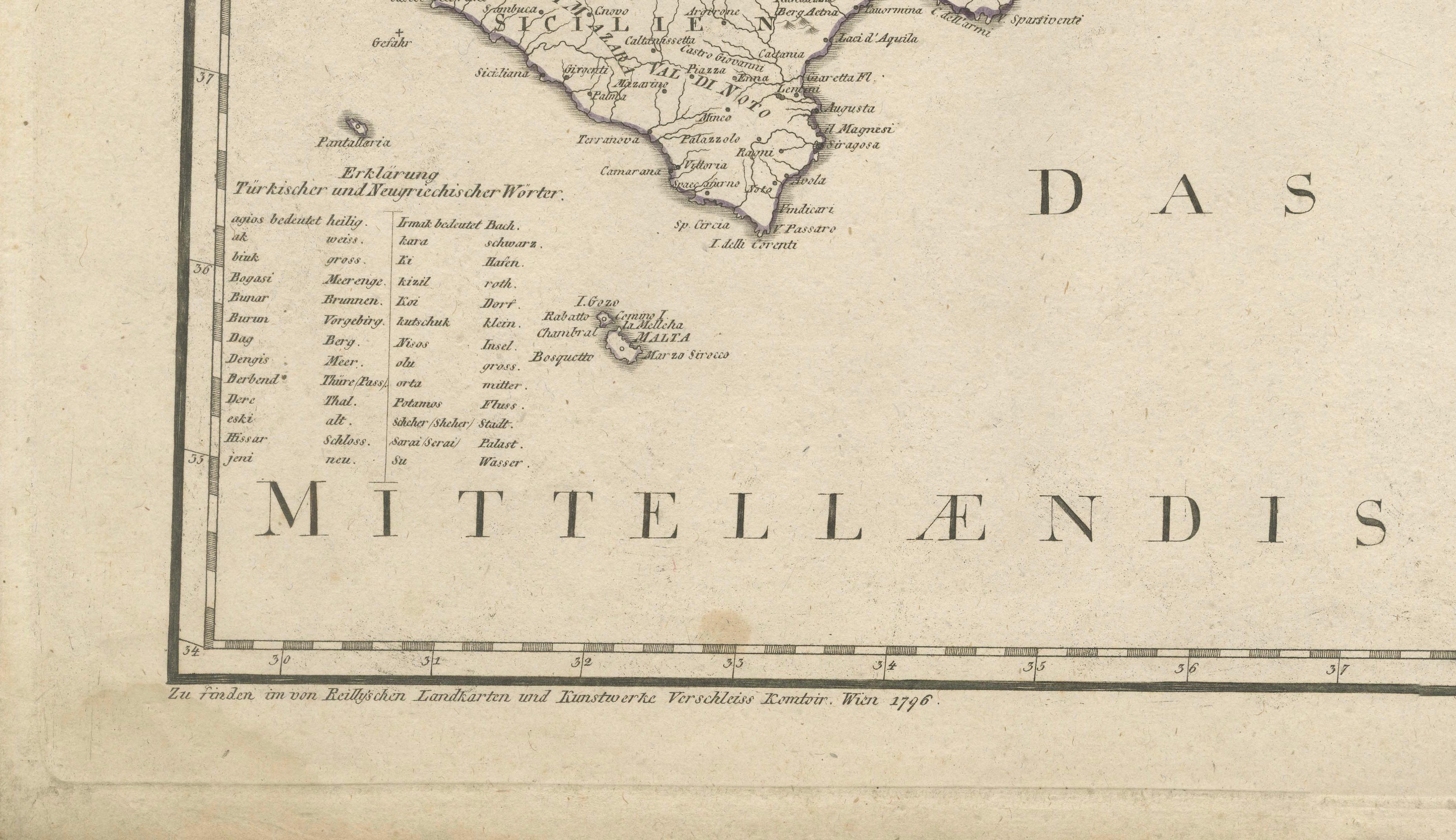
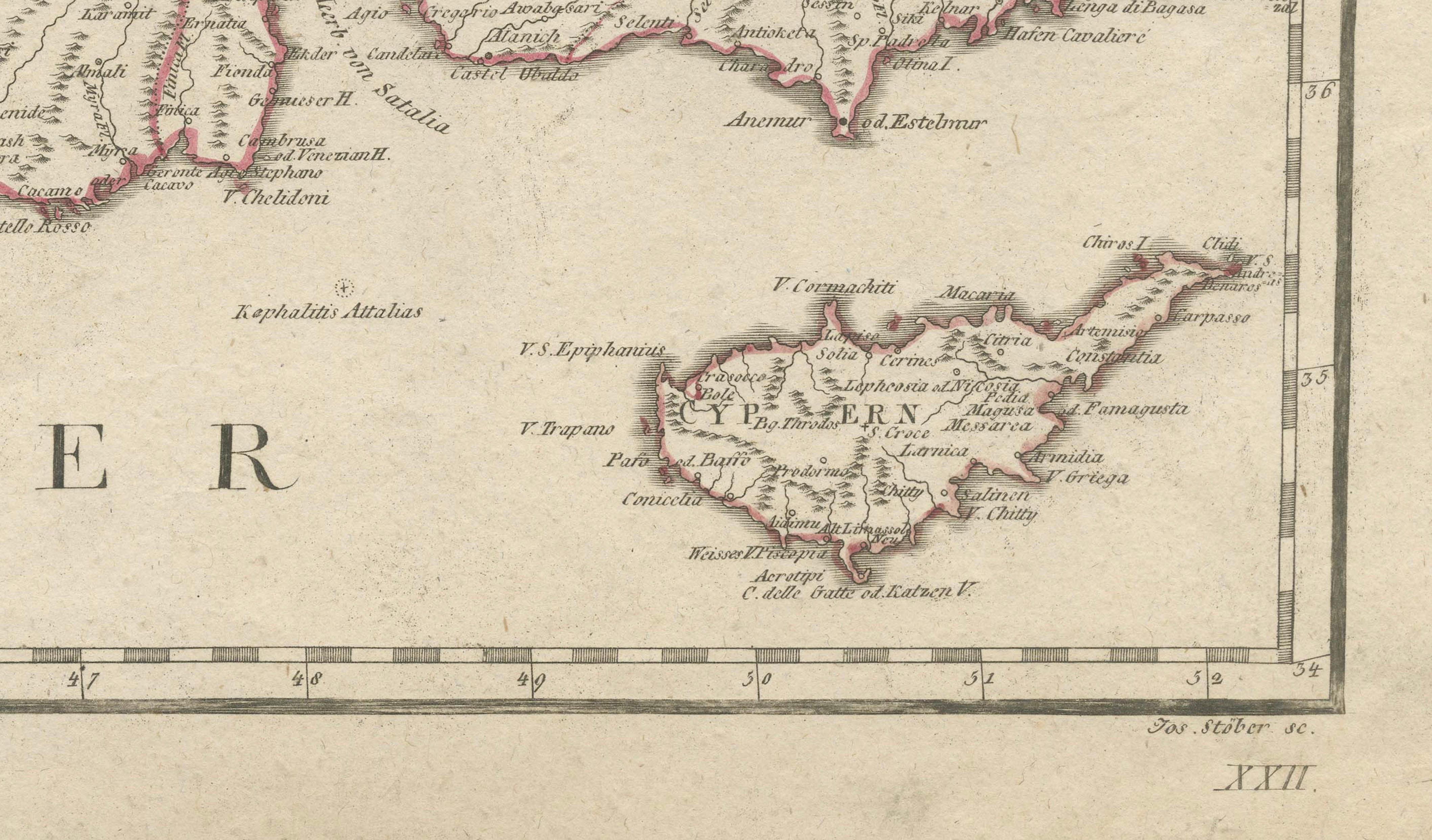
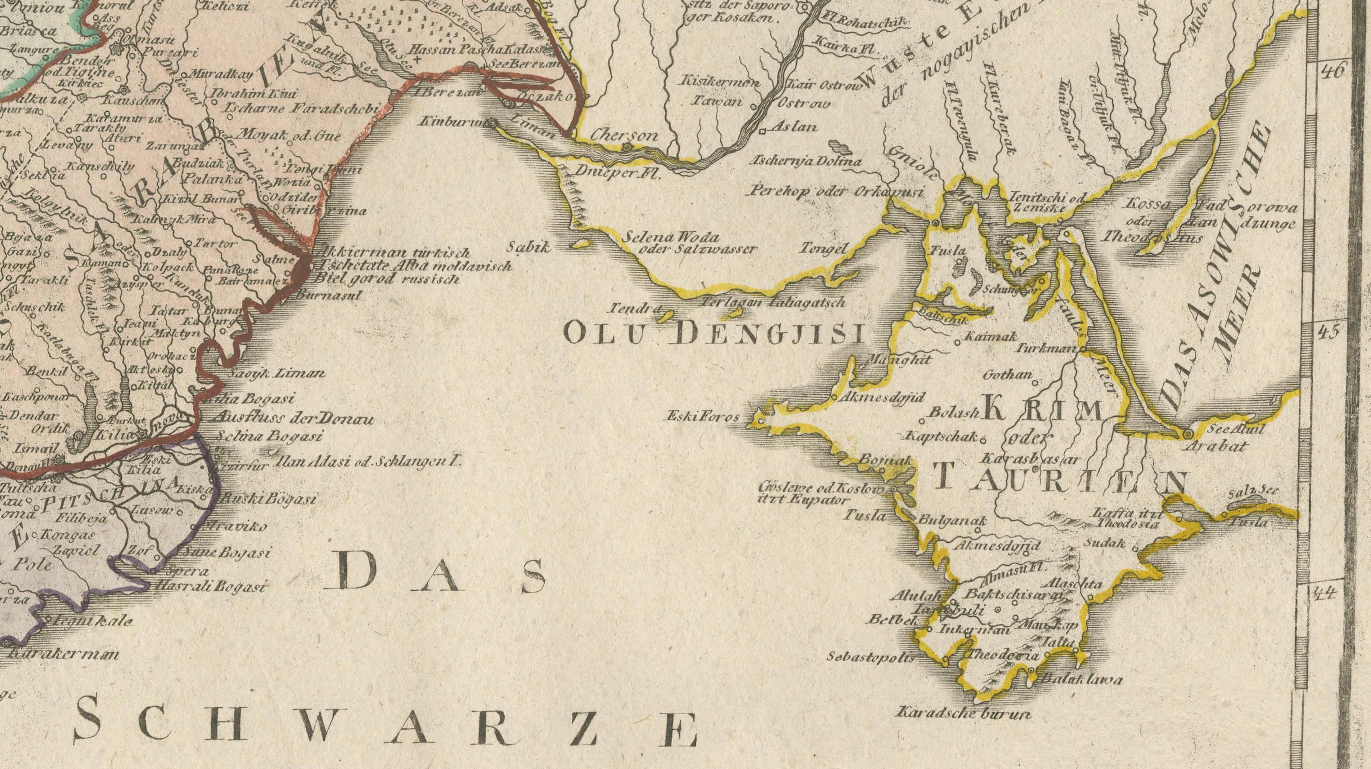
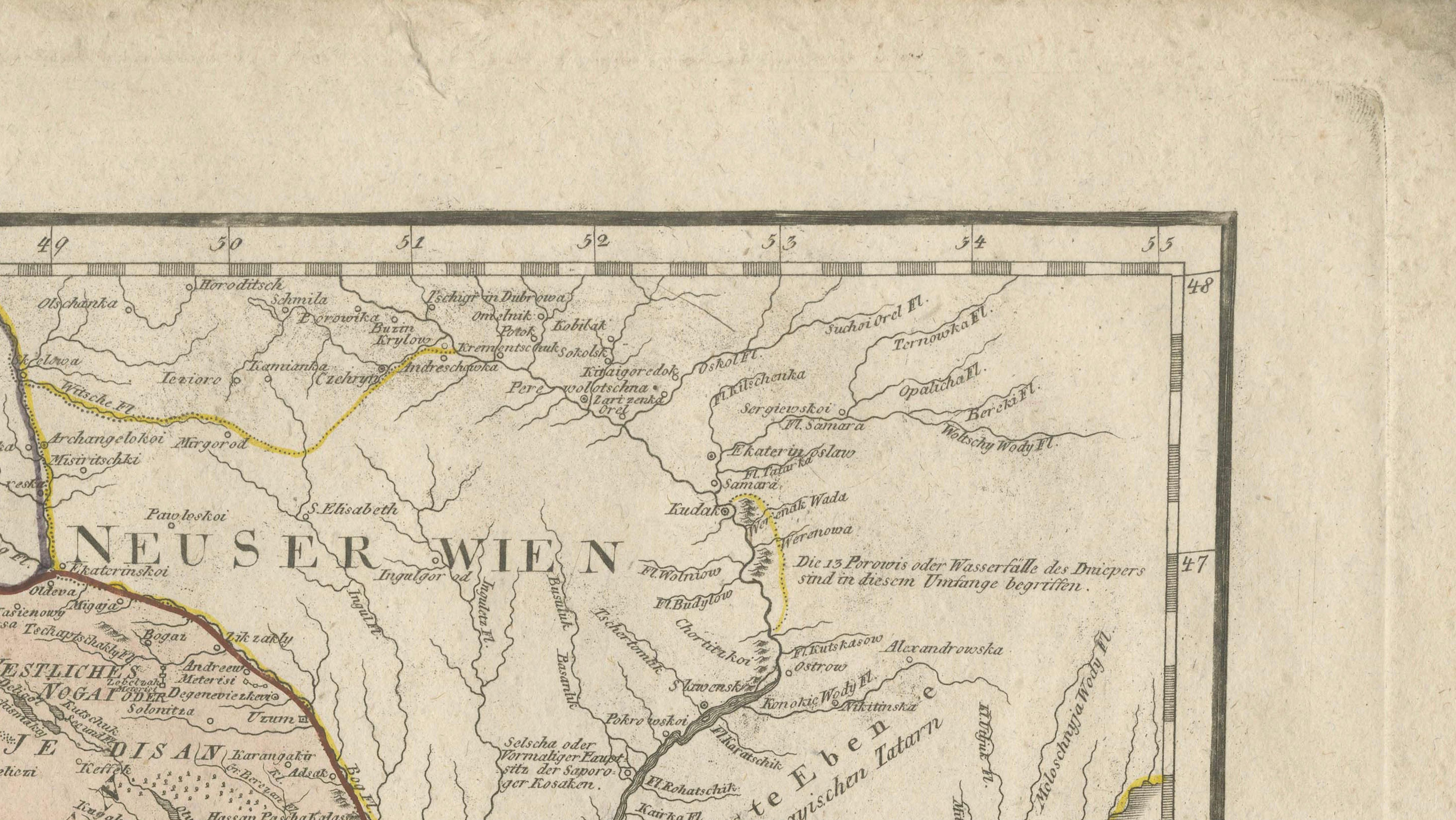
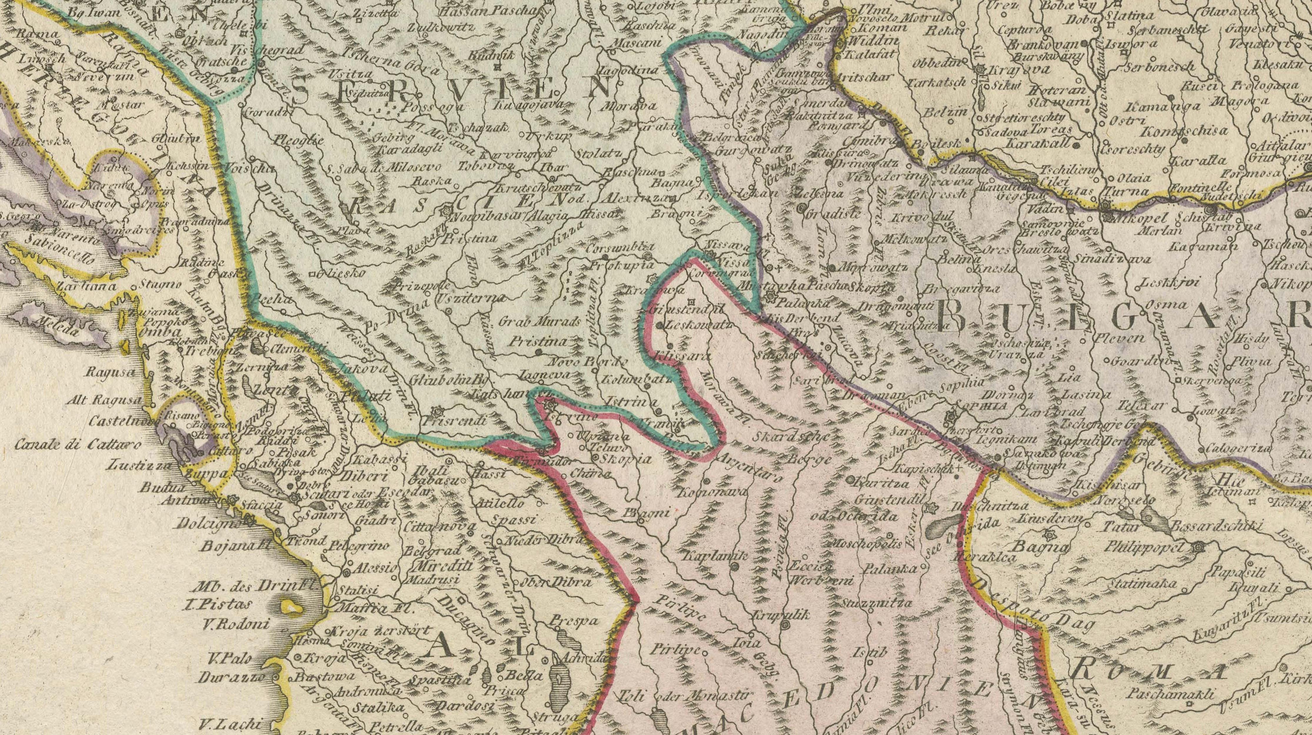
This large original antique map, titled “Karte von dem Oschmanischen Reiche in Europa,” was published between 1794 and 1796 by Franz Johann Joseph von Reilly in Vienna. It is from his monumental “Grosser Deutscher Atlas,” Plate 22, and is based on the works of D’Anville, Schmidt, and Santini, notable cartographers of the 18th century.
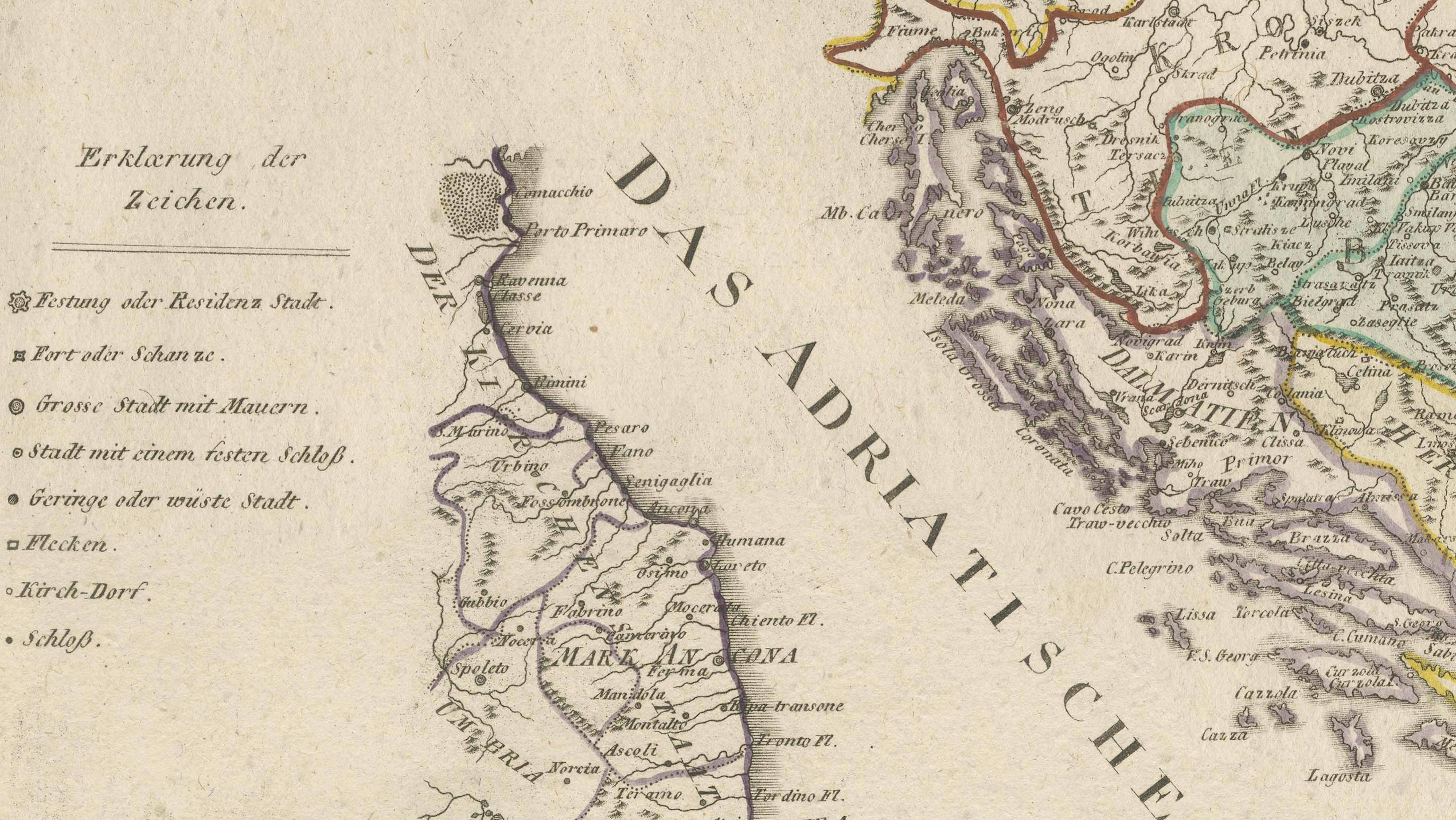
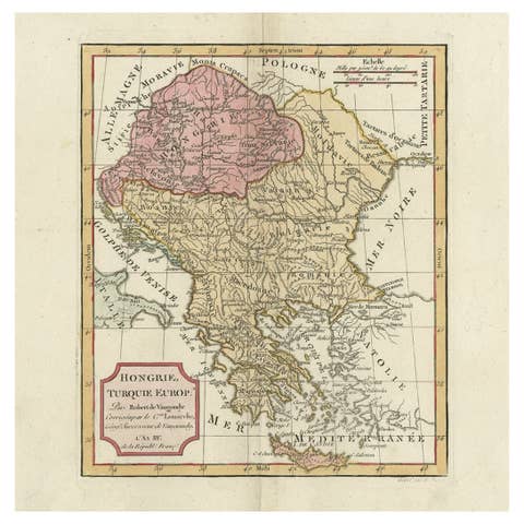
The map presents the European territories of the Ottoman Empire with remarkable precision for its time, covering the Balkans, Greece, Albania, Macedonia, Bulgaria, Romania, European Turkey, and parts of Hungary and Austria. Place names are in German, with regional boundaries delicately hand-coloured in outline. It features major cities, towns, rivers, and mountain ranges. The Adriatic Sea (Das Adriatische Meer), Black Sea (Das Schwarze Meer oder Pontus Euxinus), and Mediterranean Sea (Das Mittelländische Meer) are clearly labelled.
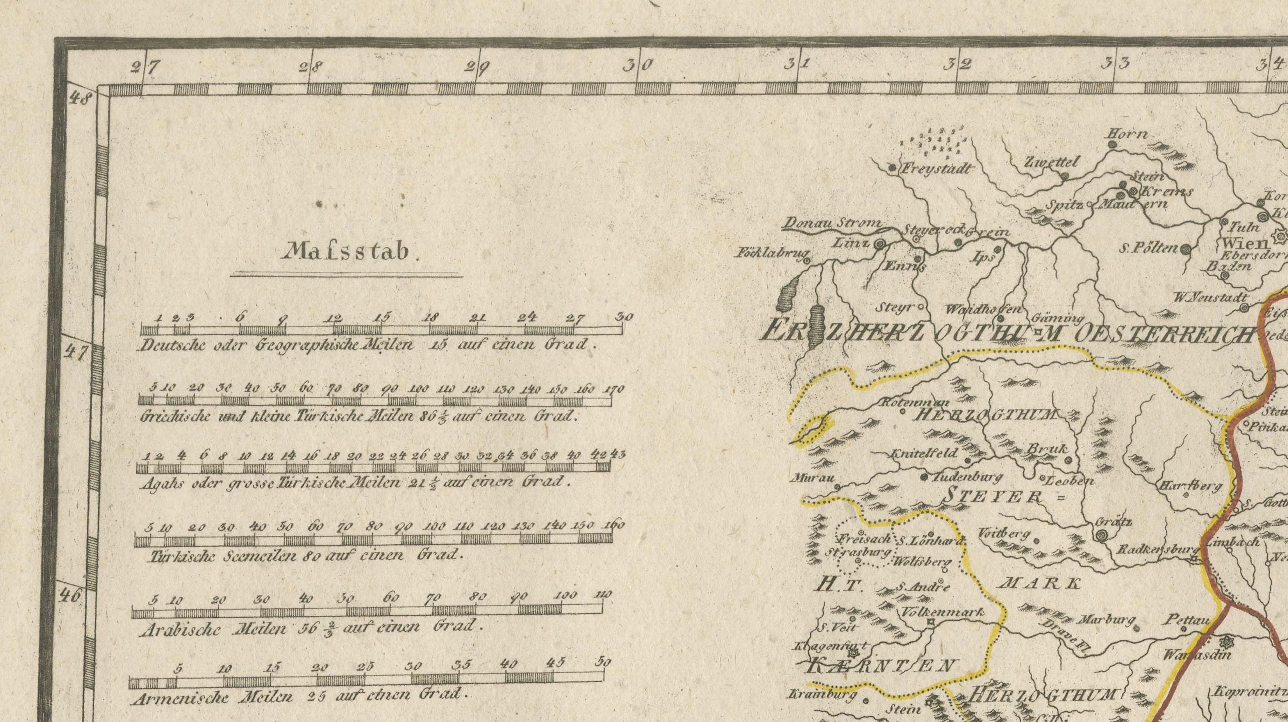
The cartouche is designed as a curled scroll motif to the left, noting its sources from D’Anville, Schmidt, and Santini, while an explanation of symbols and scales appears above. Franz Johann Joseph von Reilly (1766–1820) was an influential Austrian publisher and writer who issued numerous atlases and geographical works between 1790 and 1800 from Vienna, contributing greatly to European cartography in the late 18th century.
Condition:
Very good condition considering its age. Engraving remains crisp with clear original hand colouring. Minor toning, faint foxing spots mostly to outer margins, and original vertical fold as issued. Edges with only minimal wear, making it highly suitable for framing or archival collection.
Framing tips:
This impressive map deserves a museum-style presentation. A dark mahogany or black frame with archival ivory or off-white matting will highlight the fine engraving and subtle colouring. Its historical and decorative impact is ideal for offices, libraries, studies, or gallery walls focusing on Ottoman history, Balkan studies, or European cartographic collections.
This is a rare opportunity to acquire a genuine late 18th-century map by von Reilly, representing a significant period in geopolitical and cartographic history.