Maps & PrintsBartele Gallery · Langweer
Home / Antique Maps / Europe / Western Europe / Germany

Germany · 18th century


Antique Map of Bremen by J.B. Homann, Panoramic View, Circa 1720

€ 1 350

One of a kind: this is the sheet in the photographs. Ships from Langweer, the Netherlands.

Date
1720
Sheet size
53.5 × 61.5 cm (21.1 × 24.2 in)
Condition
Good
Reference
BG-13217

Condition

Repaired: Original folding line, with repairs in bottom margin. Wear consistent with age and use. Original/contemporary hand coloring. Original folding line, with repairs in bottom margin. Few small holes/defects in center of the map. General age-related toning, blank verso. Some wear and soilin
About this sheet

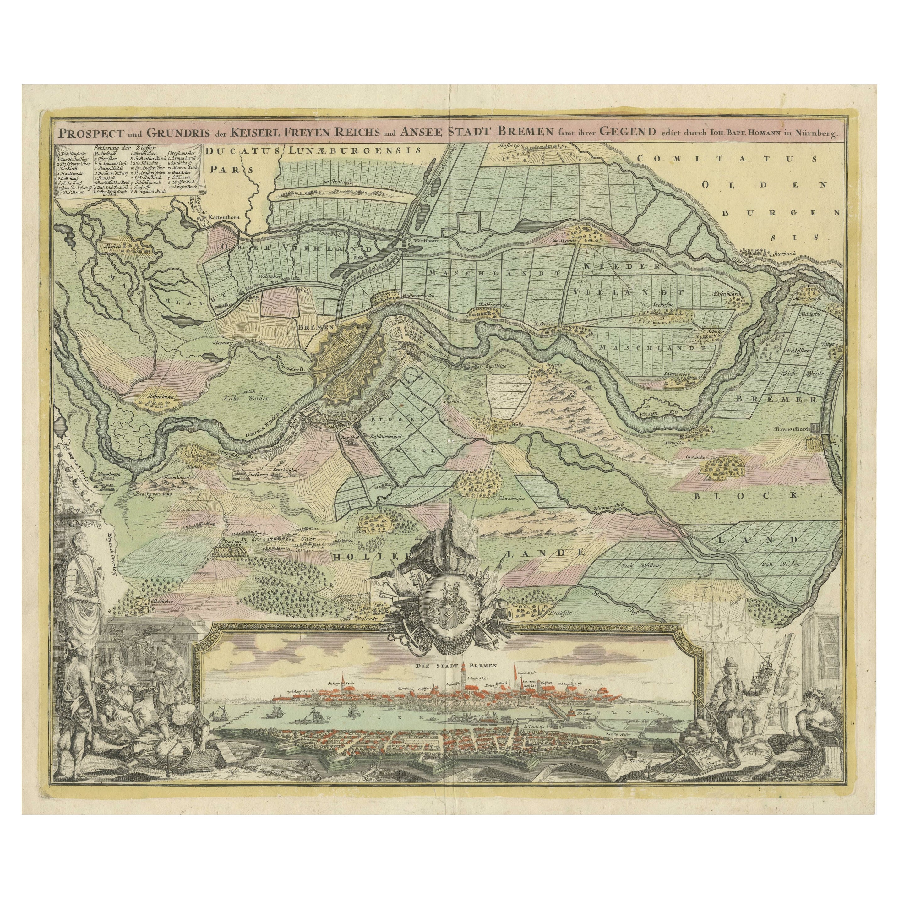
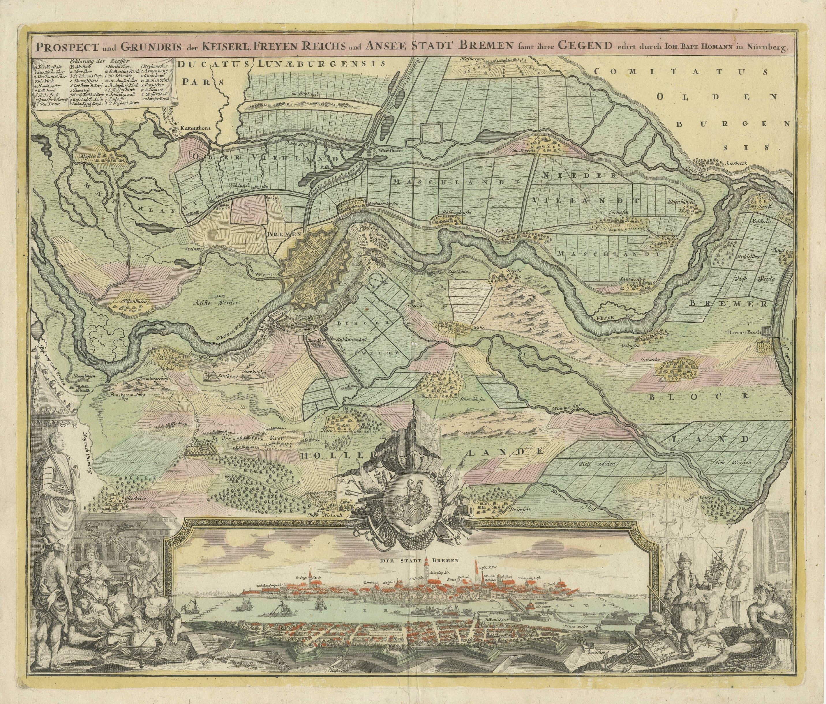
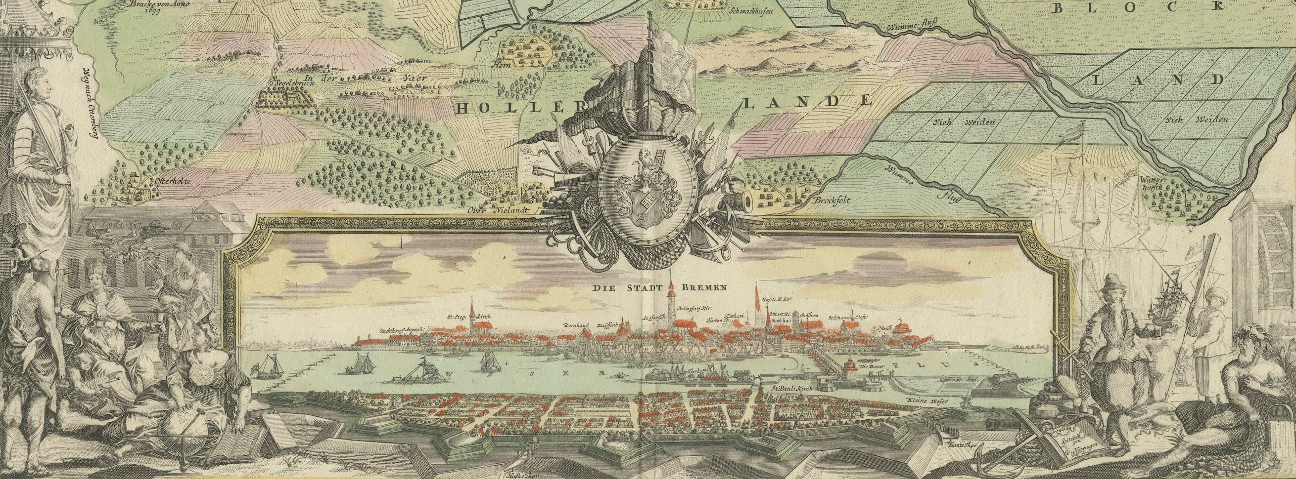
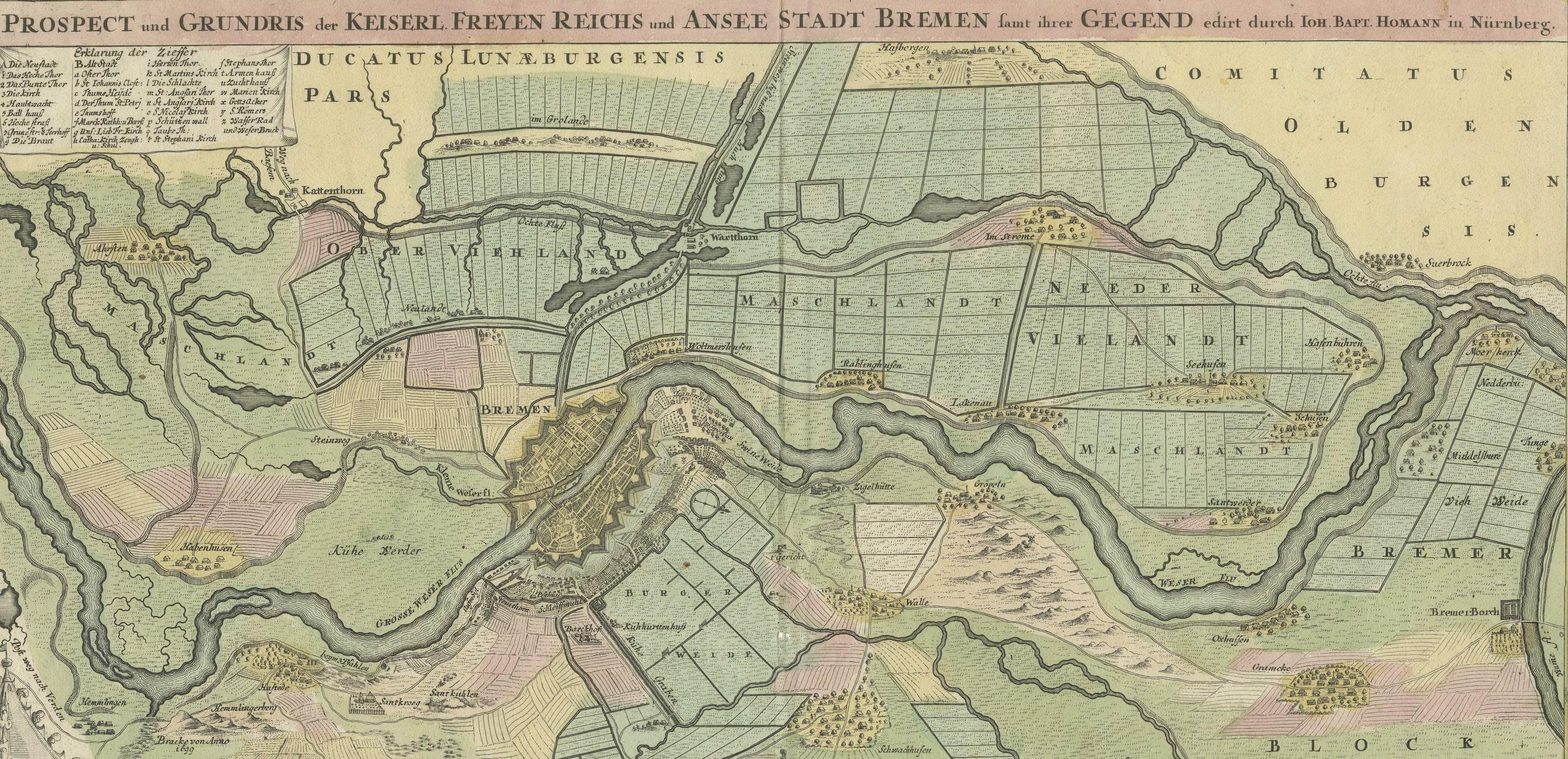
Original antique map titled 'Prospect und Grundris der Keiserl Freyen Reichs und Ansee Stadt Bremen (..)'. This is a superb chart of the city of Bremen and the surrounding small villages with particular emphasis on the many rivers and canals in the area. At bottom is a panoramic view of Bremen surrounded by two allegorical scenes representing the city's importance to trade in the region. On the right is an open atlas showing Greenland and Spitzbergen in Norway, alluding to the possessions of the Hanse. Above the view is a coat-of-arms of the city. The legend in the upper left corner identifies 33 locations.

Published by J.B. Homann, circa 1720. Johann Baptist Homann was a German geographer and cartographer, who also made maps of the Americas.

More from Germany

Ask about this sheet

Antique Map of Bremen by J.B. Homann, Panoramic View, Circa 1720
1720 · Ref. BG-13217 · € 1 350
We reply by email, usually within one working day.