About this sheet
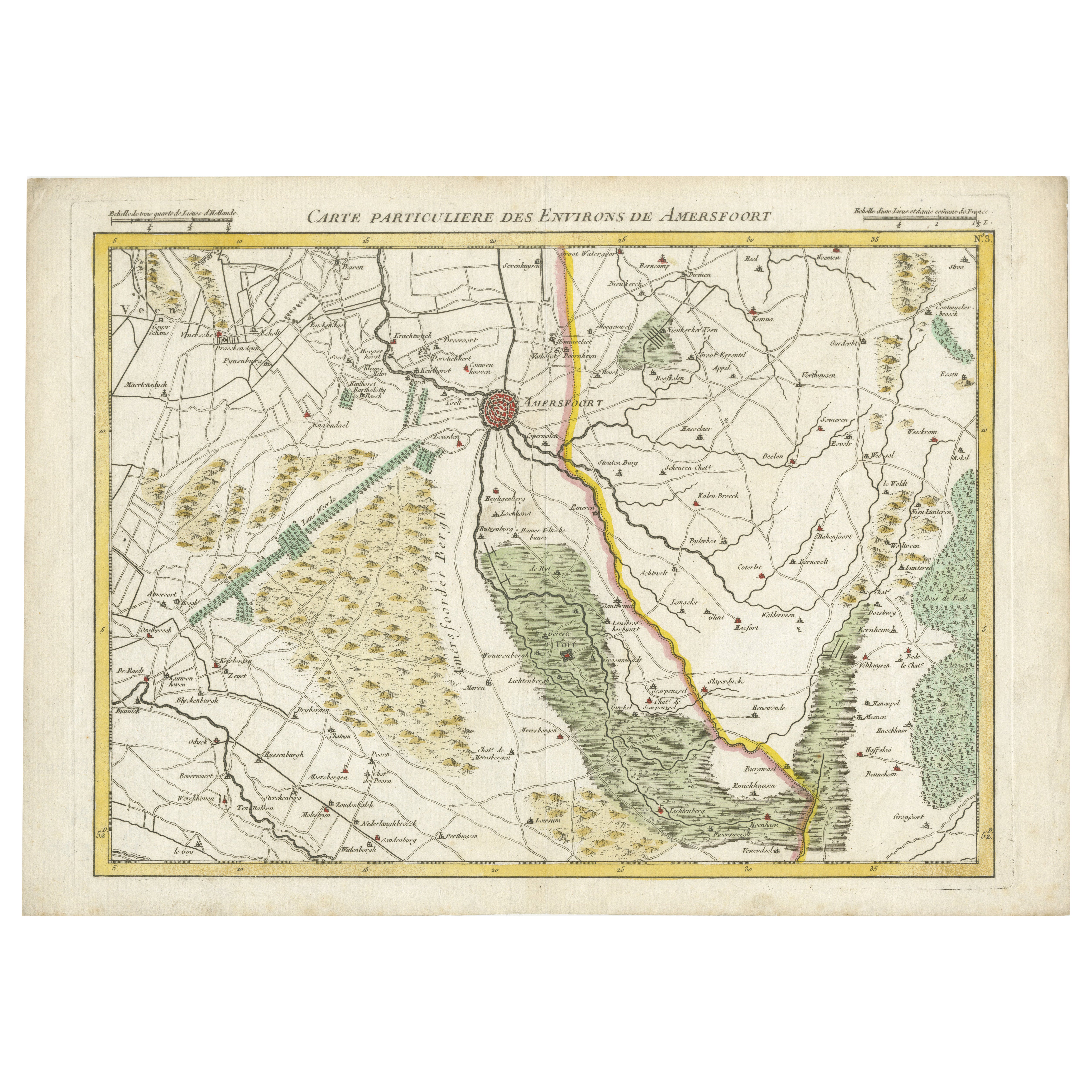
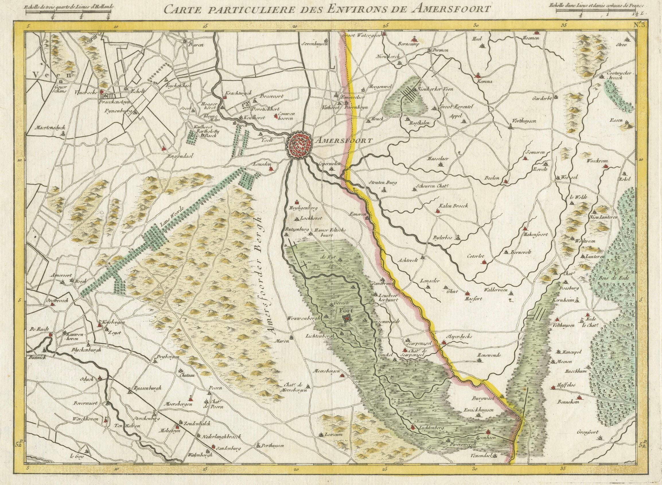
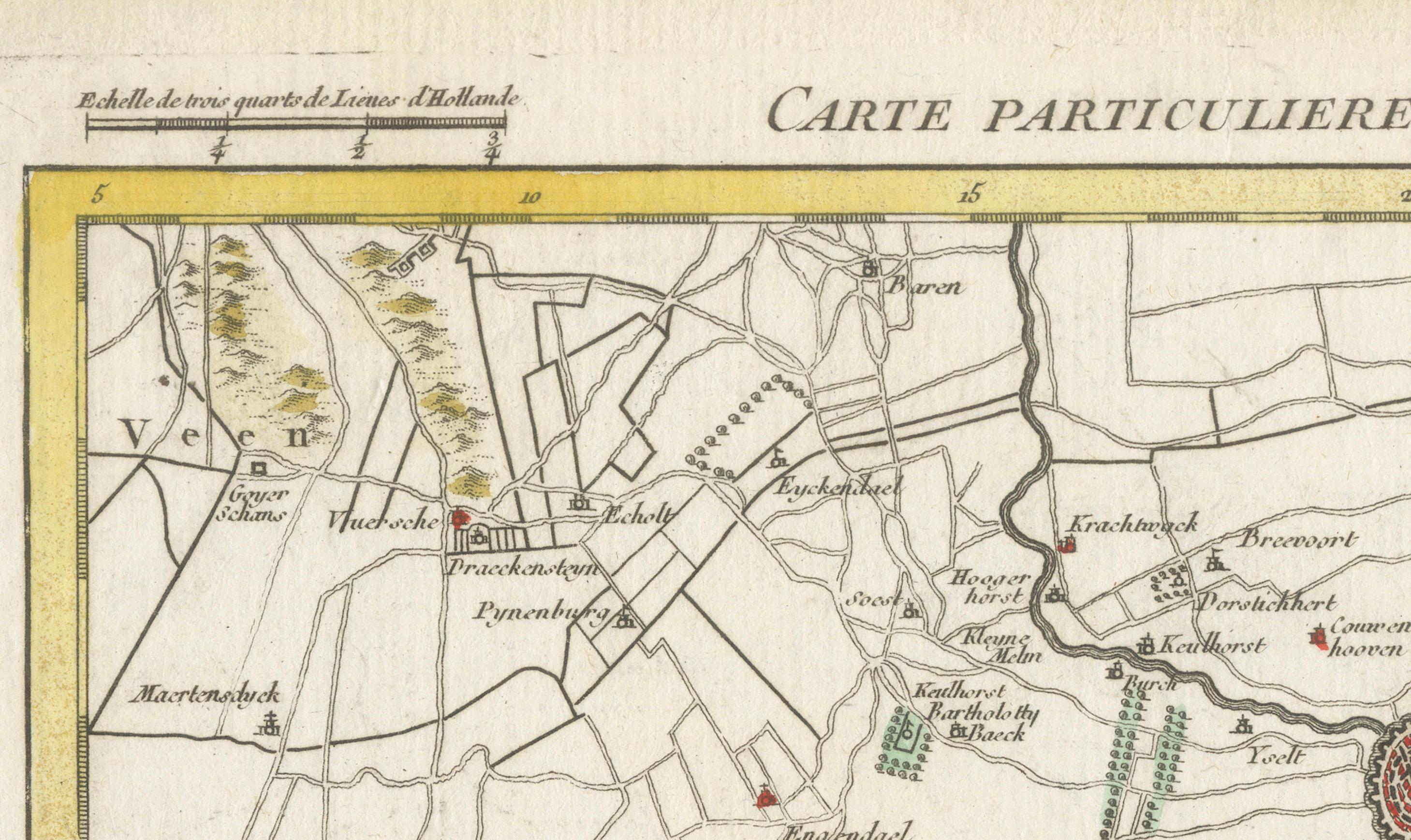
Map of Amersfoort and Surroundings by Covens & Mortier, published in 1747
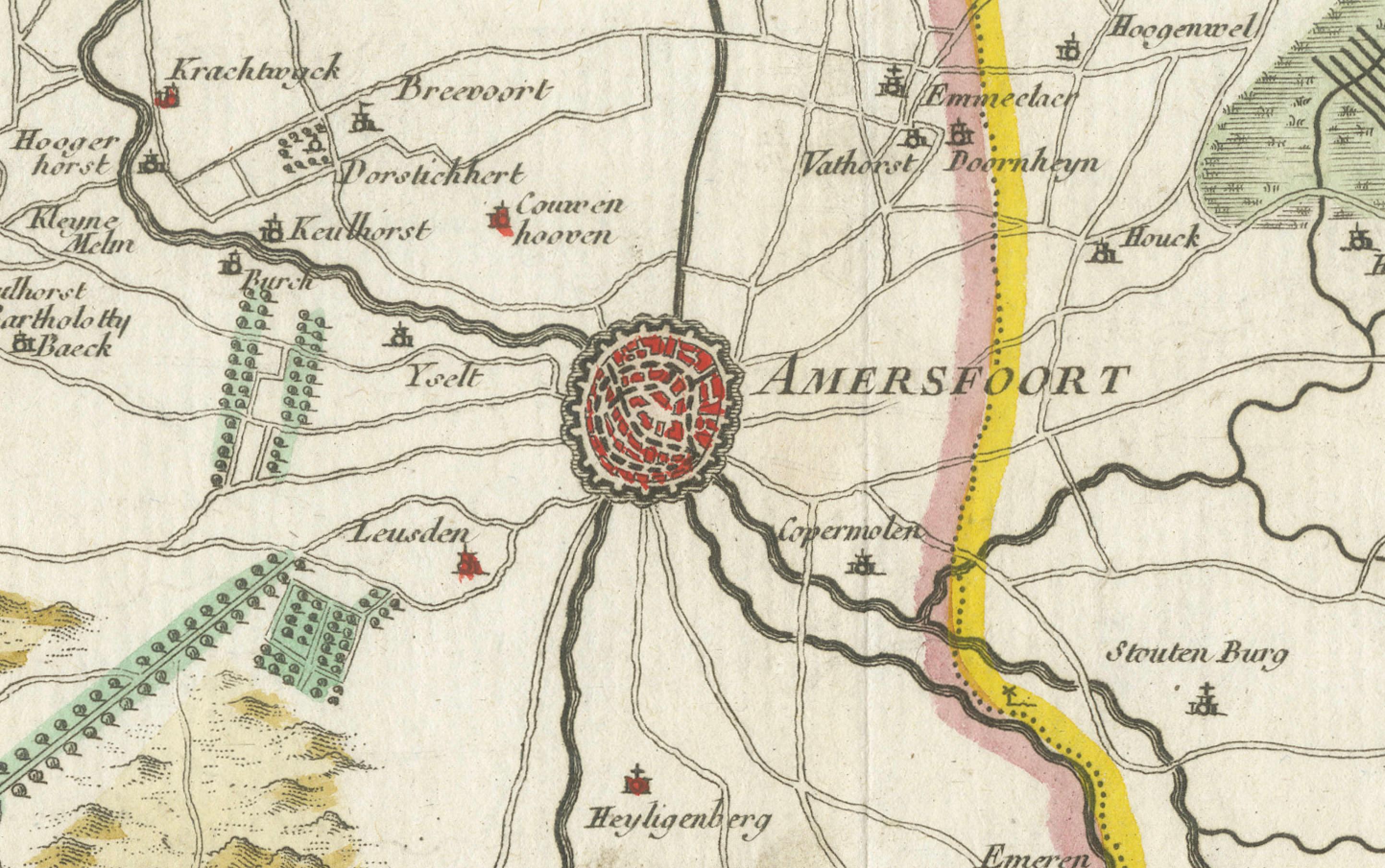
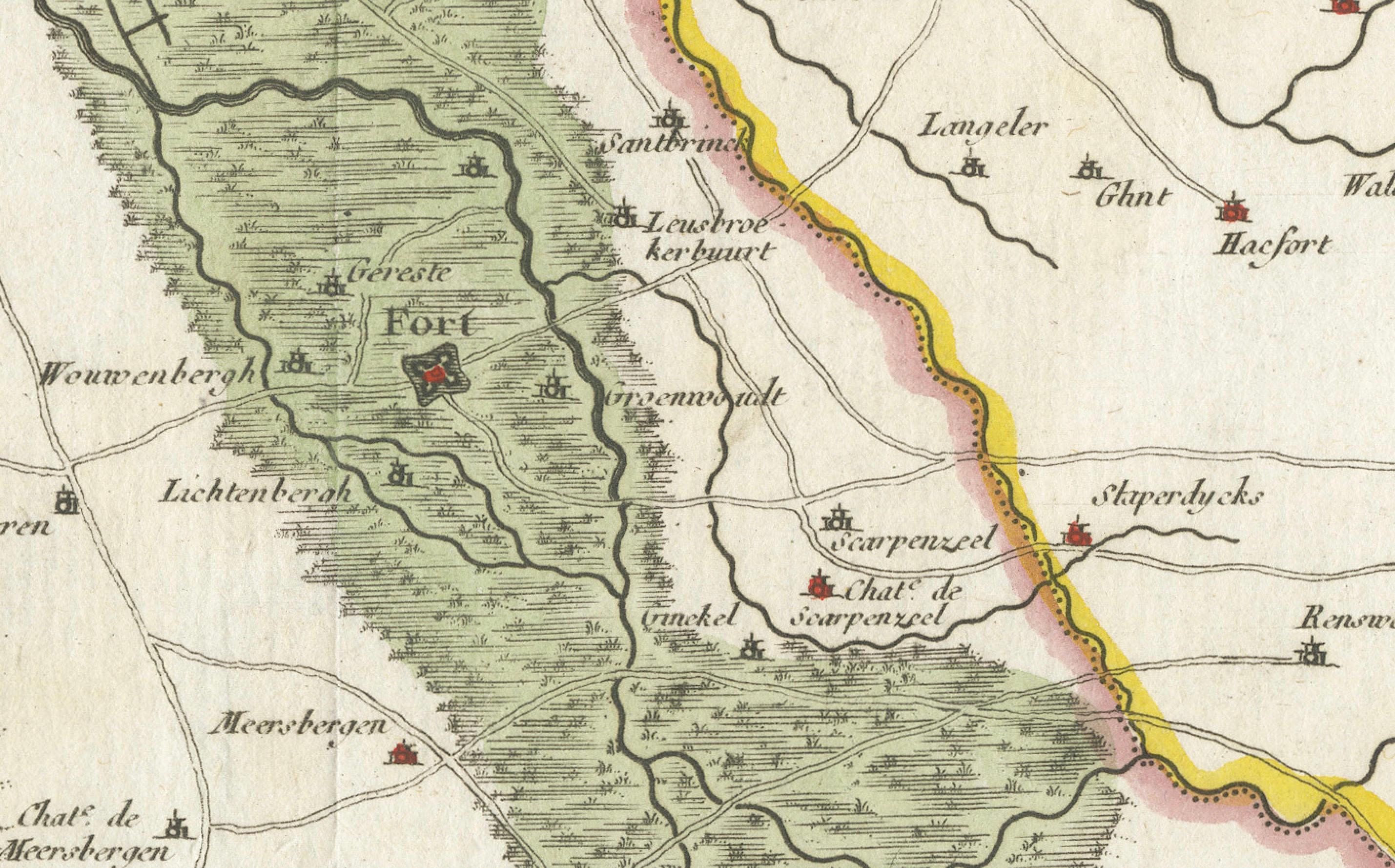
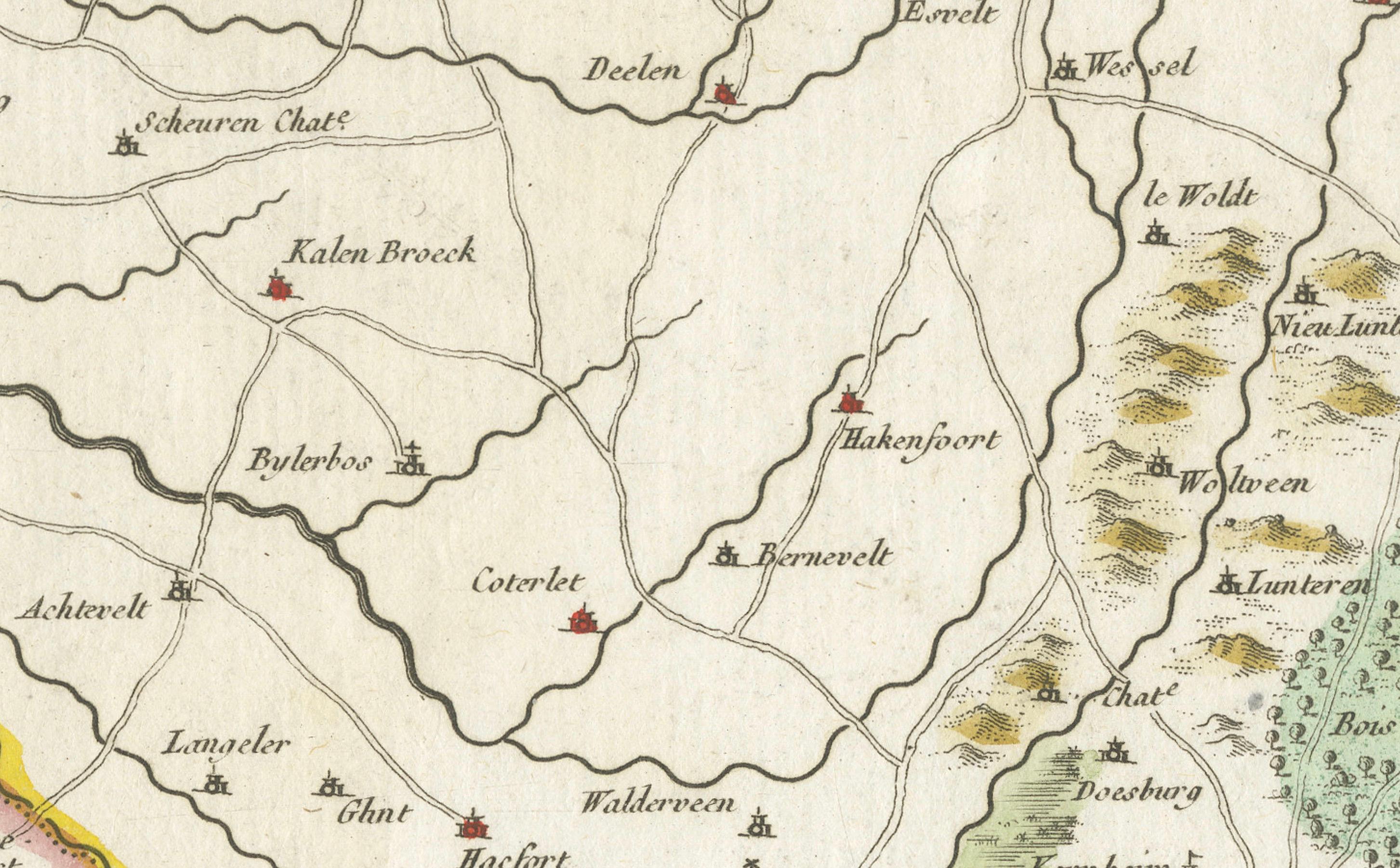
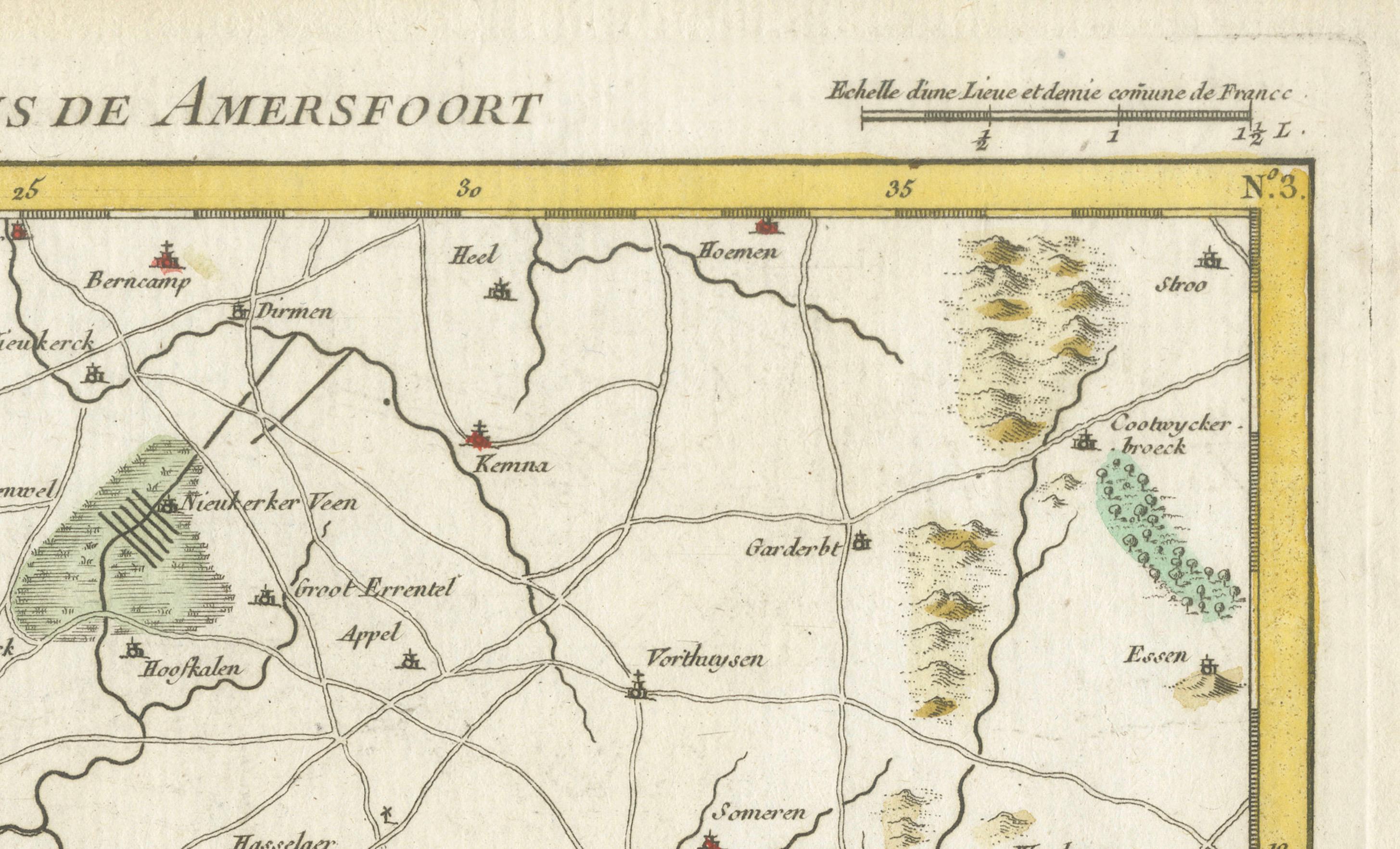
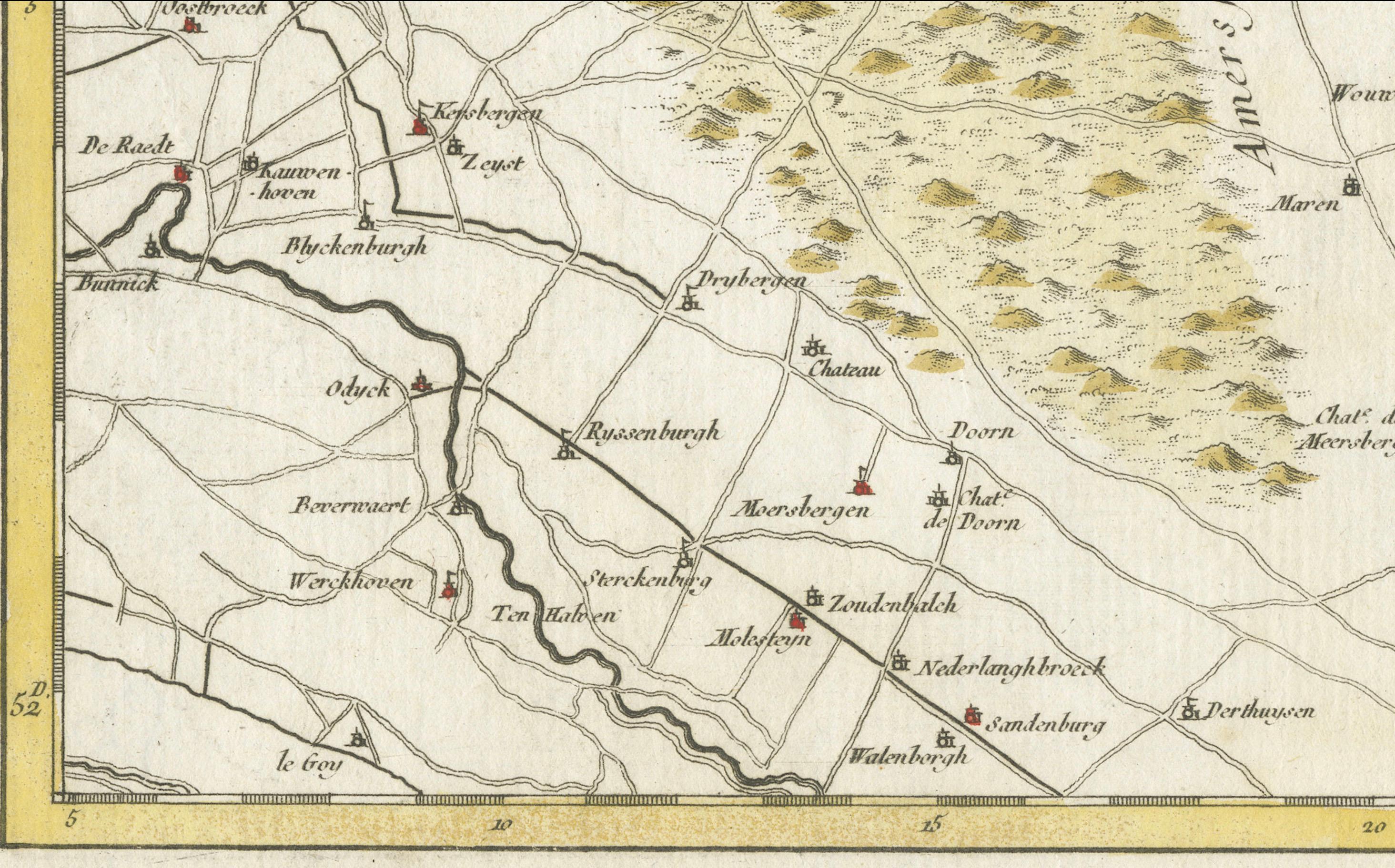
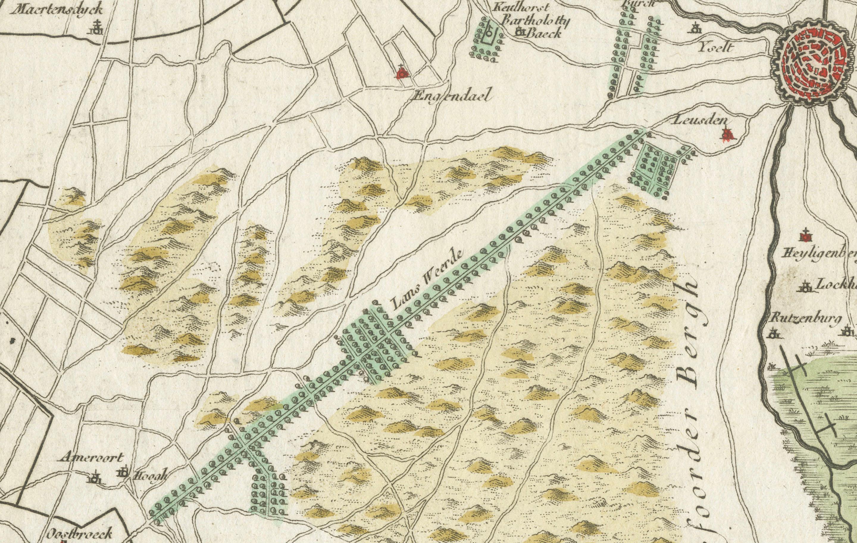
Hand-coloured copper engraving titled *Carte Particulière des Environs de Amersfoort*, created by Jean Covens and Corneille Mortier. This detailed map depicts the area around Amersfoort in the mid-18th century, including towns, roads, farms, forests, and waterways. Published in 1747 by E.H. Fricx in Brussels, with editions also issued in Ghent and Lille. The map includes two scale bars: one in Dutch miles and one in French miles.
Technique and material: Copper engraving, hand coloured
Condition report:
Very good condition. Clean impression with original hand colouring. Slight age toning to margins; minimal edge wear. No tears, folds, or repairs.
Framing tip:
Use acid-free mat board and UV-protective glass. A warm-toned mat enhances the hand colouring; a simple black or dark wood frame complements its historic look. Leave space to show plate mark.
Topography:
Features numerous locations including Essen (Barneveld), Vathorst, De Glind, Emminkhuizen, Achterveld, Maarsbergen, Kallenbroek, Terschuur, Stoutenburg, Zeumeren, Appel, Heiligenberg, Drakenstein, Lockhorst, Emiclaer, and many farms, estates, and hamlets.
Municipalities:
Amersfoort, Baarn, Leusden, Woudenberg, Barneveld, Nijkerk, Hoevelaken, Zeist, Veenendaal, Doorn, Soest, Bennekom, among others
Waterways:
Includes the Eem, Moorsterbeek, Heiligenbergerbeek, Barneveldse Beek, Brede Beek, Modderbeek, Woudenbergse Grift, and other local streams