Antique Maps of Europe
1,158 original sheets
Western Europe 1908Northern Europe 146Central Europe 88Eastern Europe 102South-East Europe 135Southern Europe 275Europe as a Whole 169
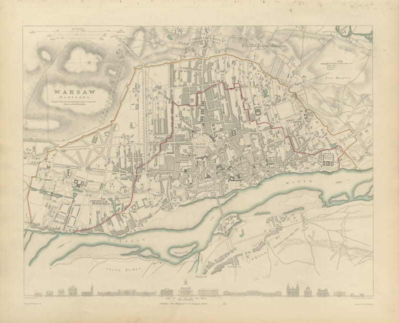
Antique Plan of Warsaw with the Vistula and Praga, 1847
1847 · € 840
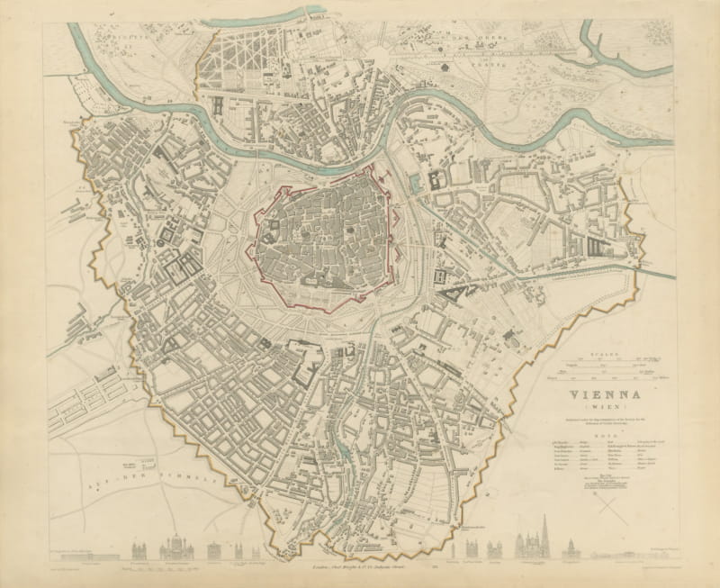
Antique Plan of Vienna with the Prater and City Walls, 1847
1847 · € 940
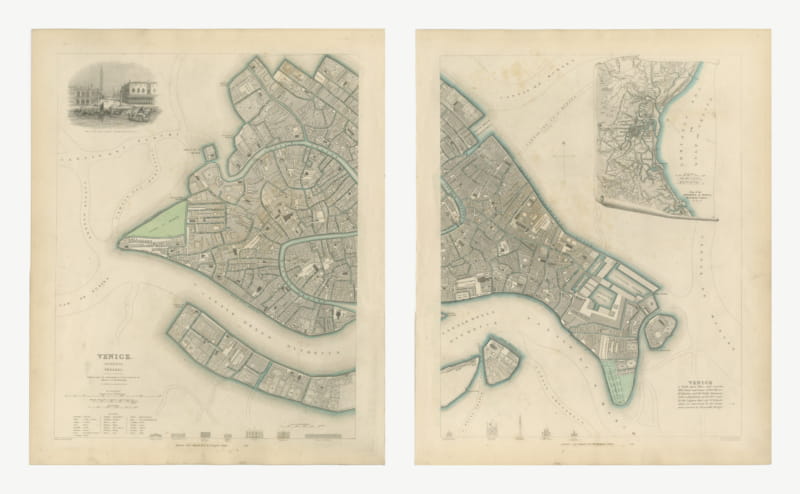
Antique Plan of Venice on Two Sheets with Lagoon Inset, 1847
1847 · € 1 250
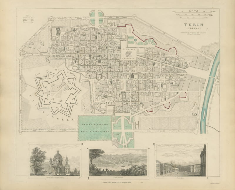
Antique Plan of Turin with La Superga and Royal Palace Views, 1847
1847 · € 690
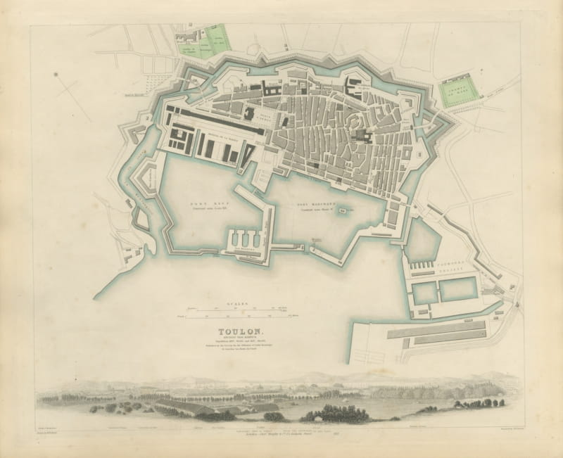
Antique Plan of Toulon with Naval Arsenal and Panorama, 1840
1840 · € 670
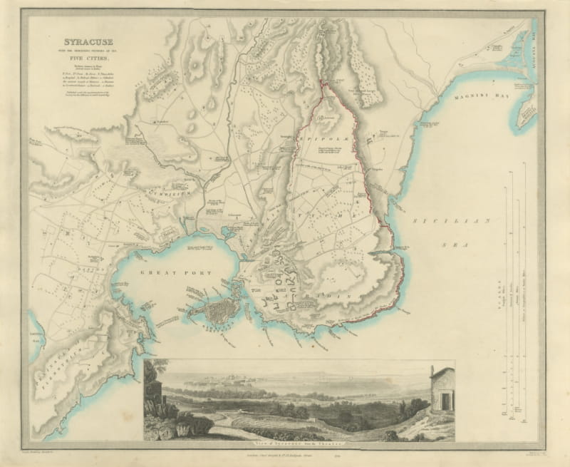
Antique Plan of Syracuse and its Five Ancient Cities, Sicily, 1847
1847 · € 890
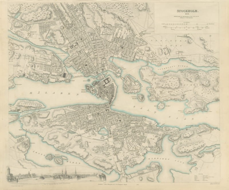
Antique Plan of Stockholm with a Panorama from Langholmen, 1838
1838 · € 920
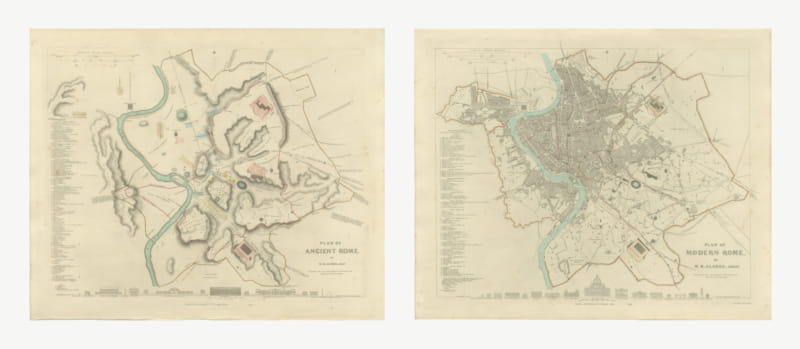
Antique Plans of Ancient and Modern Rome by W. B. Clarke, 1847
1847 · € 1 290
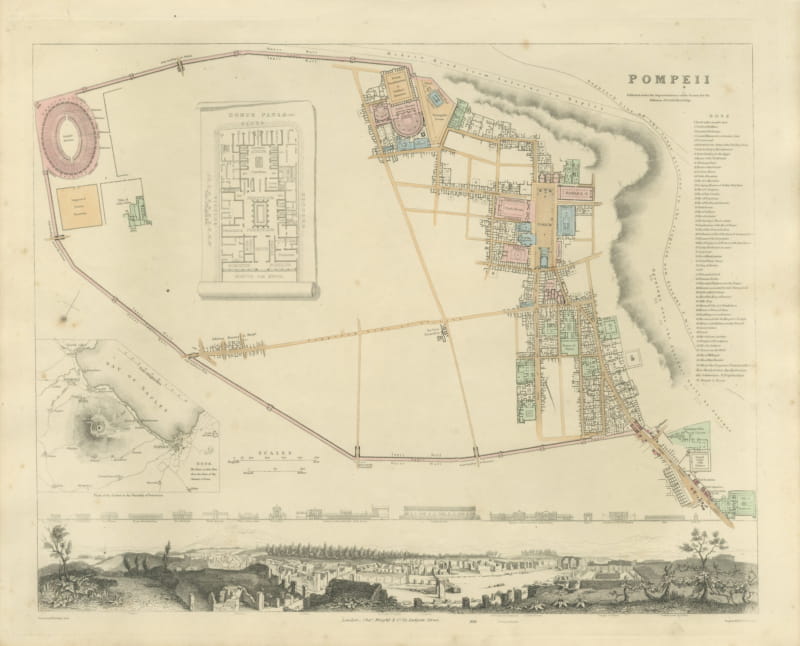
Antique Plan of Pompeii with House of Pansa and Vesuvius Inset, 1847
1847 · € 990
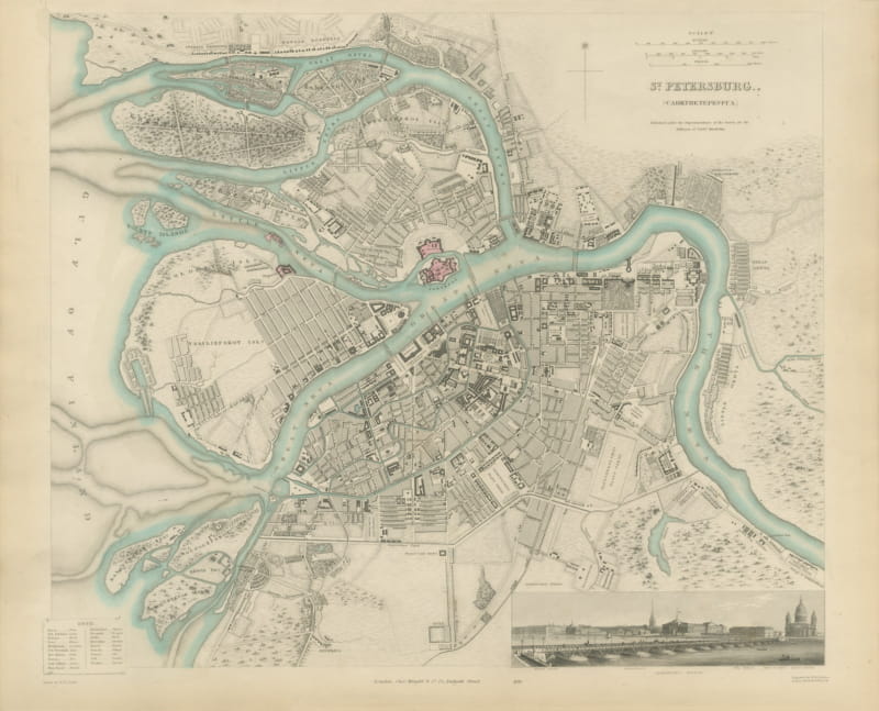
Antique Plan of Saint Petersburg with the Neva and Admiralty, 1847
1847 · € 1 250
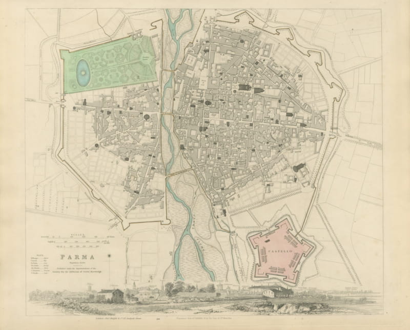
Antique Plan of Parma with the Castello and a Panoramic View, 1847
1847 · € 730
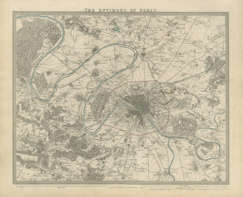
Antique Map of the Environs of Paris with Versailles, 1847
1847 · € 680
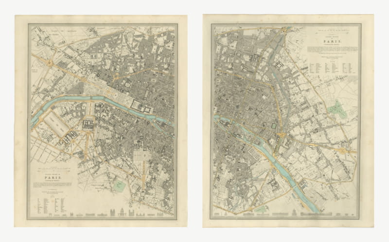
Antique Plan of Paris on Two Sheets, Western and Eastern, 1847
1847 · € 1 250
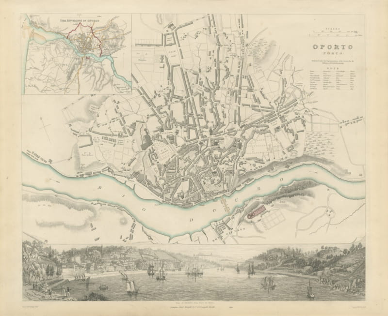
Antique Plan of Oporto with Douro Panorama and Environs Inset, 1847
1847 · € 690
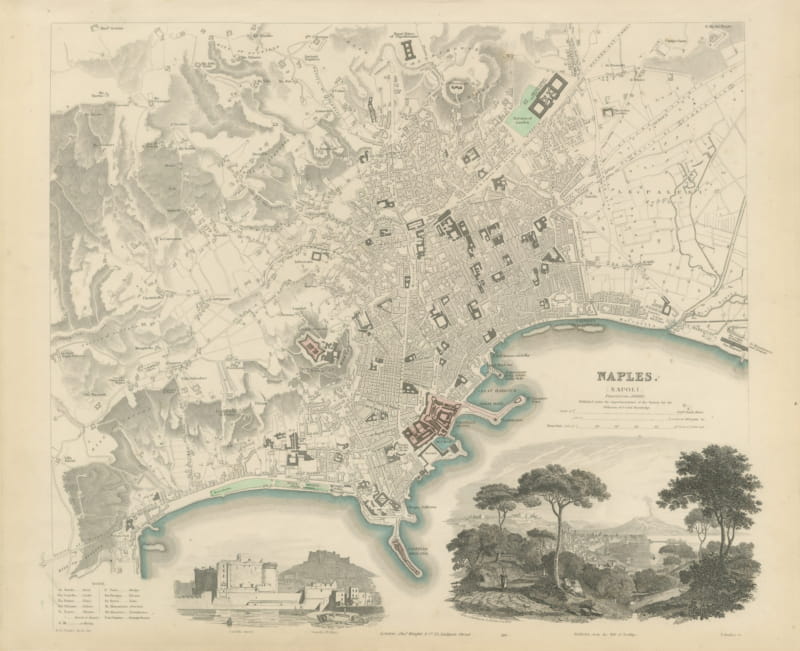
Antique Plan of Naples with Castel Nuovo and a Posillipo View, 1847
1847 · € 830
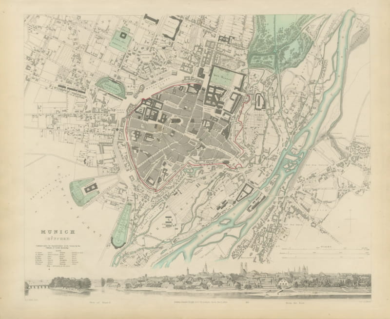
Antique Plan of Munich with Panoramic View from the East, 1847
1847 · € 790
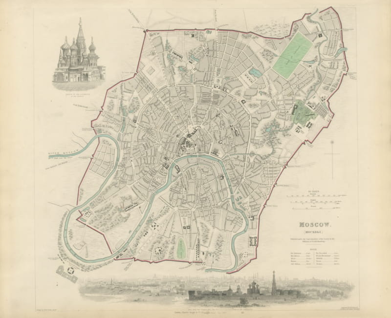
Antique Plan of Moscow with Kremlin and Sparrow Hills View, 1847
1847 · € 1 120
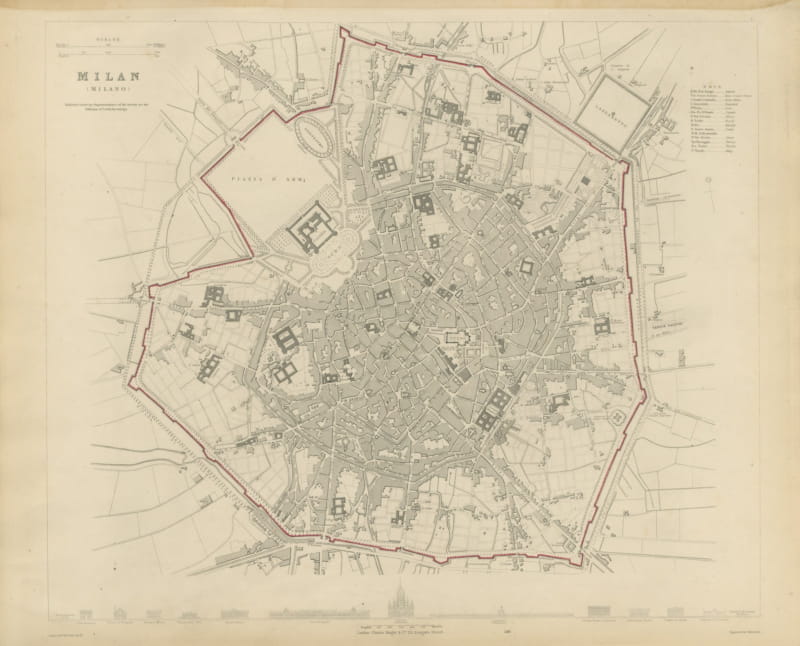
Antique Plan of Milan with Duomo and La Scala Profiles, 1847
1847 · € 880
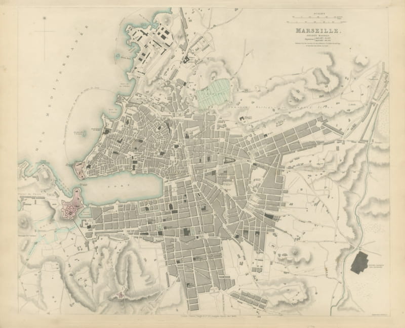
Antique Plan of Marseille, Ancient Massilia, with the Old Port, 1840
1840 · € 790
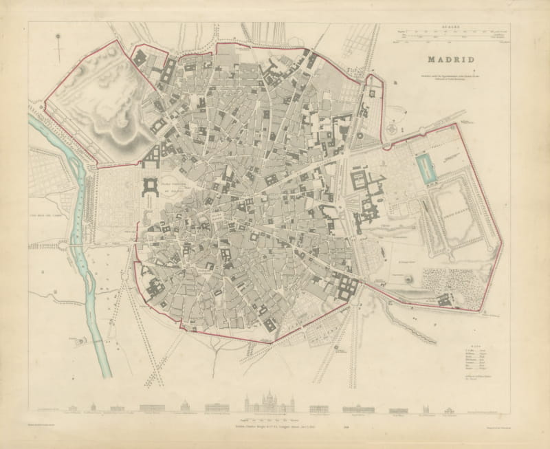
Antique Plan of Madrid with the Prado and Royal Palace, 1831
1831 · € 890
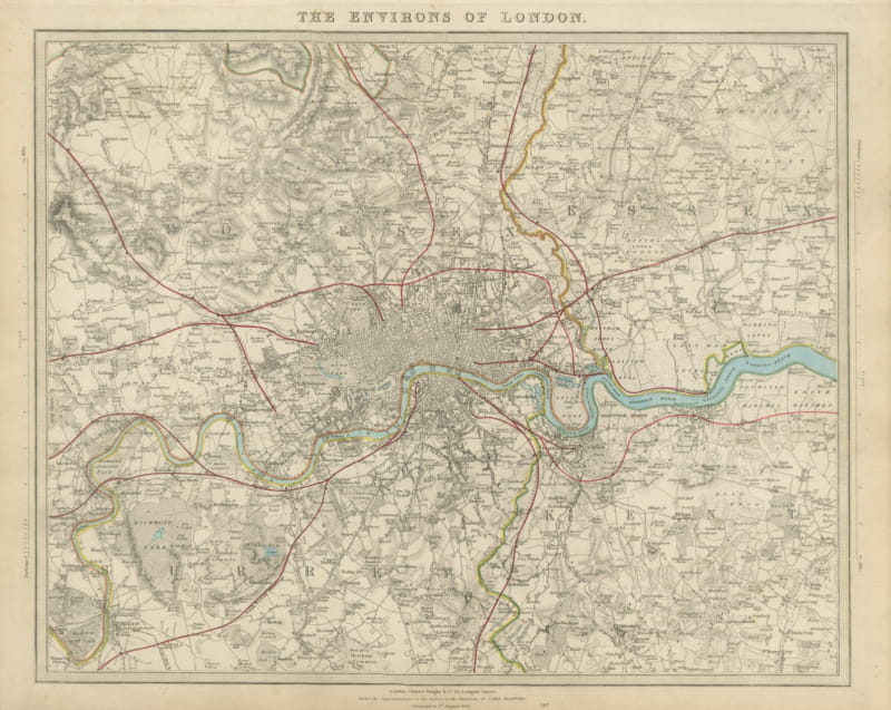
Antique Map of the Environs of London, Corrected to 1845
1845 · € 840
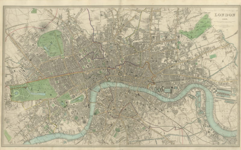
Large Antique Plan of London with the Thames and the Parks, 1846
1846 · € 1 350
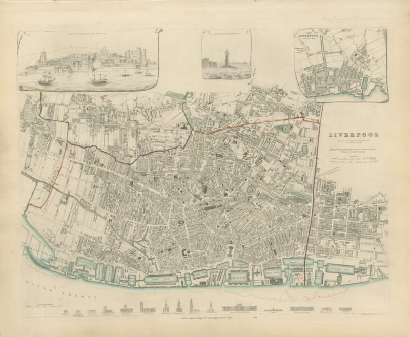
Antique Plan of Liverpool with Albert Dock and a 1650 View, 1847
1847 · € 760
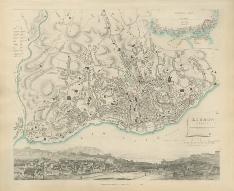
Antique Plan of Lisbon with Environs Inset and Panorama, 1847
1847 · € 940
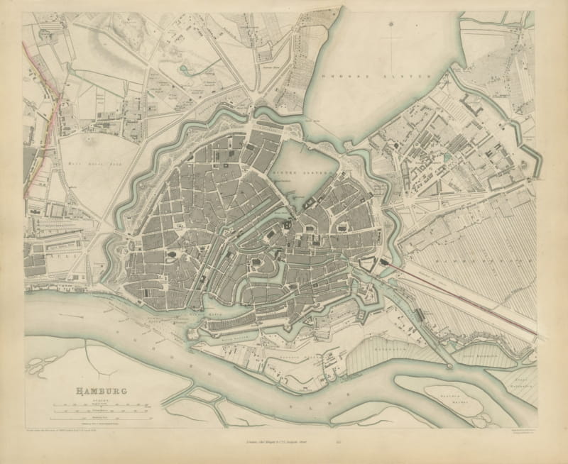
Antique Plan of Hamburg Before the Great Fire, SDUK, 1841
1841 · € 740
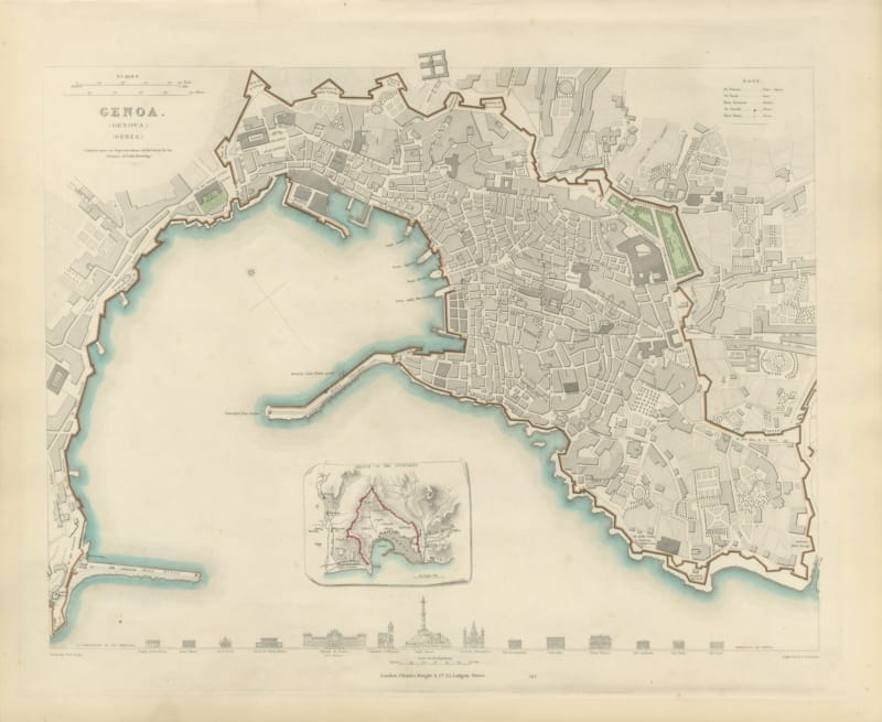
Antique Plan of Genoa with Outworks Inset and Palace Profiles, 1847
1847 · € 680
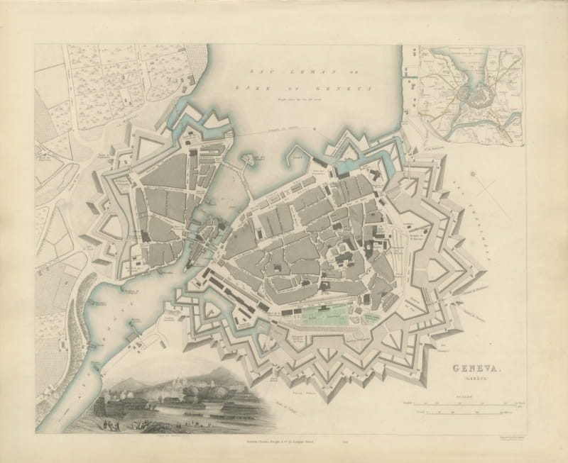
Antique Plan of Geneva with Environs Inset and Lakeside View, 1847
1847 · € 760
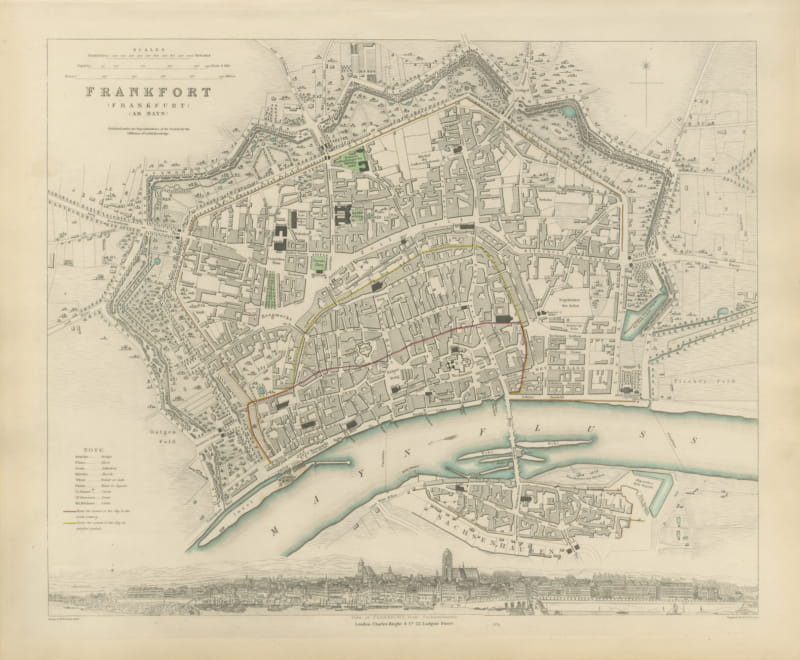
Antique Plan of Frankfurt with Panorama from Sachsenhausen, 1847
1847 · € 670
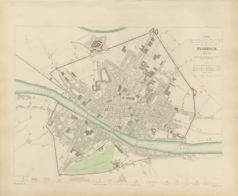
Antique Plan of Florence with Boboli Gardens and the Duomo, 1847
1847 · € 700
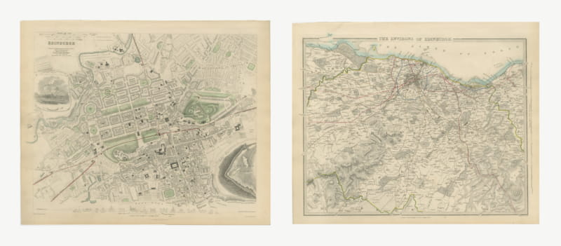
Antique Plan of Edinburgh and its Environs with the Castle, 1847
1847 · € 1 100
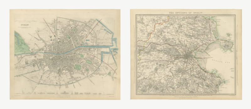
Antique Plan of Dublin and its Environs, Howth to Dalkey, 1847
1847 · € 1 160
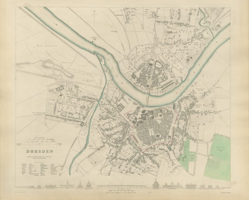
Antique Plan of Dresden with the Zwinger and Elbe Bridge, 1847
1847 · € 680
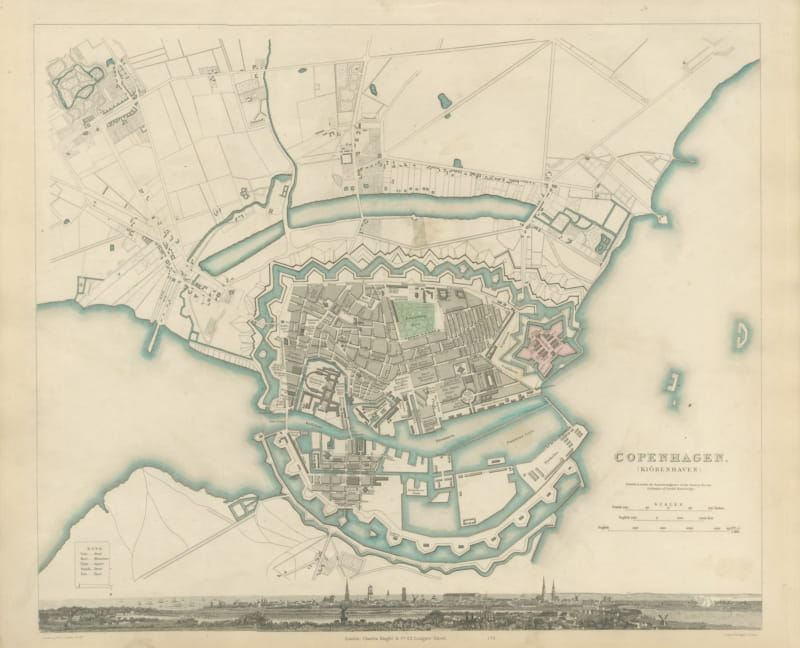
Antique Plan of Copenhagen with Panoramic City View, 1847
1847 · € 700
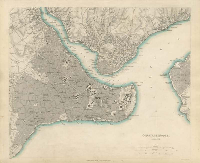
Antique Plan of Constantinople, Stamboul, Galata and Scutari, 1847
1847 · € 1 200
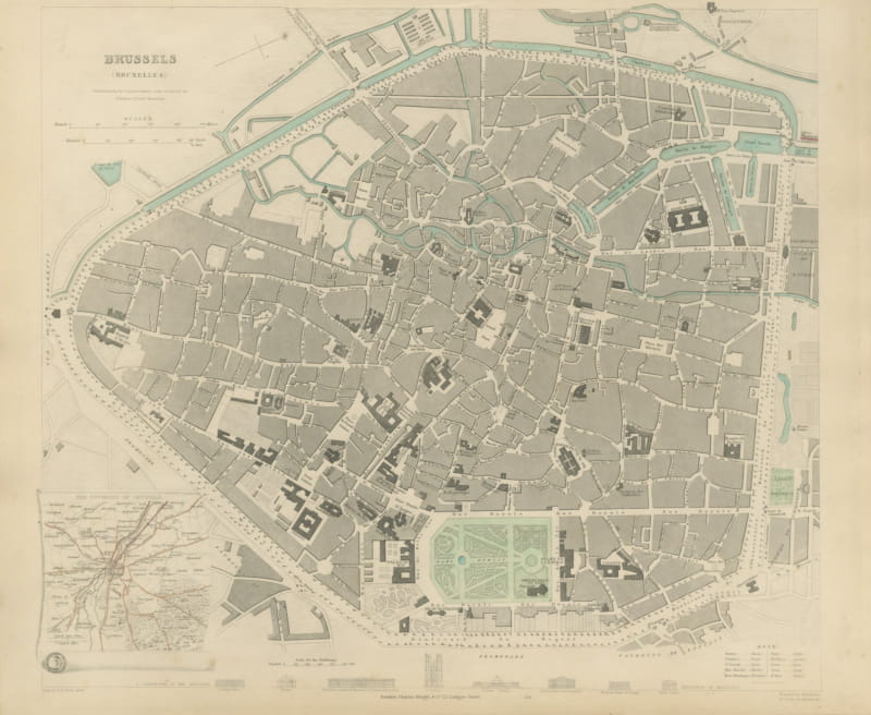
Antique Plan of Brussels with Environs Inset and Landmarks, 1847
1847 · € 680
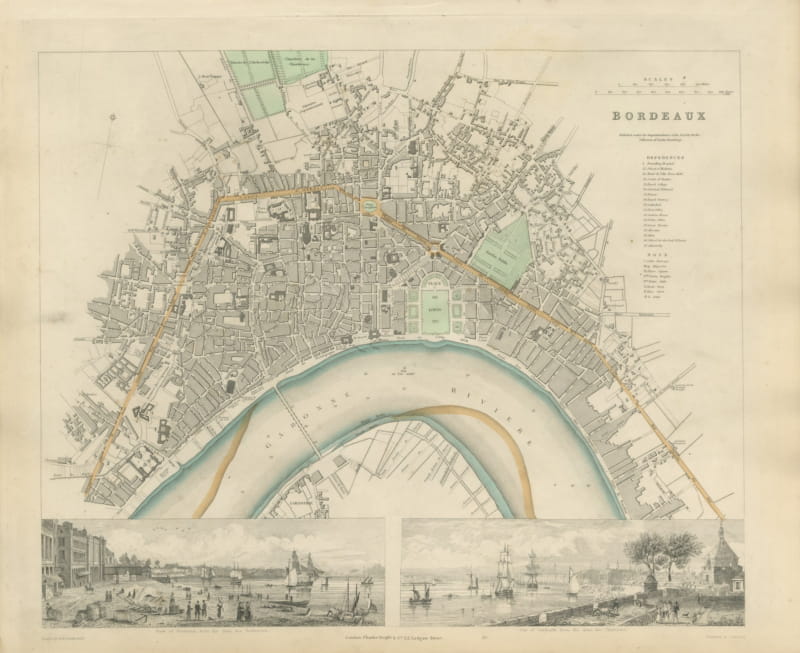
Antique Plan of Bordeaux with Two Views of the Garonne, 1847
1847 · € 670
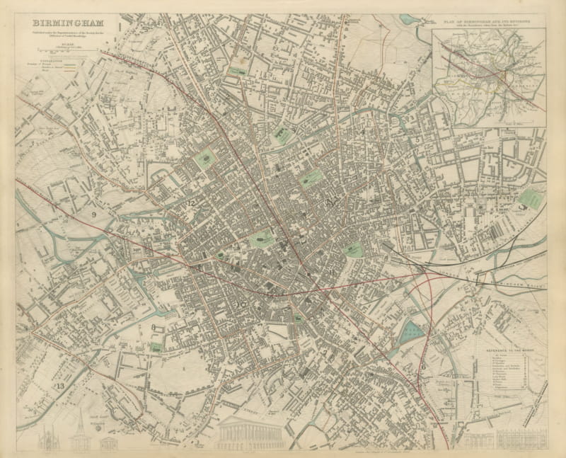
Antique Plan of Birmingham with Reform Act Ward Boundaries, 1847
1847 · € 640
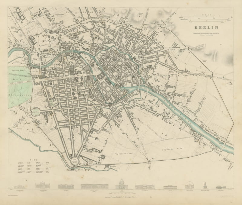
Antique City Plan of Berlin with Unter den Linden, 1847
1847 · € 700
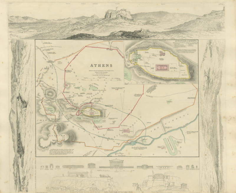
Antique Plan of Athens with Acropolis Inset and Panorama, 1847
1847 · € 700
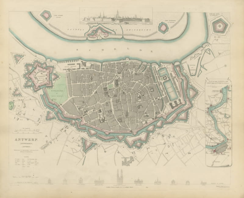
Decorative Plan of Antwerp with Citadel and Scheldt Forts, 1847
1847 · € 680
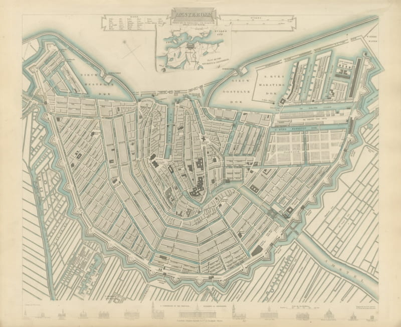
Antique Plan of Amsterdam with Environs Inset, Canal Ring, 1847
1847 · € 780
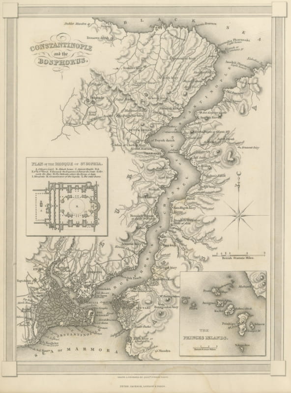
Antique Map of Constantinople with Princes Islands Inset, Findlay, circa 1850
circa 1850 · € 285
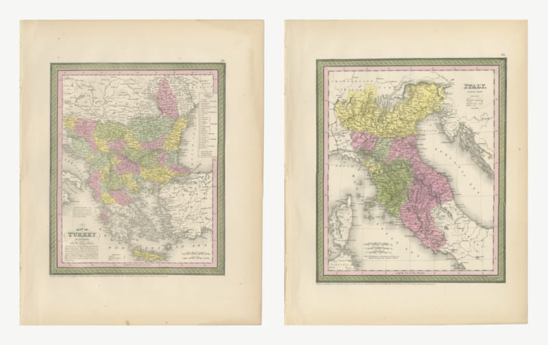
Turkey in Europe and Northern Italy, Mitchell Maps, Hand Colored Pair, 1850
1850 · € 540
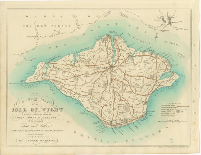
Brannon Hand-Colored Map of the Isle of Wight, Seats and Villas, circa 1829
circa 1829 · € 370
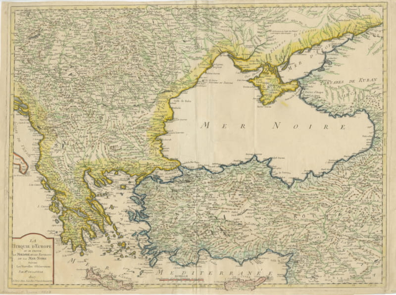
European Turkey, Moldavia and the Black Sea, Antique Map, Paris, 1807
1807 · € 980
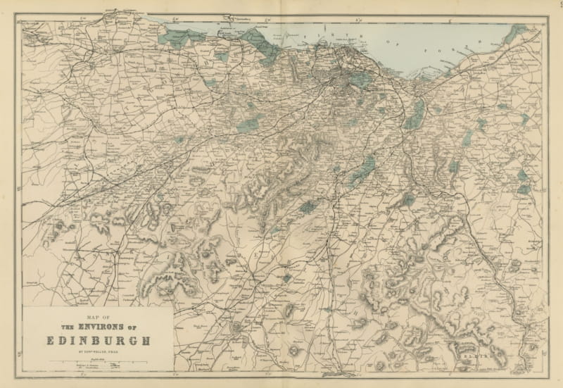
Antique Map of the Environs of Edinburgh and the Firth of Forth, 1885
1885 · € 340
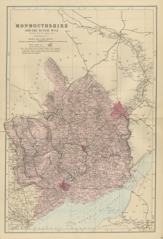
Antique Map of Monmouthshire, the River Wye and Bristol Channel, 1885
1885 · € 290
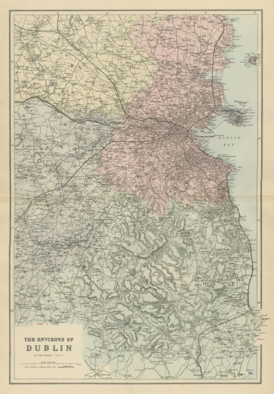
Antique Map of the Environs of Dublin with Dublin Bay and Wicklow, 1885
1885 · € 340