About this sheet
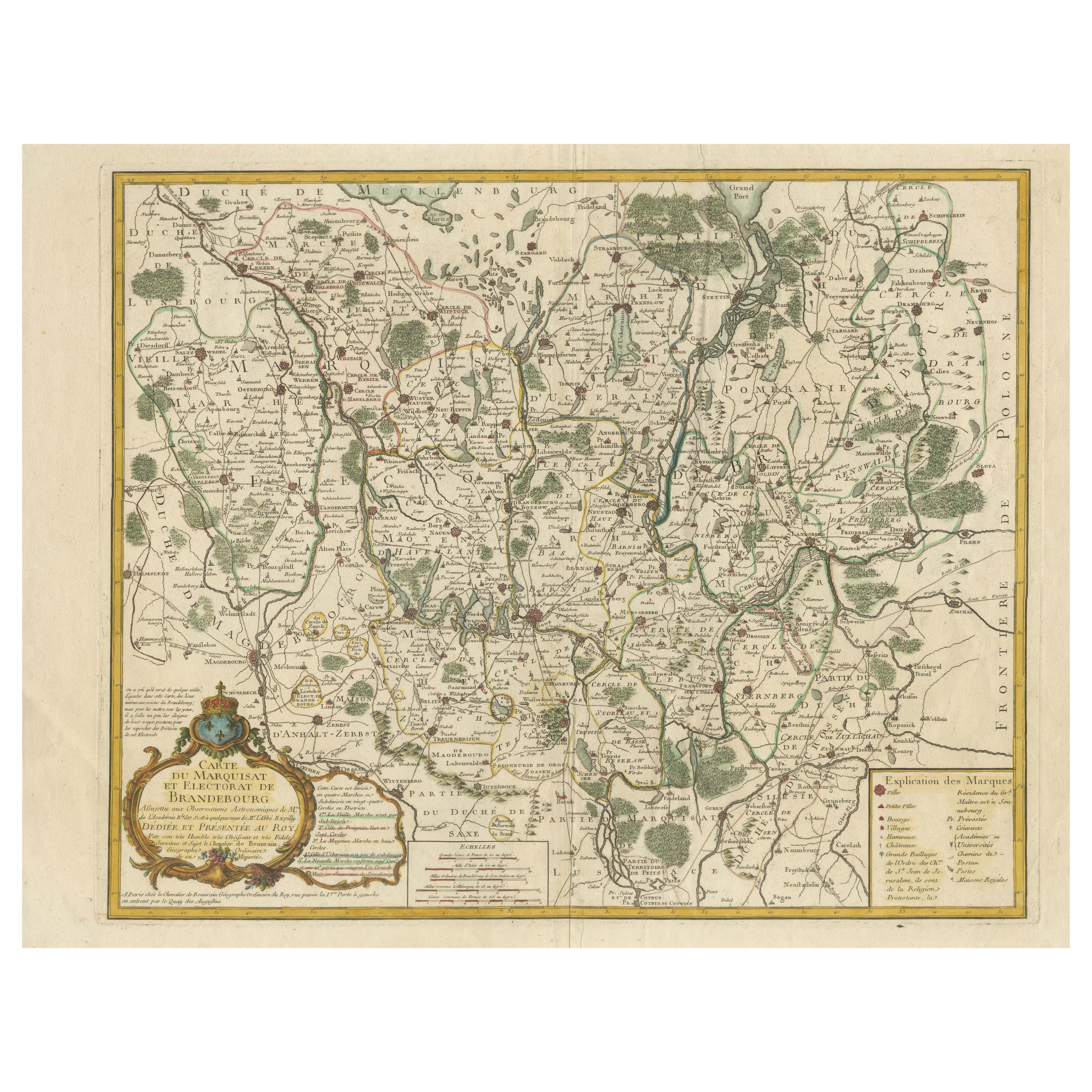
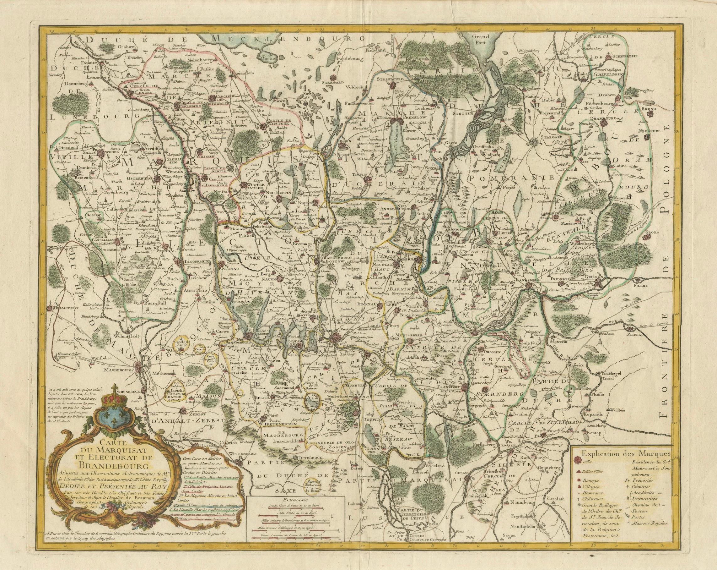
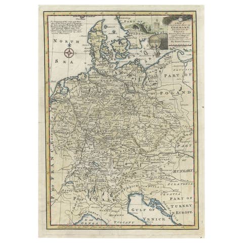
Historical Map of the Margraviate and Electorate of Brandenburg by Chevalier de Beaurain - Circa 1750
This impressive historical map, titled "Carte du Marquisat et Electorat de Brandebourg," was created by the renowned French cartographer Jean de Beaurain, also known as Chevalier de Beaurain, around 1750. As the official geographer to the King of France, Beaurain was highly respected for his meticulous and scholarly approach to cartography, and this map is a fine example of his dedication to accuracy and detail.
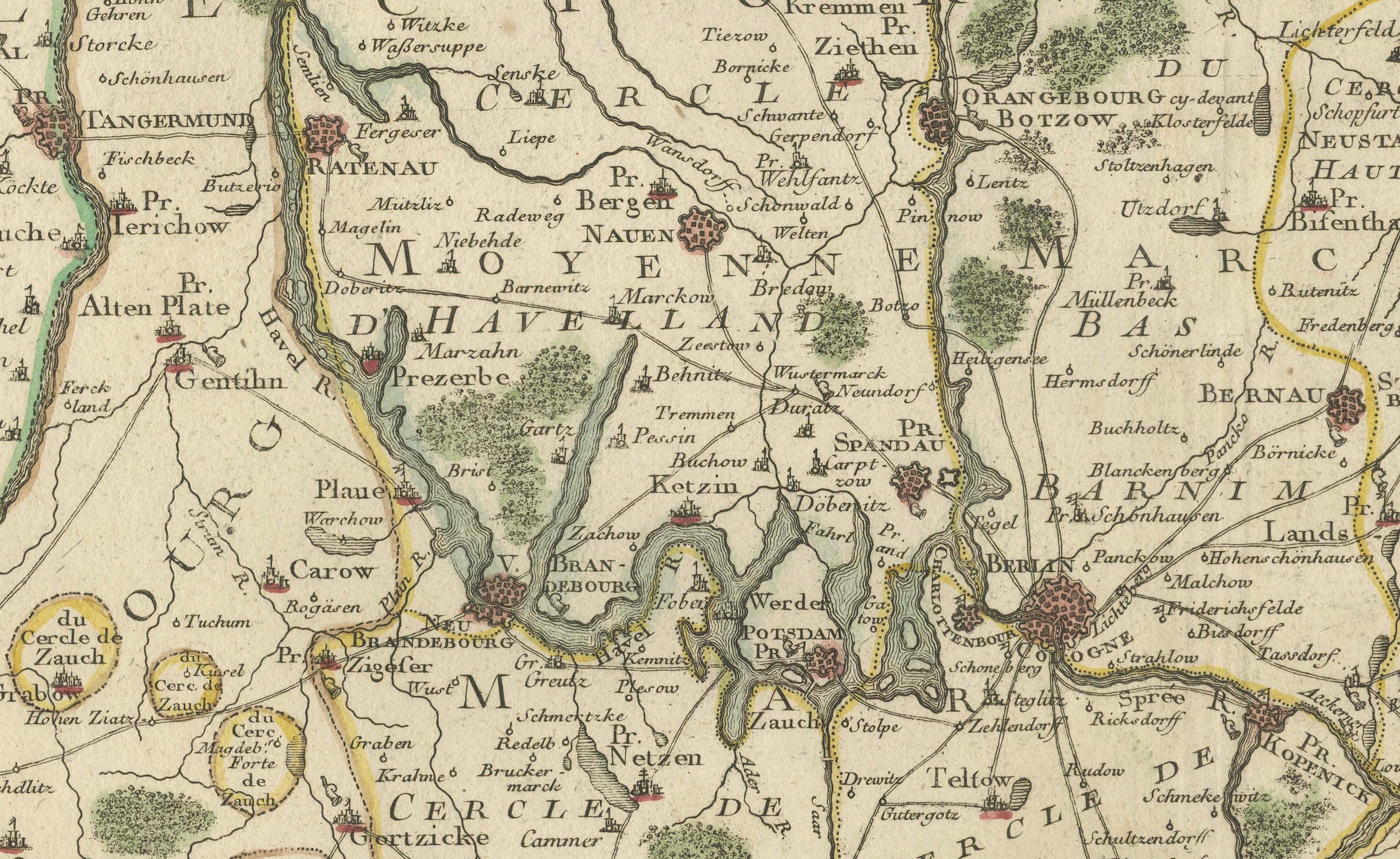
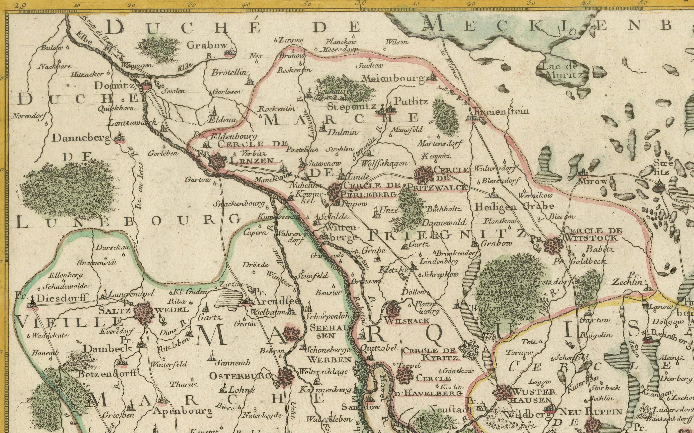
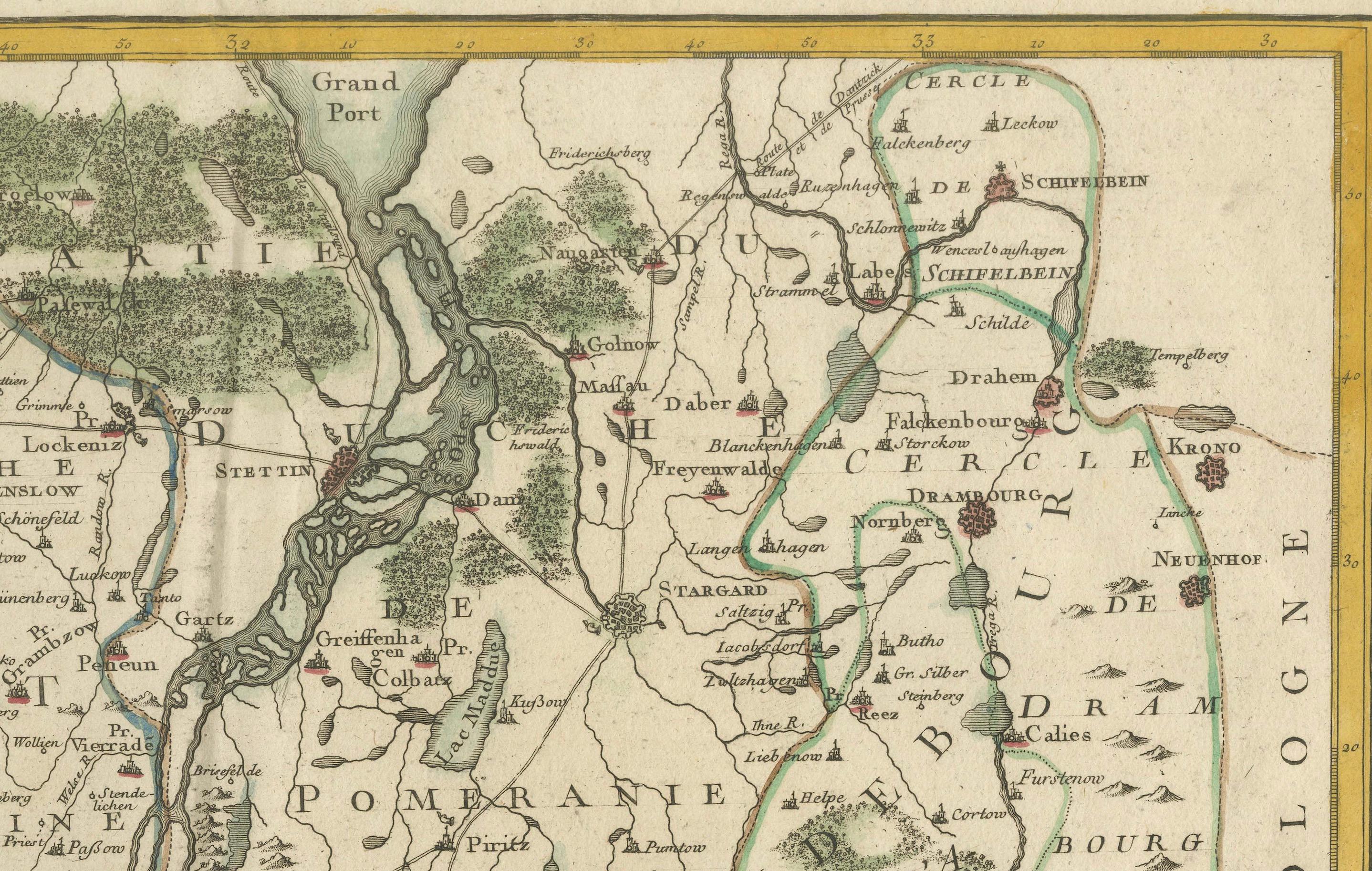
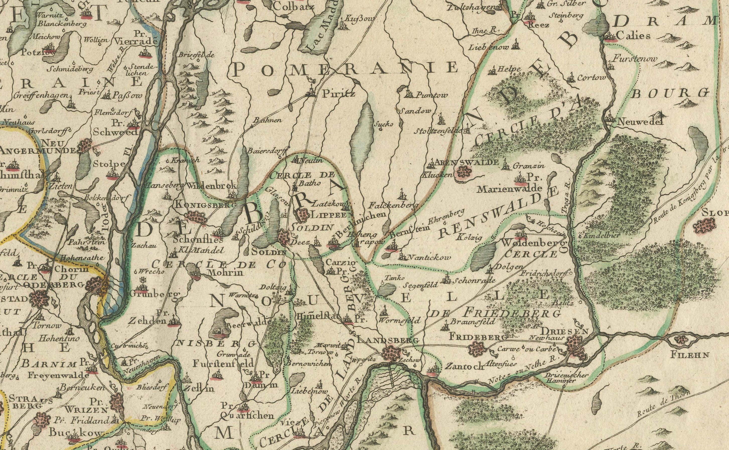
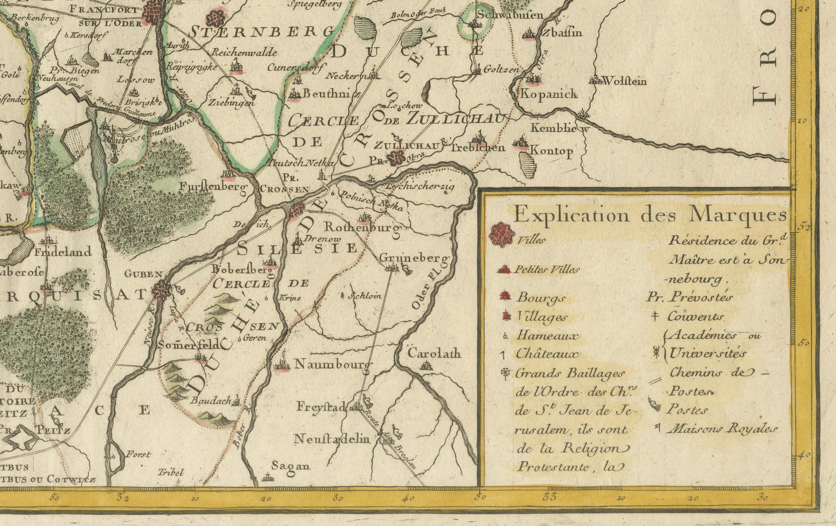
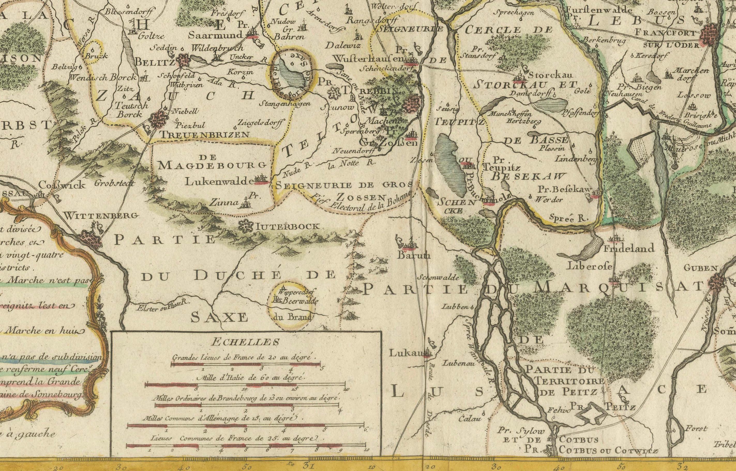
The map represents the Margraviate and Electorate of Brandenburg, a significant territorial entity within the Holy Roman Empire that later became the core of the Kingdom of Prussia. The map also encompasses parts of the Duchy of Mecklenburg to the north and Silesia to the southeast. The detailed geographical representation includes major rivers, forests, and an extensive network of towns and villages. The old hand coloring beautifully highlights the political divisions and administrative boundaries, with shades of green, yellow, and pink marking different territories.
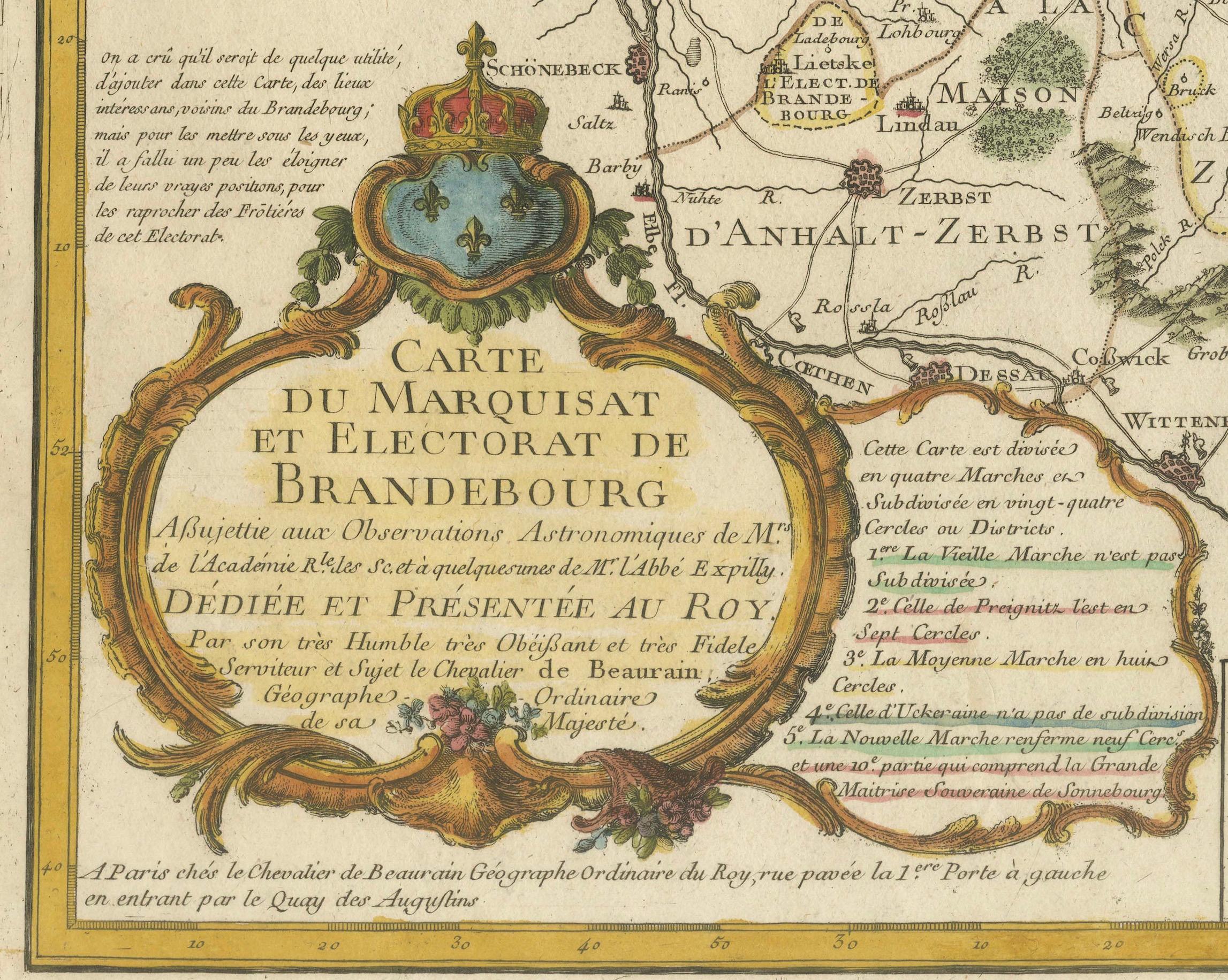
One of the most captivating elements of this map is the ornate title cartouche located at the bottom left. The cartouche, framed with intricate rococo ornamentation and crowned by a royal coat of arms with fleur-de-lis, exemplifies the decorative style typical of French cartography during the mid-18th century. The cartouche inscription reads:
Carte du Marquisat et Electorat de Brandebourg
Assujettie aux Observations Astronomiques de l'Académie Royale et à quelques-unes de M. l'Abbé Expilly
Dédiée et Présentée au Roy
Par son très humble très obéissant et très fidèle serviteur et sujet le Chevalier de Beaurain, Géographe Ordinaire de Sa Majesté
This dedication to the King of France underlines Beaurain’s official role and his meticulous efforts to present the most accurate geographical information available at the time. The map is divided into four distinct "Marches" or regions: Vieille Marche, Celle de Prignitz, Moyenne Marche, and Nouvelle Marche, as indicated in the legend.
The map’s precision is remarkable, with countless place names and administrative subdivisions presented clearly and accurately. Rivers, roads, and forests are finely engraved, and the hand coloring further enhances the distinction between regions and territories. The map also includes an elaborate mileage scale at the lower right, framed by baroque ornamentation, demonstrating both aesthetic appeal and practical use.
The map’s production technique involved copperplate engraving, where the image was carefully incised into a copper plate, inked, and pressed onto paper. The resulting print was then hand-colored, giving each piece a unique character and vibrancy.
Condition: The map is in good condition with vivid hand coloring and sharp engraving. Minor signs of aging, such as light toning and faint creases, are present but do not detract from the overall quality. The paper is robust and well-preserved.
Framing Tips: To emphasize the map’s historic elegance, choose a dark wooden or gilded frame with a cream or light beige mat. UV-protected, non-reflective glass is recommended to preserve the vibrant hand coloring and delicate paper. Archival-quality framing materials will ensure long-lasting protection and an impressive presentation.